The best road cycling routes around Westlinton
4.7
(88)
2,984
riders
308
rides
Road cycling around Westlinton offers a blend of challenging terrain and scenic routes, situated at the foot of the Pentland Hills. The area features a variety of cycling paths, predominantly on paved surfaces, that traverse hills and woodlands. Quiet country roads provide an ideal setting for road cyclists, with routes often incorporating picturesque natural features such as the Lyne Water and various reservoirs. The landscape provides options for different fitness levels, from moderate rides to more demanding routes with significant…
Last updated: July 5, 2026
47
riders
70.2km
02:49
360m
360m
Moderate road ride. Good fitness required. Mostly well-paved surfaces and easy to ride.
15
riders
88.5km
03:39
460m
460m
Moderate road ride. Good fitness required. Mostly well-paved surfaces and easy to ride.

Sign up for free
11
riders
55.1km
02:30
550m
550m
Moderate road ride. Good fitness required. Mostly well-paved surfaces and easy to ride.
15
riders
74.2km
03:12
480m
480m
Moderate road ride. Good fitness required. Some segments of this route may be unpaved and difficult to ride.
7
riders
75.1km
03:53
740m
740m
Moderate road ride. Good fitness required. Mostly well-paved surfaces and easy to ride.
Get access to more routes and recommendations from other explorers.
Sign up for free
Already have an account?
Our route recommendations are based on thousands of hikes, rides, and runs completed by other people on komoot.
Start today with a free account
Your next adventure awaits.
Login or Signup
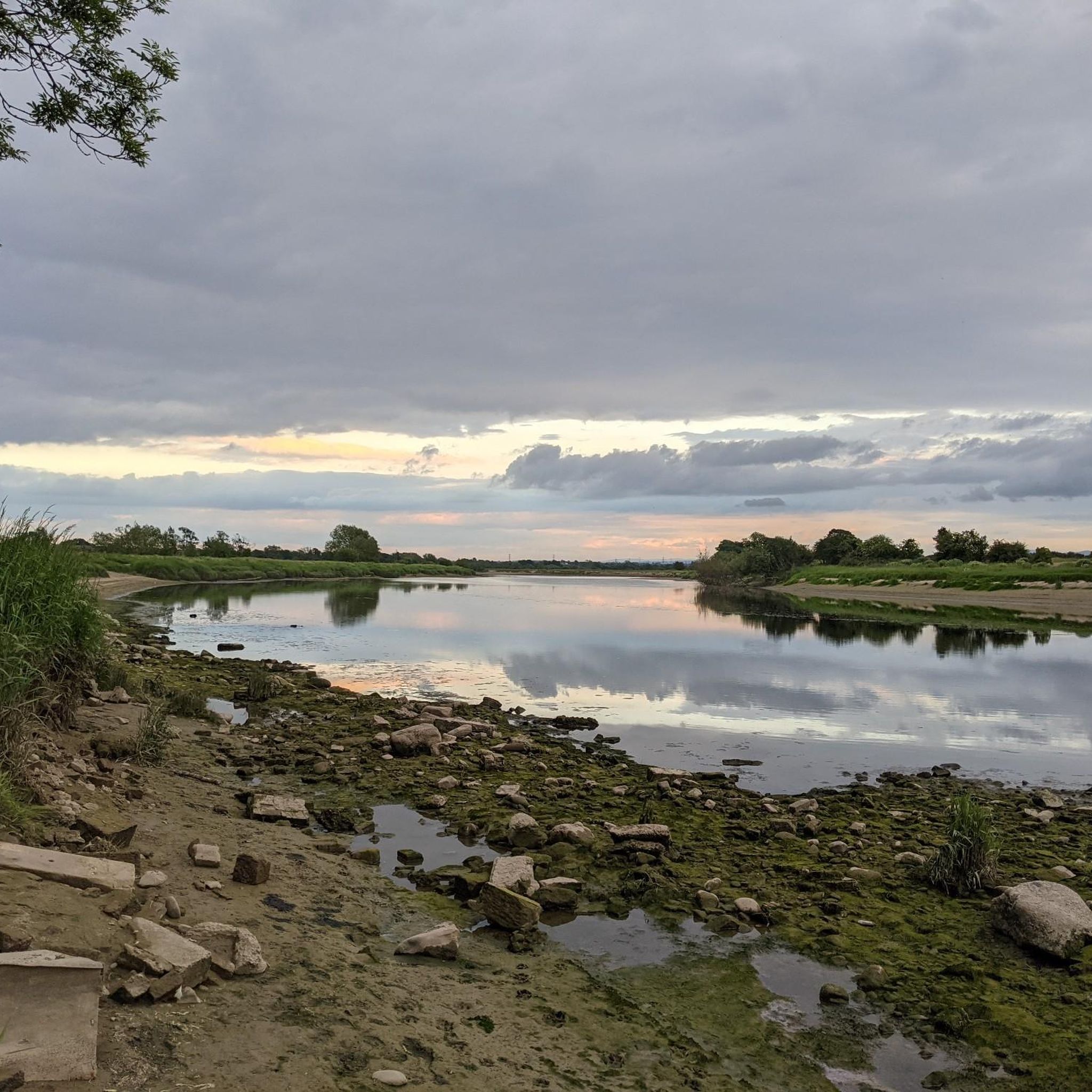
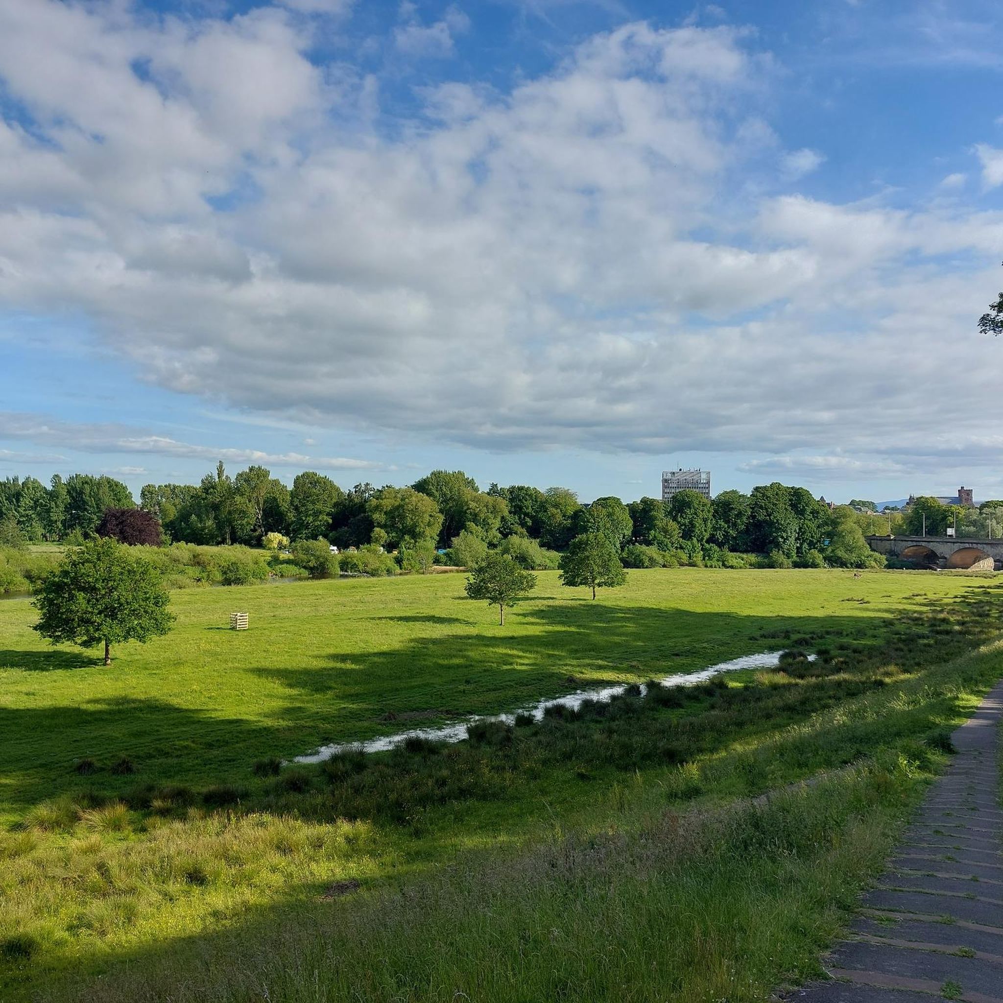

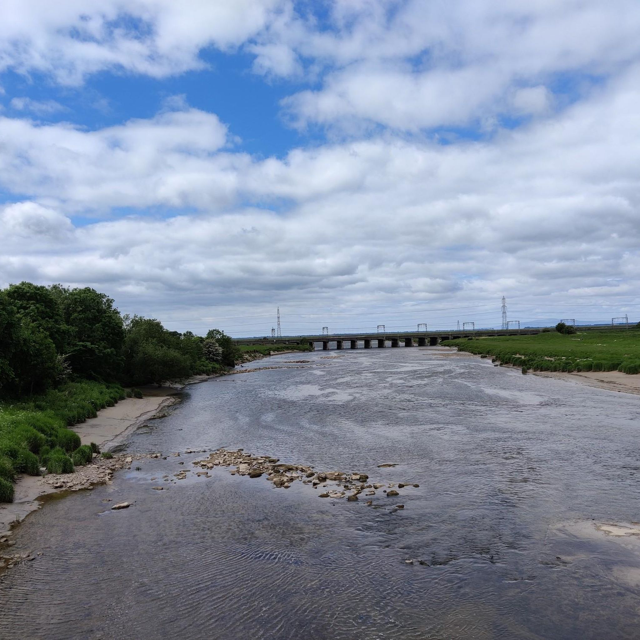
Tips from the Community

At this small sacred monument, there are several reasons why cyclists should not pass by carelessly, but should linger for a moment: Firstly, the church, together with the surrounding cemetery and the 'Bewcastle Cross' standing on the grounds, form a very harmonious unit. Secondly, when contemplating this cross, one looks far back into history, as its creation is dated to the 7th or 8th century. Thirdly, however – and mainly (!) – the artistic design of the obelisk, which rises to about the lower eaves of the church roof, tapering slightly upwards, is extremely noteworthy ('Amy' and 'Joe' have already described this in their contributions). My personal conclusion: Although the actual cross, which once crowned the obelisk, has long been missing, it is still a noteworthy small sacred monument!
0
0

Askerton Castle is a rare example of a fortified medieval manor house, situated in remote north Cumbria, about three miles north of Hadrian's Wall. The original building was constructed around 1290 as an unfortified hall, but in the late 15th century, two battlemented towers—the Dacre Tower and the Dovecot Tower—were added by Thomas, Lord Dacre, as part of a border defense against the notorious Border Reivers. In the 16th century, the complex was expanded with a stable block and additional wings for troop accommodation. A third tower on the northwest corner is believed to have been lost, possibly to fire, but traces of its stonework and staircases are still visible in the walls. The structure contains impressive oak beams, dated between 1494 and 1510, and shows clear stages of architectural evolution—from a simple hall to a military stronghold. Although the castle is not open to the public, it is now part of the Askerton Castle Estate, an organic farm that produces beef, lamb, pork, and poultry. The building is a Grade I listed building, indicating its exceptional historical value.
7
0
St Cuthbert Bewcastle Church stands on the foundations of a Roman fort and has roots dating back to the 13th century. Although the current building largely dates from the 18th and 19th centuries, parts of the east chancel are still medieval. The church exudes simplicity and tranquility, with a rectangular plan and a wooden gallery on the west side. Within the church, traces of the Border Reivers' turbulent history can be found, including gravestones bearing names like Armstrong and Routledge.
8
0
Bewcastle Fort (Latin: Fanum Cocidi) was a Roman fort in the English town of Bewcastle. The fort lay north of Hadrian's Wall and was connected by a road (Maiden Way) to the Banna (Birdoswald) fort on the wall. The fort's Latin name (The Shrine of Cocidius) indicates that it enclosed an existing local shrine. The Romans equated the deity Cocidius with Mars, and the fort was possibly built there to control tribal gatherings. In the second century, the Cohors I Dacorum mil. eq. (a mixed cohort with infantry and cavalry in dual garrisons, with auxiliaries from Dacia) was stationed there. A dual garrison cohort was also likely stationed there in the third century. By 400, before Hadrian's Wall was abandoned, Bewcastle Fort had already been abandoned. Around 1092, Bewcastle Castle was built in a corner of the former fortress, using Roman stone. The church of St. Cuthbert is also located within the old fortress walls.
7
0
St. Cuthbert’s Church in Kirklinton is a characterful village church in north Cumbria, built in 1845 on the site of an older medieval church. The building is constructed of red sandstone with a three-story west tower, featuring battlements, pointed-arch windows, and a 12th-century Norman chancel arch. Inside, you'll find a mix of medieval elements and Victorian details: a vaulted oak roof, stained-glass windows with heraldic motifs from the Dacre-Appleby family, and an Art Nouveau oil lamp set from the Keswick School of Industrial Art. The church also contains funerary monuments from the 17th and 18th centuries, including three aedicules for members of the Appleby family.
8
0
The Bewcastle Cross. This 7th-century Anglo-Saxon cross is one of the oldest and most exquisite in Europe. It still stands in its original location in the church garden and is richly decorated with runes, wickerwork, and Christian iconography. On the west side, you see Christ, John the Baptist with the Lamb of God, and a falconer who may represent John the Evangelist. On the east side, a vine winds upward, populated by mythical and real animals—a symbol of the connection between creation and faith.
10
0
The ruins of Bewcastle Castle lie mysteriously tucked away in the northeastern corner of an old Roman fort in Cumbria. The original castle was built around 1092 on the foundations of the Fanum Cocidii fort and served as a border defense against Scottish incursions. Destroyed in 1173, it was rebuilt in the 14th century by John de Strivelyn, a general of King Edward III. The castle had a square plan of 27 meters, surrounded by a dry moat that partially utilized Roman ditches. Within the walls were buildings surrounding a small courtyard, with a gatehouse added later. The walls are up to 9 meters high, with visible windows and fireplaces on the second floor. Bewcastle Castle was strategically located on the Maiden Way, a Roman road leading to Hadrian's Wall, and played a role in conflicts with the notorious Border Reivers. Today the ruins are unstable and partly inaccessible, but they remain a powerful symbol of border defense and medieval architecture.
9
0

Lockerbie high street and town centre close proximity to train station, food options such as Greeg’s and cafes also a Tesco superstore. Toilets available at train station and Tesco just incase needed 🤫
0
0
Frequently Asked Questions
How many road cycling routes are available around Westlinton?
There are over 325 road cycling routes around Westlinton, offering a wide range of options for different fitness levels and preferences. These routes are highly rated by the komoot community, with an average score of 4.7 stars.
What kind of terrain and difficulty can I expect on road cycling routes near Westlinton?
Road cycling around Westlinton offers a blend of challenging terrain and scenic routes, predominantly on paved surfaces. You'll find options from moderate rides, such as the Gretna Green Signpost loop from Rockcliffe, to more demanding routes that require very good fitness and may include segments where you need to dismount and push your bike. The area features 86 easy, 226 moderate, and 13 difficult routes.
Are there any easy road cycling routes suitable for beginners around Westlinton?
Yes, Westlinton offers 86 easy road cycling routes. An example is the Carlisle Railway Station – Carlisle Castle loop from Kingmoor, which is a shorter, less strenuous option, ideal for those new to road cycling or looking for a relaxed ride.
What are the most scenic natural features I can see while road cycling in Westlinton?
The dramatic Pentland Hills are the most prominent natural attraction, offering expansive views. You'll also encounter picturesque reservoirs like Baddinsgill and Glencorse, and the tranquil Lyne Water. Routes often traverse hills and woodlands, providing a beautiful backdrop to your ride.
Are there any historical landmarks or points of interest along the road cycling routes?
Yes, the area around Westlinton is rich in history. You might pass by sites such as St Michael's Church, Burgh by Sands, Carlisle Cathedral, or Carlisle Castle. The Annan Town Hall – Hoddom Castle loop from Westlinton, for instance, passes by historical points of interest.
What do other road cyclists enjoy most about cycling in Westlinton?
The komoot community highly rates road cycling in Westlinton, with an average score of 4.7 stars from over 80 reviews. Cyclists often praise the quiet country roads, the dramatic scenery of the Pentland Hills, and the variety of routes that cater to different fitness levels, from moderate rides to more challenging ascents.
Are there any circular road cycling routes around Westlinton?
Many of the road cycling routes around Westlinton are designed as loops, allowing you to start and finish in the same location. Examples include the Gretna Green Signpost loop from Rockcliffe and The Bridge Inn loop from Westlinton, which offer varied terrain and scenic views.
What is the best time of year for road cycling in Westlinton?
The area around Westlinton offers good cycling conditions for much of the year. While specific seasonal considerations can vary, the quiet country roads and scenic beauty are enjoyable in spring, summer, and autumn. Winter cycling is possible, but riders should be prepared for colder conditions and potentially more challenging surfaces.
Are there any long-distance road cycling routes in the Westlinton area?
Yes, Westlinton offers several longer routes for endurance cyclists. For example, the Annan Town Hall – Hoddom Castle loop from Westlinton covers 54.9 miles (88.5 km), and the River Esk at Canonbie – Annan Town Hall loop from Lyneside is 46.4 miles (74.6 km), both offering significant distances and elevation.
Can I find cafes or pubs along the road cycling routes in Westlinton?
While specific cafes and pubs are not detailed for every route, Westlinton and surrounding villages offer amenities where cyclists can refuel. Many routes pass through or near settlements, providing opportunities for a break and refreshments.
What are some of the more challenging road cycling routes near Westlinton?
For experienced cyclists seeking a challenge, Westlinton has 13 difficult routes. The region's terrain, particularly around the Pentland Hills, can involve significant elevation gains. Routes like the Glencorse Reservoir – Loganlea Reservoir loop, mentioned in regional research, demand very good fitness and can include segments where dismounting may be necessary.
Are there family-friendly road cycling options in Westlinton?
While road cycling generally requires a certain level of road awareness, there are 86 easy routes around Westlinton that could be suitable for families with older children or those looking for a less strenuous ride. These routes typically feature predominantly paved surfaces and gentler gradients.
Most popular attractions around Westlinton

Get inspired with the komoot mobile app


Explore more
Browse the best Road cycling routes in other regions.
