The best walks and hikes around Westlinton
4.2
(217)
2,065
hikers
175
hikes
Hiking around Westlinton offers access to diverse landscapes within the Scottish Borders, including rolling hills and sections of the Pentland Hills Regional Park. The area features significant natural elements such as the Lyne Water river valley, various woodlands, and reservoirs like Baddinsgill and West Water. Terrain varies from riverside paths to more challenging hill climbs, providing a range of hiking experiences.
Best hiking trails around Westlinton
- The most popular hiking route is Bus Stop Library Exchange – Sandysike Bunkhouse &…
Last updated: June 24, 2026
4.6
(50)
322
hikers
Hard hike. Very good fitness required. Easily-accessible paths. Suitable for all skill levels.
15
hikers
Easy hike. Great for any fitness level. Easily-accessible paths. Suitable for all skill levels.

Sign up for free
4.0
(1)
6
hikers
Easy hike. Great for any fitness level. Easily-accessible paths. Suitable for all skill levels.
5.0
(1)
4
hikers
8.48km
02:09
20m
20m
Moderate hike. Good fitness required. Easily-accessible paths. Suitable for all skill levels.
9
hikers
Moderate hike. Good fitness required. Easily-accessible paths. Suitable for all skill levels.
Get access to more routes and recommendations from other explorers.
Sign up for free
Already have an account?
Our route recommendations are based on thousands of hikes, rides, and runs completed by other people on komoot.
Start today with a free account
Your next adventure awaits.
Login or Signup

Tips from the Community

Nice place to have a toilet and refreshment stop. Popular with coach trips
0
0

This is a great snack shed, and the local owners were incredibly friendly. The lady of the house made us soup, which was served with a bread roll. This was very welcome on a wet, windy day, and we had a very nice conversation with her too. The place has some seats, overhead cover, and a shed full of snacks, microwave meals, and drinks, all neatly boxed and priced.
0
0
Rickerby Park Tower is known as a fabulous folly. It sits literally in the middle of a field adjoining the Hadrian's Wall Trail. It was built in 1835 for George Head Head (yes, a double Head), who was a magistrate and wealthy banker in Carlisle. It is a typical octagonal structure designed to be a decorative architectural feature, which was vogue in the time period.
0
0

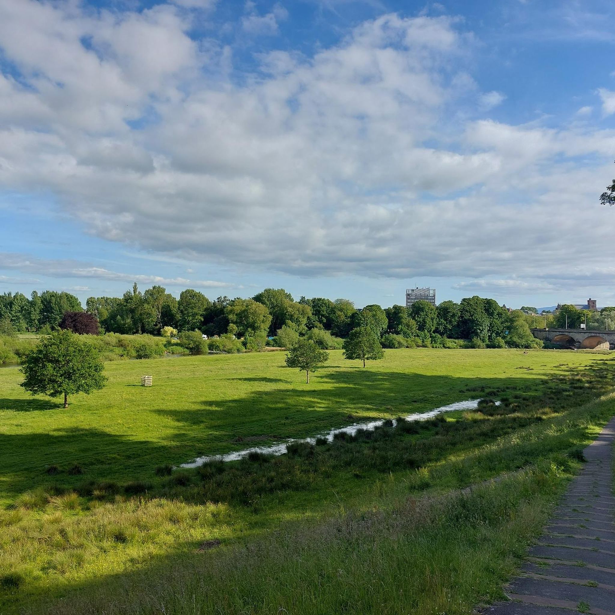
Rickerby Hall Tower is a striking Victorian folly just outside Rickerby Park in Carlisle. It was built around 1835 by George Head Head, an influential banker and mayor of Carlisle, who at the time owned Rickerby Hall. The eight-sided tower, possibly originally intended as a dovecote, is constructed of mixed red and yellow sandstone. It has a pointed roof and is slate-covered. It has three stories. It is a Grade II listed building according to Historic England.
11
0
The war memorial in Rickerby Park, Carlisle, is an impressive tribute to the fallen of the First World War, later expanded to include commemorations for the Second World War and subsequent conflicts. Officially opened on May 25, 1922, by the Earl of Lonsdale, it commemorates the men and women from Cumberland and Westmorland who gave their lives in the Great War. Formal gardens and a monumental entrance were added in 1932–33 by landscape architect Edward Prentice Mawson and city engineer Percy Dalton.
11
0
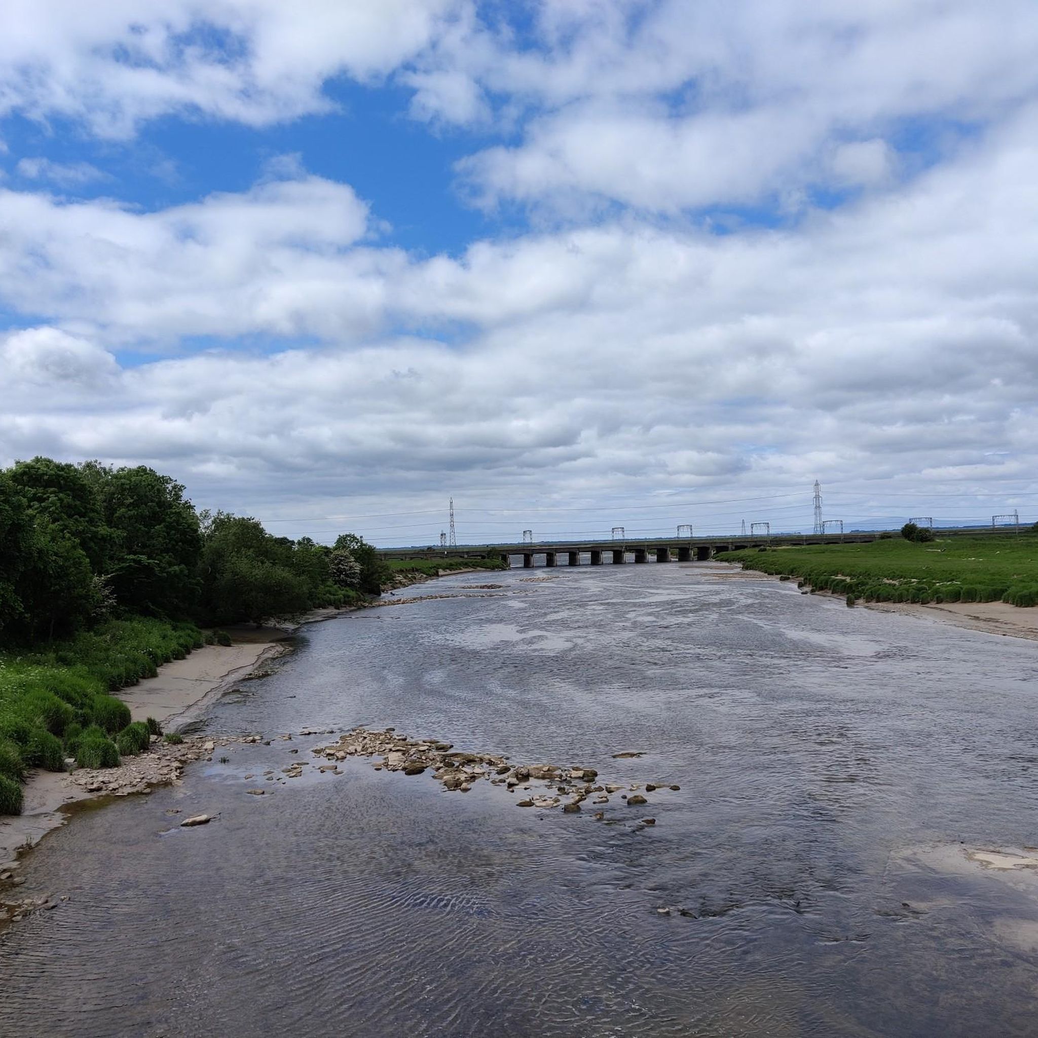
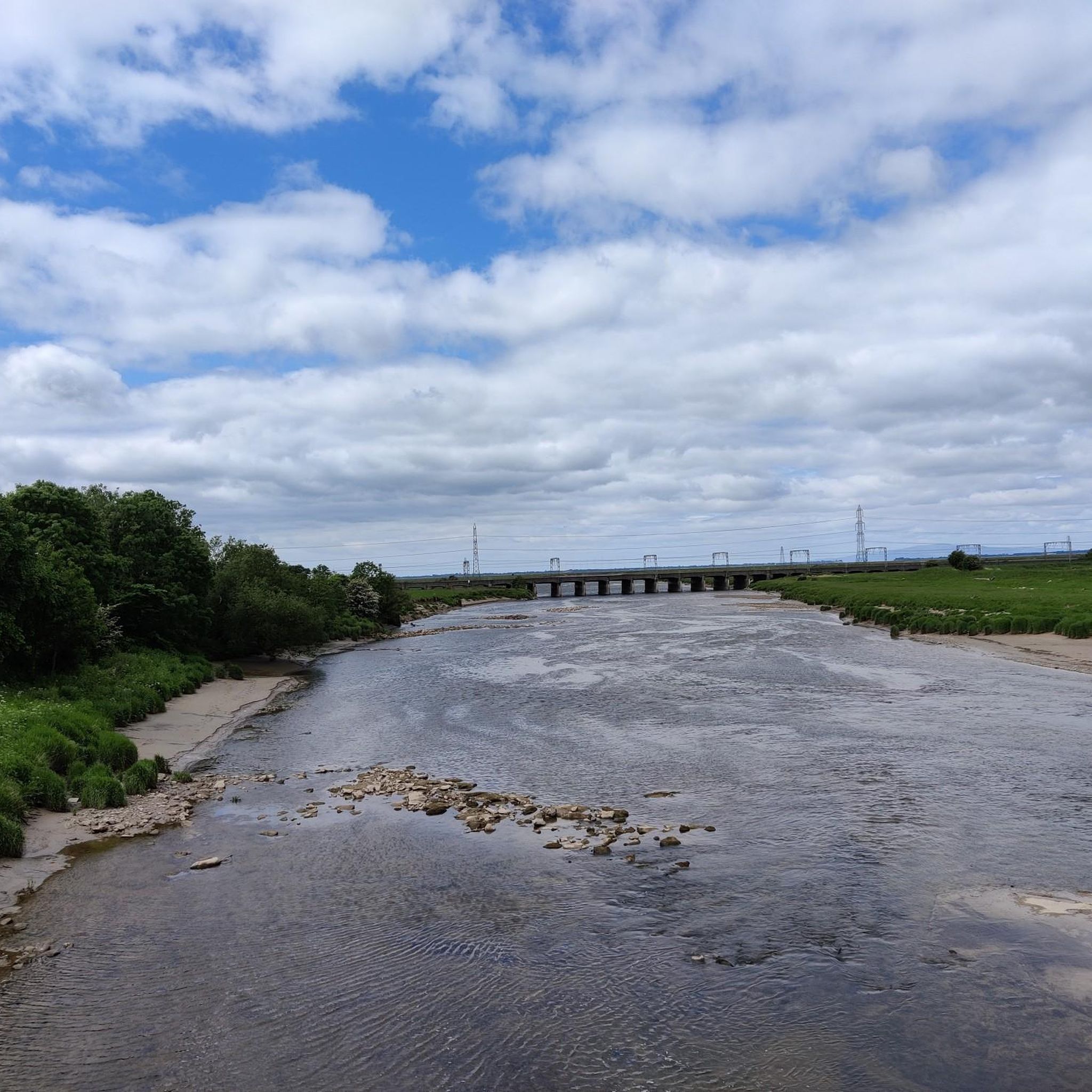
The Rickerby Park Memorial Bridge: The footbridge in Rickerby Park, Carlisle, was built in 1922 as part of a memorial project for the fallen of the First World War. It spans the River Eden and connects the city center with the park. The bridge is part of a larger ensemble with a cenotaph and other memorials, and was funded by the Carlisle Citizens League.
10
0

The shop offers a large selection of Scottish gifts, including fudge and whisky.
0
0
The Big Dance sculpture was created by artist Ray Lonsdale. It is the centerpiece of the Sculpture Garden at the Famous Blacksmiths Shop complex.
0
0
Frequently Asked Questions
What kind of terrain can I expect on hikes around Westlinton?
Hikes around Westlinton offer a diverse range of terrain. You'll find everything from gentle riverside paths along the Lyne Water to more challenging ascents in the Pentland Hills, including significant summits like Mount Maw and East Cairn Hill. Many routes also feature woodland sections and paths around tranquil reservoirs such as Baddinsgill and West Water.
Are there easy hiking options suitable for beginners or families?
Yes, Westlinton offers numerous easy and moderate trails suitable for beginners and families. For instance, the area has over 117 easy routes. While specific family-friendly routes aren't detailed in the provided data, the presence of reservoir loops and woodland paths suggests gentler options. The The Big Dance Sculpture – Gretna Green Anvil Monument loop from Gretna is an easy 3.8 km hike that could be suitable.
What are some challenging hikes in the Westlinton area?
For those seeking a challenge, the Pentland Hills offer more demanding routes. The region research mentions a challenging 8.1-mile (13.0 km) loop from Baddinsgill Reservoir that includes Mount Maw, The Mount, and East Cairn Hill. The Bus Stop Library Exchange – Sandysike Bunkhouse & Campsite loop from Stanwix Rural is also classified as a difficult 25.9 km trail.
What natural features or landmarks can I see while hiking?
The Westlinton area is rich in natural beauty. You can expect to see rolling hills, the prominent Pentland Hills, and tranquil reservoirs like Baddinsgill and West Water. The Lyne Water river valley offers picturesque riverside paths, including a 'teetering woodland path known as the Catwalk'. West Water Reservoir is also a significant overwintering site for up to 40,000 pink-footed geese.
Are there any historical sites or points of interest along the trails?
Yes, the area around Westlinton has a rich history reflected in its trails. You can walk along ancient drove roads, historically used for moving livestock, and even a section of a Roman road built around 80 AD by Agricola's soldiers. Additionally, some routes pass by the 'Siller Holes,' a hillside with ancient lead workings.
Can I bring my dog on hikes around Westlinton?
While specific dog policies for individual trails are not provided, the general nature of outdoor hiking in the Scottish Borders often allows for dogs, especially on lead. It's always recommended to keep dogs under control, particularly in areas with livestock or ground-nesting birds, and to follow the Scottish Outdoor Access Code.
Are there many circular hiking routes available?
Yes, the Westlinton area features several circular routes. The region research highlights options like the 'Mount Maw, The Mount & East Cairn Hill loop from Baddinsgill Reservoir' and the 'Baddinsgill Reservoir – Catwalk Den Wood loop from West Linton'. Many of the routes listed in the guide, such as the Rockcliffe Village loop from Rockcliffe, are also circular.
How can I get to the hiking trails using public transport?
Information on specific public transport routes directly to trailheads is not detailed in the provided data. However, West Linton is a village in the Scottish Borders, and local bus services typically connect it to larger towns. It's advisable to check local bus schedules for connections to West Linton and then plan your hike from there, or consider routes accessible from the village itself.
Is parking available near the trailheads?
Yes, parking is generally available at popular starting points for hikes. For example, Baddinsgill Reservoir is mentioned as a popular starting point for various loops, implying parking facilities are present there. For specific routes, it's always good practice to check the route details or local signage for designated parking areas.
When is the best time of year to go hiking in Westlinton?
The best time for hiking in Westlinton largely depends on your preferences. Spring and autumn offer pleasant temperatures and beautiful scenery, with autumn showcasing vibrant foliage. Summer provides longer daylight hours, while winter can offer challenging but rewarding experiences, especially in the higher Pentland Hills, though appropriate gear and caution are essential due to potentially harsh weather conditions.
What historical attractions are near Westlinton's hiking routes?
Beyond the ancient drove roads and Roman road sections, the wider area around Westlinton offers several historical attractions. These include St Michael's Church, Burgh by Sands, Carlisle Cathedral, and Carlisle Castle. While not directly on every trail, they are notable points of interest in the region.
What do other hikers enjoy the most about hiking in Westlinton?
The area is highly rated by the komoot community, with an average score of 4.1 stars from over 190 reviews. Hikers often praise the diverse landscapes, which include rolling hills, river valleys, and woodlands, offering a variety of experiences for different ability levels. The presence of both tranquil reservoir walks and challenging hill climbs contributes to its appeal.
Most popular attractions around Westlinton

Get inspired with the komoot mobile app


Explore more
Browse the best Hikes in other regions.
