The best running trails around Campsie
4.7
(7)
2,450
runners
18
runs
Jogging around Campsie offers a robust experience across a landscape characterized by hilly terrain, open moorland, and sheltered forested sections. The region features significant elevation changes, with routes often passing through deep gorges and alongside rivers. Many trails involve natural, uneven surfaces, including boggy sections, providing a challenging and untamed feel for runners.
Best jogging routes around Campsie
- The most popular jogging route is Lecket Hill – Crichton's Cairn loop from Muckle Alicompen, a 7.4 miles (11.97 km) trail that takes 1 hour 40 minutes to complete. This difficult route features significant elevation gain and panoramic views from the hills.
- Another top favourite among local runners is Cort-ma-Law Summit – Crichton's Cairn loop from Muckle Alicompen, a difficult 5.4 miles (8.67 km) path. This running route ascends to the summit, offering expansive vistas across the surrounding Fells.
- Local runners also love the Mount Dam – Whitefield Pond loop from Lennoxtown, a 6.9 miles (11.17 km) trail leading through varied terrain including forested areas, often completed in about 1 hour 9 minutes.
- Jogging around Campsie is defined by its hilly terrain, forested sections, and open moorland. The network offers options for easy, moderate, and difficult running routes, catering to various fitness levels.
- The routes in Campsie are highly rated by the komoot community with an average score of 4.7 stars from over 6 reviews. More than 2,500 runners have used komoot to explore Campsie's varied terrain.
Last updated: October 9, 2026
88
runners
Hard run. Very good fitness required. Mostly paved surfaces. Suitable for all skill levels.
28
runners
18.7km
02:41
790m
790m
Hard run. Very good fitness required. Mostly paved surfaces. Suitable for all skill levels.

16
runners
Moderate run. Good fitness required. Mostly paved surfaces. Suitable for all skill levels.
10
runners
Hard run. Very good fitness required. Mostly paved surfaces. Suitable for all skill levels.
11
runners
10.5km
01:10
170m
170m
Moderate run. Good fitness required. Mostly paved surfaces. Suitable for all skill levels.
Get access to more routes and recommendations from other explorers.
Already have an account?
Our route recommendations are based on thousands of hikes, rides, and runs completed by other people on komoot.
Start today with a free account
Your next adventure awaits.
Popular around Campsie


Tips from the Community

The Cort-ma-Law Summit is located in the Campsie Fells north of Glasgow. The ascent leads through open, partly boggy moorland and rewards with a wide panoramic view over the rolling hills and valleys of the surrounding area. In clear weather, the view extends far beyond the Central Lowlands and up to the distinctive mountains of the Highlands.
0
0

Super cafe stop, all day breakfasts, snacks and coffee & cakes!
0
0

The ruined remains of Lennox Castle. Originally built in ~1840 as a private property it was sold to The Glasgow Corporation (predecessor to the City Council) in 1927 and turned into a hospital for those with learning difficulties. In the 1940's-60's it also operated as a maternity home, and was the birth place of singer Lulu. It closed in 2002 and unfortunately was subject to a fire in 2008 which left it in its current state.
1
0

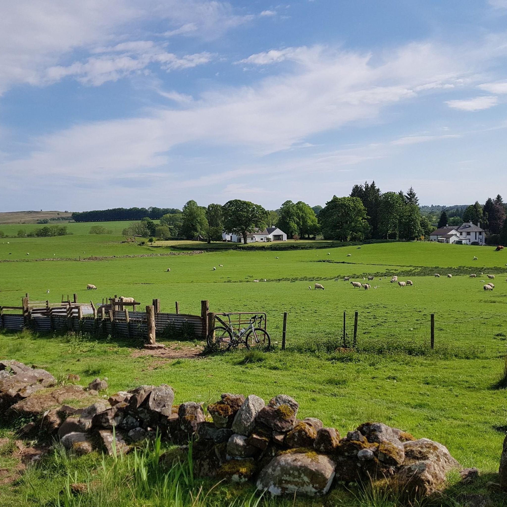
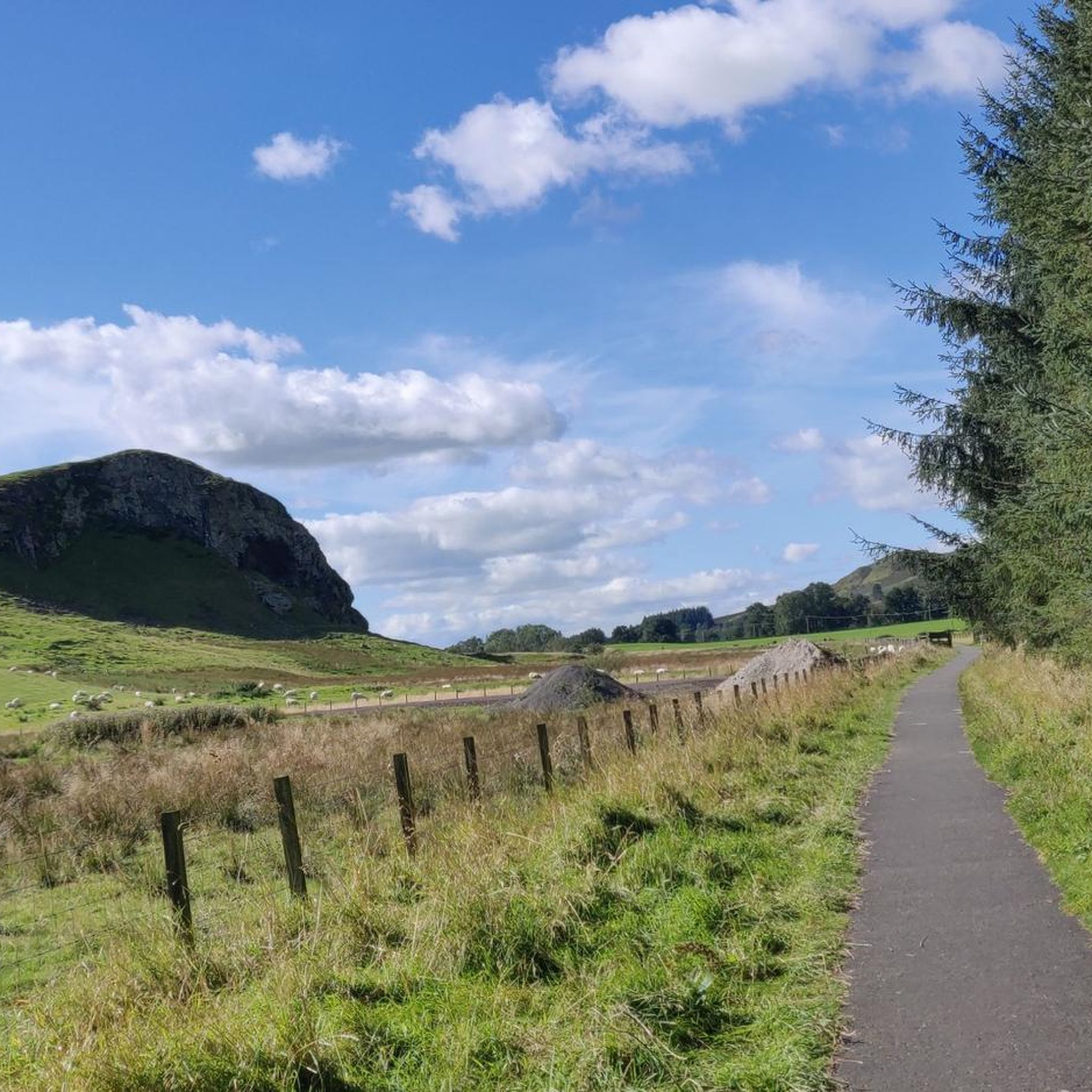
A great stop to admire the sheep and cows along the way
0
0

Unfortunately everything is fenced off, walled up or otherwise blocked off. But not bad for a walk. Unfortunately, it seems that a bunch of unreasonable people throw their rubbish in the forest there. From up here, go down to a mountain bike trail.
0
0

There must be some sort of metal below ground as my two compasses were off!
0
0

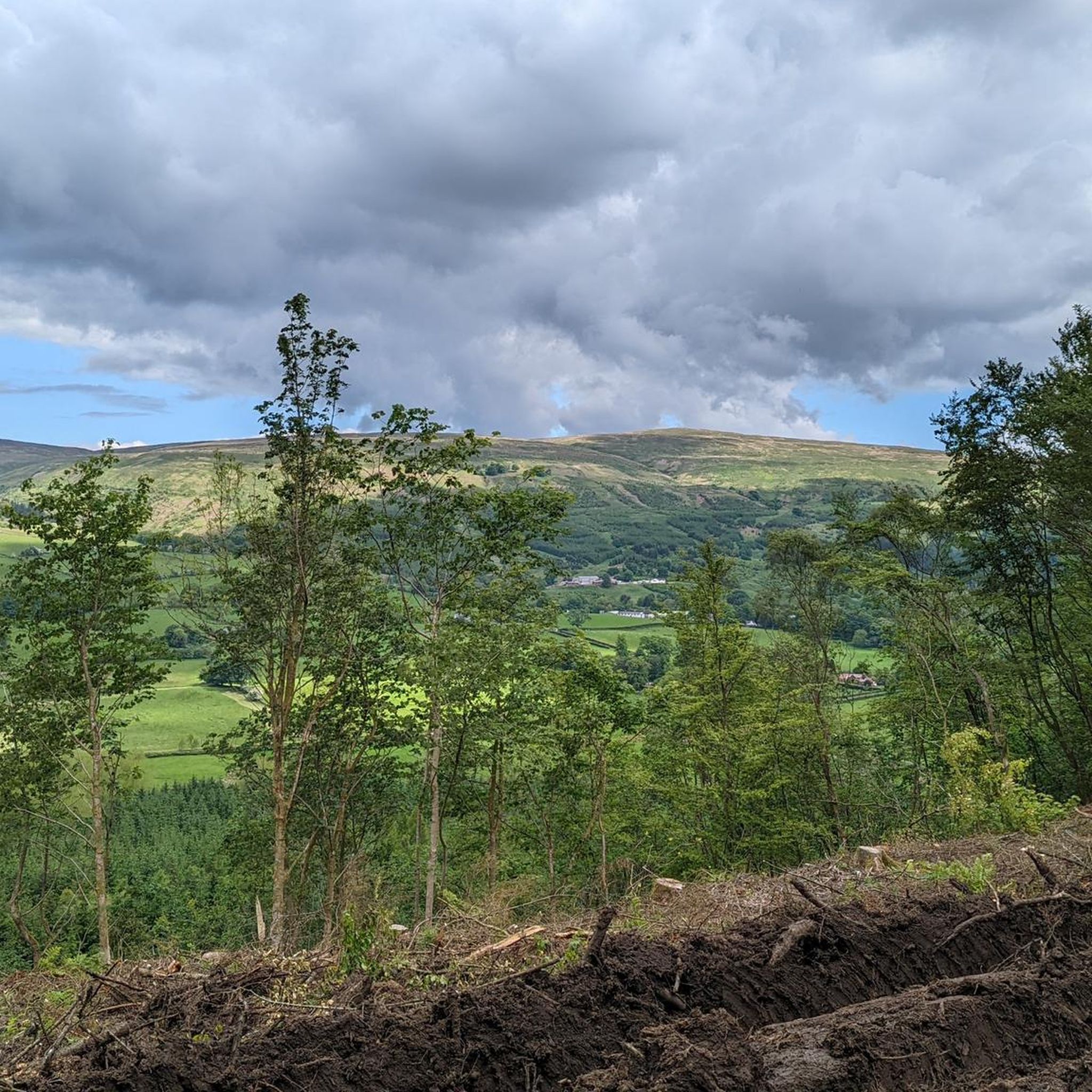
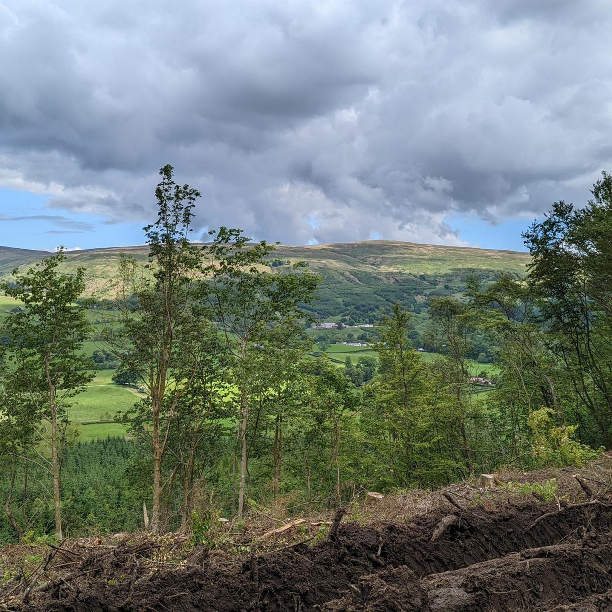
Did this in descent E to W. Top/start looks unpromising due to waste wood from recent (2023) forestry work but path along fence posts (some marked with white tape) is OK and can be ridden in parts. Cross river where everyone else does (follow path to crossing point). Short section (200m?) of very boggy gap in forest then onto good track going right (NNW).
0
0

You'll need your brakes for the descent
0
0
Frequently Asked Questions
How many running routes are available in the Campsie Fells area?
The Campsie Fells region offers a wide selection of trails for runners, with over 19 routes available on komoot. These range from easy jogs to more difficult and challenging runs, catering to various fitness levels.
What is the typical terrain like for jogging in the Campsie Fells?
Jogging in the Campsie Fells involves a diverse and often challenging terrain. You can expect hilly sections with significant ascents and descents, forested paths, and open moorland. Many routes feature natural, uneven surfaces, including boggy sections, especially near rivers and gorges, so waterproof footwear is highly recommended.
Are there any easy or beginner-friendly running routes in Campsie?
While many routes in the Campsie Fells are moderate to difficult, there are options for easier jogs. The region offers at least one designated easy running route, allowing beginners to enjoy the landscape without overly strenuous climbs. Always check the route details on komoot for specific difficulty ratings.
Can I find routes with scenic views in the Campsie Fells?
Absolutely! The Campsie Fells are renowned for their scenic beauty. From higher elevations, such as Meikle Bin and Cort-ma-Law Summit, you can enjoy panoramic views across the Fells and surrounding areas on clear days. Routes like the Cort-ma-Law Summit – Crichton's Cairn loop offer expansive vistas.
Are there any circular running routes in the Campsie Fells?
Yes, many of the running trails in the Campsie Fells are designed as circular routes, allowing you to start and finish at the same point. Examples include the popular Lecket Hill – Crichton's Cairn loop and the Mount Dam – Whitefield Pond loop.
What kind of landmarks or attractions can I see near the running trails?
While running, you might encounter various points of interest. The area is rich in historical sites and natural monuments. You could explore places like Mugdock Castle, the intriguing Devil's Pulpit (Finnich Glen), or the unique The Whangie Rock Formation. The Cort-ma-Law Summit also offers a significant viewpoint.
Is the Campsie Fells area suitable for dog-friendly running?
The natural and open landscape of the Campsie Fells can be a great place to run with your dog. However, always be mindful of livestock, especially in open moorland areas, and keep your dog under control. Some routes pass through forested sections where dogs might need to be on a lead. Check local signage for specific rules.
What do other runners say about the trails in Campsie?
The running trails in Campsie are highly regarded by the komoot community, holding an impressive average rating of 4.7 stars from over 6 reviews. Runners frequently praise the challenging terrain, the sense of remoteness, and the rewarding panoramic views from the higher peaks.
Are there any particularly challenging running routes for experienced runners?
Yes, the Campsie Fells are well-suited for experienced runners seeking a challenge. Many routes feature significant elevation gains and difficult terrain. For instance, the Cort Ma Law – Lecket Hill loop from Lennoxtown is a difficult 18.8 km trail with substantial climbing, offering a rigorous workout.
When is the best time of year to go jogging in the Campsie Fells?
The Campsie Fells can be enjoyed year-round, but the best time often depends on your preference for conditions. Spring and autumn offer pleasant temperatures and beautiful scenery. During winter, trails can become very muddy and boggy, and higher elevations may experience snow and ice, requiring appropriate gear and caution. Summer can be lovely, but be prepared for potential midges.
Is parking available near the running routes in Campsie?
Yes, parking is generally available at common starting points for many routes. For example, routes often begin from locations like Muckle Alicompen or Lennoxtown, which typically have parking facilities. It's always advisable to check specific route descriptions on komoot for detailed parking information before your run.
Can I reach the Campsie Fells running trails using public transport?
While some starting points for trails, such as Lennoxtown, may be accessible by public transport, options can be limited for reaching more remote trailheads directly. It's recommended to research local bus services to nearby villages and plan your route accordingly, or consider combining public transport with a short walk or taxi ride to your desired starting point.
Most popular routes around Campsie
Most popular attractions around Campsie

Get inspired with the komoot mobile app


Explore more
Browse the best Running Trails & Routes in other regions.
