The best walks and hikes around Whitfield
4.3
(190)
2,467
hikers
215
hikes
Hiking around Whitfield offers a variety of trails primarily along coastal areas, rivermouths, and local nature reserves. The landscape is characterized by gentle elevations, with routes often featuring beaches, esplanades, and historical points of interest like castles. The region provides accessible paths suitable for various activity levels, focusing on scenic views of the water and natural park environments.
Best hiking trails around Whitfield
- The most popular hiking route is Grassy Beach and Castle Green via The Esplanade, a 6.5…
Last updated: October 11, 2026
5.0
(1)
31
hikers
10.5km
02:39
20m
20m
Moderate hike. Good fitness required. Easily-accessible paths. Suitable for all skill levels.
5.0
(1)
3
hikers
3.94km
01:02
30m
30m
Easy hike. Great for any fitness level. Easily-accessible paths. Suitable for all skill levels.

5.0
(1)
92
hikers
Moderate hike. Good fitness required. Easily-accessible paths. Suitable for all skill levels.
66
hikers
Moderate hike. Good fitness required. Easily-accessible paths. Suitable for all skill levels.
3.0
(2)
43
hikers
13.4km
03:24
30m
30m
Moderate hike. Good fitness required. Easily-accessible paths. Suitable for all skill levels.
Get access to more routes and recommendations from other explorers.
Already have an account?
Our route recommendations are based on thousands of hikes, rides, and runs completed by other people on komoot.
Start today with a free account
Your next adventure awaits.



Tips from the Community

There is a stepped bank outside the castle, which is perfect for a picnic. Lovely walk near the centre of Dundee
0
0

Great infrastructure along this part of the coast. NCN 1
0
0

The area around the castle is a nice place to walk and when the castle is open, the museum is free to visit.
0
0
A pleasant beach newly redeveloped and provides a good place to walk along the coast so close to the City.
0
0

Castle entry is free. As mentioned a most excellent cycleway runs past the castle.
0
0
A really excellent combined asphalt cycle and walking route passes Broughty Ferry.
0
1
An excellent dedicated cycle/walking way, part of the National Cycle Routes, all along the Broughty Ferry waterfront.
0
0

Gigantic gameplay on the water, slides, obstacles, boats
0
0
Frequently Asked Questions
How many hiking trails are there in Whitfield?
Whitfield offers a wide selection of outdoor experiences, with over 240 hiking trails available. These routes cater to various preferences, from leisurely strolls to more challenging excursions.
Are there easy hiking trails suitable for beginners or families in Whitfield?
Yes, Whitfield is very accommodating for beginners and families, with over 120 easy routes. Many paths feature gentle elevations and are well-suited for a relaxed pace. A great option is the Trottick Mill Ponds Local Nature Reserve loop via Mains Castle, an easy 3.9 km trail that explores a local nature reserve and passes a historic castle.
What kind of scenery can I expect on hikes around Whitfield?
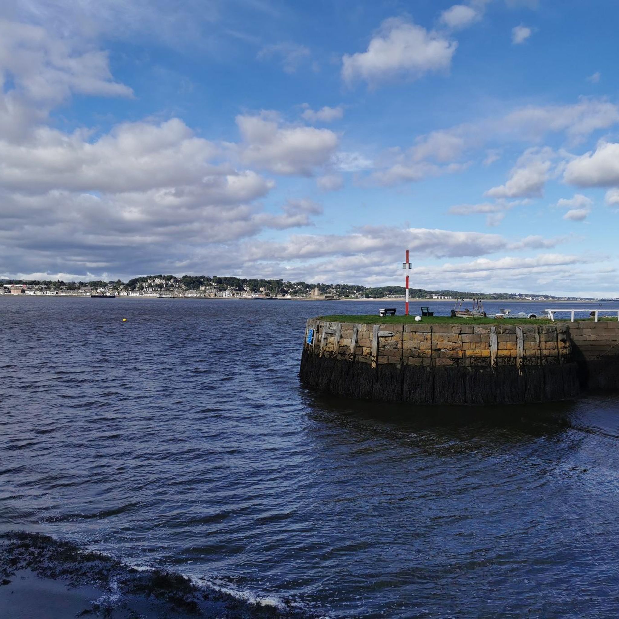
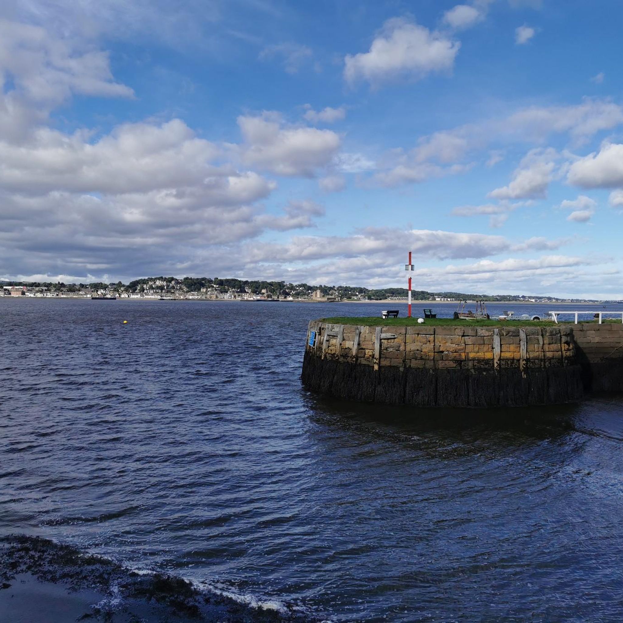
Hiking around Whitfield primarily features coastal landscapes, rivermouths, and local nature reserves. You'll often find yourself walking along beaches, esplanades, and enjoying scenic views of the water. Historical points of interest, such as castles, are also common along many routes.
Are there any circular walks in Whitfield?
Yes, many of the trails in Whitfield are designed as circular routes, allowing you to start and end at the same point without retracing your steps. For example, the Dighty Water Rivermouth – Monifieth Beach Park loop from Broughty Ferry is a popular 9.3 km circular trail that takes you through coastal areas and a beach park.
What do other hikers enjoy the most about hiking in Whitfield?
The hiking trails in Whitfield are highly regarded by the komoot community, holding an average rating of 4.3 stars from over 160 reviews. Hikers frequently praise the diverse coastal paths, the tranquility of the nature reserves, and the accessibility of routes that offer beautiful water views and historical landmarks.
Are there any historical landmarks or attractions to see along the trails?
Yes, Whitfield's trails often pass by interesting historical sites and natural attractions. You can explore areas near Trottick Mill Ponds Local Nature Reserve, or enjoy views of Broughty Castle. The region also features various viewpoints and bird hides, such as the Bird Hide Viewing Point at Invergowrie Bay.
Are Whitfield's hiking trails suitable for dogs?
Many of Whitfield's trails, particularly those along coastal paths and in nature reserves, are generally dog-friendly. However, it's always recommended to keep dogs on a lead, especially in nature reserve areas to protect wildlife, and to check specific route details for any restrictions before you go.
Are there any trails that offer views of lakes or reservoirs?
While Whitfield is known for its coastal and rivermouth trails, there are nearby attractions that feature lakes and reservoirs. You can find highlights like Clatto Reservoir and Monikie Reservoirs in the surrounding area, which offer different scenic experiences.
What is the best time of year for hiking in Whitfield?
Whitfield's coastal and nature reserve trails can be enjoyed year-round. Spring and summer offer milder weather and vibrant flora, while autumn provides beautiful colors. Winter hikes can be refreshing, especially along the coast, but always check local weather conditions as paths can be exposed.
Are there any longer, more challenging hikes in the Whitfield area?
While many trails feature gentle elevations, there are longer routes for those seeking more distance. The Grassy Beach and Castle Green via The Esplanade is a moderate 10.5 km trail offering extensive coastal views and historical points. Another option is the Grassy Beach loop from Broughty Ferry, which extends to 13.4 km.
Is public transport available to access hiking trails in Whitfield?
Given Whitfield's location within or near urban areas, many trailheads are often accessible via local bus services. It's advisable to check local transport schedules and routes to plan your journey to specific starting points for the trails.
Are there opportunities for wildlife spotting on Whitfield's walks?
Yes, particularly in the local nature reserves and along the rivermouths and coastal areas, there are good opportunities for wildlife spotting. Birdwatchers will appreciate areas like the Morton Lochs Bird Hide and the Bird Hide Viewing Point at Invergowrie Bay, where various bird species can be observed.
Most popular attractions around Whitfield

Get inspired with the komoot mobile app


Explore more
Browse the best Hikes in other regions.
