The best cycling routes in Upper Puntledge River Woodlands
4.3
(7)
139
riders
14
rides
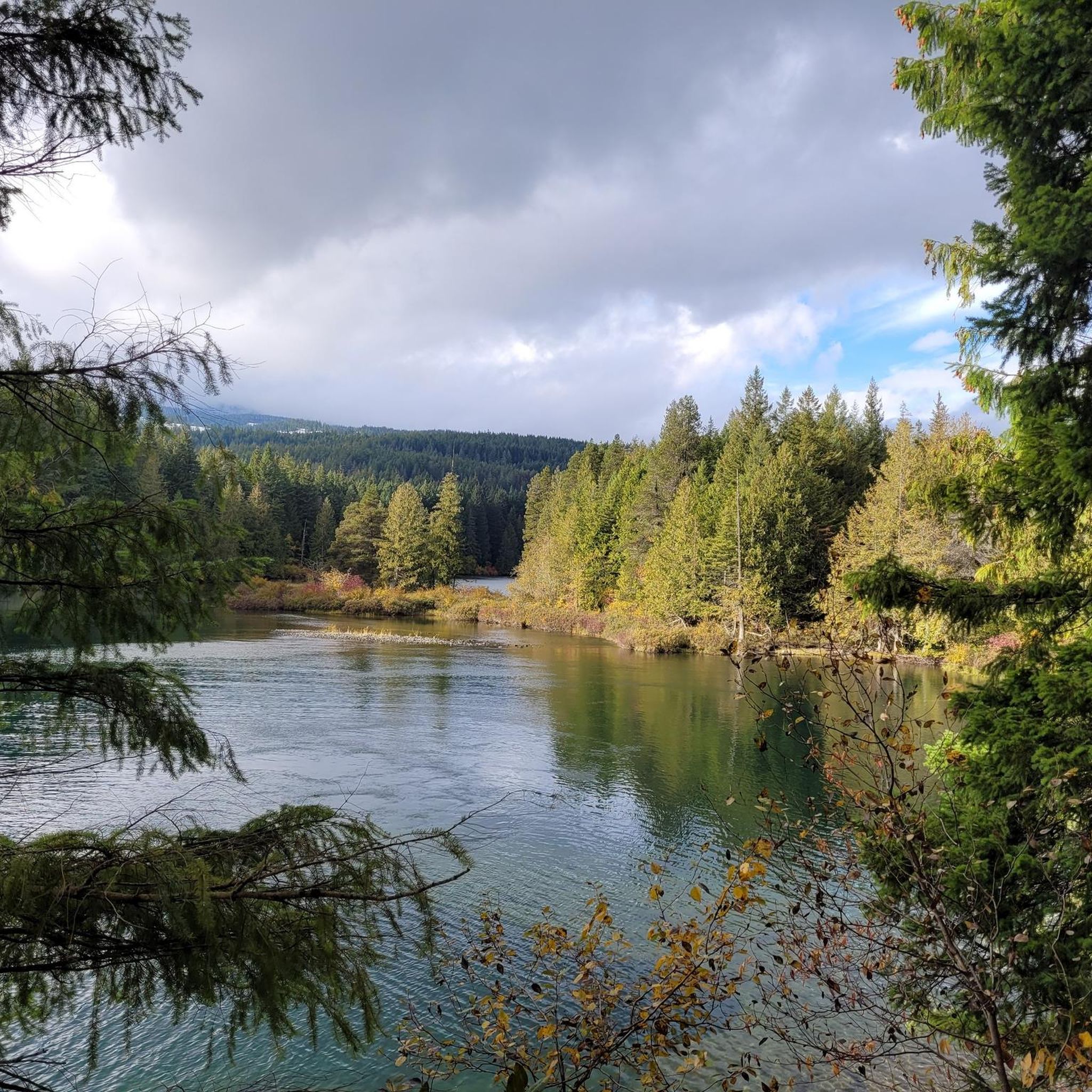
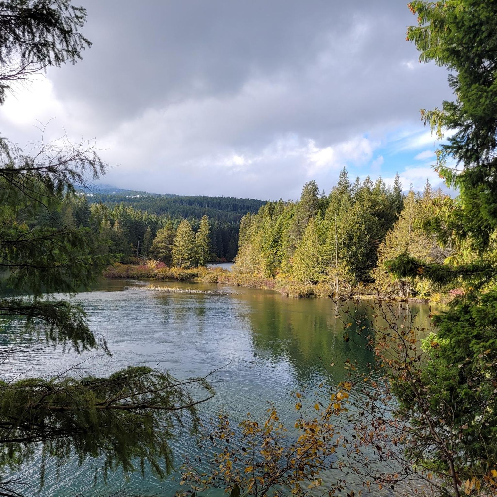
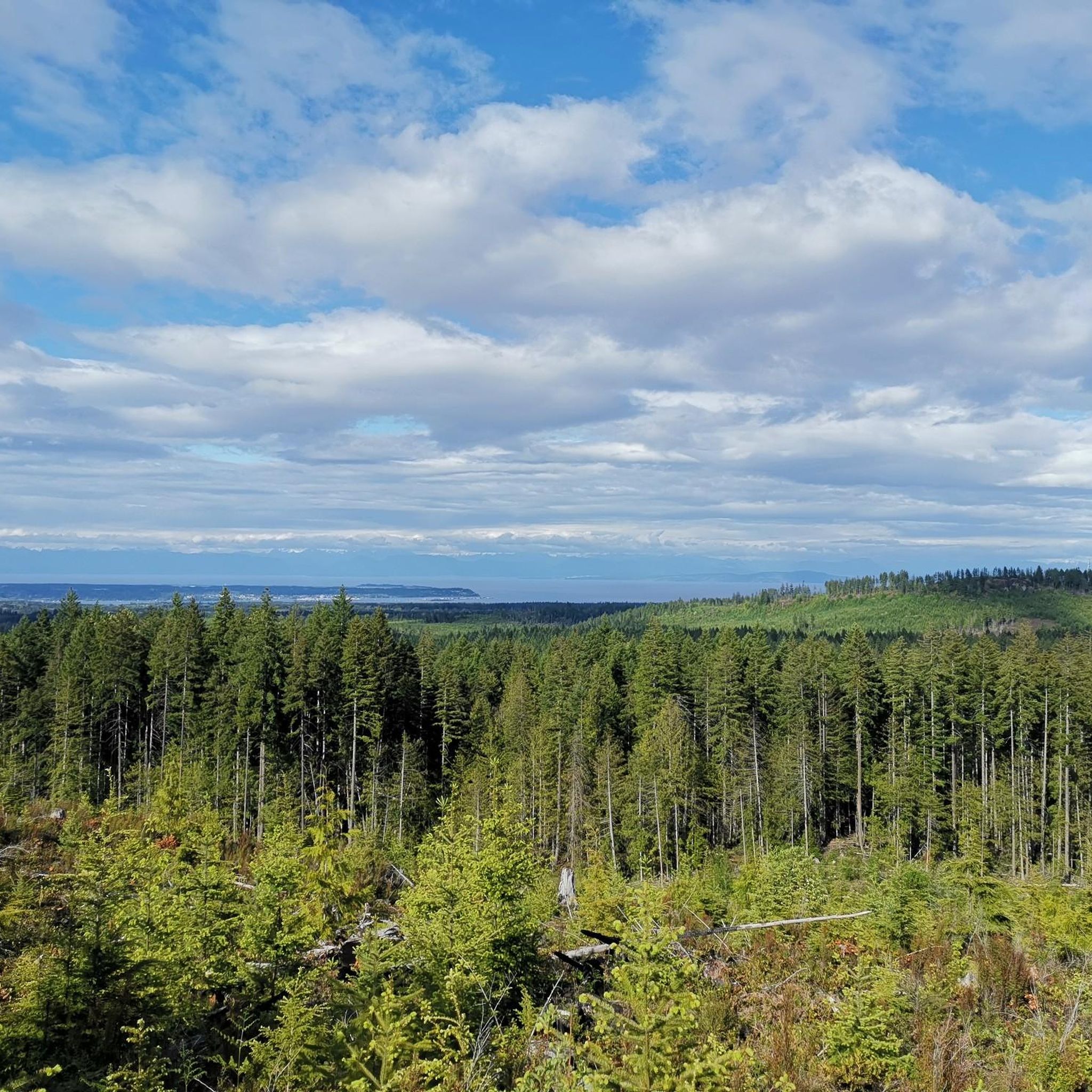
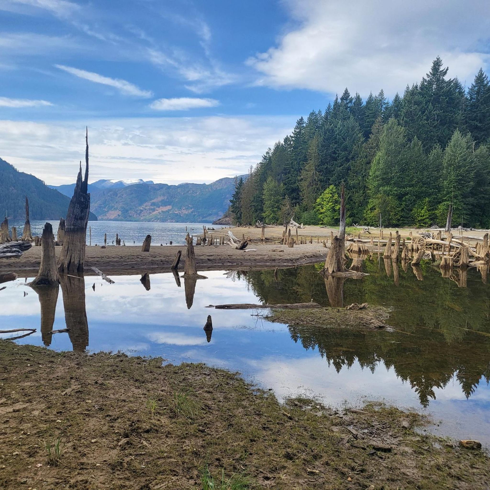
Touring cycling routes in Upper Puntledge River Woodlands traverse a landscape shaped by the Puntledge River, Comox Lake, and diverse forest environments. The area features a mix of second-growth forests with towering conifers and older trees, creating varied scenery for cyclists. Multi-use trails provide access to river views, forested paths, and unique ecological sites like the Puntledge Bog. The terrain generally offers smooth paths with few significant hills, making it suitable for a range of cycling experiences.
Best touring cycling…
Last updated: July 10, 2026
8
riders
25.8km
02:33
490m
490m
Hard bike ride. Very good fitness required. Mostly paved surfaces. Suitable for all skill levels.
2.0
(1)
5
riders
27.9km
01:45
210m
210m
Moderate bike ride. Good fitness required. Mostly paved surfaces. Suitable for all skill levels.

Sign up for free
7
riders
25.4km
02:13
230m
230m
Hard bike ride. Good fitness required. You may need to push your bike for some segments of this route.
4.0
(1)
6
riders
37.9km
02:17
180m
180m
Moderate bike ride. Good fitness required. Mostly paved surfaces. Suitable for all skill levels.
3
riders
52.4km
03:10
320m
320m
Moderate bike ride. Good fitness required. Mostly paved surfaces. Suitable for all skill levels.
Get access to more routes and recommendations from other explorers.
Sign up for free
Already have an account?
Our route recommendations are based on thousands of hikes, rides, and runs completed by other people on komoot.
Start today with a free account
Your next adventure awaits.
Login or Signup

Tips from the Community

There are a bunch of seaplanes and other small aircraft that are usually parked along the fence opposite the Riverway Path. You can check them out as you pass by.
0
0
This path takes you through Courtenay's urban area, partially sheltered on either side by strips of greenery, between downtown and the riverfront. You share the path with cyclists, but the trail is paved and divided to ease multi-use traffic.
0
0
Totem poles by the K’ómoks First Nation have been installed in Courtenay over the past decade to bring greater recognition to indigenous culture. This one overlooks the salt marsh and the banks of the Courtenay River.
0
0

Comox Harbour is a sheltered inlet on the east coast of Vancouver Island, opening into the Strait of Georgia. The water is generally calm, shaped by tides that expose mudflats and sandbars along the shoreline. Backed by distant mountains and coastal communities, it forms a wide, open marine landscape that changes noticeably throughout the day.
0
0
Royston Seaside Trail follows the shoreline of Comox Harbour, and is a flat, gravel path between the water and a narrow strip of coastal vegetation. The trail is short, with driftwood, tidal flats, and small beaches lining the edge of the harbour. With constant ocean views and minimal elevation change, it's a great route for a quick scenic stroll along the waterfront.
0
0

Davis Lake Main is an old, wide gravel logging road, now used for recreation. It is usually smooth but after heavy rain it can become rutted, and muddy. It takes hikers and bikers through forests of Douglas fir and western hemlock, and past Perseverance Creek and China Pools.
0
0
Cumberland Community Forest stretches more than 500 acres, and is mostly second-growth coastal forest with a web of well-maintained trails. These trails are open to hiking, mountain biking, trail running.
0
0
The China Bowls are created by Perseverance Creek, which flows with cold and clear water, smoothing stone ledges into deep basins that glow turquoise when the sun hits them. The pools are named after the nearby historic Chinatown site, and are surrounded by ferns, cedars, and Douglas fir.
0
0
Frequently Asked Questions
How many touring cycling routes are available in Upper Puntledge River Woodlands?
There are 16 touring cycling routes in the Upper Puntledge River Woodlands, offering a range of experiences from leisurely rides to more challenging adventures. You'll find a good mix of easy, moderate, and difficult trails to explore.
What kind of terrain can I expect on the touring cycling routes in this area?
The touring cycling routes in Upper Puntledge River Woodlands traverse diverse landscapes, including riverine paths, second-growth forests with towering conifers, and areas with older trees covered in thick green moss, creating a rainforest-like atmosphere. Many trails are multi-use and generally smooth with few significant hills, making them accessible for various skill levels.
Are there any family-friendly touring cycling routes?
Yes, the area is well-suited for families. Many trails are well-maintained and generally smooth with few hills, making them enjoyable for a wide range of riders, including children and seniors. The 18 km loop around the Puntledge River, for instance, is a popular option known for its accessibility.
What are some scenic highlights or landmarks I can see while cycling?
Cyclists can enjoy beautiful river views along the Puntledge River, scenic vistas of Comox Lake, and unique ecological sites like the Puntledge Bog, accessible via a winding boardwalk. Nymph Falls on the Puntledge River is another popular spot, offering opportunities to observe salmon spawning in season. The trails also wind through impressive forest landscapes with tall trees and vibrant understories.
Are there any loop trails for touring cyclists?
Yes, the Upper Puntledge River Woodlands features several loop trails. A popular option is an 18 km loop around the Puntledge River, which is generally smooth and suitable for various riders. Another well-regarded loop is the Puntledge River loop from Courtenay, which leads through forested areas alongside the river.
What is the best time of year to go touring cycling in Upper Puntledge River Woodlands?
The area is enjoyable for cycling through much of the year. Spring brings vibrant wildflowers and lush greenery, while summer offers warm, pleasant conditions. Autumn provides beautiful fall foliage. The well-maintained trails generally remain accessible, though conditions can vary with weather, especially in winter.
Where can I park my car when visiting the touring cycling routes?
The Comox Lake Dam Picnic Area is a convenient starting point for many trails and provides ample parking facilities. This area also offers picnic facilities and information, making it a good base for your cycling adventure.
Are dogs allowed on the touring cycling trails?
Many multi-use trails in the Puntledge River Recreation Area are dog-friendly. However, specific leash rules may apply, particularly in designated parks like Nymph Falls Regional Park. It's always best to check local signage or park regulations for the specific trail you plan to ride to ensure compliance.
What do other touring cyclists enjoy most about cycling in Upper Puntledge River Woodlands?
The area is highly rated by the komoot community, with an average score of 4.8 stars from 6 reviews. Reviewers often praise the diverse forest landscapes, the beautiful river views, and the well-maintained multi-use trails that cater to various skill levels, making for an enjoyable and accessible cycling experience.
Are there any routes that connect to other parks or trail systems?
Yes, the trail system in the Upper Puntledge River Woodlands connects with Nymph Falls Regional Park, providing even more exploration opportunities. Many tours combine the exploration of the Puntledge River recreation area and Nymph Falls Regional Park, offering fun, fast trails through mature forests.
Are there any long-distance touring cycling routes in the area?
While many routes are designed for day trips, some offer longer distances. For example, the One Spot Trailhead – Courtenay Airpark loop from Courtenay covers over 52 kilometers, providing a more extended touring experience through varied scenery.
Are there any cafes or places to stop for refreshments near the cycling routes?
While the immediate trailheads are primarily natural areas, the nearby towns of Courtenay and Cumberland offer various cafes, pubs, and accommodation options. Routes like the Ace Brewing Company – Courtenay Airpark loop from Cumberland specifically connect to local points of interest, including potential refreshment stops.
Most popular routes in Upper Puntledge River Woodlands

Get inspired with the komoot mobile app


Explore more
Browse the best Cycling routes in other regions.
