The best road cycling routes in Upper Puntledge River Woodlands
5.0
(3)
154
riders
5
rides
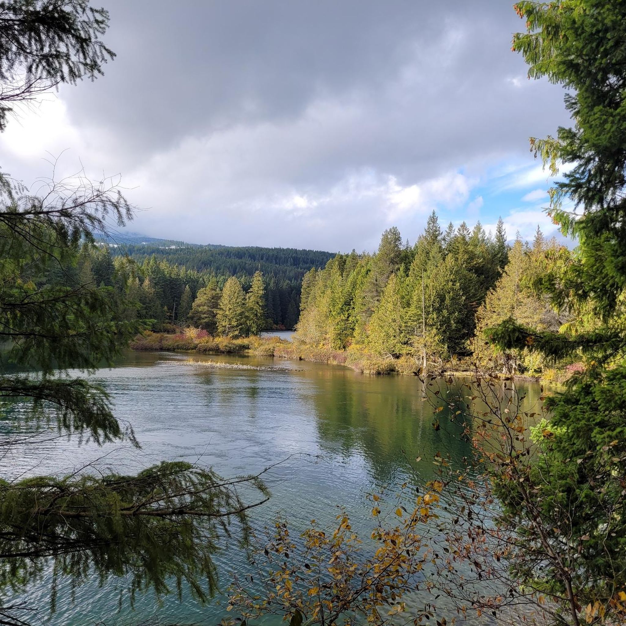
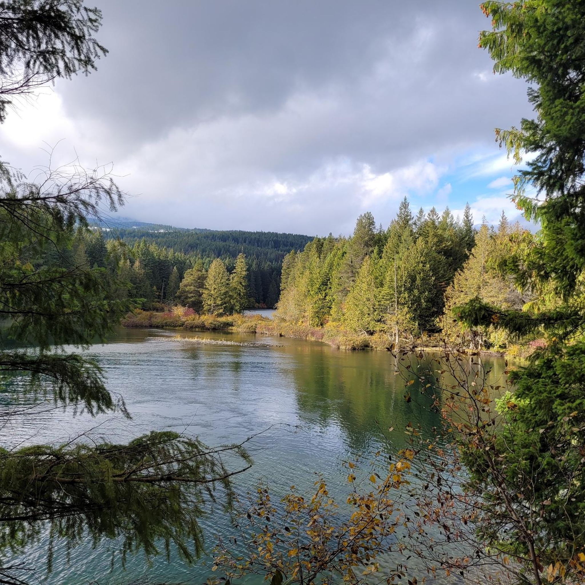
Road cycling routes in Upper Puntledge River Woodlands traverse a landscape characterized by the Puntledge River, diverse forest types, and connections to natural attractions. The area features multi-use trails and surrounding roads suitable for cycling, ranging from well-paved surfaces to routes with elevation changes. Notable features include the Comox Lake Dam and Reservoir, Nymph Falls Regional Park, and unique bog ecosystems. The terrain offers varied experiences for road cyclists.
Best road cycling routes in Upper Puntledge River Woodlands
- The most…
Last updated: July 10, 2026
17
riders
51.7km
02:30
430m
430m
Moderate road ride. Good fitness required. Some segments of this route may be unpaved and difficult to ride.
5
riders
25.2km
01:10
240m
240m
Moderate road ride. Great for any fitness level. Some segments of this route may be unpaved and difficult to ride.

Sign up for free
5.0
(2)
45
riders
76.9km
03:33
560m
560m
Moderate road ride. Good fitness required. Some segments of this route may be unpaved and difficult to ride.
53
riders
Hard road ride. Very good fitness required. Some segments of this route may be unpaved and difficult to ride.
5.0
(1)
12
riders
16.3km
00:44
110m
110m
Easy road ride. Great for any fitness level. Mostly well-paved surfaces and easy to ride.
Our route recommendations are based on thousands of hikes, rides, and runs completed by other people on komoot.
Start today with a free account
Your next adventure awaits.
Login or Signup

Tips from the Community

There are a bunch of seaplanes and other small aircraft that are usually parked along the fence opposite the Riverway Path. You can check them out as you pass by.
0
0
This path takes you through Courtenay's urban area, partially sheltered on either side by strips of greenery, between downtown and the riverfront. You share the path with cyclists, but the trail is paved and divided to ease multi-use traffic.
0
0

Comox Harbour is a sheltered inlet on the east coast of Vancouver Island, opening into the Strait of Georgia. The water is generally calm, shaped by tides that expose mudflats and sandbars along the shoreline. Backed by distant mountains and coastal communities, it forms a wide, open marine landscape that changes noticeably throughout the day.
0
0
Royston Seaside Trail follows the shoreline of Comox Harbour, and is a flat, gravel path between the water and a narrow strip of coastal vegetation. The trail is short, with driftwood, tidal flats, and small beaches lining the edge of the harbour. With constant ocean views and minimal elevation change, it's a great route for a quick scenic stroll along the waterfront.
0
0

Rosewall Creek Provincial Park is a small day-use park with a short trail that runs through the forest along Rosewall Creek. Big-leaf maple and conifer stands provide pleasant shade, making this a good stop for a quiet nature walk or creekside break on Vancouver Island. There is roadside parking and pit toilets near the trailhead and picnic areas overlooking the water,
0
0

Lions Community Park is a neighborhood park with a parking lot, a playground, picnic tables, benches, a water fountain, and the Lighthouse Community Center. There is also access to the Lighthouse Country Regional Trail.
0
0
Cumberland Community Forest stretches more than 500 acres, and is mostly second-growth coastal forest with a web of well-maintained trails. These trails are open to hiking, mountain biking, trail running.
0
0

You can also grab a coffee and take it down to one of the picnic tables along Marine Drive. A great place to look across towards Comox Marina and Goosespit.
0
0
Frequently Asked Questions
How many road cycling routes are available in Upper Puntledge River Woodlands?
There are 5 road cycling routes documented in the Upper Puntledge River Woodlands, offering a range of experiences for cyclists.
What is the general terrain and elevation like for road cycling in this region?
The Upper Puntledge River Woodlands offers varied terrain. Routes can range from mostly well-paved surfaces to more challenging paths with significant elevation gains. For example, the Rosewall Creek Provincial Park – Qualicum Beach Heritage Forest loop from Courtenay features over 830 meters of elevation gain, while the Courtenay River loop from Courtenay has a more gentle 107 meters of ascent.
Are there any easy road cycling routes suitable for beginners or a relaxed ride?
Yes, for an easier ride, consider the Courtenay River loop from Courtenay. This route is 16.3 km long with only 107 meters of elevation gain, making it ideal for a more relaxed cycling experience.
What natural features or landmarks can I see while road cycling in the Upper Puntledge River Woodlands?
Road cycling routes in the area often provide views of the Puntledge River and diverse forest landscapes. You might also encounter connections to natural attractions like the Comox Lake Dam and Reservoir, which offers a picnic area and viewpoint, or Nymph Falls Regional Park, known for its scenic waterfalls. The unique Puntledge Bog, with its winding boardwalk and unusual plants, is another notable feature in the broader area.
What is the best time of year for road cycling in Upper Puntledge River Woodlands?
The Upper Puntledge River Woodlands offers cycling opportunities across various seasons. While specific weather conditions can vary, spring through fall generally provides the most pleasant conditions for road cycling. The area is known for salmon runs in the fall, which can add to the scenic experience along the river.
Are there any long-distance or challenging road cycling routes available?
For a more challenging ride, the Rosewall Creek Provincial Park – Qualicum Beach Heritage Forest loop from Courtenay is a difficult route spanning over 124 km with more than 830 meters of elevation gain, offering a significant endurance test.
What do other road cyclists enjoy most about the routes here?
The road cycling routes in Upper Puntledge River Woodlands are highly rated by the komoot community, with an average score of 5.0 stars. Cyclists often praise the varied terrain and the scenic beauty of the Puntledge River and surrounding forest landscapes.
Are there any loop routes for road cycling in the area?
Yes, several routes are designed as loops, allowing you to start and finish in the same location. Examples include the Cumberland Community Forest – Courtenay Airpark loop from Cumberland and the Willemar Bluff – Robb Bluff loop from Cumberland.
Are there any road cycling routes that connect to nearby towns like Courtenay or Cumberland?
Absolutely. Many routes either start from or pass through nearby communities. For instance, the Cumberland Community Forest – Cumberland Village Bakery loop from Cumberland starts in Cumberland and connects to the village, while the Courtenay River loop from Courtenay begins in Courtenay.
What types of forest landscapes can be experienced along the road cycling routes?
The area features diverse forest types, including sections with large white pine trees and second-growth forests. Cyclists can experience lush, moss-covered ancient rainforests, characteristic of Vancouver Island's rich ecosystem, particularly along routes that traverse the woodlands.
Is there parking available for cyclists accessing the routes?
While specific parking details for each route vary, access points like the Comox Lake Dam and Reservoir often provide picnic areas and parking facilities, serving as convenient starting points for many trails in the broader region.
Most popular routes in Upper Puntledge River Woodlands

Get inspired with the komoot mobile app


Explore more
Browse the best Road cycling routes in other regions.
