The best road cycling routes in La Maluna
4.6
(39)
2,995
riders
33
rides
Road cycling routes in La Maluna are characterized by mountainous terrain and forested landscapes, situated in the region around Nice. The area features numerous challenging ascents and descents, typical of alpine environments. Cyclists can expect routes that navigate through significant elevation changes and offer views of the surrounding natural beauty. The topography is defined by a series of mountain passes and valleys, providing a diverse road cycling experience.
Best road cycling routes in La Maluna
- The most popular road cycling…
Last updated: July 13, 2026
3.0
(1)
180
riders
143km
07:32
2,620m
2,620m
Hard road ride. Very good fitness required. Mostly well-paved surfaces and easy to ride.
5.0
(1)
81
riders
48.4km
03:13
1,570m
1,570m
Hard road ride. Very good fitness required. Mostly well-paved surfaces and easy to ride.

Sign up for free
5.0
(1)
100
riders
91.2km
05:28
2,400m
2,390m
This difficult 56.6-mile road cycling loop in Mercantour National Park offers panoramic mountain views and challenging climbs.
5.0
(2)
192
riders
90.9km
06:06
3,010m
3,010m
Hard road ride. Very good fitness required. Mostly well-paved surfaces and easy to ride.
5.0
(4)
145
riders
69.9km
04:50
2,440m
2,440m
Hard road ride. Very good fitness required. Mostly well-paved surfaces and easy to ride.
Get access to more routes and recommendations from other explorers.
Sign up for free
Already have an account?
Our route recommendations are based on thousands of hikes, rides, and runs completed by other people on komoot.
Start today with a free account
Your next adventure awaits.
Login or Signup


Tips from the Community

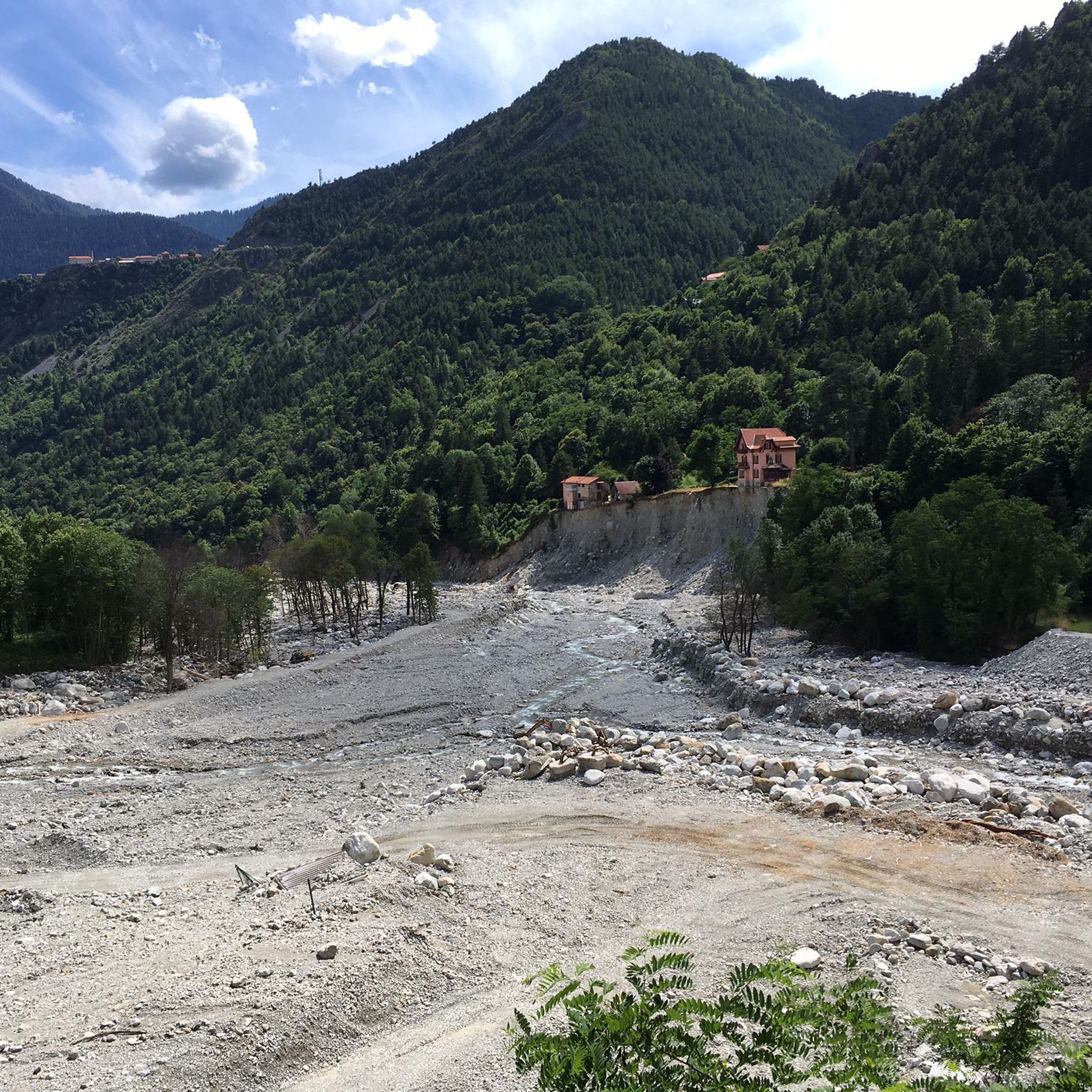
Crossing point to reach the ruins of Rocasparviera
0
0

The Col de la Couillole is a mountain pass in the Massif du Mercantour-Argentera of the French Alps, situated at an altitude of 1,678 m (5,505 ft) in the Alpes-Maritimes department, France. The road connection is open for six to seven months of the year, allowing travel between the Cians gorges in the west and the Tinée valley in the east.
0
0
The Col Saint-Martin Pass, or Col de la Colmiane, is a mountain pass in the Southern Alps located at an altitude of 1,500 meters in the Alpes-Maritimes department of France. It provides a year-round road link between the Tinée Valley to the west and the Vésubie Valley to the east.
0
0
The Col Saint-Martin Pass, or Col de la Colmiane, is a mountain pass in the Southern Alps located at an altitude of 1,500 meters in the Alpes-Maritimes department of France. It provides a year-round road link between the Tinée Valley to the west and the Vésubie Valley to the east.
0
0
Col Saint Martin (el. 1500 m.) is a high mountain pass in the Alps in the department of Alpes-Maritimes in France.[1] It is traversed by the D-2205 highway.[2] The place has been crossed at the Tour de France road cycling race in 1973, 1975 and 2020, as well as at multiple editions of the Paris-Nice.
0
0
Col Saint Martin (el. 1500 m.) is a high mountain pass in the Alps in the department of Alpes-Maritimes in France.[1] It is traversed by the D-2205 highway.[2] The place has been crossed at the Tour de France road cycling race in 1973, 1975 and 2020, as well as at multiple editions of the Paris-Nice.
0
0
The Col de Turini is a mountain pass located in the southern French Alps. It connects Lantosque, in the Vésubie Valley, to Sospel, in the Bévéra Valley. It also provides access to the Paillon Valley and the towns of Escarène and Lucéram. Rising to an altitude of 1,604 meters, it is located near the summit of the Authion Massif. The pass lies between the communes of Moulinet and La Bollène-Vésubie. A hamlet is located at the pass, where three main roads converge. A fourth road leads to Camp d'Argent, where a ski resort is located, and beyond to the summit of Authion (Pointe des Trois-Communes).
0
0

In July during the week there was almost no traffic, making it a completely relaxed drive up.
0
0
Frequently Asked Questions
How many road cycling routes are available in La Maluna?
La Maluna offers over 30 road cycling routes, characterized by mountainous terrain and significant elevation changes. Most routes are classified as difficult, providing a challenging experience for cyclists.
Are there road cycling routes suitable for beginners in La Maluna?
While most routes in La Maluna are classified as difficult, there are a few moderate options available. For instance, the Saint-Martin Pass – Col de la Colmiane loop from Saint-Martin-Vésubie is a moderate 18.7 km trail through mountain passes and forested areas, often completed in about 1 hour 15 minutes.
What is the typical difficulty level of road cycling routes in La Maluna?
Road cycling in La Maluna is primarily characterized by challenging routes. Out of 34 available tours, 30 are rated as difficult, and 4 as moderate. Cyclists can expect significant elevation gains and demanding ascents and descents, typical of an alpine environment near Nice.
Are there any long-distance road cycling routes in La Maluna?
Yes, La Maluna features several long-distance routes. The longest is the Col de Turini – Turini pass loop from Vieux Village, an 88.6-mile (142.6 km) trail with substantial elevation gain, typically taking over 7 hours to complete.
Can I find circular road cycling routes in La Maluna?
Many of the road cycling routes in La Maluna are designed as loops, allowing you to start and finish in the same location. Examples include the popular Col de Turini – Turini pass loop from Vieux Village and the Col de la Colmiane Loop.
What do other road cyclists enjoy most about road cycling in La Maluna?
The road cycling routes in La Maluna are highly rated by the komoot community, with an average score of 4.6 stars from over 30 reviews. Cyclists often praise the challenging climbs, diverse mountain passes, and the stunning forested landscapes typical of the region around Nice.
What is the best time of year for road biking in La Maluna?
Given its mountainous terrain and proximity to Nice, the spring and autumn months generally offer the most favorable conditions for road cycling in La Maluna, with milder temperatures. Summer can be warm, especially on exposed climbs, while winter may bring snow to higher passes, making some routes inaccessible.
Are there any family-friendly road cycling routes in La Maluna?
Due to the predominantly difficult and mountainous terrain with significant elevation changes, most road cycling routes in La Maluna are not typically considered family-friendly for young children or inexperienced cyclists. However, families with older, experienced cycling members might find the moderate routes more suitable.
Are there cafes or places to stop along the road cycling routes in La Maluna?
While specific amenities vary by route, the region around Nice and its mountain villages often have small cafes or eateries. It's advisable to check the specific route details on komoot or local maps for available services, especially on longer or more remote mountain pass routes, and to carry sufficient water and snacks.
What kind of scenery can I expect on road cycling routes in La Maluna?
Road cycling in La Maluna offers stunning scenery characterized by mountainous terrain, dense forested landscapes, and panoramic views from various mountain passes. You'll experience challenging climbs and descents through valleys, providing a diverse and visually rewarding ride.
What are some of the most challenging road cycling routes in La Maluna?
For experienced cyclists seeking a challenge, routes like the Col de Turini – Turini pass loop from Vieux Village (142.6 km with over 2,600m elevation gain) or the Col de la Colmiane – The start of Col Saint-Martin loop from Saint-Martin-Vésubie (90.9 km with over 3,000m elevation gain) offer significant tests of endurance and climbing ability.
Are there options for parking near the road cycling routes in La Maluna?
Parking availability will depend on the specific starting point of your chosen route. Many routes begin in or near villages in the region around Nice, where public parking may be available. It's recommended to check the starting location on komoot or a local map for parking facilities before your ride.
Most popular routes in La Maluna

Get inspired with the komoot mobile app


Explore more
Browse the best Road cycling routes in other regions.
