The best road cycling routes in Sonneneck
4.6
(948)
17,125
riders
256
rides
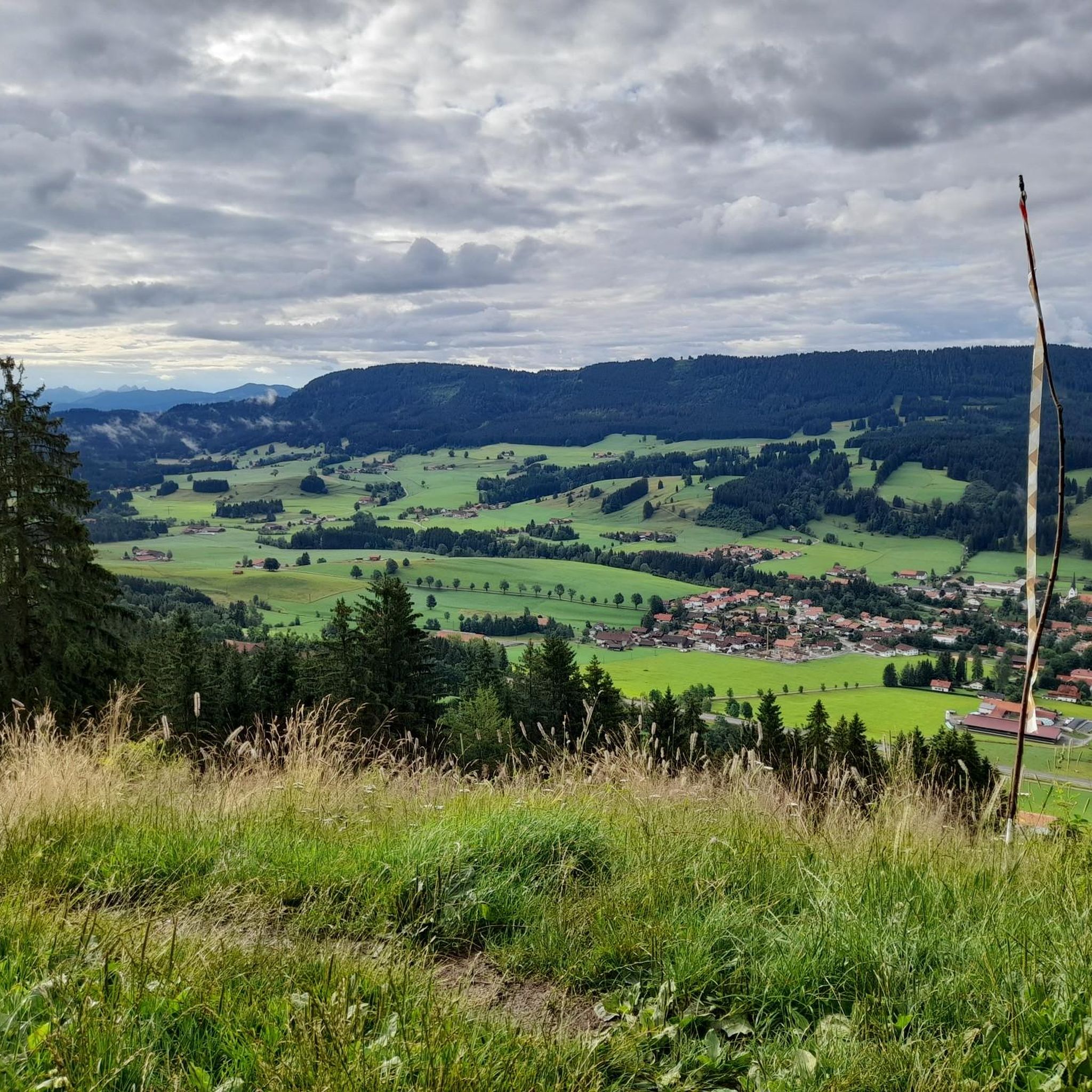
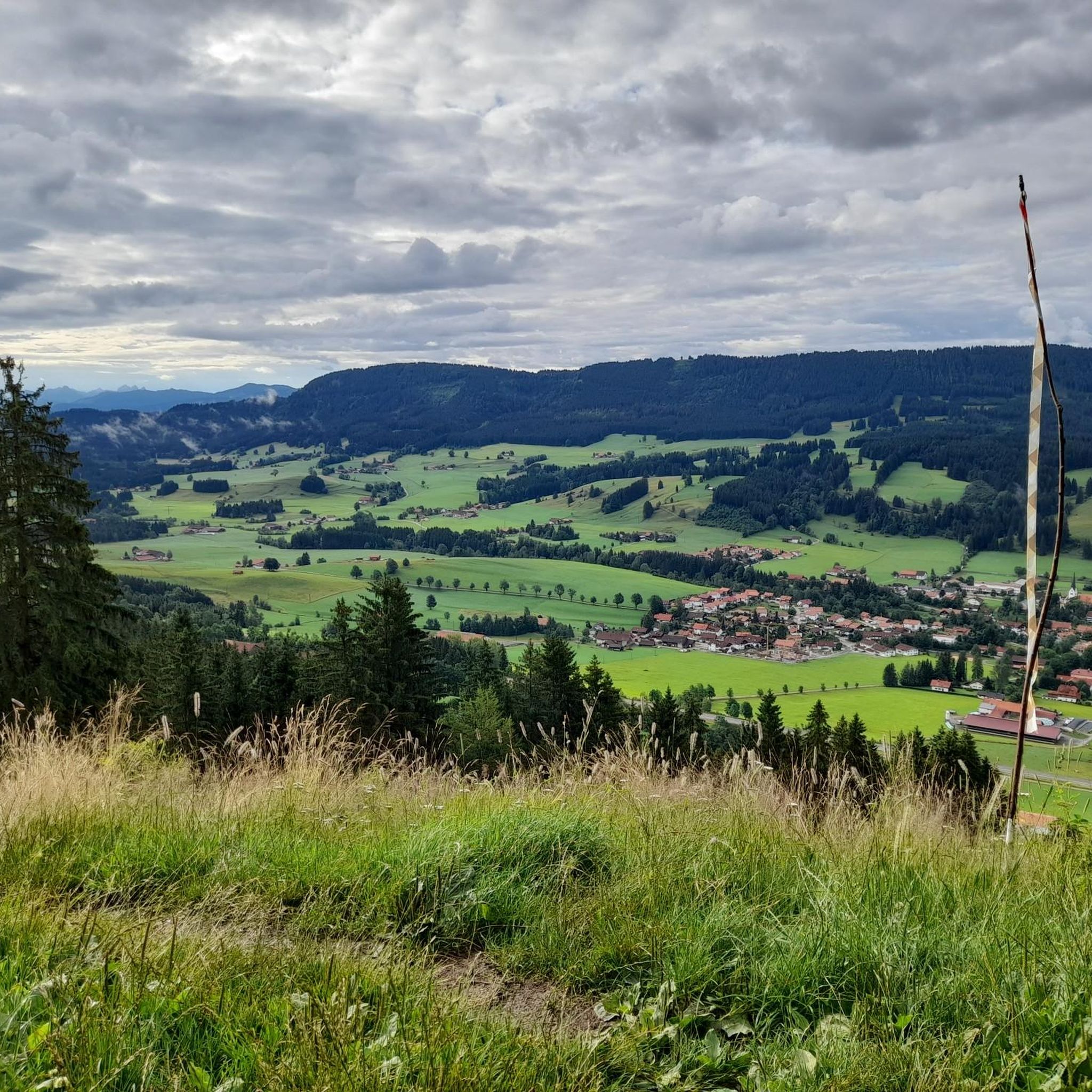
Road cycling in Sonneneck traverses the varied terrain of the Allgäu region, characterized by forests, green alpine meadows, and panoramic views of the Allgäu Alps. The area features diverse landscapes including rolling hills, valleys, and plateaus, with routes often running alongside clear mountain streams and shimmering lakes. Cyclists can expect well-paved surfaces and an extensive network of routes suitable for various skill levels. This region offers a range of road cycling experiences within a natural setting.
Best road cycling routes…
Last updated: July 12, 2026
4.8
(29)
395
riders
39.8km
01:52
540m
540m
Moderate road ride. Good fitness required. Mostly well-paved surfaces and easy to ride.
5.0
(4)
66
riders
46.0km
02:13
590m
590m
Moderate road ride. Good fitness required. Mostly well-paved surfaces and easy to ride.

Sign up for free
4.6
(5)
76
riders
44.3km
02:11
530m
530m
Moderate road ride. Good fitness required. Mostly well-paved surfaces and easy to ride.
4.1
(7)
22
riders
23.0km
01:13
160m
160m
Moderate road ride. Great for any fitness level. Some segments of this route may be unpaved and difficult to ride.
17
riders
47.3km
02:13
520m
520m
Moderate road ride. Good fitness required. Some segments of this route may be unpaved and difficult to ride.
Get access to more routes and recommendations from other explorers.
Sign up for free
Already have an account?
Our route recommendations are based on thousands of hikes, rides, and runs completed by other people on komoot.
Start today with a free account
Your next adventure awaits.
Login or Signup

Tips from the Community

Go in, it's worth it. Couldn't take photos before because of other visitors.
0
0

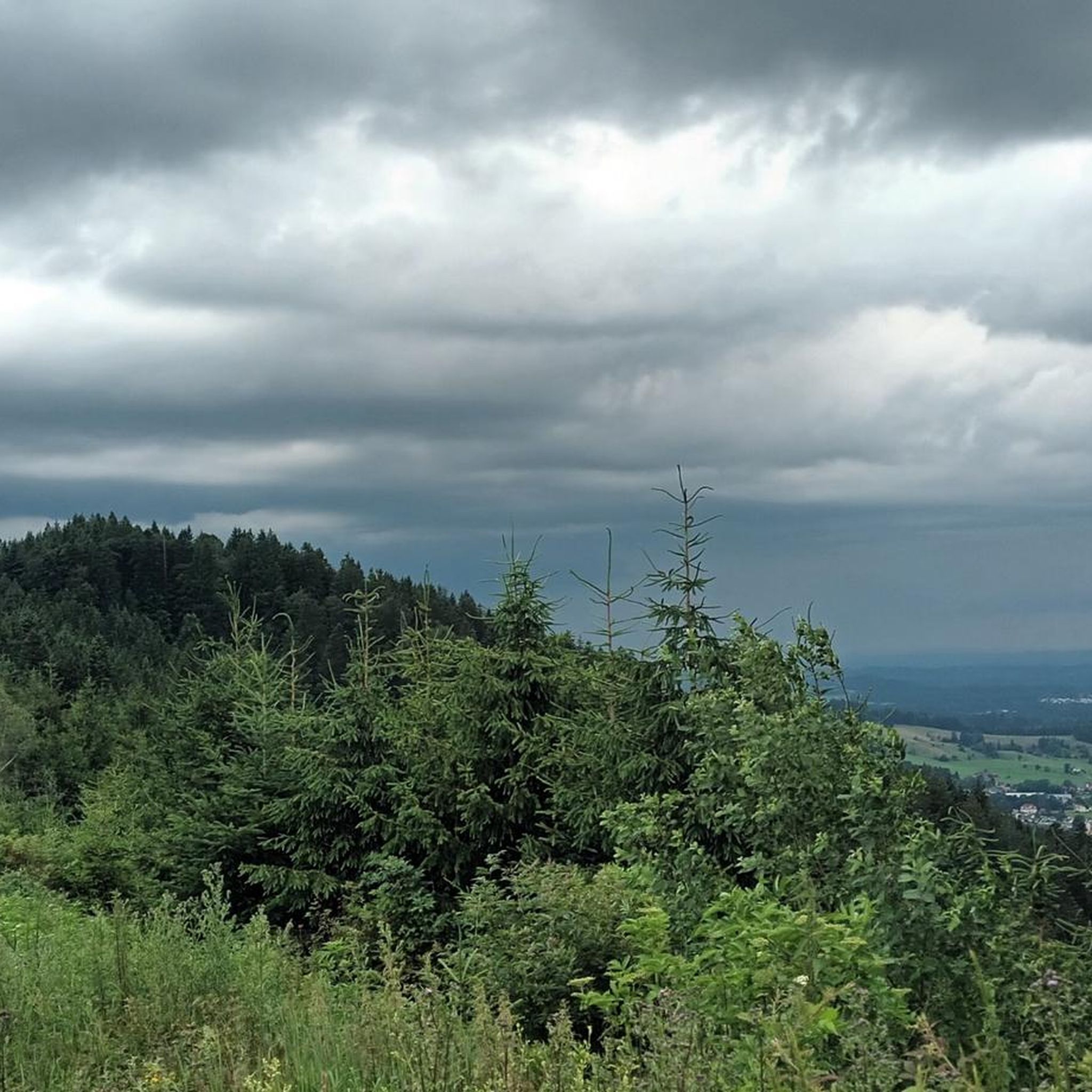
I wish you good weather, because you need it in the Allgäu. As you cycle toward Saiten, you'll come across a coveted bench.
0
0
I agree with Alois. I cycled on a Sunday so there was no truck traffic. On the other hand, I encountered a lot of cars at times; in Wegscheidel, I stopped because there was a whole line of cars coming. The route to Schmidsfelden was never really quiet. It's much more pleasant via Kreuzthal.
2
1
Beautiful and surprisingly quiet in both directions, with a lovely beer garden at the Gasthof Tanne in Eisenbach near Kreuzthal. The menu is manageable, and some items are a bit pricey, but the craftsmanship is very good. The sorbet is simply fantastic; it was served very simply, and I wished there was something around it before my first bite; that would only spoil the experience.
1
0
This is one of my favorite spots, even without a bench. The only downside is the changeable Allgäu weather, which means it's rarely perfect, although the clouds do have their charm.
0
0
I cycled past it for a long time because it goes through a lot of forest. The route itself is beautiful in both directions, with plenty of options before and after.
0
0
The route near Engelwarz is attractive in both directions, depending on your taste. The descent is fantastic, but the beautiful scenery shouldn't be forgotten. The ascent is steep in places, with gradients of 10° or more.
0
0
Frequently Asked Questions
How many road cycling routes are available in Sonneneck?
Sonneneck offers a wide selection of road cycling routes, with over 240 options available. These routes cater to various skill levels, from easy valley rides to more challenging ascents through the Allgäu Alps.
What kind of terrain can I expect when road cycling in Sonneneck?
Road cycling in Sonneneck features diverse terrain, ranging from gentle valley paths to demanding climbs. You'll traverse forests, green alpine meadows, and enjoy panoramic views of the Allgäu Alps, often alongside clear mountain streams.
Are there routes suitable for beginners or those looking for an easier ride?
Yes, Sonneneck has numerous options for less experienced cyclists or those preferring a relaxed pace. There are 57 easy routes available, often following valley paths through picturesque landscapes. An example of a moderate route that offers scenic views without extreme difficulty is the Adler Inn, Großholzleute – Hengelesweiher loop from Seltmans.
What are some challenging road cycling routes in Sonneneck?
For experienced road cyclists seeking a challenge, Sonneneck offers 30 difficult routes with significant ascents. These routes provide demanding climbs and rewarding panoramic views. A notable challenging route is the View of the Allgäu Alps – View of the Großer Alpsee loop from Wengen, which features nearly 1000 meters of elevation gain.
What are the best times of year for road cycling in Sonneneck?
The best seasons for road cycling in Sonneneck are typically spring and summer. During these months, the weather is mild, and the natural landscape, including alpine meadows and forests, is in full bloom, offering the most pleasant and scenic riding conditions.
Are there any scenic viewpoints or natural features to look out for on the routes?
Absolutely. Sonneneck is rich in natural beauty. Many routes offer expansive views of the Allgäu Alps and pass by clear mountain streams. You might also encounter highlights like the Bench at Sonneck Summit Cross, providing stunning vistas. The Eschach Valley – View of the Eschacher Weiher loop from Rechtis offers views of the Eschacher Weiher lake.
Can I find routes that pass by historical sites or attractions?
Yes, some road cycling routes in the Sonneneck area can lead you near interesting historical sites. For instance, you might find routes that offer views or access to the Alt-Trauchburg Castle Ruins, providing a glimpse into the region's past amidst your ride.
What do other cyclists say about road cycling in Sonneneck?
The road cycling routes in Sonneneck are highly rated by the komoot community, with an average score of 4.5 stars from over 800 reviews. More than 16,000 road cyclists have explored the area, often praising the diverse terrain, panoramic views of the Allgäu Alps, and the well-maintained road sections.
Are there loop routes available for road cyclists?
Yes, many road cycling routes in Sonneneck are designed as loops, allowing you to start and end your ride in the same location. Examples include the View of the Allgäu Alps – Scenic Road Section in Allgäu loop from Wengen and the View of the Allgäu Alps – Panoramic Road to Engelwarz loop from Wengen.
What are the typical distances and elevations for road cycling routes in Sonneneck?
Routes in Sonneneck vary significantly. Moderate routes can range from approximately 23 km with 150 meters of elevation gain, up to 54 km with over 660 meters of climbing. Difficult routes can extend to over 72 km with nearly 1000 meters of elevation gain, offering options for all fitness levels.
Where can I find places to eat or stay along the road cycling routes?
The region around Sonneneck, including areas like Wald Königsleiten, is known for its hospitality. You'll find various cafes, pubs, and accommodation options in the picturesque towns and villages along or near the cycling routes, perfect for a break or an overnight stay.
Is public transport available to access road cycling routes in Sonneneck?
While specific public transport connections directly to every trailhead may vary, the broader region often has bus services connecting towns. For routes starting from villages like Wengen or Rechtis, local public transport might provide access, though checking specific schedules and bike transport policies is recommended.
Most popular routes in Sonneneck
Most popular attractions in Sonneneck

Get inspired with the komoot mobile app


Explore more
Browse the best Road cycling routes in other regions.
