The best road cycling routes in Tannwald
4.5
(549)
6,197
riders
489
rides
Road cycling in Tannwald, located within the Landkreis Ravensburg, features a landscape characterized by forests, wetlands, and gently rolling terrain. The region offers a network of road cycling routes that connect small towns and natural areas. Elevation changes are generally moderate, making it suitable for various fitness levels. Cyclists can expect routes that traverse open fields, pass by lakes, and wind through wooded sections.
Best road cycling routes in Tannwald
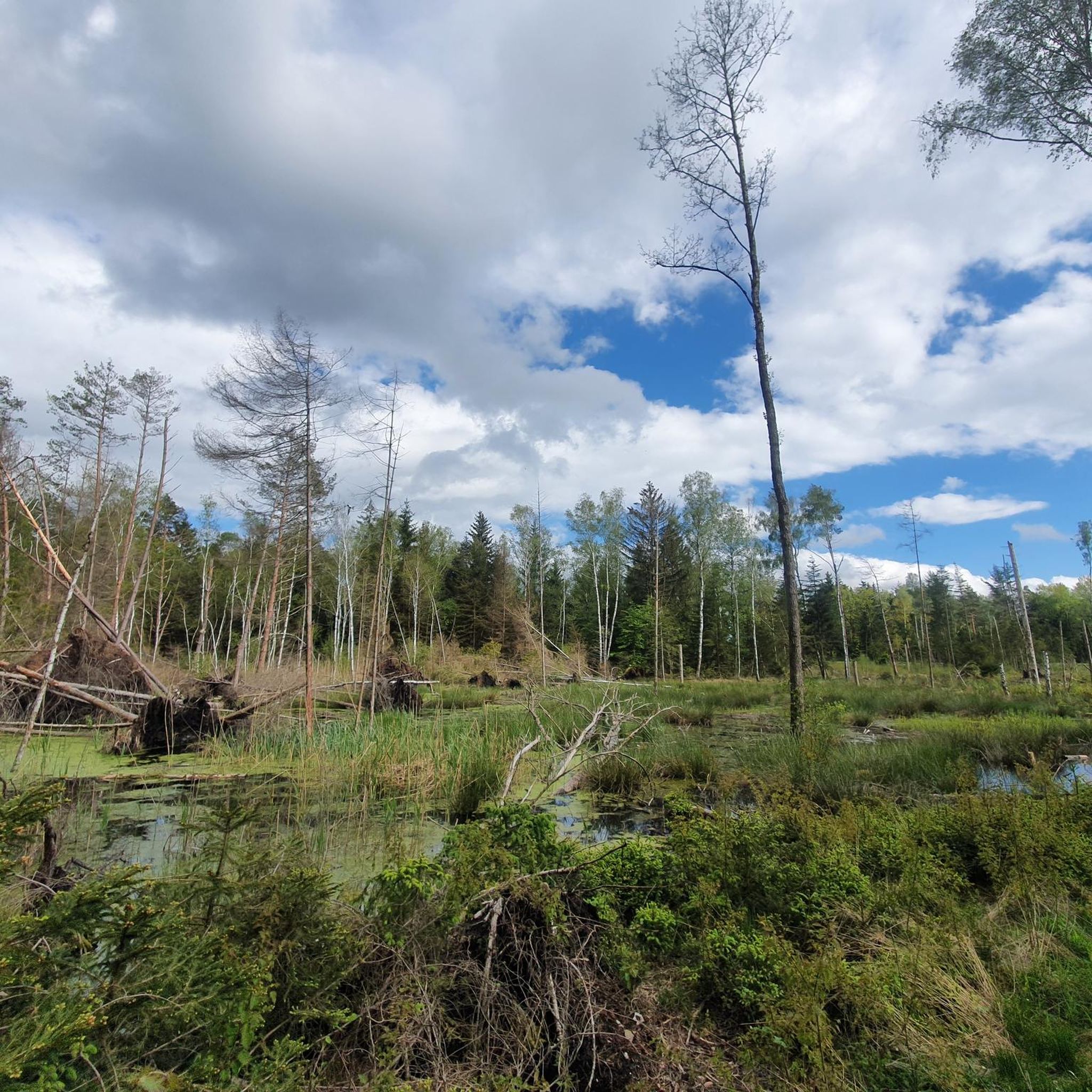
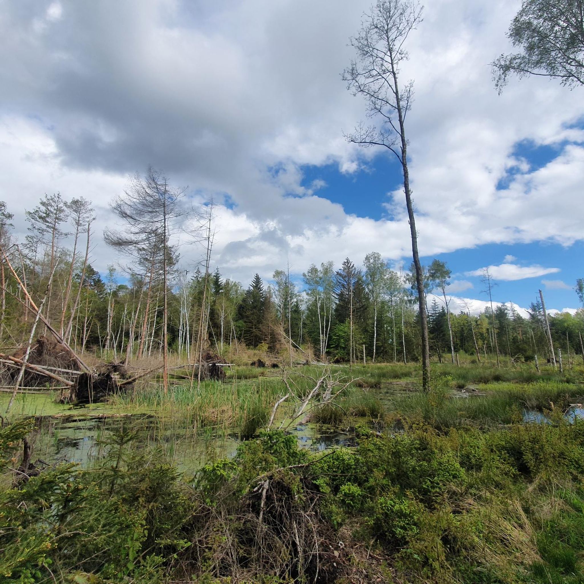
- The most popular road cycling route is Steinacher Ried –…
Last updated: July 7, 2026
4.0
(1)
36
riders
19.8km
00:56
70m
70m
Moderate road ride. Great for any fitness level. Some segments of this route may be unpaved and difficult to ride.
4.4
(32)
285
riders
Moderate road ride. Good fitness required. Mostly well-paved surfaces and easy to ride.

Sign up for free
4.2
(5)
54
riders
40.6km
01:40
240m
240m
Easy road ride. Great for any fitness level. Mostly well-paved surfaces and easy to ride.
5.0
(1)
42
riders
46.0km
02:03
430m
430m
Moderate road ride. Good fitness required. Mostly well-paved surfaces and easy to ride.
4.0
(13)
171
riders
36.9km
01:30
210m
210m
Easy road ride. Great for any fitness level. Mostly well-paved surfaces and easy to ride.
Get access to more routes and recommendations from other explorers.
Sign up for free
Already have an account?
Our route recommendations are based on thousands of hikes, rides, and runs completed by other people on komoot.
Start today with a free account
Your next adventure awaits.
Login or Signup
Tips from the Community

Just as easy to ride with a bike.
0
0

From the cycle path, you can catch a glimpse of the beautiful Ummendorf natural lake. Those who wish to rest can do so here on a small bench with a view of the lake.
2
0

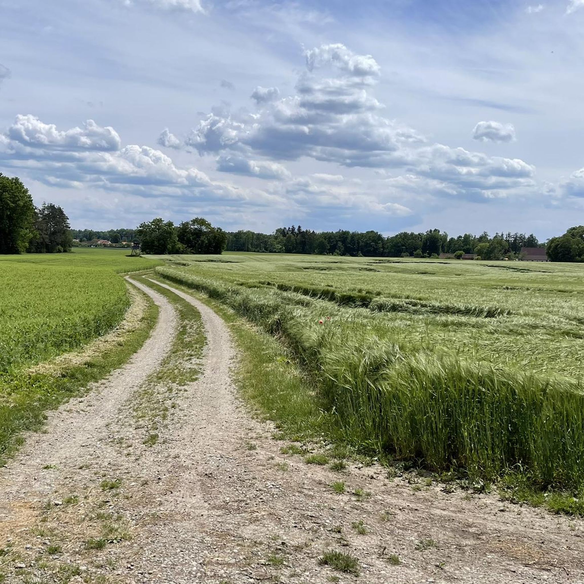
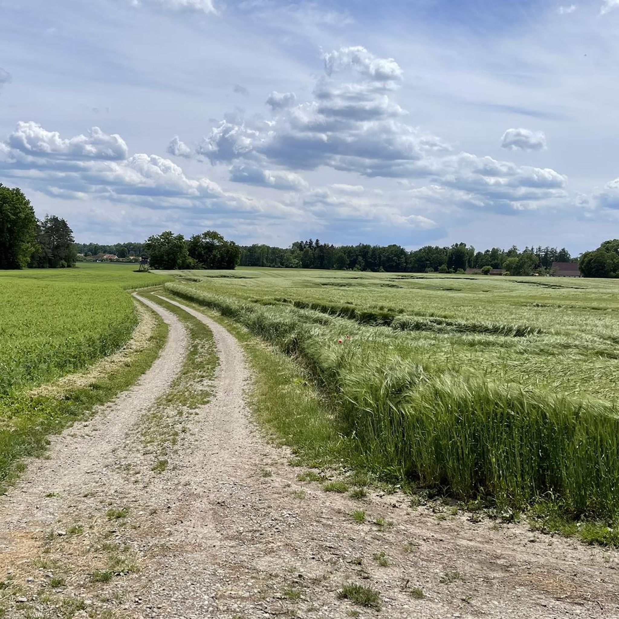
Small, quiet road, nice to drive
2
0

The Basilica of Weingarten is an imposing building that can be seen from afar.
1
0

It's a dreamlike area, with simply beautiful paths in the Allgäu.
1
0

Check out the photos of this highlight - they say more than dozens of words
0
0
At the moment the road surface is torn up for a short stretch, but the route is still rideable by racing bike
1
0
Frequently Asked Questions
What are the typical difficulty levels for road cycling routes in Tannwald?
Tannwald offers a diverse range of road cycling routes. You'll find approximately 105 easy routes, 341 moderate routes, and 45 more challenging options. The region's gently rolling terrain means that while some routes have varied elevation, many are accessible for different fitness levels.
What is the average length of road cycling routes in Tannwald?
The road cycling routes in Tannwald vary significantly in length. For example, the Steinacher Ried – Steinacher Ried loop from Brunnenholzried is about 12.3 miles (19.8 km), while routes like the Old Town of Bad Waldsee – Biberach Old Town loop from Bad Waldsee extend to around 31.9 miles (51.4 km). You can find routes ranging from shorter loops to longer tours connecting multiple towns.
Are there beginner-friendly road cycling routes in Tannwald?
Yes, Tannwald has a good selection of routes suitable for beginners, with about 105 easy routes available. An example is the Bad Waldsee Town Lake – Ummendorf Natural Lake loop from Bad Waldsee, which is an easy 39.9 km (24.8 miles) ride, offering moderate elevation changes and scenic views without being overly strenuous.
Are there challenging road cycling routes for experienced riders in Tannwald?
For experienced riders seeking a challenge, Tannwald offers around 45 difficult routes. While the region is characterized by gently rolling terrain, these routes often feature more significant elevation changes and longer distances. The landscape includes varied sections through forests and open fields, providing a good workout.
What kind of scenery can I expect on road cycling routes in Tannwald?
Road cycling in Tannwald offers diverse scenery, characterized by forests, natural wetlands like Steinacher Ried, and gently rolling agricultural land. Routes often pass by lakes, wind through wooded sections, and connect charming small towns. You'll experience a mix of open fields and shaded paths.
Are there circular road cycling routes available in Tannwald?
Yes, many road cycling routes in Tannwald are designed as loops, allowing you to start and end at the same point. Examples include the Steinacher Ried – Steinacher Ried loop from Brunnenholzried and the View of the Schussental – Schanzwies Pond loop from Bad Waldsee, which is an easy 36.9 km (22.9 miles) option.
What do other road cyclists enjoy most about road cycling in Tannwald?
The komoot community highly rates road cycling in Tannwald, with an average score of 4.5 stars from over 450 reviews. Cyclists often praise the region's varied terrain, which includes quiet woodlands, natural lakes, and open agricultural land, offering routes suitable for different ability levels.
What attractions or landmarks can I see along the road cycling routes in Tannwald?
While cycling in Tannwald, you can explore various points of interest. Near some routes, you might find historical markers like the Gute Beth von Reute Wayside Shrine or the Gute Betha von Reute Memorial. Natural features such as the Hidden Pond also offer scenic stops. Many routes connect historic town centers like Bad Waldsee and Biberach.
Is parking available near the starting points of road cycling routes in Tannwald?
Yes, parking is generally available in and around the towns that serve as common starting points for road cycling routes in Tannwald. For instance, you can typically find parking facilities in Bad Waldsee or near Brunnenholzried, which are popular access points for many tours.
Are there any cafes or places to stop for refreshments along the road cycling routes?
Many road cycling routes in Tannwald connect or pass through small towns and villages, such as Bad Waldsee and Biberach, where you can find cafes, bakeries, and restaurants for refreshments. The Elchenreuter Hofgut is an example of a restaurant highlight that could be near a route.
What is the best season for road cycling in Tannwald?
The best season for road cycling in Tannwald is typically from spring through early autumn (April to October). During these months, the weather is generally mild, and the landscape is vibrant. Summer offers longer daylight hours, while spring and autumn provide pleasant temperatures and beautiful scenery with fewer crowds.
Most popular routes in Tannwald
Most popular attractions in Tannwald

Get inspired with the komoot mobile app


Explore more
Browse the best Road cycling routes in other regions.
