The best road cycling routes in Heggbacher Wald
4.5
(1191)
15,412
riders
468
rides
Road cycling routes in Heggbacher Wald traverse a landscape characterized by forests and river valleys, particularly along the Riß River. The region features a mix of open fields and wooded sections, offering varied scenery for road cyclists. Elevations are generally moderate, with some routes including gentle climbs.
Best road cycling routes in Heggbacher Wald
- The most popular road cycling route is Öchsle Cycle Path – Forest path near Herrlishöfen loop from Sulmingen, a 24.2 miles (39.0 km) trail that…
Last updated: October 20, 2026
4.7
(7)
98
riders
45.1km
01:52
250m
250m
Easy road ride. Great for any fitness level. Mostly well-paved surfaces and easy to ride.
4.7
(3)
53
riders
39.0km
01:42
310m
310m
Moderate road ride. Good fitness required. Mostly well-paved surfaces and easy to ride.

3.0
(1)
40
riders
36.3km
01:28
170m
170m
Easy road ride. Great for any fitness level. Mostly well-paved surfaces and easy to ride.
4.0
(2)
27
riders
27.1km
01:07
160m
160m
Easy road ride. Great for any fitness level. Mostly well-paved surfaces and easy to ride.
5.0
(2)
16
riders
Easy road ride. Great for any fitness level. Mostly well-paved surfaces and easy to ride.
Get access to more routes and recommendations from other explorers.
Already have an account?
Our route recommendations are based on thousands of hikes, rides, and runs completed by other people on komoot.
Start today with a free account
Your next adventure awaits.
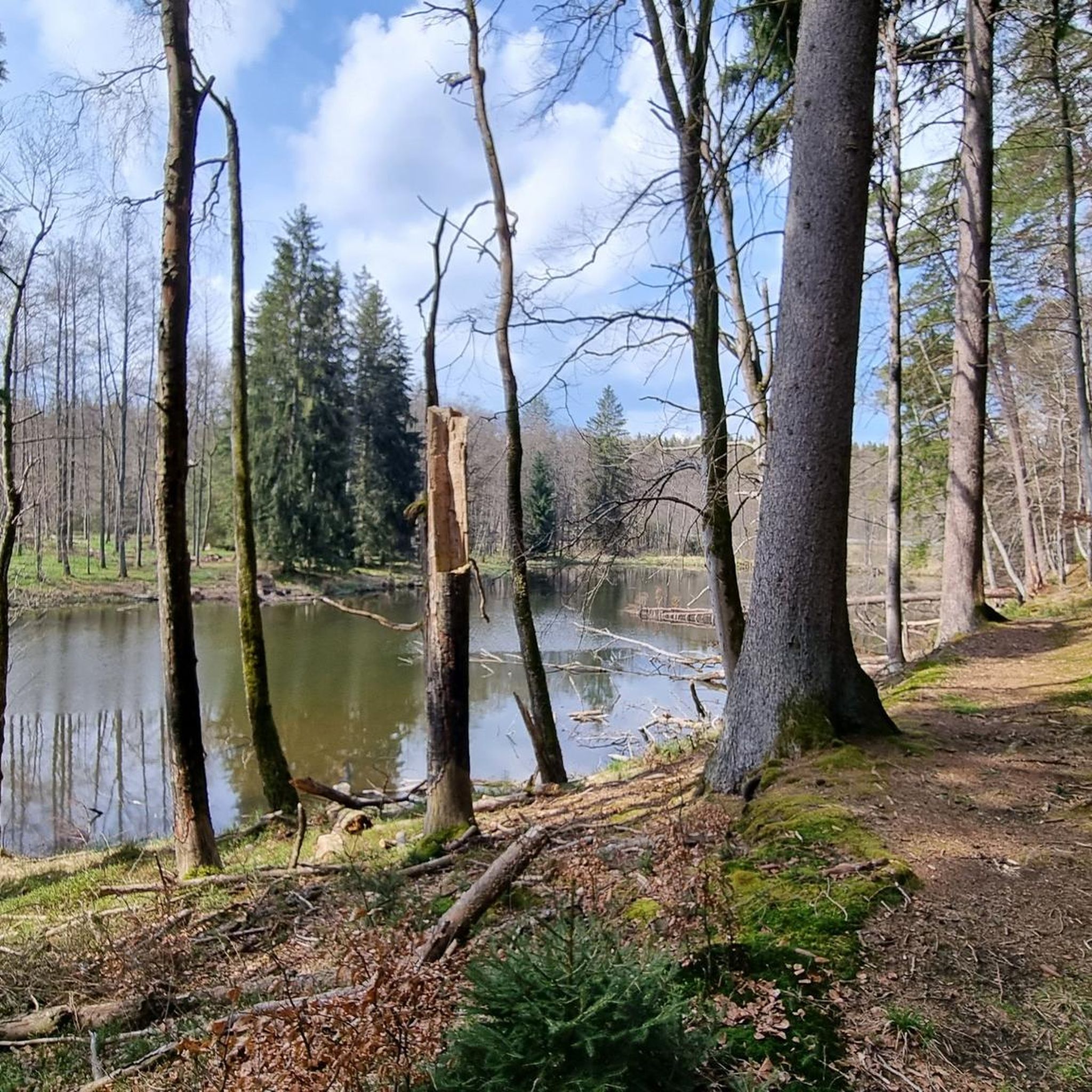
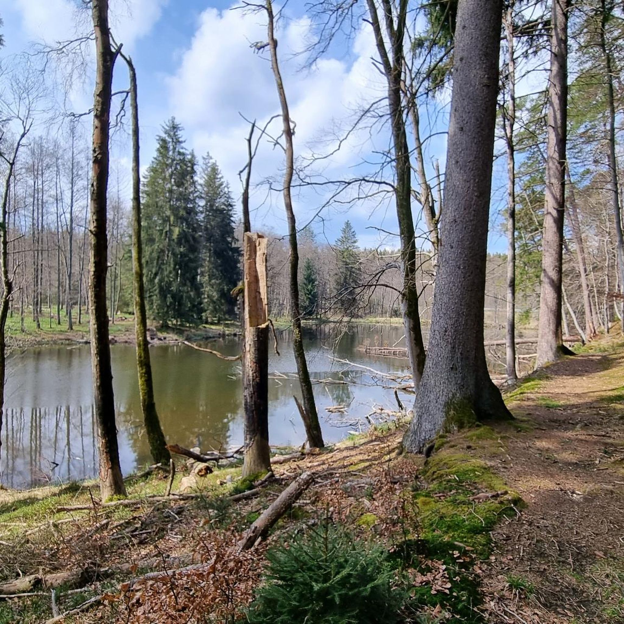
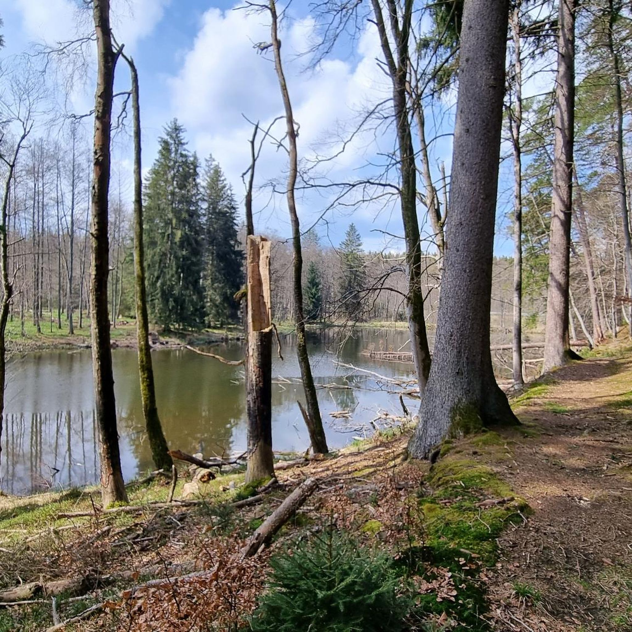
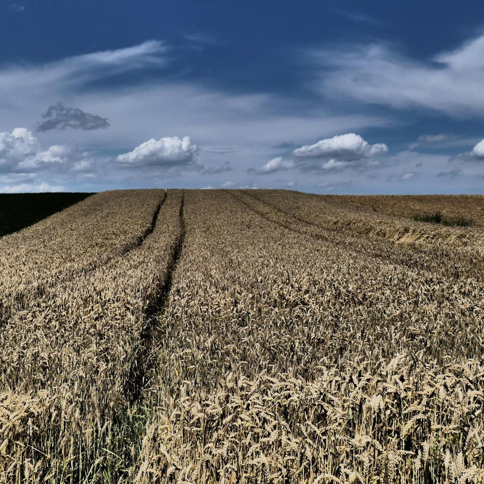
Tips from the Community

Super nice to drive.
0
0

The asphalted road from Schönebürg to Mietingen runs along the Rottum and is easy to navigate.
0
0

The city's most striking Gothic building from the 14th century has been used by both denominations since 1548, making it one of the oldest simultaneously used churches in Germany. After a serious fire caused by lightning in 1584, the tower was rebuilt. The interior of the church was given a baroque makeover in the mid-18th century and decorated with a monumental ceiling painting by Johannes Zick. The church is one of the stops on the Upper Swabian Baroque Route. Source: https://tourismus.biberach-riss.de/Biberach-erleben/Sehenswertes-Biberach/index.php?La=1&object=tx,3115.101.1&kat=&kuo=2&sub=0
1
0

Built in 1887/88 by Joseph Magdalena Enderle, née Schanz, in neo-Gothic style. Patroness: Maria Immaculata (08.12.) Equipment: neo-Gothic altar with image of the Virgin Mary Immaculata, left: Mary of Lourdes, right: Joseph as a carpenter (wooden sculpture). The bell is rung mechanically.
0
0


Nice tour
0
0


Very worth seeing city church
2
0
Frequently Asked Questions
What is the overall difficulty level of road cycling routes in Heggbacher Wald?
The road cycling routes in Heggbacher Wald primarily range from easy to moderate. Out of 461 available routes, 114 are classified as easy, 321 as moderate, and 26 as difficult, offering options for various skill levels.
Are there easy road cycling routes suitable for beginners in Heggbacher Wald?
Yes, beginners can find plenty of suitable options. There are 114 easy road cycling routes in Heggbacher Wald. A good starting point is the Water Buffalo Pond – Riß River loop from Sulmingen, which is an easy 16.6-mile (26.7 km) path featuring water bodies and following the Riß River.
Are there any routes for advanced road cyclists in Heggbacher Wald?
While the majority of routes are easy to moderate, Heggbacher Wald does offer 26 routes classified as difficult for more experienced road cyclists seeking a challenge.
What kind of scenery can I expect while road cycling in Heggbacher Wald?
Road cycling in Heggbacher Wald offers varied scenery, characterized by a mix of open fields, dense forest sections, and river valleys, particularly along the Riß River. You'll experience a blend of natural landscapes and some routes pass through urban areas.
Are there any family-friendly road cycling routes in Heggbacher Wald?
Many of the easy and moderate routes are suitable for families. The region's generally moderate elevations and dedicated cycle paths, like sections of the Öchsle Cycle Path – Forest path near Herrlishöfen loop from Sulmingen, make for pleasant family outings.
What is the best season for road biking in Heggbacher Wald?
The region is generally pleasant for road cycling from spring through autumn. The landscape is particularly beautiful when the fields are green and the rivers are full. Winter cycling might be possible, but conditions can vary, so checking local weather is advisable.
Are there any scenic viewpoints or attractions along the road cycling routes in Heggbacher Wald?
Yes, you can find several points of interest. Consider exploring the Heggbacher Ponds or the Beaver landscape Reichenbach. Some routes also feature a Cycle Route Between Wennedach and Reinstetten offering pleasant views.
Are there road cycling routes that are loop trails in Heggbacher Wald?
Yes, many road cycling routes in Heggbacher Wald are designed as loops. Examples include the popular Öchsle Cycle Path – Forest path near Herrlishöfen loop from Sulmingen and the Scenic route lined with fields – Riß River loop from Maselheim.
What do other road cyclists enjoy most about road cycling in Heggbacher Wald?
The area is highly rated by the komoot community, with an average score of 4.6 stars from over 900 reviews. Cyclists often praise the varied terrain, which includes forests, river paths, and open fields, and the well-maintained network of routes suitable for different abilities.
How long do road cycling routes typically take in Heggbacher Wald?
Route durations vary depending on distance and difficulty. For instance, the moderate Öchsle Cycle Path – Forest path near Herrlishöfen loop from Sulmingen (24.2 miles / 39.0 km) typically takes about 1 hour 42 minutes, while the longer Dietenheim Town Center – Renaturation of Wangener Bach loop from Mietingen (30.8 miles / 49.6 km) is often completed in about 2 hours 10 minutes.
Are there options for less crowded road cycling routes in Heggbacher Wald?
While specific crowd levels can vary, exploring some of the less popular routes or cycling during off-peak hours (weekdays, early mornings) can help you find quieter experiences. The region offers a wide network of 461 routes, providing ample choice beyond the most frequented paths.
Most popular routes in Heggbacher Wald
Most popular attractions in Heggbacher Wald

Get inspired with the komoot mobile app


Explore more
Browse the best Road cycling routes in other regions.
