The best road cycling routes in Grünwalder Forst
4.5
(2718)
45,967
riders
325
rides
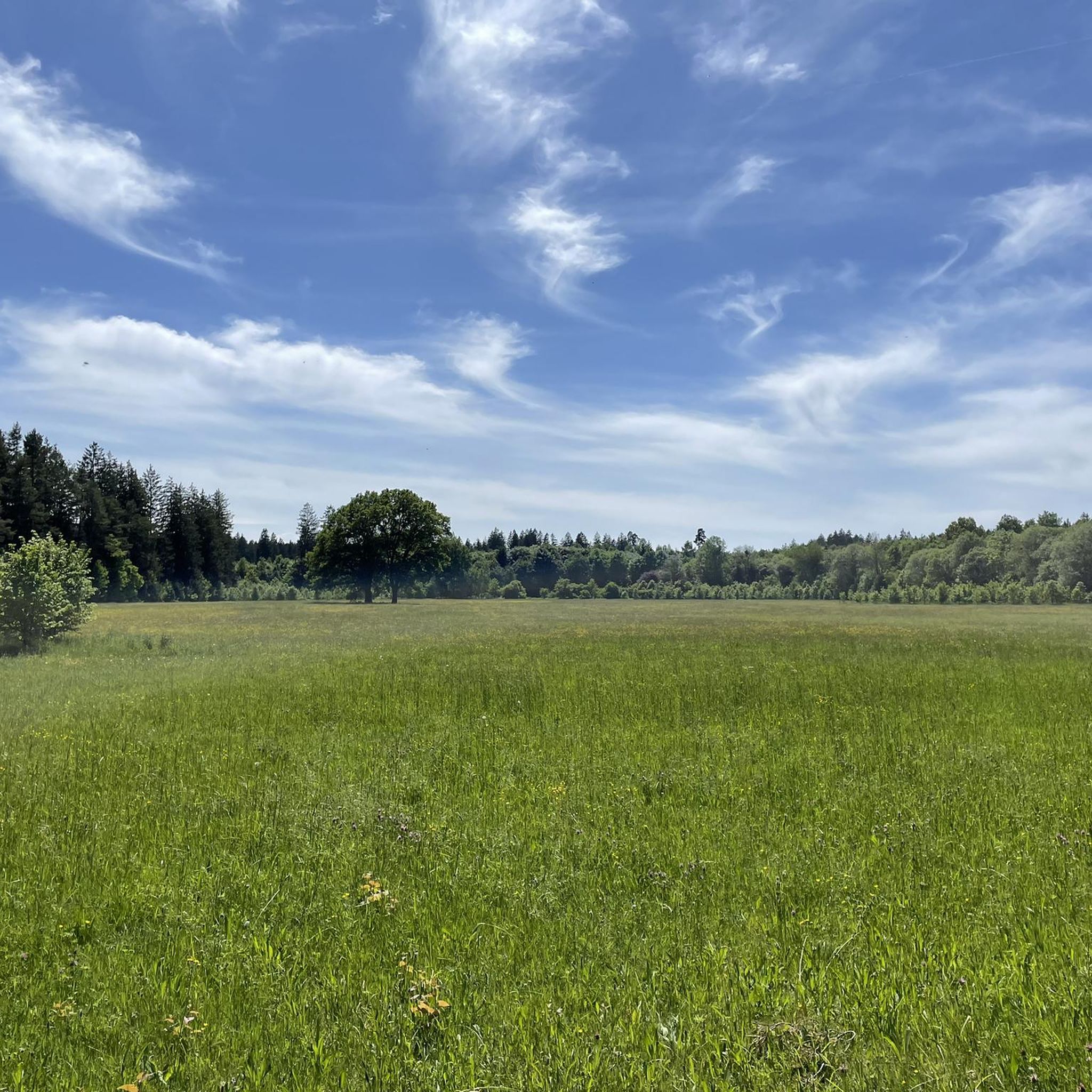
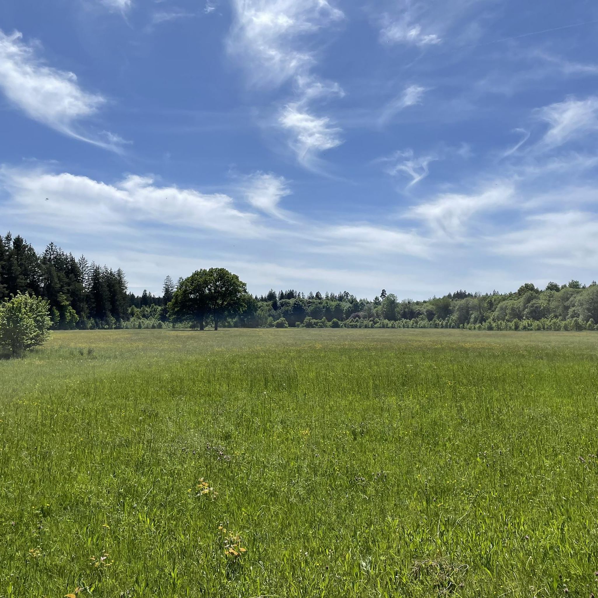
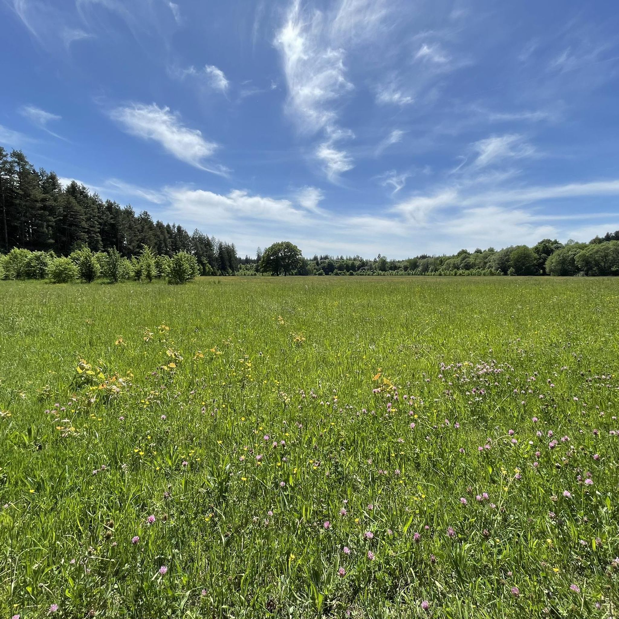
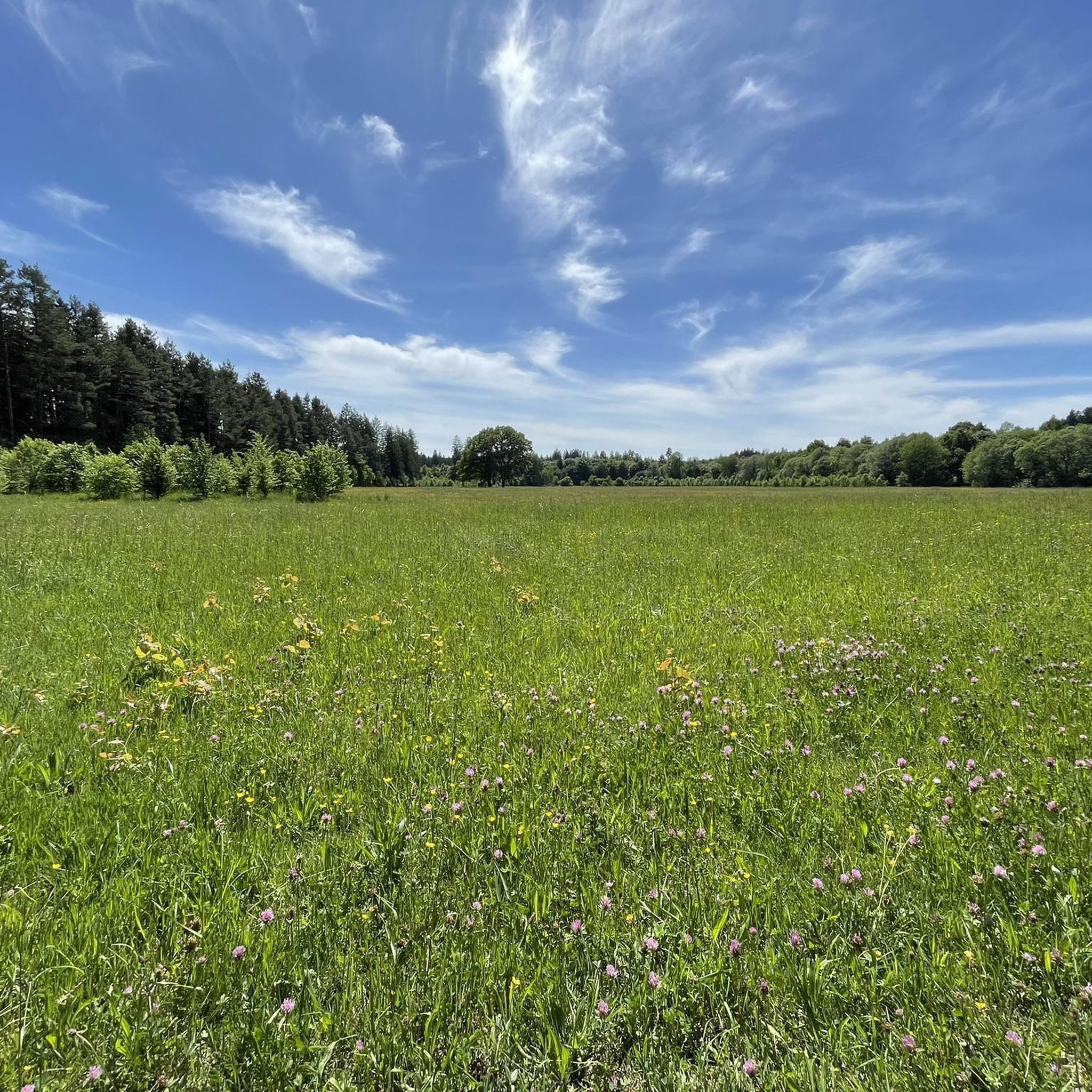
Road cycling routes in Grünwalder Forst traverse a municipal-free forest area situated south of Munich, forming a vital part of the Munich Green Belt. The terrain is generally flat, characterized by well-maintained paths and idyllic mixed forests that extend westward towards the Isar River. This region offers a serene environment for road cyclists, with routes often featuring excellent tarmac and direct connections from the city.
Best road cycling routes in Grünwalder Forst
- The most popular road cycling route is Sauerlacher…
Last updated: July 2, 2026
4.7
(10)
87
riders
37.7km
01:30
120m
120m
Easy road ride. Great for any fitness level. Mostly well-paved surfaces and easy to ride.
4.3
(7)
127
riders
Easy road ride. Great for any fitness level. Mostly well-paved surfaces and easy to ride.

Sign up for free
3.9
(8)
52
riders
Moderate road ride. Great for any fitness level. Some segments of this route may be unpaved and difficult to ride.
12
riders
24.6km
01:01
150m
150m
Easy road ride. Great for any fitness level. Mostly well-paved surfaces and easy to ride.
4.7
(110)
1,340
riders
Easy road ride. Great for any fitness level. Mostly well-paved surfaces and easy to ride.
Get access to more routes and recommendations from other explorers.
Sign up for free
Already have an account?
Our route recommendations are based on thousands of hikes, rides, and runs completed by other people on komoot.
Start today with a free account
Your next adventure awaits.
Login or Signup
Tips from the Community

there is fresh water here to refresh yourself in hot weather
1
0

A really cool bike path on great asphalt. The average speed can be increased here.
1
1

A beautiful bike path runs alongside Tölzerstrasse between Straßlach and the Grünwald police station. You can cycle in both directions, but not all drivers know this, and those coming from the cemetery parking lot or wanting to enter often overlook cyclists and even insult them for supposedly going the wrong way. So, be careful around the cemetery.
0
1
According to Wikipedia, the former Roman Catholic parish church now serves as a war memorial. Elsewhere, it states that it was built at the end of the 13th century and was originally called St. Peter's, before being renamed St. Peter and Paul about 100 years later.
0
0

It wouldn't be a bad idea if the speed drivers switched to the Nürburgring. It's a dangerous track for pedestrians!
2
4

My Enduro irons out everything, but I'm missing the third chainring for high speed! 🤣
0
0


Relaxed ride with little traffic - after leaving Munich.
0
0
Frequently Asked Questions
What kind of terrain can I expect on road cycling routes in Grünwalder Forst?
Grünwalder Forst is characterized by generally flat terrain, making it suitable for relaxed cycling. The routes primarily feature well-maintained asphalt paths that wind through idyllic mixed forests, often extending towards the Isar River.
How many road cycling routes are available in Grünwalder Forst?
There are over 300 road cycling routes available in Grünwalder Forst, catering to various skill levels. The komoot community has explored more than 314 routes in the area.
Are there routes suitable for beginners or families in Grünwalder Forst?
Yes, Grünwalder Forst offers many easy routes perfect for beginners and families. Approximately 95 routes are classified as easy, providing a gentle cycling experience on well-maintained paths. An example is the Wooden fountain near Kugler Alm – St. Peter and Paul Church loop from Grünwald, which is an easy 23.5 km path.
What are some notable landmarks or points of interest I can see while cycling in Grünwalder Forst?
While cycling, you can explore several points of interest. The forest contains remnants of a former Roman road, the Via Julia, and ancient monuments like the Römerschanze. A significant natural landmark is the Georgenstein (St. George's Rock) in the Isar riverbed. You can also find the Grünwalder Sauschütt Forest Adventure Center, which features an adventure trail and wild boar enclosure.
What do other road cyclists enjoy most about cycling in Grünwalder Forst?
The area is highly rated by the komoot community, with an average score of 4.5 stars from over 2,400 reviews. Cyclists often praise the well-maintained asphalt paths, the serene environment of the mixed forests, and the direct connections from Munich, making it an ideal escape for a tranquil ride.
Are there any challenging routes for experienced road cyclists?
Yes, while many routes are easy or moderate, Grünwalder Forst also offers options for more experienced cyclists. There are 33 routes classified as difficult, providing a greater challenge in terms of distance or elevation. An example of a moderate route with more elevation is the Isar Canal Riverside Trail – Pupplinger Au loop from Deisenhofen, covering over 62 km with significant elevation changes.
What is the best season for road biking in Grünwalder Forst?
The best season for road biking in Grünwalder Forst is generally from spring through autumn, when the weather is mild and the paths are clear. The idyllic mixed forests are particularly beautiful during these times, offering pleasant temperatures and vibrant scenery. While possible, winter conditions can make some paths less suitable for road bikes.
Are there loop routes available for road cycling?
Yes, many road cycling routes in Grünwalder Forst are designed as loops, allowing you to start and end at the same point. Examples include the Sauerlacher Straße – Deisenhofen railway line loop from Grünwald and the Grünwald Castle – View of Grünwald Castle loop from Perlacher Forst.
Can I reach Grünwalder Forst by public transport for cycling?
Grünwalder Forst is situated south of Munich and is accessible via public transport, making it convenient for cyclists coming from the city. The area is well-connected, with routes like the Perlacher Forst Bike Path providing an ideal link from Munich to longer cycling routes within the forest.
Are there places to stop for refreshments or cafes near the cycling routes?
Yes, there are places to stop for refreshments. The region research mentions the Kugler Alm, which is implicitly near some routes, such as the Wooden fountain near Kugler Alm – St. Peter and Paul Church loop from Grünwald. The Walderlebniszentrum Grünwald also offers facilities that might include refreshment options.
How long are the typical road cycling routes in Grünwalder Forst?
Route lengths vary significantly. You can find shorter, easy paths like the Wooden fountain near Kugler Alm – St. Peter and Paul Church loop from Grünwald at 23.5 km, or longer, more challenging routes such as the Isar Canal Riverside Trail – Pupplinger Au loop from Deisenhofen, which spans over 62 km.
Most popular routes in Grünwalder Forst
Most popular attractions in Grünwalder Forst

Get inspired with the komoot mobile app


Explore more
Browse the best Road cycling routes in other regions.
