The best walks and hikes in Tschirgantwald
4.6
(7654)
39,371
hikers
12
hikes
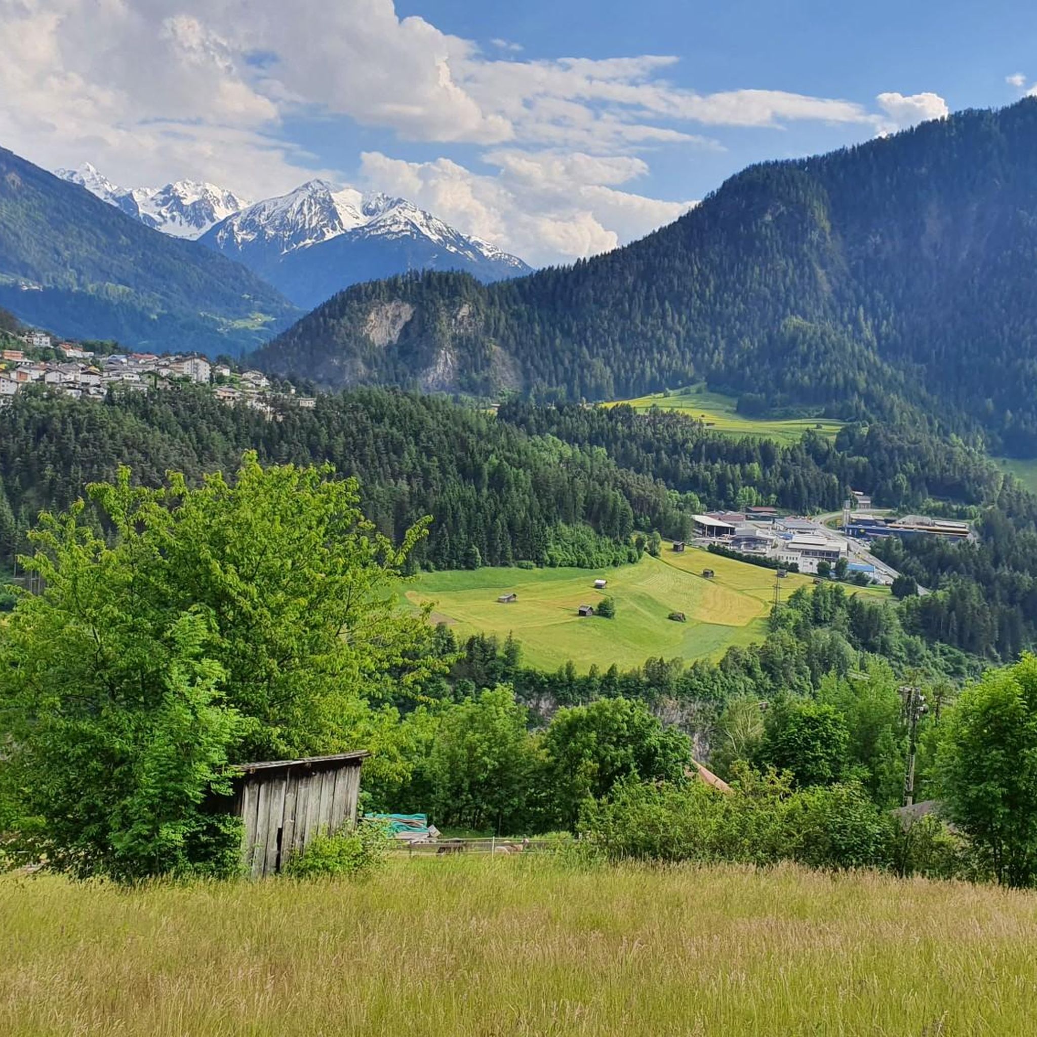
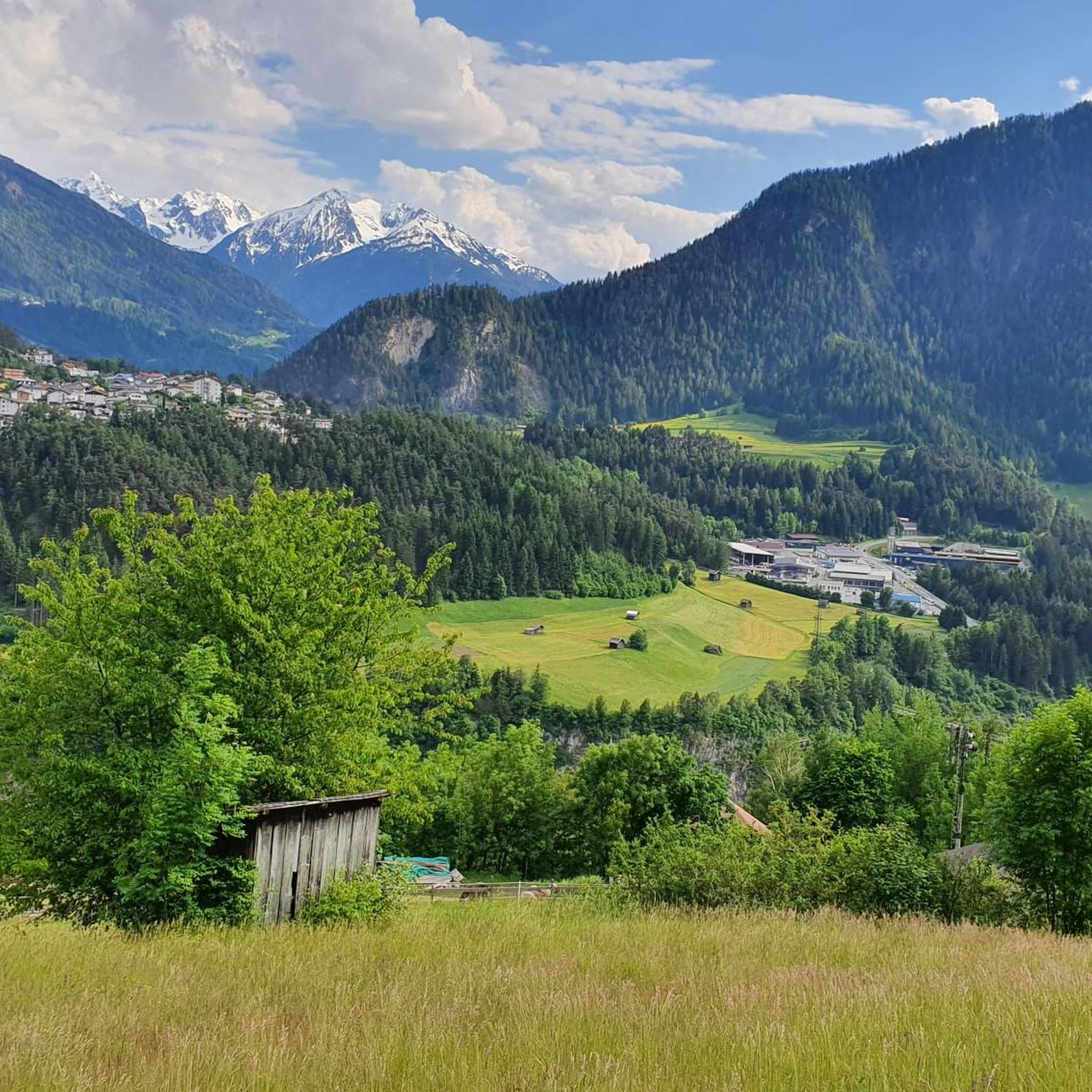
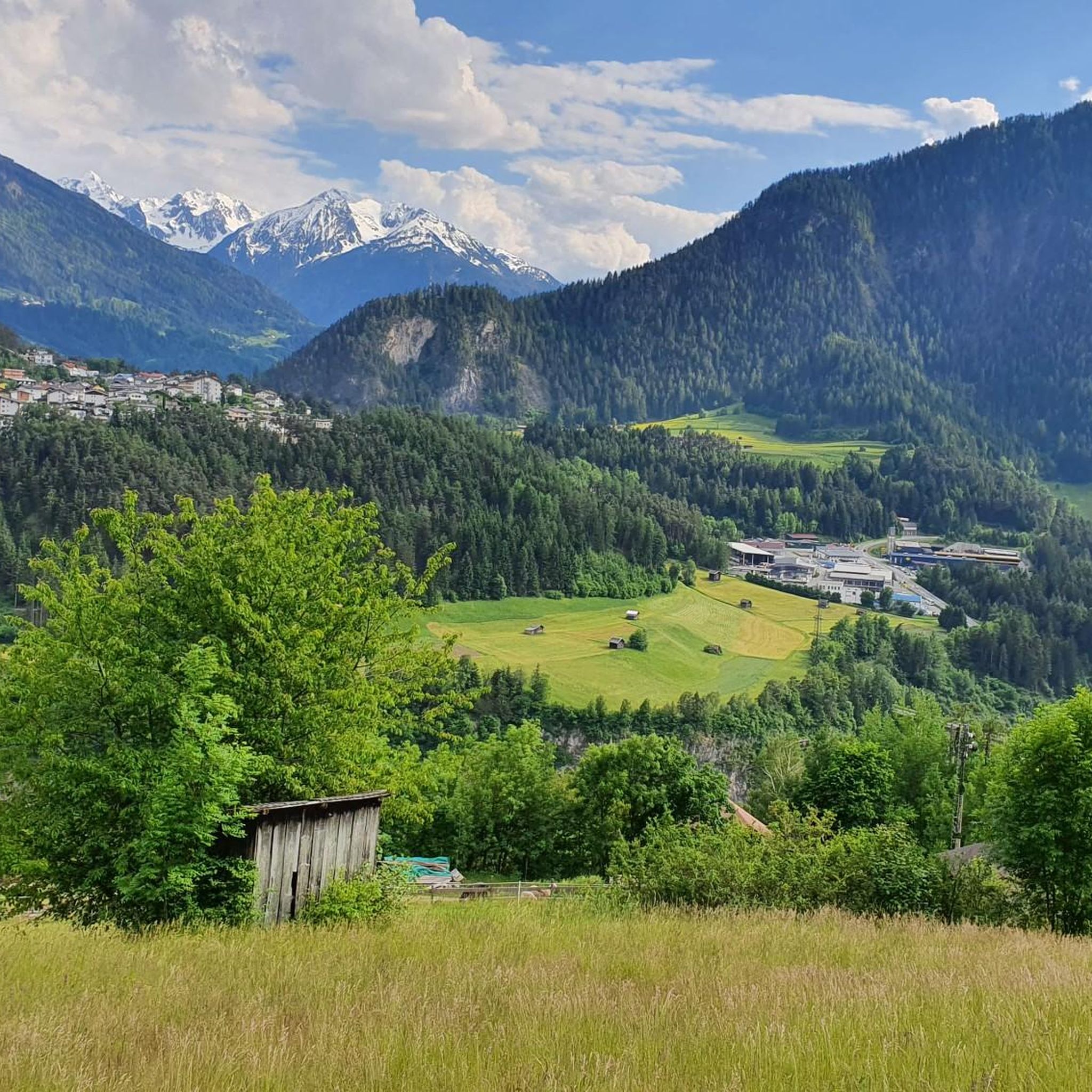
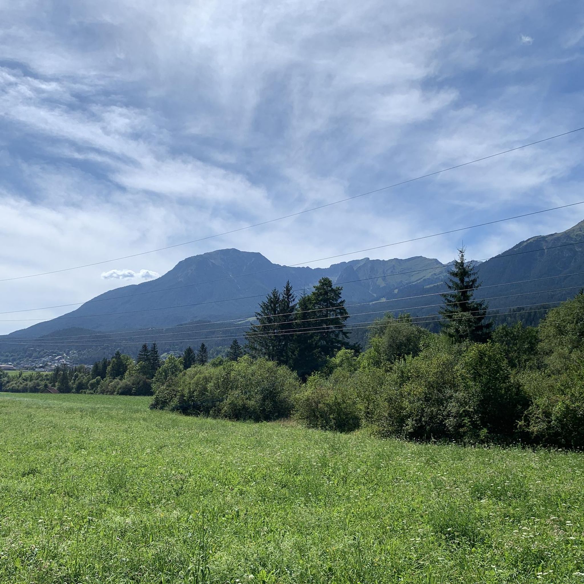
Hiking in Tschirgantwald is characterized by mountainous terrain, with the prominent Tschirgant mountain reaching 2,370 meters. The region features diverse forest ecosystems, including pine and larch, alongside picturesque alpine meadows. Tschirgantwald hiking terrain varies from gentle sections to gravel paths and rocky terrain, with some challenging parts requiring sure-footedness. The area offers panoramic views encompassing the Ötztal, Pitztal, Gurgltal, and Inntal valleys.
Best hiking trails in Tschirgantwald
- The most popular hiking route is Mountain rescue hut – Karröster Alm loop…
Last updated: July 1, 2026
4.7
(40)
260
hikers
14.8km
07:20
1,330m
1,330m
Hard hike. Very good fitness required. Sure-footedness, sturdy shoes and alpine experience required.
4.9
(15)
134
hikers
8.38km
04:52
830m
830m
Hard hike. Good fitness required. Sure-footedness, sturdy shoes and alpine experience required.

Sign up for free
3.9
(11)
73
hikers
8.82km
03:13
580m
580m
Moderate hike. Good fitness required. Easily-accessible paths. Suitable for all skill levels.
4.9
(7)
45
hikers
17.3km
08:08
1,390m
1,390m
Hard hike. Very good fitness required. Sure-footedness, sturdy shoes and alpine experience required.
5.0
(7)
50
hikers
7.13km
02:16
300m
300m
Moderate hike. Good fitness required. Easily-accessible paths. Suitable for all skill levels.
Get access to more routes and recommendations from other explorers.
Sign up for free
Already have an account?
Our route recommendations are based on thousands of hikes, rides, and runs completed by other people on komoot.
Start today with a free account
Your next adventure awaits.
Login or Signup


Tips from the Community

A very beautiful alpine pasture; unfortunately, the sympathy we were used to has gone down the drain with the new tenant. And if the good lady is reading this – if you're going to criticize someone (at the alpine pasture), it's best to do it at a low volume. But fortunately, this isn't the only alpine pasture in the region.
0
0

Bring enough water! There's none on the mountain.
1
1

Via mountain rescue trail to Tschirgant
1
0

Beautiful hiking trail with some small inclines but also flat sections.
0
0

Fully prepared mountain rescue hut 👍🏻 ...and if nobody is there, there are some drinks in the rain room for honest hikers. 👍🏻 really cool 😎
2
0

Frequently Asked Questions
How many hiking trails are there in Tschirgantwald?
Tschirgantwald offers a network of over 10 hiking routes, ranging from moderate to difficult, providing diverse options for exploring the region's mountainous terrain and scenic views.
What kind of terrain can I expect when hiking in Tschirgantwald?
The terrain in Tschirgantwald is varied, featuring gentle alpine meadows, gravel paths, and more demanding rocky sections. Some trails include challenging parts that require sure-footedness, and certain sections are secured with steel cables, adding an adventurous element.
Are there any family-friendly hiking options in Tschirgantwald?
While many trails in Tschirgantwald are categorized as moderate to difficult, the broader Tschirgant-Bergsturz area offers easier routes along the Inn River. These provide charming views and sandbanks for relaxation, suitable for families looking for less strenuous walks.
Can I bring my dog on the hiking trails in Tschirgantwald?
Tschirgantwald is generally dog-friendly, but it's always recommended to keep your dog on a leash, especially in alpine meadows where livestock may be present, and to ensure you clean up after your pet. Always check local regulations for specific trails.
What are some notable landmarks or attractions to see along the trails?
Hikers can explore several interesting points, including the Old Mine Tunnel, the Mining open-air museum Knappenwelt Gurgltal, and the Via Gemunden Mining Monument and Forest Path. The region also features a geological nature trail near the Karröster Alm, providing insights into the massif's geology.
Are there any circular hiking routes in Tschirgantwald?
Yes, Tschirgantwald offers several circular routes. A popular option is the Mountain rescue hut – Karröster Alm loop from Karrösten, which is 9.1 miles (14.6 km) long and takes about 7 hours 17 minutes. Another is the Old Mine Tunnel – Karröster Alm loop from Karrösten, a moderate 5.5 miles (8.8 km) trail.
Where can I find refreshments or rest stops during my hike?
Hikers can find refreshment at mountain huts like the Karröster Alm (1,468 meters), which is managed from mid-May to late October and offers a cozy parlor and sun terrace. There's also an unmanaged mountain rescue hut at 2,175 meters with a drinks depot.
What are the best viewpoints in Tschirgantwald?
The Tschirgant mountain itself, standing at 2,370 meters, offers breathtaking 360-degree panoramic views from its summit, encompassing the Ötztal, Pitztal, Gurgltal, and Inntal valleys. The three summit crosses also provide distinct vantage points.
Is there public transport access to the hiking trailheads?
While specific public transport routes to every trailhead can vary, the Imst region generally has bus connections. It's advisable to check local bus schedules to Karrösten, Tarrenz, or Haiming, which are common starting points for Tschirgantwald hikes, to plan your access.
What do other hikers enjoy most about hiking in Tschirgantwald?
The area is highly rated by the komoot community, with an average score of 4.5 stars from over 4,600 reviews. Reviewers often praise the diverse landscapes, the challenging yet rewarding ascents, and the spectacular panoramic views from the summit of Tschirgant.
Are there any easy hikes for beginners in Tschirgantwald?
While many routes are moderate to difficult, beginners can find easier paths in the broader Tschirgant-Bergsturz area, particularly along the Inn River. These routes offer pleasant walks with views of Tschirgant and the Acherkogel, without the steep ascents of the higher mountain trails.
What is the best time of year to hike in Tschirgantwald?
The hiking season typically runs from late spring to early autumn (mid-May to late October), when mountain huts are open and weather conditions are generally more stable. During this period, you can best enjoy the diverse terrain and panoramic views.
Most popular routes in Tschirgantwald
Most popular attractions in Tschirgantwald

Get inspired with the komoot mobile app


Explore more
Browse the best Hikes in other regions.
