The best road cycling routes in Waldriefe
4.5
(193)
7,338
riders
42
rides
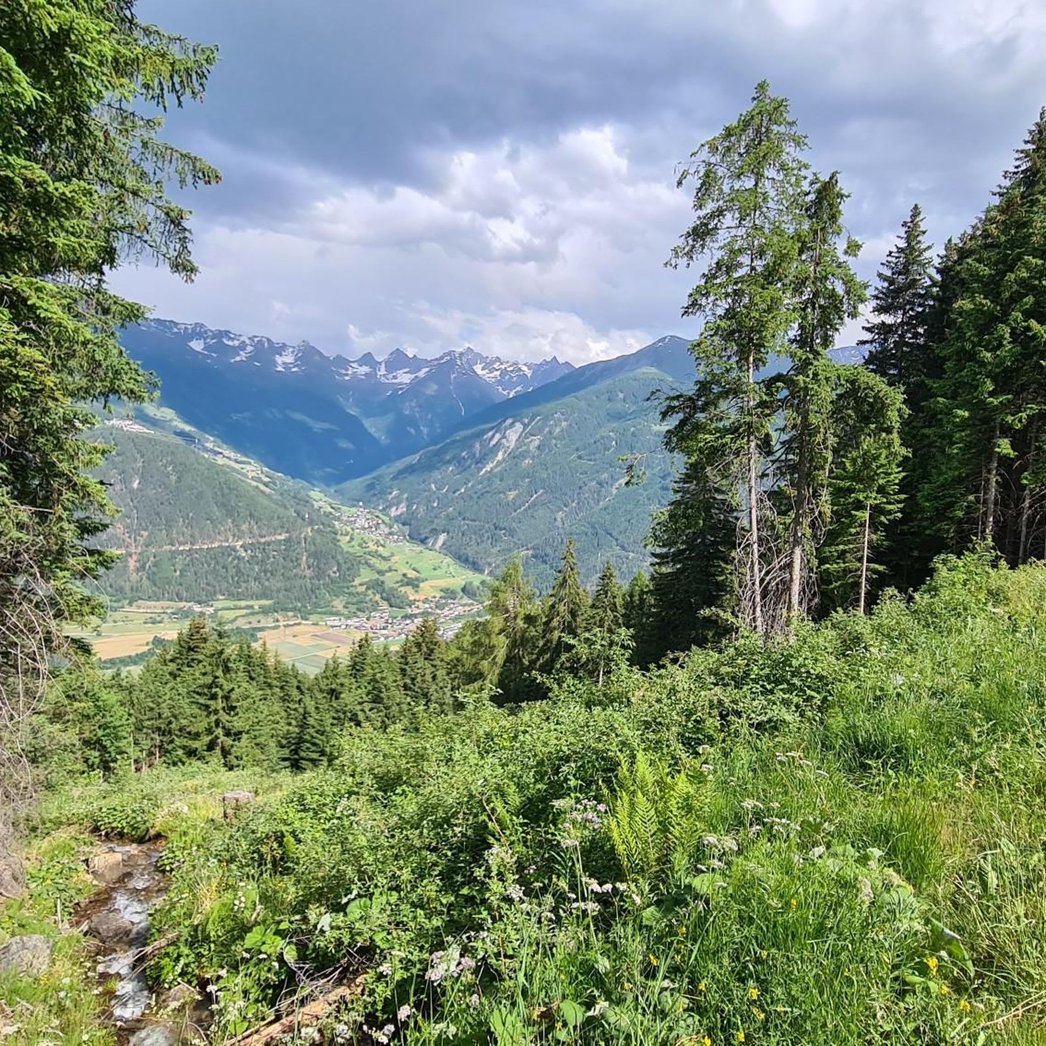
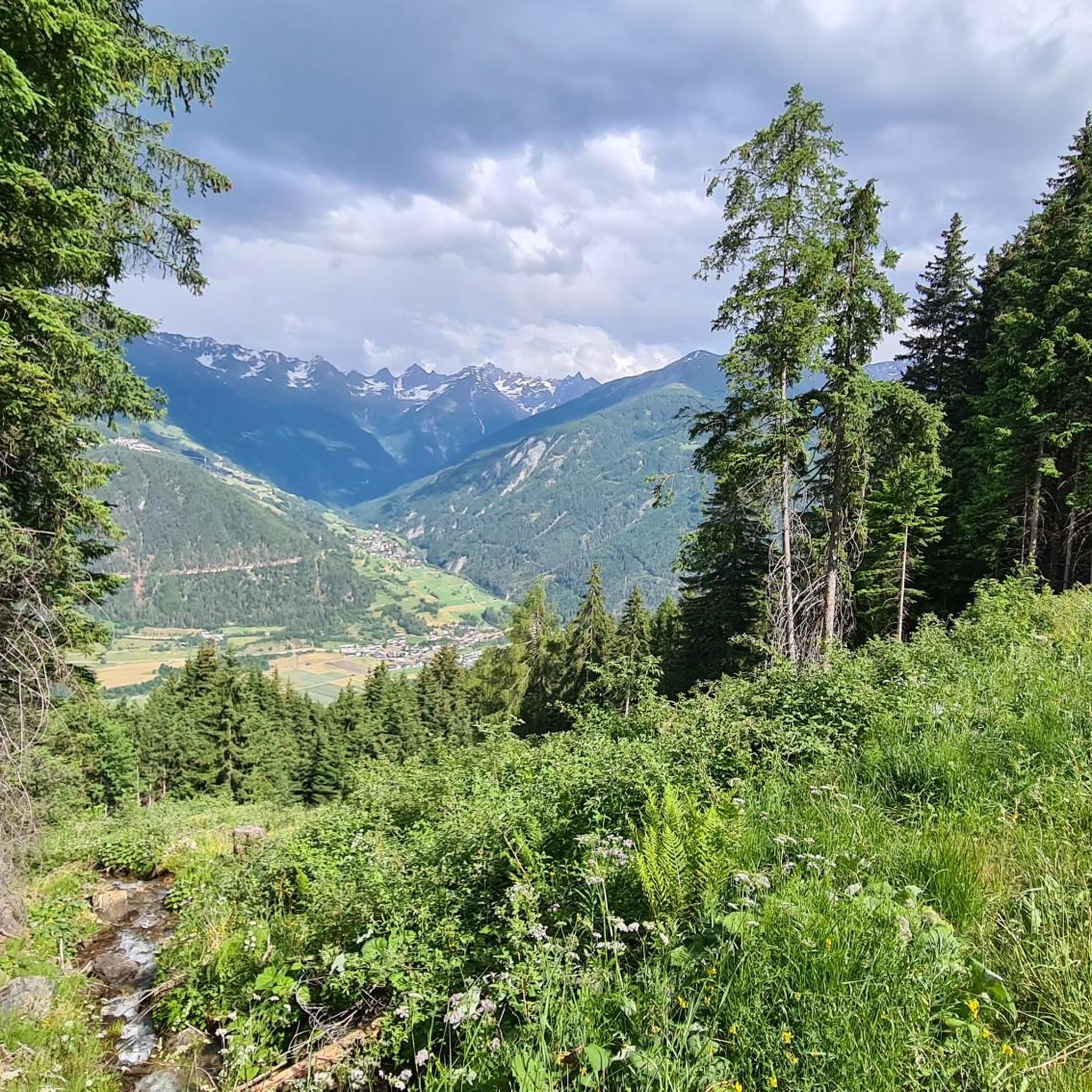
Road cycling in Waldriefe, situated within the Tiroler Oberland, is characterized by its diverse terrain, featuring forests, river valleys, and significant elevation changes. The region includes routes along the Inn River and climbs towards viewpoints like Pillerhöhe, offering varied cycling experiences. Road cyclists can expect a landscape shaped by mountainous areas, including views of the Ötztal Alps, alongside more gentle sections through valleys. The area provides a range of routes suitable for different skill levels, from moderate loops to challenging…
Last updated: July 9, 2026
4.3
(3)
108
riders
17.4km
01:00
380m
380m
Moderate road ride. Good fitness required. Mostly well-paved surfaces and easy to ride.
4.5
(8)
257
riders
51.7km
02:50
1,070m
1,070m
Hard road ride. Very good fitness required. Mostly well-paved surfaces and easy to ride.

Sign up for free
4.5
(2)
143
riders
131km
05:45
1,140m
1,140m
Hard road ride. Very good fitness required. Some segments of this route may be unpaved and difficult to ride.
5.0
(1)
114
riders
30.8km
01:56
670m
670m
Moderate road ride. Good fitness required. Some segments of this route may be unpaved and difficult to ride.
5.0
(2)
78
riders
37.4km
02:16
930m
930m
Hard road ride. Very good fitness required. Some segments of this route may be unpaved and difficult to ride.
Get access to more routes and recommendations from other explorers.
Sign up for free
Already have an account?
Our route recommendations are based on thousands of hikes, rides, and runs completed by other people on komoot.
Start today with a free account
Your next adventure awaits.
Login or Signup


Tips from the Community


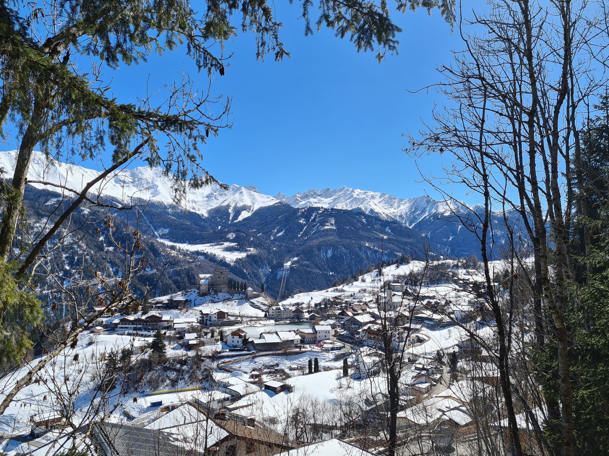
Especially on the climb up to Ladis, you have a fantastic view of the restored Laudeck (or Laudegg) castle ruins. First documented in 1232, the castle is now privately owned. However, it can still be visited as part of a guided tour; you can find information about these tours on the Serfaus-Fiss-Ladis website: https://www.serfaus-fiss-ladis.at/de/region-and-travel-information/restaurants-shops/laudeck-castle_infra_34677.
0
0

A superb inn run by several generations. Truly classy.
1
0


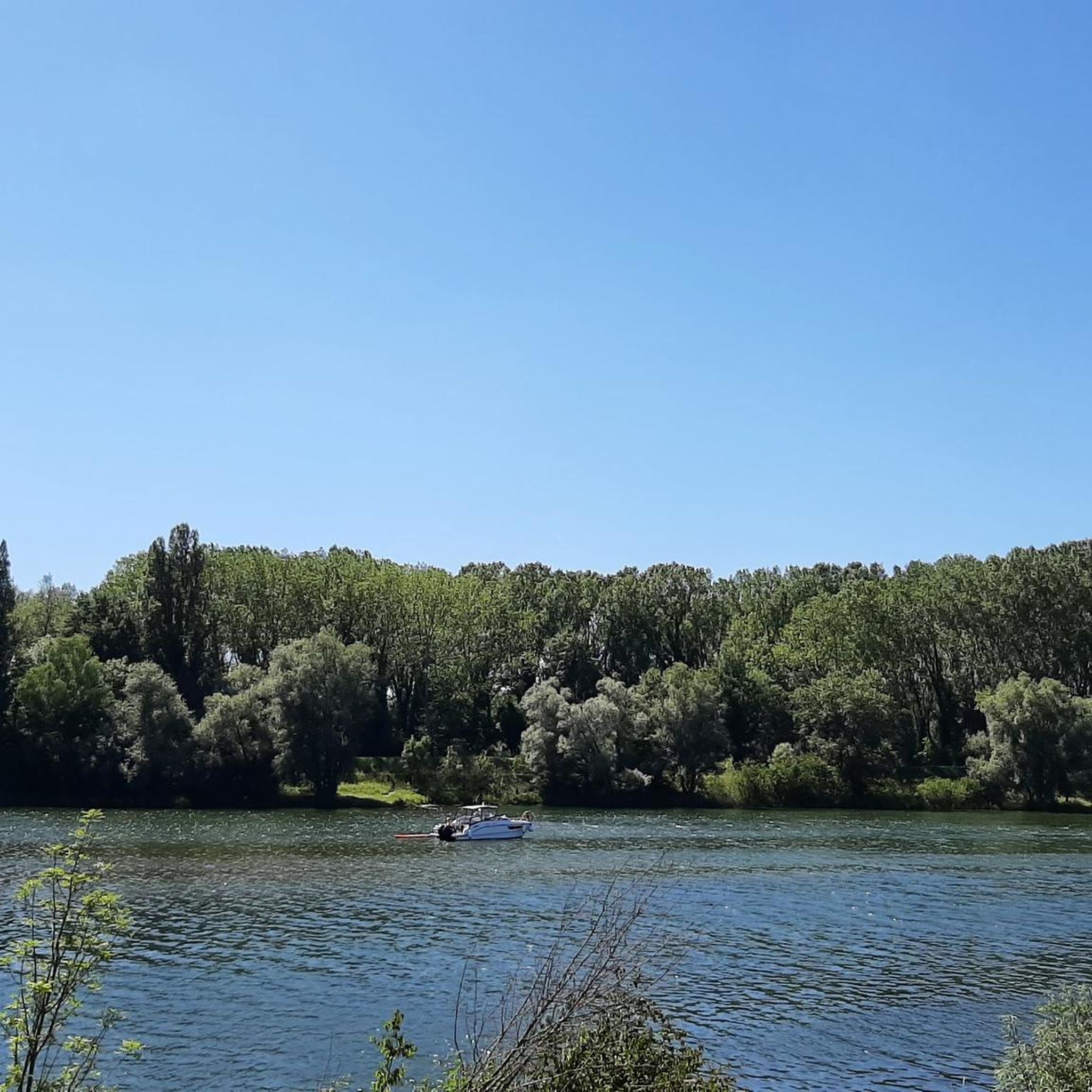
The Runserau weir dams the Inn River here. The reservoir is connected to the Imst hydroelectric power plant via a pressure tunnel. The Imst hydroelectric power plant was built in the 1950s and still supplies one-tenth of Tyrol's electricity today.
1
0

beautiful fountain in Fiss
0
0

You can save yourself the toll by using muscle power and good legs🚴🏼♂️
0
0
After the reservoir the party really starts😁🚵🏻
0
0
Frequently Asked Questions
What kind of terrain can I expect when road cycling in Waldriefe?
Waldriefe, located within the Tiroler Oberland, offers a diverse road cycling landscape. You'll encounter routes through forests, along river valleys like the Inn River, and significant elevation changes as you climb towards viewpoints such as Pillerhöhe. The region features mountainous areas with views of the Ötztal Alps, alongside more gentle sections through valleys, catering to various skill levels.
How many road cycling routes are available in Waldriefe?
There are over 40 road cycling routes available in Waldriefe, offering a wide range of experiences from moderate loops to challenging climbs. The komoot community has explored these routes over 7,900 times.
Are there any easy road cycling routes for beginners in Waldriefe?
Yes, Waldriefe offers several routes suitable for beginners. There are 5 easy routes available, providing a gentler introduction to road cycling in the region's scenic valleys.
What are some challenging road cycling routes in Waldriefe for experienced riders?
For experienced riders seeking a challenge, Waldriefe has 16 difficult routes. One such route is the View of the Ötztal Alps – Pillerhöhe loop from Prutz, which features significant climbs and offers stunning mountain vistas.
Are there any circular road cycling routes in Waldriefe?
Yes, many of the road cycling routes in Waldriefe are designed as loops. An example is the moderate St. Florian Fountain, Fiss – Lader Pond loop from Ladis, which provides a scenic circular tour.
What can I see along the road cycling routes in Waldriefe?
Along the road cycling routes, you can discover various points of interest. For example, the difficult Ibex Monument Kaunertal – Gepatsch Reservoir loop from Prutz passes by the impressive Gepatsch Reservoir. Other attractions in the wider Waldriefe area include the Frommes Alp and the Water Adventure and Explorer Trail.
Are there routes that follow river valleys in Waldriefe?
Absolutely. Waldriefe's road cycling is characterized by its river valleys. The Pontlatzer Bridge over the River Inn – Inntal Cycle Path Section Mils loop from Prutz is a prime example, leading through the scenic Inn River valley for over 130 kilometers.
What do other road cyclists enjoy the most about road cycling in Waldriefe?
The road cycling routes in Waldriefe are highly rated by the komoot community, with an average score of 4.5 stars from nearly 200 reviews. Cyclists often praise the diverse terrain, from river valleys to mountain ascents, and the variety of routes suitable for different ability levels.
Are there any routes that offer views of the Ötztal Alps?
Yes, several routes provide stunning views of the Ötztal Alps. The difficult View of the Ötztal Alps – Pillerhöhe loop from Prutz is specifically designed to showcase these magnificent mountain ranges, incorporating a climb to the Pillerhöhe viewpoint.
How long are the road cycling routes in Waldriefe generally?
The length of road cycling routes in Waldriefe varies significantly. You can find shorter moderate loops, such as the St. Florian Fountain, Fiss – Lader Pond loop from Ladis at 17.4 km, up to much longer and more challenging rides like the Pontlatzer Bridge over the River Inn – Inntal Cycle Path Section Mils loop from Prutz, which spans over 130 km.
Are there any routes that pass by lakes or reservoirs?
Yes, some routes incorporate water features into their scenic paths. The difficult Ibex Monument Kaunertal – Gepatsch Reservoir loop from Prutz is a notable example, taking you past the impressive Gepatsch Reservoir in the Kaunertal valley.
Most popular routes in Waldriefe
Most popular attractions in Waldriefe

Get inspired with the komoot mobile app


Explore more
Browse the best Road cycling routes in other regions.
