The best walks and hikes in Bosch Di Rughel
4.6
(203)
1,636
hikers
88
hikes
Hiking in Bosch Di Rughel offers a diverse range of trails through a beautiful forest landscape in the Moësa region. The area is characterized by varied terrain, including significant elevation changes, as evidenced by routes with over 2000 meters of ascent. Hikers can explore paths that wind through valleys and ascend to higher points, providing a comprehensive outdoor experience. The region's natural features make it suitable for different levels of hiking, from moderate forest walks to challenging mountain ascents.
Best…
Last updated: July 7, 2026
4.3
(6)
28
hikers
10.6km
04:09
710m
710m
Moderate hike. Good fitness required. Mostly accessible paths. Sure-footedness required.
4.0
(3)
12
hikers
8.82km
04:03
690m
690m
Moderate hike. Good fitness required. Mostly accessible paths. Sure-footedness required.

Sign up for free
5.0
(1)
8
hikers
23.7km
11:48
2,000m
2,000m
Hard hike. Very good fitness required. Sure-footedness, sturdy shoes and alpine experience required.
5.0
(1)
7
hikers
8.46km
04:22
1,020m
1,020m
Hard hike. Very good fitness required. Sure-footedness, sturdy shoes and alpine experience required.
12.7km
07:24
1,460m
1,460m
Hard hike. Very good fitness required. Mostly accessible paths. Sure-footedness required.
Get access to more routes and recommendations from other explorers.
Sign up for free
Already have an account?
Our route recommendations are based on thousands of hikes, rides, and runs completed by other people on komoot.
Start today with a free account
Your next adventure awaits.
Login or Signup
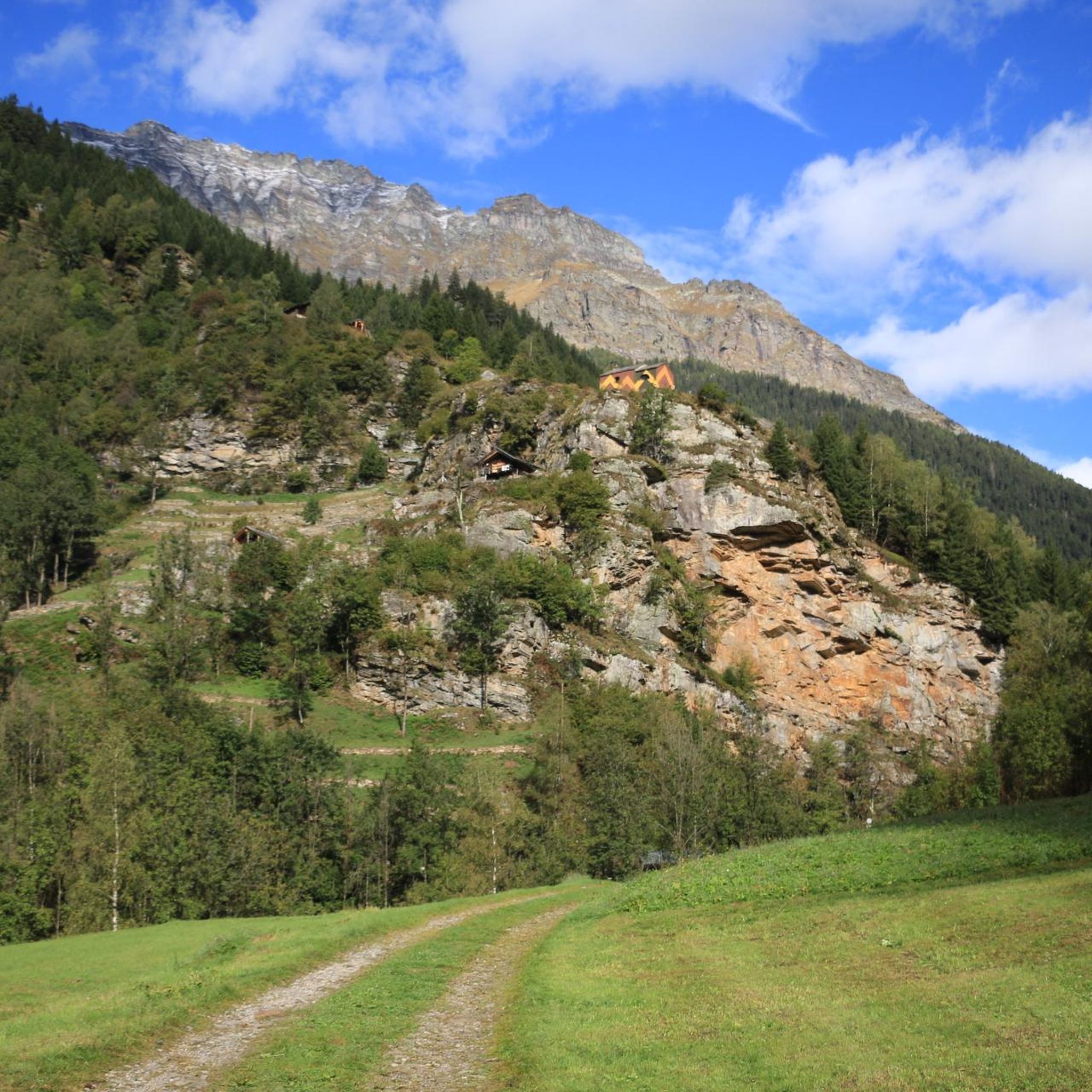
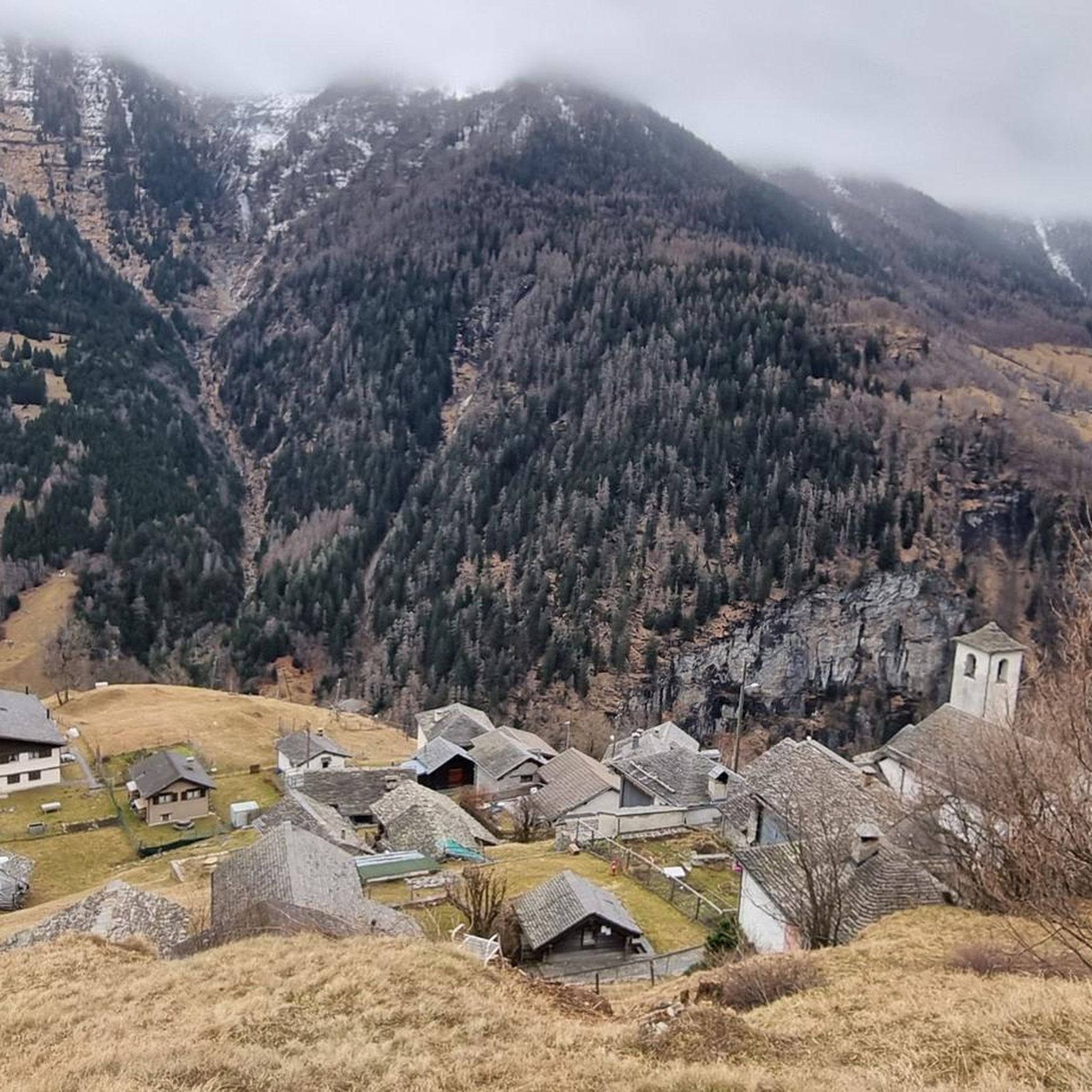
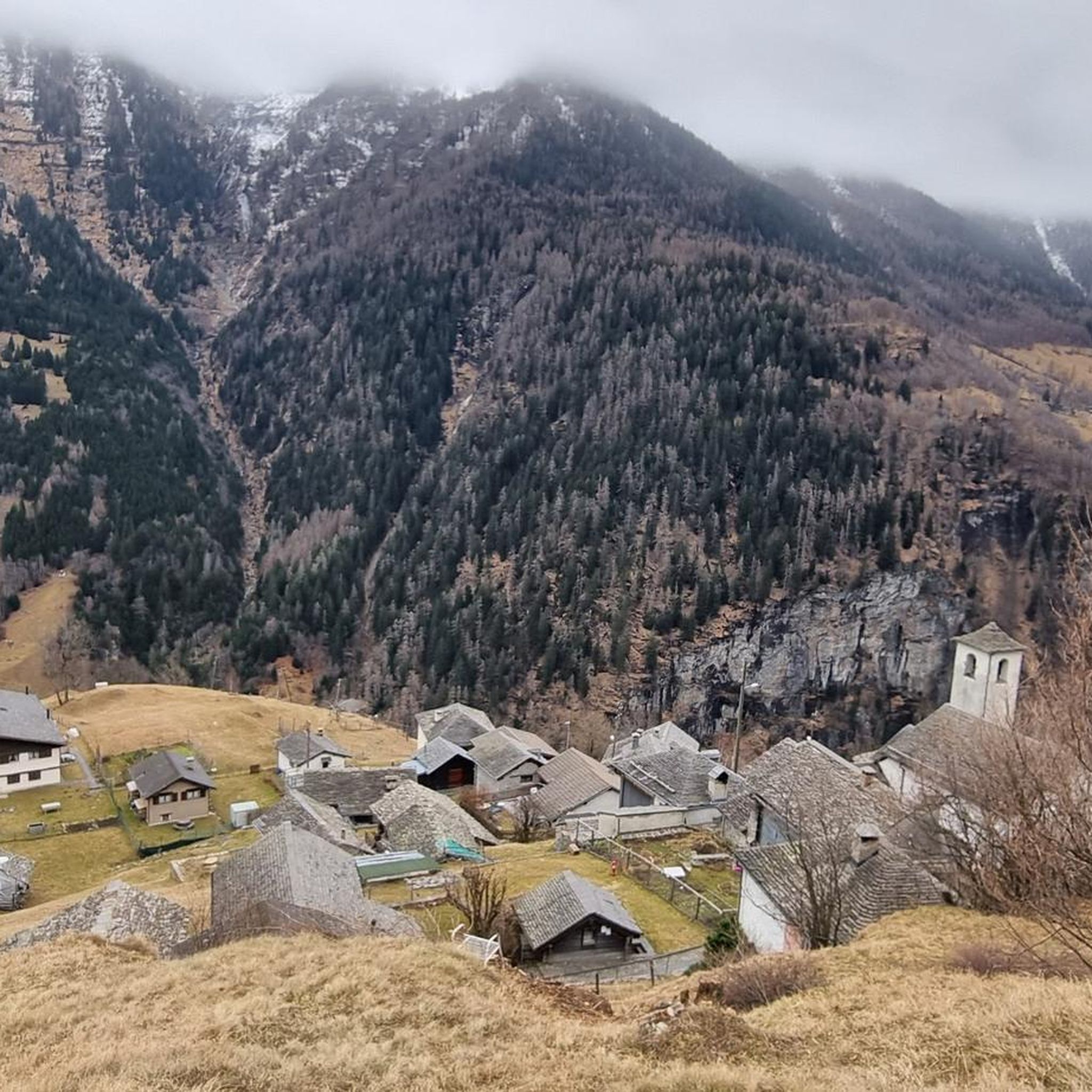
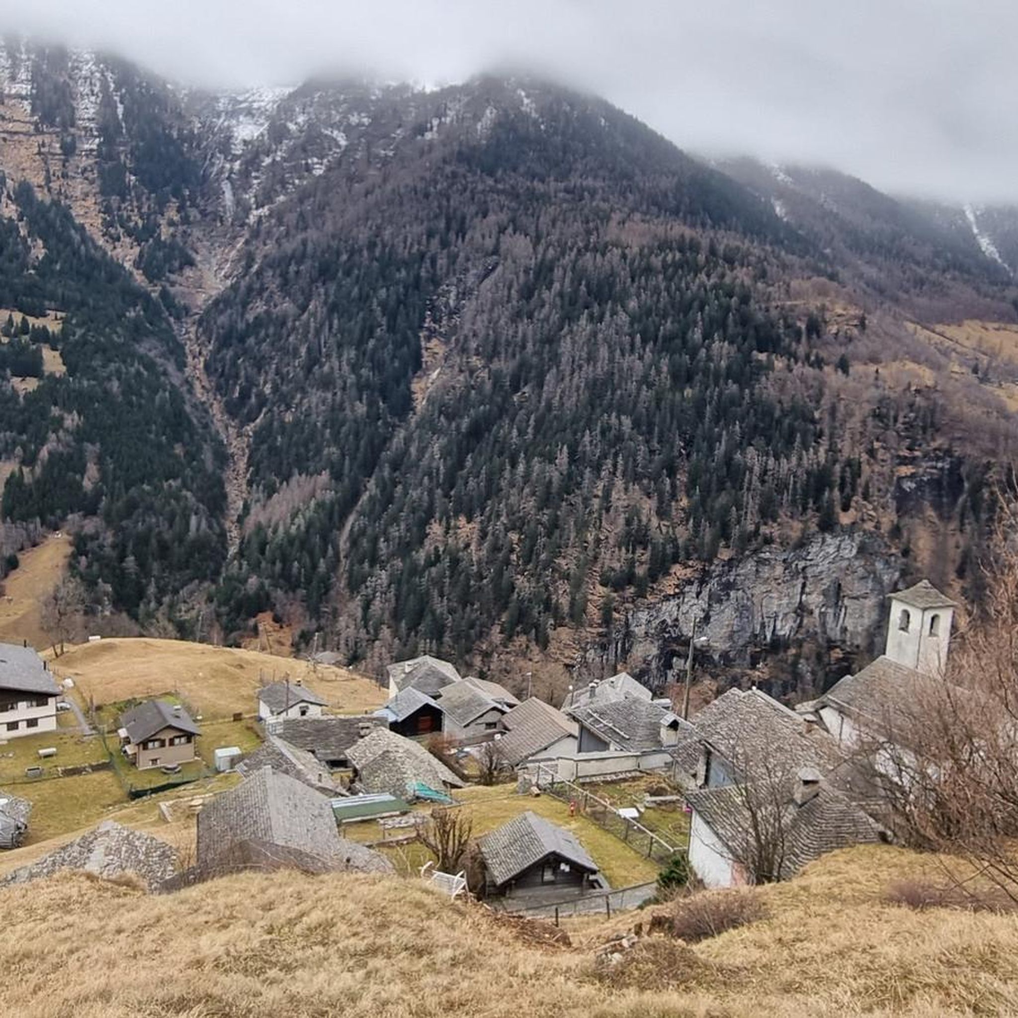
Tips from the Community

Level T4 ascent, difficult route for experienced hikers, but with few exposed sections and easily passable. Caution is advised in late summer due to snow.
2
0

Self-service gondola, easy to access and not overcrowded
0
0

Enchanting and wild mountain pasture with an incredible view of the Ticino valley and a beautiful waterfall to cool off
0
0
The nozzle allows passage between Grisons and Ticino. The descent on the Ticino side is a little steep, but doable.
0
0
Pizzo di Claro or Visagno, at 2727 m, is a beautiful, little-frequented peak located on the border between the Swiss cantons of Ticino and Grisons. The climb from Piz de Molinera is more demanding than that of the east side.
0
0
Landarenca is located at an altitude of 1252 meters on a terrace on the right side of the Calanca Valley and can only be reached on foot or by cable car. The town is located on a small terrace leaning against the rocks overlooking the valley.
0
0
At the foot of the Pizzo di Claro lies the Canèe lake, an idyllic mountain lake with crystal clear water in a treasure chest of mountains.
0
0
Braggio is a small town of around 50 inhabitants, reachable on foot or via the funicular. The village is made up of very well preserved old wooden and stone houses, a romantic little church and a restaurant, the Val Meira Hostel, where it is possible to stop.
0
0
Frequently Asked Questions
How many hiking trails are available in Bosch Di Rughel?
Bosch Di Rughel offers a wide selection of hiking routes, with over 80 trails recorded on komoot. These range from easy forest strolls to challenging mountain ascents, ensuring options for various skill levels.
Are there easy hiking options for beginners in Bosch Di Rughel?
Yes, Bosch Di Rughel has several easy trails suitable for beginners. There are 8 routes classified as easy, perfect for those looking for a gentle introduction to the region's beautiful forest landscapes.
What is the typical duration for hikes in Bosch Di Rughel?
Hike durations vary significantly. Moderate trails like the Arvigo, Braggio, and Mont de Fora Loop can take around 4 hours, while more challenging routes such as Pizzo di Claro and Laghetto di Carré can extend to nearly 12 hours due to their length and significant elevation gain.
Are there any circular hiking routes in Bosch Di Rughel?
Yes, many trails in Bosch Di Rughel are designed as loops. For example, the popular From Bodio to Selma – loop tour offers a moderate circular experience through forest and open landscapes.
What are the difficulty levels of hiking trails in Bosch Di Rughel?
The trails in Bosch Di Rughel cater to all levels. You'll find 8 easy routes, 40 moderate options, and 39 difficult trails, including those with significant elevation changes like the Anello della Motta del Perdül, which features over 1000 meters of ascent.
What do other hikers enjoy most about hiking in Bosch Di Rughel?
The komoot community highly rates the trails in Bosch Di Rughel, with an average score of 4.7 stars from over 180 reviews. Hikers often praise the diverse forest scenery, varied terrain, and the rewarding viewpoints found along the paths.
Is Bosch Di Rughel suitable for family-friendly hikes?
While the guide data doesn't specify 'family-friendly' routes, the presence of 8 easy trails suggests there are suitable options for families or those with younger children looking for less strenuous walks through the forest landscape.
Are there any specific viewpoints or natural attractions to look out for?
The region is characterized by paths that wind through valleys and ascend to higher points, offering scenic viewpoints of the surrounding Moësa region. The trails themselves provide a comprehensive outdoor experience through varied forest scenery.
What kind of landscape can I expect when hiking in Bosch Di Rughel?
Bosch Di Rughel features a beautiful forest landscape within the Moësa region. You can expect varied terrain, including paths that wind through valleys and ascend to higher points, offering a mix of forest and open landscapes.
Are there any particularly challenging hikes for experienced trekkers?
Absolutely. For experienced trekkers, trails like Alpe di Örz Trail, which covers 12.7 km with over 1400 meters of elevation gain, offer a significant challenge and a rewarding mountain experience.
Is it possible to hike in Bosch Di Rughel during winter?
The guide data does not provide specific information on winter hiking conditions. Given the significant elevation changes and mountainous terrain on some routes, it's advisable to check local weather forecasts and trail conditions for snow and ice before planning a winter hike.
Most popular routes in Bosch Di Rughel

Get inspired with the komoot mobile app


Explore more
Browse the best Hikes in other regions.
