The best running trails in Mitterberg
4.4
(189)
6,366
runners
223
runs
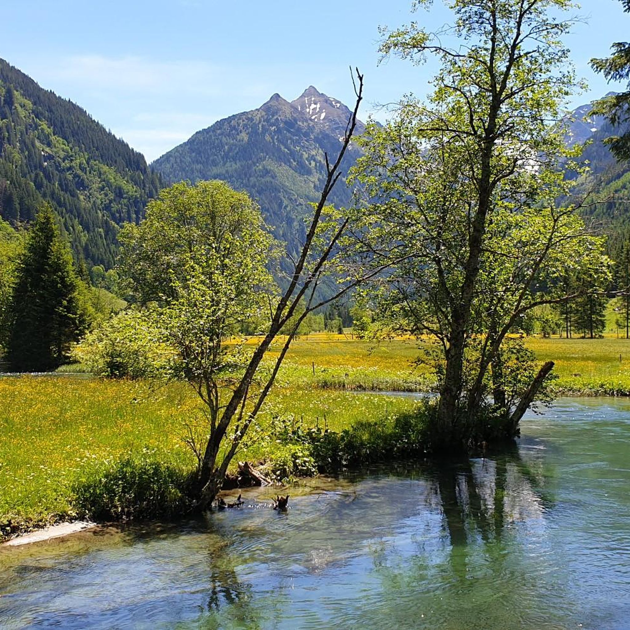
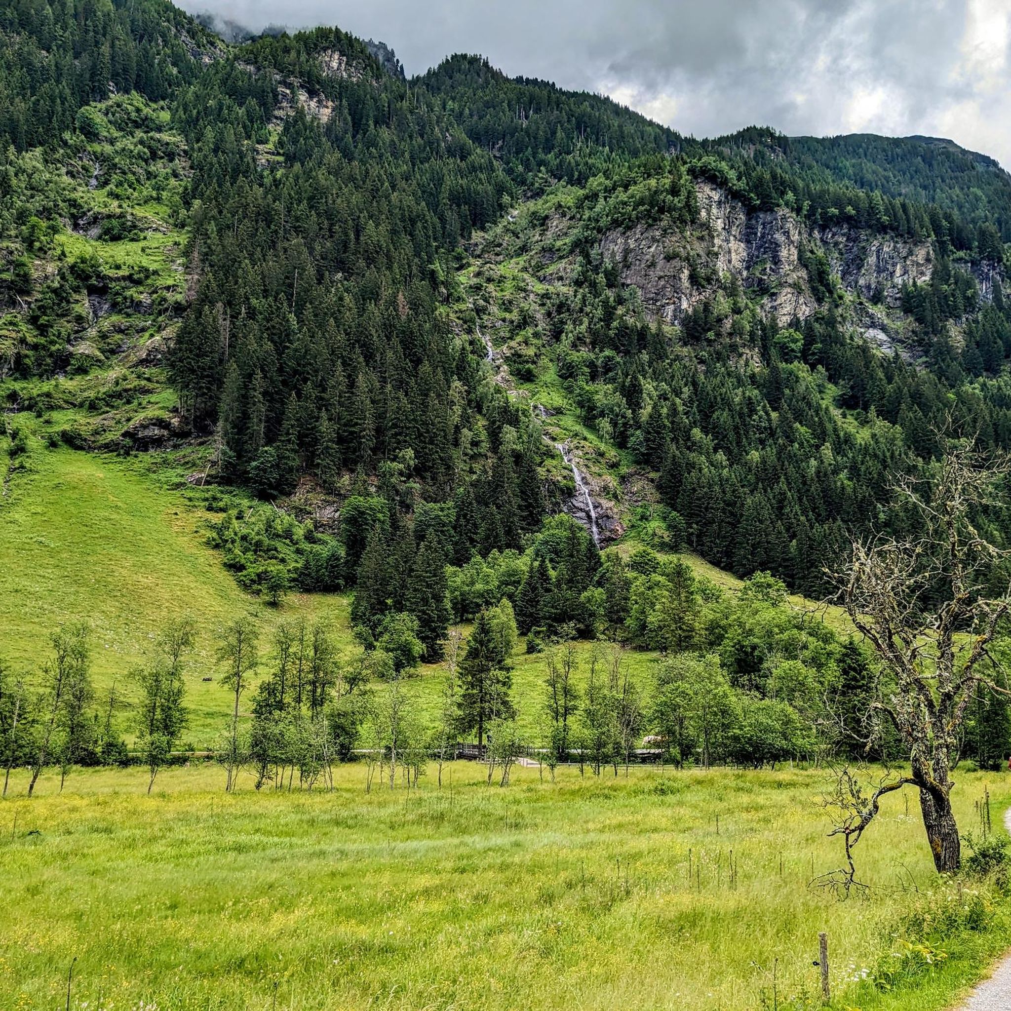
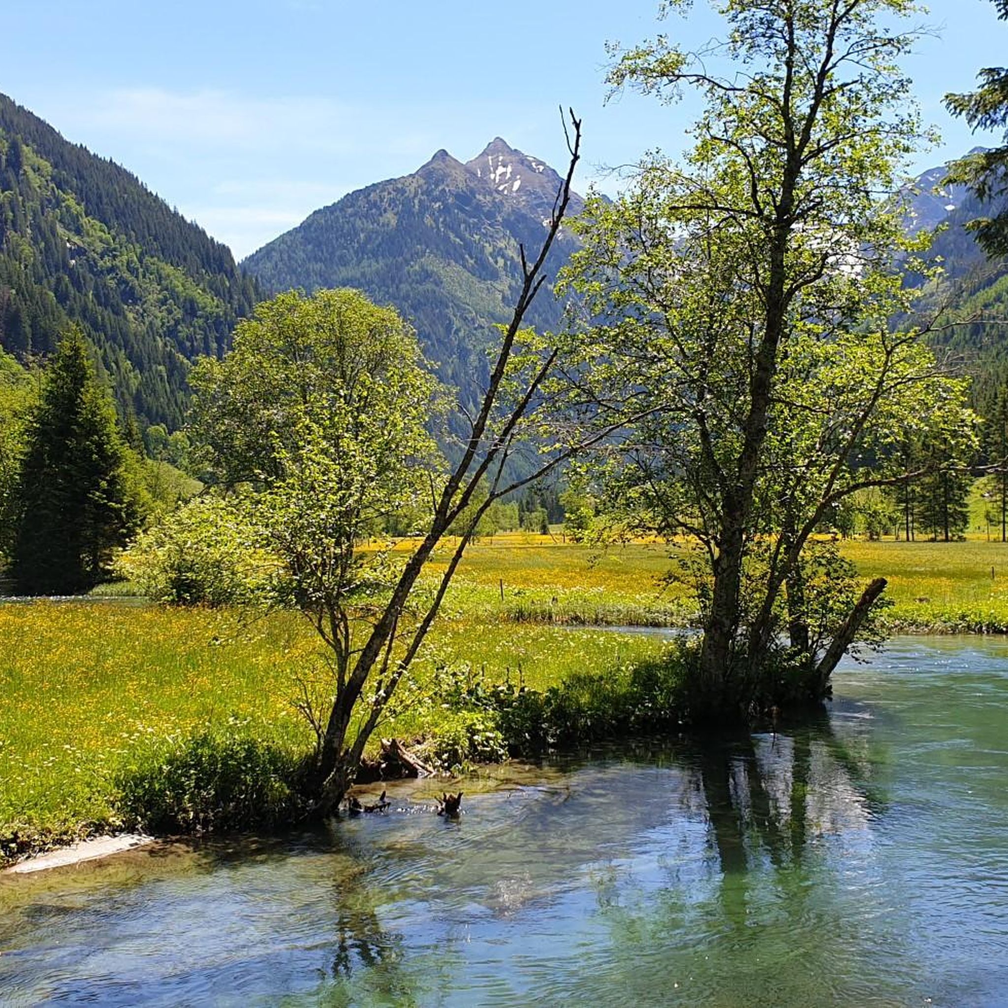
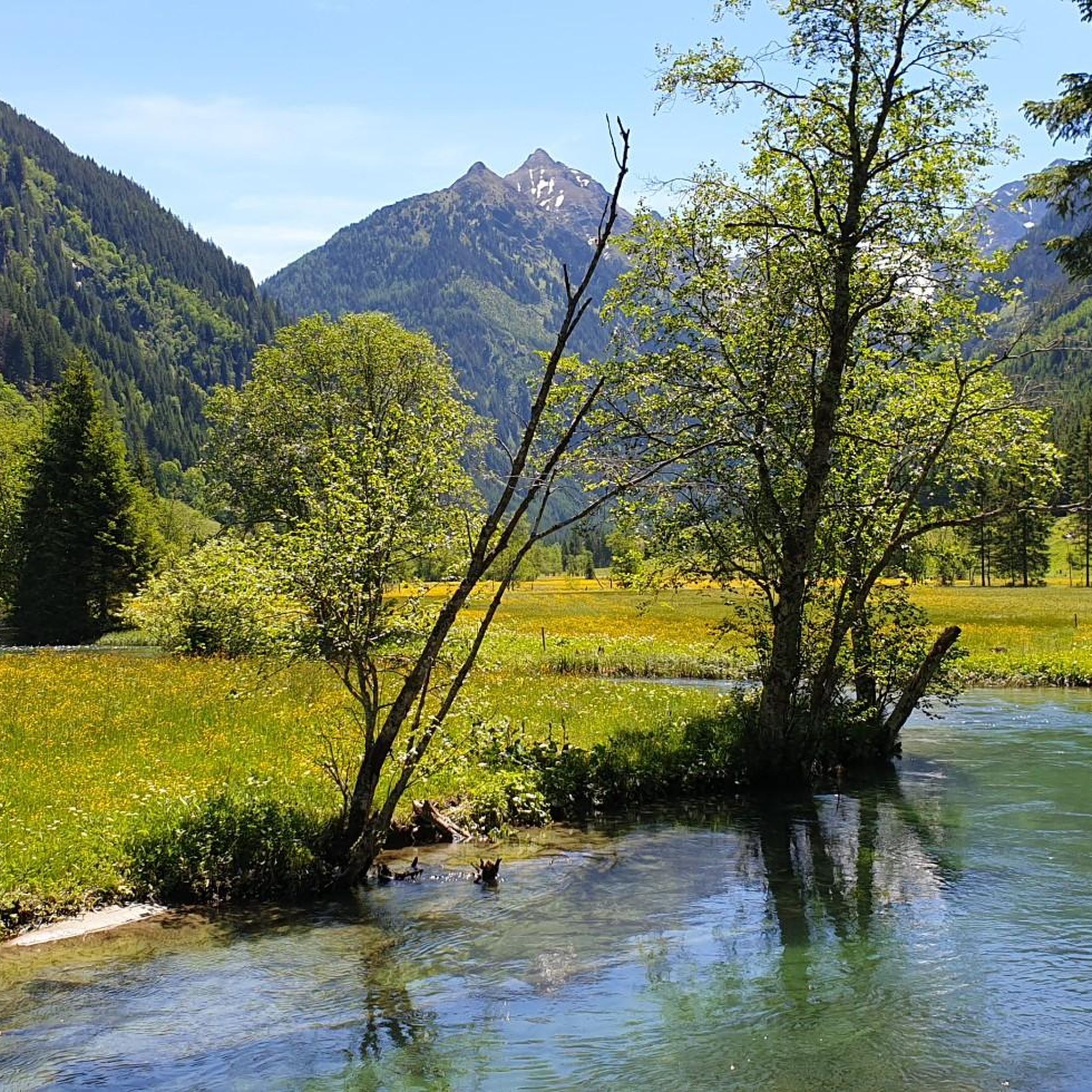
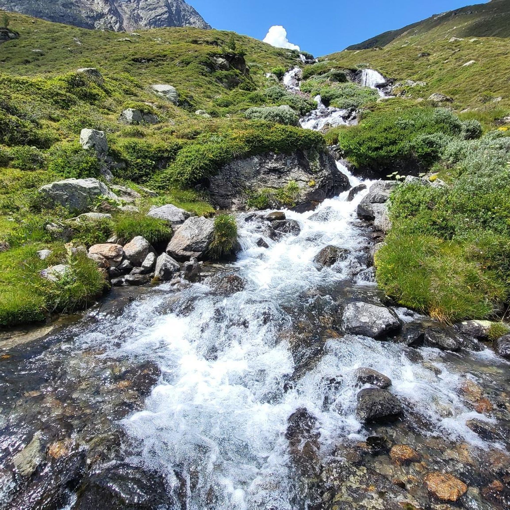
Jogging in Mitterberg offers a diverse landscape for runners, characterized by its valleys, gorges, and surrounding hills. The region features a mix of forest paths, riverside trails, and routes leading to waterfalls and alpine pastures. Elevation changes vary, providing options from gentle gradients to more challenging climbs.
Best jogging routes in Mitterberg
- The most popular jogging route is Talbach Waterfall – Talbach Gorge Trail loop from Untertalbach, a 4.5 miles (7.2 km) trail that takes 50 minutes to complete.…
Last updated: August 19, 2026
4.0
(8)
128
runners
7.24km
00:51
210m
210m
Moderate run. Good fitness required. Mostly paved surfaces. Suitable for all skill levels.
3.7
(3)
54
runners
8.27km
00:58
260m
260m
Moderate run. Good fitness required. Mostly paved surfaces. Suitable for all skill levels.

Sign up for free
5.0
(1)
43
runners
26.6km
03:07
720m
720m
Hard run. Very good fitness required. Sure-footedness, sturdy shoes and alpine experience required.
5.0
(2)
47
runners
20.0km
02:12
330m
330m
Hard run. Very good fitness required. Mostly paved surfaces. Suitable for all skill levels.
26
runners
11.3km
01:12
120m
120m
Moderate run. Good fitness required. Mostly paved surfaces. Suitable for all skill levels.
Get access to more routes and recommendations from other explorers.
Sign up for free
Already have an account?
Our route recommendations are based on thousands of hikes, rides, and runs completed by other people on komoot.
Start today with a free account
Your next adventure awaits.
Login or Signup

Tips from the Community

The 300-year-old, originally reconstructed farmhouse was rebuilt with careful consideration of its traditional rural origins and converted into a cozy refuge and inn. A house for every day and every occasion!https://www.schladming-dachstein.at/de/info-und-service/regionale-infrastruktur/pois/DAC/b5e7a16a-c499-478d-be01-f9f77dddd9ad/-die-landalm----original-steirisches-wirtshaus-im-untertal-ort
0
0

The Talbach Gorge is a wonderful place for a walk. Even the youngest visitors will enjoy it: there are exciting stories on information boards and fantastic light installations to discover.
1
0

Whether running or hiking - there is something for everyone here, and nature is not neglected either
2
0

The pedestrian zone itself is not a particular highlight, but there are some smaller highlights here, such as old shop signs or the old town hall.
2
0

The town hall of Schladming is a former hunting and residential palace of the Brazilian branch of the Saxe-Coburg and Gotha family and is a listed building. In 1884, Prince Ludwig August of Saxe-Coburg, widowed son-in-law of the Brazilian Emperor Pedro II, commissioned the Coburg court architect Georg Konrad Rothbart to build a hunting lodge in Schladming. After the fall of the Brazilian monarchy in 1889, the palace became the preferred residence of Ludwig August's son, August Leopold of Saxe-Coburg and his wife Karoline of Austria-Tuscany. In 1917, Schladming became the family's main residence. In 1940, the town of Schladming bought the house and turned it into the town hall.
1
0

Great climbing facility with a large suspension bridge directly on and above the water.
3
0

The Riesach Falls are truly impressive waterfalls in the Schladming Tauern, not far from Schladming. The two most famous waterfalls there are the Small and Large Riesach Falls, with the Large one having an impressive drop of around 70 meters. A truly impressive natural spectacle! The falls are part of the "Wild Waters" theme trail and were rightly declared a natural monument in 2012. The entire area is simply breathtaking and is definitely one of the natural treasures of this region. The Riesach Falls consist of the Large and Small Riesach Waterfalls, which are located in the Höllschlucht Gorge. The gorge begins at an altitude of 1079 meters near the Untere Gfölleralm or the Almgasthaus Riesachfall and ends at an altitude of 1338 meters in the area of the Riesachsee or the Obere Gfölleralm. The water for these impressive waterfalls comes from the approximately 7 km long Riesachbach, which joins the Steinriesenbach directly after the gorge and then flows through the entire Untertal as the Untertalbach before finally flowing into the Enns. The falls up to the Grosser Riesachfall are accessible via the Riesachfallsteig. And that's not all! In 2006, the area between the Grosser Riesachwasserfall and the upper end of the gorge was also opened up to tourists. An alpine trail about one kilometer long called "Alpinsteig Höll" or "Alpinsteig durch die Höll" was created there, which offers a 50 meter long suspension bridge as a special attraction. A real adventure! Source: www.familienurlaub-info.com/wandern-mit-kindern/oesterreich/steiermark/riesachfall-riesachsee/
6
0
The Riesach Falls are truly impressive waterfalls in the Schladming Tauern, not far from Schladming. The two most famous waterfalls there are the Small and Large Riesach Falls, with the Large one having an impressive drop of around 70 meters. A truly impressive natural spectacle! The falls are part of the "Wild Waters" theme trail and were rightly declared a natural monument in 2012. The entire area is simply breathtaking and is definitely one of the natural treasures of this region. The Riesach Falls consist of the Large and Small Riesach Waterfalls, which are located in the Höllschlucht Gorge. The gorge begins at an altitude of 1079 meters near the Untere Gfölleralm or the Almgasthaus Riesachfall and ends at an altitude of 1338 meters in the area of the Riesachsee or the Obere Gfölleralm. The water for these impressive waterfalls comes from the approximately 7 km long Riesachbach, which joins the Steinriesenbach directly after the gorge and then flows through the entire Untertal as the Untertalbach before finally flowing into the Enns. The falls up to the Grosser Riesachfall are accessible via the Riesachfallsteig. And that's not all! In 2006, the area between the Grosser Riesachwasserfall and the upper end of the gorge was also opened up to tourists. An alpine trail about one kilometer long called "Alpinsteig Höll" or "Alpinsteig durch die Höll" was created there, which offers a 50 meter long suspension bridge as a special attraction. A real adventure! Source: www.familienurlaub-info.com/wandern-mit-kindern/oesterreich/steiermark/riesachfall-riesachsee/
8
0
Frequently Asked Questions
How many running routes are available in Mitterberg?
Mitterberg offers a wide selection of running routes, with over 220 trails recorded on komoot. These routes cater to various fitness levels, ranging from easy valley runs to more challenging ascents through gorges and alpine pastures.
Are there easy running trails suitable for beginners in Mitterberg?
Yes, Mitterberg has 17 easy running routes perfect for beginners or those looking for a relaxed jog. These trails typically feature gentle gradients and scenic views, making them ideal for a leisurely pace.
What is the typical length of running trails in Mitterberg?
Running trails in Mitterberg vary significantly in length. For example, the popular Talbach Waterfall – Talbach Gorge Trail loop from Untertalbach is about 4.5 miles (7.2 km), while longer routes like the Great Riesach Falls – Riesachsee loop from Untertalbach extend to over 15 miles (25 km).
Are there family-friendly running routes in Mitterberg?
Many of the easy and moderate routes in Mitterberg are suitable for families, especially those along the valley floors or through less challenging terrain. The region's diverse landscape, including waterfalls and gorges, provides engaging scenery for all ages.
Can I bring my dog on running trails in Mitterberg?
Generally, dogs are welcome on many trails in Mitterberg, but it's always advisable to check local regulations, especially in nature reserves or protected areas. Keep your dog on a leash and ensure you clean up after them to maintain the natural environment for everyone.
When is the best time of year to go running in Mitterberg?
The spring, summer, and autumn months are ideal for running in Mitterberg, offering pleasant temperatures and vibrant scenery. During these seasons, you can fully enjoy the region's waterfalls, alpine pastures, and forest paths. Winter running is also possible, but some higher elevation trails may be snow-covered.
Are there running options available in Mitterberg during winter?
Yes, Mitterberg offers winter running opportunities, particularly on lower-lying and well-maintained paths. However, be prepared for snow and ice, especially on trails at higher elevations or through gorges. It's recommended to check local conditions and wear appropriate gear.
What can I see along the running routes in Mitterberg?
Mitterberg's running routes offer diverse natural attractions. You can explore the stunning Untertalbach Wild Waters, pass by the unique Toteisboden in Rohrmoos-Untertal, or follow the scenic Talbach river. Many routes also lead through moorland and towards alpine huts like Waldhäuslalm.
Are there running routes with cafes or refreshment stops nearby?
Yes, some running routes in Mitterberg pass by or lead to traditional alpine huts and cafes where you can take a break and refuel. For instance, the Tettermoor – Waldhäuslalm loop from Steilhangmoor im Untertal includes the Waldhäuslalm, which is a popular stop for refreshments.
What do other runners enjoy the most about jogging in Mitterberg?
The komoot community highly rates running in Mitterberg, with an average score of 4.5 stars from over 160 reviews. Runners often praise the region's diverse landscape, including scenic gorges, waterfalls, and varied terrain like moorland and alpine pastures, which offer options for all ability levels.
Are there circular running routes available in Mitterberg?
Many of the running routes in Mitterberg are designed as loops, allowing you to start and finish at the same point. Examples include the Talbach Gorge Trail – Salzburger Gate (Schladming) loop from Untertalbach, which offers a complete circuit through varied scenery.
What is the difficulty level of running trails in Mitterberg?
Mitterberg's running trails range from easy to difficult. There are 17 easy routes, 125 moderate routes, and 86 difficult routes. This variety ensures that both casual joggers and experienced trail runners can find suitable challenges, from gentle valley paths to demanding ascents with significant elevation changes.
Most popular routes in Mitterberg
Most popular attractions in Mitterberg

Get inspired with the komoot mobile app


Explore more
Browse the best Running Trails & Routes in other regions.
