The best walks and hikes in Mitterberg
4.5
(21220)
108,803
hikers
737
hikes
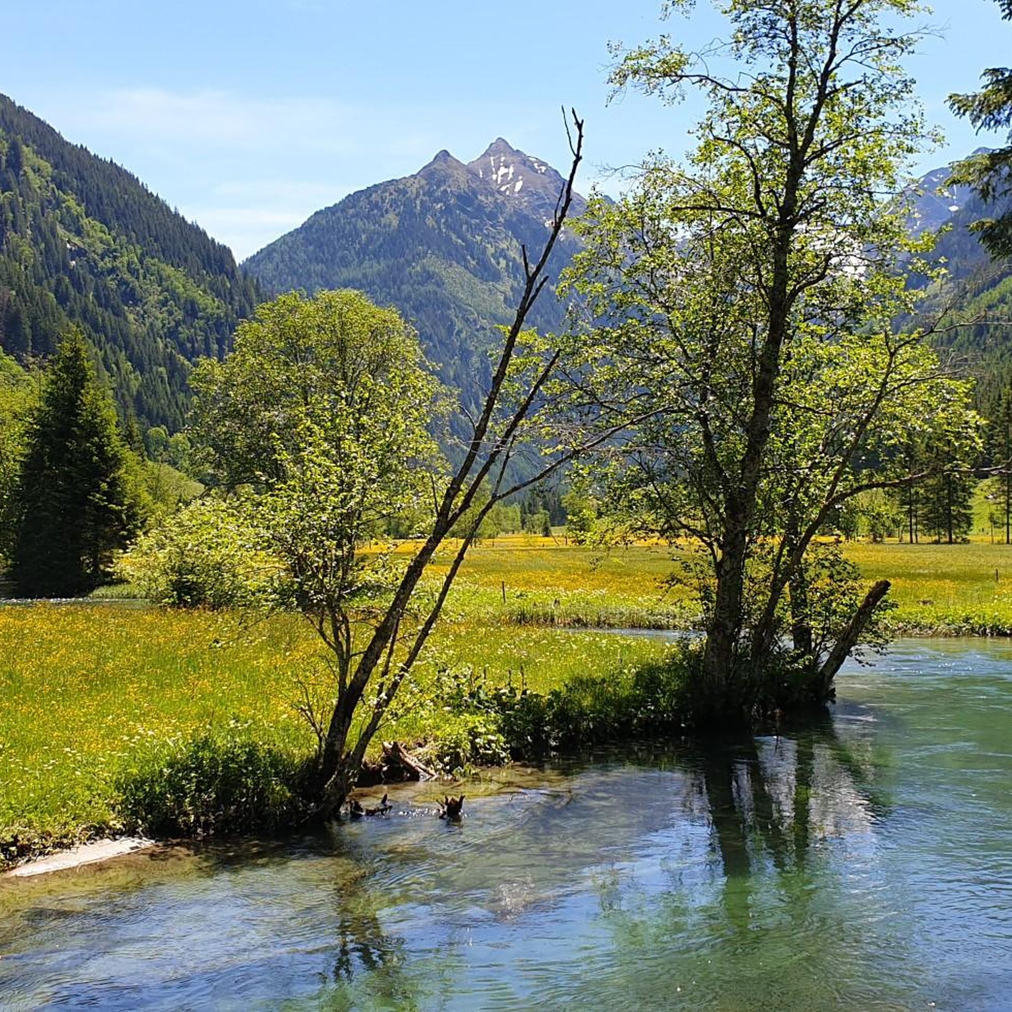
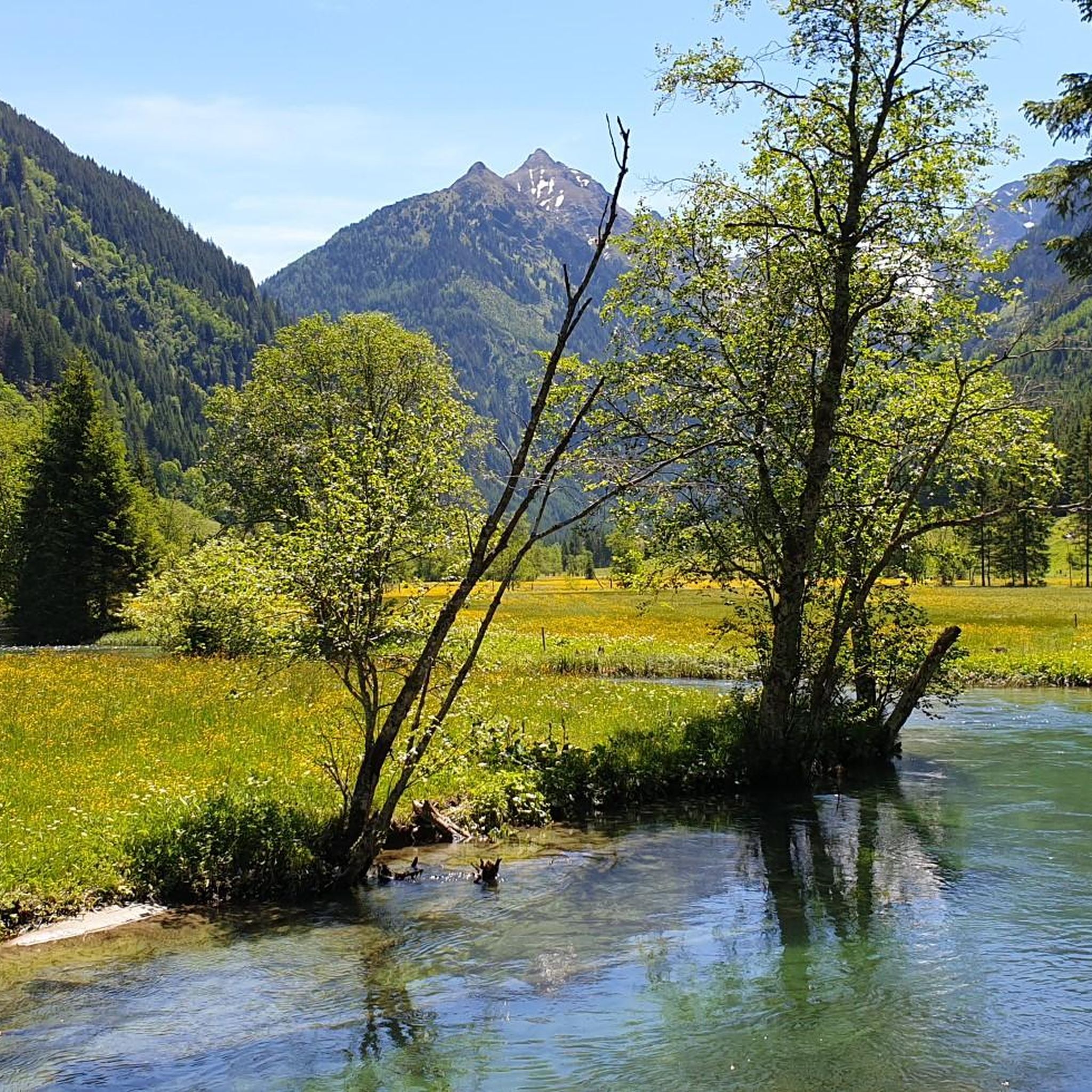
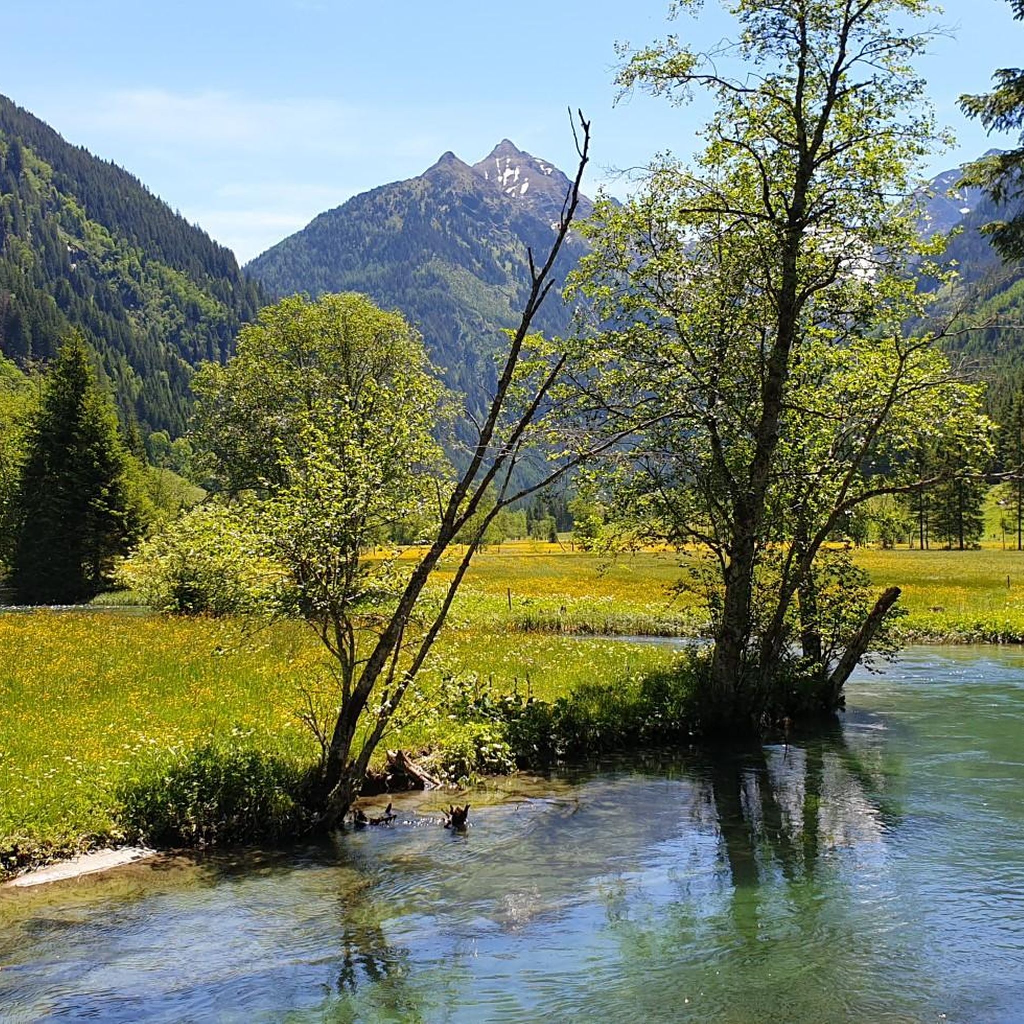
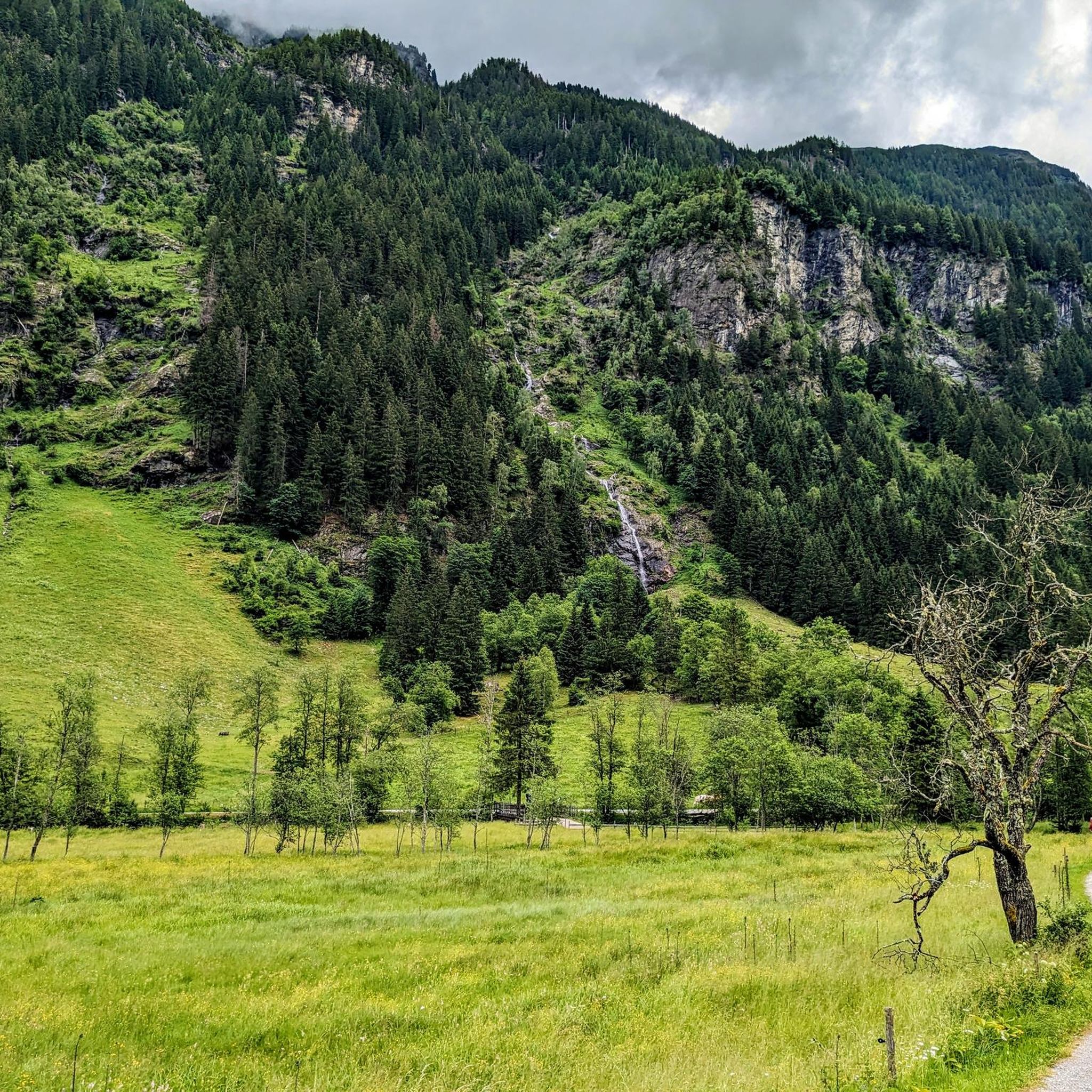
Hiking in Mitterberg features diverse landscapes characterized by mountainous terrain, lush alpine pastures, and dense forests. The region provides extensive panoramic views of surrounding peaks and valleys. Trails often lead through gorges and across elevated positions, contributing to varied hiking experiences.
Best hiking trails in Mitterberg
- The most popular hiking route is Great Riesach Falls – View of Untertal Valley loop from Riesachfall, a 5.4 miles (8.7 km) moderate trail that takes 2 hours 51 minutes to complete, offering…
Last updated: October 12, 2026
4.7
(110)
489
hikers
21.2km
06:26
600m
600m
Hard hike. Very good fitness required. Mostly accessible paths. Sure-footedness required.
4.9
(1197)
5,890
hikers
8.77km
02:52
320m
320m
Moderate hike. Good fitness required. Mostly accessible paths. Sure-footedness required.

4.9
(367)
1,698
hikers
17.8km
05:42
640m
640m
Hard hike. Very good fitness required. Mostly accessible paths. Sure-footedness required.
4.8
(36)
213
hikers
Moderate hike. Good fitness required. Easily-accessible paths. Suitable for all skill levels.
4.7
(260)
1,102
hikers
21.6km
06:08
440m
440m
Hard hike. Very good fitness required. Easily-accessible paths. Suitable for all skill levels.
Get access to more routes and recommendations from other explorers.
Already have an account?
Our route recommendations are based on thousands of hikes, rides, and runs completed by other people on komoot.
Start today with a free account
Your next adventure awaits.

Tips from the Community

Beautiful views are offered from the forest path you are returning on.
0
0

Beautiful nature. Here you can switch off and go for a wonderful hike!
0
0
Cozy cabin. Delicious food and friendly hosts.
0
0

Great climbing facility with a large suspension bridge directly on and above the water.
3
0

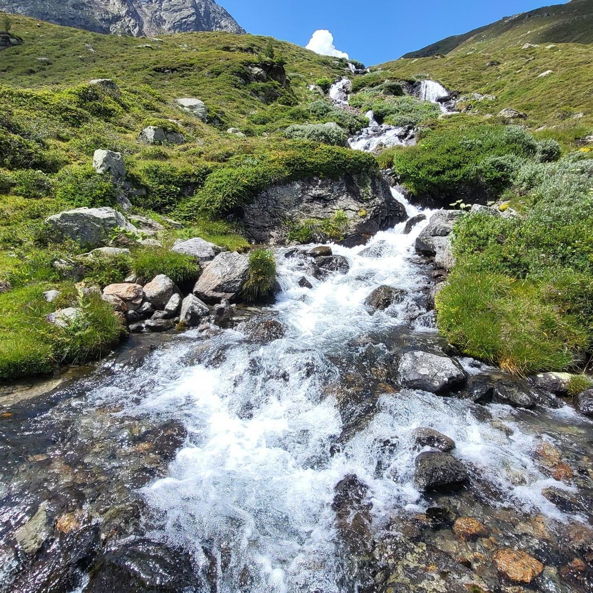
The Riesach Falls are truly impressive waterfalls in the Schladming Tauern, not far from Schladming. The two most famous waterfalls there are the Small and Large Riesach Falls, with the Large one having an impressive drop of around 70 meters. A truly impressive natural spectacle! The falls are part of the "Wild Waters" theme trail and were rightly declared a natural monument in 2012. The entire area is simply breathtaking and is definitely one of the natural treasures of this region. The Riesach Falls consist of the Large and Small Riesach Waterfalls, which are located in the Höllschlucht Gorge. The gorge begins at an altitude of 1079 meters near the Untere Gfölleralm or the Almgasthaus Riesachfall and ends at an altitude of 1338 meters in the area of the Riesachsee or the Obere Gfölleralm. The water for these impressive waterfalls comes from the approximately 7 km long Riesachbach, which joins the Steinriesenbach directly after the gorge and then flows through the entire Untertal as the Untertalbach before finally flowing into the Enns. The falls up to the Grosser Riesachfall are accessible via the Riesachfallsteig. And that's not all! In 2006, the area between the Grosser Riesachwasserfall and the upper end of the gorge was also opened up to tourists. An alpine trail about one kilometer long called "Alpinsteig Höll" or "Alpinsteig durch die Höll" was created there, which offers a 50 meter long suspension bridge as a special attraction. A real adventure! Source: www.familienurlaub-info.com/wandern-mit-kindern/oesterreich/steiermark/riesachfall-riesachsee/
6
0
The Riesach Falls are truly impressive waterfalls in the Schladming Tauern, not far from Schladming. The two most famous waterfalls there are the Small and Large Riesach Falls, with the Large one having an impressive drop of around 70 meters. A truly impressive natural spectacle! The falls are part of the "Wild Waters" theme trail and were rightly declared a natural monument in 2012. The entire area is simply breathtaking and is definitely one of the natural treasures of this region. The Riesach Falls consist of the Large and Small Riesach Waterfalls, which are located in the Höllschlucht Gorge. The gorge begins at an altitude of 1079 meters near the Untere Gfölleralm or the Almgasthaus Riesachfall and ends at an altitude of 1338 meters in the area of the Riesachsee or the Obere Gfölleralm. The water for these impressive waterfalls comes from the approximately 7 km long Riesachbach, which joins the Steinriesenbach directly after the gorge and then flows through the entire Untertal as the Untertalbach before finally flowing into the Enns. The falls up to the Grosser Riesachfall are accessible via the Riesachfallsteig. And that's not all! In 2006, the area between the Grosser Riesachwasserfall and the upper end of the gorge was also opened up to tourists. An alpine trail about one kilometer long called "Alpinsteig Höll" or "Alpinsteig durch die Höll" was created there, which offers a 50 meter long suspension bridge as a special attraction. A real adventure! Source: www.familienurlaub-info.com/wandern-mit-kindern/oesterreich/steiermark/riesachfall-riesachsee/
8
0

Great hike for those hungry for knowledge
0
0
Beautiful hike for those hungry for knowledge
0
0
Frequently Asked Questions
How many hiking trails are available in Mitterberg?
Mitterberg offers a wide selection of hiking trails, with over 720 routes available. These trails cater to various skill levels, from easy walks to more challenging treks.
What kind of terrain can I expect when hiking in Mitterberg?
Hiking in Mitterberg features diverse landscapes characterized by mountainous terrain, lush alpine pastures, and dense forests. Many trails offer extensive panoramic views of surrounding peaks and valleys, and some even lead through gorges like the Barbaraschlucht.
What do other hikers say about the trails in Mitterberg?
The trails in Mitterberg are highly regarded by the komoot community, boasting an average rating of 4.6 stars from over 18,500 reviews. Hikers frequently praise the varied terrain, stunning views, and well-marked paths.
Are there easy hiking options for beginners or casual walkers in Mitterberg?
Yes, Mitterberg has plenty of easy hiking options. There are over 270 routes classified as easy, perfect for beginners, families, or those looking for a relaxed stroll through the scenic landscape.
Are there challenging hikes for experienced trekkers in Mitterberg?
For experienced trekkers, Mitterberg offers over 100 difficult routes. These trails often involve significant elevation changes and longer distances, such as the View of Untertal Valley – Riesachsee loop from Riesachfall, which covers 18.1 km with over 600 meters of ascent.
Can I find circular hiking routes in Mitterberg?
Yes, many of Mitterberg's trails are designed as circular routes, allowing you to start and end at the same point. Examples include the Great Riesach Falls – View of Untertal Valley loop from Riesachfall and the Talbachklamm Gorge – Talbach Waterfall loop from Untertalbach.
Are there any family-friendly hikes in Mitterberg?
Mitterberg offers many trails suitable for families, often featuring easier gradients and interesting natural attractions. The region's diverse landscapes and well-marked paths make it enjoyable for children and adults alike.
What natural features or landmarks can I see along the hiking trails?
Mitterberg's trails often lead to impressive natural features. You can explore the Untertalbach Wild Waters, the Toteisboden in Rohrmoos-Untertal, or the scenic Talbach. The region is also known for its panoramic viewpoints, offering expansive vistas of the surrounding mountains and valleys.
Are there any historical sites or cultural trails in Mitterberg?
Historically, some Mitterberg areas were significant for copper mining, with a heritage dating back around 4,000 years to the Bronze Age. This history is sometimes reflected in trails like the 'Mitterberg ore trail,' which combines hiking with educational insights into the region's past.
What is the best time of year to go hiking in Mitterberg?
Mitterberg is beautiful throughout the warmer months, typically from spring to autumn, when trails are clear and alpine pastures are lush. Even in winter, cleared roads and snow-covered landscapes offer opportunities for winter walks, though caution is advised for icy conditions.
Are there options for food and drink along the trails?
Yes, some trails in Mitterberg pass by mountain huts or guesthouses where you can stop for refreshments. For example, the Waldhäuslalm and Sondlalm are popular spots for hikers to rest and enjoy local cuisine.
Is it possible to hike in Mitterberg with a dog?
Many trails in Mitterberg are dog-friendly, allowing you to enjoy the natural beauty with your canine companion. It's always recommended to keep dogs on a leash, especially in areas with livestock or wildlife, and to check specific trail regulations beforehand.
Are there any hikes that feature waterfalls?
Yes, Mitterberg is home to impressive waterfalls. The Talbachklamm Gorge – Talbach Waterfall loop from Untertalbach is a popular route specifically designed to showcase gorge and waterfall scenery, including the Great Riesach Falls.
Most popular routes in Mitterberg
Most popular attractions in Mitterberg

Get inspired with the komoot mobile app


Explore more
Browse the best Hikes in other regions.
