The best road cycling routes in Dunkelsteinerwald
4.5
(704)
20,599
riders
706
rides
Road cycling in Dunkelsteinerwald features a landscape characterized by dense forests, rolling hills, and proximity to the Danube River. The region offers varied terrain, from riverside paths to routes with moderate climbs through wooded areas. Road cyclists can expect a mix of gentle gradients and more challenging ascents, providing diverse experiences within this natural setting.
Best road cycling routes in Dunkelsteinerwald
- The most popular road cycling route is Steiner Gate, Krems – Danube Riverside Cycle Path loop from Paudorf,…
Last updated: July 9, 2026
4.4
(19)
280
riders
39.7km
01:42
250m
250m
Easy road ride. Great for any fitness level. Mostly well-paved surfaces and easy to ride.
5.0
(3)
106
riders
Moderate road ride. Good fitness required. Some segments of this route may be unpaved and difficult to ride.

Sign up for free
4.7
(3)
49
riders
29.9km
01:26
370m
370m
Moderate road ride. Good fitness required. Mostly well-paved surfaces and easy to ride.
31
riders
148km
06:21
1,130m
1,130m
Hard road ride. Very good fitness required. Some segments of this route may be unpaved and difficult to ride.
33
riders
13.6km
00:37
130m
120m
Easy road ride. Great for any fitness level. Mostly well-paved surfaces and easy to ride.
Get access to more routes and recommendations from other explorers.
Sign up for free
Already have an account?
Our route recommendations are based on thousands of hikes, rides, and runs completed by other people on komoot.
Start today with a free account
Your next adventure awaits.
Login or Signup
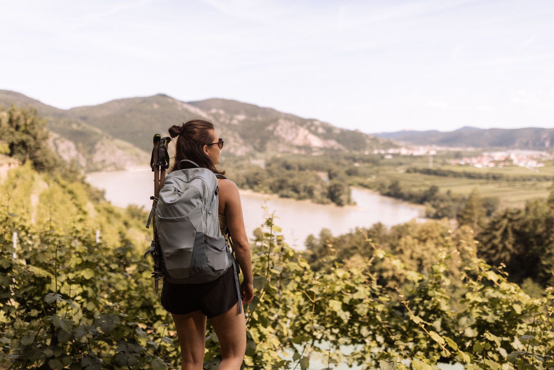
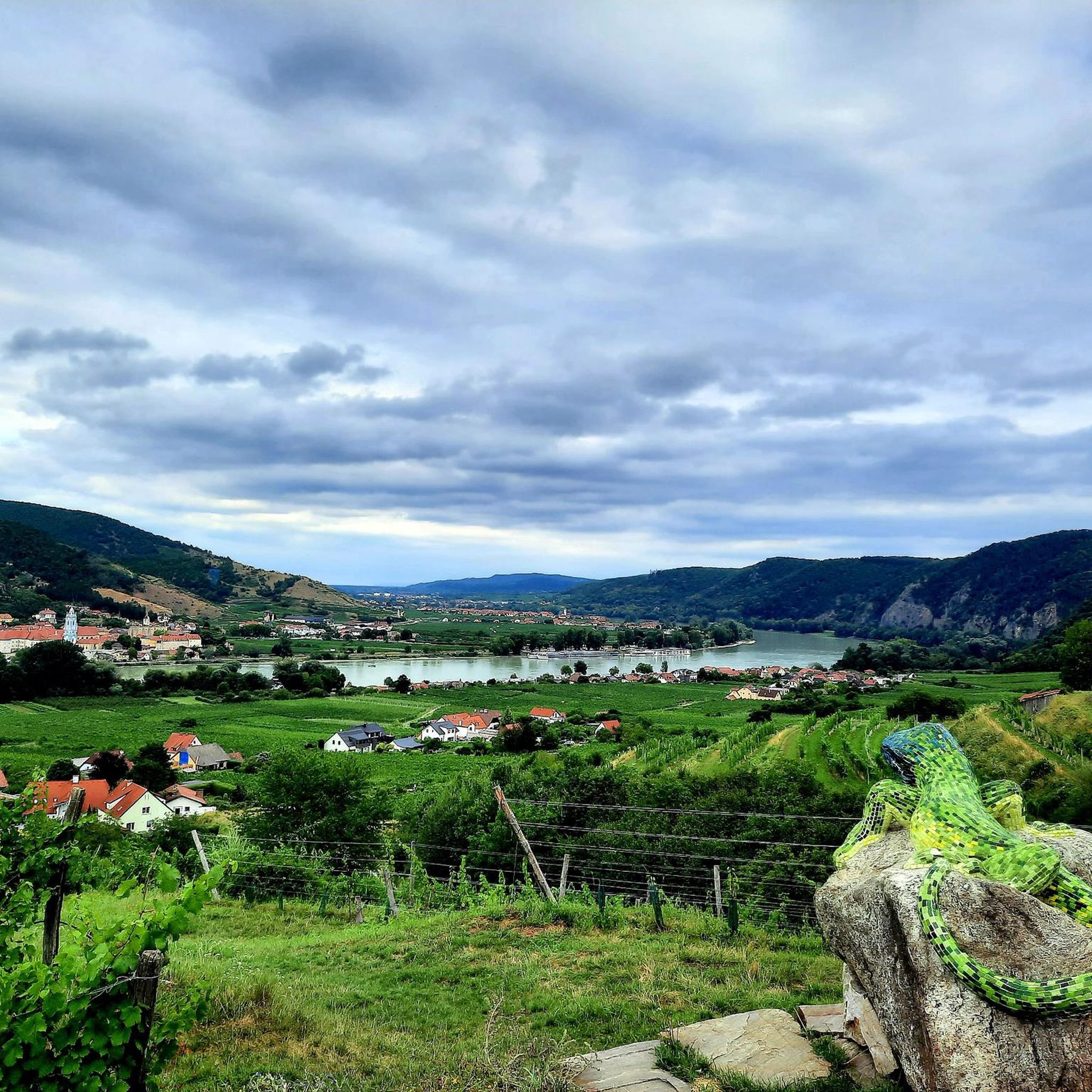
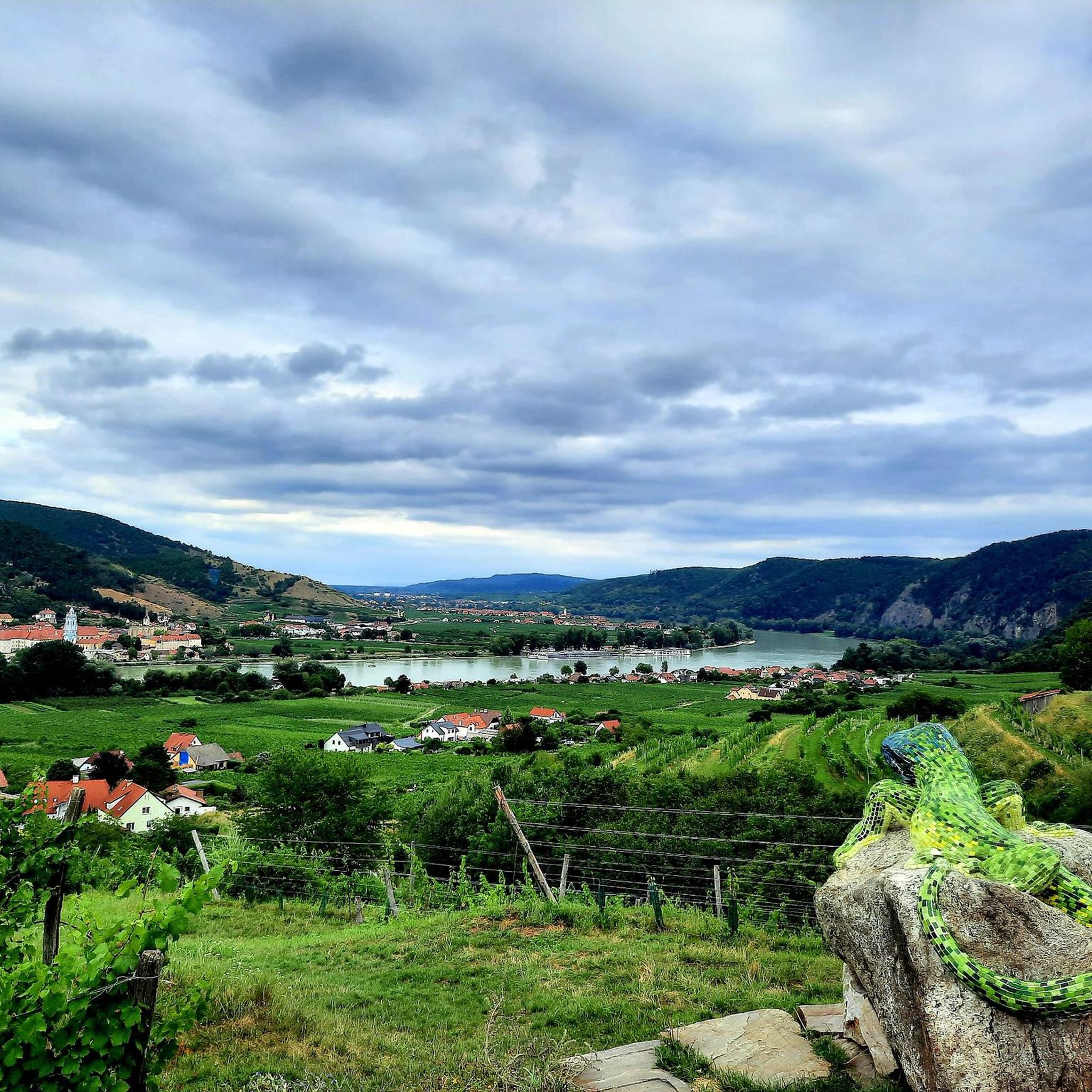
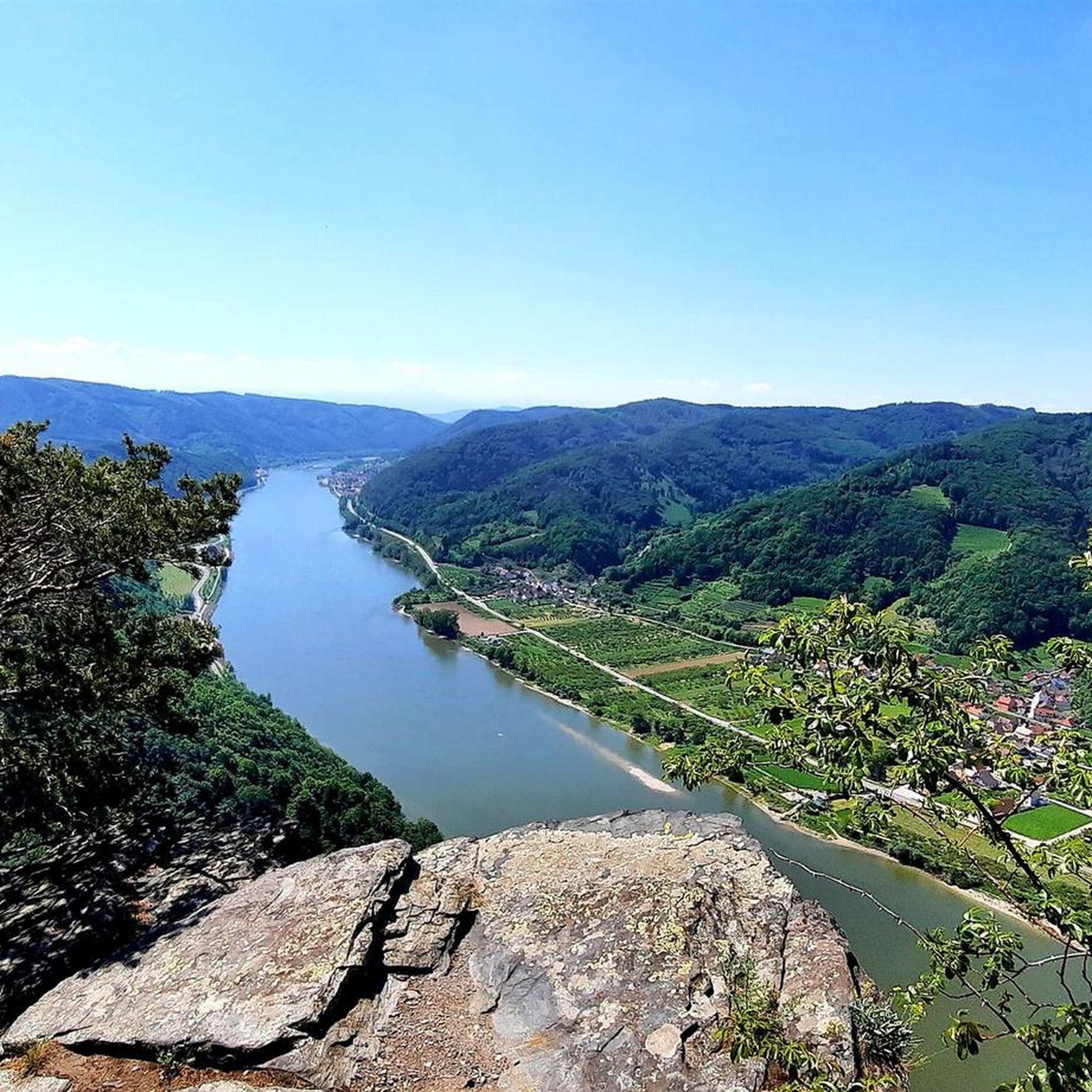

Other adventures in Dunkelsteinerwald

Tips from the Community

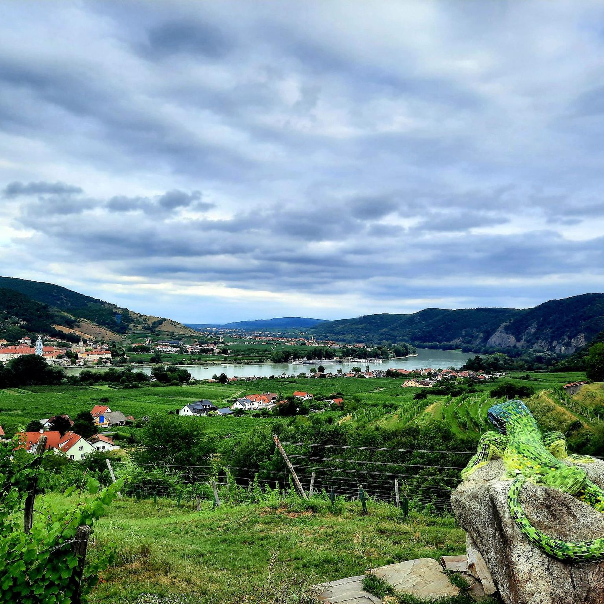
Strengthen yourself at Strandgut and enjoy the view of Dürnstein
0
0

beautiful bike route with fantastic scenery
0
0

Very nice place to pause, with everything cyclists need.
0
0

The rocks along the Aggsteiner Straße (B33) on the southern bank of the Danube are among the most impressive and geologically exciting sections of the Wachau. When you drive or hike there, you move through the so-called "Dunkelsteinerwald Massif". The rocks, which drop almost vertically into the Danube here, consist primarily of Gföhler Gneiss and Dunkelsteiner Serpentinite. This rock is extremely hard and resistant. While the Danube was able to wash out the valley in other areas, it broke its teeth on the hard rocks here, which leads to the characteristic bottleneck near Aggsbach-Dorf. Pay attention to the dark, almost black-greenish parts in the rock - this is often the serpentinite, which is typical for the Dunkelsteinerwald.
0
0

A view of Göttweig is always nice.
0
0
The view of Göttweig is always beautiful.
0
0
The view of Stein and Krems is very beautiful.
0
0

Pleasant sunny rest area next to the bridge
1
0
Frequently Asked Questions
What is the general difficulty level of road cycling routes in Dunkelsteinerwald?
Dunkelsteinerwald offers a diverse range of road cycling routes. You'll find everything from easy, flat sections along the Danube to more challenging routes with significant climbs through the forested hills. Out of over 760 routes, 132 are rated as easy, 446 as moderate, and 187 as difficult, ensuring options for all skill levels.
Are there easy road cycling routes suitable for beginners in Dunkelsteinerwald?
Yes, Dunkelsteinerwald has several easy road cycling routes perfect for beginners or those seeking a relaxed ride. A popular choice is the Steiner Gate, Krems – Danube Riverside Cycle Path loop from Paudorf, which is 24.6 miles (39.6 km) long and offers scenic views along the Danube with minimal elevation gain. Another easy option is the Parish Church of Hundsheim – Schaubackstube Krenn loop from Dürnstein.
Where can I find more challenging road cycling routes in Dunkelsteinerwald?
For experienced road cyclists looking for a challenge, Dunkelsteinerwald provides routes with substantial elevation gain. The Großer Viehofner See – Annaberg Pass (976 m) loop from Paudorf is a difficult 91.5 miles (147.2 km) route with over 1,100 meters of climbing. Another moderate yet demanding option is the Climb to Schenkenbrunn – Spitz cable ferry loop from Friedrichfelsen, which includes significant elevation gain traversing forested hills.
What is the typical length of road cycling routes in Dunkelsteinerwald?
Route lengths in Dunkelsteinerwald vary significantly. You can find shorter loops, such as the Parish Church of Hundsheim – Schaubackstube Krenn loop from Dürnstein at 8.1 miles (13.1 km), or longer, more challenging tours like the Großer Viehofner See – Annaberg Pass (976 m) loop from Paudorf, which spans over 91 miles (147 km).
Are there circular road cycling routes in Dunkelsteinerwald?
Yes, many road cycling routes in Dunkelsteinerwald are designed as loops, allowing you to start and finish at the same point. Examples include the popular Steiner Gate, Krems – Danube Riverside Cycle Path loop from Paudorf and the Mautern Bridge – View of Krems an der Donau loop from Unterbergern.
What can I see along the road cycling routes in Dunkelsteinerwald?
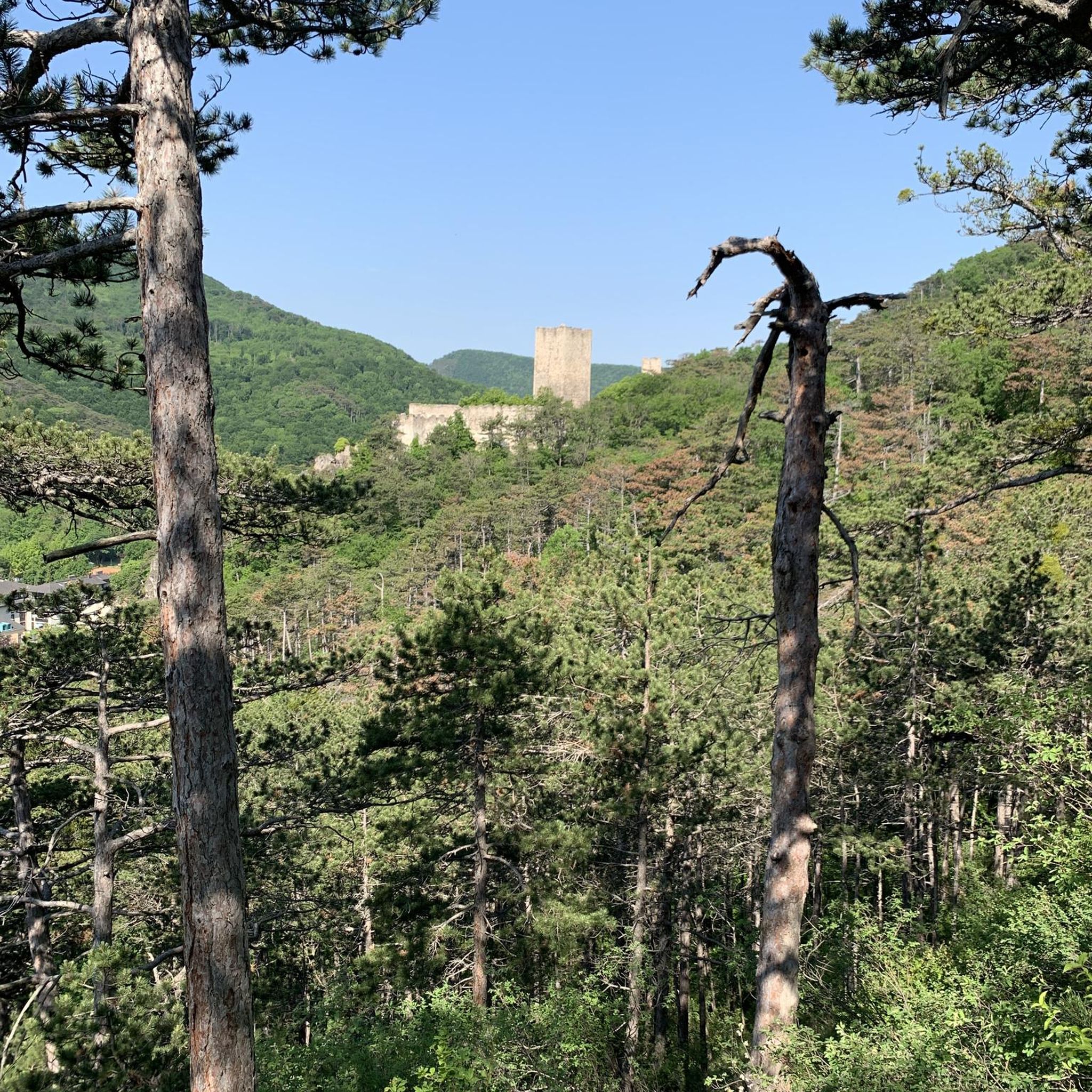
Road cycling routes in Dunkelsteinerwald often pass by historical sites and natural viewpoints. You can encounter impressive structures like the Hohenegg Castle Ruins or the iconic Aggstein Castle Ruins. For panoramic views, routes may lead you near highlights such as the Seekopf Observation Tower (671 m) or the High Rock.
What do other road cyclists enjoy the most about road cycling in Dunkelsteinerwald?
The road cycling experience in Dunkelsteinerwald is highly rated by the komoot community, with an average score of 4.5 stars from over 600 reviews. Reviewers often praise the region's varied terrain, which combines dense woodlands and rolling hills with scenic sections along the Danube River. The mix of gentle gradients and more challenging ascents is frequently highlighted as a key appeal.
Is Dunkelsteinerwald suitable for family-friendly road cycling?
While some routes in Dunkelsteinerwald feature significant climbs, there are also easier, flatter sections, particularly along the Danube River, that can be suitable for families. These paths offer a more relaxed cycling experience away from heavy traffic. Always check the route's difficulty and elevation profile to ensure it matches your family's abilities.
What is the best time of year for road biking in Dunkelsteinerwald?
The best time for road biking in Dunkelsteinerwald is typically from spring through autumn. During these seasons, the weather is generally mild, and the natural scenery, from blooming landscapes to vibrant fall foliage, is at its most beautiful. Winter can bring colder temperatures and potentially icy conditions, especially on higher elevation routes, making it less ideal for road cycling.
Can I reach the road cycling routes in Dunkelsteinerwald by public transport?
Many towns and villages within or near Dunkelsteinerwald, such as Krems an der Donau, Paudorf, and Dürnstein, are accessible by public transport, including regional trains and buses. From these locations, you can often directly access road cycling routes or easily cycle to a starting point. It's advisable to check local public transport schedules and bike carriage policies before your trip.
Are there cafes or places to stop for refreshments along the road cycling routes?
Yes, the region around Dunkelsteinerwald, particularly in towns and villages along the Danube and within the cycling routes, offers various opportunities for refreshments. You'll find traditional Austrian Gasthäuser, cafes, and bakeries where you can stop for a break, enjoy local cuisine, or refill your water bottles. Planning your route with komoot allows you to see points of interest and potential stops along the way.
What are the road conditions like in Dunkelsteinerwald during winter?
During winter, road conditions in Dunkelsteinerwald can be challenging for road cycling. Temperatures drop, and there's a higher chance of ice and snow, especially in shaded forest sections and on higher ground. While some main roads might be cleared, many smaller roads and paths may remain slippery or impassable. It's generally recommended to exercise caution or opt for other activities during the colder months.
Most popular routes in Dunkelsteinerwald
Most popular attractions in Dunkelsteinerwald

Get inspired with the komoot mobile app


Explore more
Browse the best Road cycling routes in other regions.
