The 7 Most Amazing Peaks around Maxdorf
Best mountain peaks around Maxdorf are found in the surrounding region, as Maxdorf itself is situated at a low elevation of 95 meters in the Rhein-Pfalz-Kreis of Rhineland-Palatinate, Germany. The area features a generally flat terrain. While Maxdorf does not contain significant natural peaks, the nearby Palatinate Forest offers various elevated points and viewpoints. This guide focuses on these natural features and landmarks in the Maxdorf surroundings.
Best mountain peaks around Maxdorf
- The most popular mountain peaks is Schlagbaum Trail…
Last updated: October 4, 2026
Schlagbaum Trail Junction
Highlight • Trail
The quickest and easiest way is via the Weilach (Leistadt district).
From there, many hikes and bike tours are possible in all directions.
Towards …
Translated by Google •
Tip by

Michaelsberg (Ludwigshafen)
Highlight • Viewpoint
Translated by Google •
Tip by

Sign up now to discover places like this
Get recommendations on the best single tracks, peaks, & plenty of other exciting outdoor places.
Machmeesberg (125 m) – Highest Point of Ludwigshafen
Highlight • Summit
Translated by Google •
Tip by
Gronau Water Castle Memorial
Highlight • Monument
Translated by Google •
Tip by

View from Monte Scherbelino
Highlight • Viewpoint
Translated by Google •
Tip by

Start today with a free account
Your next adventure awaits.
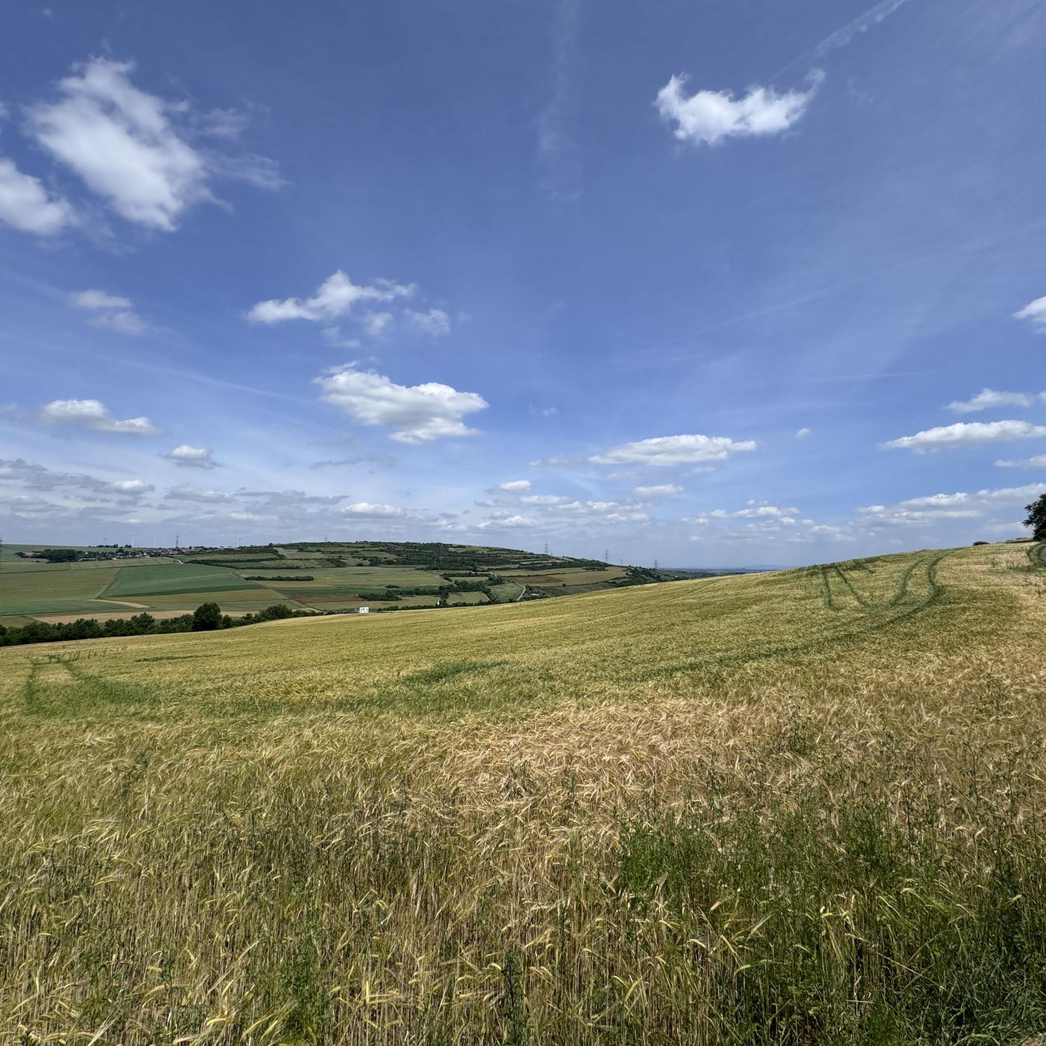
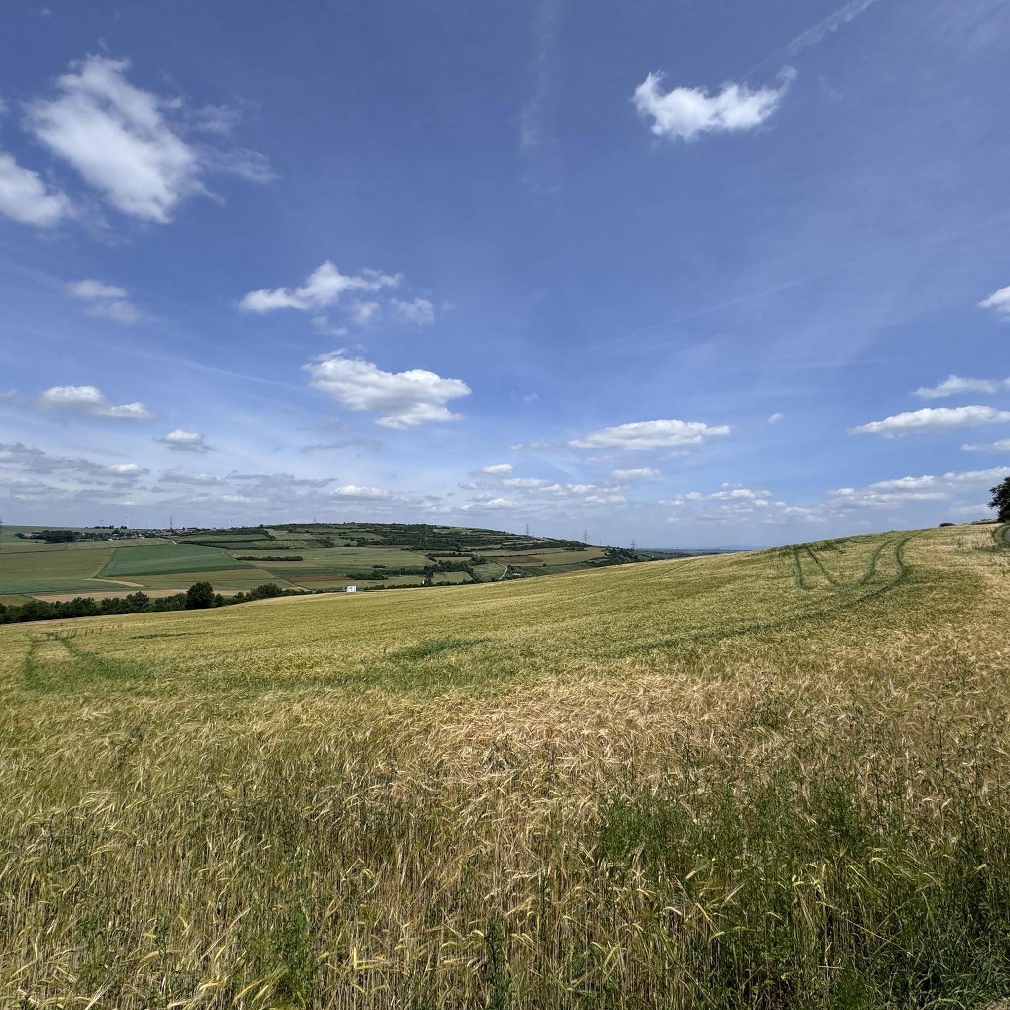
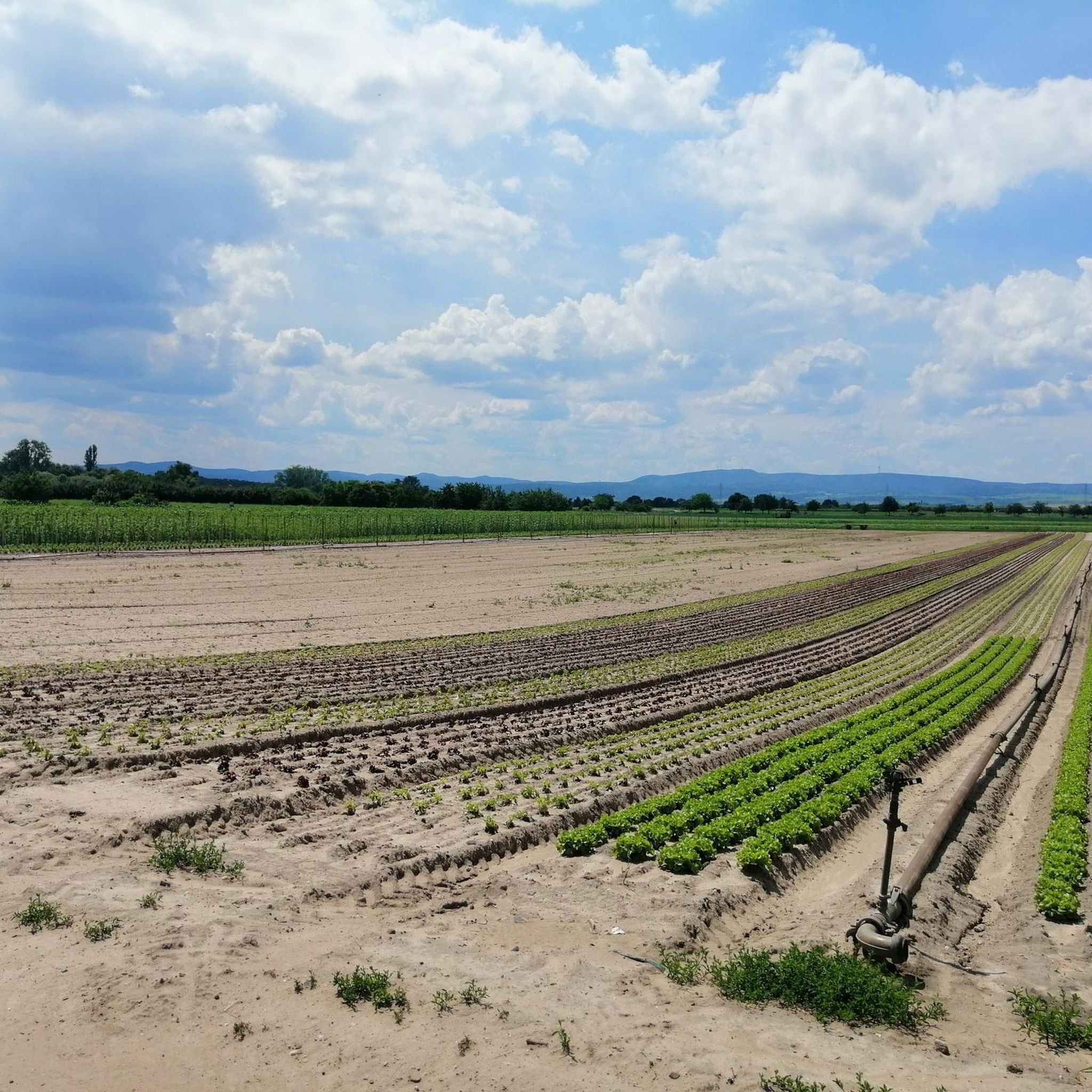
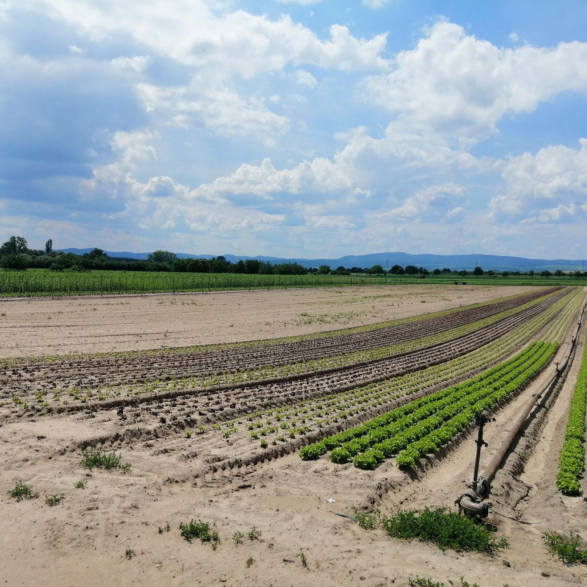
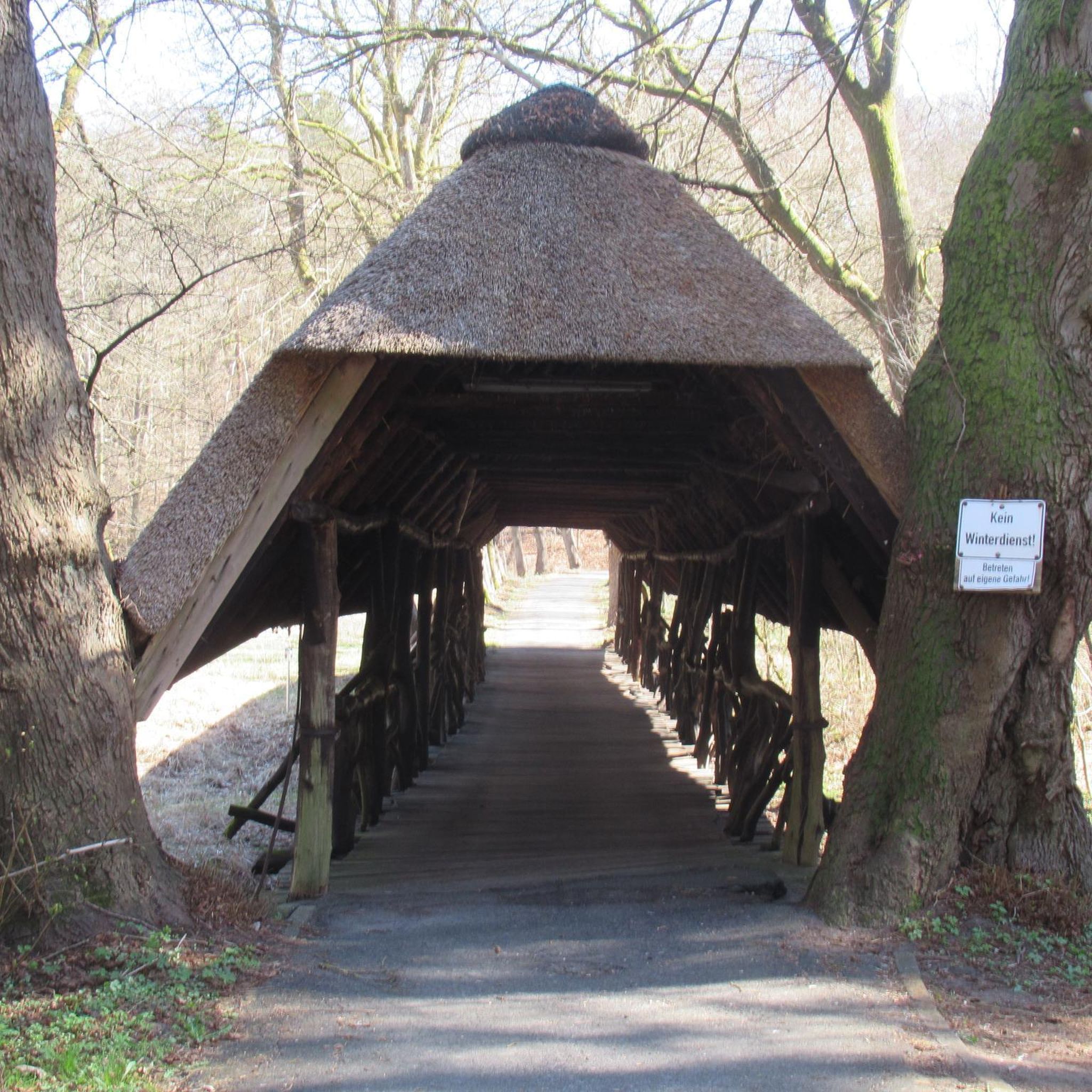
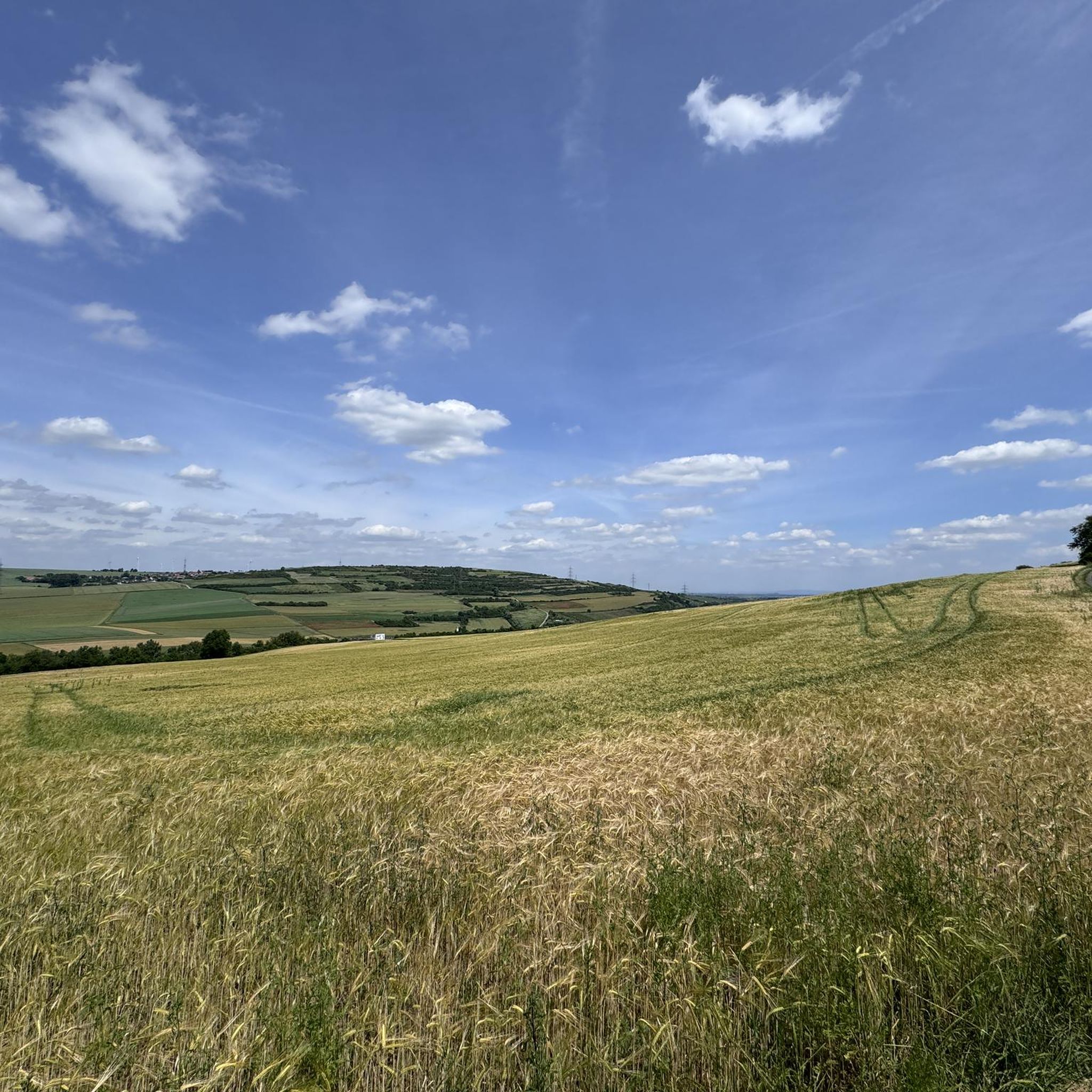
Tips from the Community

Monte Scherbelino is a small hill which, at 117m, is the highest elevation in Frankenthal.
0
0

From the barrier, easy-to-drive forest roads branch off in all directions.
0
0


If you know your way around or have a local guide, you have many interesting options from the impact area. E.g. Trail down to Hardenburg, or trail up to the Bismarck Tower.
3
0

Big crossroads. From here you can take well-signposted hiking trails to Lindesmannsruhe, Bismarck Tower, Bad Dürkheim,... Thanks to the tables and benches, there is also a good opportunity to take a break.
2
0

Hiking cross in the Palatinate Forest The quickest and easiest way is via the Weilach (Leistadt district). From there, many hikes and bike tours are possible in all directions. Towards Teufelstein, quickly, easily and slightly uphill. Lower Gaistal, Herzogweiher always downhill, also plain and simple. Upper Gaistal, Hardenburg via a beautiful, longer hiking trail, but also challenging for mountain bikers. The Bismarck Tower can be reached via two paths. Hikers should use the forest highway, as the (single) trail is often used as a downhill slope... so mountain bikers must be expected. Heidenfels and Lindemannsruhe are other hotspots on the mountain. Tip: Hikers and mountain bikers should respect each other
6
0

The memorial stone is privately owned, access is permitted, unfortunately there is no bank to linger.
1
0

The highest peak, 125 m, in LU, a pile of rubbish from the WW2 inferno. From up here, the "climber" has a great all-round view of the Odenwald and more... The whole nature reserve is beautiful, ideal for city dwellers and right on your doorstep.
1
0
Frequently Asked Questions
What kind of elevated points and viewpoints can I explore around Maxdorf?
While Maxdorf itself is flat, the surrounding region, particularly the Palatinate Forest, offers various elevated points and viewpoints. You can find man-made monuments like the Flag Tower, Bad Dürkheim, which provides an all-round view over the Rhine plain. Other spots include natural high points and former rubble mountains like Michaelsberg (Ludwigshafen), offering views of Ludwigshafen and towards the Palatinate.
Are there hiking trails to these elevated points near Maxdorf?
Yes, many of the elevated points are integrated into hiking networks. For example, Schlagbaum Trail Junction is a significant crossroads in the Palatinate Forest with well-signposted hiking trails leading to various destinations like Lindesmannsruhe and the Bismarck Tower. You can also find numerous routes for different activities in the area, such as those listed in the Running Trails around Maxdorf guide.
What is the difficulty level of hiking trails around Maxdorf's elevated points?
The difficulty varies. Many trails leading to viewpoints and elevated spots are accessible and suitable for a range of hikers. For instance, the Schlagbaum Trail Junction offers paths that can be quick and easy, while others are more challenging, especially for mountain bikers. You can find routes with moderate to difficult ratings in guides like Gravel biking around Maxdorf and MTB Trails around Maxdorf.
Are the elevated points and trails around Maxdorf suitable for families?
Yes, several spots are family-friendly. Schlagbaum Trail Junction is noted as family-friendly, offering tables and benches for breaks. Michaelsberg (Ludwigshafen) and Machmeesberg (125 m) – Highest Point of Ludwigshafen are also considered family-friendly viewpoints, often serving as destinations for excursions on foot or by bike.
Can I bring my dog on the trails around these elevated points?
While specific dog-friendly designations for each elevated point are not always explicit, the Palatinate Forest, where many of these spots are located, generally welcomes dogs on trails. It's always advisable to keep dogs on a leash, especially in nature reserves or areas with wildlife, and to respect other trail users.
Are there historical landmarks among the elevated points near Maxdorf?
Yes, the region features historical landmarks. The Flag Tower, Bad Dürkheim, also known as "Kaffeemühlchen," is a historical watchtower. Additionally, the Gronau Water Castle Memorial marks the site of a former moated castle, offering a glimpse into the area's past.
What outdoor activities can I do near these elevated points?
Beyond hiking and walking to viewpoints, the area around Maxdorf is excellent for various outdoor activities. You can explore numerous routes for gravel biking, mountain biking, and running. Guides like Gravel biking around Maxdorf, MTB Trails around Maxdorf, and Running Trails around Maxdorf offer detailed routes for these sports.
What do visitors enjoy most about the elevated points around Maxdorf?
Visitors particularly enjoy the panoramic views, especially from spots like the Flag Tower, Bad Dürkheim, which offers beautiful all-round vistas over the Rhine plain and the Palatinate Forest. The well-signposted hiking opportunities and the chance to take a break at places like Schlagbaum Trail Junction are also highly appreciated. The community has shared over 1000 photos and given more than 1000 upvotes for these locations.
Are there any easy or beginner-friendly elevated points to visit?
Yes, some elevated points are quite accessible. Michaelsberg (Ludwigshafen) and Machmeesberg (125 m) – Highest Point of Ludwigshafen, both former rubble mountains, are relatively easy to reach and offer good views without strenuous climbs, making them suitable for beginners or a leisurely outing.
What is the best time to visit the elevated points and trails near Maxdorf?
The Palatinate Forest region is generally pleasant for outdoor activities from spring through autumn. Spring brings blooming nature, summer offers warm weather for longer excursions, and autumn provides beautiful foliage. Winter can also be appealing for crisp walks, though some trails might be muddy or icy. Always check local weather conditions before heading out.
Where can I find circular walks around the elevated points?
Many of the hiking trails in the Palatinate Forest are designed as circular routes, allowing you to start and end at the same point. While specific circular routes for each highlight aren't detailed here, the extensive network of trails accessible from points like Schlagbaum Trail Junction provides ample opportunities to create or follow circular walks of varying lengths and difficulties.
Most popular routes around Maxdorf
Most popular attractions around Maxdorf

Get inspired with the komoot mobile app


Explore more
See even more amazing summits around Maxdorf with these guides:
