The best walks and hikes around Maxdorf
4.4
(2370)
10,619
hikers
39
hikes
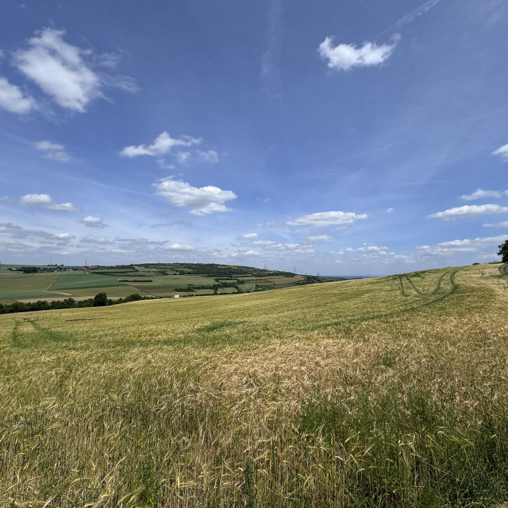
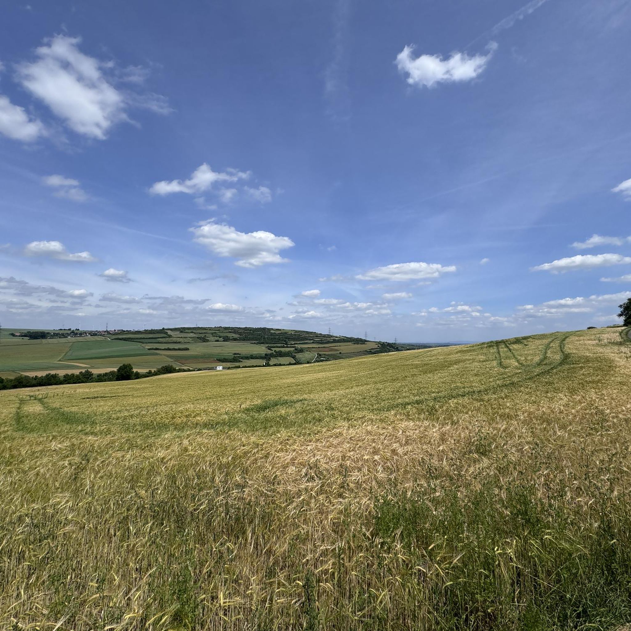
Hiking around Maxdorf offers diverse landscapes at the edge of the Palatinate Forest, characterized by vineyards and natural reserves. The terrain includes unique dune landscapes within the Großer Sand nature reserve and tranquil river scenery along the Maxdorfer Altrhein. The region features mostly flat to gently rolling hills, with minimal elevation changes, making it accessible for various hiking levels.
Best hiking trails around Maxdorf
- The most popular hiking route is Entenweiher loop from Maxdorf Süd, a 4.3 miles (6.9 km) trail that takes 1 hour 45 minutes to complete, circling the local duck pond.
- Another top favourite among local hikers is Sun Bench Ellerstadt – Entenweiher loop from Maxdorf Bahnhof, a moderate 8.2 miles (13.3 km) path that traverses vineyard landscapes and open fields.
- Local hikers also love the Isenach Bridge – Birkenheide Animal Park loop from Maxdorf Bahnhof, a 9.6 miles (15.5 km) trail leading through forested areas and past the Birkenheide Animal Park, often completed in about 3 hours 54 minutes.
- Hiking around Maxdorf is defined by the Palatinate Forest, surrounding vineyards, and the Großer Sand nature reserve. The network offers options for easy and moderate ability levels.
- The routes in Maxdorf are highly rated by the komoot community with an average score of 4.4 stars from over 2,100 reviews. More than 10,000 hikers have used komoot to explore Maxdorf's varied terrain.
Last updated: October 7, 2026
4.4
(10)
52
hikers
Easy hike. Great for any fitness level. Easily-accessible paths. Suitable for all skill levels.
4.8
(4)
26
hikers
Moderate hike. Good fitness required. Easily-accessible paths. Suitable for all skill levels.

4.3
(3)
21
hikers
Moderate hike. Good fitness required. Easily-accessible paths. Suitable for all skill levels.
4.1
(10)
32
hikers
Easy hike. Great for any fitness level. Easily-accessible paths. Suitable for all skill levels.
5.0
(1)
34
hikers
Easy hike. Great for any fitness level. Easily-accessible paths. Suitable for all skill levels.
Get access to more routes and recommendations from other explorers.
Already have an account?
Our route recommendations are based on thousands of hikes, rides, and runs completed by other people on komoot.
Start today with a free account
Your next adventure awaits.


Tips from the Community

New large sun lounger. Good idea as the benches here are often well occupied. - Unfortunately, there are already a lot of cigarette butts lying around here too. It's strange how long it takes to understand that cigarette butts have no place on the kitchen floor or in the great outdoors.
1
0

Very nicely and modernly designed
2
0

Nice new resting place with cool loungers.
2
0

Perfect for taking a short break in the sun.
4
0

Entry is free. However, please make a donation by placing it in the box at the entrance. Animal feed for the goats, donkeys, ponies, and fallow deer can be purchased in the park for €1.
0
0
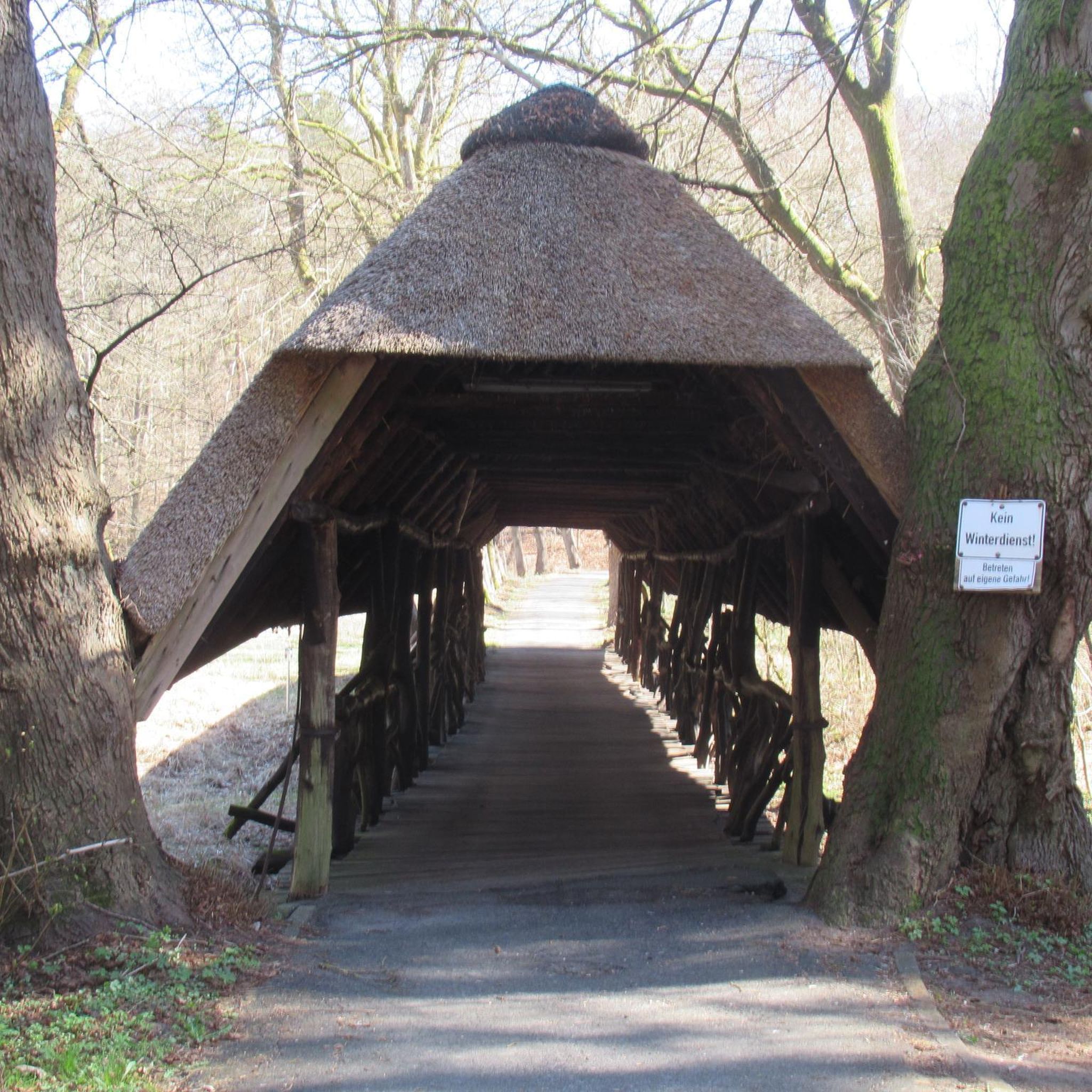
Old sandstone bridge over the Isenach.
0
0
Beautiful, small, quiet pond. You can also ride around it on a gravel bike or mountain bike. The paths are very narrow, though, and have a few roots. It's easy to get in the way of pedestrians.
1
0
Frequently Asked Questions
What types of hiking trails can I find around Maxdorf?
Maxdorf offers a variety of trails, from easy walks to moderate hikes. The landscape is diverse, featuring unique dune landscapes within the Großer Sand nature reserve, tranquil river scenery along the Maxdorfer Altrhein, and picturesque vineyards. You'll find mostly flat to gently rolling hills with minimal elevation changes, making the area accessible for various hiking levels.
Are there any easy or family-friendly hiking routes in Maxdorf?
Yes, Maxdorf is well-suited for easy walks and family outings, with over 30 easy routes available. A great option for families is the Maxdorf Forest Nature Trail, an educational path designed for children to learn about the forest environment. For a specific easy route, consider the Swimming Pool Palatinate – Bench by the Beehives loop from Maxdorf, which is just under 3 miles long.
What natural features or landmarks can I see while hiking in Maxdorf?
The region boasts several natural highlights. You can explore the unique dune landscape of the Großer Sand Nature Reserve, enjoy the tranquil Maxdorfer Altrhein river, or walk through the scenic vineyards. For specific landmarks, consider visiting the Flag Tower, Bad Dürkheim or the Michaelsberg (Ludwigshafen) viewpoint, both offering interesting sights near Maxdorf.
Are there any circular hiking routes in Maxdorf?
Many of the trails around Maxdorf are circular, providing convenient starting and ending points. An example is the Ochsengraben Stream – Isenach Bridge loop from Maxdorf, an easy 4.7-mile route that takes about 2 hours to complete.
What is the best time of year to go hiking in Maxdorf?
The best seasons for hiking in Maxdorf are spring and autumn. Spring brings flowering meadows and fresh greenery, while autumn captivates with its golden foliage and mild climate, offering beautiful scenery for your walks.
Are there any historical sites or castles to visit near Maxdorf?
Yes, the area around Maxdorf is rich in history. You can explore the Wachtenburg Castle Ruins or the Historic Old Town of Freinsheim. Another interesting site is the Gronau Water Castle Memorial.
What do other hikers say about the trails in Maxdorf?
The routes in Maxdorf are highly rated by the komoot community, with an average score of 4.4 stars from over 2,100 reviews. Hikers often praise the varied terrain, from vineyards to nature reserves, and the well-maintained paths suitable for different skill levels.
Are there any moderate hiking trails for those looking for a bit more challenge?
Yes, Maxdorf offers 5 moderate trails for those seeking a longer or slightly more challenging experience. One such route is the Sun Bench Ellerstadt – Entenweiher loop from Maxdorf Bahnhof, an 8.2-mile path that traverses vineyard landscapes and open fields.
Can I combine hiking with other activities in Maxdorf?
Absolutely! Beyond hiking, Maxdorf also provides bike paths that wind through its protected natural areas. The region's surrounding vineyards offer opportunities to experience the local Palatinate wine culture, making it easy to combine a hike with a visit to a local winery.
Are there any routes that pass by an animal park?
Yes, the Isenach Bridge – Birkenheide Animal Park loop from Maxdorf Bahnhof is a 9.6-mile trail that leads through forested areas and past the Birkenheide Animal Park, offering an interesting stop along your hike.
What is the general difficulty level of hiking in Maxdorf?
The hiking trails in Maxdorf are predominantly easy to moderate. Out of 35 available routes, 30 are classified as easy and 5 as moderate, with no difficult trails. This makes the area very accessible for a wide range of hikers.
Most popular attractions around Maxdorf

Get inspired with the komoot mobile app


Explore more
Browse the best Hikes in other regions.
