The best running trails in Gillersheimer Forst
4.4
(552)
4,342
runners
422
runs
Jogging in Gillersheimer Forst offers a network of running routes through a forested landscape known for outdoor activities. The region features varied terrain, suitable for both leisurely runs and more challenging efforts. While specific detailed descriptions of jogging trail surfaces are limited, the forest environment generally provides natural paths. A notable point of interest within the area is the historical Kirchenruine Leisenberg.
Best jogging routes in Gillersheimer Forst
- The most popular jogging route is Running loop from Katlenburg-Lindau, a…
Last updated: July 4, 2026
4.7
(3)
12
runners
5.58km
00:35
20m
20m
Moderate run. Good fitness required. Mostly paved surfaces. Suitable for all skill levels.
6
runners
6.91km
00:44
90m
90m
Moderate run. Good fitness required. Mostly paved surfaces. Suitable for all skill levels.

Sign up for free
2
runners
10.2km
01:04
70m
70m
Moderate run. Good fitness required. Mostly paved surfaces. Suitable for all skill levels.
5.0
(7)
6
runners
5.21km
00:34
20m
20m
Moderate run. Good fitness required. Mostly paved surfaces. Suitable for all skill levels.
3.0
(1)
6
runners
5.67km
00:38
120m
120m
Moderate run. Good fitness required. Mostly paved surfaces. Suitable for all skill levels.
Get access to more routes and recommendations from other explorers.
Sign up for free
Already have an account?
Our route recommendations are based on thousands of hikes, rides, and runs completed by other people on komoot.
Start today with a free account
Your next adventure awaits.
Login or Signup
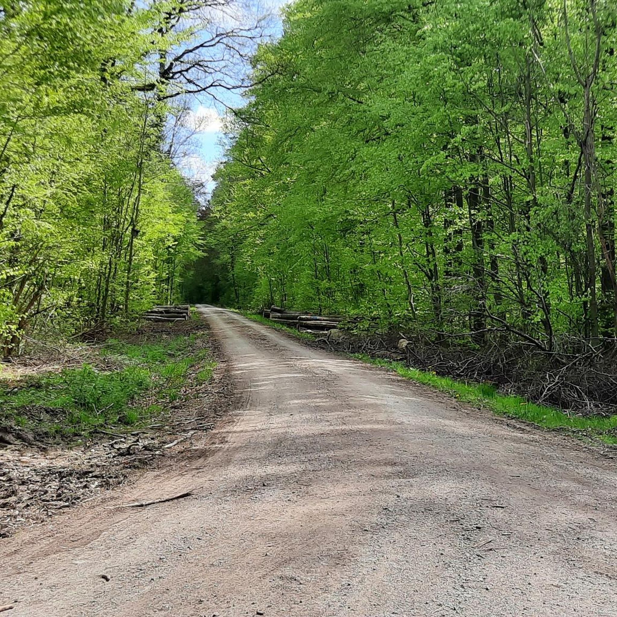
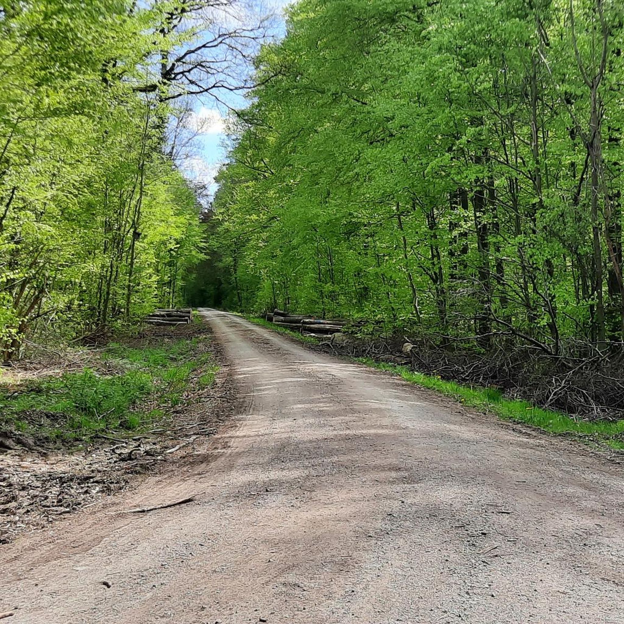
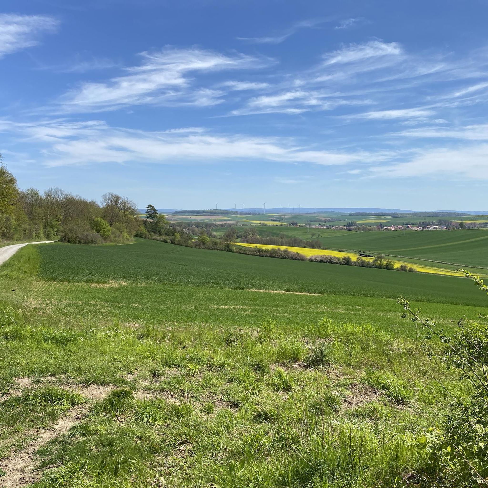
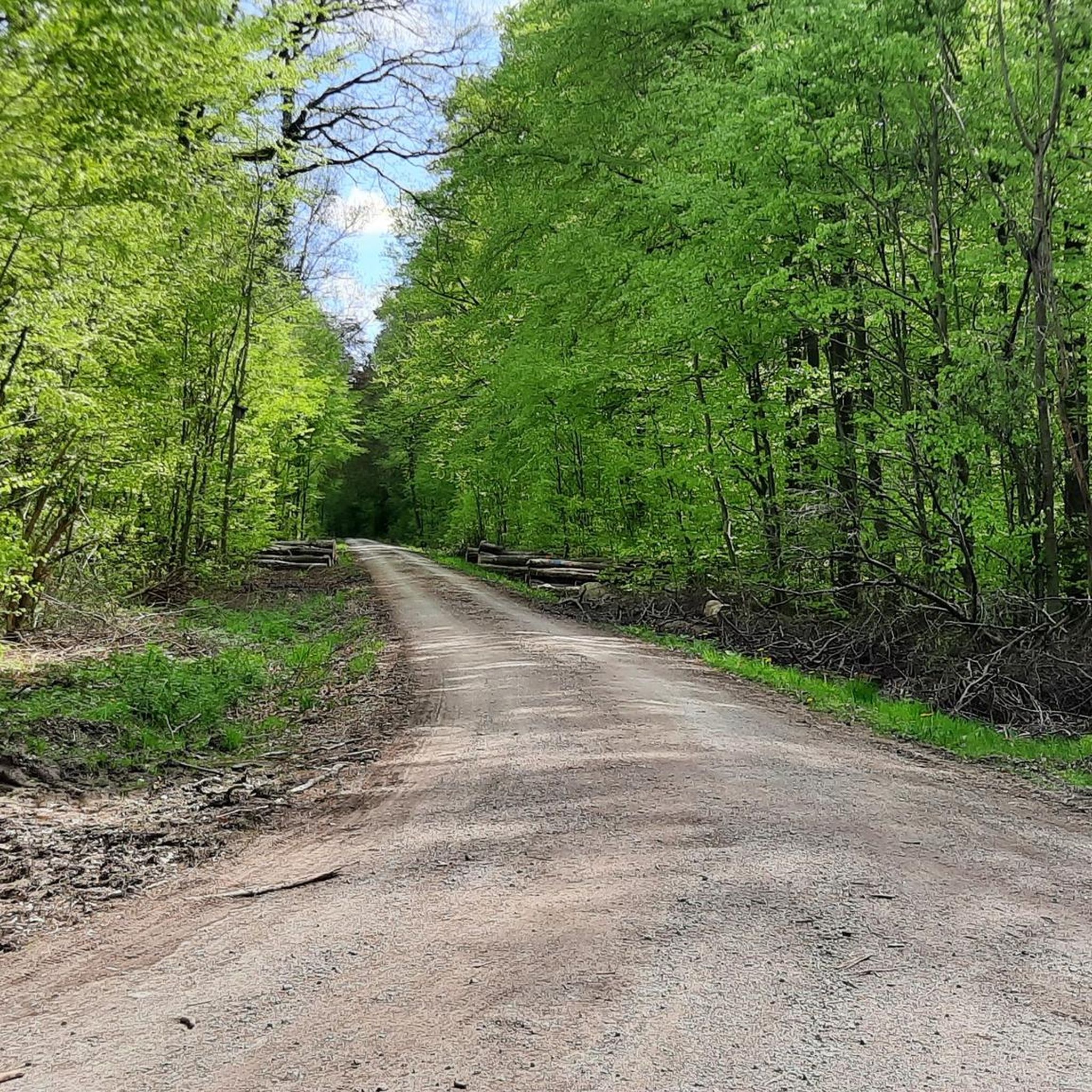

Tips from the Community

Great and shady bike path between Katlenburg and Wachenhausen.
2
0

Great cycle path. Cross the road briefly at the mill. (Be careful with children, it is a road with poor visibility). After that you come to this wonderful section directly along the Rhume with great, interesting information boards for young and old, e.g. about the animals' habitats, etc.
2
0
Great dirt roads, very quiet.
0
0

shady, flat route with opportunities to linger ...
2
0

Very nice flat stage👍
1
0
Nice bike path over a gravel path / cobblestones
2
0

A great route, it is always nice to be able to drive so close to the rivers in our region.
3
0
The route is much nicer than the suggested bike path from Northeim to Duderstadt.
0
0
Frequently Asked Questions
How many running routes are available in Gillersheimer Forst?
Gillersheimer Forst offers a comprehensive network of over 390 running routes. These range from easy jogs to more challenging trails, ensuring options for various fitness levels.
What kind of terrain can I expect on the jogging trails in Gillersheimer Forst?
The running trails in Gillersheimer Forst feature dense woodlands and undulating terrain. You'll find a mix of natural paths, providing a varied running experience. While specific details on trail surfaces are limited, the forest environment generally offers soft surfaces appealing to runners.
Are there any historical landmarks or points of interest I can see while running?
Yes, a notable historical landmark within Gillersheimer Forst is the Leisenberg Church Ruins. This ancient ruin offers an interesting point of interest along some of the forest's trails. The region is known for having 17 beautiful excursion destinations and sights in total.
What do other runners enjoy most about the trails in Gillersheimer Forst?
The running routes in Gillersheimer Forst are highly rated by the komoot community, with an average score of 4.3 stars from over 400 reviews. Runners often praise the varied forest terrain and the peaceful atmosphere, making it a popular choice for outdoor activity.
Are there any easy running routes suitable for beginners in Gillersheimer Forst?
Yes, Gillersheimer Forst has over 60 easy running routes. These trails are perfect for beginners or those looking for a more relaxed run through the forest. You can find options that offer gentle elevation changes and shorter distances.
Can I find circular running routes in Gillersheimer Forst?
Many of the running paths in Gillersheimer Forst are designed as loops, allowing for convenient circular runs. For example, the Running loop from Spanbeck is a moderate 7.3 km path that winds through the forest, offering a great circular experience.
Are the running trails in Gillersheimer Forst suitable for families?
While specific 'family-friendly' designations for running trails are not detailed, the presence of over 60 easy routes suggests that many paths would be suitable for families looking for a less strenuous run or walk. The natural forest environment provides a pleasant setting for outdoor activities.
Is there parking available near the running routes in Gillersheimer Forst?
While specific parking locations are not detailed, areas like the Potsdamer Platz Rest Area might offer facilities or access points. Generally, forest areas often have designated parking at trailheads or popular access points, but it's advisable to check local information for specific starting points.
What is the longest running route available in Gillersheimer Forst?
Among the featured routes, the Gillersheim Forest Trails loop from Holzerode is a longer option, covering approximately 10.1 km. This moderate trail provides a more extended running experience through the forest.
Are there any huts or rest areas along the running trails?
Yes, you can find rest areas and huts within Gillersheimer Forst. Notable spots include the Köhler Pausenhütte and the Charcoal Burner's Hut on the Höhenweg, which can serve as good spots for a short break during your run.
How can I access Gillersheimer Forst using public transport for a run?
While specific public transport connections directly to trailheads are not extensively detailed, the region is generally accessible. It's recommended to check local public transport schedules and routes to nearby towns like Katlenburg-Lindau, Spanbeck, or Gillersheim, which serve as starting points for several popular running loops.
What are the typical running durations for routes in Gillersheimer Forst?
Running durations vary depending on the route and your pace. For example, the popular Running loop from Katlenburg-Lindau, which is 5.6 km, typically takes about 35 minutes to complete. Longer routes, like the 10.1 km Gillersheim Forest Trails loop from Holzerode, will naturally take longer.
Most popular routes in Gillersheimer Forst
Most popular attractions in Gillersheimer Forst

Get inspired with the komoot mobile app


Explore more
Browse the best Running Trails & Routes in other regions.
