The best MTB trails in Gillersheimer Forst
4.7
(1630)
3,674
riders
515
rides
Mountain bike trails in Gillersheimer Forst traverse a landscape characterized by dense woodlands and varied terrain, offering a natural setting for outdoor activities. The region features numerous paths suitable for cycling, with opportunities for both challenging ascents and flowing descents. Historical landmarks, such as the Kirchenruine Leisenberg, are integrated into some routes, adding a cultural dimension to the outdoor experience. This forested environment provides diverse natural features appealing to mountain bikers.
Best mountain bike trails in Gillersheimer Forst
- The most popular mountain bike trail is Short but Scenic Singletrack – Klingenberg spring loop from Gillersheim, a 15.6 miles (25.2 km) trail that takes 1 hour 42 minutes to complete. This moderate route features varied forest paths and scenic views.
- Another top favourite among local mountain bikers is Plesseforst Trail – Start of Plesse Flowtrails loop from Gillersheim, a moderate 22.7 miles (36.5 km) path. This route winds through dense woodland with varied elevation changes.
- Local mountain bikers also love the Leisenberg Church Ruins – Burg Plesse loop from Gillersheim, a 20.9 miles (33.6 km) trail leading through forested areas and past historical sites, often completed in about 2 hours 46 minutes.
- Mountain biking in Gillersheimer Forst is defined by dense woodlands, varied terrain, and historical landmarks. The network offers options for easy, moderate, and difficult ability levels.
- The routes in Gillersheimer Forst are highly rated by the komoot community with an average score of 4.7 stars from over 1400 reviews. More than 3500 mountain bikers have used komoot to explore Gillersheimer Forst's varied terrain.
Last updated: June 28, 2026
4.6
(11)
25
riders
25.2km
01:42
200m
200m
Moderate mountain bike ride. Great for any fitness level. Advanced riding skills necessary.
5.0
(5)
14
riders
34.9km
02:30
420m
420m
Moderate mountain bike ride. Good fitness required. Advanced riding skills necessary.

Sign up for free
5.0
(4)
9
riders
30.9km
02:06
190m
190m
Moderate mountain bike ride. Good fitness required. Advanced riding skills necessary.
4.8
(4)
6
riders
29.7km
02:39
530m
530m
Moderate mountain bike ride. Good fitness required. Suitable for all skill levels.
4.8
(4)
7
riders
33.3km
02:23
310m
310m
Moderate mountain bike ride. Good fitness required. Advanced riding skills necessary.
Get access to more routes and recommendations from other explorers.
Sign up for free
Already have an account?
Our route recommendations are based on thousands of hikes, rides, and runs completed by other people on komoot.
Start today with a free account
Your next adventure awaits.
Login or Signup
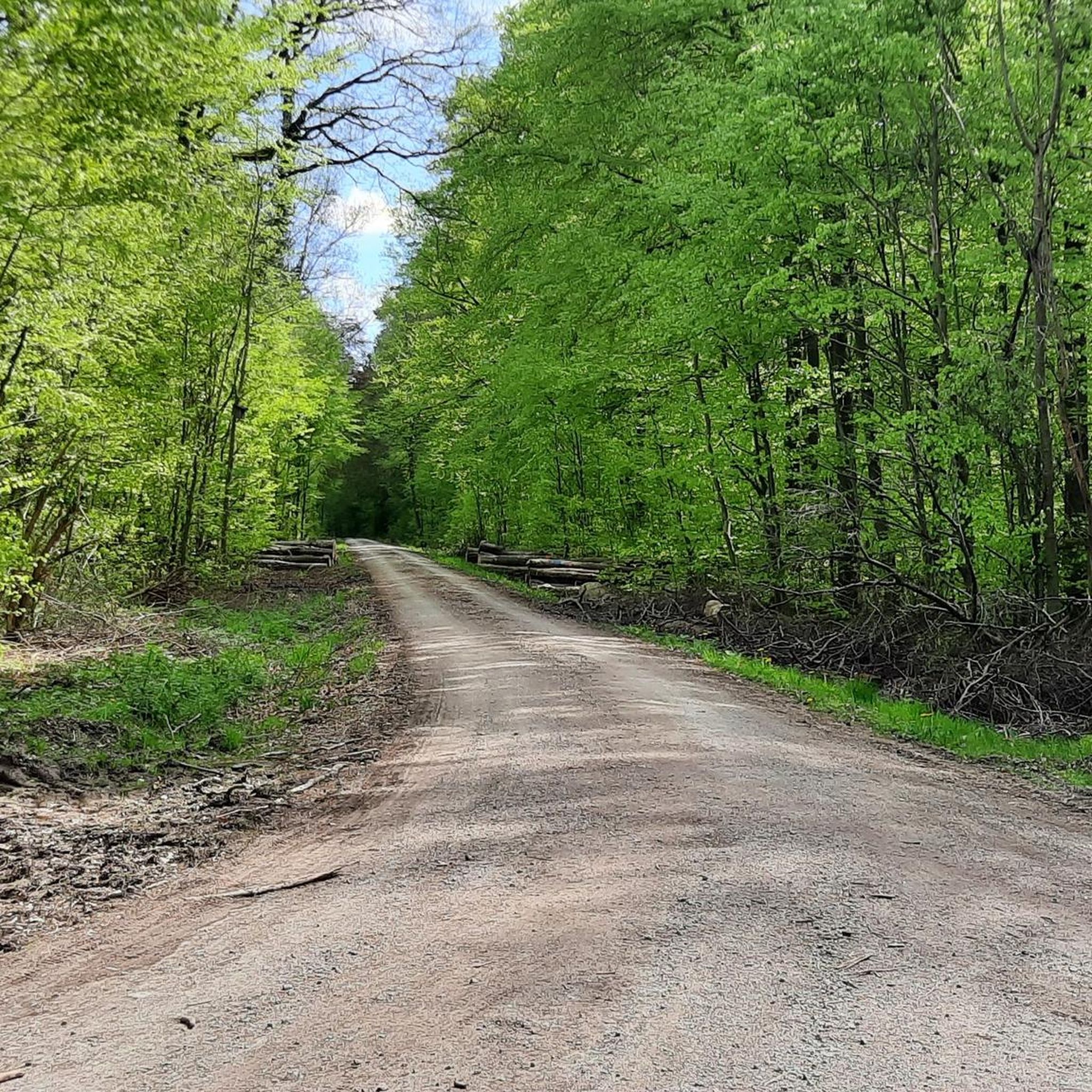
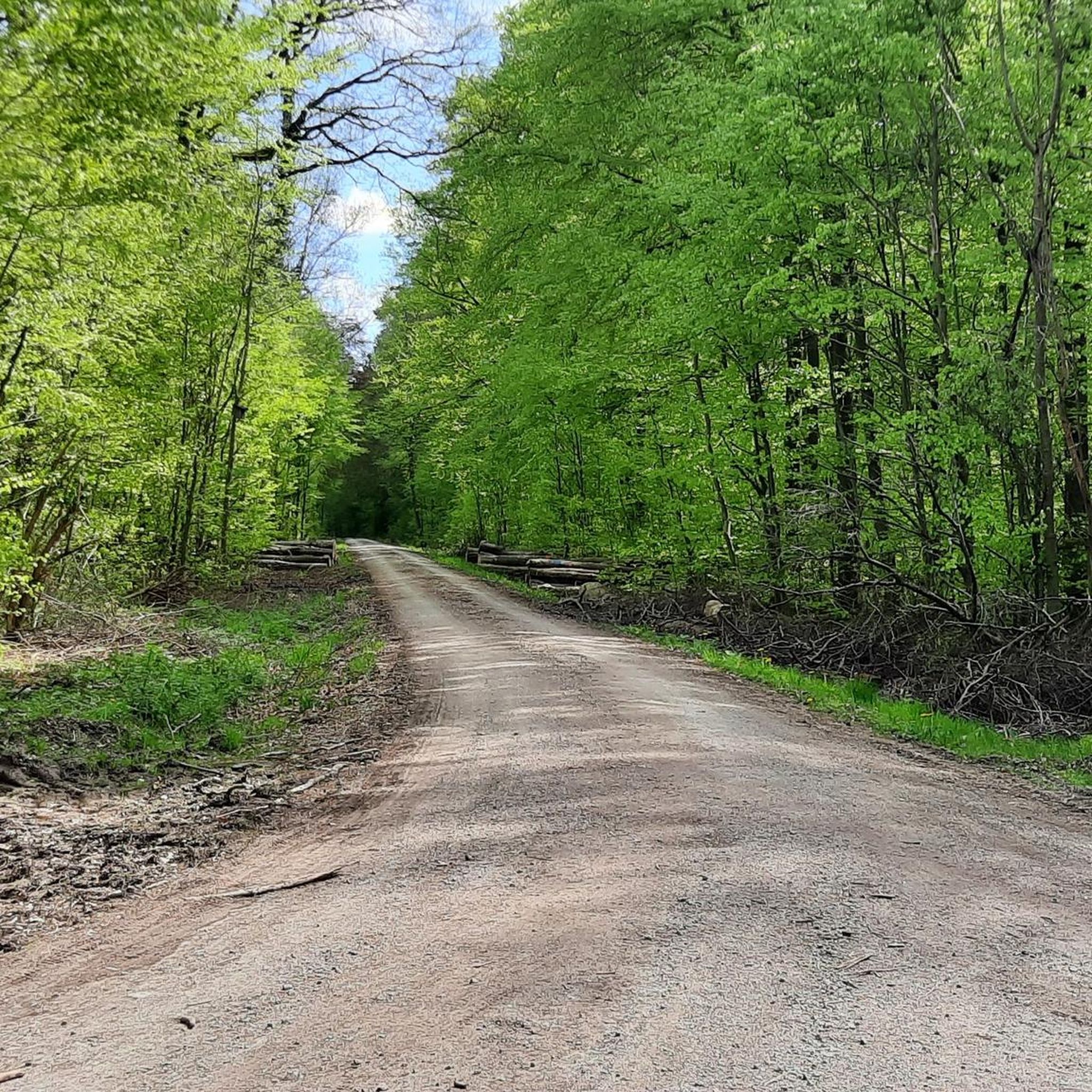
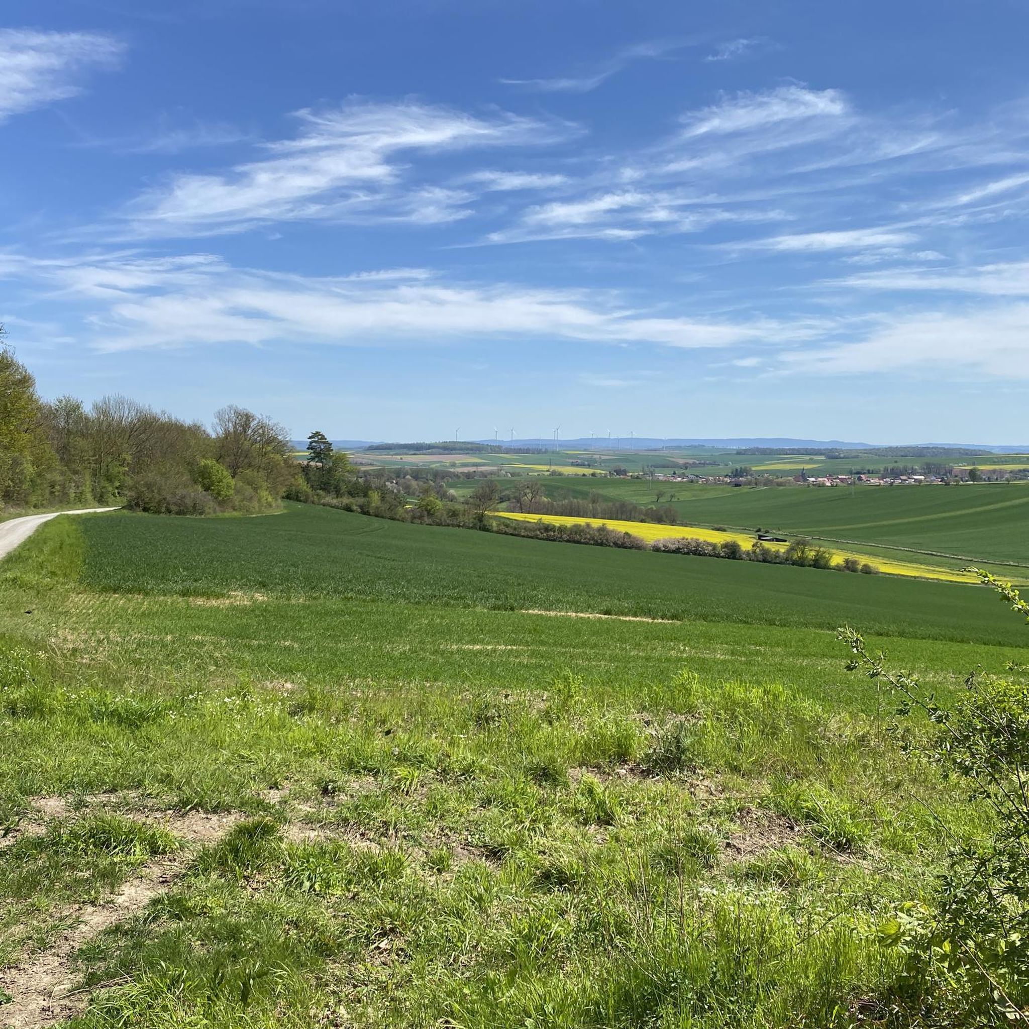

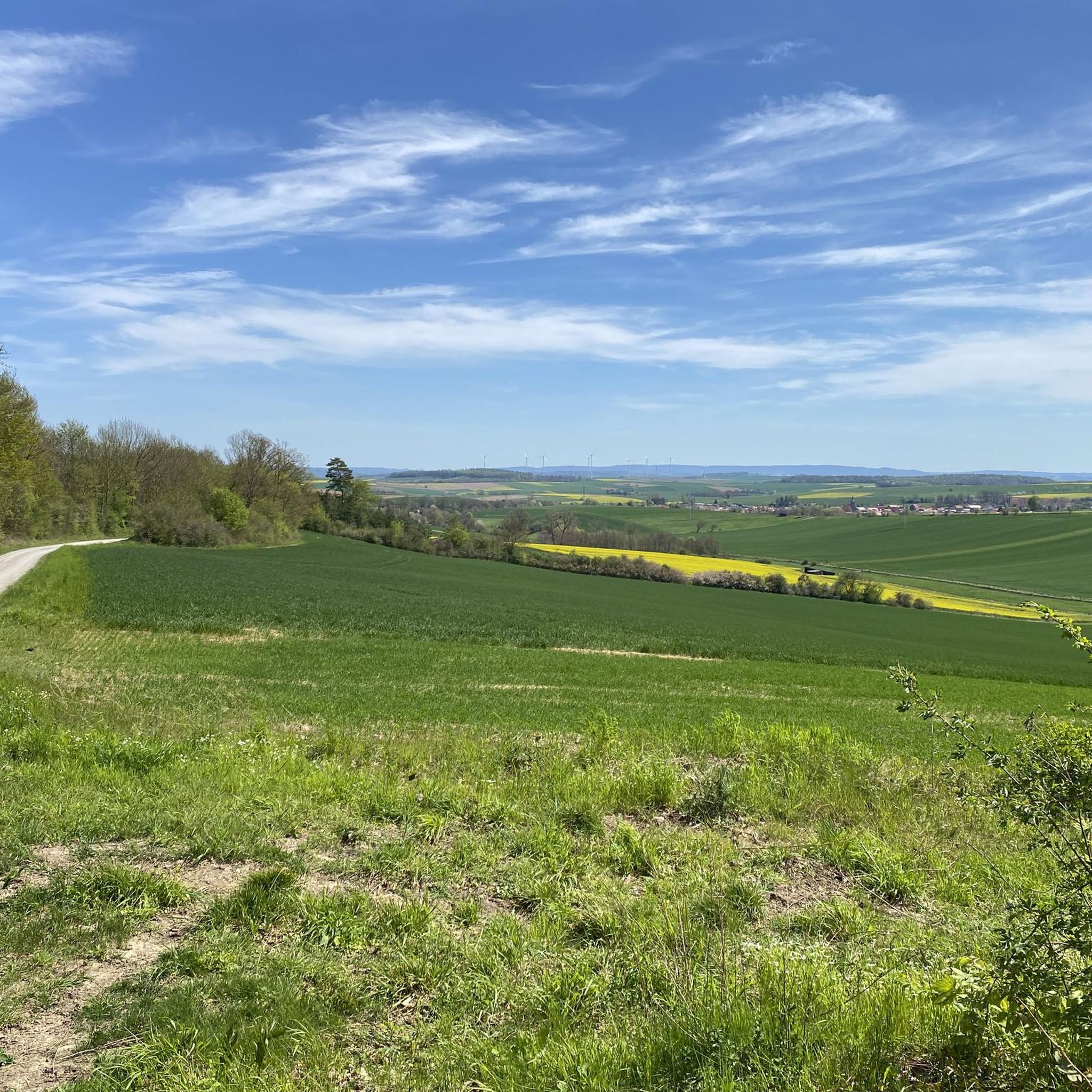
Tips from the Community

Large cabin with three long tables and benches, plus a barbecue area and outdoor tables and benches. A small, weak spring is located below. Bookings and reservations for groups and clubs can be made through the Bühle Forestry Association (Forstgemeinschaft Realverband Bühle), Tel. +49 5503 58559985. Large cabin with three long tables and benches, plus a barbecue hut and outdoor tables and benches. A small spring flows below. Bookings and reservations for groups and clubs: Bühle Forestry Association, Tel. +49 5503 58559985
0
0

Easily accessible and visible from the road. If you're traveling by car, you can park about a kilometer away. It's also very easy to reach by bicycle. Unfortunately, the tower has been closed for a long time and is in poor condition. Small trees are growing on the viewing platform. Away from it, plants are slowly climbing upwards and covering the walls. I'm amazed that the tower is still standing so tall after so many years. There's only a small information panel next to it, and that's all.
6
0

If this is Hanstein Castle, then I am Kaiser Wilhelm.
0
0


The Klingenberg Spring has a lot to offer. You'll find a great resting place here, you can refresh yourself at the spring, and learn interesting facts from the information board. A visit here is definitely worth it!
7
0

Nice place to take a break
0
0

Rhum crossing between Katlenburg and Berka
0
0

Nature is taking everything back, very impressive. A must-see.
0
0
Frequently Asked Questions
What is the overall difficulty level of mountain bike trails in Gillersheimer Forst?
Gillersheimer Forst offers a range of mountain bike trails suitable for various skill levels. You'll find 129 easy routes, 371 moderate routes, and 28 difficult routes. This variety ensures that both beginners and experienced riders can find suitable challenges.
Are there any family-friendly mountain bike trails in Gillersheimer Forst?
Yes, Gillersheimer Forst has several family-friendly options. Many of the 129 easy routes are suitable for families. For example, the Klingenberg spring – Oderparksee loop from Katlenburg is an easy 21.9 km route with minimal elevation gain, making it a good choice for a relaxed family outing.
What kind of terrain can I expect on mountain bike trails in Gillersheimer Forst?
The terrain in Gillersheimer Forst is primarily characterized by dense woodlands and varied forest paths. You can expect a mix of challenging ascents, flowing descents, and natural obstacles typical of a forested environment. The area's designation as a 'Forst' (forest) means you'll be riding through diverse woodland landscapes.
Are there any circular mountain bike routes available?
Yes, many of the mountain bike routes in Gillersheimer Forst are designed as loops. For instance, the popular Plesseforst Trail – Start of Plesse Flowtrails loop from Gillersheim is a moderate 36.5 km circular path that winds through dense woodland. Another option is the Leisenberg Church Ruins – Short but Scenic Singletrack loop from NSG Husumer Tal, an easy 22.3 km loop.
What historical landmarks or attractions can I see along the mountain bike trails?
Gillersheimer Forst integrates historical landmarks into its routes, adding a cultural dimension to your ride. A notable attraction is the Leisenberg Church Ruins, an ancient village site dating back to between 1200 and 1400 AD. You can explore this site on routes like the Leisenberg Church Ruins – Burg Plesse loop from Gillersheim.
What do other mountain bikers enjoy most about mountain biking in Gillersheimer Forst?
The mountain bike trails in Gillersheimer Forst are highly rated by the komoot community, with an average score of 4.7 stars from over 1400 reviews. Riders often praise the varied terrain, the dense woodlands, and the integration of historical sites, which combine physical activity with exploration of local heritage.
Is Gillersheimer Forst suitable for beginner mountain bikers?
Absolutely. With 129 easy routes, Gillersheimer Forst is well-suited for beginner mountain bikers. These trails typically feature less challenging gradients and smoother paths, allowing new riders to build confidence and enjoy the natural surroundings. Always check individual tour details for specific difficulty ratings.
Are there any advanced mountain bike routes for experienced riders?
Yes, for experienced riders seeking more challenge, Gillersheimer Forst offers 28 difficult routes. These trails will likely feature steeper climbs, technical descents, and more demanding terrain. While specific advanced routes aren't detailed here, you can filter for 'difficult' tours on komoot to find them.
What is the best season for mountain biking in Gillersheimer Forst?
While specific seasonal details are not provided, forested areas like Gillersheimer Forst are generally enjoyable for mountain biking from spring through autumn. Spring brings fresh greenery, summer offers lush canopies, and autumn provides beautiful foliage. Winter riding may be possible, but conditions can vary, so checking local weather and trail status is always recommended.
Are there places to rest or facilities along the trails?
Yes, there are some facilities and rest areas within Gillersheimer Forst. For example, you might encounter places like the Köhler Pausenhütte or the Charcoal Burner's Hut on the Höhenweg, which can serve as good spots for a break. The Potsdamer Platz Rest Area is another designated spot for facilities.
How many mountain bike trails are there in Gillersheimer Forst in total?
Gillersheimer Forst boasts a comprehensive network of over 500 mountain bike trails. Specifically, there are 528 routes recorded, offering a vast array of options for all types of riders.
Most popular routes in Gillersheimer Forst
Most popular attractions in Gillersheimer Forst

Get inspired with the komoot mobile app


Explore more
Browse the best MTB trails in other regions.
