The best MTB trails in Hochpochtener Wald
4.5
(1354)
3,823
riders
350
rides
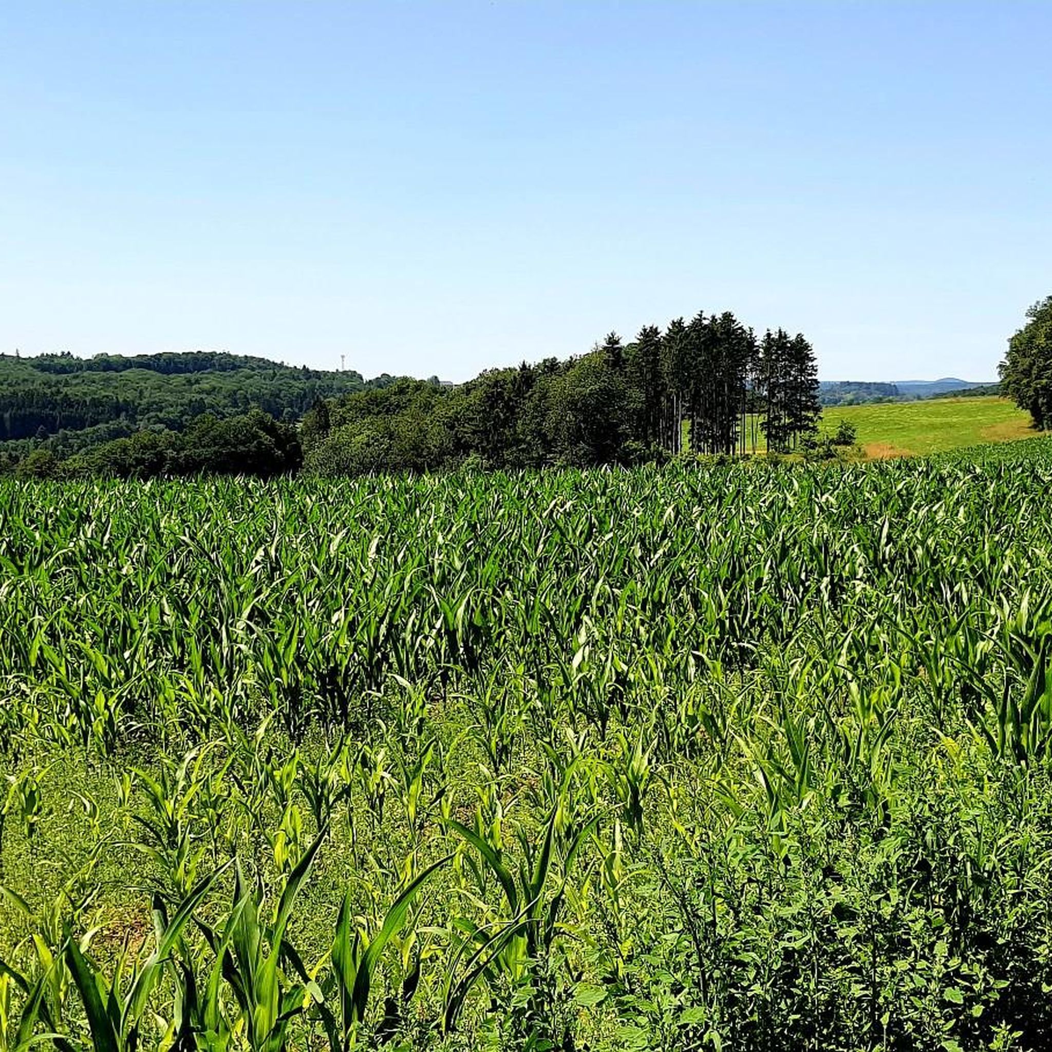
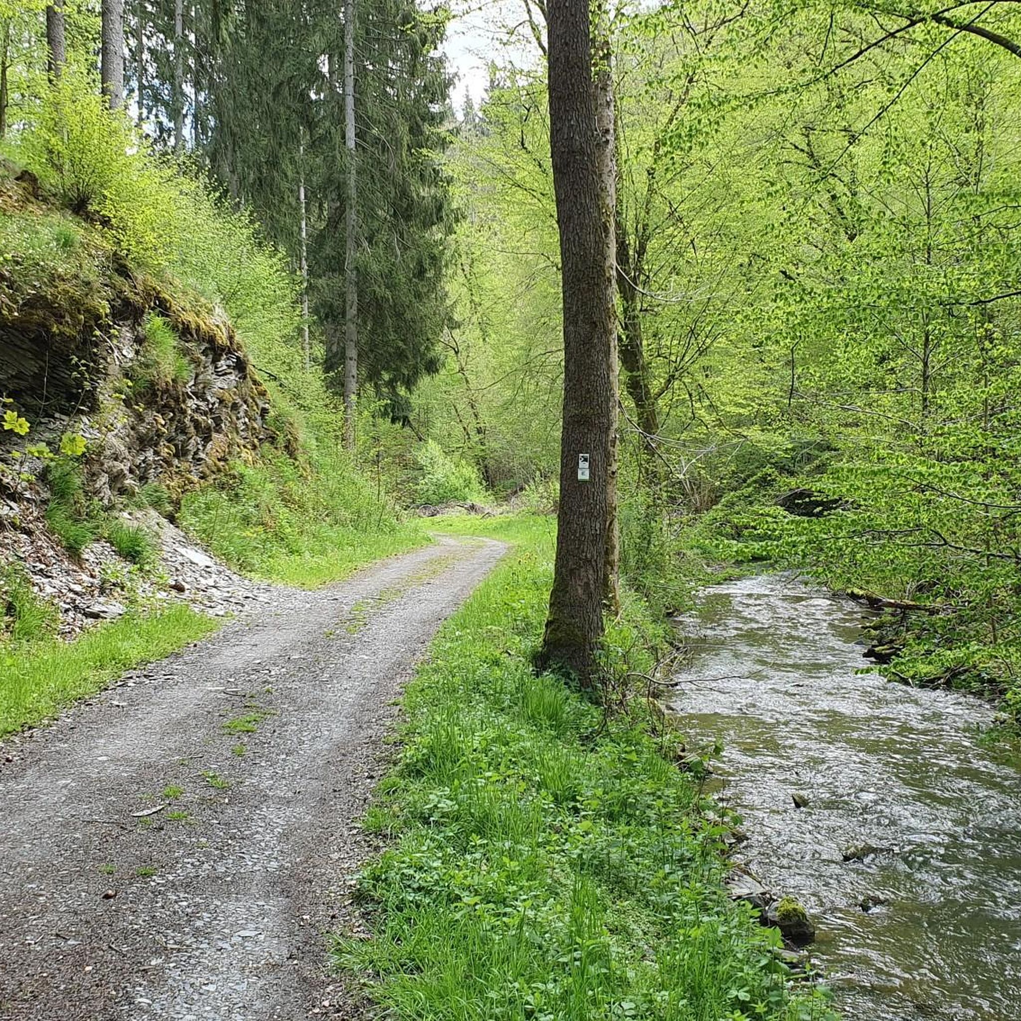
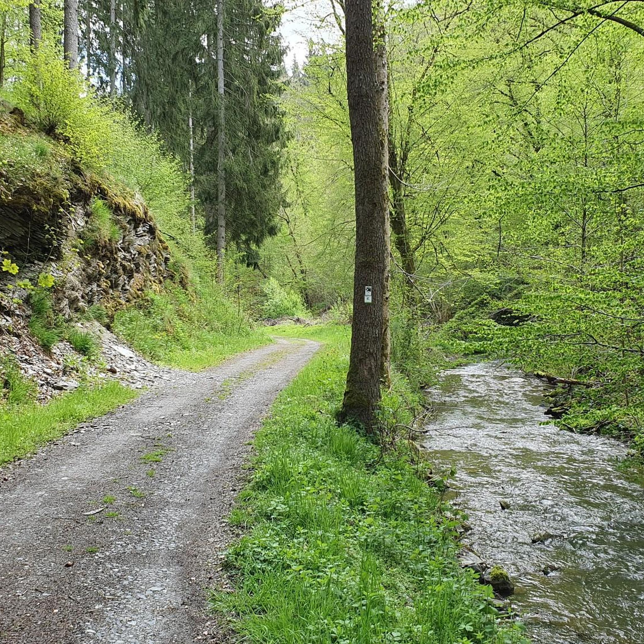
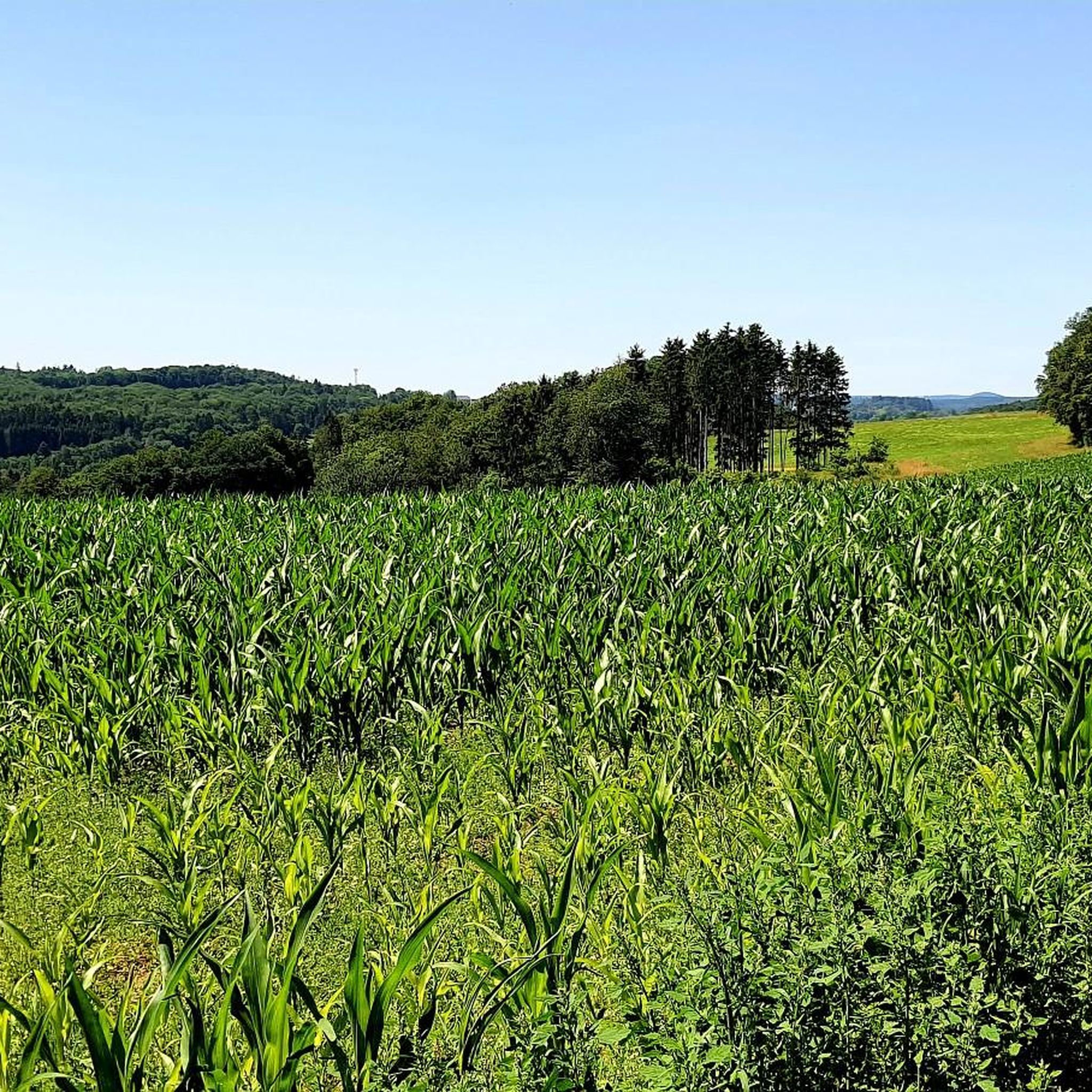
Mountain biking in Hochpochtener Wald, located in the Cochem-Zell district of Rhineland-Palatinate, Germany, offers a network of trails through a predominantly forested landscape. This region is characterized by its dense woodlands and river valleys, providing varied terrain for mountain bikers. The area's history includes past slate mining and coal burning operations, indicating a landscape shaped by both natural processes and historical human activity. The trails navigate through these natural features, offering diverse riding experiences.
Best mountain bike trails in Hochpochtener…
Last updated: June 30, 2026
5.0
(3)
3
riders
26.0km
02:18
440m
440m
Moderate mountain bike ride. Good fitness required. Advanced riding skills necessary.
3
riders
12.7km
01:13
270m
270m
Moderate mountain bike ride. Great for any fitness level. Advanced riding skills necessary.

Sign up for free
5.0
(1)
4
riders
Moderate mountain bike ride. Good fitness required. Advanced riding skills necessary.
4.0
(2)
8
riders
28.4km
01:49
280m
280m
Easy mountain bike ride. Great for any fitness level. Suitable for all skill levels.
5
riders
46.9km
04:18
1,080m
1,080m
Hard mountain bike ride. Very good fitness required. Advanced riding skills necessary.
Get access to more routes and recommendations from other explorers.
Sign up for free
Already have an account?
Our route recommendations are based on thousands of hikes, rides, and runs completed by other people on komoot.
Start today with a free account
Your next adventure awaits.
Login or Signup

Tips from the Community

A true paradise stretches out on the edge of the village of Ulmen on a plateau beneath the Steimelskopf, where a volcano once erupted with a tremendous bang, forming a deep crater with a maar lake, which now serves as a renowned bird sanctuary. The exact age of the Jungferweiher lake cannot be determined, but its morphological shape suggests it is several hundred thousand years old. In early modern times, the Lords of Ulmen used the lake as a fishpond for carp breeding, until it gradually silted up over time, and the residents of Ulmen harvested peat from the former maar for heating purposes. However, in 1942, the decision was made to flood the area again by damming the Ulmener Bach to secure the drinking water supply for the Cochem-Zell district. Today, the Jungferweiher lake, located at an altitude of 428 meters above sea level, covers an area of approximately 170,000 square meters with a depth of 0.8 meters. The pond, along with the Ulmener Maar, is protected for its rare flora and fauna. Many endangered species, such as the snipe and the meadow pipit, breed in the reed-rich banks, while ospreys have been observed hunting. Migratory birds such as cranes, teals, and great grey shrikes roost in the meadows near the Ulmener Jungferweiher every year. Therefore, a walk along the approximately 3-kilometer loop is a must, especially during the migration periods in spring and autumn. At the bird observatory on the western bank, you can observe the birds in their natural habitat. Nowadays, a wide variety of fish species thrive in the shallow waters of the Ulmener Weiher, which can be fished from a fishing pier on the southern bank. Swimming and other water sports are prohibited, however. Fishing permits are issued by the local municipal administration in Ulmen. Since 2023, the Ulmener Maar Tunnel has connected the Jungferweiher underground to the Ulmener Maar. A visit to the 126-metre-long tunnel is highly recommended!
7
0

According to legend, Heinrich von Ulmen is said to have deposited a bag of earth from Christ's grave at the St. Anthony's Cross in the 17th century.
1
0

Here at the Jungfernweiher in Ulmen you can go for a lovely walk. The Ulmener Stollen connects the Ulmener Maar with the Jungfernweiher.
3
0

According to legend, the knight Rhilipp Haust(en) von Ulmen and his wife erected the cross. The knight was taken prisoner during a crusade. There, according to legend, he had to pull a plough even though his hands and toes were chopped off. His lady of the castle, after receiving news of this, set off to free her beloved. She succeeded thanks to a harp performance - and out of gratitude, both erected the Antoniuskreuz upon their happy return. (Source: Sagen und Legenden der Eifel / collected and edited by Hans-Peter Pracht, 1983). Historically, the legend originated around 1508.
1
0


The Volcanic Eifel is always worth a short vacation.
2
0
The Volcanic Eifel is always worth a short vacation.
2
0

If you start your tour from the direction of the campsite at Jungferweiher, you will soon come across this beautiful rest area.
3
0
Frequently Asked Questions
How many mountain bike trails are available in Hochpochtener Wald?
Hochpochtener Wald offers a wide selection of mountain bike trails, with over 350 routes available. These trails navigate through the region's dense woodlands and river valleys.
What are the difficulty levels of mountain bike trails in Hochpochtener Wald?
The mountain bike trails in Hochpochtener Wald cater to various skill levels. You'll find 64 easy routes, 244 moderate routes, and 47 difficult routes, ensuring options for beginners to experienced riders.
Are there any circular mountain bike routes in Hochpochtener Wald?
Yes, many of the mountain bike routes in Hochpochtener Wald are designed as loops, allowing you to start and finish at the same point. For example, the Endert Valley Stream Trail – The Rausch Waterfall loop from Vorpochten is a popular circular option.
What kind of terrain can I expect on the mountain bike trails in Hochpochtener Wald?
The terrain in Hochpochtener Wald is predominantly forested, featuring dense woodlands and river valleys. You can expect varied surfaces, including natural forest paths, gravel sections, and some climbs and descents as you navigate the landscape shaped by natural processes and historical activities like slate mining.
Are there any waterfalls or scenic points along the mountain bike trails?
Yes, some trails feature scenic points. For instance, the Endert Valley Stream Trail – The Rausch Waterfall loop from Vorpochten includes the Rausch Waterfall. You can also explore highlights like the Wooden Bridges Along the Endert and the Endert Valley Trail itself.
What do other mountain bikers say about the trails in Hochpochtener Wald?
The mountain bike trails in Hochpochtener Wald are highly regarded by the komoot community, holding an average rating of 4.6 out of 5 stars from over 1,100 reviews. Riders often praise the diverse terrain and the experience of riding through the dense woodlands and river valleys.
Are there any family-friendly mountain bike routes in Hochpochtener Wald?
Yes, among the 355 available routes, there are 64 easy trails that are generally suitable for families or those looking for a less strenuous ride. These routes often feature gentler gradients and smoother paths.
Can I bring my dog on the mountain bike trails in Hochpochtener Wald?
Many forest trails in Germany, including those in Hochpochtener Wald, are generally dog-friendly. However, it's always recommended to keep your dog on a leash, especially in areas with wildlife or other trail users, and to check specific trail regulations if available.
What is the best time of year for mountain biking in Hochpochtener Wald?
The spring, summer, and autumn months typically offer the best conditions for mountain biking in Hochpochtener Wald. During these seasons, the weather is generally more favorable, and the forest trails are usually dry and clear. Winter conditions can vary, potentially involving snow or ice.
Are there any historical sites or landmarks to see while mountain biking?
The Hochpochtener Wald region has a history tied to slate mining and coal burning. While specific historical mountain biking routes aren't highlighted, you might encounter remnants of this past. Additionally, highlights like the Schneider Cross (1668) offer a glimpse into the region's heritage.
How long are the mountain bike trails in Hochpochtener Wald?
Trail lengths vary significantly. For example, the Bridge Over the Endert – Stream in the Eifel loop from Müllenbach is about 7.9 miles (12.7 km), while the View of Cochem Imperial Castle – Cochem Old Town loop from Auderath extends to nearly 29 miles (46.5 km), offering options for shorter rides or full-day adventures.
Are there any routes that pass by lakes or ponds?
Yes, some routes incorporate local water features. The Jungfer Pond – View of the Jungferweiher loop from Müllenbach, for instance, leads through forested areas and past the Jungfer Pond, offering a scenic experience.
Most popular routes in Hochpochtener Wald
Most popular attractions in Hochpochtener Wald

Get inspired with the komoot mobile app


Explore more
Browse the best MTB trails in other regions.
