The best walks and hikes in Hochpochtener Wald
4.5
(6479)
22,852
hikers
678
hikes
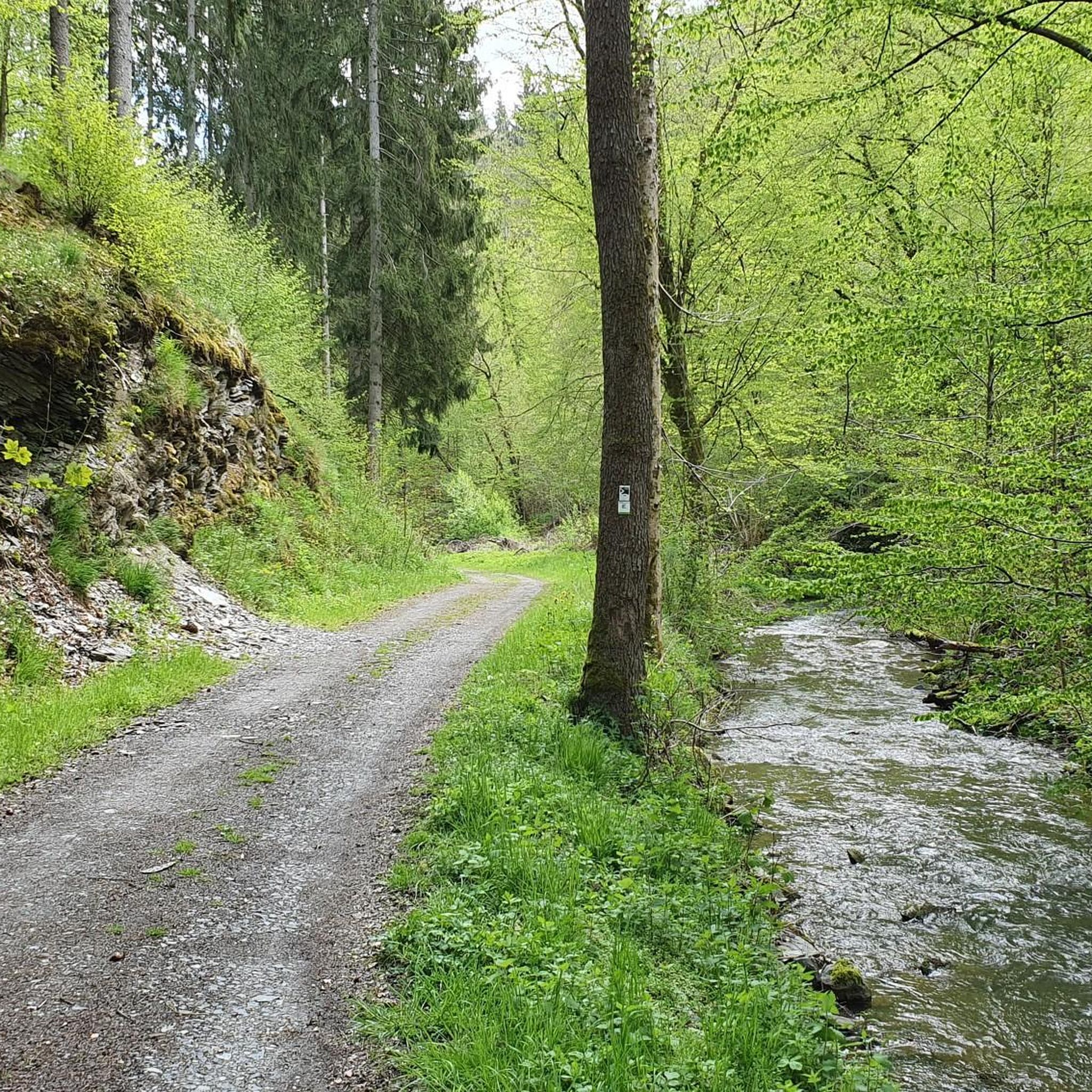
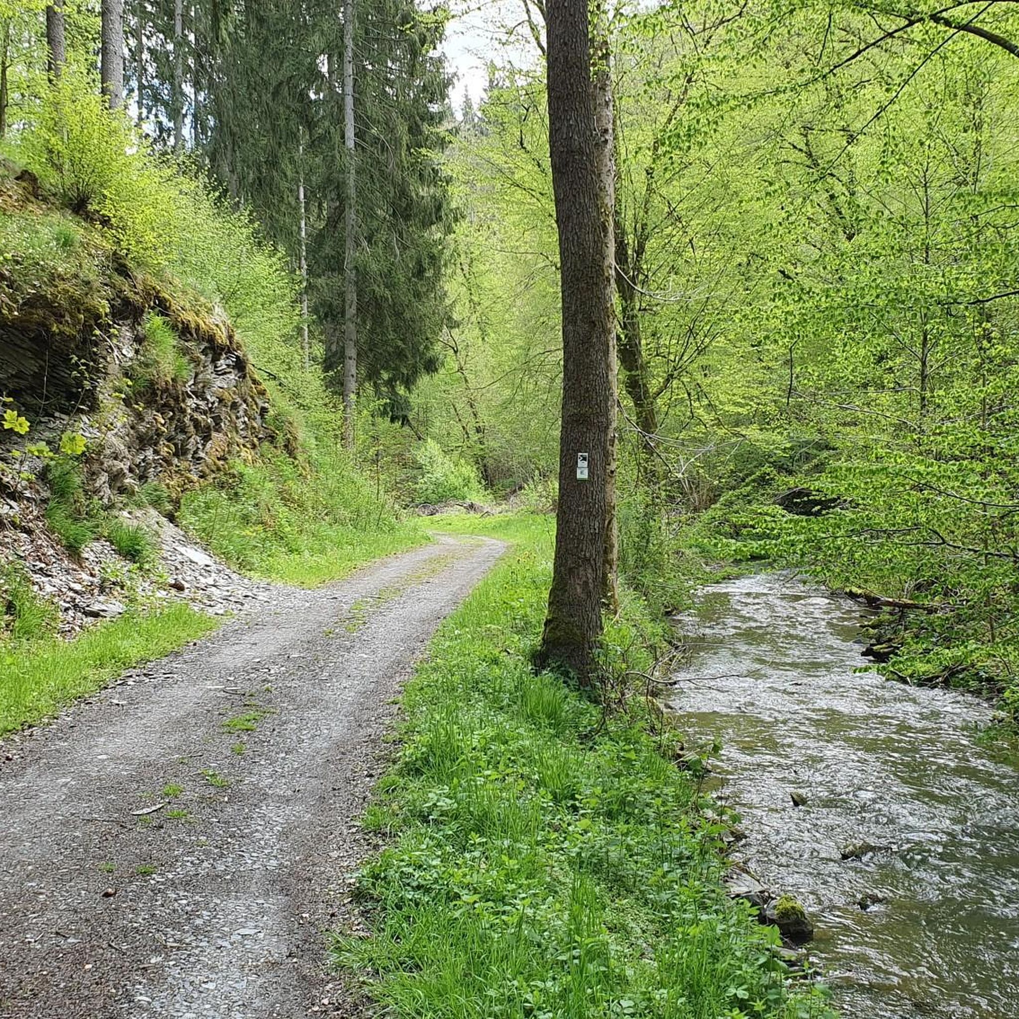
Hiking in Hochpochtener Wald offers a diverse landscape characterized by dense woodlands, varied terrain, and natural features such as waterfalls. The region provides numerous opportunities for outdoor exploration, with over 600 hiking trails available. These routes cater to a range of abilities, from easy paths to more challenging ascents.
Best hiking trails in Hochpochtener Wald
- The most popular hiking route is Spalthaus – The Rausch Waterfall loop from Müllenbach, a 7.2 miles (11.6 km) trail that takes 3 hours…
Last updated: July 5, 2026
4.7
(54)
157
hikers
11.6km
03:33
320m
320m
Hard hike. Good fitness required. Sure-footedness, sturdy shoes and alpine experience required.
4.9
(34)
121
hikers
6.42km
01:58
170m
170m
Hard hike. Great for any fitness level. Sure-footedness, sturdy shoes and alpine experience required.

Sign up for free
4.8
(24)
103
hikers
13.2km
03:53
330m
330m
Hard hike. Good fitness required. Sure-footedness, sturdy shoes and alpine experience required.
4.5
(13)
31
hikers
Easy hike. Great for any fitness level. Easily-accessible paths. Suitable for all skill levels.
4.9
(7)
39
hikers
8.02km
02:17
180m
180m
Hard hike. Good fitness required. Sure-footedness, sturdy shoes and alpine experience required.
Get access to more routes and recommendations from other explorers.
Sign up for free
Already have an account?
Our route recommendations are based on thousands of hikes, rides, and runs completed by other people on komoot.
Start today with a free account
Your next adventure awaits.
Login or Signup

Tips from the Community

The place is also perfect for a picnic.
0
0
A great trail through the former slate mines. It's worth it.
0
0
An exciting trail. In addition to the old slate quarries, the tracks left in the rock and path by the carts used to transport the slate are also interesting.
0
0

Luckily I had my flashlight with me so I could shine further inside 😀
0
0
At the end the path stretches a bit to the viewpoint
0
0

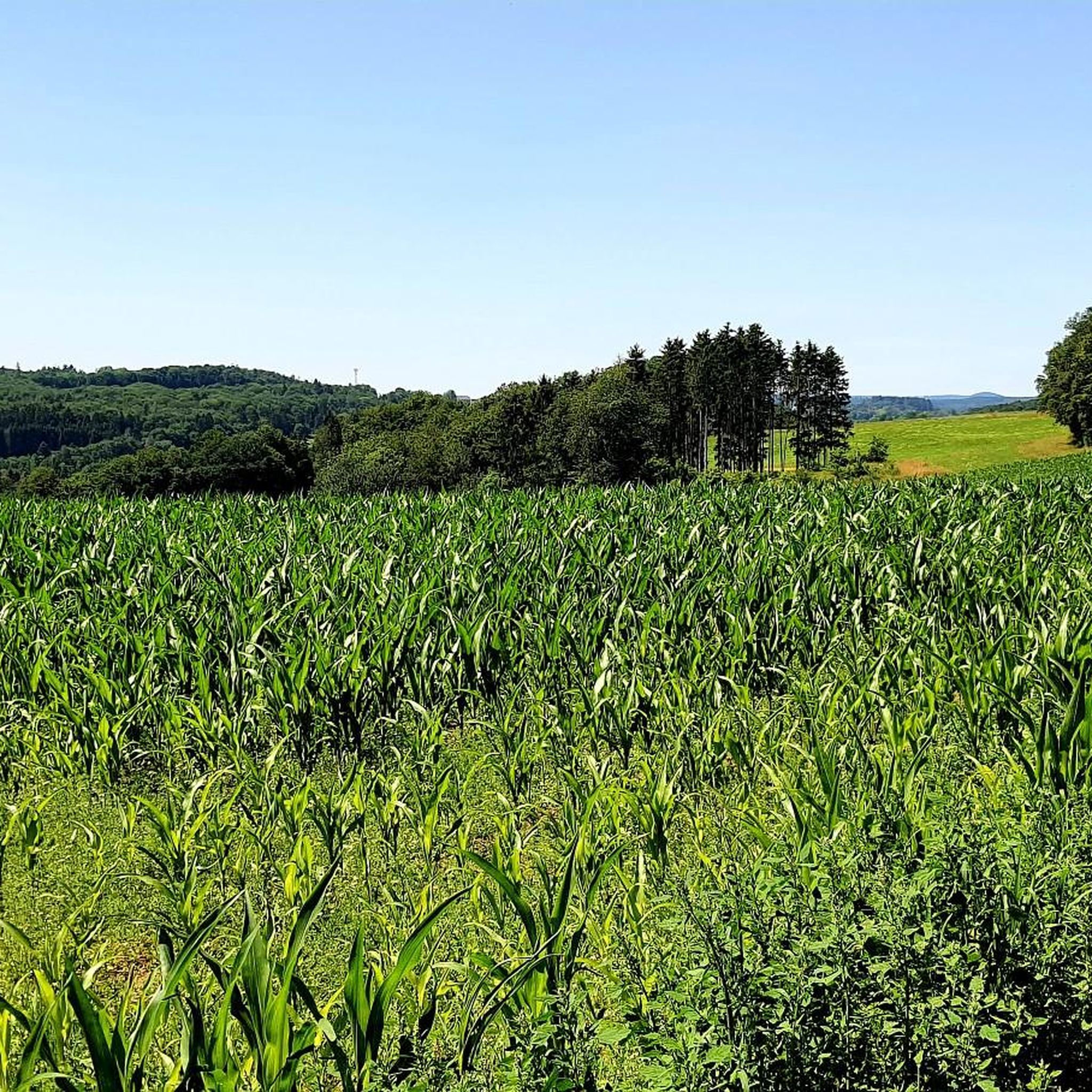
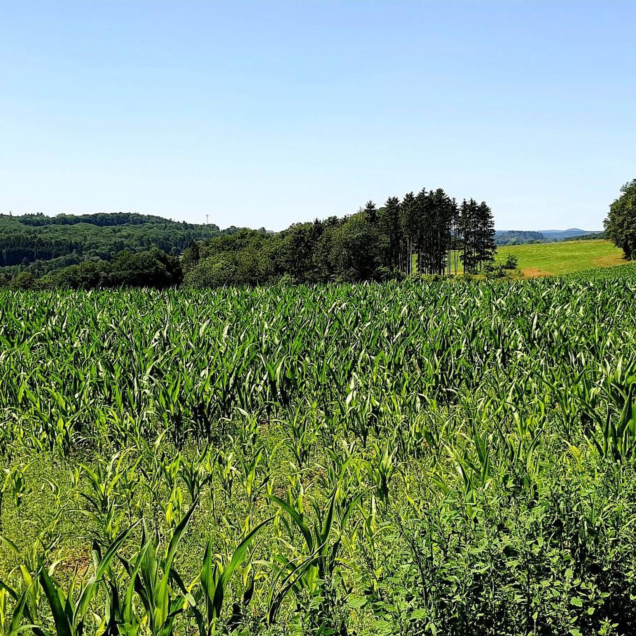
Magnificent views over the slate mining area, the Kaulenbach valley and the Eifel landscape
2
0
beautiful adventurous path, but sturdy shoes are a must and caution when wet
1
0
Frequently Asked Questions
What is the general difficulty level of hiking trails in Hochpochtener Wald?
Hochpochtener Wald offers a diverse range of trails. Out of over 600 routes, approximately 331 are easy, 295 are moderate, and 50 are difficult. This variety ensures there are paths suitable for nearly all fitness levels and preferences.
Are there any family-friendly hiking routes in Hochpochtener Wald?
Yes, the region has many easy trails perfect for families. For example, the Bridge Over the Endert – The Rausch Waterfall loop from Wacholderheide Nassenberg is an easy 2.7-mile (4.3 km) route that takes about 1 hour 10 minutes, offering varied terrain suitable for a pleasant family outing.
Can I find circular hiking routes in Hochpochtener Wald?
Many trails in Hochpochtener Wald are designed as loops, allowing you to start and end at the same point. A popular option is the Spalthaus – The Rausch Waterfall loop from Müllenbach, which is a 7.2-mile (11.6 km) difficult trail featuring a prominent waterfall.
What are some interesting landmarks or natural features to see along the trails?
Hochpochtener Wald is rich in natural and historical sights. You can explore the Wooden Bridges Along the Endert, walk along the scenic Endert Valley Trail, or visit the Saint Jude Shrine in the Endert Valley. The region also features historical mining ruins, such as those found on the Spalthaus – Maria Schacht Mining Ruins loop from Müllenbach.
What are the typical lengths of hikes in Hochpochtener Wald?
Hikes in Hochpochtener Wald vary greatly in length. You can find shorter routes like the 2.7-mile (4.3 km) Bridge Over the Endert – The Rausch Waterfall loop from Wacholderheide Nassenberg, or longer, more challenging options such as the 8.4-mile (13.5 km) Spalthaus – The Rausch Waterfall loop from Laubach.
What do other hikers enjoy most about hiking in Hochpochtener Wald?
The area is highly rated by the komoot community, with an average score of 4.5 stars from over 6,000 reviews. Hikers often praise the dense woodlands, natural waterfalls, and the variety of trails that cater to different skill levels, making it a rewarding experience for many.
Are there any trails that feature waterfalls?
Yes, waterfalls are a prominent natural feature in Hochpochtener Wald. The Spalthaus – The Rausch Waterfall loop from Müllenbach is a popular difficult route specifically known for its waterfall. Another option is the The Rausch Waterfall – Spalthaus loop from Müllenbach.
What is the best time of year to go hiking in Hochpochtener Wald?
Hochpochtener Wald is beautiful year-round, but spring and autumn are particularly popular for hiking due to milder temperatures and vibrant foliage. Summer offers lush greenery, while winter can transform the landscape into a serene, snow-covered wonderland, though some trails might require appropriate gear.
Are there beginner-friendly hiking routes available?
Absolutely. With over 330 easy trails, beginners have plenty of options. These routes typically feature gentler inclines and well-maintained paths, allowing for a relaxed introduction to hiking in the region.
What should I wear for hiking in Hochpochtener Wald?
Given the varied terrain and potential for changing weather, it's advisable to wear sturdy hiking shoes with good grip. Layered clothing is recommended so you can adjust to temperature changes. Waterproof outerwear is also a good idea, especially if exploring near waterfalls or during wetter seasons.
Are there any cafes or places to eat near the hiking trails?
While specific cafes directly on every trail are rare, many villages and towns surrounding Hochpochtener Wald, such as Müllenbach, offer local eateries and cafes where you can refuel before or after your hike. It's always a good idea to check local listings for current operating hours.
Are dogs allowed on the hiking trails in Hochpochtener Wald?
Generally, dogs are welcome on trails in Hochpochtener Wald, but it's always best to keep them on a leash, especially in areas with wildlife or near other hikers. Please remember to clean up after your pet to help keep the trails enjoyable for everyone.
Most popular routes in Hochpochtener Wald
Most popular attractions in Hochpochtener Wald

Get inspired with the komoot mobile app


Explore more
Browse the best Hikes in other regions.
