The best walks and hikes in Bois De Hatrai
4.5
(24831)
109,195
hikers
28
hikes
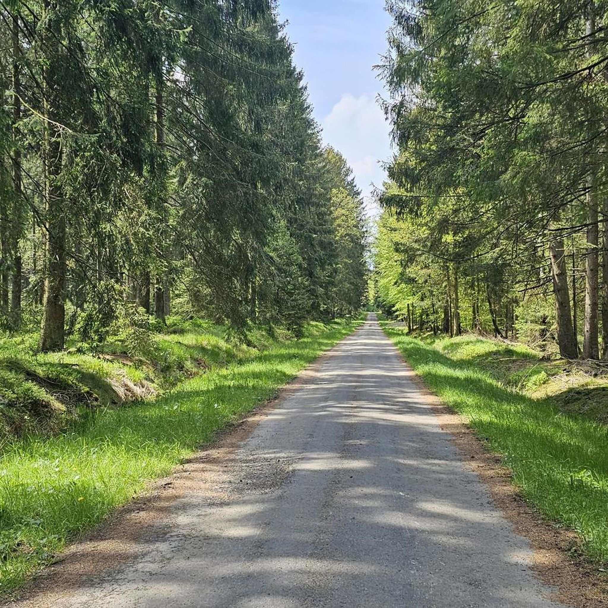
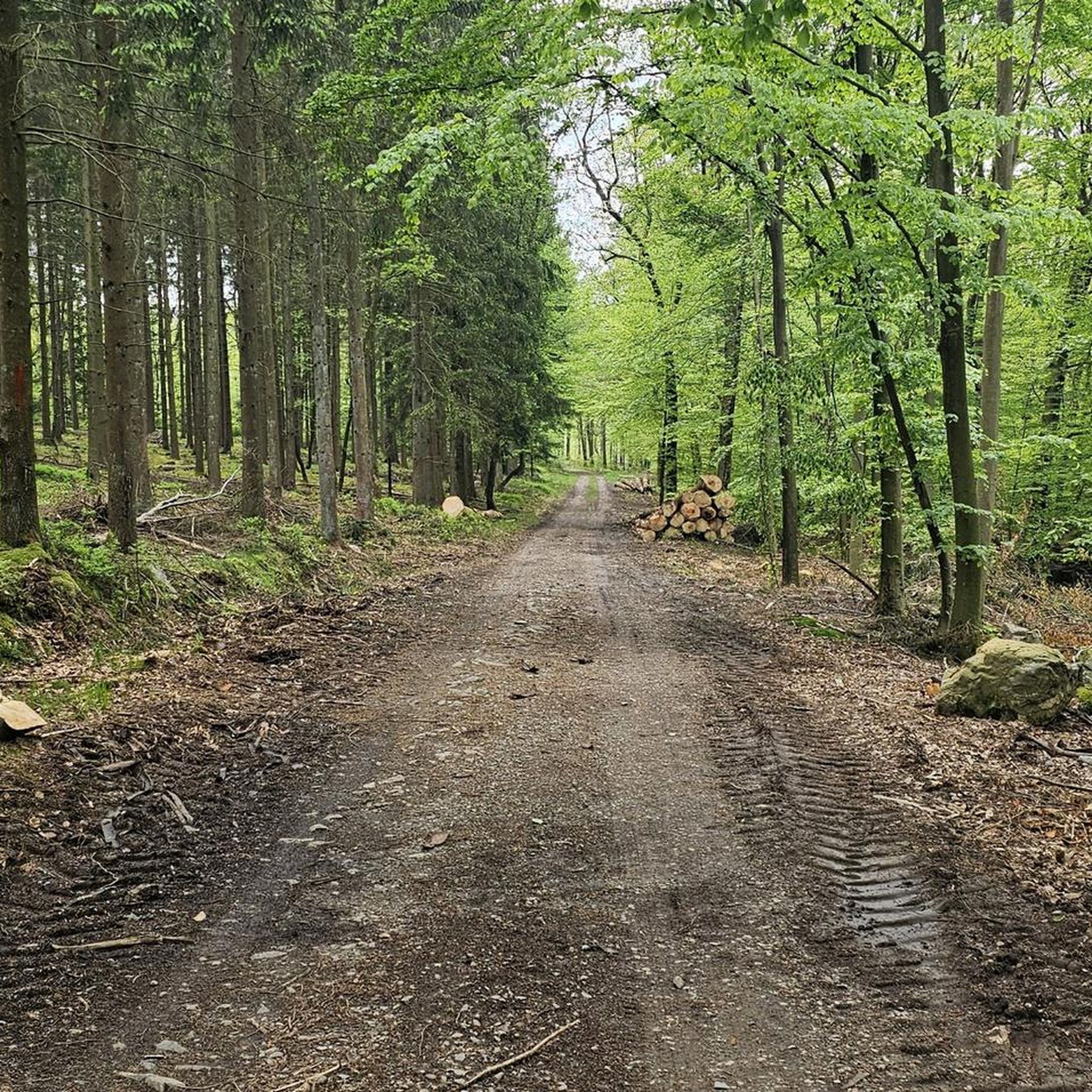
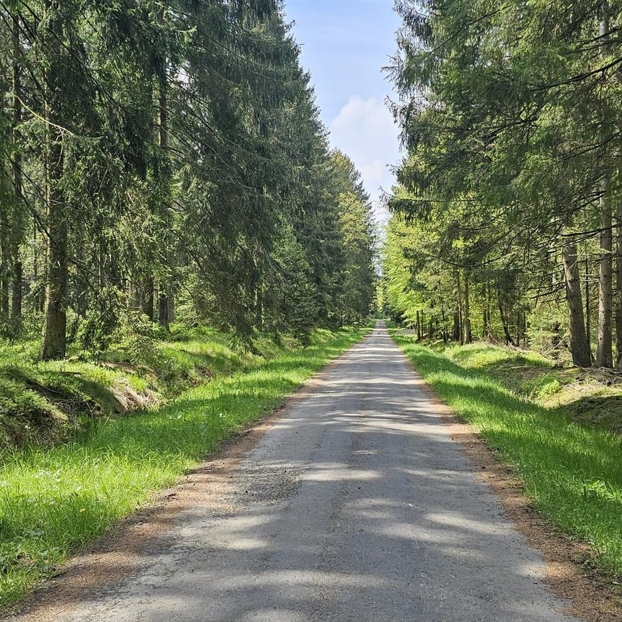
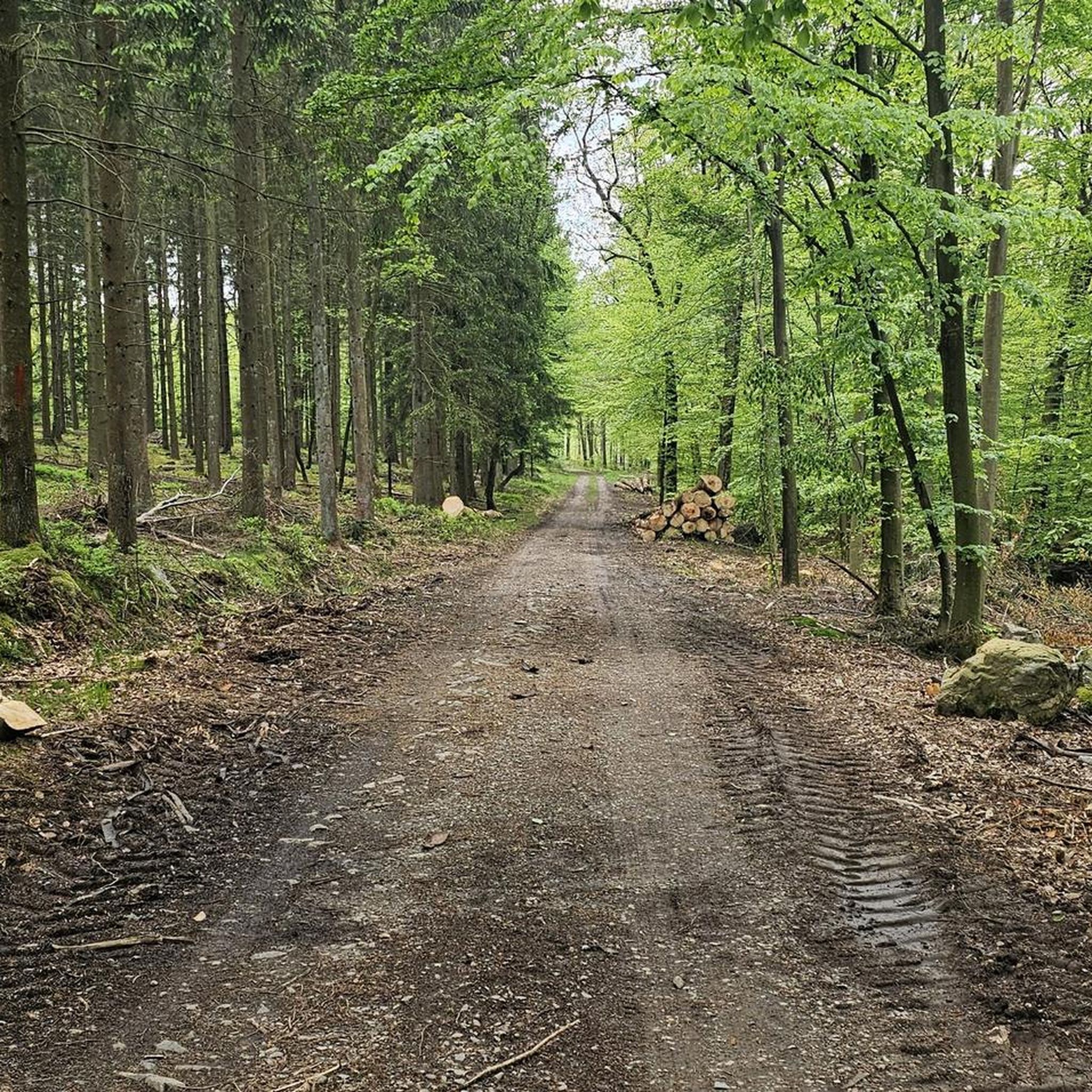
Hiking in Bois De Hatrai offers a network of trails through a diverse forest environment near Verviers. The region is characterized by shaded paths and tranquil settings, providing an ideal escape for outdoor activities. These woodlands feature a mix of tree species, supporting local flora and fauna, and offering varied scenery throughout the seasons. The terrain generally includes gentle ascents and descents, suitable for different experience levels.
Best hiking trails in Bois De Hatrai
- The most popular hiking route is…
Last updated: October 16, 2026
4.6
(219)
1,061
hikers
Moderate hike. Good fitness required. Easily-accessible paths. Suitable for all skill levels.
4.7
(25)
111
hikers
Moderate hike. Good fitness required. Easily-accessible paths. Suitable for all skill levels.

4.8
(5)
17
hikers
Easy hike. Great for any fitness level. Easily-accessible paths. Suitable for all skill levels.
4.7
(3)
16
hikers
5.29km
01:31
130m
130m
Easy hike. Great for any fitness level. Easily-accessible paths. Suitable for all skill levels.
4.4
(5)
22
hikers
12.4km
03:26
220m
220m
Moderate hike. Good fitness required. Easily-accessible paths. Suitable for all skill levels.
Get access to more routes and recommendations from other explorers.
Already have an account?
Our route recommendations are based on thousands of hikes, rides, and runs completed by other people on komoot.
Start today with a free account
Your next adventure awaits.


Tips from the Community

„How beautiful the Earth is, so beautiful! The rivers and lakes know it: They paint in their clear mirror the gardens and cities and hills and the clouds that go over!“ (Robert REINICK, 1805 – 1852)
1
0

A place where it is possible to observe the local wildlife.
3
0
In the middle of the Fagne de Malchamps, the memorial pays tribute to those who gave their lives for our freedom
3
0

The Aérodrome de Spa – La Sauvenière is located on the heights between Spa and Francorchamps, on the edge of the Fagne de Malchamps. The airfield is situated at an altitude of about 470 meters and covers an area of around 75 hectares. Its history dates back to the first air shows in Spa in 1909; the current site has been used for flight operations since 1932. Today, the airfield is mainly used for sport and recreational flying, as well as for parachuting. The Skydive Center Spa is also located on the premises. The airfield is therefore not only a starting point for air sports, but is also situated in an attractive landscape at the foot of the High Fens plateau.
37
0
Not far from the Domaine de Bérinzenne lies this small viewpoint. From the platform, a beautiful view opens up over the vast moor and heath landscape. An information board provides interesting facts about the peculiarities and nature of this area.
41
0

Bridge at Lac de Warfaaz. On the bridge railing, love couples attach a padlock as a symbol of their eternal love.
13
0

Lake Warfaaz is almost empty. Renovations are being done on the banks
5
0

The Pouhon Pia is a natural mineral spring in Spa, located in a wooded area about 150 meters northwest of the Chemin des Fontaines, which connects the source of the Géronstère with those of Sauvenière and Groesbeek. The spring is situated on a small stream, the Ruisseau des Pendus, near the Fagne de Malchamps at an altitude of approximately 435 meters. At the site of the spring stands a small stone fountain from the Géronstère source, installed after a fire in 1893. This fountain building is semi-cylindrical in shape, and there is a nearby shelter.
2
0
Frequently Asked Questions
How many hiking trails are available in Bois De Hatrai?
Bois De Hatrai offers a network of 24 hiking trails. These routes cater to various skill levels, including 13 easy, 10 moderate, and 1 difficult option, ensuring there's a suitable path for almost every hiker.
What is the general terrain like for hiking in Bois De Hatrai?
The terrain in Bois De Hatrai is characterized by diverse forest environments with shaded paths. You'll find gentle ascents and descents throughout the trails, making for a pleasant hiking experience. The region is known for its tranquil settings and varied scenery, particularly along streams.
Are there any easy hiking trails suitable for beginners or families?
Yes, Bois De Hatrai has 13 easy hiking trails. A great option for beginners or families is the Vital Keuller Bridge – La Sauvenière Stream loop from Pouhon La Sauvenière. This 3.5 km path follows the La Sauvenière Stream, offering a peaceful natural setting that is easy to navigate.
What kind of natural features or landmarks can I expect to see along the trails?
While hiking in Bois De Hatrai, you can explore various natural and man-made features. Highlights include the Orléans Monument and the ancient Chêne Al' Bilance. Many trails also feature beautiful sections through mixed deciduous forests and follow the tranquil Wayai Stream.
Are there any circular hiking routes in Bois De Hatrai?
Yes, many of the trails in Bois De Hatrai are circular, allowing you to start and end at the same point. An example is the Domaine de Bérinzenne – Berinzenne Observation Tower loop from Fagne de Malchamps, a moderate 8.4 km route that explores forest paths and offers potential viewpoints.
What do other hikers enjoy most about hiking in Bois De Hatrai?
The area is highly rated by the komoot community, with an average score of 4.5 stars from over 9,000 reviews. Hikers often praise the diverse forest environments, the tranquility of the shaded paths, and the well-maintained network of trails that cater to different abilities. Many appreciate the opportunity for nature observation and the peaceful escape the forest provides.
Are there any longer, more challenging hikes available?
For those seeking a longer hike, the La Sauvenière Stream – View of Spa Town Center loop from Pouhon La Sauvenière is a moderate 14.6 km trail. It leads through varied forest landscapes and along the stream, typically taking around 4 hours and 12 minutes to complete.
Is Bois De Hatrai suitable for dog-friendly walks?
Bois De Hatrai's diverse forest environments and network of trails are generally welcoming for dog walkers. The shaded paths and tranquil settings provide a pleasant experience for both you and your canine companion. Always ensure your dog is under control and check local regulations regarding leashes.
What is the best time of year to go hiking in Bois De Hatrai?
Bois De Hatrai offers varied scenery throughout the seasons due to its mix of tree species. Spring brings fresh greenery, summer provides shaded relief, autumn showcases vibrant colors, and winter offers a serene, quiet atmosphere. The best time depends on your preference for weather and scenery, but the well-maintained trails are generally accessible year-round.
Are there any specific points of interest related to the Spa region near the trails?
Yes, some trails offer connections to the wider Spa region. For instance, the La Sauvenière Stream – View of Spa Town Center loop from Pouhon La Sauvenière provides views towards the town center. You can also find the Spa-La Sauvenière Airfield as a point of interest along some routes, such as the Spa-La Sauvenière Airfield – Wayai Stream loop from Fagne de Malchamps.
Are there any trails that feature streams or water elements?
Yes, several trails in Bois De Hatrai follow or cross streams. The Vital Keuller Bridge – La Sauvenière Stream loop from Pouhon La Sauvenière and the La Sauvenière Stream – View of Spa Town Center loop from Pouhon La Sauvenière both feature the La Sauvenière Stream. Additionally, the Spa-La Sauvenière Airfield – Wayai Stream loop from Fagne de Malchamps includes sections along the Wayai Stream.
What is the typical duration for a hike in Bois De Hatrai?
Hiking durations vary depending on the trail's length and your pace. Easy trails like the Vital Keuller Bridge – La Sauvenière Stream loop can be completed in about an hour. Moderate routes, such as the Domaine de Bérinzenne – Berinzenne Observation Tower loop, typically take around 2 hours and 15 minutes. Longer routes can extend to over 4 hours.
Most popular routes in Bois De Hatrai
Most popular attractions in Bois De Hatrai

Get inspired with the komoot mobile app


Explore more
Browse the best Hikes in other regions.
