The best running trails in Bois Des Vieilles Fagnes
4.4
(608)
23,701
runners
12
runs
Jogging routes in Bois Des Vieilles Fagnes traverse a diverse and well-preserved natural environment, characterized by rolling hills, lush forests, and serene wetlands. The region features Europe's largest moorland plateau, with extensive peat bogs and heathland, often accessible via wooden boardwalks. Beyond the open moorlands, large forests like the Hertogenwald and picturesque valleys with rivers and dams offer varied terrain for running.
Best jogging routes in Bois Des Vieilles Fagnes
- The most popular jogging route is Berinzenne Observation Tower –…
Last updated: October 13, 2026
4.8
(4)
80
runners
Moderate run. Good fitness required. Mostly paved surfaces. Suitable for all skill levels.
24
runners
8.37km
00:54
110m
110m
Moderate run. Good fitness required. Mostly paved surfaces. Suitable for all skill levels.

5.0
(1)
21
runners
Moderate run. Good fitness required. Mostly paved surfaces. Suitable for all skill levels.
5.0
(3)
17
runners
8.79km
01:01
140m
140m
Moderate run. Good fitness required. Mostly paved surfaces. Suitable for all skill levels.
4.0
(1)
8
runners
Moderate run. Good fitness required. Mostly paved surfaces. Suitable for all skill levels.
Get access to more routes and recommendations from other explorers.
Already have an account?
Our route recommendations are based on thousands of hikes, rides, and runs completed by other people on komoot.
Start today with a free account
Your next adventure awaits.


Tips from the Community

„How beautiful the Earth is, so beautiful! The rivers and lakes know it: They paint in their clear mirror the gardens and cities and hills and the clouds that go over!“ (Robert REINICK, 1805 – 1852)
1
0

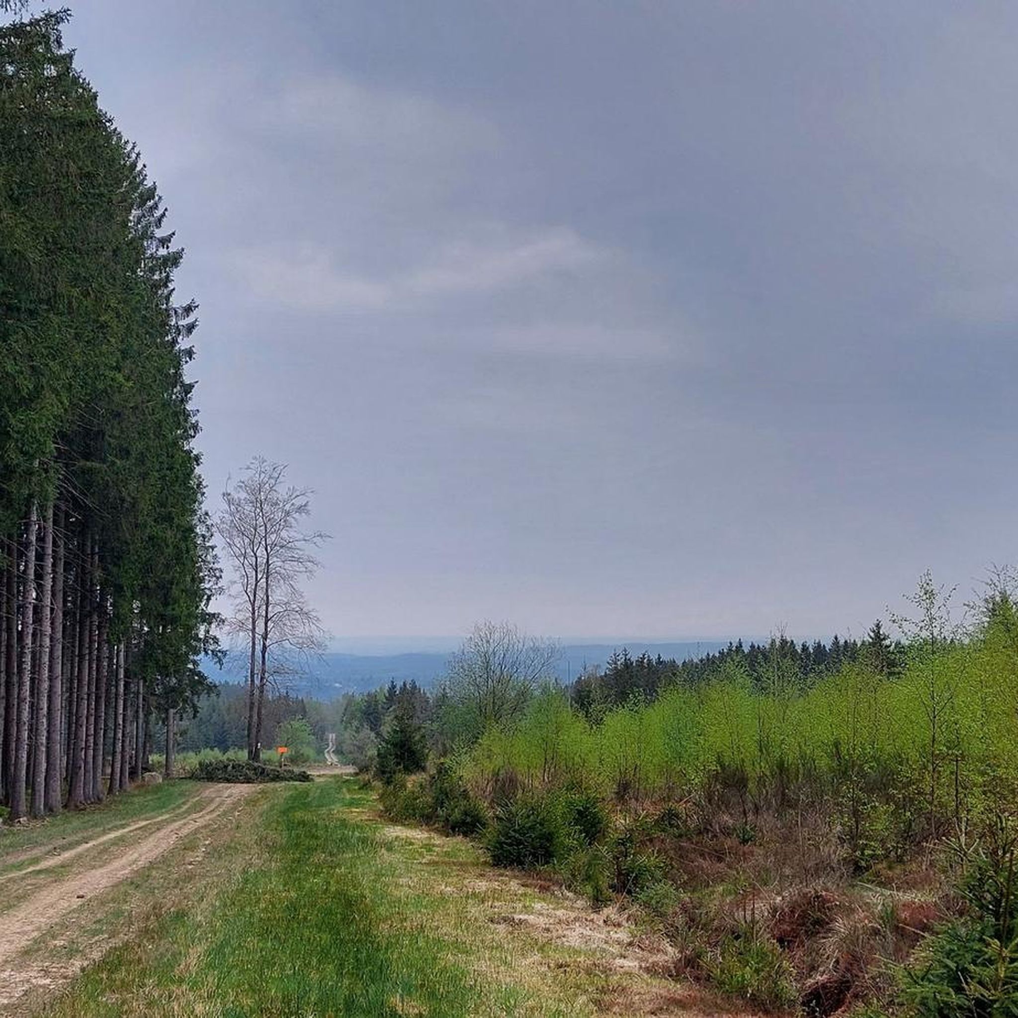
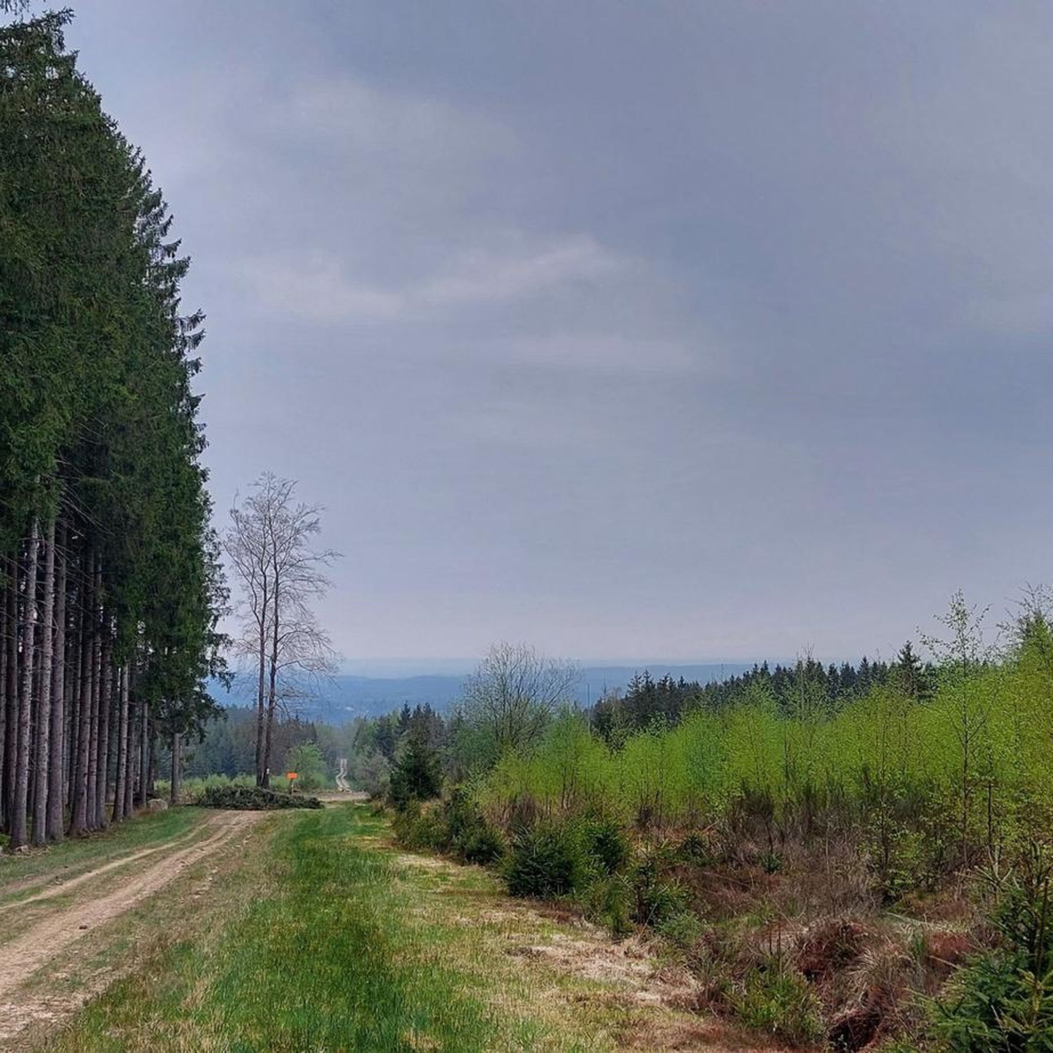
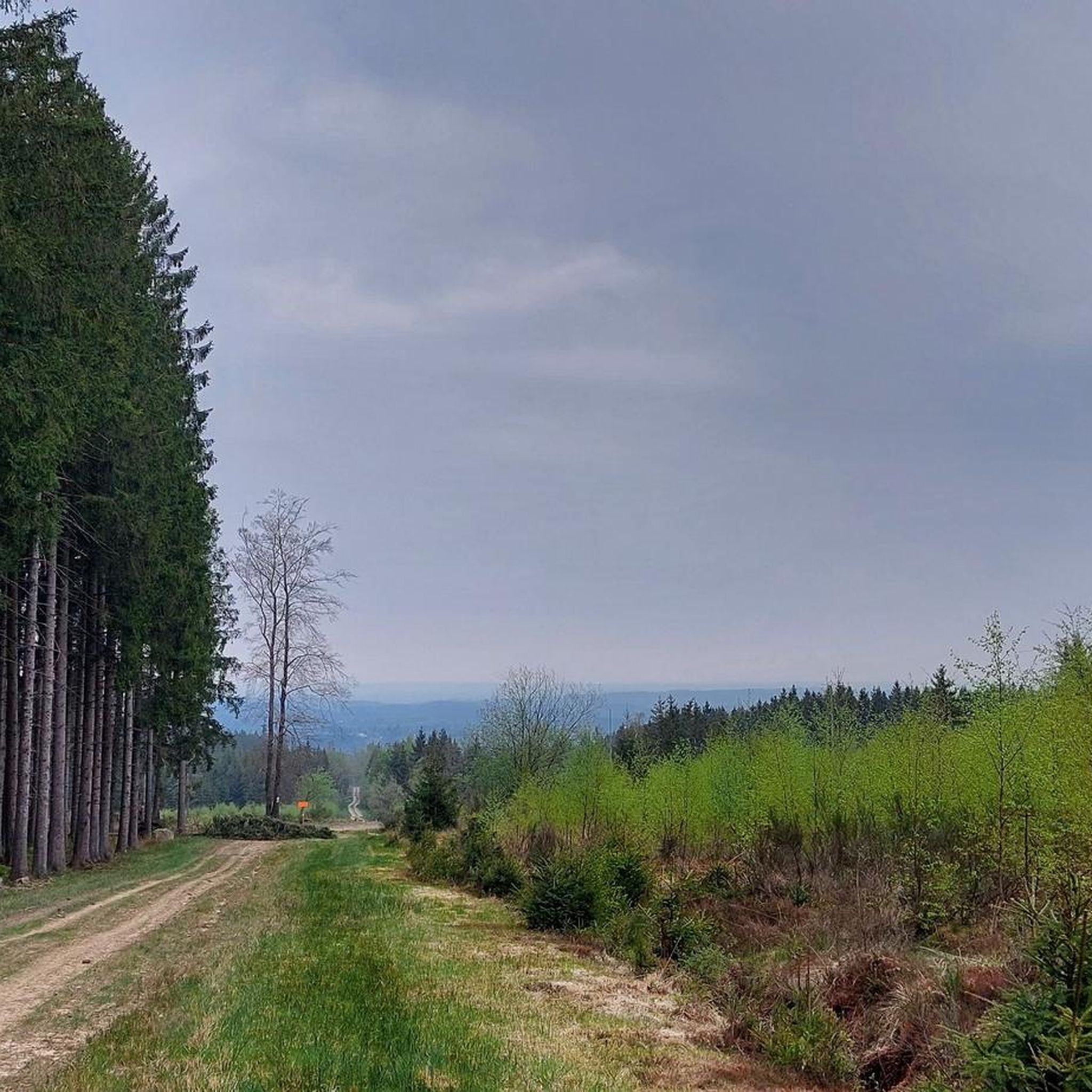
A place where it is possible to observe the local wildlife.
3
0
In the middle of the Fagne de Malchamps, the memorial pays tribute to those who gave their lives for our freedom
3
0

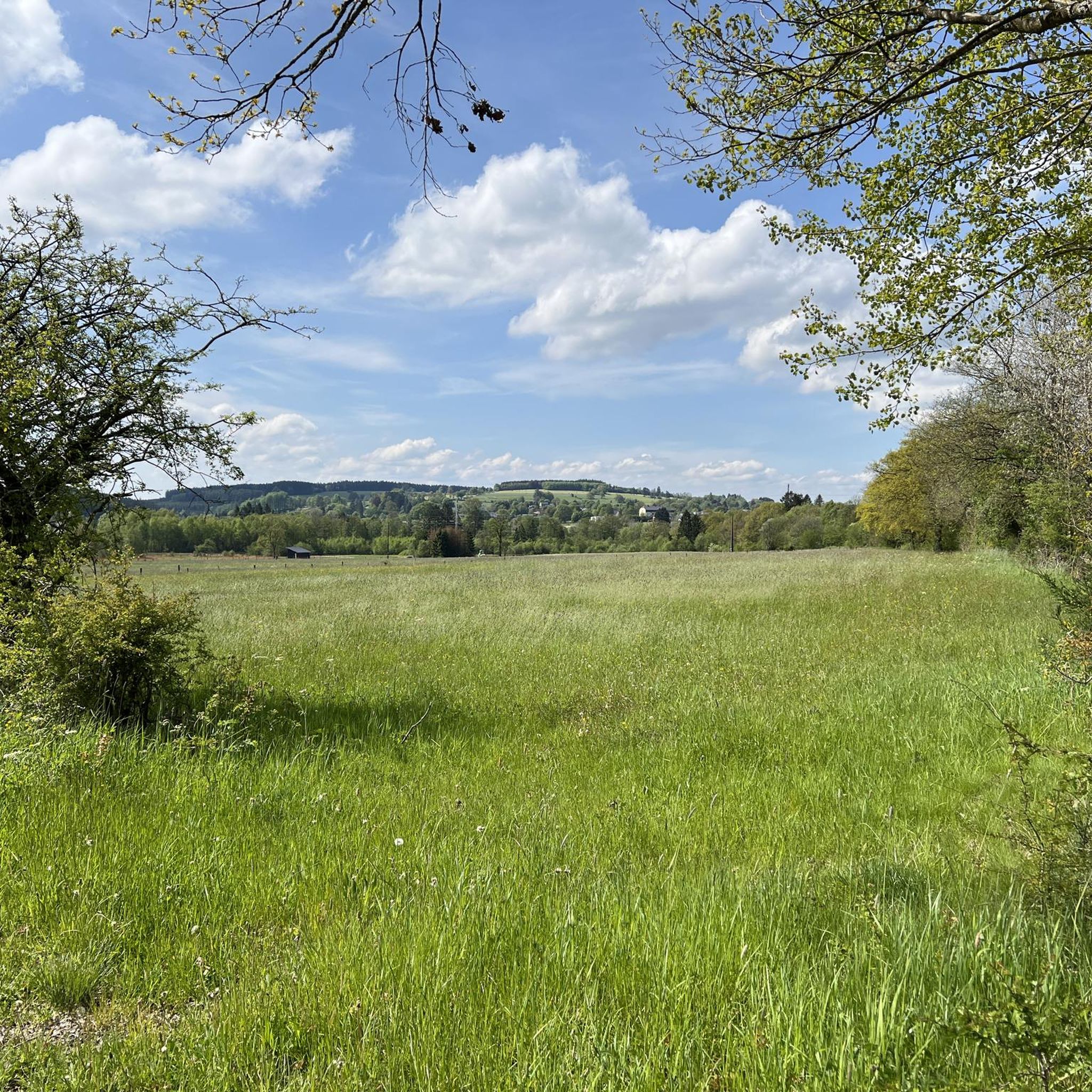
The Aérodrome de Spa – La Sauvenière is located on the heights between Spa and Francorchamps, on the edge of the Fagne de Malchamps. The airfield is situated at an altitude of about 470 meters and covers an area of around 75 hectares. Its history dates back to the first air shows in Spa in 1909; the current site has been used for flight operations since 1932. Today, the airfield is mainly used for sport and recreational flying, as well as for parachuting. The Skydive Center Spa is also located on the premises. The airfield is therefore not only a starting point for air sports, but is also situated in an attractive landscape at the foot of the High Fens plateau.
38
0

300 year old tree and an elm at that!
2
0

In wet weather, or even in wet weather days beforehand, always wear sturdy footwear.
0
0

So cool to see this and to hike here.
2
0
Really very beautiful.
1
0
Frequently Asked Questions
How many running routes are available in Bois des Vieilles Fagnes?
Bois des Vieilles Fagnes offers a vast network of trails, with over 700 running routes recorded on komoot. This includes a wide variety of options, from easy paths to more challenging ascents, ensuring there's something for every runner.
Are there easy or beginner-friendly running trails in Bois des Vieilles Fagnes?
Yes, the region provides 37 easy running routes, perfect for beginners or those looking for a relaxed jog. These trails often feature well-maintained pathways and gentle inclines, allowing you to enjoy the natural beauty without excessive strain.
What kind of landscapes can I expect to see while running in Bois des Vieilles Fagnes?
Runners in Bois des Vieilles Fagnes will experience a diverse natural environment. The region is known for its extensive moorlands and peat bogs, often featuring wooden boardwalks. You'll also find lush forests, rolling hills, serene wetlands, and picturesque valleys, such as those around the Hoëgne and Our rivers.
Are there any running routes that feature waterfalls or unique water features?
Absolutely! For a scenic run featuring water, consider the Hoëgne Waterfalls – Wooden Bridges of the Hoëgne Valley loop from Hoëgne. This challenging 22.6 km route takes you past beautiful waterfalls and across wooden bridges within the Hoëgne Valley.
Can I find circular running routes in Bois des Vieilles Fagnes?
Yes, many of the running routes in Bois des Vieilles Fagnes are circular, offering convenient starting and ending points. An example is the Berinzenne Observation Tower – Spa-La Sauvenière Airfield loop from Fagne de Malchamps, a moderate 9.4 km trail that brings you back to your starting point.
What are some notable landmarks or viewpoints along the running trails?
The region offers several inspiring landmarks. The Berinzenne Observation Tower – Spa-La Sauvenière Airfield loop from Fagne de Malchamps provides views from an observation tower. Additionally, Signal de Botrange, the highest point in Belgium, features a 28-meter-high tower offering panoramic views of the moorland plateau, making it a great destination for a run.
Is Bois des Vieilles Fagnes suitable for family-friendly jogging?
Yes, the extensive trail network includes many well-maintained pathways that are suitable for families. The easier routes, with their flat and safe conditions, are ideal for a family jog, allowing everyone to enjoy the tranquil escape into nature.
What do other runners enjoy most about jogging in Bois des Vieilles Fagnes?
The running routes in Bois des Vieilles Fagnes are highly rated by the komoot community, with an average score of 4.4 stars from over 500 reviews. Runners often praise the diverse terrain, the unique moorland and peat bog landscapes with their wooden boardwalks, and the peaceful atmosphere of the dense forests like the Hertogenwald.
Are there any running routes that go through dense forests?
Certainly! If you enjoy running through woodlands, the The Majestic Spruces of 1850 – Stream crossing loop from Francorchamps is an excellent choice. This difficult 13.0 km path leads you through dense forest, featuring majestic spruces and stream crossings.
When is the best time of year to go running in Bois des Vieilles Fagnes?
Bois des Vieilles Fagnes offers seasonal beauty year-round. Spring brings blooming flora and vibrant colors in the bogs, while autumn transforms the landscape with rich hues. Even winter offers opportunities for serene runs through a blanket of snow, making it a captivating experience in any season.
Are there any running routes along rivers or valleys?
Yes, the region features picturesque valleys and rivers. The Running loop from Hoëgne, a moderate 8.4 km trail, leads directly through the scenic Hoëgne valley. Another option is the Bridge over the river – View of the Hoëgne River loop from Cokaifagne, which offers views of the Hoëgne River.
Most popular routes in Bois Des Vieilles Fagnes

Get inspired with the komoot mobile app


Explore more
Browse the best Running Trails & Routes in other regions.
