The best road cycling routes in Buchanan State Forest
20
riders
3
rides
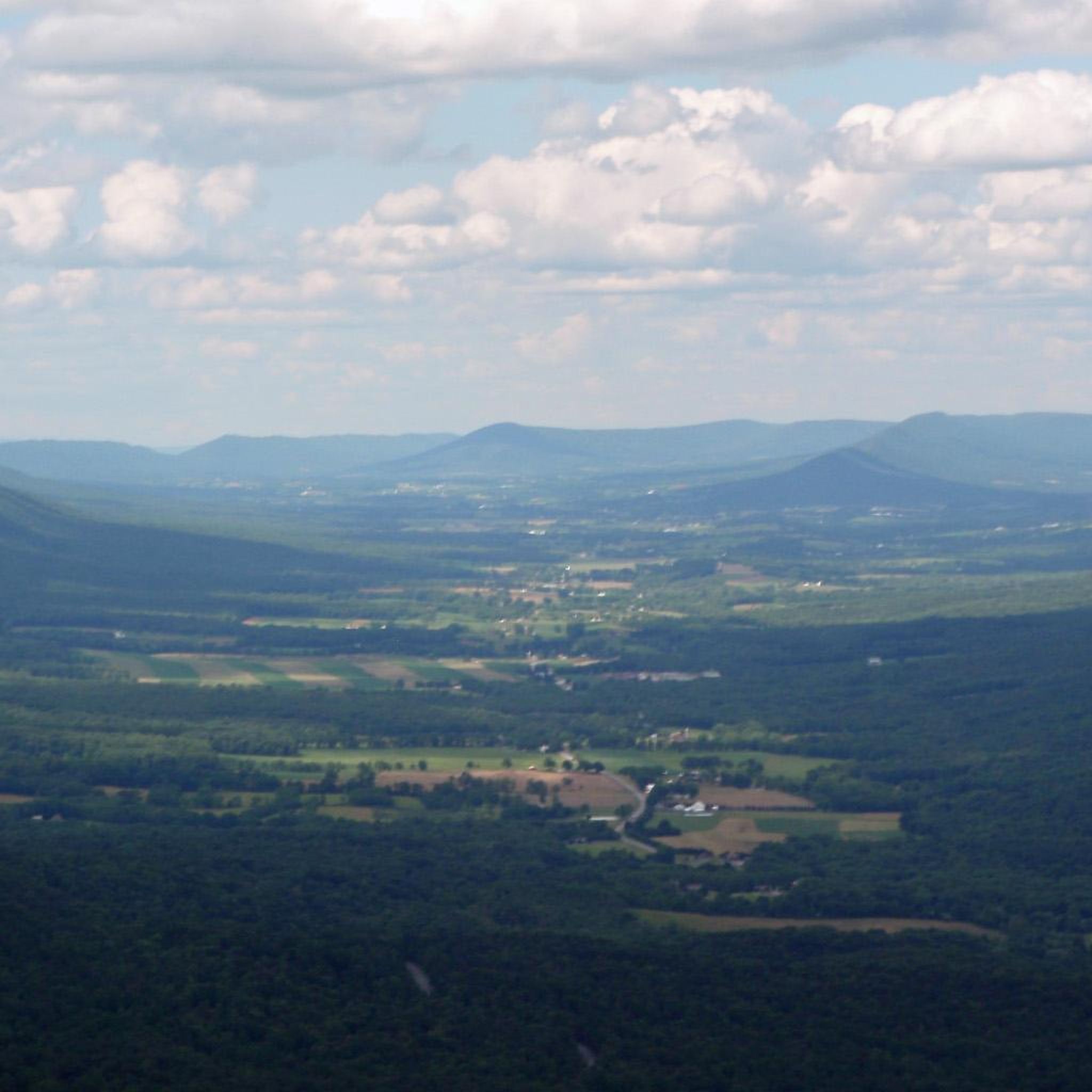
Road cycling routes in Buchanan State Forest traverse a diverse landscape in south-central Pennsylvania, spanning Bedford, Fulton, and Franklin Counties. The region is characterized by verdant woodlands, mixed oak communities, and pine groves, nestled within the Ridge-and-Valley physiographic province. Elevations range from 420 feet to 2,700 feet, offering varied terrain for road cyclists. Paved scenic roads and the unique Abandoned Pennsylvania Turnpike provide distinct cycling experiences.
Best road cycling routes in Buchanan State Forest
- The most popular road cycling route…
Last updated: June 28, 2026
16
riders
29.1km
01:54
280m
280m
Moderate road ride. Great for any fitness level. Some segments of this route may be unpaved and difficult to ride.
2
riders
111km
06:41
2,140m
2,140m
Hard road ride. Very good fitness required. Some segments of this route may be unpaved and difficult to ride.

Sign up for free
2
riders
76.4km
04:00
1,370m
1,370m
The Fagan CREP Easement – Browning CREP Easement loop from Cumberland offers a demanding road cycling experience through the scenic Cumberland Mountains and Plateau. This difficult 47.5-mile (76.4 km) route…
Our route recommendations are based on thousands of hikes, rides, and runs completed by other people on komoot.
Start today with a free account
Your next adventure awaits.
Login or Signup
Popular around Buchanan State Forest
Tips from the Community

One of my favorites! Mostly flat and easy with some slightly uphill sections. Family friendly with wi-fi connectivity, food resupply and lodging/camping available (not too many options as the C&O is offering.... just plan ahead)
0
0

The official Mile 0 of the Great Allegheny Passage is found in downtown Cumberland under the arch, next to the train station and connected to the northern terminus of the C&O Canal and Towpath. The town is well-connected, with Amtrak service and ample overnight parking.
0
0
The official Mile 0 of the Great Allegheny Passage is found in downtown Cumberland under the arch, next to the train station and connected to the northern terminus of the C&O Canal and Towpath. The town is well-connected, with Amtrak service that accepts bikes and ample parking.
0
0
Frequently Asked Questions
What kind of terrain can I expect when road cycling in Buchanan State Forest?
Buchanan State Forest offers a diverse landscape for road cyclists, ranging from elevations of 420 feet to 2,700 feet. You'll find verdant woodlands, mixed oak communities, and pine groves, with routes featuring varied terrain from moderate climbs to challenging ascents. The region is characterized by Pennsylvania's Ridge-and-Valley physiographic province, meaning you can expect both scenic flat stretches and significant elevation changes.
Are there road cycling routes suitable for different skill levels in Buchanan State Forest?
Yes, Buchanan State Forest provides options for various skill levels. For instance, the Cove Valley Travel Plaza loop from East Providence Township is a moderate route, ideal for those seeking a balanced ride. More experienced cyclists looking for a challenge might prefer routes like the Lake Gordon – Lake Koon loop from Silver Mills or the McNamee Hill loop from Cumberland, both of which feature significant elevation changes.
What unique road cycling experience does the Abandoned Pennsylvania Turnpike offer?
The Abandoned Pennsylvania Turnpike, often called 'The Old PA Pike Trail,' provides a truly unique 8.5-mile, car-free, paved cycling experience. This historic stretch of deserted roadway features two eerily dark tunnels, one over a mile long, preserved as they were when the road closed in 1968. It's an unforgettable adventure for road cyclists seeking a distinctive ride through history.
What natural features or landmarks can I see while road cycling in Buchanan State Forest?
Buchanan State Forest is rich in natural beauty and historical sites. You can enjoy numerous scenic vistas like Warrior Ridge Vista, Rainsburg Vista, and Big Mountain Overlook, many of which are roadside and particularly stunning during fall foliage. The forest also contains historic sites such as pre-Civil War cemeteries, remnants of Civilian Conservation Corps (CCC) camps, and an 1880s stone aqueduct accessible via the Railroad Arch Trail.
Are there other paved roads suitable for road cycling in the forest besides the main routes?
Beyond the specific routes highlighted, Buchanan State Forest contains numerous paved public roads that can be incorporated into road cycling adventures. Many of these are designated as 'scenic drives,' offering beautiful scenery, winding paths, and varying elevations. While less trafficked, cyclists should always be mindful of shared road conditions and consult detailed maps for suitability.
Is Buchanan State Forest suitable for family-friendly road cycling?
For families, the Abandoned Pennsylvania Turnpike offers an excellent car-free, paved environment that is generally considered family-friendly. Its unique historical aspect and lack of vehicle traffic make it a safe and engaging option for cyclists of all ages. For other paved roads, families should consider routes with less traffic and gentler gradients.
Can I bring my dog along for a road cycling trip in Buchanan State Forest?
Generally, dogs are permitted in Pennsylvania State Forests, including Buchanan State Forest, but they must be on a leash and under control at all times. When cycling, ensure your dog is accustomed to the activity and that you adhere to all leash laws and clean-up regulations. The car-free Abandoned Pennsylvania Turnpike can be a good option for cycling with a well-behaved, leashed dog.
Where can I find parking when planning a road cycling trip in Buchanan State Forest?
Parking is available at various access points and trailheads throughout Buchanan State Forest. For the Abandoned Pennsylvania Turnpike, specific parking areas are designated at its eastern and western ends. For other routes, look for parking near state forest roads or designated recreational access points. Always check local signage for specific parking regulations.
Is public transport available to reach Buchanan State Forest or its cycling routes?
Public transport options directly into the remote areas of Buchanan State Forest are generally limited. Most visitors access the forest by private vehicle. If you are planning to visit, it is advisable to arrange your own transportation to reach the trailheads and cycling routes within the forest.
Are there any permits or specific regulations for road cycling in Buchanan State Forest?
For general road cycling on public roads within Buchanan State Forest, specific permits are typically not required. However, it's always recommended to be aware of and follow all Pennsylvania Department of Conservation and Natural Resources (DCNR) regulations for state forests. You can find more information on the official DCNR website: pa.gov/agencies/dcnr/recreation/where-to-go/state-forests/find-a-forest/buchanan.
What is the best time of year to go road cycling in Buchanan State Forest?
The best time for road cycling in Buchanan State Forest is generally during the spring, summer, and fall months. Spring offers lush greenery, while fall is particularly stunning with vibrant foliage, especially at the numerous scenic vistas. Summer provides warm weather, but be prepared for potential heat and humidity. Winter cycling can be challenging due to snow and ice, especially on higher elevation roads.
Are there cafes or pubs near the road cycling routes in Buchanan State Forest?
Buchanan State Forest is a largely natural and undeveloped area, so amenities like cafes and pubs are not typically found directly along the cycling routes within the forest itself. However, you can find dining options in nearby towns such as Breezewood, McConnellsburg, or Everett, which are usually a short drive from the forest's access points.
Most popular routes in Buchanan State Forest

Get inspired with the komoot mobile app


