The best road cycling routes in Headwaters State Forest
270
riders
21
rides
Road cycling routes in Headwaters State Forest navigate the scenic Southern Appalachian Mountains of Transylvania County, North Carolina. While cycling is not permitted within the undeveloped forest itself, the surrounding region offers diverse road cycling opportunities. The area features challenging climbs, smooth tarmac, and country roads with views of rolling farmland. Routes often include access to iconic cycling areas like the Blue Ridge Parkway and pass near other forests such as Pisgah National Forest.
Best road cycling routes in Headwaters…
Last updated: July 2, 2026
88
riders
Moderate road ride. Good fitness required. Mostly well-paved surfaces and easy to ride.
4
riders
Hard road ride. Very good fitness required. Some segments of this route may be unpaved and difficult to ride.

Sign up for free
15
riders
102km
05:20
1,750m
1,750m
Hard road ride. Very good fitness required. Mostly well-paved surfaces and easy to ride.
10
riders
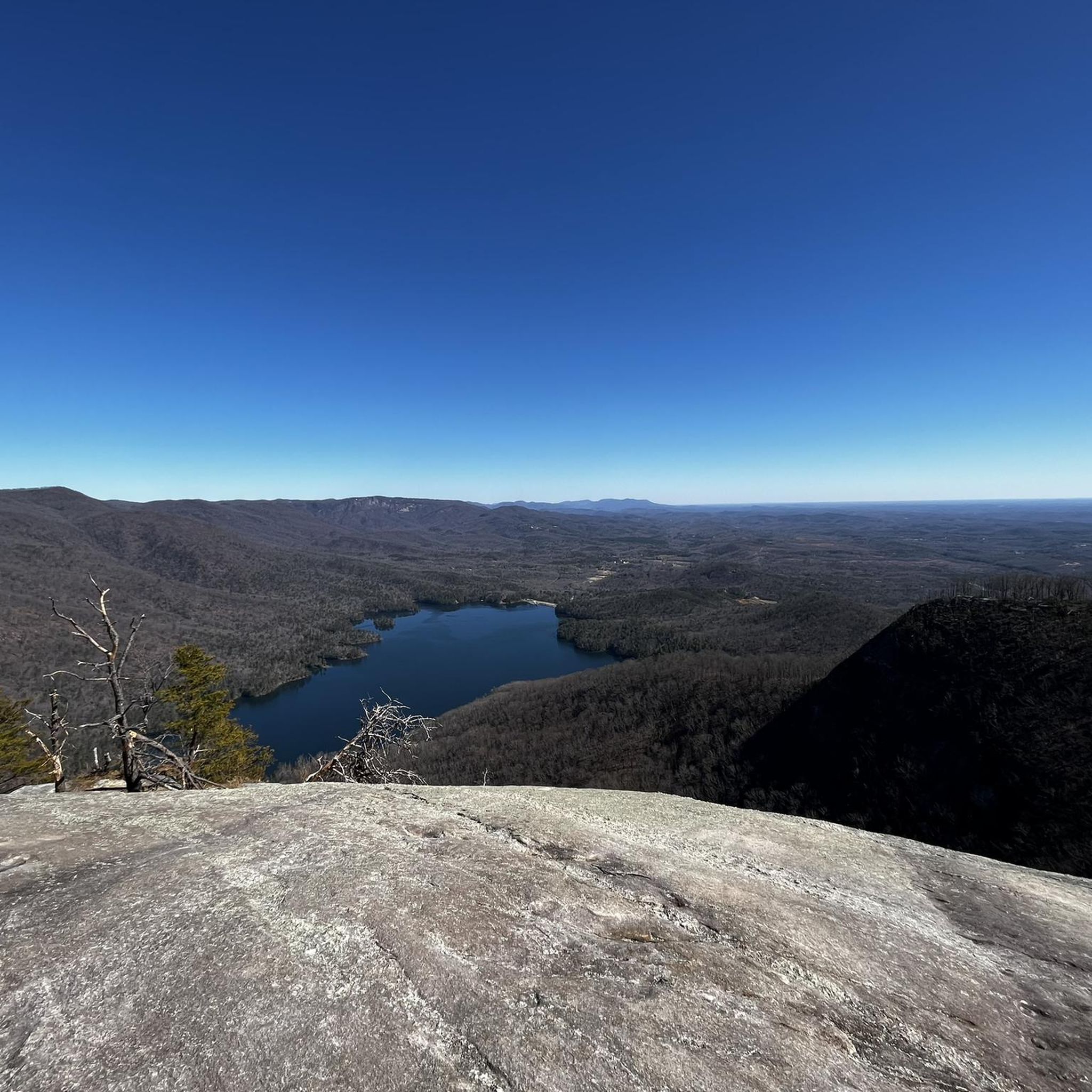
The Sassafras Mountain Climb – View from Sassafras Mountain loop from Caesars Head State Park is a formidable road cycling route that takes you through the heart of the Blue…
15
riders
58.9km
02:45
720m
720m
The Jones Gap – South Country Club Road loop is a fantastic road cycling route that takes you through the heart of the Blue Ridge Escarpment, offering a dynamic ride…
Get access to more routes and recommendations from other explorers.
Sign up for free
Already have an account?
Our route recommendations are based on thousands of hikes, rides, and runs completed by other people on komoot.
Start today with a free account
Your next adventure awaits.
Login or Signup
Popular around Headwaters State Forest

Tips from the Community

Whaleback Falls is in Pisgah National Forest and is a beautiful waterfall and swimming hole into a tranquil bend of the Davidson River. It is a great place to take a quick dip to cool off during a long ride.
0
0
The Pisgah Ranger Station is both the administrative hub for the Pisgah Ranger District and a visitor center with interpretive exhibits, maps, and a gift shop. The visitor center is open year round.
0
0

Davidson River marks the southern start of the Art Loeb Trail. It’s a good spot to filter water before the climb ahead. Expect a gradual but steady ascent as you leave the valley and head into the forested hills. This is a popular fly-fishing spot with crystal-clear waters and abundant trout, including brown, brook, and rainbow.
0
0

The views from this quiet winding road are lovely with the wooded hills in the background. Keep your eye out for the interesting bird species that live in the surrounding woods.
0
0

Eastatoe Creek Heritage Preserve is a 374-acre tract of land that features its namesake, Eastatoe Creek. The preserve is also home to several rare species of ferns and wildflowers.
0
0

Step off the bike and take the turn off of the main road to find the Looking Glass Falls Viewpoint. Looking Glass Falls is the perfect quick pit-stop for everyone since it is practically right next to the parking lot. The accessibility to the falls viewing area was kept in mind during designing so that anyone would be able to view the beautiful scene; keep in mind that there are steps leading to the upper viewing platform.
0
0

Timmons Pond is a small pond just off of Pumpkintown Road in Slater-Marietta, South Carolina, on the border of North and South Carolina. This is a nice spot to keep an eye out for birds and other wildlife as you ride by.
0
0

Jones Gap is a mountain pass on the South and North Carolina border. At an elevation of 2,929ft (893m) it gives you a good elevation gain hit just to get here and on the way it has a maximum gradient of 11%. The pass road is 16.4 miles (26.39km) long, running from Cedar Mountain towards Cleveland. You are in for a pretty great ride!
0
0
Frequently Asked Questions
Where can I find road cycling routes near Headwaters State Forest?
While road cycling is not permitted within Headwaters State Forest itself due to its undeveloped nature, the surrounding Transylvania County and Brevard area offer extensive opportunities. You can find routes that explore scenic byways, country roads, and even access iconic areas like the Blue Ridge Parkway.
How many road cycling routes are available in the Headwaters State Forest region?
There are over 25 road cycling routes available in the region surrounding Headwaters State Forest. These routes offer a variety of experiences, from moderate loops to challenging mountain ascents.
What is the difficulty level of road cycling routes in this area?
The region offers a mix of difficulties. You'll find 10 moderate routes and 15 difficult routes, catering to various skill levels. For example, the South Country Club Road loop from East Fork French Broad River is a moderate option, while the Sassafras Mountain Climb – Sassafras Mountain Viewpoint loop from Caesars Head State Park presents a significant challenge.
Are there any family-friendly road cycling options near Headwaters State Forest?
While Headwaters State Forest itself is rugged backcountry, the broader Transylvania County area offers country roads with less traffic that can be suitable for families. Look for routes with lower elevation gain and away from major thoroughfares for a more relaxed experience.
What kind of landscapes can I expect to see while road cycling in the region?
You can expect stunning Southern Appalachian Mountain scenery. Routes often feature challenging mountain climbs, smooth tarmac, and quiet country roads with views of rolling farmland. Some routes may also offer glimpses of the Blue Ridge Parkway or pass near other forests like Pisgah National Forest.
Are there any notable viewpoints or landmarks along the road cycling routes?
Yes, the region is rich in scenic beauty. While cycling, you might encounter routes that offer panoramic views, especially on climbs towards areas like Sassafras Mountain. The Looking Glass Falls Viewpoint – Pisgah Ranger Station loop from Gordon Mountain, for instance, provides extensive riding through areas with scenic viewpoints.
What is the best time of year for road biking near Headwaters State Forest?
The spring and fall seasons generally offer the most pleasant conditions for road cycling in the Southern Appalachian Mountains, with milder temperatures and beautiful foliage. Summers can be warm, and winters may bring colder temperatures and potential for icy roads at higher elevations.
Are there any circular road cycling routes available?
Yes, many of the routes in the region are designed as loops. For example, the Bunker Hill – South Country Club Road loop from Rosman is a popular circular route, as is the View of Dupont Lake – South Country Club Road loop from Gwen Valley.
Can I find routes that connect to other popular cycling areas?
Absolutely. The region's road cycling network often includes access to iconic cycling areas like the Blue Ridge Parkway. Routes also pass near other popular destinations such as DuPont State Recreational Forest and Pisgah National Forest, offering diverse cycling experiences.
What should I know about parking when planning a road cycling trip in this area?
Parking availability varies by starting point. When planning your route, check the specific tour details on komoot for recommended parking locations. Many routes start from towns or designated parking areas that cater to outdoor enthusiasts.
Are there any amenities like cafes or accommodation near the road cycling routes?
The town of Brevard, located near Headwaters State Forest, is a recognized cycling hub and offers a range of amenities including cafes, restaurants, and accommodation options. Many routes start or pass through areas where you can find places to refuel and rest.
Most popular routes in Headwaters State Forest

Get inspired with the komoot mobile app


