The best road cycling routes around Gierschnach
4.5
(463)
7,354
riders
113
rides
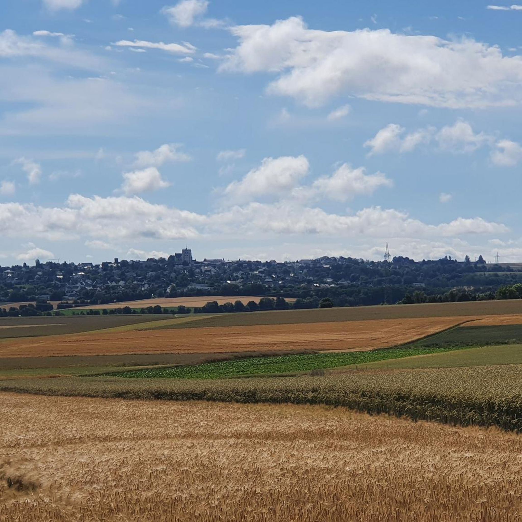
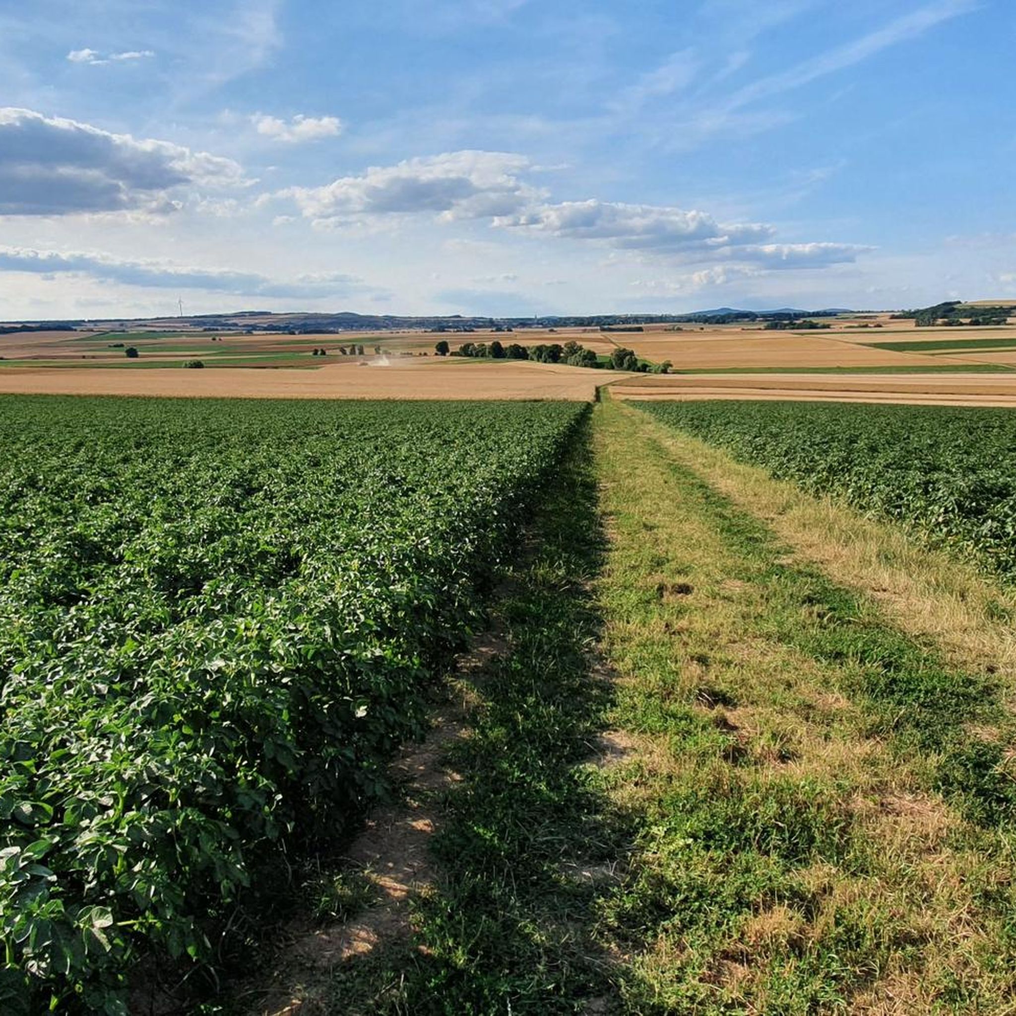
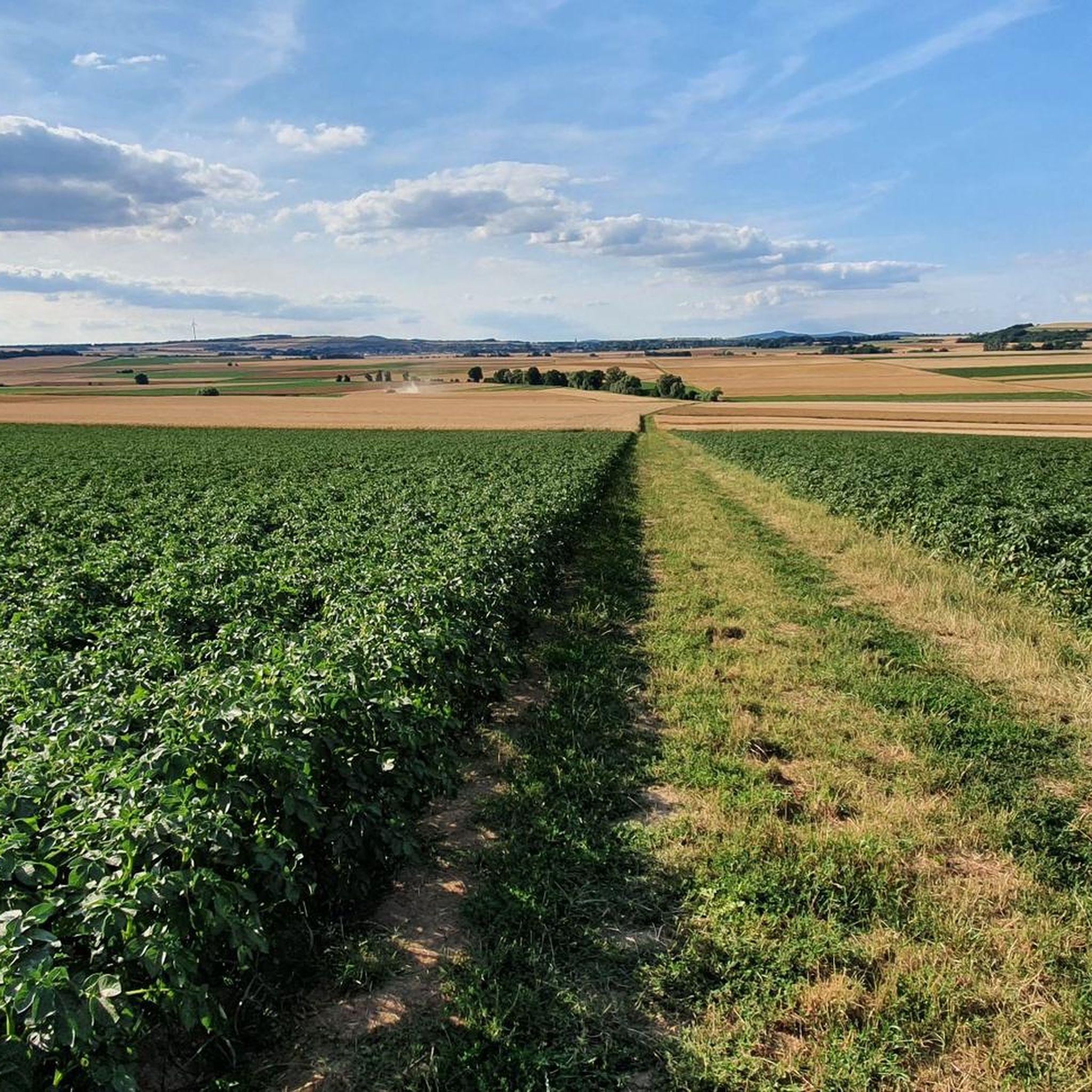
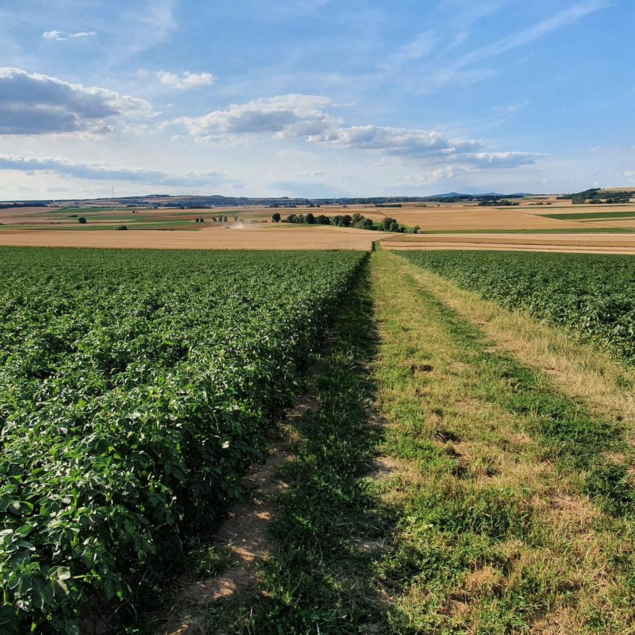
Road cycling around Gierschnach offers varied terrain across the Rhineland countryside, situated near the Middle Rhine Valley, Eifel, and Westerwald regions. The landscape features rolling hills, river valleys, and low mountain ranges, providing diverse routes. Cyclists can navigate paths along the Rhine and Moselle rivers or ascend through the Eifel and Westerwald. This geographical position supports a range of road cycling experiences, from moderate riverbank rides to more challenging climbs.
Best road cycling routes around Gierschnach
- The most popular road…
Last updated: July 10, 2026
4.6
(39)
795
riders
52.5km
02:37
540m
540m
Moderate road ride. Good fitness required. Some segments of this route may be unpaved and difficult to ride.
5.0
(4)
114
riders
Moderate road ride. Good fitness required. Some segments of this route may be unpaved and difficult to ride.

Sign up for free
4.1
(28)
178
riders
44.2km
01:56
410m
410m
Moderate road ride. Good fitness required. Mostly well-paved surfaces and easy to ride.
4.7
(6)
54
riders
55.6km
02:56
970m
970m
Hard road ride. Very good fitness required. Mostly well-paved surfaces and easy to ride.
4.7
(3)
30
riders
31.5km
01:38
440m
450m
Moderate road ride. Good fitness required. Some segments of this route may be unpaved and difficult to ride.
Get access to more routes and recommendations from other explorers.
Sign up for free
Already have an account?
Our route recommendations are based on thousands of hikes, rides, and runs completed by other people on komoot.
Start today with a free account
Your next adventure awaits.
Login or Signup
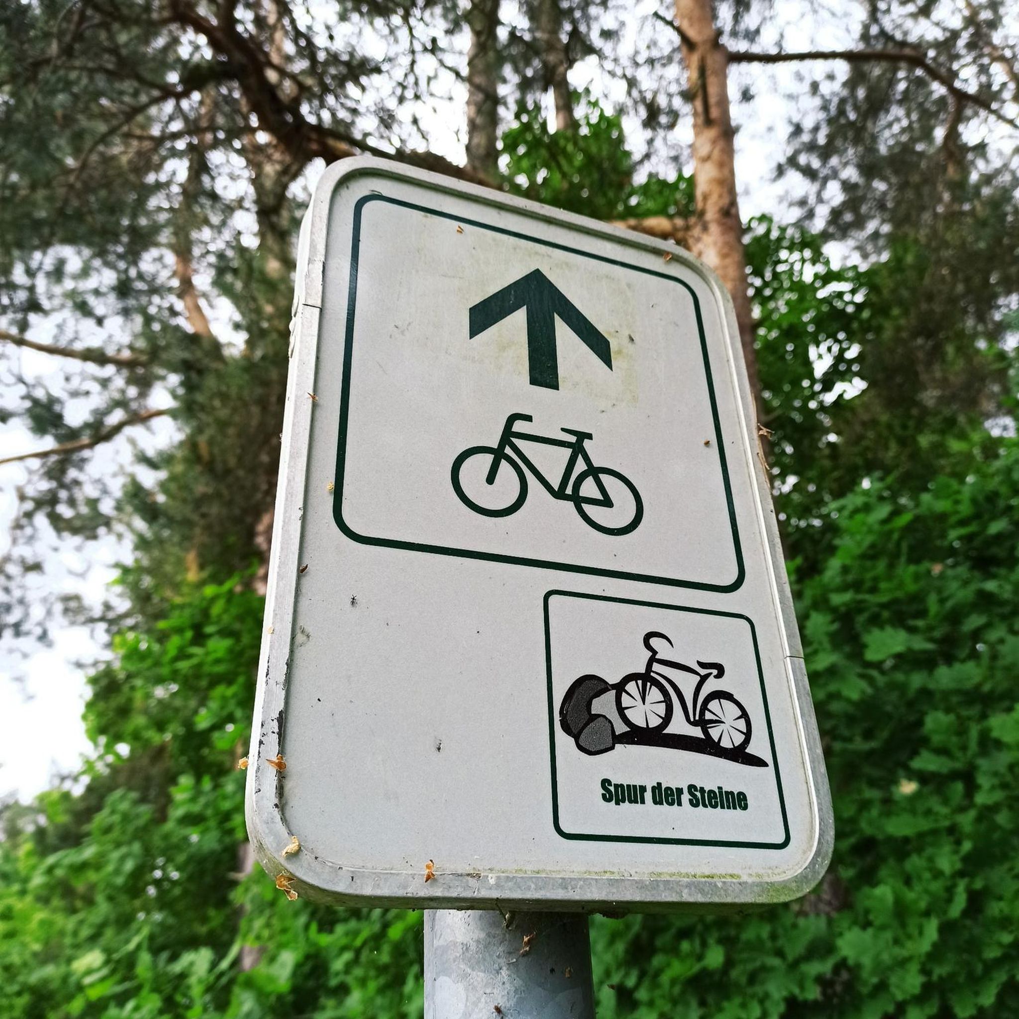
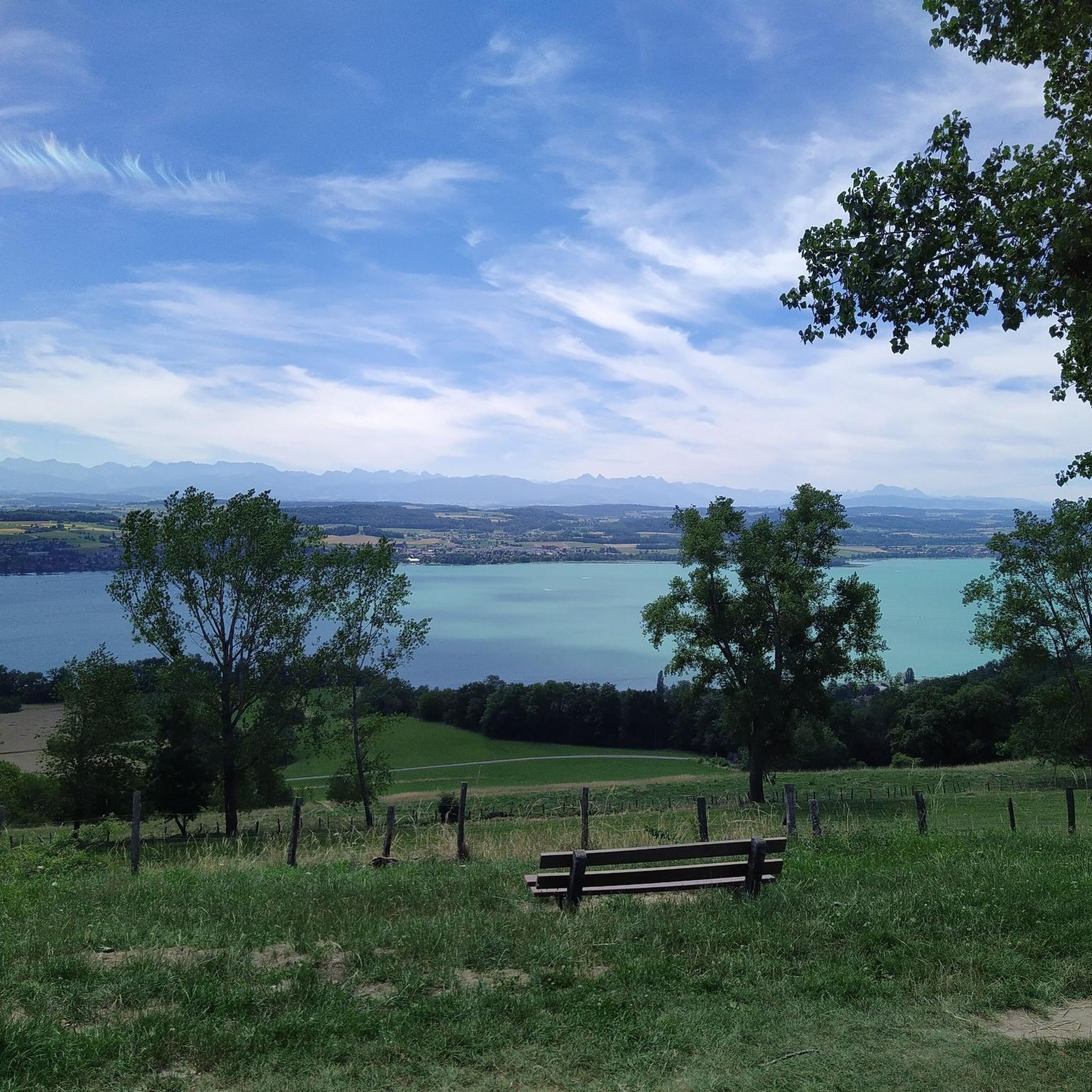
Tips from the Community

A really beautiful route for the 🚴♂️
1
0
Great road with little traffic, very easy to drive on.
0
0
Super beautiful valley, wonderful to drive through.
0
0
Great tip, there is really no car traffic most of the time
0
0
Mosel and vineyards just fit
1
0

Nice back road. Rolls well. Very shady.
3
0
Frequently Asked Questions
What kind of terrain can I expect when road cycling around Gierschnach?
The region around Gierschnach offers a diverse landscape for road cycling. You'll find rolling hills, river valleys along the Rhine and Moselle, and low mountain ranges characteristic of the Eifel and Westerwald. This variety allows for routes ranging from gentle rides along riverbanks to more challenging climbs through the volcanic Eifel and forested Westerwald.
How many road cycling routes are available in the Gierschnach area?
There are over 100 road cycling routes around Gierschnach, offering a wide range of options for different skill levels and preferences. The komoot community has explored more than 118 routes in this area.
Are there road cycling routes suitable for beginners or those looking for an easier ride?
Yes, Gierschnach offers several easier road cycling routes. There are 15 routes classified as easy, often featuring less elevation gain and more gentle terrain, particularly along the river valleys. For example, you can find pleasant rides that explore the scenic Rhineland countryside.
What are some challenging road cycling routes for experienced cyclists in Gierschnach?
For experienced cyclists seeking a challenge, Gierschnach provides 32 difficult routes with significant elevation gains. An example is the Münstermaifeld – Boppard Mill Valley loop from Münstermaifeld, which covers 54.9 km with nearly 1000 meters of ascent, offering a demanding ride through varied terrain.
What historical landmarks or viewpoints can I see along the road cycling routes?
Road cycling routes around Gierschnach often pass by impressive historical landmarks and offer stunning viewpoints. You can enjoy views of castles like Thurant Castle, or cycle near the romantic Middle Rhine Valley, a UNESCO World Heritage site. The region also features the confluence of the Moselle and Rhine rivers at Deutsches Eck in Koblenz, a significant natural and historical landmark.
Are there any natural features like gorges or waterfalls accessible from the road cycling routes?
While primarily focused on road cycling, some routes may offer glimpses or detours to natural features. The broader region includes areas like the Eltzbach Valley and the Brodenbach Gorge with Waterfalls and Wooden Bridges. These are typically more suited for hiking or mountain biking, but their proximity means you might find scenic views from nearby roads.
Are there circular road cycling routes available in Gierschnach?
Yes, many road cycling routes in Gierschnach are designed as loops, allowing you to start and end at the same point. For instance, the View of Thurant Castle and Alken – View of Thurant Castle loop from Münstermaifeld is a popular 52.5 km circular route offering scenic views.
What do other road cyclists say about the routes in Gierschnach?
The road cycling routes in Gierschnach are highly regarded by the komoot community, with an average rating of 4.6 out of 5 stars from over 400 reviews. More than 7,000 road cyclists have used komoot to explore the varied terrain, often praising the scenic views, diverse landscapes, and well-maintained paths.
What is the best time of year for road cycling in the Gierschnach region?
The best time for road cycling in the Gierschnach region is generally from spring to autumn. During these seasons, the weather is typically mild, and the landscapes are vibrant, offering pleasant conditions for exploring the rolling hills, river valleys, and low mountain ranges.
Are there any family-friendly road cycling options around Gierschnach?
While many road cycling routes involve some elevation, families can find suitable options, especially those along the flatter river sections of the Rhine and Moselle. Look for routes with lower difficulty ratings and less traffic, which often provide a more relaxed experience for all ages.
Where can I find parking for road cycling in Gierschnach?
Parking for road cyclists in Gierschnach and surrounding towns is generally available in public parking areas. Many routes start from villages like Münstermaifeld or Mertloch, where you can typically find designated parking spots. It's advisable to check local parking regulations upon arrival.
Are there cafes or places to stop for refreshments along the road cycling routes?
Yes, the Gierschnach region, with its charming villages and towns along the Rhine and Moselle, offers numerous opportunities for refreshment stops. You'll find cafes, restaurants, and traditional German pubs (Gasthäuser) in places like Alken, Münstermaifeld, and other settlements along the routes, perfect for a break.
Most popular routes around Gierschnach
Most popular attractions around Gierschnach

Get inspired with the komoot mobile app


Explore more
Browse the best Road cycling routes in other regions.
