The best walks and hikes around Gierschnach
4.6
(22881)
90,551
hikers
793
hikes
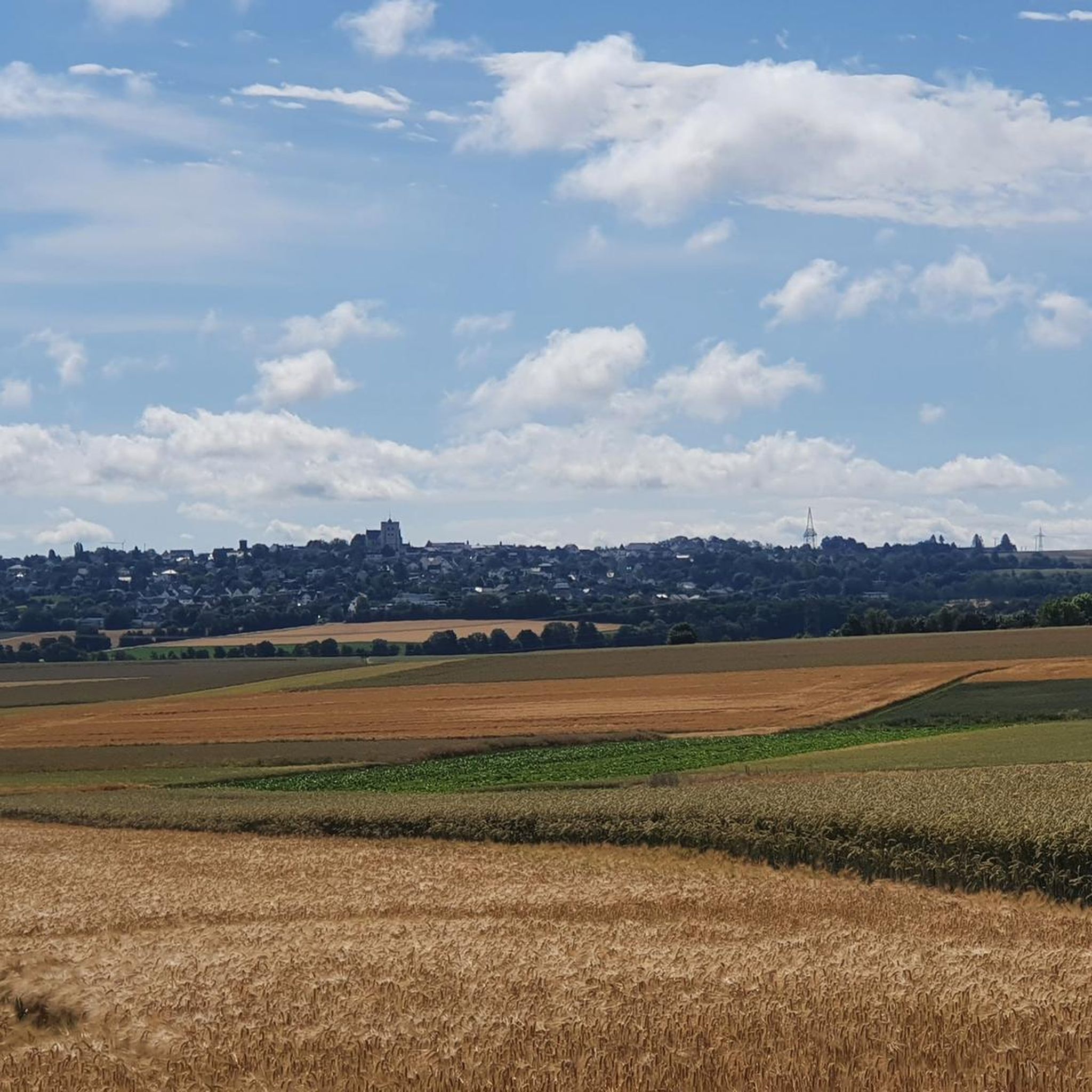
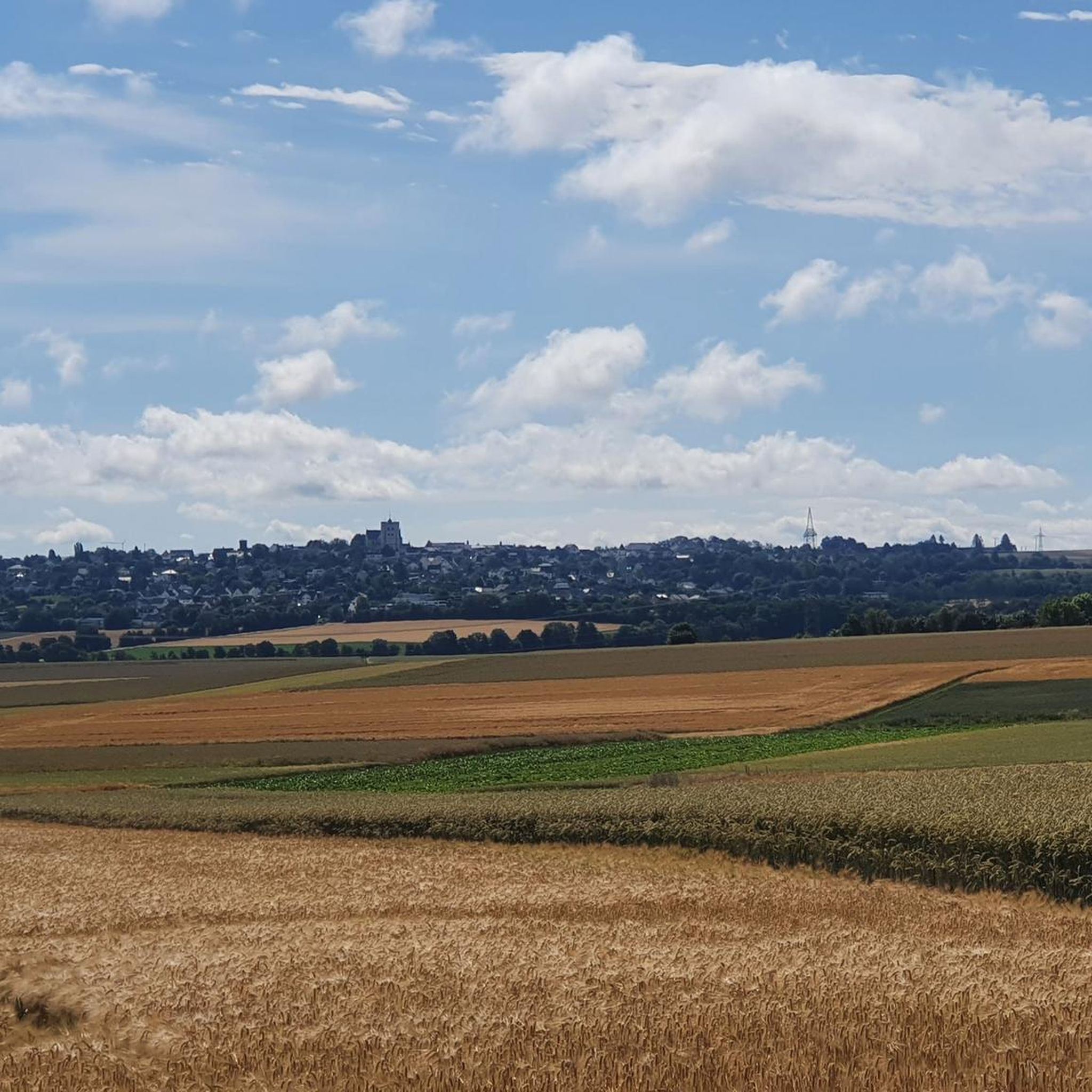
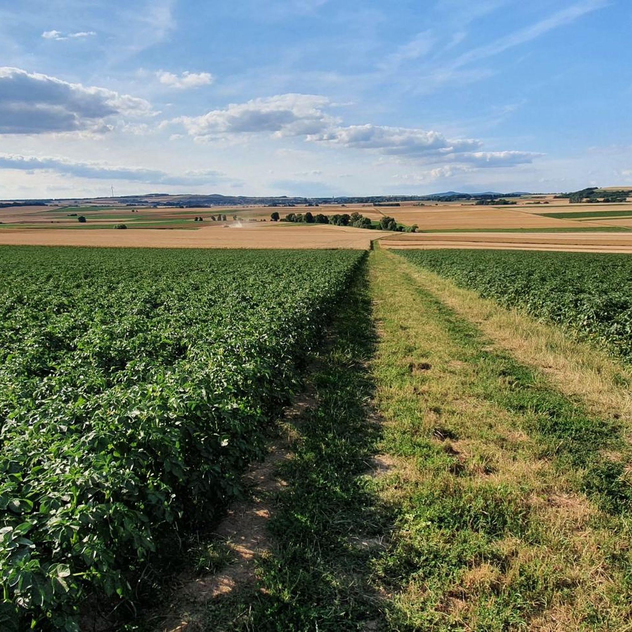
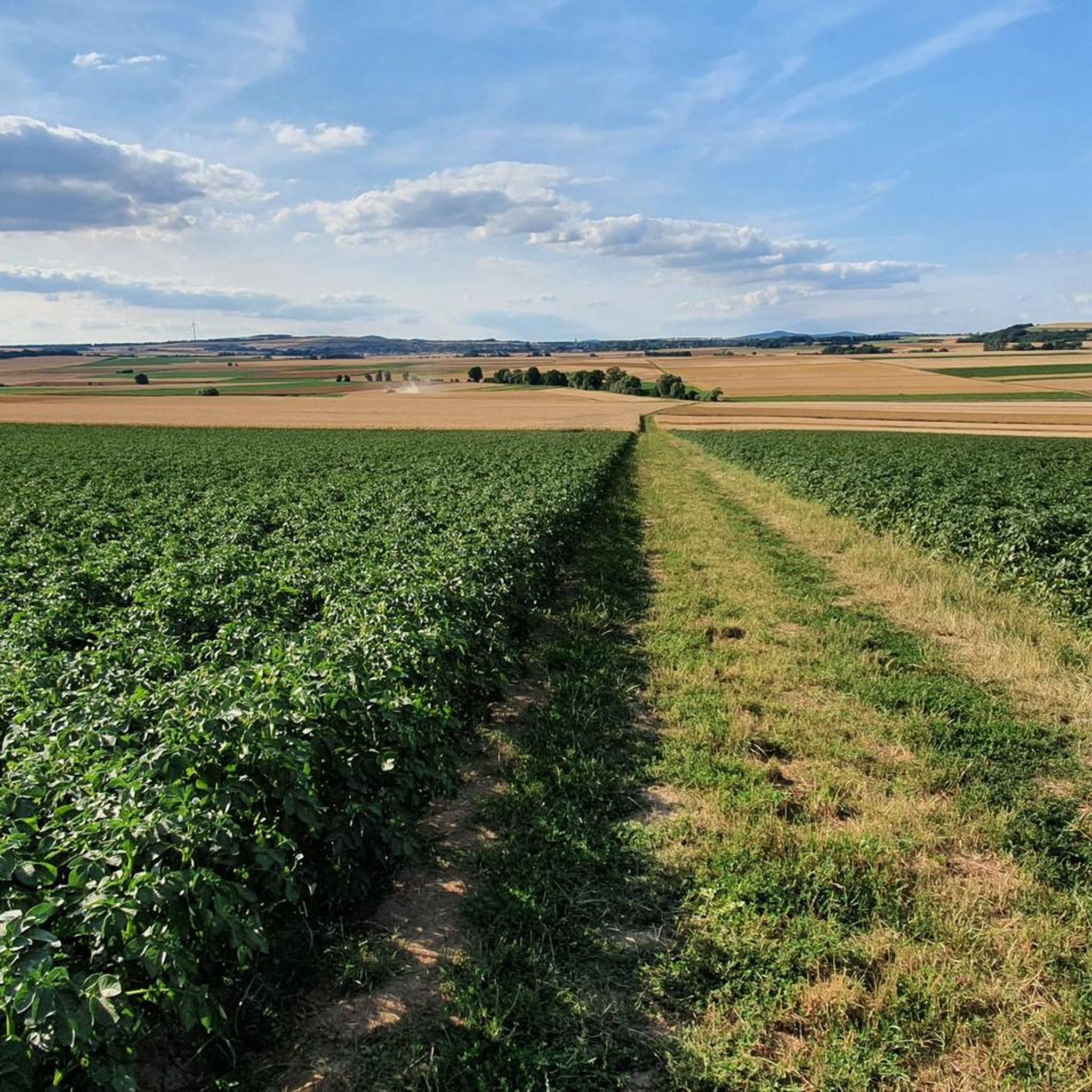
Hiking around Gierschnach offers a network of trails through varied landscapes. The region features gentle elevations, with paths often following waterways like the Polcher Bach and incorporating parts of the Maifeld Cycle Path. Hikers can explore a mix of open fields, small woodlands, and routes leading to local points of interest. The terrain is generally accessible, providing options for different activity levels.
Best hiking trails around Gierschnach
- The most popular hiking route is Maifeld Cycle Path – Mertloch Water Playground…
Last updated: July 4, 2026
5.0
(12)
34
hikers
8.78km
02:18
70m
70m
Moderate hike. Good fitness required. Easily-accessible paths. Suitable for all skill levels.
5.0
(1)
20
hikers
4.48km
01:11
40m
40m
Easy hike. Great for any fitness level. Easily-accessible paths. Suitable for all skill levels.

Sign up for free
4.5
(2)
10
hikers
Easy hike. Great for any fitness level. Easily-accessible paths. Suitable for all skill levels.
5.0
(2)
11
hikers
7.79km
02:11
160m
160m
Moderate hike. Good fitness required. Easily-accessible paths. Suitable for all skill levels.
5.0
(1)
11
hikers
4.64km
01:15
60m
60m
Easy hike. Great for any fitness level. Easily-accessible paths. Suitable for all skill levels.
Get access to more routes and recommendations from other explorers.
Sign up for free
Already have an account?
Our route recommendations are based on thousands of hikes, rides, and runs completed by other people on komoot.
Start today with a free account
Your next adventure awaits.
Login or Signup
Tips from the Community


Nice barbecue area with picnic benches and toilet facilities.
10
0

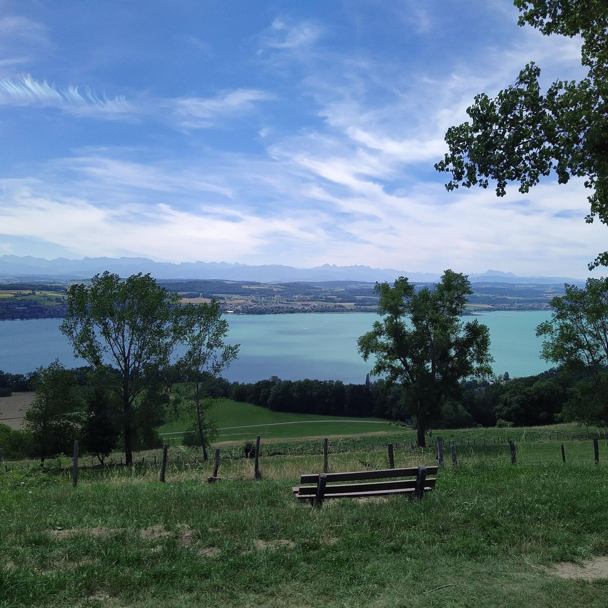
This bench is located slightly above the Polcher Bach, overlooking the open countryside.
0
0

Great cycle path for relaxed cycling and exploring!
0
0

Those exploring the dream trail "Pyrmonter Felsensteig" will reach the highest point of the route on the Sammetzkopf. There, an illuminated summit cross stands prominently, even in the dark. From the Sammetzkopf, an impressive view opens up: It stretches as far as Münstermaifeld with its magnificent collegiate church and further to the volcanoes of the Eastern Eifel. The wide panoramic view over the plateau forms a fascinating yet harmonious contrast to the narrow paths in the Elz Valley.
40
0

The Way of the Cross begins right at the outskirts of Mertloch and leads up the hilltop to the Holy Cross Chapel.
0
0

At the crossroads in the direction of Roes is the deceased cross of Johannes Duvenich, who died in 1768.
2
0
Frequently Asked Questions
How many hiking trails are available in Gierschnach?
Gierschnach offers a wide selection of hiking opportunities, with over 790 trails recorded on komoot. This includes a diverse range of routes suitable for various fitness levels.
Are there easy or family-friendly hiking trails in Gierschnach?
Yes, Gierschnach is well-suited for easy and family-friendly hikes, with over 415 easy routes available. A great option is the Maifeld Cycle Path – Mertloch Water Playground loop from Mertloch, a gentle 2.8-mile (4.5 km) path that is particularly suitable for families.
What kind of terrain can I expect on hikes around Gierschnach?
The terrain around Gierschnach features gentle elevations, often following waterways like the Polcher Bach. You'll find a mix of open fields, small woodlands, and paths that incorporate parts of the Maifeld Cycle Path. The routes are generally accessible, offering a pleasant hiking experience.
Are there any circular walks in Gierschnach?
Many of the trails in Gierschnach are designed as circular routes. For example, the Bench at Polcher Bach – Old Basalt Cross loop from Gappenach is an easy 3.8-mile (6.1 km) circular path that follows the Polcher Bach.
What do other hikers enjoy most about Gierschnach?
The komoot community highly rates the hiking in Gierschnach, with an average score of 4.6 stars from over 20,000 reviews. Hikers often praise the varied terrain, the peaceful riverside paths, and the well-maintained cycle routes that are also suitable for walking.
Are there any longer hiking options for more experienced hikers?
While many routes are easy, there are also moderate options for those seeking a longer challenge. The Cross of the Deceased – Sammetzkopf Summit Cross loop from Mertloch is a moderate 4.8-mile (7.8 km) trail that leads through rolling terrain to a summit cross.
What are some interesting landmarks or viewpoints to see while hiking?
While hiking around Gierschnach, you can discover several interesting points. Consider visiting the Rabenlay Viewpoint and Shelter or the Hitzlay Viewpoint (Moselle Valley) for scenic vistas. Some routes also pass by historical markers like the Old Basalt Cross.
Is Gierschnach suitable for dog-friendly walks?
The natural landscape of Gierschnach, with its open fields and woodlands, generally offers good opportunities for walks with dogs. Many paths, especially those along the Polcher Bach, are suitable for pets, but always ensure dogs are kept on a leash where required and respect local wildlife.
Are there any routes that pass by churches or chapels?
Yes, some routes incorporate local points of interest. For example, the St. Gangolf Church – Chapel at Künzer Hof loop from Mertloch is a 4.6-mile (7.4 km) hike that takes you past these historical sites.
Where can I find places to rest or have a picnic during my hike?
Many trails in the Gierschnach region feature benches and designated picnic spots, especially along popular paths and near viewpoints. The area also has several huts and shelters, such as the Winemaker’s hut with a view of the Moselle Valley near Hatzenport, which can offer a place to rest.
What is the best time of year to hike in Gierschnach?
Gierschnach is enjoyable for hiking throughout much of the year. Spring brings blooming landscapes, summer offers pleasant conditions for riverside walks, and autumn provides beautiful foliage. Even in winter, the gentle terrain can be suitable for walks, though conditions may vary.
Most popular routes around Gierschnach
Most popular attractions around Gierschnach

Get inspired with the komoot mobile app


Explore more
Browse the best Hikes in other regions.
