The best road cycling routes around Carrigaline
4.4
(149)
5,637
riders
62
rides
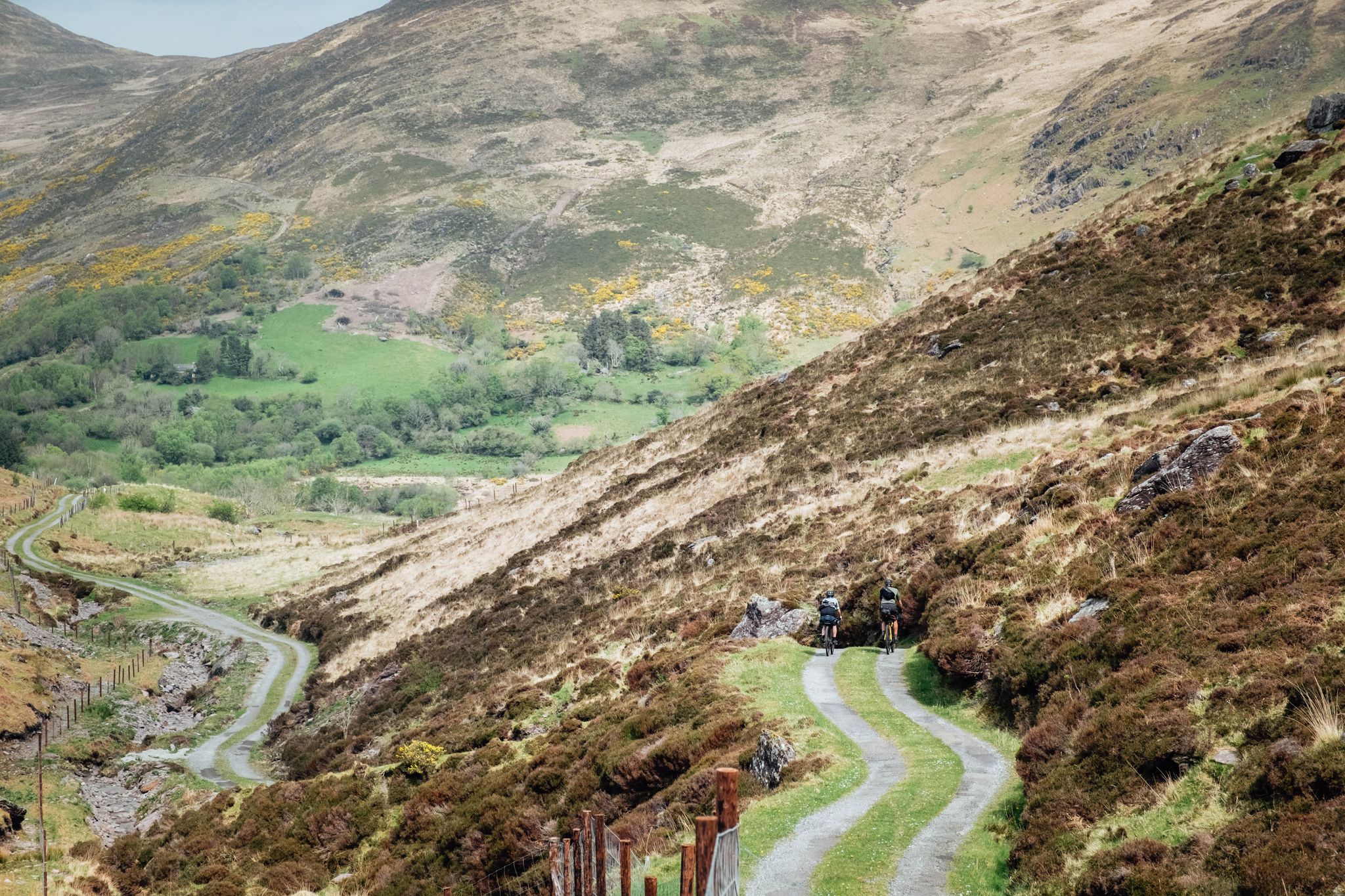
Road cycling around Carrigaline offers a varied landscape, situated in the Owenabue Valley with proximity to the coast. The region features gently sloping hills, lush countryside, and coastal paths, providing diverse terrain for cyclists. Routes often follow the Owenabue River and offer views of Cork Harbour and the Atlantic coastline. The area's geography supports both leisurely rides and more challenging excursions.
Best road cycling routes around Carrigaline
- The most popular road cycling route is Great Island loop, an 18.2 miles (29.3 km) trail that takes 1 hour 30 minutes to complete. This easy route offers views of the surrounding water and landscape.
- Another top favourite among local road cyclists is Carrigaline to Crosshaven loop, an easy 15.3 miles (24.7 km) path. This route follows the Owenabue River, providing scenic views along the former railway line.
- Local road cyclists also love the Garylucas Beach – Kinsale loop from Carrigaline, a 48.8 miles (78.5 km) trail leading through coastal areas and towards Kinsale, often completed in about 3 hours 30 minutes.
- Road cycling around Carrigaline is defined by coastal paths, the Owenabue Valley, and views of Cork Harbour. The network offers options for different ability levels, from easy greenways to moderate and difficult routes.
- The routes in Carrigaline are highly rated by the komoot community with an average score of 4.3 stars from over 16 reviews. More than 1000 road cyclists have used komoot to explore Carrigaline's varied terrain.
Last updated: July 4, 2026
5.0
(2)
60
riders
29.3km
01:31
250m
250m
Easy road ride. Great for any fitness level. Mostly well-paved surfaces and easy to ride.
5.0
(1)
42
riders
84.6km
03:53
970m
970m
Hard road ride. Very good fitness required. Mostly well-paved surfaces and easy to ride.

Sign up for free
5.0
(2)
21
riders
24.7km
01:15
300m
300m
Easy road ride. Great for any fitness level. Mostly well-paved surfaces and easy to ride.
4.5
(2)
142
riders
Moderate road ride. Good fitness required. Mostly well-paved surfaces and easy to ride.
3.5
(2)
75
riders
78.6km
03:30
810m
810m
Moderate road ride. Good fitness required. Mostly well-paved surfaces and easy to ride.
55
riders
56.4km
02:27
480m
480m
Moderate road ride. Good fitness required. Mostly well-paved surfaces and easy to ride.
5.0
(1)
42
riders
48.9km
02:12
510m
510m
Moderate road ride. Good fitness required. Mostly well-paved surfaces and easy to ride.
47
riders
21.0km
00:56
140m
140m
Easy road ride. Great for any fitness level. Mostly well-paved surfaces and easy to ride.
42
riders
20.0km
00:51
140m
140m
Easy road ride. Great for any fitness level. Mostly well-paved surfaces and easy to ride.
5.0
(1)
34
riders
Easy road ride. Great for any fitness level. Mostly well-paved surfaces and easy to ride.
Get access to more routes and recommendations from other explorers.
Sign up for free
Already have an account?
Our route recommendations are based on thousands of hikes, rides, and runs completed by other people on komoot.
Start today with a free account
Your next adventure awaits.
Login or Signup
Other adventures around Carrigaline

Tips from the Community

park to the west of Garretstown beach and run the two beaches and carry on up the hill to the signal tower on the cliffs of the Old Head. you can continue to do the loop and you will see the inlet to Kinsale and the soveriegn Islands to the east and Ballycotton light house further east as you run down hill. or return the same route from the signal tower nice view over Garrylucas and back to garrets town beach.
0
0

A wide, light sandy beach on the north side of the Old Head, with low dunes, an open horizon and a constant Atlantic wind. The Blue Flag status and the guarded zone in summer make it a safe and accessible stop, while the flat entry and spacious beach are ideal for a short break or a refreshing walk.
6
0
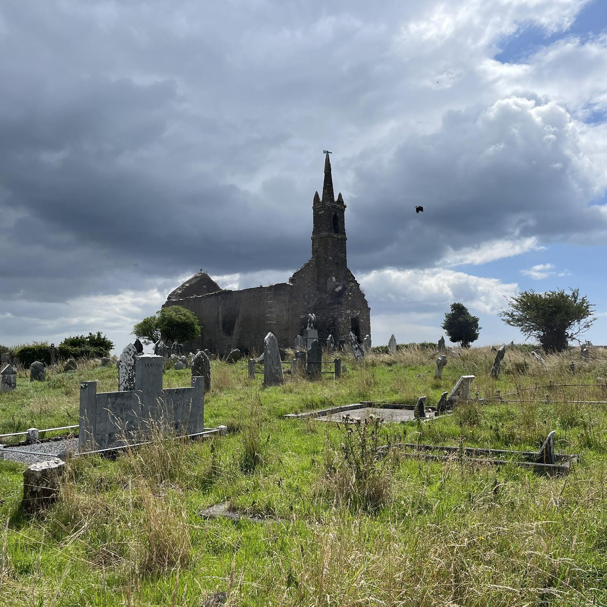
This long headland was for centuries home to countless castles belonging to the mighty Courcy family. On its point stands a lighthouse rising 70 meters above the waves. Not far from this rugged peninsula, the Lusitania was torpedoed and sunk by the Germans on May 7, 1915. This event, which claimed 1500 lives, was the trigger for American participation in World War I. The Lusitania Museum is housed in a watchtower built during the Napoleonic Wars. (first peninsula on the Wild Atlantic Way)
6
0
Old Head Signal Tower, Lusitania Museum & Memorial Garden together form the historic heart of the Old Head: a fully restored Napoleonic signal tower on the highest point of the headland, with a small but poignant museum inside about the RMS Lusitania, the passenger ship torpedoed off this coast in 1915; outside lies the quiet Memorial Garden with the long bronze wave sculpture listing all the victims and an original davit pointing to the wreck site—a place where coastal defence, maritime history and a wide Atlantic panorama come together in one powerful moment.
6
0
The colorful houses and shops around this point form one of Kinsale's most recognizable street scenes: compact facades in bright pink, blue, yellow, and purple hues, often with contrasting window frames and hand-painted details that give the whole a playful, Mediterranean feel. This concentration of color makes the center particularly photogenic and acts as a visual anchor point on the route.
9
0
Kinsale is a historic harbour town at the mouth of the River Bandon, known for its colourful streets, maritime heritage, and exceptional culinary reputation. It lies about 25 km south of Cork and forms the official starting point of the Wild Atlantic Way. The town combines a compact medieval street plan with an open, wide harbour basin that has been strategically important for centuries. Call it the little Honfleur of Southern Ireland.
8
0
Kinsale harbour is the beating heart of the town: a wide, sheltered inlet at the mouth of the River Bandon, surrounded by colourful facades, historic forts and a lively mix of fishing boats, yachts and tour boats. The harbour basin forms both the geographical centre of Kinsale and the starting point for trips towards the coast and the Old Head.
6
0
The Wild Atlantic Way is a 2,600 km long, signposted coastal route along the entire west coast of Ireland, officially starting in Kinsale (County Cork) and ending in Malin Head (Donegal). It is the world's longest marked coastal route, made up of iconic viewpoints, peninsulas, cliffs, and historic coastal villages.
3
0
Frequently Asked Questions
How many road cycling routes are available around Carrigaline?
Carrigaline offers a wide selection of road cycling routes, with over 60 different tours to explore. These routes cater to various skill levels, from easy rides to more challenging excursions.
What do other road cyclists enjoy about the routes in Carrigaline?
The road cycling routes in Carrigaline are highly rated by the komoot community, with an average score of 4.3 stars from over 16 reviews. Cyclists often praise the diverse terrain, from the scenic Owenabue Valley to coastal paths, and the beautiful views of Cork Harbour and the Atlantic coastline.
Are there road cycling routes suitable for beginners in Carrigaline?
Yes, Carrigaline has several easy road cycling routes perfect for beginners. For example, the Great Island loop is an easy 29.3 km trail offering pleasant views. Another accessible option is the Carrigaline to Crosshaven loop, which follows the Owenabue River on a former railway line.
Where can I find more challenging road cycling routes near Carrigaline?
For experienced cyclists seeking a challenge, routes like the Kinsale, Old Head and Killbrittain from Cork offer a difficult 84.6 km ride with significant elevation changes. This route provides an extensive exploration of the region's more demanding terrain.
Are there any circular road cycling routes in the Carrigaline area?
Many of the road cycling routes around Carrigaline are circular, allowing you to start and finish in the same location. Popular loops include the Great Island loop and the Carrigaline to Crosshaven loop. The Cork Harbour Cycle Path loop from Carrigaline is another excellent circular option.
What kind of scenery can I expect on road cycling routes around Carrigaline?
Road cycling in Carrigaline offers a diverse range of scenery. You'll encounter the picturesque Owenabue Valley with its lush countryside and gently sloping hills, as well as stunning coastal paths and views of Cork Harbour and the Atlantic. Routes often follow rivers and old railway lines, providing varied landscapes.
Are there road cycling routes that offer coastal views?
Absolutely. Carrigaline's proximity to the coast means many routes feature spectacular sea views. The Garylucas Beach – Kinsale loop from Carrigaline takes you through coastal areas towards Kinsale. You can also find stunning vistas along coastal paths and rocky headlands, particularly around Robert's Cove and Fountainstown Beach.
Can I find family-friendly road cycling routes in Carrigaline?
Yes, the region is well-suited for family cycling, especially on its Greenways. The Carrigaline to Crosshaven Greenway, which follows the old Cork to Crosshaven railway line, is a fantastic option. It offers scenic views alongside the Owenabue River and is generally flat and well-paved, making it ideal for all ages.
What landmarks or historical sites can I see along road cycling routes in Carrigaline?
The area is rich in history. You can cycle past or near sites like the ruins of Carrigaline Castle. Further afield, Camden Fort Meagher, a significant 16th-century coastal defense, is accessible. The historic town of Kinsale, with its well-preserved Charles Fort, is also a popular destination for cyclists.
Are there any natural features or viewpoints to look out for while cycling?
Beyond the general beauty of the Owenabue Valley and the coastline, cyclists can enjoy views from places like Weaver's Point. Currabinny Forest, located on a peninsula, offers wide trails and views across the water to Crosshaven, Spike Island, and Cobh. Coastal paths around Robert's Cove and Fountainstown Beach also provide stunning sea vistas.
Is there parking available for cyclists near the routes in Carrigaline?
Yes, Carrigaline itself offers various parking options within the town, providing convenient access to many starting points for road cycling routes. Additionally, trailheads for popular routes like the Carrigaline to Crosshaven Greenway often have dedicated parking facilities.
Are there cafes or pubs along the road cycling routes in Carrigaline?
Many routes in the Carrigaline area pass through or near charming towns and villages like Crosshaven and Kinsale, which are well-equipped with cafes, pubs, and restaurants. These make for excellent stops to refuel and relax during your ride. The Jo's Cafe – Kinsale loop from Carrigaline specifically highlights a popular cafe stop.
What is the best time of year for road cycling in Carrigaline?
The spring and summer months (April to September) generally offer the most favorable weather for road cycling in Carrigaline, with milder temperatures and longer daylight hours. However, the region's mild climate means cycling is possible year-round, though autumn and winter may bring more rain and cooler conditions.
Most popular routes around Carrigaline
Most popular attractions around Carrigaline

Get inspired with the komoot mobile app


Explore more
Browse the best Road cycling routes in other regions.
