The best MTB trails around Carrigaline
9
riders
4
rides
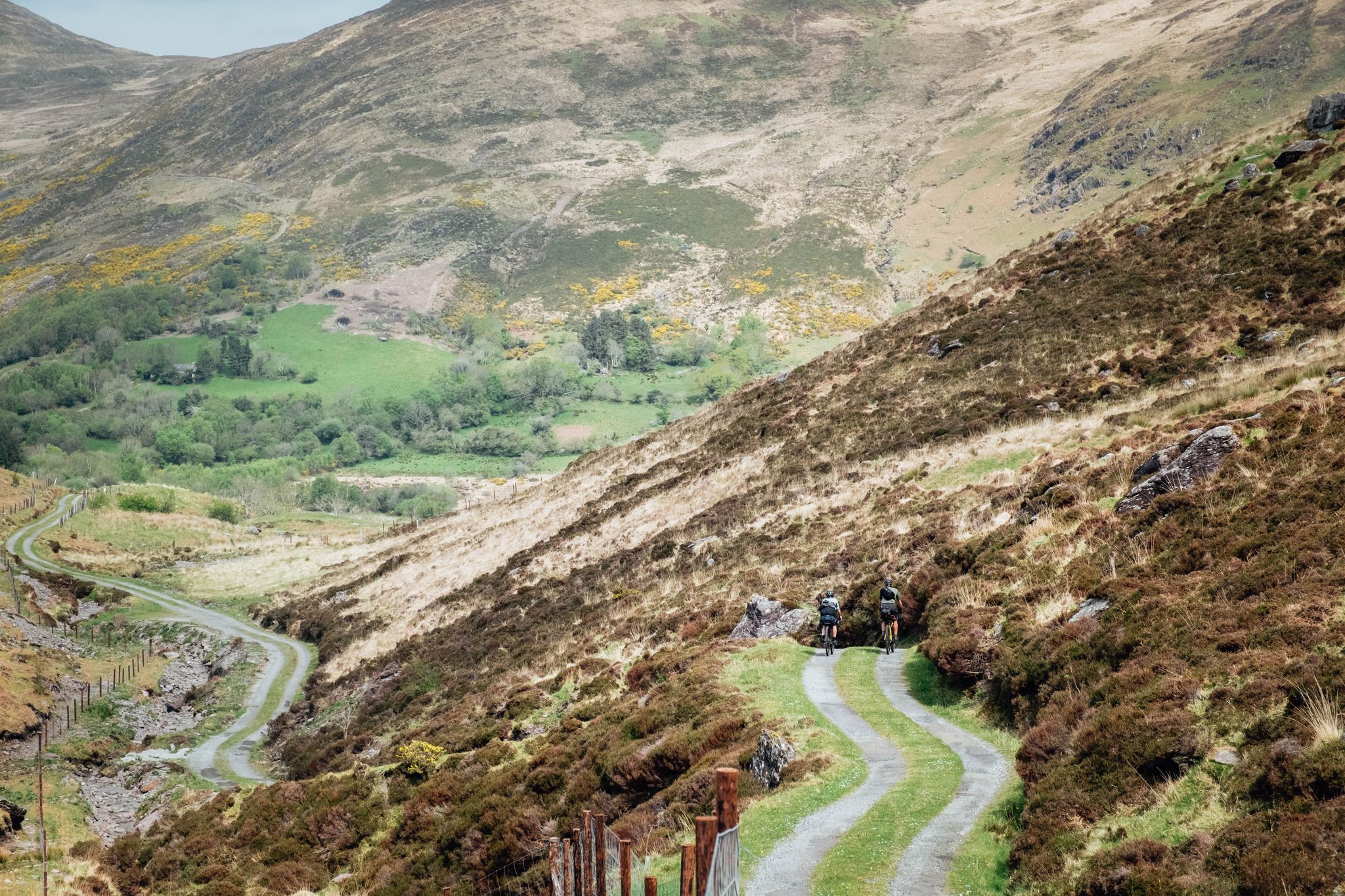
Mountain biking around Carrigaline offers varied terrain in County Cork, Ireland. The region features gently rolling hills, the scenic Owenabue River and Estuary, and coastal paths. These natural features provide a mix of environments for mountain bikers, from riverside trails to routes with views of Cork Harbour. The landscape includes forest trails and dedicated greenways, suitable for different cycling preferences.
Best mountain bike trails around Carrigaline
- The most popular mountain bike trail is Garryduff Woods Forest loop from Harty's Quay…
Last updated: October 7, 2026
4
riders
6.68km
00:36
130m
130m
Easy mountain bike ride. Great for any fitness level. Suitable for all skill levels.
10.5km
00:46
80m
80m
Easy mountain bike ride. Great for any fitness level. Suitable for all skill levels.

9.19km
00:42
140m
140m
Easy mountain bike ride. Great for any fitness level. Suitable for all skill levels.
3
riders
61.0km
03:38
640m
640m
Moderate mountain bike ride. Good fitness required. Suitable for all skill levels.
2
riders
64.0km
04:00
790m
790m
Moderate mountain bike ride. Good fitness required. Suitable for all skill levels.
38.1km
02:13
340m
340m
Moderate mountain bike ride. Good fitness required. Suitable for all skill levels.
Our route recommendations are based on thousands of hikes, rides, and runs completed by other people on komoot.
Start today with a free account
Your next adventure awaits.

Other adventures around Carrigaline

Tips from the Community

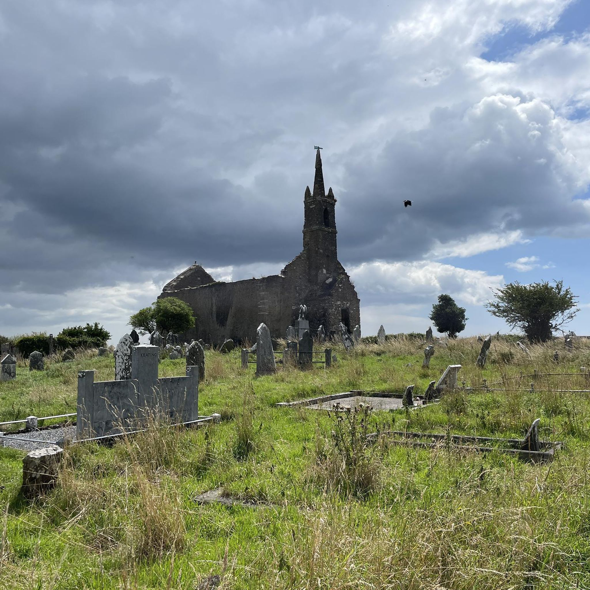
Monumental ruin of a 14th-century Franciscan friary on an older site of St. Molaga, at the mouth of the Argideen River. The Gothic windows, cloister garth and tower form an impressive silhouette against Courtmacsherry Bay. Freely accessible as a quiet, historical viewing stop in the village of Timoleague.
8
0
The Ringrone castle ruins are the remnant of a medieval tower house strategically situated above the mouth of the Bandon. Of the original complex, only one high wall section remains today, a four-storey fragment rising from the grassland like a narrow, weathered shaft.
5
0
The Harbour of Kinsale forms the historical and visual heart of the town: a sheltered, natural inlet where fishing boats, merchant ships, and naval vessels have docked for centuries. Its location deep within the Bandon estuary made Kinsale a strategic port, both economically and militarily, and that layered history is still palpable today in the rhythm of the quay, the mix of old warehouses and modern yachts, and the constant presence of tide and light.
6
0
The Galeimastmonument in Kinsale is a slender, ship mast-like monument on the waterfront that makes the city's maritime history visible in the streetscape. Its shape refers to the masts of the many ships that moored here for centuries, from fishing boats to merchant ships and military vessels. Through its vertical line and open construction, the monument acts as a silent silhouette against the sky, a reminder of Kinsale's role as a port city and of the people who spent their lives at sea.
8
0
The colorful houses and shops around this point form one of Kinsale's most recognizable street scenes: compact facades in bright pink, blue, yellow, and purple hues, often with contrasting window frames and hand-painted details that give the whole a playful, Mediterranean feel. This concentration of color makes the center particularly photogenic and acts as a visual anchor point on the route.
9
0
Kinsale is a historic harbour town at the mouth of the River Bandon, known for its colourful streets, maritime heritage, and exceptional culinary reputation. It lies about 25 km south of Cork and forms the official starting point of the Wild Atlantic Way. The town combines a compact medieval street plan with an open, wide harbour basin that has been strategically important for centuries. Call it the little Honfleur of Southern Ireland.
8
0
Belgooly is a long, straggling village in the Owenabue Valley, strategically located along the R600 between Cork and Kinsale. It forms a typical South Cork ribbon village: a cluster around the river, the old mill site and the bridge, with scattered farms and small hamlets surrounding it. Its location in the transitional area between the inland and the tidal landscape towards Oysterhaven gives the village a distinct rural atmosphere.
6
0
The Cork City Hall is one of the city's most recognizable civic buildings: a formal, symmetrical complex on the southern bank of the River Lee, built in the 1930s to replace the previous City Hall which was destroyed by the English during the Burning of Cork (1920). It combines a classical, almost monumental structure with a distinct 20th-century sobriety, ensuring it remains both representative and functional.
9
0
Frequently Asked Questions
How many mountain bike trails are there around Carrigaline?
Komoot features 4 mountain bike trails around Carrigaline, offering a mix of easy and moderate routes. These trails explore the region's diverse landscape, from coastal paths to forest loops.
Are there family-friendly mountain bike trails in Carrigaline?
Yes, Carrigaline offers several family-friendly options. The Garryduff Woods Forest loop from Harty's Quay is an easy trail through wooded areas, suitable for a pleasant family ride. The Carrigaline to Crosshaven Greenway, while not listed as a specific komoot MTB route here, is also a flat, scenic option for leisurely cycles with children.
What are some easy mountain bike trails for beginners in Carrigaline?
Beginners can enjoy the Rostellan Loop, an easy 6.5-mile (10.5 km) path offering scenic views along the water's edge. Another great option is the Monastery Gardens and James Fort loop from Kinsale, which is 5.7 miles (9.2 km) and leads through historical sites and coastal scenery.
Are there any challenging mountain bike trails for advanced riders?
While Carrigaline's listed routes are primarily easy to moderate, the region's diverse terrain includes options that require good fitness. For a longer, more demanding ride, consider the moderate Robert's Cove – Tramore Valley Park loop from Rochestown, which covers over 62 km with significant elevation gain.
Are the mountain bike trails in Carrigaline dog-friendly?
Many outdoor trails in the Carrigaline area are dog-friendly, especially those through forests like Garryduff Woods or along coastal paths. However, it's always best to keep dogs on a leash, particularly in nature reserves, near livestock, or in areas with other users, and to check local signage for specific restrictions.
What is the best time of year for mountain biking in Carrigaline?
The best time for mountain biking in Carrigaline is generally during the spring (April-May) and autumn (September-October) months. The weather is milder, and the natural scenery, especially the deciduous woods of Currabinny Forest, is particularly beautiful. Summer can also be pleasant, but trails may be busier.
What are the conditions like for mountain biking in wet weather?
Carrigaline's climate means wet weather is common. Trails through forests, like the Garryduff Woods Forest loop, can become muddy and slippery. Coastal paths may be exposed to wind and rain. It's advisable to check local weather forecasts, wear appropriate gear, and be prepared for varied trail conditions if riding after rainfall.
Where can I find parking for mountain bike trails in Carrigaline?
Parking is generally available at trailheads or nearby villages. For routes like the Garryduff Woods Forest loop, you can often find parking near Harty's Quay. For trails starting from Kinsale, parking is available within the town. The Carrigaline to Crosshaven Greenway also has parking options at various access points.
Are there any interesting landmarks or viewpoints along the mountain bike trails?
Yes, the region is rich in natural beauty and historical interest. Along various routes, you might encounter Camden Fort Meagher, a significant coastal defense fort, or enjoy views from Weaver's Point overlooking the bay entrance. The Monastery Gardens and James Fort loop from Kinsale specifically passes historical sites and offers coastal scenery.
Are there any loop mountain bike trails in the Carrigaline area?
Yes, many of the mountain bike trails around Carrigaline are designed as loops. Examples include the Garryduff Woods Forest loop from Harty's Quay and the Rostellan Loop, both offering convenient circular routes for mountain bikers.
Can I find cafes or pubs near the mountain bike trails in Carrigaline?
Yes, the towns and villages near the trails, such as Carrigaline itself, Crosshaven, and Kinsale, offer a variety of cafes, pubs, and restaurants where you can refuel after your ride. The Crosshaven Railway Path – Cobh–Passage West Ferry loop from Cork Kent, for instance, passes through areas with amenities.
Most popular routes around Carrigaline
Most popular attractions around Carrigaline

Get inspired with the komoot mobile app


Explore more
Browse the best MTB trails in other regions.
