The best running trails around Donegal Municipal District
4.5
(6)
252
runners
31
runs
Jogging routes around Donegal Municipal District traverse a landscape characterized by its extensive coastline, featuring beaches and cliffs, alongside inland forests and hills. The region offers diverse terrain for runners, from sheltered woodland paths to more exposed coastal trails. Joggers can experience routes that range from relatively flat, paved surfaces to more challenging, undulating paths with varying elevations. This area provides a mix of natural environments suitable for different running preferences and fitness levels.
Best jogging routes around Donegal Municipal District
- The most popular jogging route is Donegal – Donegal Castle loop from Donegal, a 4.8 miles (7.8 km) trail that takes 48 minutes to complete. This route offers a mix of paved surfaces around Donegal Town.
- Another top favourite among local runners is Donegal Bay – Bundoran Beach loop from Bundoran, a difficult 11.6 miles (18.7 km) path. This route provides coastal scenery along Bundoran Beach.
- Local runners also love the Running loop from Tantallon ED, a 3.1 miles (4.9 km) trail leading through local residential areas, often completed in about 31 minutes.
- Jogging around Donegal Municipal District is defined by coastal paths, forest trails, and rolling hills. The network offers options for different ability levels, from easy loops to more challenging long-distance runs.
- The routes in Donegal Municipal District are highly rated by the komoot community with an average score of 4.5 stars from over 4 reviews. More than 230 runners have used komoot to explore Donegal Municipal District's varied terrain.
Last updated: July 9, 2026
55
runners
18.7km
01:57
100m
100m
Hard run. Very good fitness required. Mostly paved surfaces. Suitable for all skill levels.
10
runners
7.22km
00:46
110m
110m
Moderate run. Good fitness required. Mostly paved surfaces. Suitable for all skill levels.

Sign up for free
5.0
(1)
10
runners
4.93km
00:31
60m
60m
Easy run. Great for any fitness level. Mostly paved surfaces. Suitable for all skill levels.
5.0
(1)
11
runners
5.03km
00:32
60m
60m
Moderate run. Good fitness required. Mostly paved surfaces. Suitable for all skill levels.
13
runners
7.46km
00:50
190m
190m
Hard run. Good fitness required. Sure-footedness, sturdy shoes and alpine experience required.
4.0
(1)
5
runners
7.07km
00:44
50m
50m
Moderate run. Good fitness required. Mostly paved surfaces. Suitable for all skill levels.
4.0
(1)
5
runners
5.97km
00:37
40m
40m
Moderate run. Good fitness required. Mostly paved surfaces. Suitable for all skill levels.
3
runners
6.79km
00:43
100m
100m
Moderate run. Good fitness required. Mostly paved surfaces. Suitable for all skill levels.
5
runners
7.77km
00:49
50m
50m
Moderate run. Good fitness required. Mostly paved surfaces. Suitable for all skill levels.
7
runners
6.10km
00:39
40m
40m
Moderate run. Good fitness required. Mostly paved surfaces. Suitable for all skill levels.
Get access to more routes and recommendations from other explorers.
Sign up for free
Already have an account?
Our route recommendations are based on thousands of hikes, rides, and runs completed by other people on komoot.
Start today with a free account
Your next adventure awaits.
Login or Signup
Popular around Donegal Municipal District
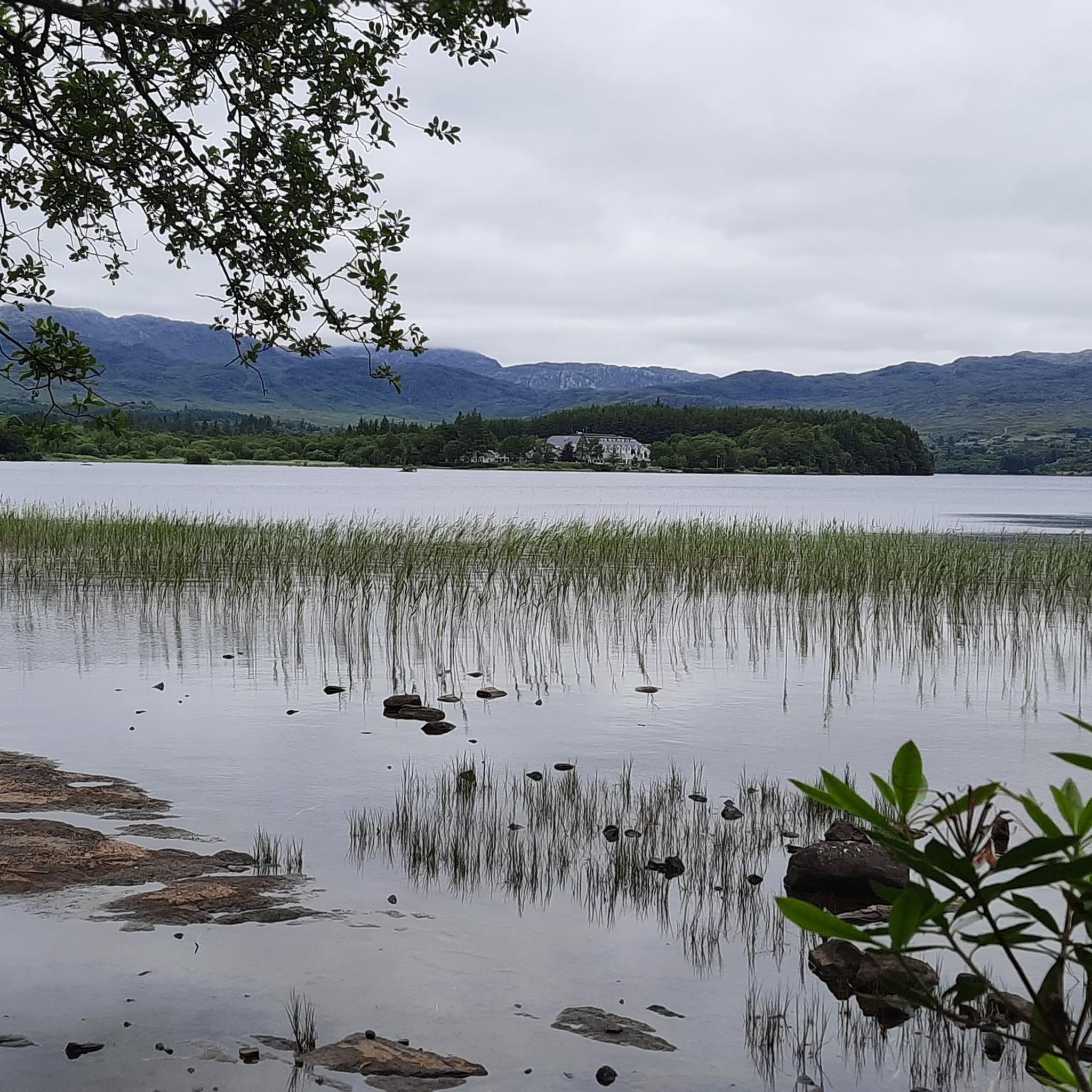
Running Trails around Lough Eske
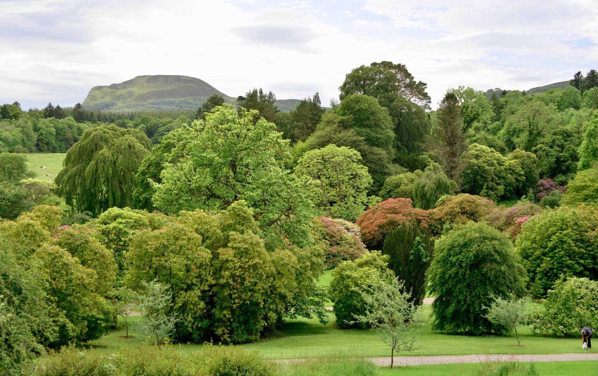
Kingfisher Trail – Explore Ireland's diverse history and nature by bike
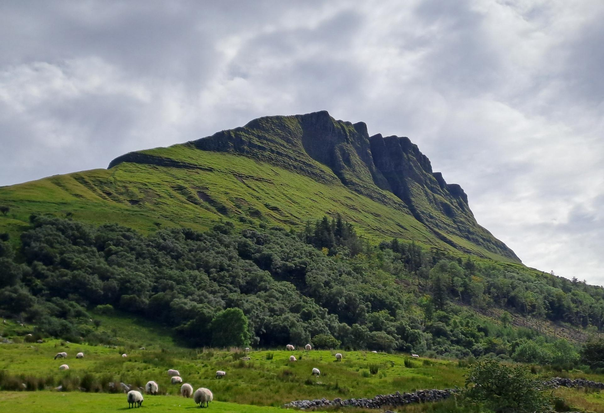
Cycling across the border on the North West Trail
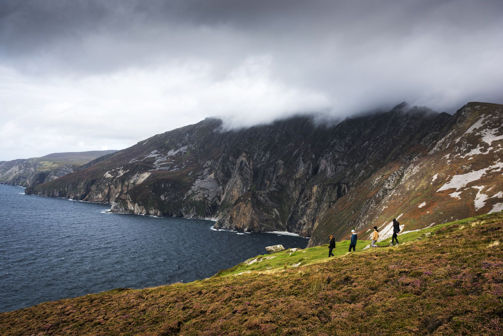
Hike Ireland's coast: cliffs, waves and wonderful wide beaches
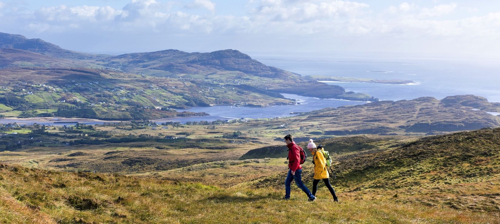
Wild Atlantic Way — day hikes for your road trip along Ireland's coastline
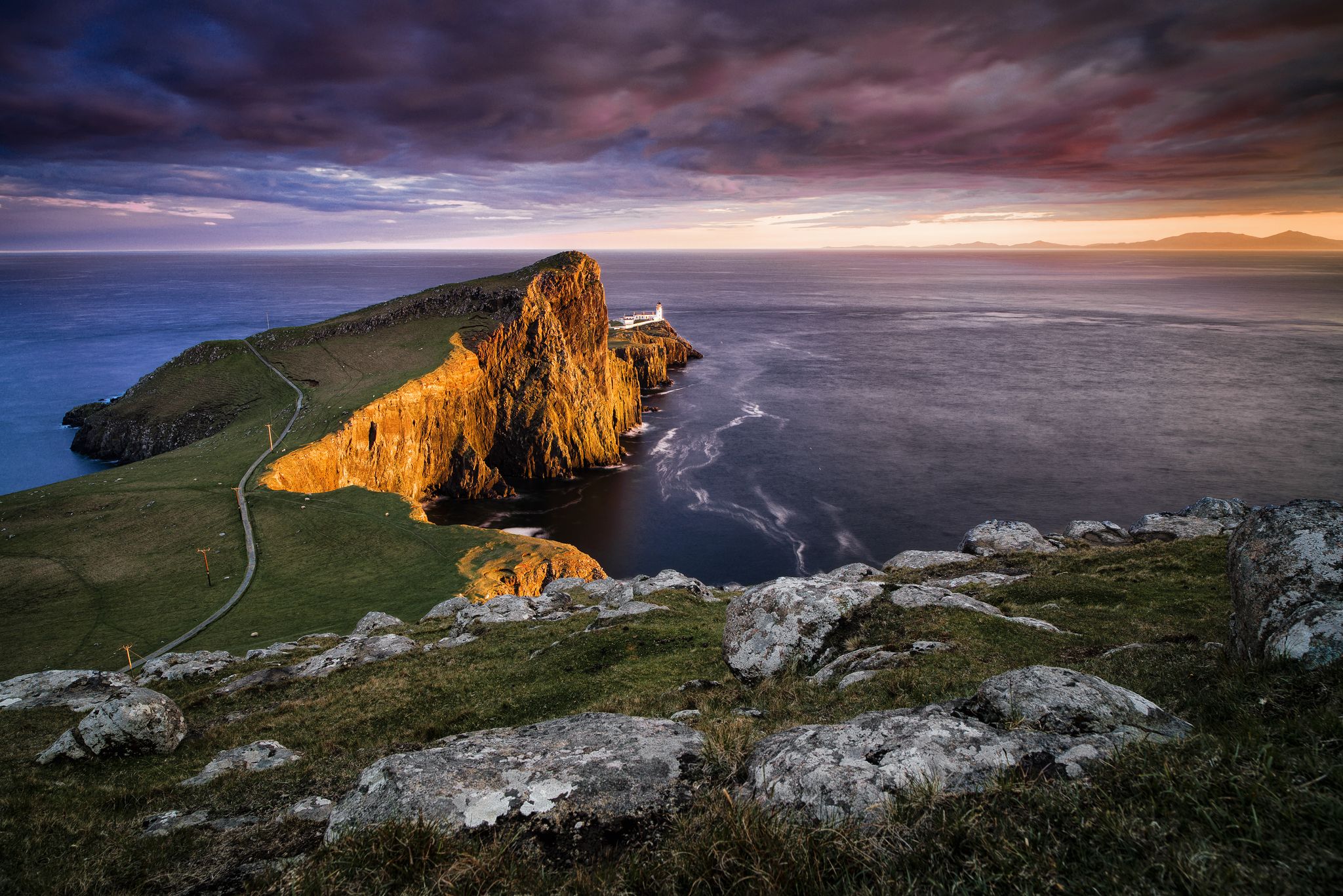
Epic sunset spots in Western Europe
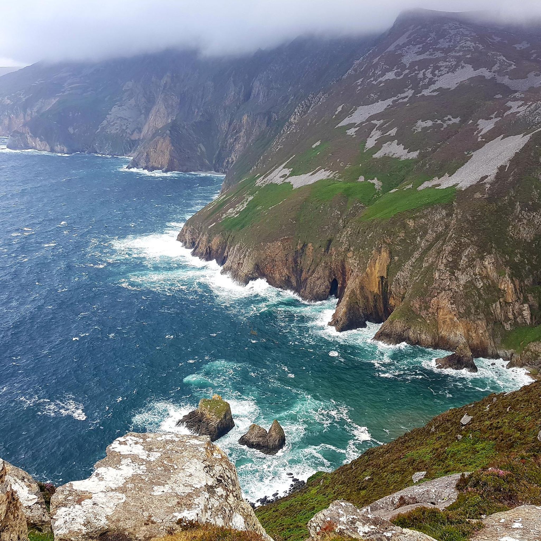
Hiking around Donegal Municipal District
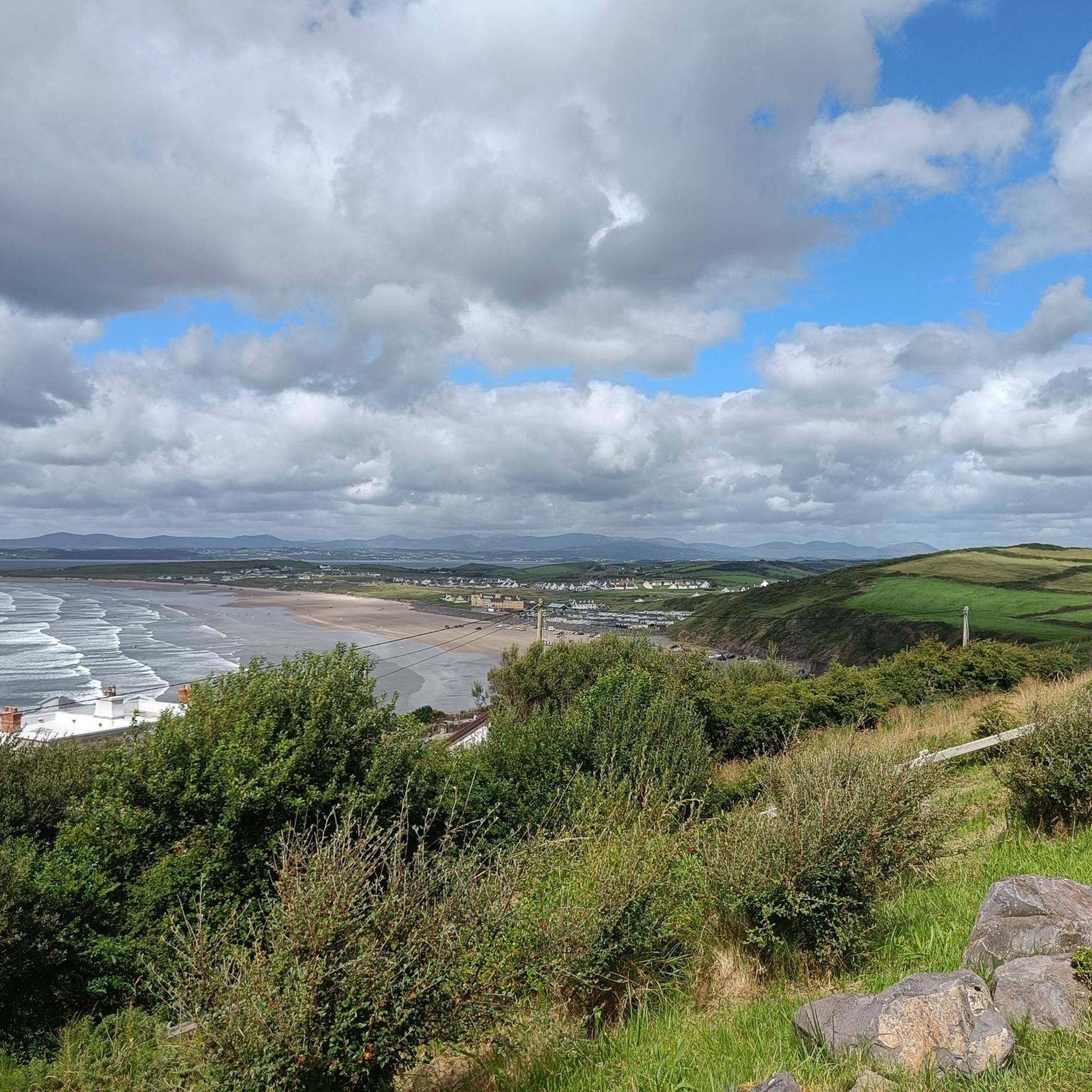
Cycling around Donegal Municipal District
MTB Trails around Donegal Municipal District
Road Cycling Routes around Donegal Municipal District
Other adventures around Donegal Municipal District


Tips from the Community

A glorious selection of perennials, vegetables and shrubs await at Salthill Gardens. This once classic kitchen garden has been transformed by Elizabeth Temple into a delightful space. She's been working on the garden since 1985 and the fruits of her labour are obvious. There's a small charge to enter the gardens.
0
0
Mountcharles Pier is a lovely spot and a Wild Atlantic Way Discovery Point. There are benches for a picnic and splendid views across Donegal Bay. Back inland, there's a cafe for a brew. The pier forms part of the Mountcharles Slí na Sláinte, a delightful 5-kilometre (3 mi) loop from Mountcharles.
0
0

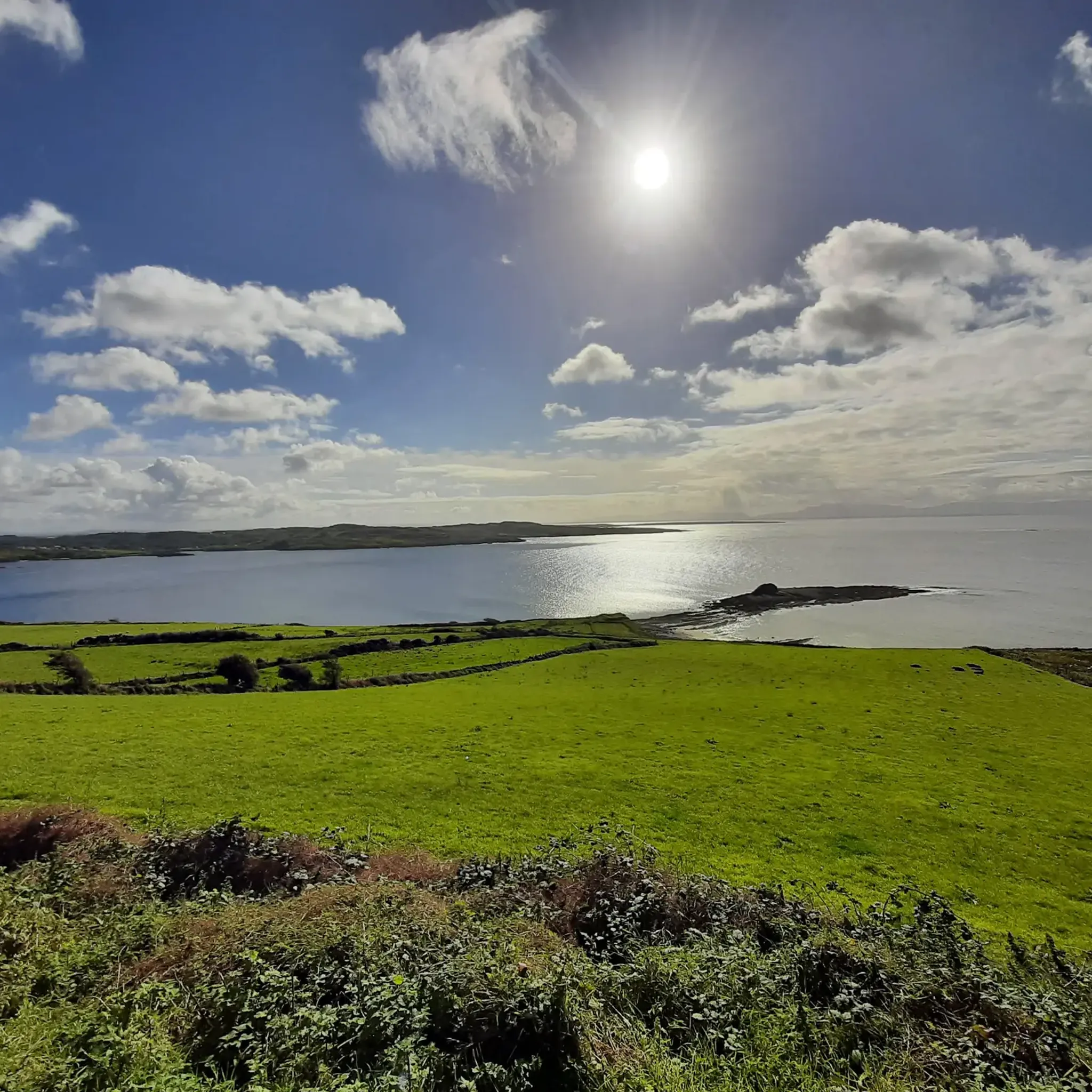
On the edge of the village of Mountcharles, this long, narrow pier juts into the bay. It is a simple but characterful place: fishing boats, tidal channels and a wide view across Donegal Bay towards the Bluestack Mountains. At low tide, the pier sits high above the sand and mudflats, at high tide it seems to almost float on the open water.
5
0
This is a family run coffee shop, where you can enjoy fabulous views and enjoy homemade snacks. Walk around our animal pet area where you can meet pigmy goats, pigs, chickens, ducks, llamas, rabbits and lots more.
6
0
On the banks of the River Eske stands Donegal Castle, the 15th-century stronghold of the mighty O’Donnell clan. The combination of the robust medieval tower and the later 17th-century manor house gives it a layered appearance: Gaelic-Irish at the base, with a subtle English finish on top. From the road and the bridge, you get a beautiful view of the massive walls and its position above the water, making the castle a natural landmark as you enter Donegal Town.
8
1
Beautiful sandy beach on Donegal Bay, overlooking Mullaghmore and the Donegal coastline. A lively, accessible beach along Bundoran's promenade.
2
0
Quiet, open part of Donegal Bay where the Breedoge River flows into the sea. Wide horizon, tidal flats and views of Bundoran make this a subtle but atmospheric landscape moment between Tullaghan and the Donegal coast.
3
0

Frequently Asked Questions
How many running routes are available in Donegal Municipal District?
There are over 35 dedicated running routes in Donegal Municipal District, catering to various fitness levels. These include easy loops, moderate trails, and more challenging long-distance runs, offering a diverse range of experiences from coastal paths to forest trails.
Are there any easy or beginner-friendly running trails in the area?
Yes, Donegal Municipal District offers several easy routes suitable for beginners. An example is the Running loop from Tantallon ED, which is about 3.1 miles (4.9 km) long and typically takes around 30 minutes to complete. Another accessible option is the Running loop from Mountcharles, also around 3.1 miles.
What kind of terrain can I expect on the running routes in Donegal Municipal District?
The region's running routes feature a diverse landscape. You can expect everything from sheltered woodland paths in areas like Ards Forest Park, to dramatic coastal trails with breathtaking views along the Wild Atlantic Way, such as those near Bundoran Beach. Some routes also traverse rolling hills, offering varied elevations.
Are there any circular running routes in Donegal Municipal District?
Many of the running routes in Donegal Municipal District are circular, allowing you to start and finish at the same point. For instance, the popular Donegal Castle – Donegal loop from Donegal is a moderate 3.5-mile (5.7 km) circular trail. Another option is the Donegal Castle loop from Donegal, which is a longer 7.3-mile (11.8 km) moderate route.
What attractions or viewpoints can I see along the running trails?
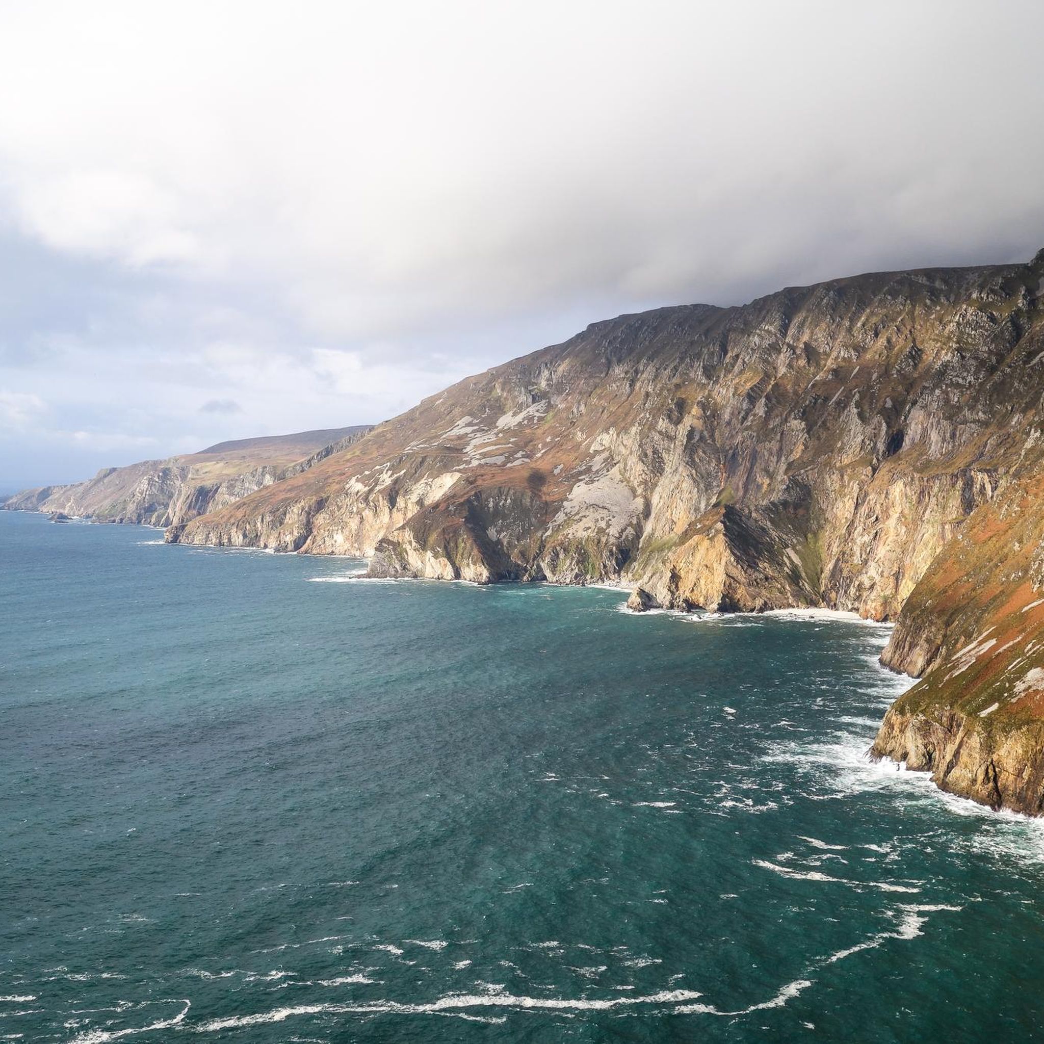
Many running routes offer access to stunning natural and historical attractions. For dramatic coastal views, consider routes near the Slieve League Cliffs. You might also encounter historical sites like Donegal Castle on routes around Donegal Town, or natural wonders like the Fairy Bridges and the Wishing Chair near Bundoran.
Are there any running routes suitable for families?
While specific family-friendly routes are not detailed in the guide, generally, the easier and shorter loops with mostly paved surfaces, such as those found around Donegal Town or Letterkenny Town Park (as mentioned in regional research), would be most suitable for families. These often provide a less strenuous experience.
Can I find running routes with parking facilities?
Many running routes in Donegal Municipal District, especially those starting from towns or popular attractions, typically have nearby parking. For example, routes around Donegal Town or Bundoran Beach are usually accessible with parking options. It's always advisable to check specific route details for precise parking information.
What is the best time of year to go running in Donegal Municipal District?
Donegal offers a great outdoor experience year-round. However, the spring and summer months (April to September) generally provide milder weather and longer daylight hours, making them ideal for exploring the coastal and forest trails. Autumn can also be beautiful with changing foliage, though weather can be more unpredictable.
What do other runners enjoy most about the trails in Donegal Municipal District?
The running routes in Donegal Municipal District are highly rated by the komoot community, with an average score of 4.6 stars from over 400 runners. Reviewers often praise the diverse terrain, from scenic coastal paths to quiet woodland trails, and the opportunities to experience the region's natural beauty and historical sites.
Are there any challenging long-distance running options?
Yes, for experienced runners seeking a challenge, there are several difficult long-distance options. The Bundoran Beach loop from Bundoran is a difficult 11.6-mile (18.6 km) path offering extensive coastal scenery. Another challenging route is the Lough Meenaviller – Lough O'Mulligon loop from Teelin, which covers 7.8 miles (12.6 km) with significant elevation changes.
Are there any running routes that pass by the Slieve League Cliffs?
Yes, for a dramatic and challenging run, consider the EIRE Sign – Slieve League Viewing Platform loop from Teelin. This 4.6-mile (7.5 km) difficult route offers stunning views of the Slieve League Cliffs, among Europe's highest sea cliffs, providing a memorable experience for adventurous runners.
Can I find running routes near Bundoran Beach?
Absolutely. Bundoran Beach is a popular spot for running. Besides the challenging Bundoran Beach loop from Bundoran, there's also a moderate 7.1-mile (11.4 km) Bundoran Beach loop from Ballyshannon and a shorter 3.9-mile (6.2 km) moderate Bundoran Beach loop from Tullaghan, offering various distances along the coast.
Most popular routes around Donegal Municipal District
Most popular attractions around Donegal Municipal District

Get inspired with the komoot mobile app


Didn’t find what you were looking for?
Check out more Running Trails & Routes throughout Donegal Municipal District below and find the perfect route in your destination.
Explore more
Browse the best Running Trails & Routes in other regions.
