The best road cycling routes around The Municipal District of Naas
4.4
(22)
1,063
riders
164
rides
Road cycling routes around The Municipal District of Naas traverse a landscape characterized by rolling Kildare countryside, offering varied terrain with gentle inclines and descents. The region features scenic waterside paths along the Grand Canal, providing accessible routes for relaxed cycling. To the east, the foothills of the Wicklow Mountains present opportunities for more challenging road cycling with greater elevation gain.
Best road cycling routes around The Municipal District of Naas
- The most popular road cycling route is Blessington Lake…
Last updated: July 11, 2026
5.0
(1)
208
riders
108km
05:14
1,370m
1,370m
Hard road ride. Very good fitness required. Mostly well-paved surfaces and easy to ride.
5.0
(3)
41
riders
51.6km
02:16
490m
490m
Moderate road ride. Good fitness required. Mostly well-paved surfaces and easy to ride.

Sign up for free
37
riders
25.9km
01:07
220m
220m
Easy road ride. Great for any fitness level. Mostly well-paved surfaces and easy to ride.
15
riders
79.5km
03:34
810m
810m
Moderate road ride. Good fitness required. Mostly well-paved surfaces and easy to ride.
4.0
(1)
17
riders
60.4km
02:27
220m
220m
Moderate road ride. Good fitness required. Mostly well-paved surfaces and easy to ride.
5.0
(1)
14
riders
35.7km
01:31
250m
250m
Easy road ride. Great for any fitness level. Mostly well-paved surfaces and easy to ride.
18
riders
66.4km
02:45
220m
220m
Moderate road ride. Good fitness required. Some segments of this route may be unpaved and difficult to ride.
3.0
(1)
13
riders
74.4km
03:02
370m
370m
Moderate road ride. Good fitness required. Mostly well-paved surfaces and easy to ride.
14
riders
73.5km
03:07
380m
380m
Moderate road ride. Good fitness required. Mostly well-paved surfaces and easy to ride.
14
riders
71.6km
03:00
400m
400m
Moderate road ride. Good fitness required. Mostly well-paved surfaces and easy to ride.
Get access to more routes and recommendations from other explorers.
Sign up for free
Already have an account?
Our route recommendations are based on thousands of hikes, rides, and runs completed by other people on komoot.
Start today with a free account
Your next adventure awaits.
Login or Signup
Popular around The Municipal District of Naas

Follow the water - Along Ireland's rivers and lakes

Ireland's blue rivers and lakes – walks along the water
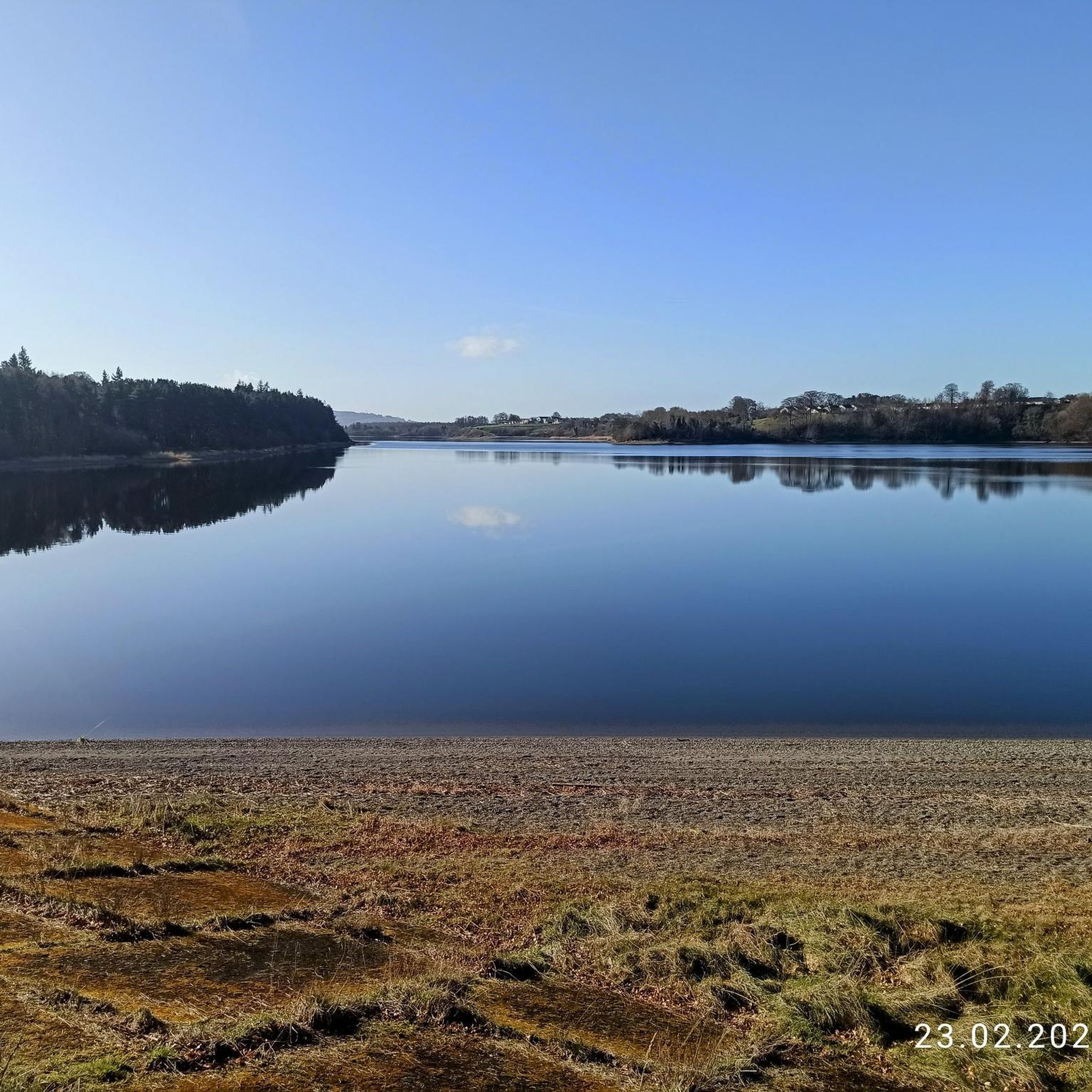
Hiking around The Municipal District of Naas
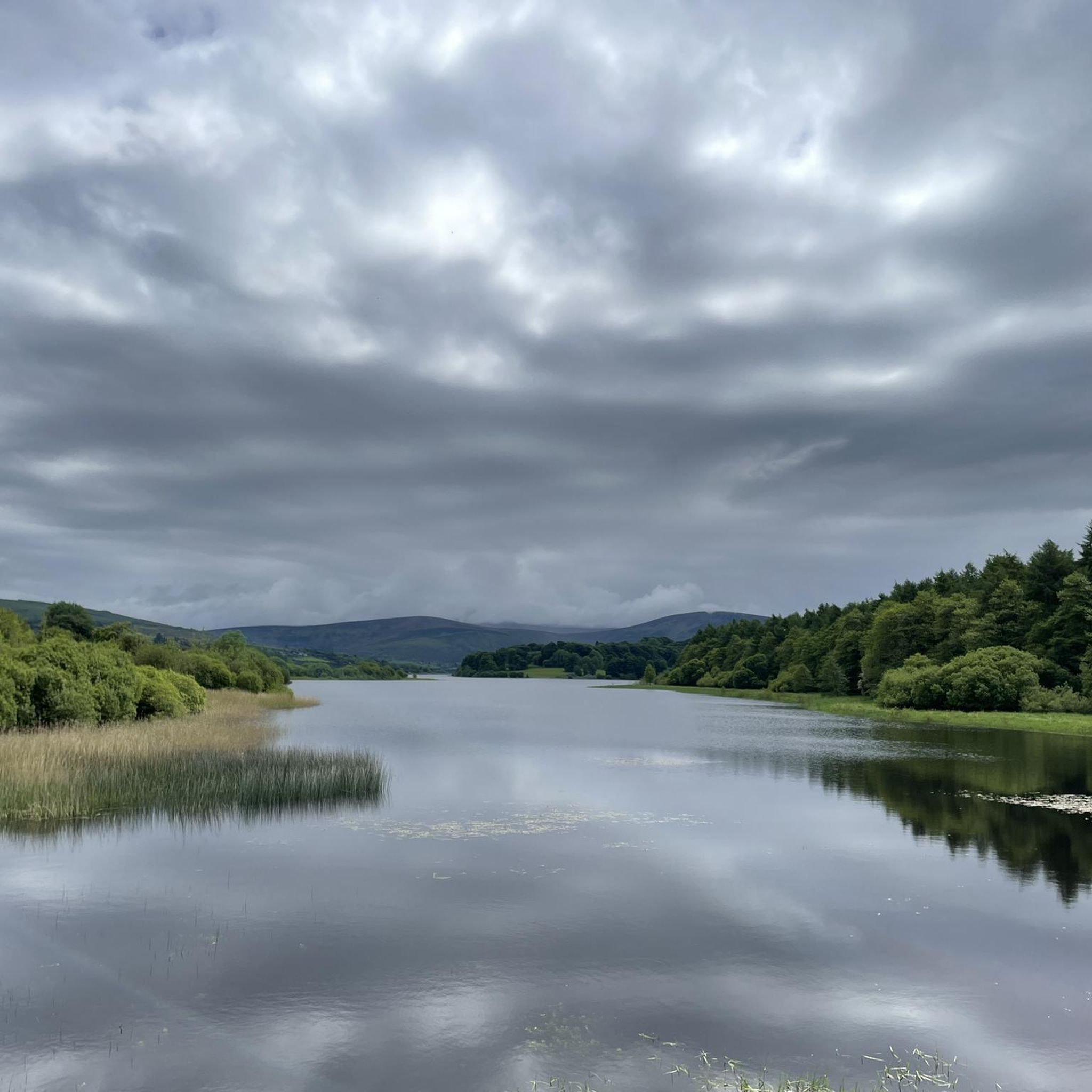
MTB Trails around The Municipal District of Naas
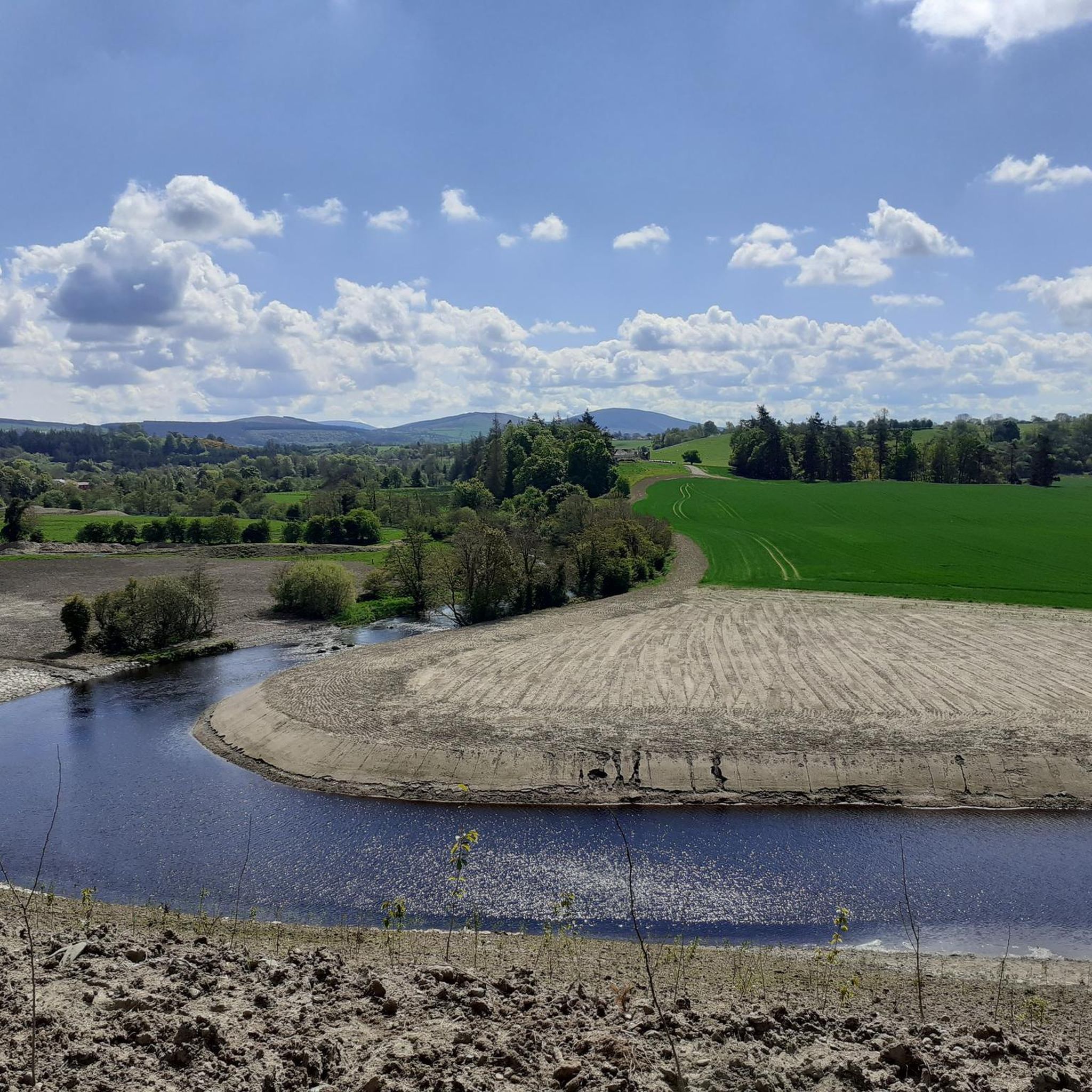
Running Trails around The Municipal District of Naas
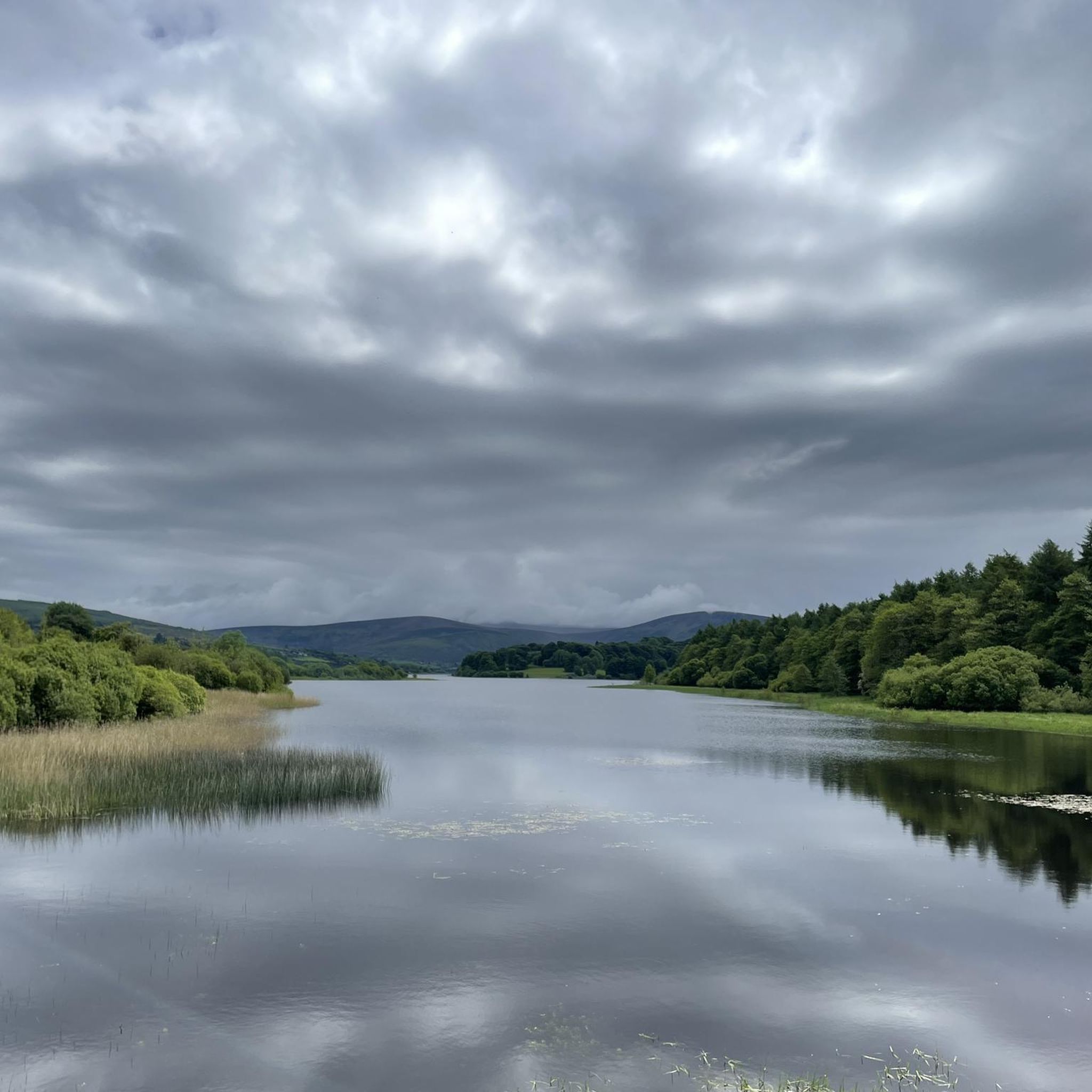
Cycling around The Municipal District of Naas
Gravel biking around The Municipal District of Naas
Other adventures around The Municipal District of Naas


Tips from the Community

Skeic Bridge crosses the northern arm of the Grand Canal Barrow Line, giving access to the island formed by the twin branches of the canal.
0
0

The Glenmacnass Waterfall cascades 80–100 metres down several broad steps into a carved U‑shaped valley, one of the wildest landscapes in the Wicklow Mountains. From the R115, you have a frontal view of the granite ledge over which the water falls, with open moorland, peat slopes, and the river winding its way towards Laragh.
8
0
The waterfall plunges in multiple stages, 80–100 meters, down a wide granite ledge. The combination of steep walls, open highlands, and the winding river below makes this one of the most dramatic panoramas in the entire R115 corridor.
6
0
Sally Gap, one of the highest and most open crossroads in the Wicklow Mountains. Here, the R759 and the Old Military Road (R115) intersect at over 500 meters altitude, in the middle of a vast moorland and heath landscape without buildings or shelter. The panorama is a full 360°: the dark bogs of Liffey Head Bog, the flanks of Kippure, the valleys towards Glencree, and the long, empty Military Road that runs like a pencil line through the highlands. This location is world-famous as a backdrop for films and series such as Braveheart, Vikings, and P.S. I Love You.
8
0

The Leinster Aqueduct is an impressive 18th-century structure that carries the Grand Canal over the River Liffey. Itwas designed to maintain a perfectly level water flow along the Grand Canal, which was crucial for slow-moving canal boats that couldn’t handle strong currents or steep changes in height.
0
0

Ruins of the Franciscan abbey founded in 1260
1
0
Blessington is a bustling market town set above Poulaphouca Reservoir, where the Wicklow Mountains meet the Kildare plains. Its broad main street is lined with cafés, pubs and shops. Just outside town lies Russborough House, a grand Palladian mansion with gardens, art collections, and walking trails, while the lakes themselves are popular for fishing, sailing, and quiet scenic walks.
0
0
Valleymount Bridge was built in the 1930s when the River Liffey was dammed to form Poulaphouca Reservoir, flooding much of the surrounding valley. It links Valleymount with Ballyknockan, carrying a quiet road across one of the most scenic stretches of the lough.
1
0
Frequently Asked Questions
How many road cycling routes are available in The Municipal District of Naas?
The Municipal District of Naas offers a wide selection of road cycling routes, with over 180 options available. These routes cater to various preferences, including easy spins, moderate challenges, and some more difficult climbs.
What kind of terrain can I expect when road cycling around Naas?
You'll find a diverse landscape for road cycling in The Municipal District of Naas. The region features picturesque waterside paths along the Grand Canal for relaxed, flat rides, as well as the lush, rolling Kildare countryside with gentle inclines and descents. To the east, the foothills of the Wicklow Mountains provide opportunities for more challenging cycling with greater elevation gain.
Are there road cycling routes suitable for beginners or families in Naas?
Yes, The Municipal District of Naas has numerous routes perfect for beginners and families. There are over 50 easy road cycling routes, many of which follow the relatively flat and scenic paths along the Grand Canal. An excellent option is the Poulaphouca Reservoir Loop – Crafternoon Tea Café loop from Naas, which is an easy 27 km (16.8 miles) ride.
What are some challenging road cycling routes for experienced riders in the Naas area?
For experienced riders seeking a challenge, the region offers routes that venture into the foothills of the Wicklow Mountains. A notable option is the View over Blessington Lakes – Sally Gap loop from Sallins and Naas, a moderate 74.2 km (46.1 miles) path that features varied terrain and more demanding sections as it approaches the Sally Gap.
Are there any circular road cycling routes around Naas?
Many of the road cycling routes in The Municipal District of Naas are designed as circular loops, allowing you to start and finish at the same point. For example, the popular Blessington Lake – View over Blessington Lakes loop from Naas is a 51.7 km (32.1 miles) circular route offering scenic views.
What interesting sights or landmarks can I see along road cycling routes near Naas?
Road cycling routes in the area often pass by interesting landmarks and natural features. You can cycle past the historic Ballymore Bridge, explore the charming settlement of Sallins, or see the engineering marvel of Naas Lock No. 4 along the Grand Canal. The Grey Abbey ruins – The Curragh loop from Sallins and Naas also offers historical sights.
Are there road cycling routes that pass by the Grand Canal?
Yes, the Grand Canal is a prominent feature in the region, and many road cycling routes incorporate its scenic towpaths. The Sallins – Naas Canal Basin loop from Sallins and Naas is a great example, offering a 72.6 km (45.1 miles) ride along the canal.
Can I find routes that include historical sites like Russborough House?
While specific komoot routes listed here may not directly enter Russborough House, the general Kildare countryside routes often pass by or near historical estates. The Grey Abbey ruins – The Curragh loop from Sallins and Naas is one route that includes a historical site, the Grey Abbey ruins, offering a cultural dimension to your ride.
Are there road cycling routes with cafe stops in The Municipal District of Naas?
Yes, several routes are known to pass by or near cafes, making for pleasant refreshment stops. The Poulaphouca Reservoir Loop – Crafternoon Tea Café loop from Naas explicitly mentions a cafe, and the Cafe Grange loop from Sallins and Naas is another option designed with a cafe stop in mind.
What do other cyclists enjoy most about road cycling in The Municipal District of Naas?
The road cycling routes in The Municipal District of Naas are highly rated by the komoot community, with an average score of 4.4 stars from over 20 reviews. Cyclists often praise the varied terrain, from the tranquil canal paths to the engaging rolling countryside, and the opportunities for both leisurely spins and more challenging rides towards the Wicklow Mountains.
Are there any routes that explore the Curragh of Kildare?
Yes, you can find road cycling routes that take you through or near the famous Curragh of Kildare. The Grey Abbey ruins – The Curragh loop from Sallins and Naas is a moderate 75.2 km (46.7 miles) route that allows you to experience this unique landscape.
Can I find routes that are easily accessible from Sallins?
Sallins serves as a convenient starting point for many road cycling adventures in the region. Routes like the Sallins – Rathangan loop from Sallins and Naas and the Sallins – Straffan Bridge and Weir loop from Sallins and Naas both begin in Sallins, offering diverse cycling experiences.
Most popular routes around The Municipal District of Naas
Most popular attractions around The Municipal District of Naas

Get inspired with the komoot mobile app


Explore more
Browse the best Road cycling routes in other regions.
