The best walks and hikes around The Municipal District of Dundalk
4.5
(336)
2,511
hikers
57
hikes
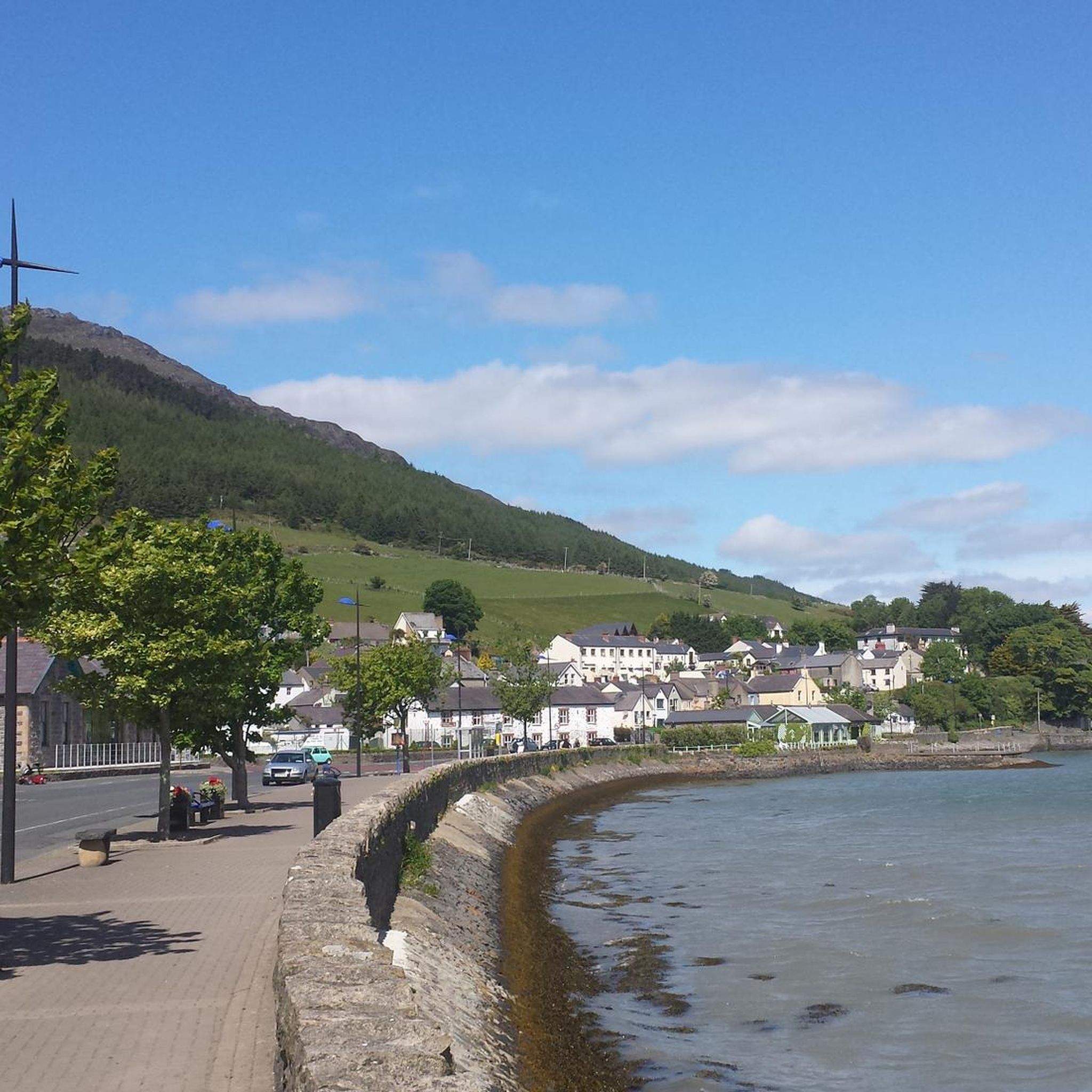
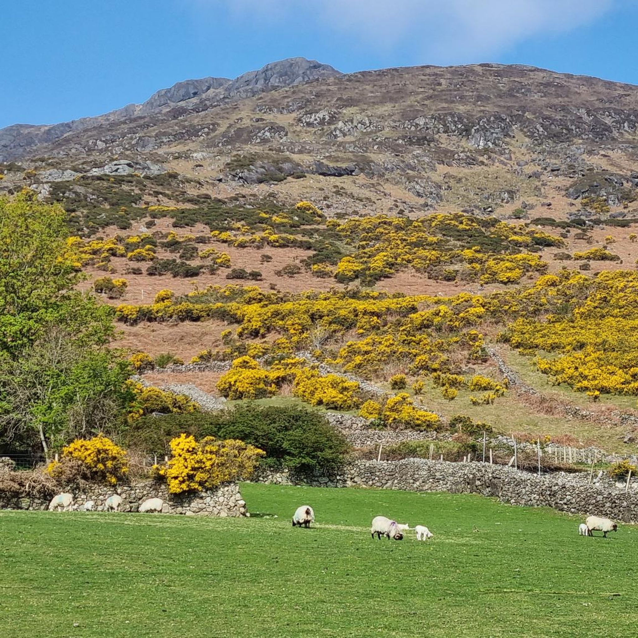
Hiking around The Municipal District of Dundalk offers diverse landscapes, from coastal plains to mountain ranges. The region is characterized by the Cooley Peninsula, which features two prominent ridges and views of the Irish Sea. Slieve Foye, the highest peak in County Louth, provides significant elevation and panoramic vistas. Additionally, Ravensdale Forest offers trails through wooded hills and valleys, contributing to the varied terrain available for outdoor activities.
Best hiking trails around The Municipal District of Dundalk
- The most popular hiking route is Ravensdale Forest loop, a 4.6 miles (7.3 km) trail that takes 2 hours 15 minutes to complete. This moderate route leads through wooded hills and valleys at the foot of the Cooley Mountains.
- Another top favourite among local hikers is Slieve Foye & Barnevave loop from Carlingford, a difficult 9.6 miles (15.4 km) path. This trail offers panoramic views over Carlingford Lough and the surrounding landscape.
- Local hikers also love the Táin Way, a 14.9 miles (24.0 km) trail leading through the Cooley Peninsula, often completed in about 7 hours 4 minutes. This difficult route traverses historical sites and varied terrain.
- Hiking around The Municipal District of Dundalk is defined by the Cooley Mountains, coastal views, and forest trails. The network offers options for different ability levels, from easy strolls to demanding summit ascents.
- The routes in The Municipal District of Dundalk are highly rated by the komoot community with an average score of 4.5 stars from over 160 reviews. More than 1200 hikers have used komoot to explore The Municipal District of Dundalk's varied terrain.
Last updated: July 16, 2026
4.3
(23)
64
hikers
7.34km
02:15
270m
270m
Moderate hike. Good fitness required. Easily-accessible paths. Suitable for all skill levels.
4.8
(6)
33
hikers
15.4km
05:26
780m
780m
Hard hike. Very good fitness required. Mostly accessible paths. Sure-footedness required.

Sign up for free
3.6
(8)
31
hikers
12.7km
03:51
430m
430m
Moderate hike. Good fitness required. Easily-accessible paths. Suitable for all skill levels.
4.8
(5)
27
hikers
16.8km
05:31
620m
620m
Hard hike. Very good fitness required. Mostly accessible paths. Sure-footedness required.
5.0
(5)
22
hikers
9.67km
03:35
530m
530m
Moderate hike. Good fitness required. Mostly accessible paths. Sure-footedness required.
9
hikers
5.27km
02:15
440m
440m
Moderate hike. Good fitness required. Easily-accessible paths. Suitable for all skill levels.
1
hikers
24.0km
07:04
680m
680m
Hike the challenging 14.9-mile Táin Way on the Cooley Peninsula, featuring diverse landscapes and panoramic views of Carlingford Lough.
2
hikers
7.66km
03:08
520m
520m
Moderate hike. Good fitness required. Mostly accessible paths. Sure-footedness required.
3
hikers
7.84km
02:40
430m
430m
Moderate hike. Good fitness required. Easily-accessible paths. Suitable for all skill levels.
2
hikers
9.67km
03:07
410m
410m
Moderate hike. Good fitness required. Easily-accessible paths. Suitable for all skill levels.
Get access to more routes and recommendations from other explorers.
Sign up for free
Already have an account?
Our route recommendations are based on thousands of hikes, rides, and runs completed by other people on komoot.
Start today with a free account
Your next adventure awaits.
Login or Signup
Popular around The Municipal District of Dundalk

Hiking around Ballynaclosha
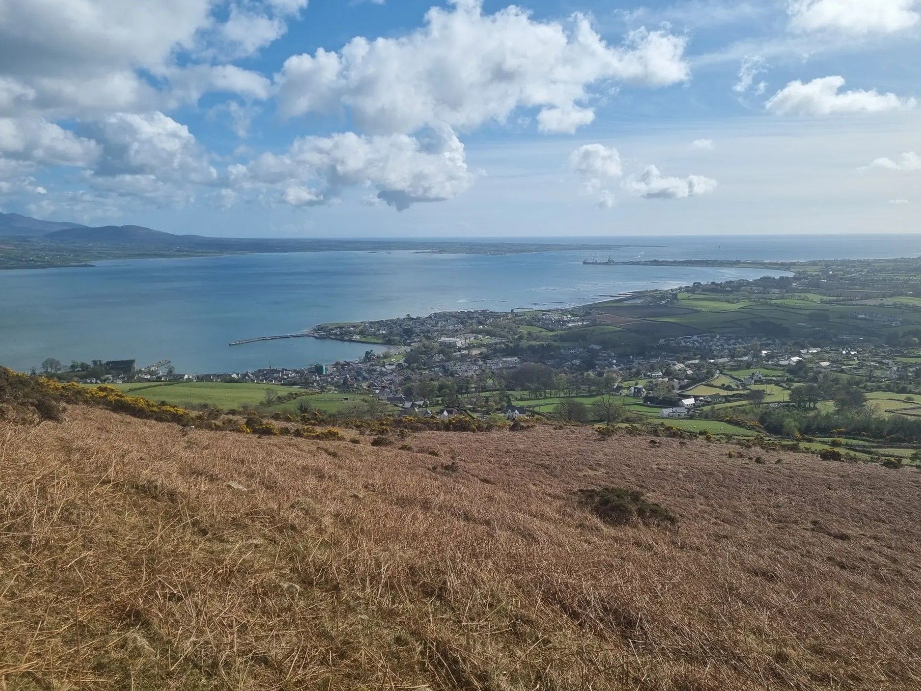
Táin Way – exploring the Cooley Peninsula

Between waves and peaks — to the best views in Ireland
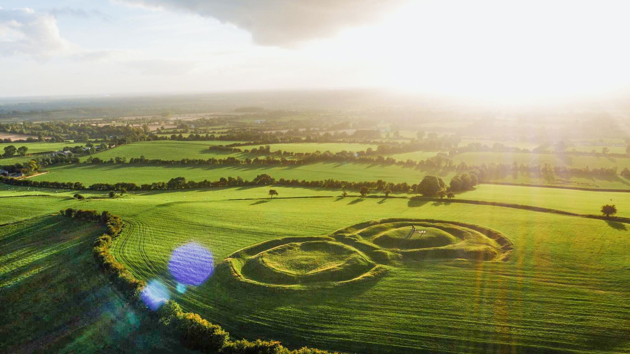
The magical east of Ireland – ancient places, scenic lakes and rocky mountains
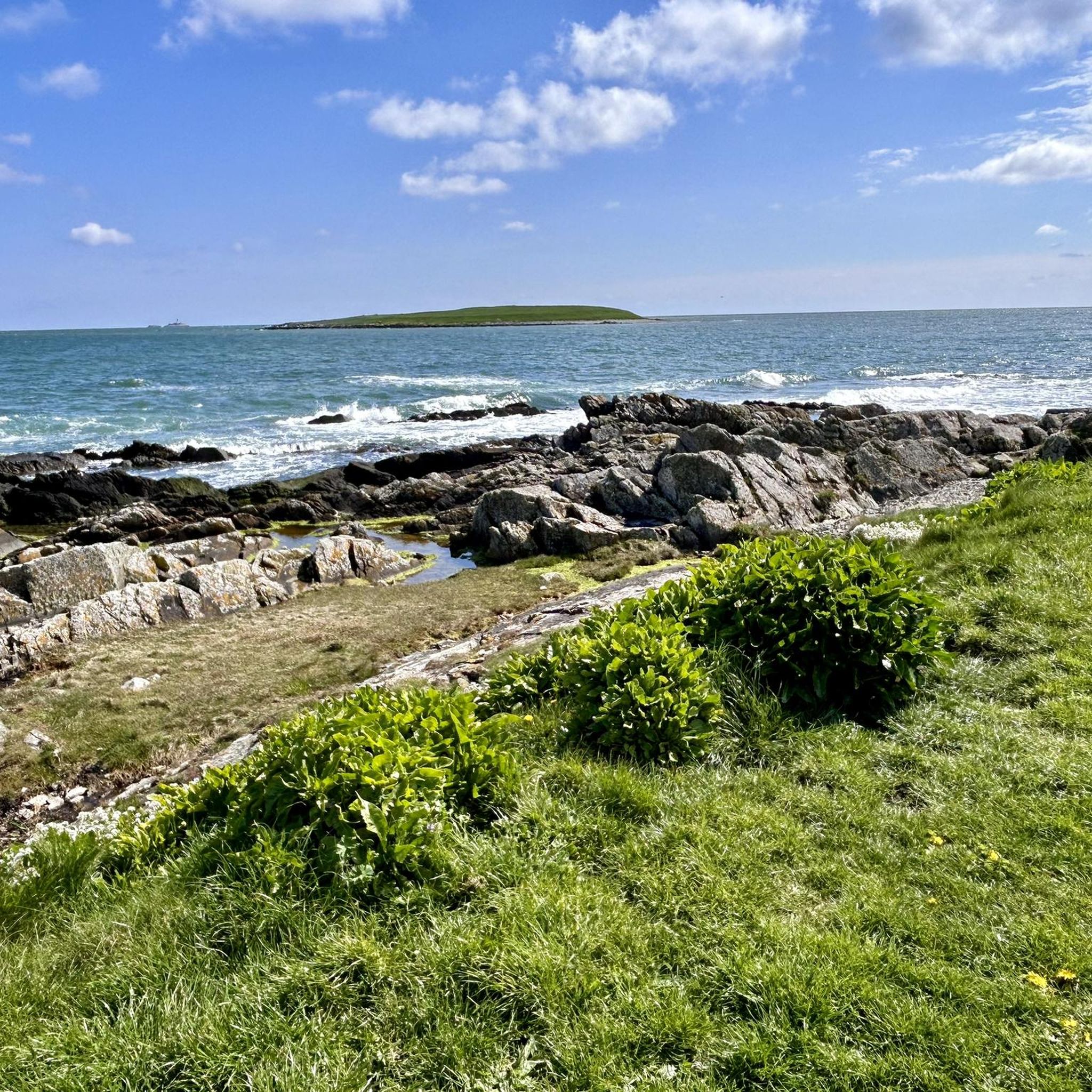
Running Trails around The Municipal District of Dundalk
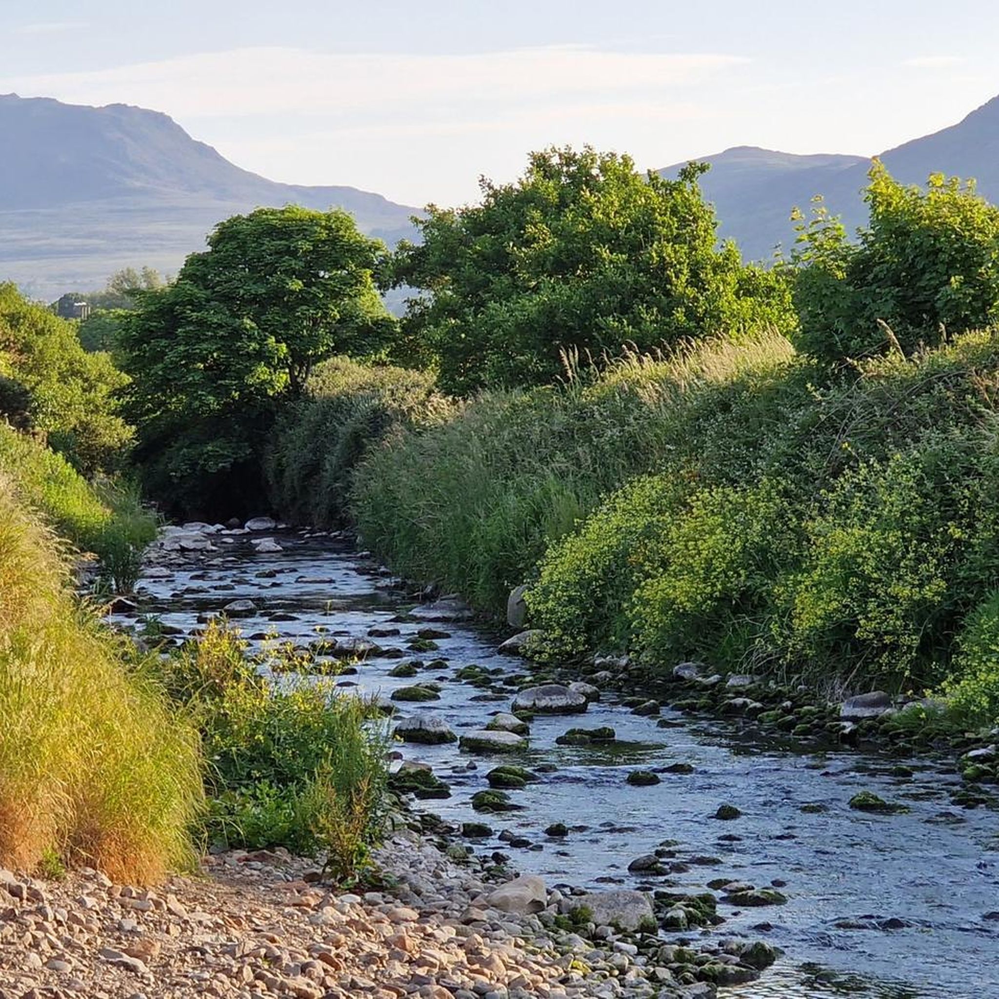
Cycling around The Municipal District of Dundalk
Road Cycling Routes around The Municipal District of Dundalk
MTB Trails around The Municipal District of Dundalk

Gravel biking around The Municipal District of Dundalk
Other adventures around The Municipal District of Dundalk


Tips from the Community

This is a spectacular viewpoint just to the north of Clermont Carn's true summit, which is somewhat less attractive due to its transmission site. The summit is also home to an ancient burial site. Looking north, you can see into Northern Ireland and across towards the Mourne Mountains.
1
0

Carnavaddy isn't quite an official mountain at 475 m (1,558 ft), but it's a prominent mountain and commands great views down the peninsula and out to sea. It can be walked from either side and is often combined with Clermont Carn to the north to make an excellent mountain day.
0
0
The Eagles Rock is a 528 metre (1,732 ft) top at the northern end of the Slieve Foye ridge. It makes a great vantage point and picnic stop when walking the ridge from Carlingford. There are great views back along the ridge and over the beautiful Carlingford Lough.
0
0

The highest bar in County Louth along the Táin Way. A traditional Irish pub that offers a cozy interior with a warming fire and excellent food. A favourite amongst locals and hikers!
0
0
The northwest top of Slieve Foye is a little lower at 535 m (1,755 ft), but the ridge is fun and you can combine the two summits and make a great loop.
0
0

A Curious Woodland in County Louth: The so-called "Faux Dolmen" nestled in the serene Ravensdale woods. This arrangement of stones isn't marked on official maps, and it's believed that the former owners of the nearby Clermont Estate might have crafted such "prehistoric" features as landscape ornaments. Despite its questionable authenticity, the site exudes a certain charm, blending seamlessly with the natural surroundings. It offers a delightful pause for reflection amidst the greenery. Whether a genuine ancient relic or a 19th-century folly, it adds an element of intrigue to the hike. For those interested in exploring this feature, the Anaverna Trail can be accessed from Ballymascanlan, offering a moderate hike through picturesque landscapes.
2
1
Viewpoint over the valley with benches and some parking. Near the Clermont Carn (transmission towers)
1
2
Druid’s Circle, Clermont Estate: this small oval stone circle above the Flurry River, marked as both “Standing Stone” and “Druids Circle” on old maps, was likely uncovered in 1840 by Lord Clermont. Though some believe it’s prehistoric, others argue it may be 19th-century landscaping. Its irregular layout and re-set stones cast doubt on its authenticity. Still, it’s a scenic and mysterious woodland stop.
1
0
Frequently Asked Questions
How many hiking trails are available in The Municipal District of Dundalk?
The Municipal District of Dundalk offers a wide variety of hiking experiences, with over 50 distinct trails. These range from easy strolls to challenging mountain ascents, ensuring options for all fitness levels.
Are there easy hiking trails suitable for beginners or families?
Yes, there are many easy trails perfect for beginners and families. For instance, the Ravensdale Forest loop is a moderate 7.3 km trail through wooded hills, offering a pleasant experience. Another family-friendly option is Stephenstown Pond Nature Park, which provides easy walks by the lake and through the woods, complete with a playground and picnic areas.
What are some good options for circular walks in the area?
Many trails in the region are circular, allowing you to start and end at the same point. The Ravensdale Forest — Black Mountain loop is a great moderate 12.7 km option. For a more challenging circular route with stunning views, consider the Carlingford – Slieve Foye Summit loop from Carlingford.
Can I bring my dog on the hiking trails?
Many trails in The Municipal District of Dundalk are dog-friendly, especially those in forest parks like Ravensdale Forest. However, it's always best to keep dogs on a leash, particularly in areas with livestock or protected wildlife, and to check specific trail regulations before you go.
What kind of landscapes can I expect to see while hiking here?
The Municipal District of Dundalk boasts diverse landscapes. You can expect to traverse coastal plains, explore dense woodlands in areas like Ravensdale Forest, and ascend the dramatic Cooley and Ring of Gullion mountain ranges. Many trails offer panoramic views of the Irish Sea, Carlingford Lough, and the surrounding countryside.
Are there any historical sites or landmarks to explore along the trails?
Yes, the region is rich in history. The Táin Way, for example, traverses numerous historical sites linked to the epic Táin Bó Cúailnge. You can also find archaeological elements like standing stones and a 'faux dolmen' in Ravensdale Forest. The charming medieval town of Carlingford, a popular starting point for hikes, features a 13th-century Anglo-Norman castle and medieval town walls.
What are the more challenging hikes in The Municipal District of Dundalk?
For experienced hikers seeking a challenge, the region offers several difficult routes. The Slieve Foye & Barnevave loop from Carlingford is a demanding 15.4 km path with significant elevation gain, providing extensive views. The Táin Way, at 24 km, is another difficult trail that offers an immersive experience through varied terrain.
Is public transport available to reach hiking trailheads?
While some trailheads might be accessible by local bus services, many of the more remote or mountainous hiking starting points are best reached by car. It's advisable to check local bus schedules and routes in advance if you plan to rely on public transport.
What do other hikers say about the trails in The Municipal District of Dundalk?
The trails in The Municipal District of Dundalk are highly rated by the komoot community, with an average score of 4.5 stars from over 160 reviews. Hikers often praise the diverse scenery, from coastal views to mountain vistas, and the well-maintained paths, especially within the forest parks.
Are there any trails that offer views of the coast or sea?
Absolutely. The Cooley Peninsula, which defines much of the region, offers stunning views of the Irish Sea and Carlingford Lough. Trails ascending Slieve Foye, such as the View of Northern Ireland – Carlingford loop from The Eagles Rock, provide expansive coastal panoramas, often including glimpses of the Mourne Mountains in the distance.
Where can I find trails that go through forests?
Ravensdale Forest is the primary destination for forest hikes. It offers numerous trails, including the Ravensdale Forest loop, which winds through wooded hills and valleys. Slieve Gullion, though technically in Northern Ireland but easily accessible, also features shaded woodland trails.
Are there any trails that lead to a summit with panoramic views?
Yes, for breathtaking panoramic views, consider hiking to the Slieve Foye Summit. As the highest peak in County Louth, it offers unparalleled vistas over Carlingford Lough, the Cooley Peninsula, and beyond. Another option is the The Foxes Rock – The Eagles Rock loop from The Windy Gap, which provides elevated views.
What is the best time of year to go hiking in The Municipal District of Dundalk?
Spring and autumn are generally considered the best times for hiking in The Municipal District of Dundalk. The weather is often milder, and the landscapes are vibrant with spring blooms or rich autumn colours. Summer can also be pleasant, but be prepared for potentially warmer temperatures and more visitors. Winter hikes are possible, but require appropriate gear for colder, wetter conditions.
Most popular routes around The Municipal District of Dundalk
Most popular attractions around The Municipal District of Dundalk

Get inspired with the komoot mobile app


Didn’t find what you were looking for?
Check out more Hikes throughout The Municipal District of Dundalk below and find the perfect route in your destination.
