The best walks and hikes around Ballina Municipal District
4.4
(132)
645
hikers
23
hikes
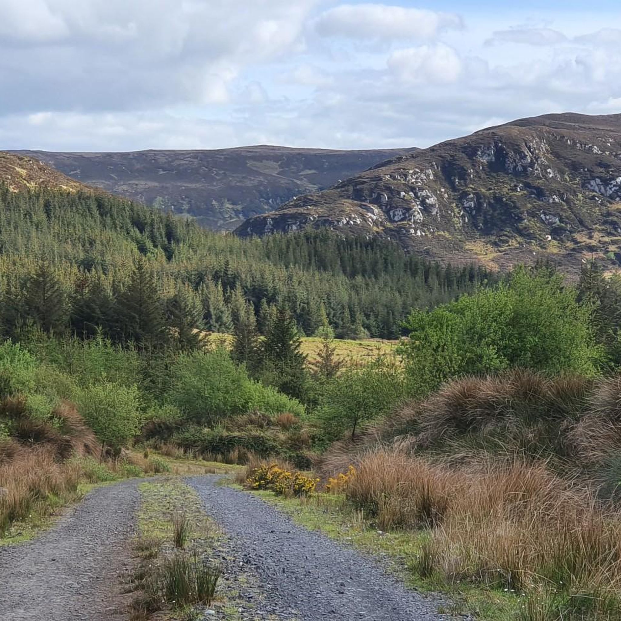
Hiking around Ballina Municipal District offers diverse landscapes, from dramatic Atlantic coastlines to the rugged Ox and Nephin Mountain Ranges. The region is bisected by the River Moy, providing tranquil riverside paths, and features extensive woodlands like Belleek Wood. Ancient archaeological sites, such as Céide Fields, are integrated into the natural environment, offering unique exploration opportunities.
Best hiking trails around Ballina Municipal District
- The most popular hiking route is Ballycastle Sralagagh loop, a 5.7 miles (9.2 km) trail that takes 2 hours 35 minutes to complete, offering views of the coastline and diverse landscapes.
- Another top favourite among local hikers is Moygownagh Loop Trail, a moderate 9.6 miles (15.5 km) path exploring forests, ancient sites, and Lough Naweela.
- Local hikers also love the Blanemore Forest Archaeological Trail, a 2.9 miles (4.6 km) trail leading through a forest with historical significance, often completed in about 1 hour 11 minutes.
- Hiking around Ballina Municipal District is defined by dramatic coastlines, mountain ranges, and lush woodlands. The network offers options for different ability levels, from easy forest walks to moderate mountain trails.
- The routes in Ballina Municipal District are highly rated by the komoot community with an average score of 4.5 stars from over 100 reviews. More than 400 hikers have used komoot to explore Ballina Municipal District's varied terrain.
Last updated: June 30, 2026
4.8
(4)
21
hikers
9.21km
02:35
190m
190m
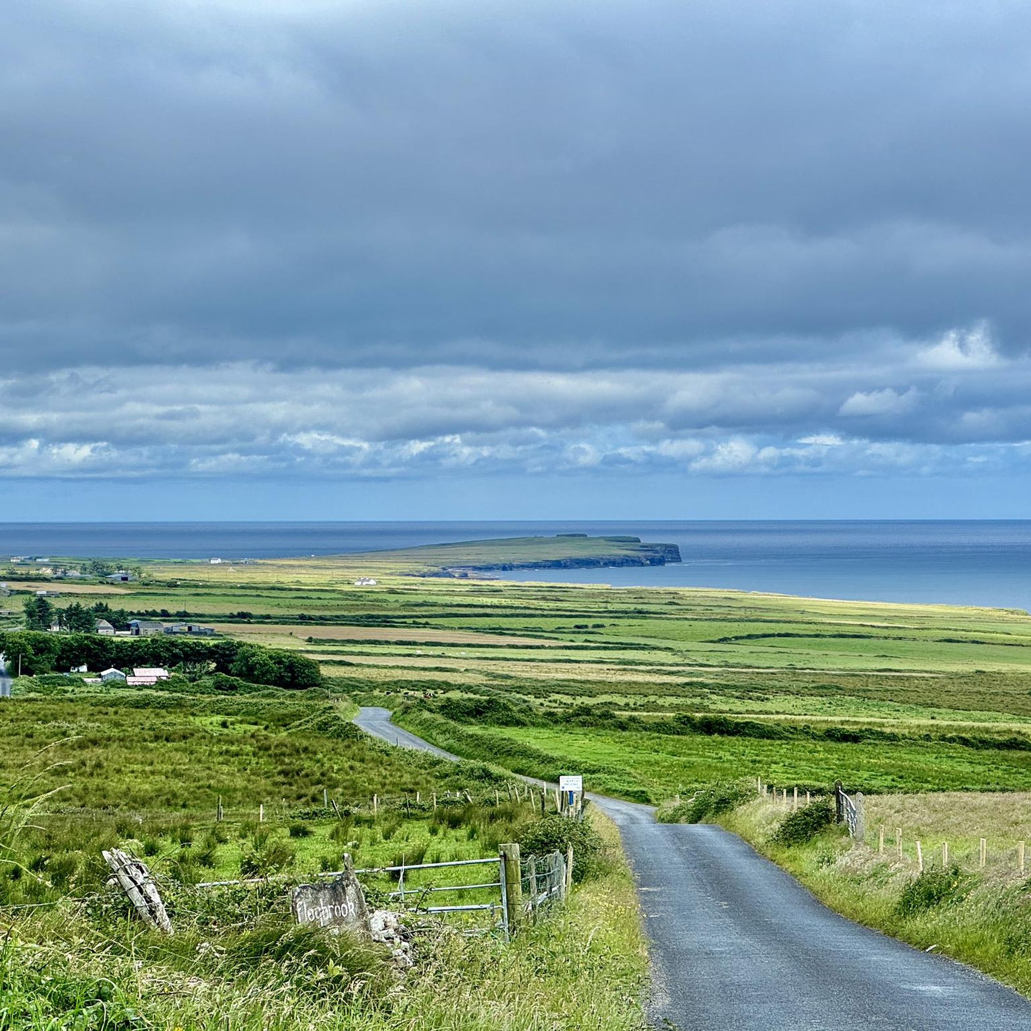
Hike the Ballycastle Sralagagh loop, a moderate 5.7-mile trail in County Mayo, offering diverse landscapes and views of Downpatrick Head.
3.7
(6)
18
hikers
4.59km
01:11
20m
20m
Hike the easy 2.9-mile Blanemore Forest Archaeological Trail, exploring ancient history and Lough Naweela in just over an hour.

Sign up for free
5.0
(1)
10
hikers
10.5km
02:42
70m
70m
Hike the Kilcummin Red Loop, a 6.5-mile moderate trail in County Mayo, offering coastal views, historical sites, and diverse terrain.
3
hikers
9.25km
02:28
100m
100m
Hike the moderate 5.7-mile Glen Loop, gaining 314 feet in elevation, with scenic views along the Glenree River and through Windy Gap.
4
hikers
15.5km
03:58
60m
60m
Hike the moderate 9.6-mile Moygownagh Loop Trail in County Mayo, exploring Blanemore Forest, ancient sites, and Lough Naweela.
2
hikers
7.58km
02:00
80m
80m
Moderate hike. Good fitness required. Easily-accessible paths. Suitable for all skill levels.
1
hikers
13.5km
03:30
330m
470m
Moderate hike. Good fitness required. Easily-accessible paths. Suitable for all skill levels.
1.46km
00:22
0m
0m
Easy hike. Great for any fitness level. Easily-accessible paths. Suitable for all skill levels.
5.0
(2)
33
hikers
2.01km
00:33
30m
30m
Easy hike. Great for any fitness level. Easily-accessible paths. Suitable for all skill levels.
5.0
(4)
11
hikers
4.13km
01:04
20m
20m
Easy hike. Great for any fitness level. Easily-accessible paths. Suitable for all skill levels.
Get access to more routes and recommendations from other explorers.
Sign up for free
Already have an account?
Our route recommendations are based on thousands of hikes, rides, and runs completed by other people on komoot.
Start today with a free account
Your next adventure awaits.
Login or Signup
Popular around Ballina Municipal District
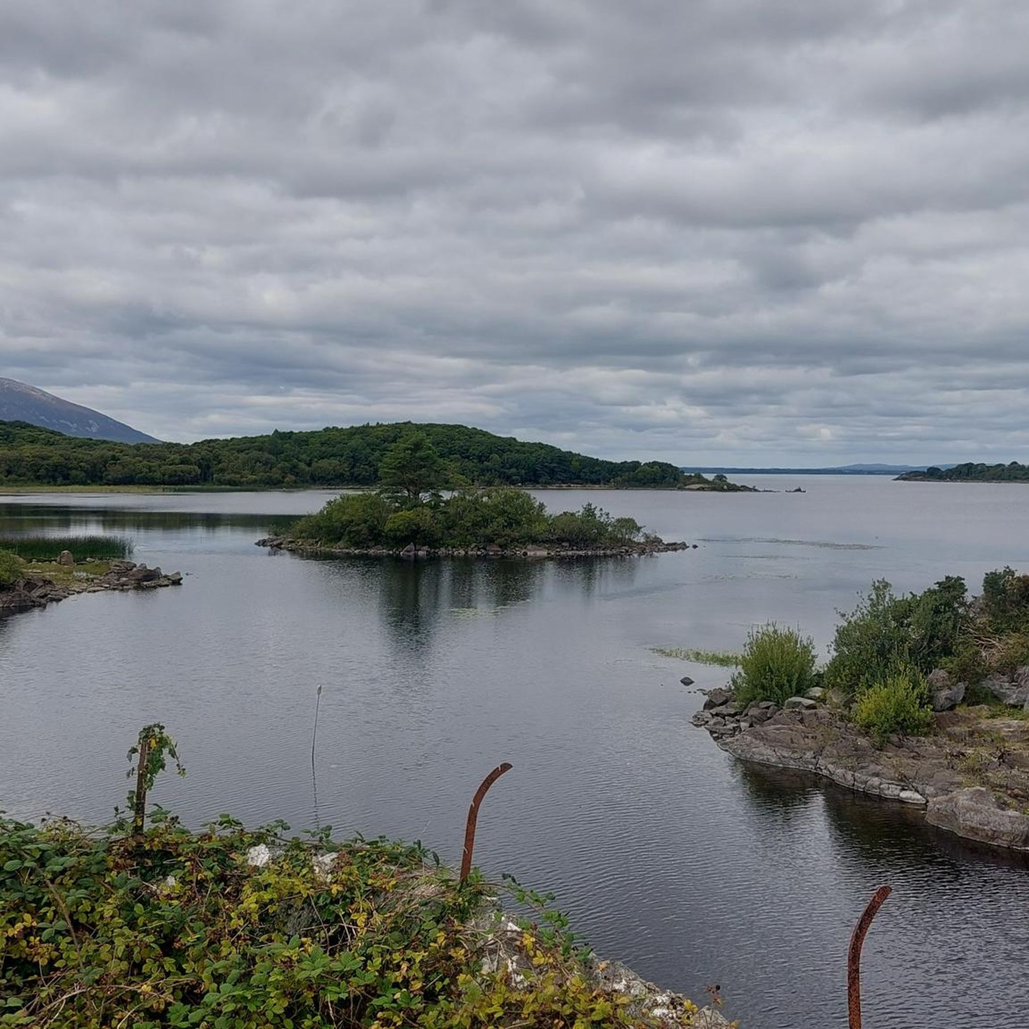
Hiking around Lough Conn
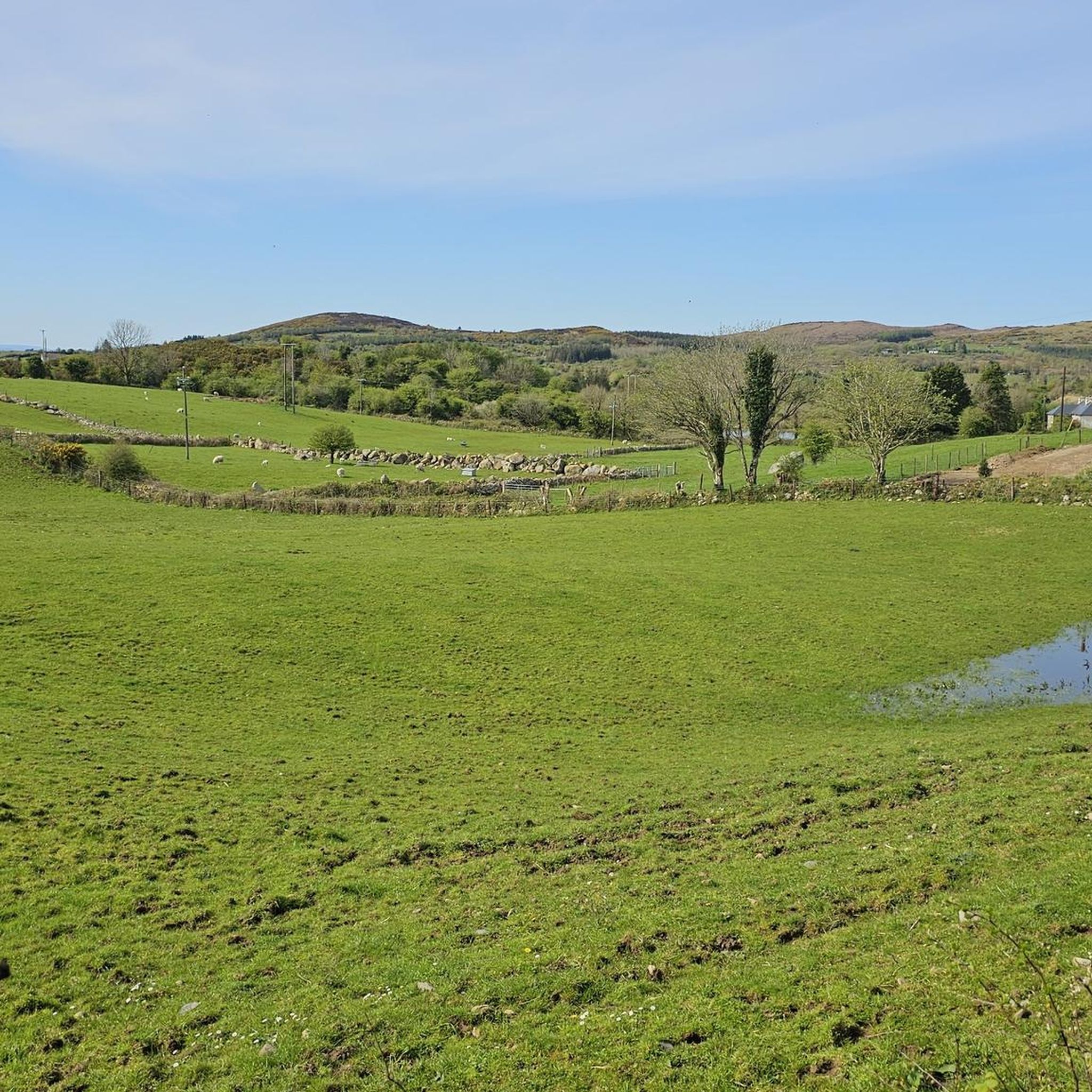
Hiking around Ballymore Lough
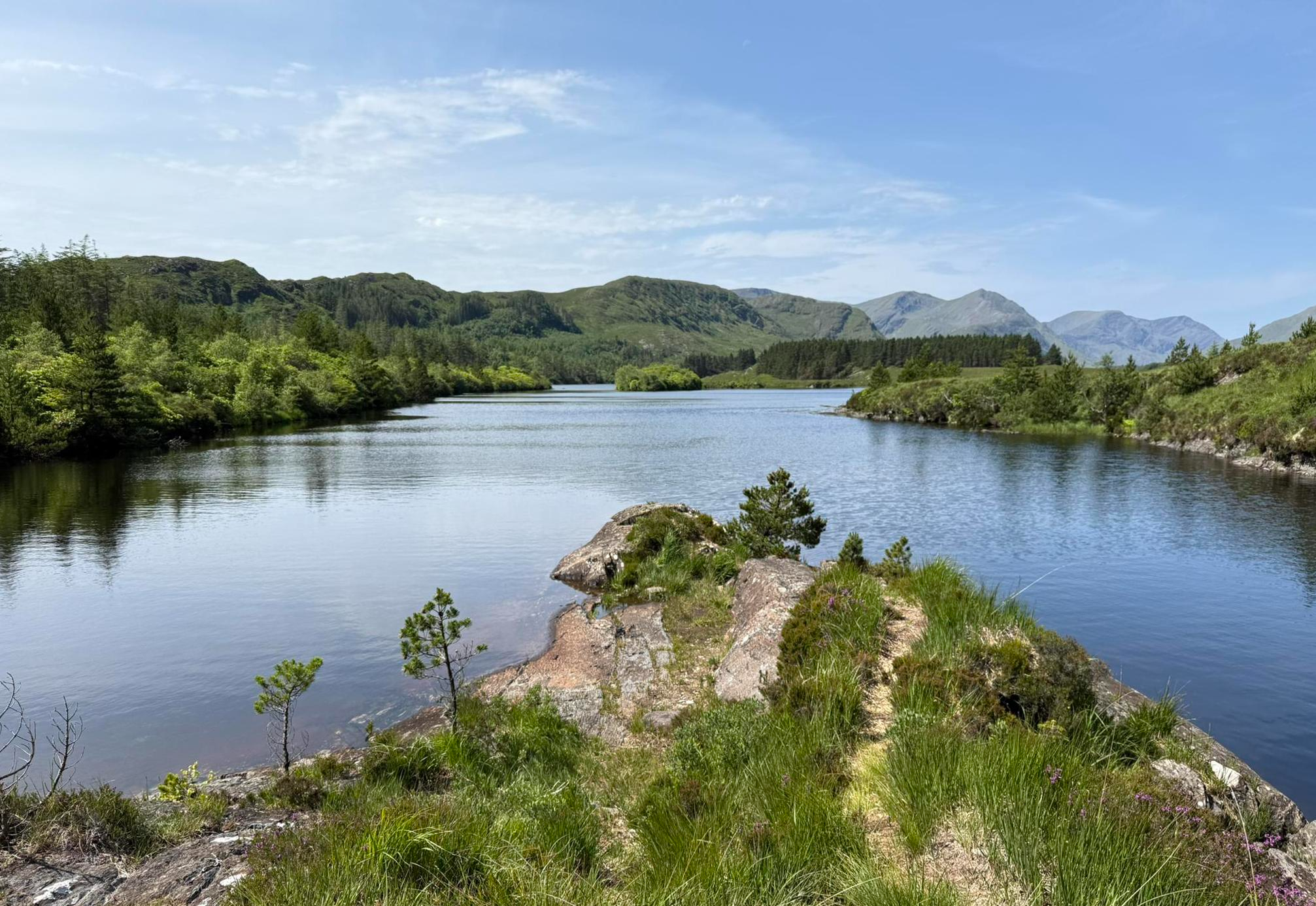
Western Way – Rugged mountains, remote hills and scenic splendour
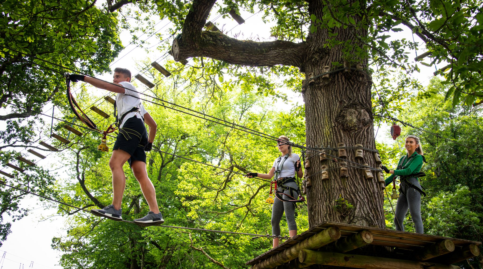
Awaken your spirit of discovery — family-friendly walks in Ireland
MTB Trails around Ballina Municipal District
Road Cycling Routes around Ballina Municipal District
Cycling around Ballina Municipal District
Running Trails around Ballina Municipal District
Other adventures around Ballina Municipal District


Tips from the Community

19th-century ice house that was part of the former salmon fishery on the Moy. The above-ground stone structure with bars in the door and windows still stands, while the roof has disappeared. Inside, you look straight up at the trees from the round cellar. Quiet, photogenic stop along the path, with a beautiful contrast between stone and forest green.
5
0
The cycle path through Belleek Woods takes you through a lush, historic forest along the banks of the River Moy. As you cycle beneath the dense tree canopy, you'll pass unique sights such as the Crete Boom (a concrete ship), an old ice house, and a mysterious 19th-century famine wall. This paved forest path is part of the Monasteries of the Moy Greenway and offers a safe, natural passage towards the historic abbeys further on. Keep an eye out for the rare red squirrels that thrive here.
4
0
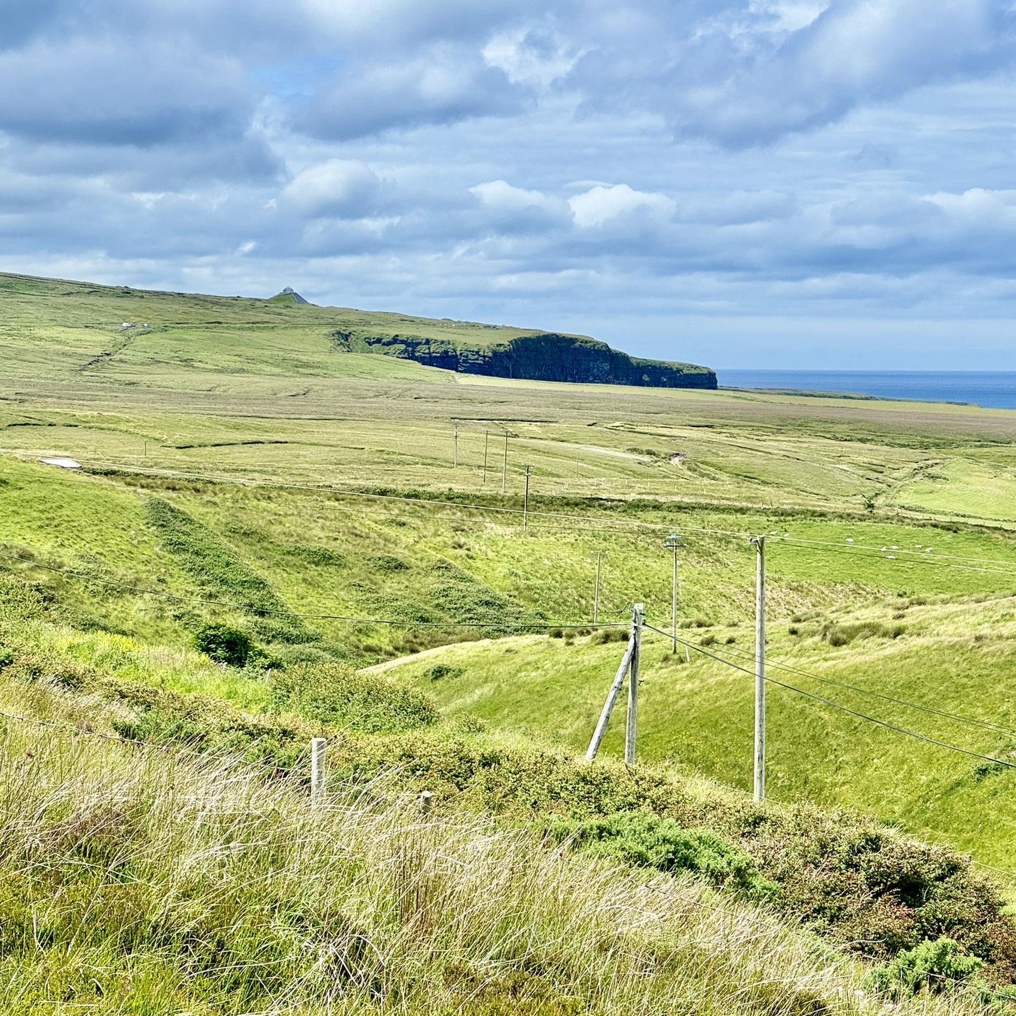
Poll na Seantainne — deep blowhole on the limestone plateau of Downpatrick Head. Formed by the collapse of a sea cave, with the thundering Atlantic surf beneath your feet. A raw, impressive geological window into the same power that shaped Dún Briste.
6
0
Poll na Seantainne — deep blowhole on the limestone plateau of Downpatrick Head. Formed by the collapse of a sea cave, with thundering Atlantic surf beneath your feet. A raw, impressive geological window into the same power that shaped Dún Briste.
4
0
Dún Briste — imposing, 45-meter-high sea stack, broken off from the coastal plateau by centuries of Atlantic erosion. Perfectly visible Carboniferous limestone layers and a rugged, isolated silhouette in the midst of the surf. One of the most striking geological points on the Irish west coast.
7
0
Turtleback Mounds — rounded, natural ridges on the limestone plateau near Dún Briste. Formed from glacial deposits and erosion, with soft shapes lying like turtle backs in the grass. A subtle but typical detail of the rugged coastal landscape.
3
0
Modern statue of St. Patrick on the coastal plateau of Downpatrick Head. Reminiscent of the early Christian monastic site that tradition says stood here. St. Patrick looks out over the cliffs and the ocean — a symbolic point on the way to Dún Briste.
6
0
Walk the path to the left of the plateau for this beautiful coastline and this hole in the ground.
6
0
Frequently Asked Questions
How many hiking trails are available in Ballina Municipal District?
Ballina Municipal District offers a wide variety of hiking experiences, with over 20 routes available. These range from easy forest walks to more challenging mountain trails, catering to different fitness levels.
Are there any easy or family-friendly walks in the Ballina Municipal District?
Yes, there are several easy and family-friendly options. For a gentle forest walk with historical significance, consider the Blanemore Forest Archaeological Trail, which is just under 3 miles. Another excellent choice is the Belleek Woods loop from Moy, offering a peaceful stroll through one of Europe's largest urban forests along the River Moy.
What are some good circular walks in the area?
Many trails in Ballina Municipal District are designed as loops. The Moygownagh Loop Trail is a moderate 9.6-mile path exploring forests, ancient sites, and Lough Naweela. For a coastal experience, the Ballycastle Sralagagh loop offers diverse landscapes over 5.7 miles.
What kind of natural attractions can I see while hiking in Ballina Municipal District?
The region is rich in natural beauty. You can encounter dramatic coastlines and sea stacks, such as the iconic Dún Briste Sea Stack at Downpatrick Head. Lush woodlands like Belleek Wood offer serene environments, while the River Moy provides tranquil riverside scenery. The majestic Ox and Nephin Mountain Ranges also offer rugged backdrops.
Are there any historical sites accessible via hiking trails?
Absolutely. The Ballina Municipal District is home to significant historical sites. The Céide Fields, a globally significant Neolithic site, is integrated into the landscape and offers unique exploration opportunities. You can also find ancient structures and historical significance along trails like the Blanemore Forest Archaeological Trail.
What is the typical duration of hikes in Ballina Municipal District?
Hike durations vary significantly. Shorter, easy walks like the Ballycastle Beach out and back can be completed in under 30 minutes. Moderate trails, such as the Kilcummin Red Loop (6.5 miles), typically take around 2 hours 40 minutes. Longer, more challenging routes can extend to 4 hours or more, like the ascent of Nephin Mountain.
What do other hikers say about the trails in Ballina Municipal District?
The routes in Ballina Municipal District are highly regarded by the komoot community, with an average score of 4.5 stars from over 100 reviews. Hikers often praise the diverse landscapes, from dramatic coastlines to peaceful woodlands, and the well-maintained paths that cater to various skill levels.
Are there any trails that offer views of lakes or mountains?
Yes, several trails provide stunning views of both. The Frenchmans Lough to Roosky Lough on Ox Mountain Trail offers expansive mountain scenery and views of loughs within the Ox Mountain Range. The Moygownagh Loop Trail also includes views of Lough Naweela.
Can I find trails that are suitable for a longer, moderate hike?
For a longer, moderate hike, consider the Glen Loop, which covers approximately 5.7 miles and takes around 2 hours 20 minutes. Another option is the Kilcummin Blue Figure of Eight, a 4.7-mile trail that offers a varied landscape.
What is the best time of year to go hiking in Ballina Municipal District?
The Ballina Municipal District is beautiful year-round, but the best time for hiking is generally from late spring to early autumn (May to September) when the weather is milder and daylight hours are longer. However, coastal walks can be dramatic in any season, and woodlands like Belleek Wood offer charm even in winter.
Are there any coastal walks in the Ballina Municipal District?
The district boasts breathtaking coastal scenery. You can enjoy walks along stunning beaches like Ross Strand (a Blue Flag beach) or explore the dramatic cliffs around Downpatrick Head. The Ballycastle Beach out and back offers a short, easy stroll right by the sea.
Most popular routes around Ballina Municipal District
Most popular attractions around Ballina Municipal District

Get inspired with the komoot mobile app


Didn’t find what you were looking for?
Check out more Hikes throughout Ballina Municipal District below and find the perfect route in your destination.
Explore more
Browse the best Hikes in other regions.
