The best road cycling routes around The Municipal District of Baltinglass
4.6
(59)
2,576
riders
144
rides
Road cycling around The Municipal District of Baltinglass offers diverse terrain, encompassing rolling hills, river valleys, and mountainous ascents within West Wicklow, Ireland. The region is characterized by its natural features, including the Wicklow Mountains and the River Slaney, providing varied experiences for cyclists. Elevated points offer views of Blessington Lake, adding to the scenic backdrop for road cycling routes. This area is well-suited for road cycling, featuring scenic country roads and challenging climbs.
Best road cycling routes around The…
Last updated: July 7, 2026
3.5
(4)
103
riders
34.4km
01:31
300m
300m
This easy 21.4-mile road cycling loop from Blessington offers scenic views of Poulaphouca Reservoir and the Wicklow Mountains.
5.0
(3)
24
riders
36.0km
01:39
370m
370m
Moderate road ride. Good fitness required. Mostly well-paved surfaces and easy to ride.

Sign up for free
122
riders
108km
05:38
1,910m
1,910m
Hard road ride. Very good fitness required. Mostly well-paved surfaces and easy to ride.
5.0
(2)
57
riders
87.1km
04:31
1,470m
1,470m
Hard road ride. Very good fitness required. Mostly well-paved surfaces and easy to ride.
38
riders
43.9km
01:58
450m
450m
Moderate road ride. Good fitness required. Mostly well-paved surfaces and easy to ride.
30
riders
104km
05:09
1,540m
1,540m
Hard road ride. Very good fitness required. Mostly well-paved surfaces and easy to ride.
24
riders
114km
05:37
1,700m
1,700m
Hard road ride. Very good fitness required. Mostly well-paved surfaces and easy to ride.
27
riders
33.1km
01:24
240m
240m
Easy road ride. Great for any fitness level. Mostly well-paved surfaces and easy to ride.
3.0
(1)
25
riders
Moderate road ride. Good fitness required. Mostly well-paved surfaces and easy to ride.
20
riders
84.1km
04:10
1,230m
1,230m
Hard road ride. Very good fitness required. Mostly well-paved surfaces and easy to ride.
Get access to more routes and recommendations from other explorers.
Sign up for free
Already have an account?
Our route recommendations are based on thousands of hikes, rides, and runs completed by other people on komoot.
Start today with a free account
Your next adventure awaits.
Login or Signup
Popular around The Municipal District of Baltinglass
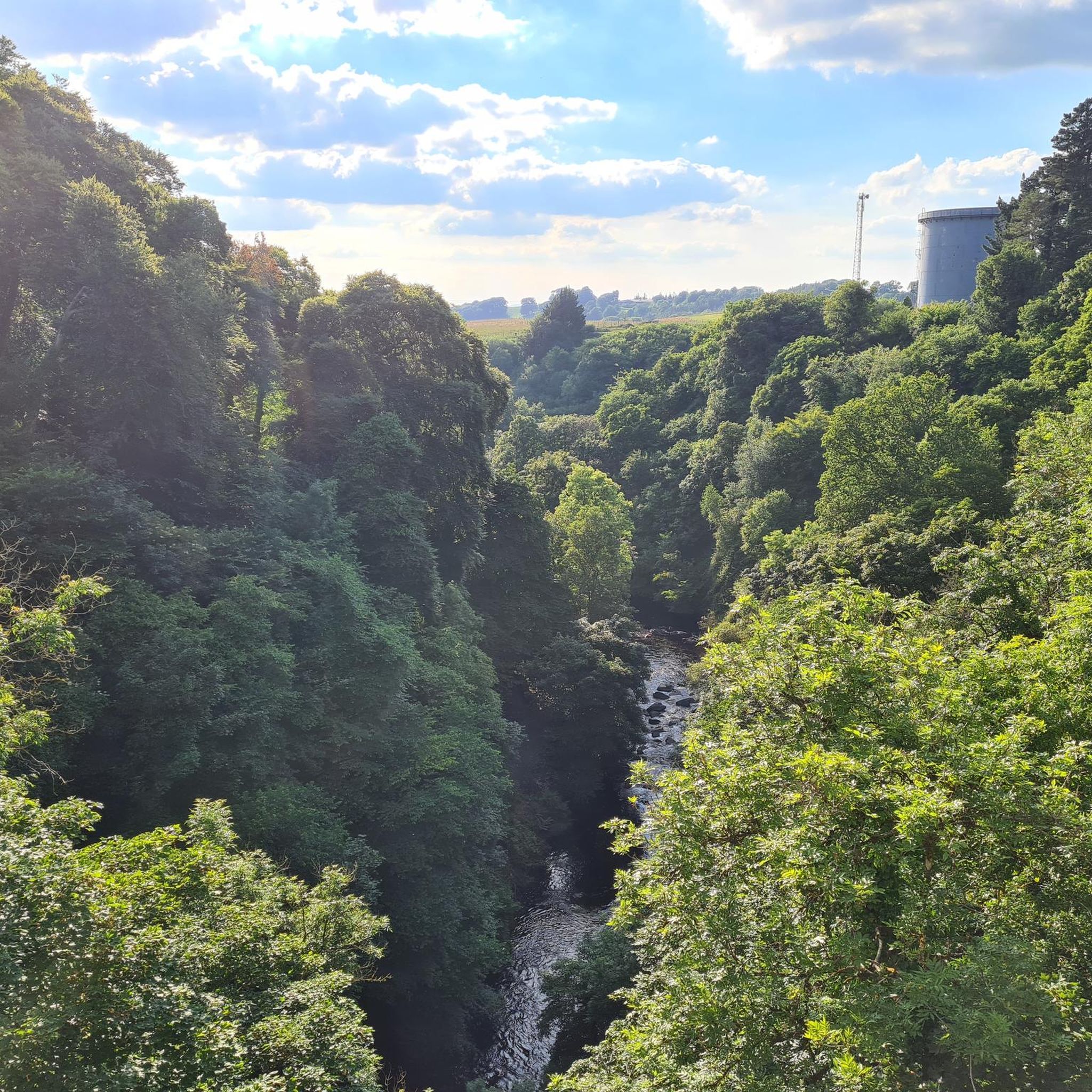
Road Cycling Routes around Poulaphouca Reservoir
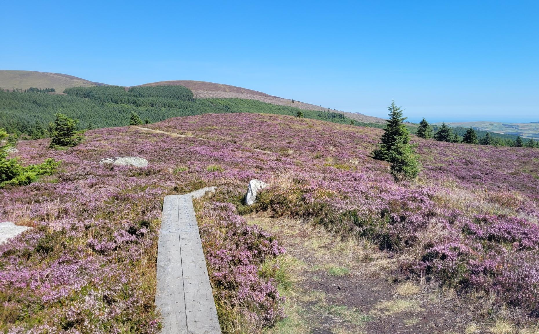
Running the Wicklow Way – From the city to the mountains
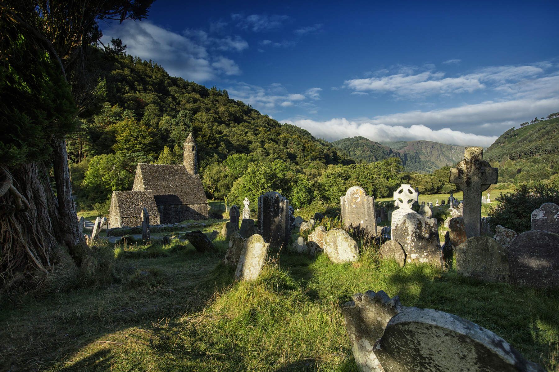
The Wicklow Way — discover Ireland's east
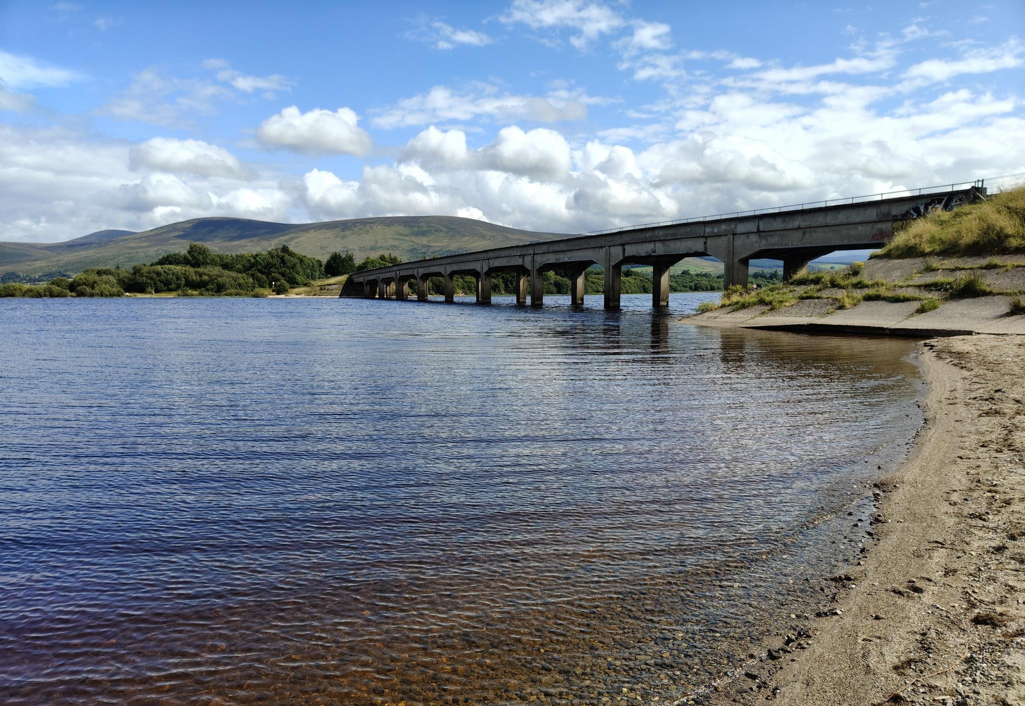
Lough shores and country roads – Blessington Loop

Follow the water - Along Ireland's rivers and lakes
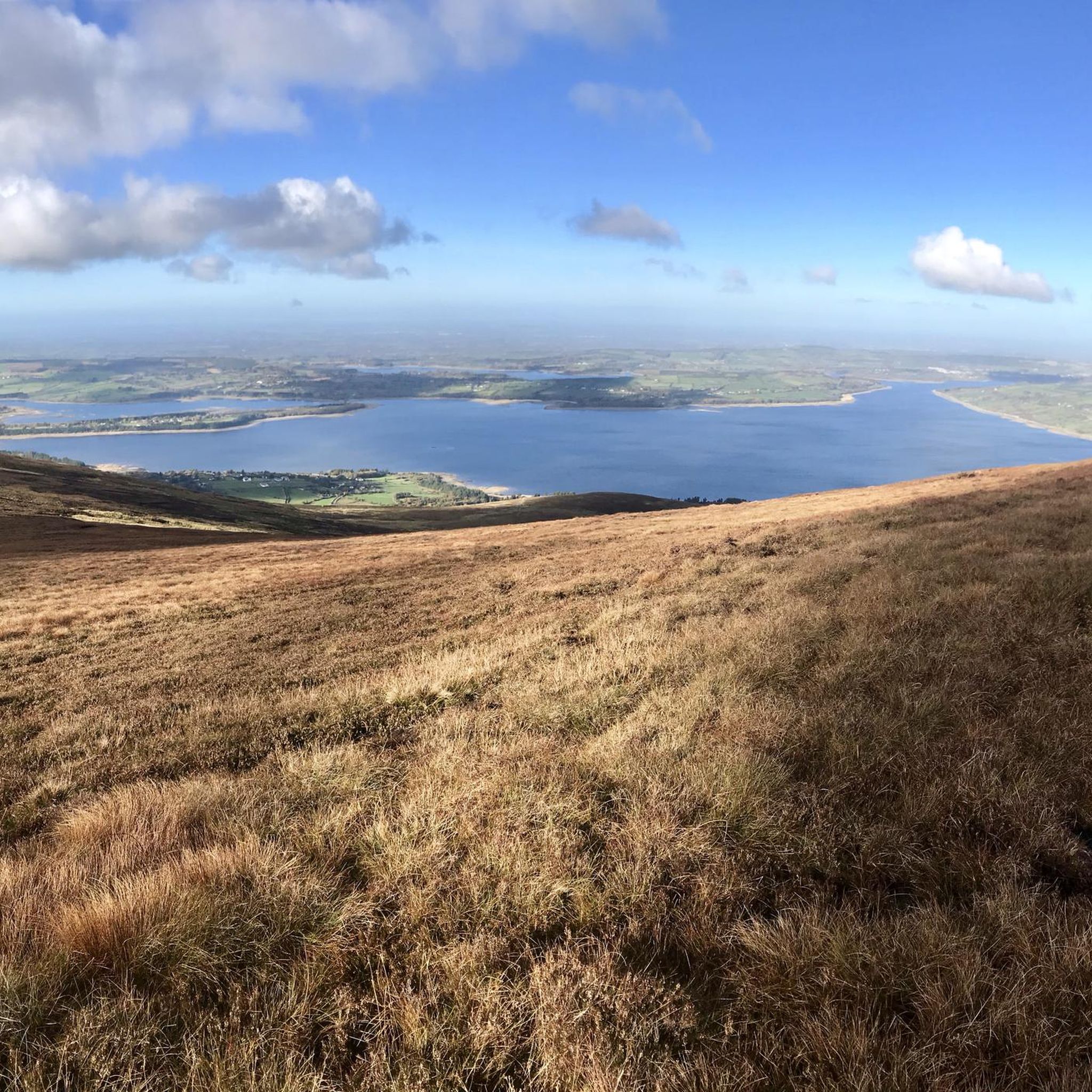
Hiking around The Municipal District of Baltinglass
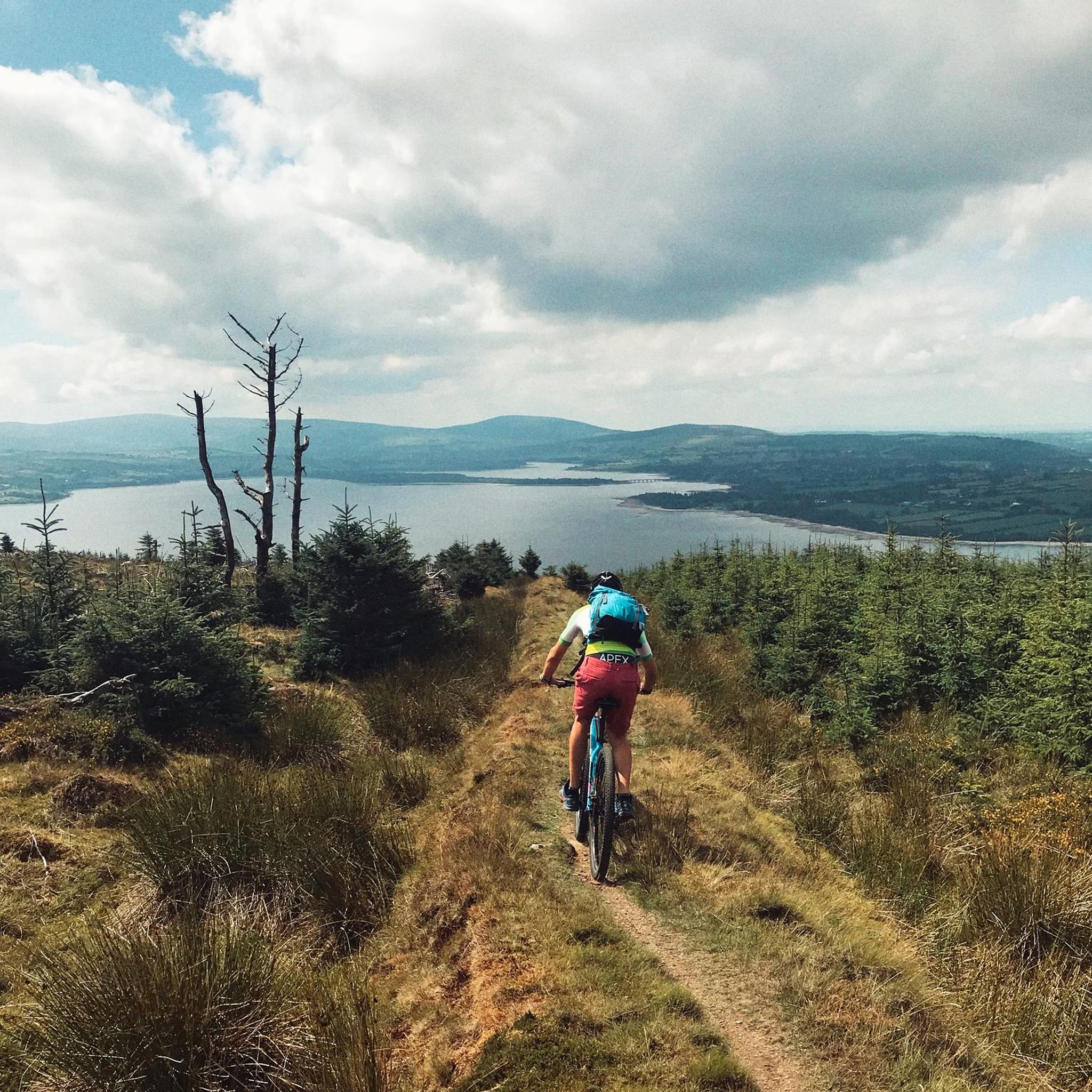
MTB Trails around The Municipal District of Baltinglass
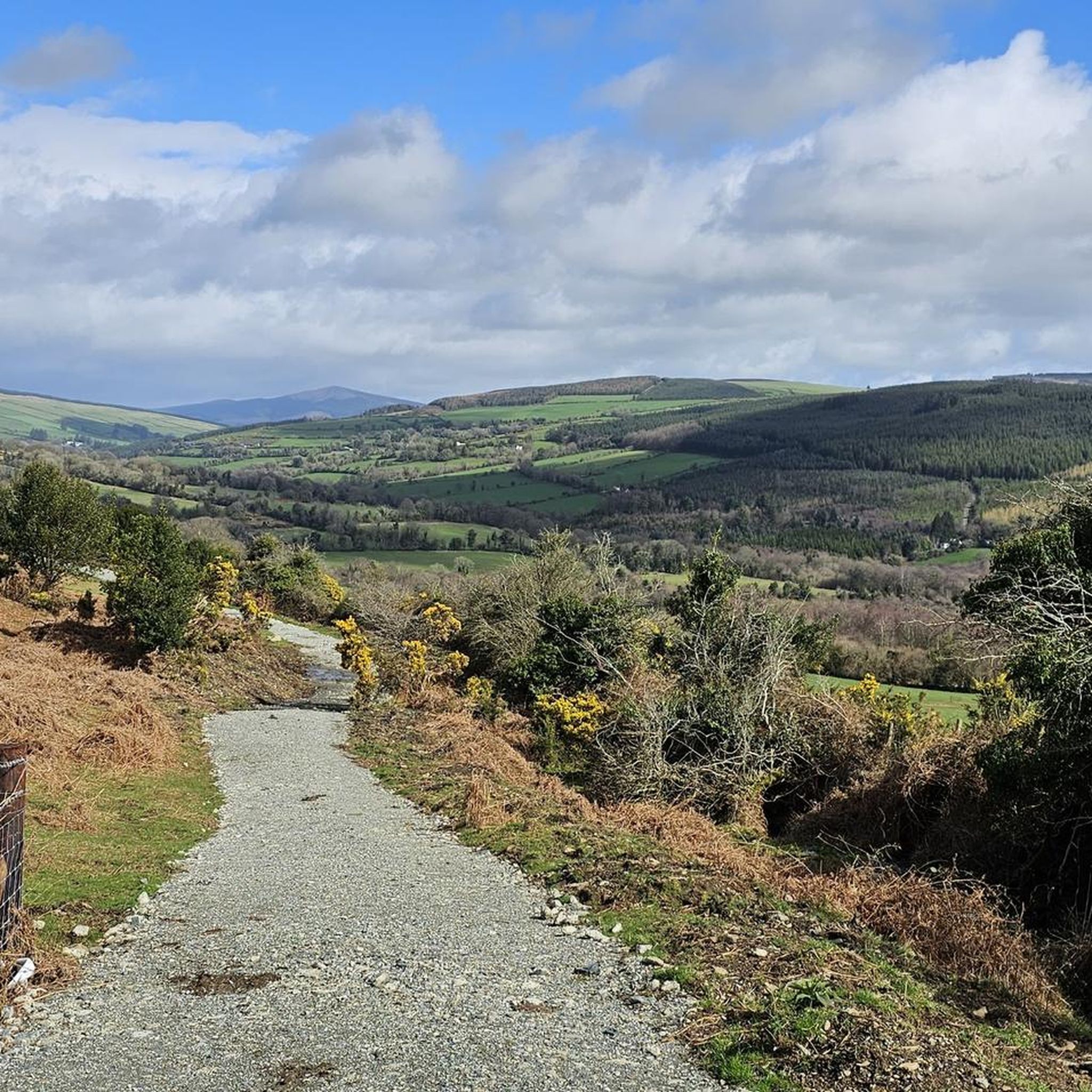
Cycling around The Municipal District of Baltinglass
Running Trails around The Municipal District of Baltinglass

Gravel biking around The Municipal District of Baltinglass
Other adventures around The Municipal District of Baltinglass


Tips from the Community

The Glenmacnass Waterfall cascades 80–100 metres down several broad steps into a carved U‑shaped valley, one of the wildest landscapes in the Wicklow Mountains. From the R115, you have a frontal view of the granite ledge over which the water falls, with open moorland, peat slopes, and the river winding its way towards Laragh.
8
0
The waterfall plunges in multiple stages, 80–100 meters, down a wide granite ledge. The combination of steep walls, open highlands, and the winding river below makes this one of the most dramatic panoramas in the entire R115 corridor.
6
0
Sally Gap, one of the highest and most open crossroads in the Wicklow Mountains. Here, the R759 and the Old Military Road (R115) intersect at over 500 meters altitude, in the middle of a vast moorland and heath landscape without buildings or shelter. The panorama is a full 360°: the dark bogs of Liffey Head Bog, the flanks of Kippure, the valleys towards Glencree, and the long, empty Military Road that runs like a pencil line through the highlands. This location is world-famous as a backdrop for films and series such as Braveheart, Vikings, and P.S. I Love You.
8
0
You are here on one of the most characteristic sections of the Old Military Road, built between 1800 and 1809 by the British Army to control the Wicklow Mountains after the 1798 Rebellion. This section of the L1013 runs across an open high plateau with wide, rugged views towards Glencree, Kippure and the northern Wicklow Mountains.
6
0
For the cyclist, this is the main attraction. The café is located in the old armoury and is known for its hearty soups, homemade cakes, and good coffee. You could almost call it a cycling café.
7
0
In the heart of the rugged Wicklow Mountains lies the Deutscher Soldatenfriedhof, a place of deep peace and reflection. Here rest 134 people, mainly German military personnel (mostly pilots and naval staff) who died in or near Ireland during the First and Second World Wars, as well as a number of civilian internees. The symmetrical rows of crosses, the low granite, and the open grassy expanse create a subdued atmosphere that strongly contrasts with the rugged Wicklow landscape surrounding it.
7
0


Blessington is a bustling market town set above Poulaphouca Reservoir, where the Wicklow Mountains meet the Kildare plains. Its broad main street is lined with cafés, pubs and shops. Just outside town lies Russborough House, a grand Palladian mansion with gardens, art collections, and walking trails, while the lakes themselves are popular for fishing, sailing, and quiet scenic walks.
0
0
Frequently Asked Questions
How many road cycling routes are available in The Municipal District of Baltinglass?
The Municipal District of Baltinglass offers a wide selection of road cycling routes, with over 150 routes available. These routes cater to various skill levels, including easy, moderate, and difficult options.
What kind of terrain can I expect when road cycling around Baltinglass?
Road cycling in the Baltinglass area features diverse terrain, from rolling hills and picturesque river valleys along the River Slaney to more challenging mountainous ascents within the Wicklow Mountains. You'll find scenic country roads and demanding climbs, offering varied experiences for all cyclists.
Are there any easy road cycling routes suitable for beginners or families?
Yes, there are several easy routes perfect for beginners or those looking for a more relaxed ride. One popular option is the Poulaphouca Reservoir loop from Blessington, an easy 34.4 km (21.4 miles) trail that offers scenic views and takes approximately 1 hour 30 minutes to complete.
What are some challenging road cycling routes in the Baltinglass area?
For experienced cyclists seeking a challenge, routes like the Military Road (L1013) – Sally Gap loop from Blessington are ideal. This difficult 107.6 km (66.9 miles) path features significant elevation gain through the Wicklow Mountains, including demanding ascents such as the Wicklow Gap and Slieve Mann.
What natural features or landmarks can I see along the cycling routes?
Many routes offer stunning views of natural features like the Wicklow Mountains and Blessington Lake. You can also pass by historical sites such as the Baltinglass Abbey and Baltinglass Hill, which contains a Neolithic passage grave. From elevated points, you might even catch glimpses of Dublin on a clear day. For specific peaks and historical sites, consider exploring highlights like Seefin Passage Tomb or Church Mountain Summit.
What do other cyclists say about road cycling in The Municipal District of Baltinglass?
The road cycling routes in The Municipal District of Baltinglass are highly rated by the komoot community, with an average score of 4.3 stars from over 20 reviews. More than 1200 road cyclists have explored the area, often praising its varied terrain and scenic beauty.
Are there any circular road cycling routes available?
Yes, many routes in the region are designed as loops, allowing you to start and finish in the same location. Examples include the Poulaphouca Reservoir loop from Blessington and the Blessington Lake – View over Blessington Lakes loop from Ballyknockan, which offers a 51.9 km (32.3 miles) ride around the lake area.
What is the best time of year to go road cycling in Baltinglass?
The Municipal District of Baltinglass is a great destination for road cycling, particularly during the warmer months when the weather is more predictable. Spring and autumn offer pleasant temperatures and beautiful scenery, while summer provides longer daylight hours. Be prepared for varied weather conditions, as is typical for the Wicklow region.
Are there places to eat or stay for cyclists in Baltinglass?
Baltinglass town and the surrounding villages offer various amenities for cyclists, including cafes, pubs, and accommodation options. These establishments provide convenient stops for refreshments, meals, or overnight stays, allowing you to refuel and relax after your rides.
Is there public transport available to Baltinglass that accommodates bikes?
While specific bike accommodation on public transport can vary, bus services connect Baltinglass to larger towns. It's advisable to check with individual transport providers regarding their policies for carrying bicycles before planning your journey.
Where can I find parking for road cycling routes in Baltinglass?
Parking is generally available in Baltinglass town center and at various starting points for routes in the surrounding area. Many routes, especially those starting from larger villages like Blessington, will have designated parking facilities suitable for cyclists.
Most popular routes around The Municipal District of Baltinglass
Most popular attractions around The Municipal District of Baltinglass

Get inspired with the komoot mobile app


Didn’t find what you were looking for?
Check out more Road cycling routes throughout The Municipal District of Baltinglass below and find the perfect route in your destination.
Explore more
Browse the best Road cycling routes in other regions.
