The best road cycling routes around The Municipal District of Greystones
4.4
(37)
3,352
riders
84
rides
Road cycling around The Municipal District of Greystones offers diverse landscapes, from coastal paths along the Irish Sea to challenging ascents into the Wicklow Mountains. The region features a varied topography with a mix of climbs and descents through areas like Kilcoole, Newcastle, and Newtownmountkennedy. Cyclists can experience routes that traverse both scenic coastlines and the more rugged beauty of inland hills. This area is known for its extensive network of road cycling routes suitable for various fitness levels.
Best…
Last updated: July 8, 2026
5.0
(3)
119
riders
47.9km
02:00
300m
300m
Easy road ride. Great for any fitness level. Mostly well-paved surfaces and easy to ride.
70
riders
136km
06:57
2,230m
2,220m
Hard road ride. Very good fitness required. Mostly well-paved surfaces and easy to ride.

Sign up for free
48
riders
64.4km
02:54
620m
620m
Moderate road ride. Good fitness required. Mostly well-paved surfaces and easy to ride.
60
riders
80.8km
03:33
730m
730m
Moderate road ride. Good fitness required. Mostly well-paved surfaces and easy to ride.
36
riders
55.5km
02:30
570m
570m
Moderate road ride. Good fitness required. Mostly well-paved surfaces and easy to ride.
53
riders
62.4km
02:42
520m
520m
Moderate road ride. Good fitness required. Mostly well-paved surfaces and easy to ride.
32
riders
60.4km
03:00
850m
850m
Moderate road ride. Good fitness required. Mostly well-paved surfaces and easy to ride.
27
riders
64.1km
03:12
1,000m
1,000m
Hard road ride. Very good fitness required. Mostly well-paved surfaces and easy to ride.
30
riders
106km
05:02
1,360m
1,360m
Hard road ride. Very good fitness required. Mostly well-paved surfaces and easy to ride.
27
riders
Moderate road ride. Good fitness required. Mostly well-paved surfaces and easy to ride.
Get access to more routes and recommendations from other explorers.
Sign up for free
Already have an account?
Our route recommendations are based on thousands of hikes, rides, and runs completed by other people on komoot.
Start today with a free account
Your next adventure awaits.
Login or Signup
Popular around The Municipal District of Greystones

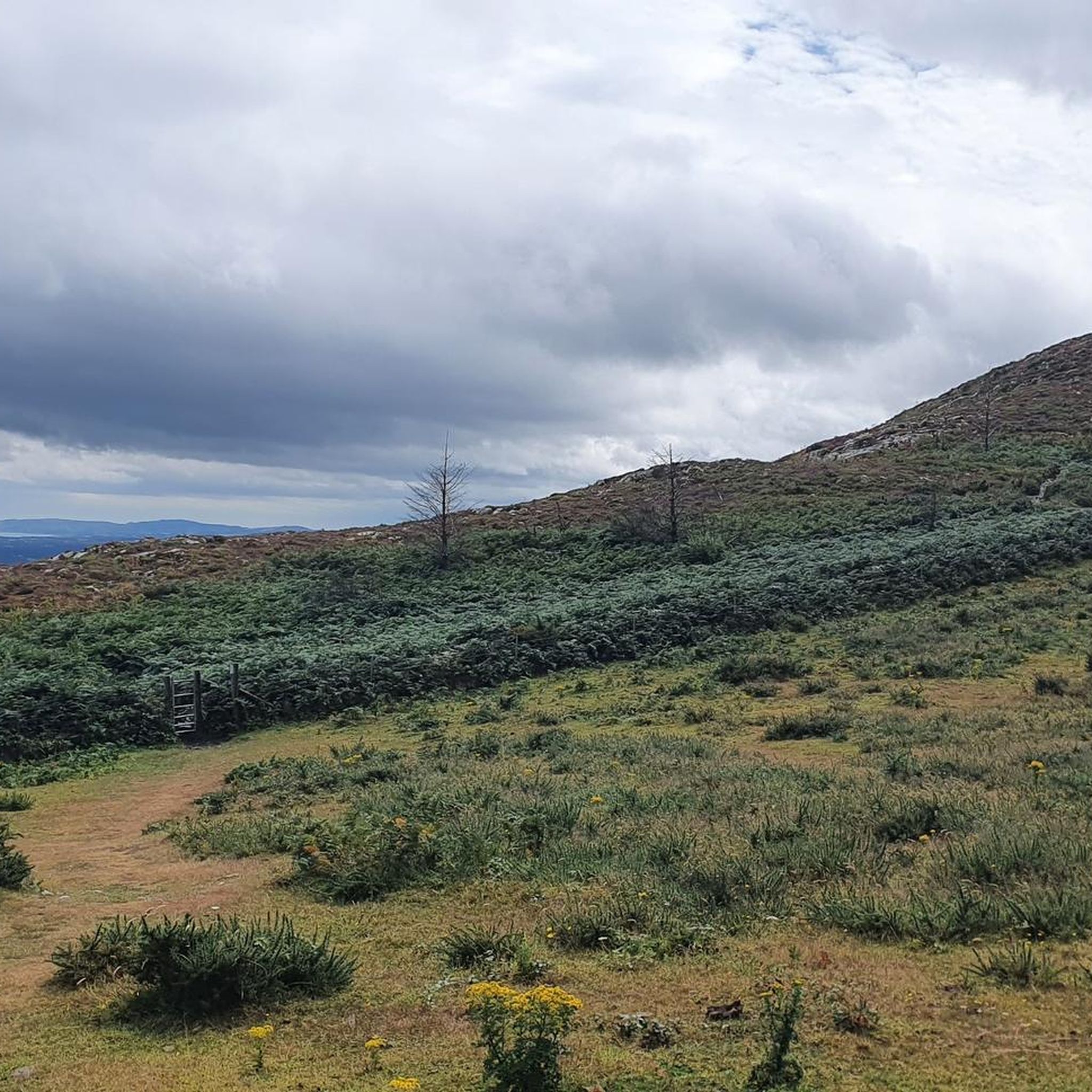
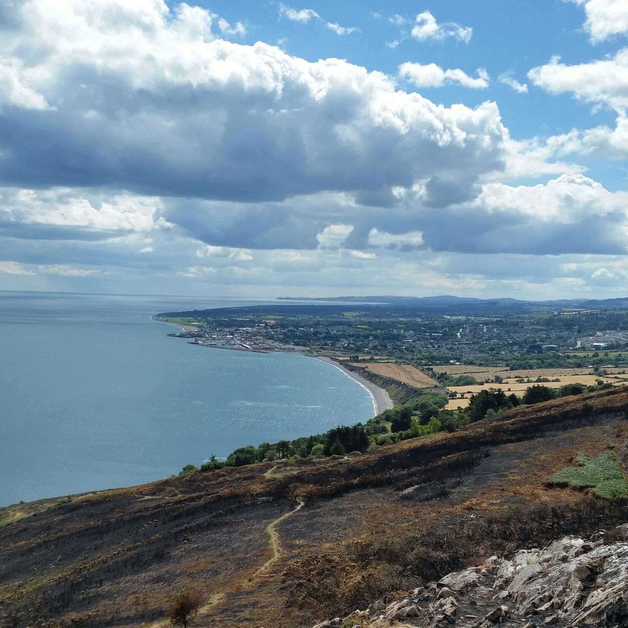
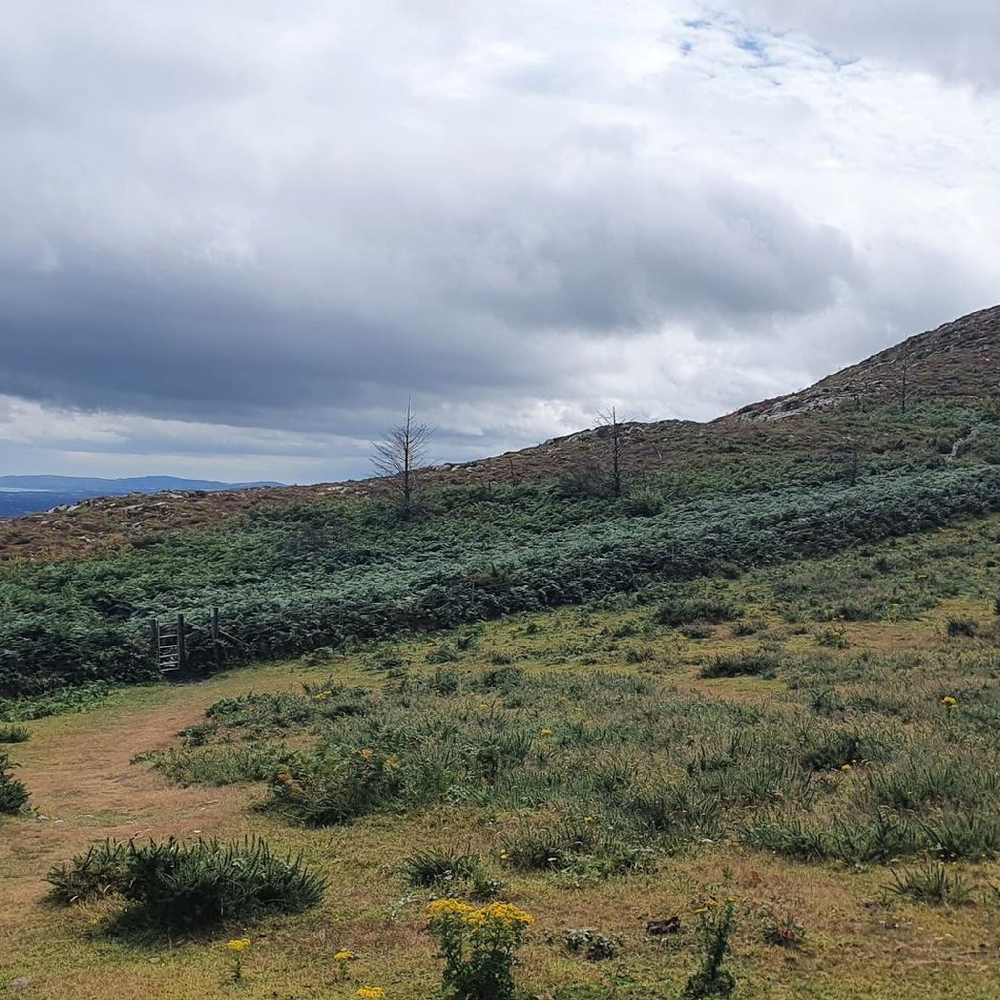
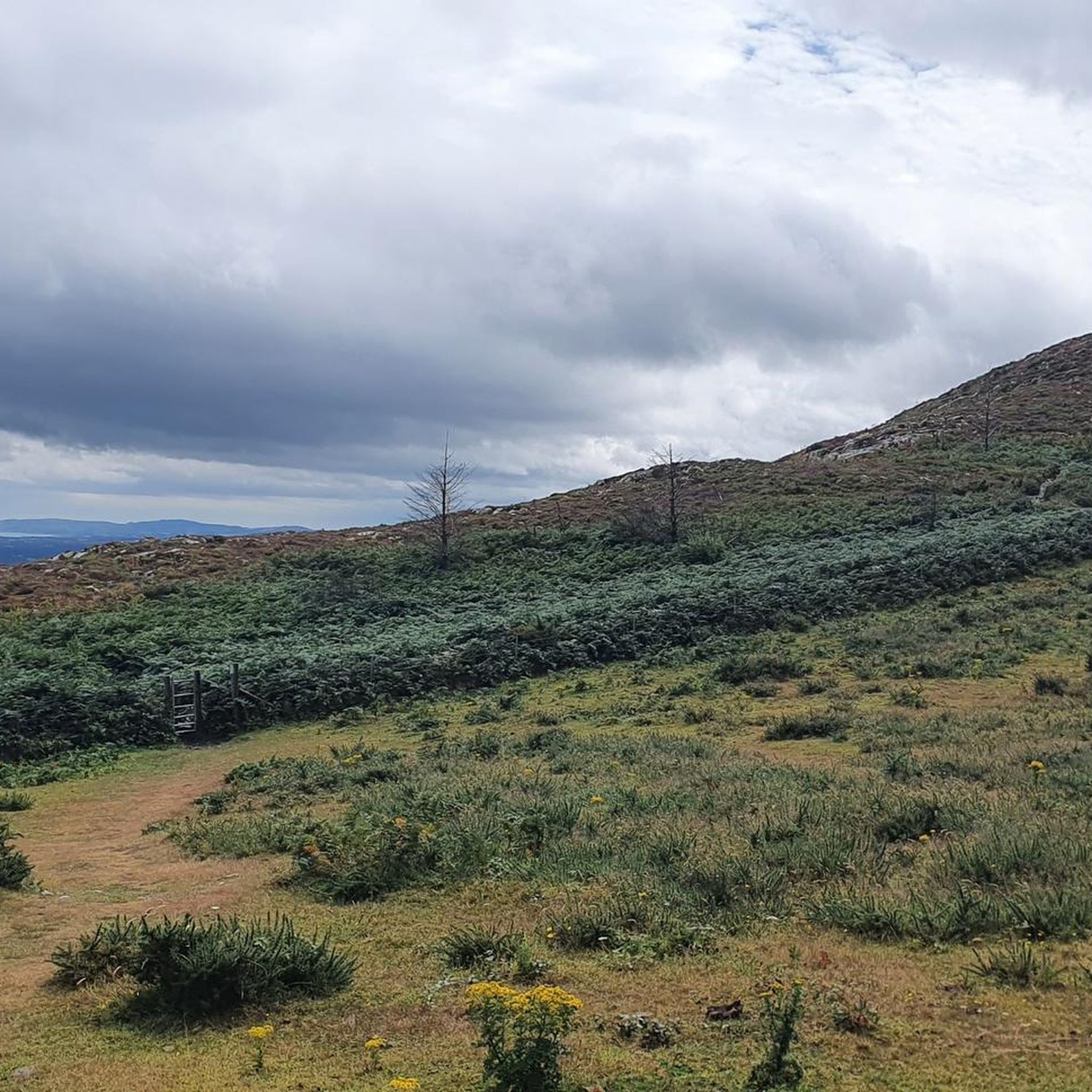
Tips from the Community

Built between 1117 and 1184 by the Normans on an earlier Irish Castle. the castle was destroyed in the 16th century and the current ruin is that of a more modern building.
0
0

Sally Gap, one of the highest and most open crossroads in the Wicklow Mountains. Here, the R759 and the Old Military Road (R115) intersect at over 500 meters altitude, in the middle of a vast moorland and heath landscape without buildings or shelter. The panorama is a full 360°: the dark bogs of Liffey Head Bog, the flanks of Kippure, the valleys towards Glencree, and the long, empty Military Road that runs like a pencil line through the highlands. This location is world-famous as a backdrop for films and series such as Braveheart, Vikings, and P.S. I Love You.
8
0
You are here on one of the most characteristic sections of the Old Military Road, built between 1800 and 1809 by the British Army to control the Wicklow Mountains after the 1798 Rebellion. This section of the L1013 runs across an open high plateau with wide, rugged views towards Glencree, Kippure and the northern Wicklow Mountains.
6
0
For the cyclist, this is the main attraction. The café is located in the old armoury and is known for its hearty soups, homemade cakes, and good coffee. You could almost call it a cycling café.
7
0
In the heart of the rugged Wicklow Mountains lies the Deutscher Soldatenfriedhof, a place of deep peace and reflection. Here rest 134 people, mainly German military personnel (mostly pilots and naval staff) who died in or near Ireland during the First and Second World Wars, as well as a number of civilian internees. The symmetrical rows of crosses, the low granite, and the open grassy expanse create a subdued atmosphere that strongly contrasts with the rugged Wicklow landscape surrounding it.
7
0


A very pleasant climb up to the military road with views of Glencree valley, Gradient not too steep and relatively free of motorists even on the weekends.
0
0
Frequently Asked Questions
What types of road cycling routes can I find around The Municipal District of Greystones?
The Municipal District of Greystones offers a diverse range of road cycling routes, from scenic coastal paths along the Irish Sea to challenging ascents into the Wicklow Mountains. You'll find a mix of climbs and descents through areas like Kilcoole, Newcastle, and Newtownmountkennedy, catering to various fitness levels.
How many road cycling routes are available in The Municipal District of Greystones?
There are over 80 road cycling routes available around The Municipal District of Greystones, with options ranging from easy spins to difficult mountain challenges. This extensive network ensures there's something for every road cyclist.
Are there any family-friendly road cycling routes in the Greystones area?
Yes, Greystones offers routes suitable for families. While specific paved family-friendly routes for road bikes aren't detailed in the data, the region's diverse terrain includes less challenging sections. For example, the 14km Delgany Loop, mentioned in regional research, takes cyclists through Delgany village and along cycle paths leading to Greystones' South Beach, offering scenic views that could be suitable for families. Always check route details for elevation and traffic before heading out with children.
What are the difficulty levels of road cycling routes in Greystones?
Road cycling routes in Greystones range from easy to difficult. You'll find 14 easy routes, 50 moderate routes, and 23 difficult routes. For instance, the Glendalough Grocery – Sally Gap loop from Greystones is a difficult route with significant elevation, while Greystones – Ashford Studios Outdoor Set loop from Greystones offers a moderate challenge.
What kind of elevation gain can I expect on road cycling routes in the region?
Elevation gains vary significantly depending on the route. Coastal routes will have less, while those extending into the Wicklow Mountains feature substantial climbs. For example, the difficult Glendalough Grocery – Sally Gap loop from Greystones involves over 2,100 meters of ascent, offering a significant challenge for experienced riders.
What attractions or landmarks can I see along road cycling routes near Greystones?
Many routes offer views of the magnificent coastline and pass by notable landmarks. You might encounter the Greystones Beach, the Cable Rock Viewpoint and Éire 8 Stone Sign, or the scenic Glen of the Downs. Routes extending into the Wicklow Mountains also offer rugged natural beauty.
Are there any circular road cycling routes starting from Greystones?
Yes, many road cycling routes in the area are designed as loops, allowing you to start and finish in the same location. Examples include the Greystones – Ashford Studios Outdoor Set loop from Greystones and the challenging Glendalough Grocery – Sally Gap loop from Greystones.
What do other road cyclists say about the routes in The Municipal District of Greystones?
The road cycling routes in The Municipal District of Greystones are highly rated by the komoot community, with an average score of 4.1 stars from over 10 reviews. Cyclists often praise the varied terrain, from coastal paths to mountain ascents, and the scenic beauty of the Wicklow region.
Is the Bray to Greystones Cliff Walk suitable for road bikes?
The famous Bray to Greystones Cliff Walk is primarily a walking trail and features sections that are not suitable for road bikes, including a scramble section. While it offers breathtaking views, it's best enjoyed on foot or by choosing dedicated cycling routes in the area.
Are there any specific regulations or permits required for road cycling in Greystones?
Generally, no specific permits are required for road cycling on public roads in The Municipal District of Greystones or the wider Wicklow area. However, always adhere to standard road safety regulations and respect local signage, especially when cycling through villages or protected natural areas.
What is the best time of year for road cycling in Greystones?
The spring and summer months (April to September) generally offer the most favorable weather conditions for road cycling in Greystones, with milder temperatures and longer daylight hours. However, the region's beauty can be enjoyed year-round, with autumn offering vibrant foliage and winter providing a quieter, more challenging experience for hardy cyclists.
Are there any road cycling routes that pass by the Wicklow Mountains?
Absolutely. Many challenging routes from Greystones extend into the Wicklow Mountains, offering significant elevation gains and rugged beauty. The Glendalough Grocery – Sally Gap loop from Greystones is a prime example, taking you deep into the heart of the mountains.
Most popular routes around The Municipal District of Greystones
Most popular attractions around The Municipal District of Greystones

Get inspired with the komoot mobile app


Explore more
Browse the best Road cycling routes in other regions.
