The best walks and hikes around gmina Międzylesie
4.7
(1302)
24,416
hikers
39
hikes
Hiking around gmina Międzylesie offers diverse landscapes in southeastern Poland, characterized by significant mountain ranges like the Masyw Śnieżnika and Góry Bystrzyckie. The region features extensive forests, picturesque valleys, and peaks such as Śnieżnik (1,425 m) and Trójmorski Wierch (1,145 m). Its location near the Czech Republic border also provides unique international hiking experiences.
Best hiking trails around gmina Międzylesie
- The most popular hiking route is Czech-Polish Border – Puchacza Pass loop from Kamienny Garb, a 6.8 miles (11.0 km) trail that takes 3 hours 21 minutes to complete, offering views along the border.
- Another top favourite among local hikers is Czech-Polish Border – Puchacza Pass loop from Jodłów, a difficult 11.4 miles (18.4 km) path that explores the mountainous terrain near the border.
- Local hikers also love the Ruins of Szczerba Castle – Solna Cave loop from Szczerba, a 10.2 miles (16.4 km) trail leading through forested areas and past historical ruins, often completed in about 4 hours 58 minutes.
- Hiking around gmina Międzylesie is defined by mountain massifs, dense forests, and border-crossing paths. The network offers options for various ability levels, from moderate forest walks to more challenging mountain ascents.
- The routes in gmina Międzylesie are highly rated by the komoot community with an average score of 4.7 stars from over 500 reviews. More than 10,000 hikers have used komoot to explore gmina Międzylesie's varied terrain.
Last updated: September 2, 2026
4.9
(14)
207
hikers
Hard hike. Very good fitness required. Easily-accessible paths. Suitable for all skill levels.
4.9
(17)
154
hikers
11.0km
03:22
370m
370m
Moderate hike. Good fitness required. Easily-accessible paths. Suitable for all skill levels.

Sign up for free
4.6
(11)
115
hikers
17.9km
05:43
760m
760m
Hard hike. Very good fitness required. Easily-accessible paths. Suitable for all skill levels.
4.3
(3)
71
hikers
Moderate hike. Good fitness required. Easily-accessible paths. Suitable for all skill levels.
4.5
(4)
71
hikers
16.2km
04:55
550m
550m
Moderate hike. Good fitness required. Easily-accessible paths. Suitable for all skill levels.
Get access to more routes and recommendations from other explorers.
Sign up for free
Already have an account?
Our route recommendations are based on thousands of hikes, rides, and runs completed by other people on komoot.
Start today with a free account
Your next adventure awaits.
Login or Signup
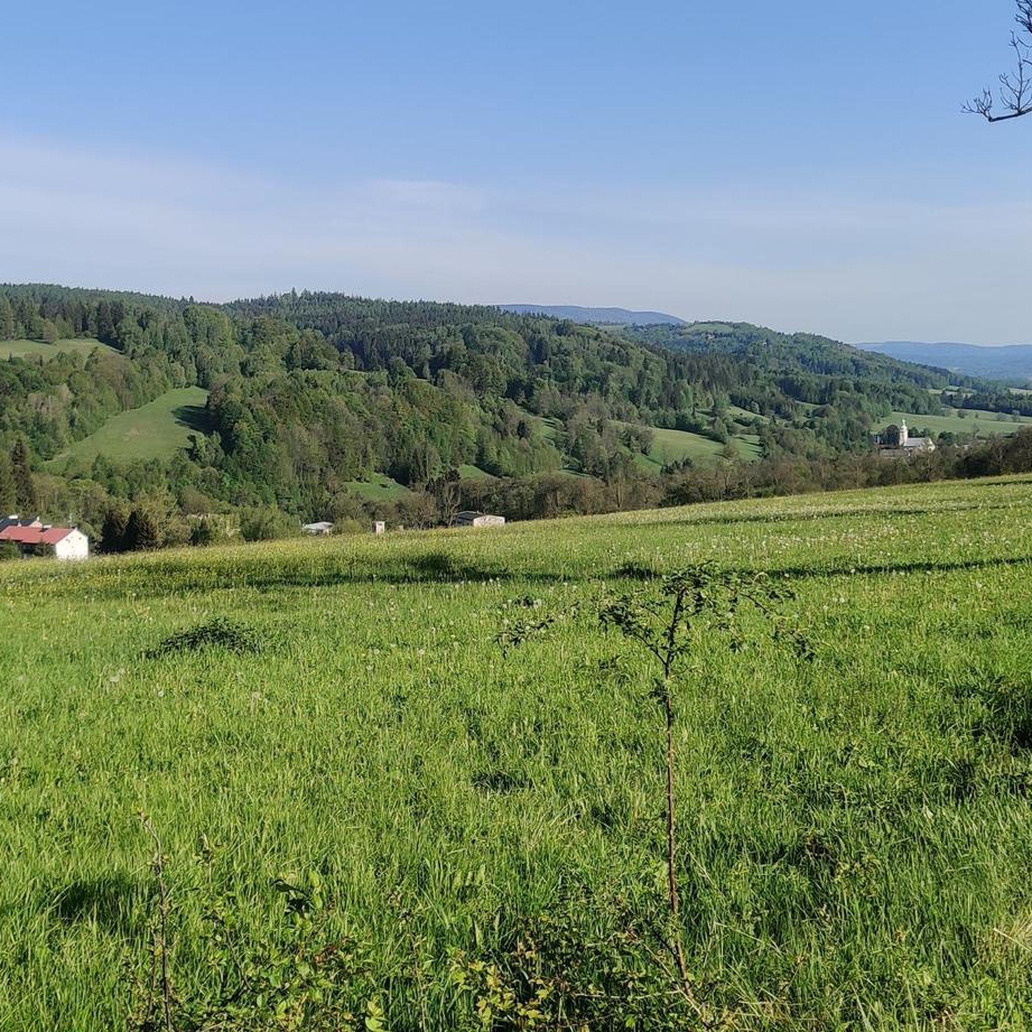
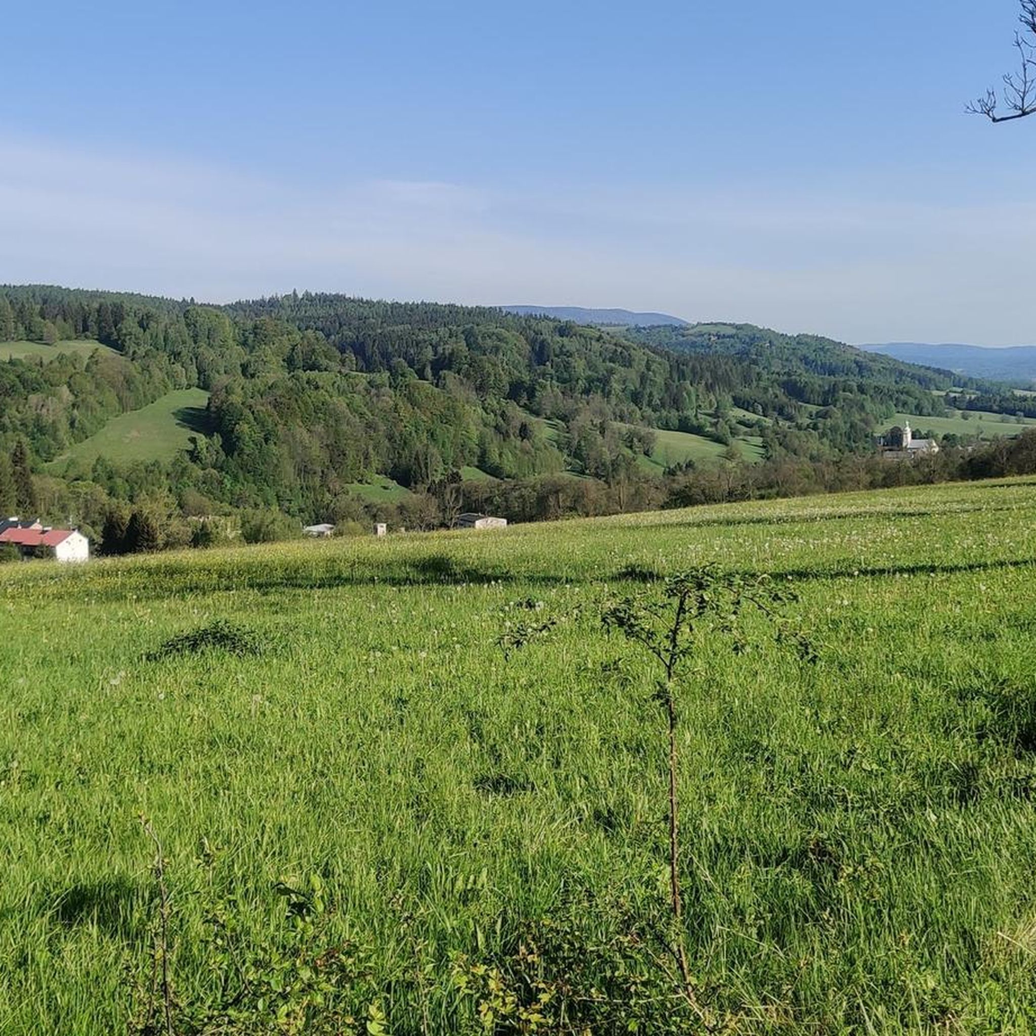
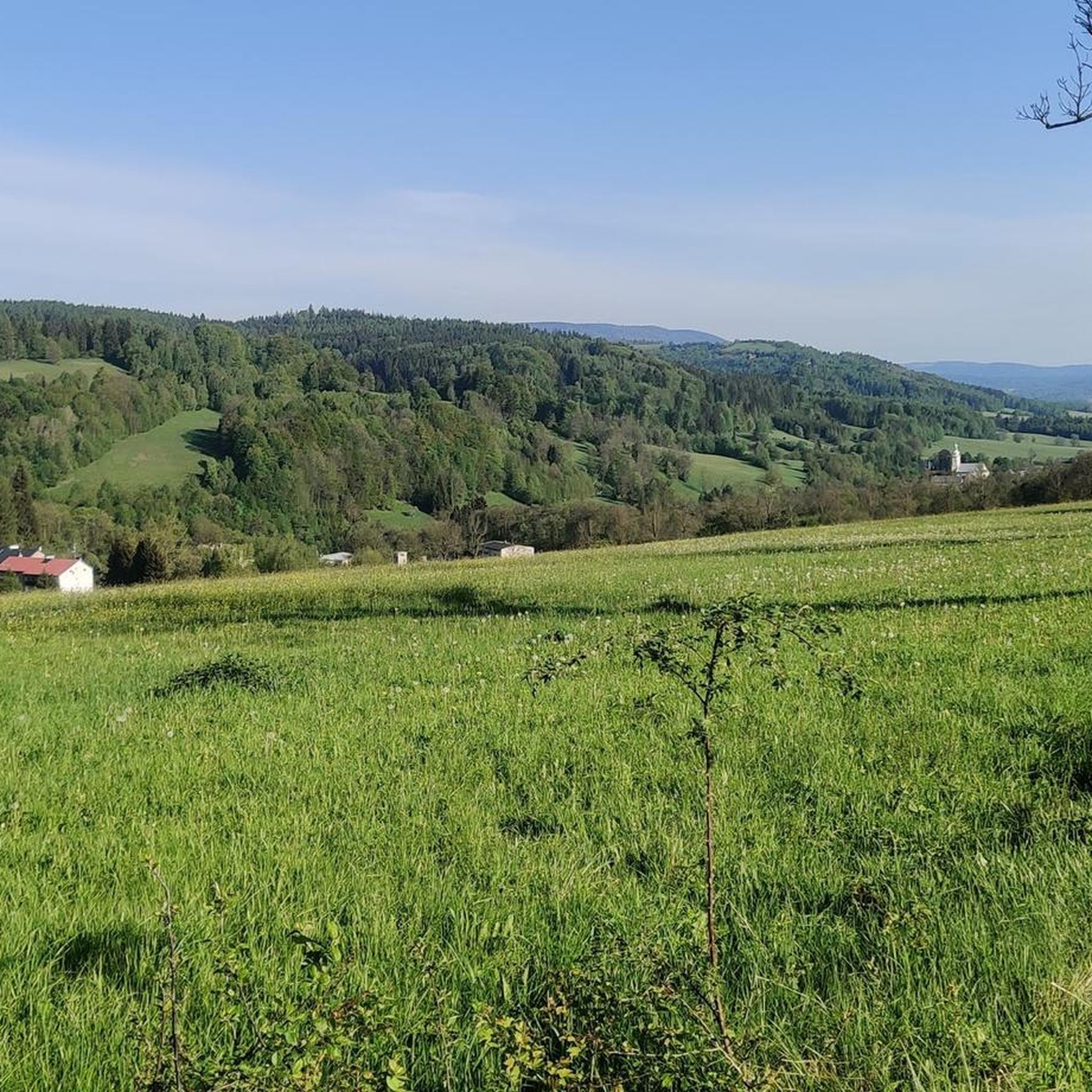
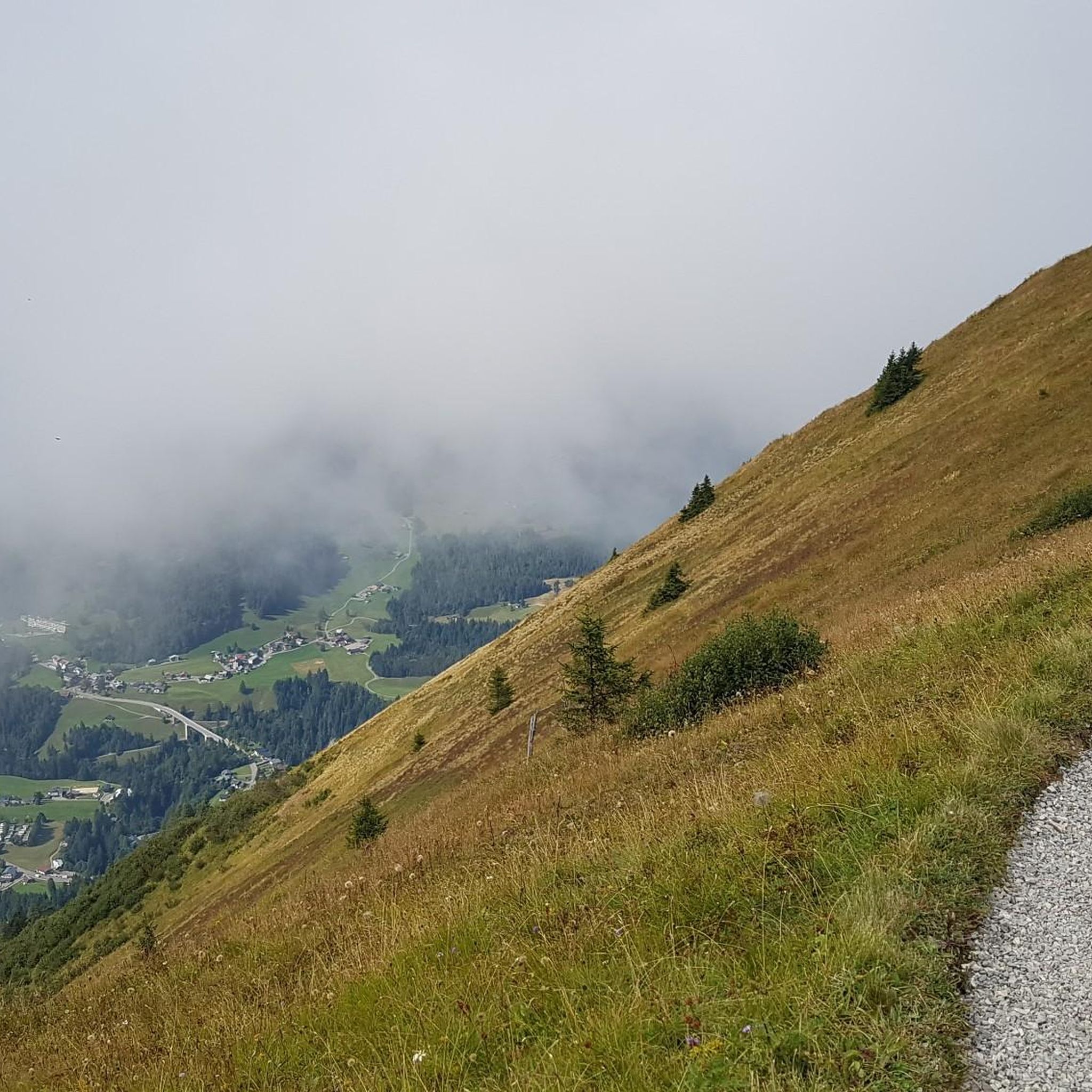
Tips from the Community

The first mention of the development of Śnieżnik Mountain dates back to 1809, when the owner of Międzygórze, Count Wilhelm von Magnis, built barns and shepherd's huts on the mountain pasture below Śnieżnik. In 1838, Międzygórze was purchased by Princess Marianna of Orange, the Lady of Kamieniec Ząbkowicki – daughter of the King of the Netherlands and wife of a Prussian prince. In 1840, she invited her father, King Wilhelm, with whom she reached the summit of Śnieżnik on July 20th. In 1869, the Duchess took over the land on the mountain pasture below Śnieżnik. She commissioned a highlander from Switzerland to build a Swiss mountain hut (Schweizerei am Schneeberg or Schweizerei auf dem Schneeberg) on the mountain pasture below Śnieżnik, which now forms the main part of the mountain hut. Construction was completed in 1871. The building initially served as a tourist inn, with 50 beds and a large dining hall. In the following years, the buildings were modernized several times. In 1872, utility rooms were built on the site of an old dairy farm. In 1880, a meteorological station was opened at the inn. In the 1930s, the inn had 30 beds. After World War II, the building stood empty until 1946. The dilapidated buildings were taken over by "Orbis," renaming it "Szwajcarka." In 1947, the Polish Tatra Mountain Shelter Board took over. The following summer, a shelter was opened, named "Na Śnieżniku" to distinguish it from the "Szwajcarka" shelter in Rudawy Janowickie. In 1950, the building became the property of the Polish Tourist and Sightseeing Society. At that time, the shelter had 63 beds. In the 1980s, the shelter was thoroughly modernized and renovated thanks to the efforts of its then-lessee, Zbigniew Fastnacht, who managed the facility from 1982 to 2001. After his death, in recognition of his achievements, the shelter was named after him.
1
1

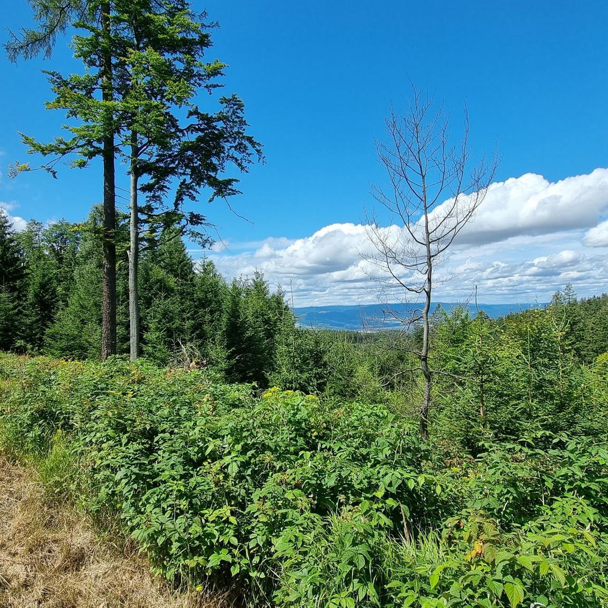
The climb is not easy, but the view makes up for it.
7
0
Far-sightedness guaranteed in good weather, only the dirt of the other visitors trickles down on your head🤭
7
0

🪨 Salt Cave (Salt Jama) Location: at the foot of the Czerniec Massif (891 m above sea level), in the Gołodolnik Stream valley, in an old quarry, near Długopole-Zdrój. Features: The only karst cave in the Bystrzyckie Mountains. Corridor length: approximately 30 m, entrance height approximately 2 m. It was formed in limestone as a result of karst processes. The interior consists of a short corridor with several branches. The name "Solna" comes from white dripstones resembling salt crystals. Interesting natural facts: The cave maintains a constant, cool temperature and high humidity. Hibernating bats can be found (including horseshoe bats and mouse-eared bats). The walls are covered in places with dripstones and a milky-white sediment resembling salt. Accessibility: The cave lies in an abandoned quarry. Entry is relatively easy, but caution is required (loose rocks, slippery ground). It is neither lit nor secured – a flashlight is required. The tour takes a few minutes due to its small size. Significance: Although Solna Jama is not a large cave, it is a unique geological attraction in the region and an interesting destination for a short trip in the Bystrzyckie Mountains, especially for lovers of karst and lesser-known corners of the Sudetes.
0
0

A pleasant resting shelter on the route from Trojmorski Wierch to Śnieżnik
0
0
A tall wooden tower. Beautiful views of the Czech side (the Polish side can also be seen without climbing the tower).
0
0
Śnieżnik is a mountain on the Polish-Czech border. Its wide summit offers views of both the Polish and Czech sides. It offers plenty of space. A mountain hut with full infrastructure is about 30 minutes from the summit.
0
0

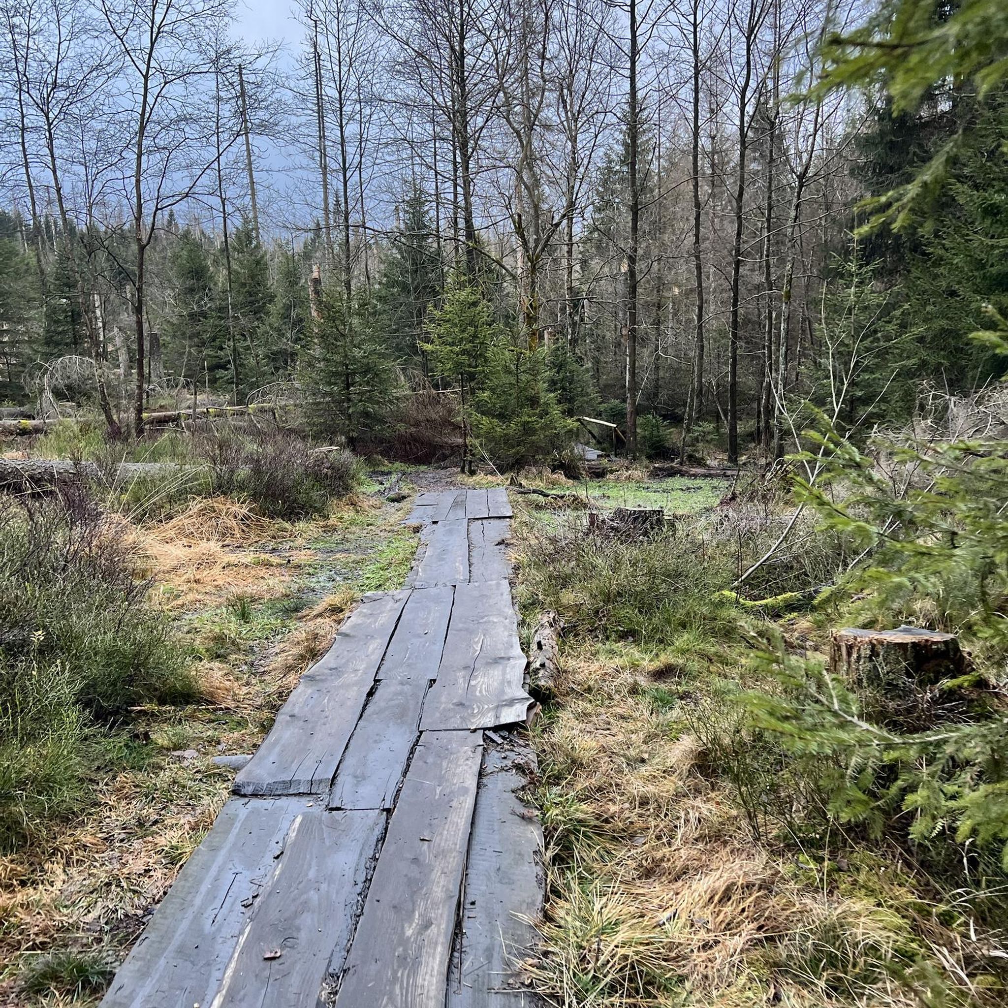
It's worth bringing good shoes, as the approach is sometimes steep and rocky. One section of the trail features a steep, rocky ascent, with a crevasse through the middle caused by a river that once flowed there.
0
0
Frequently Asked Questions
How many hiking trails are available in gmina Międzylesie?
There are over 20 hiking trails documented in gmina Międzylesie, offering a variety of experiences from moderate forest walks to more challenging mountain ascents.
What are the difficulty levels of hiking trails in gmina Międzylesie?
The trails in gmina Międzylesie cater to various skill levels. You'll find 4 easy routes, 15 moderate routes, and 3 difficult routes, ensuring options for both casual walkers and experienced hikers.
What do other hikers say about the trails in gmina Międzylesie?
The hiking routes in gmina Międzylesie are highly regarded by the komoot community, with an average rating of 4.7 stars from over 500 reviews. Hikers often praise the diverse landscapes, well-marked paths, and the unique experience of border-crossing trails.
Are there any waterfalls to see while hiking in gmina Międzylesie?
Yes, the region is home to the impressive Wilczka waterfall, located within the Śnieżnik massif. This 22-meter waterfall cascades into a cauldron and is a prominent natural monument with good viewing points.
What are some notable viewpoints or peaks in the gmina Międzylesie area?
Hikers can enjoy breathtaking views from several peaks and observation points. Králický Sněžník Summit and Śnieżnik Observation Tower offer extensive panoramas. Trójmorski Wierch (Three Seas Peak) at 1,145 m is another significant point, known for its observation tower and unique location where the watersheds of three seas meet.
Can I find historical sites along the hiking trails?
Yes, hiking in gmina Międzylesie offers opportunities to discover historical sites. The Ruins of Szczerba Castle – Solna Cave loop from Szczerba is one such route that leads past historical ruins. The region also features old ruins like Grodno Castle and World War II bunkers hidden within the forests.
Are there mountain huts or shelters available on the trails?
Yes, there are several mountain huts in the area providing places to rest and eat. The PTTK shelter "Na Śnieżniku" is a notable option, often included in routes to Śnieżnik. Other huts include PTTK Jagodna mountain hostel and Kramářova Chata and Observation Tower on Suchý Vrch.
Are there any family-friendly hiking options in gmina Międzylesie?
While many trails are moderate, there are 4 easy routes suitable for families or those looking for a gentler walk. These often traverse lush forests and picturesque valleys, providing a serene environment for nature exploration without significant elevation gains.
Are there circular hiking routes available in gmina Międzylesie?
Yes, many routes in the region are designed as loops. For example, the Czech-Polish Border – Puchacza Pass loop from Kamienny Garb is a popular circular trail offering views along the border. Another option is the Czech-Polish Border – Source of the Nysa Kłodzka loop from Kamienny Garb.
Can I hike with my dog in gmina Międzylesie?
Generally, dogs are welcome on most hiking trails in gmina Międzylesie, especially in the extensive forest areas. However, it's always recommended to keep them on a leash, particularly in nature reserves or areas with wildlife, and to check local regulations for specific trails or protected zones.
What is the best time of year for hiking in gmina Międzylesie?
The best time for hiking in gmina Międzylesie is typically from spring through autumn, when the weather is mild and the trails are clear. However, the higher elevations of the Masyw Śnieżnika can be snow-covered for more than half the year, offering unique winter hiking opportunities for those prepared for colder conditions.
Are there trails that cross the border into the Czech Republic?
Yes, due to its location, gmina Międzylesie offers unique international hiking experiences with many trails crossing into the Czech Republic. Routes like the Czech-Polish Border – Puchacza Pass loop from Jodłów are excellent examples of these cross-border adventures.
Most popular routes around gmina Międzylesie
Most popular attractions around gmina Międzylesie

Get inspired with the komoot mobile app


Explore more
Browse the best Hikes in other regions.
