The 20 Most Amazing Peaks around Burgwallbacher Forst
Best mountain peaks around Burgwallbacher Forst are found in a predominantly forested, unincorporated area within the Rhön-Grabfeld district of Bavaria, Germany. The highest elevation within Burgwallbacher Forst reaches 627 meters above sea level. The region features various elevated points and summits, locally known as "Gipfel," which are popular for outdoor activities. These areas offer immersion in nature, scenic forest trails, and expansive views from clearings or summits.
Best mountain peaks around Burgwallbacher Forst
- The most popular mountain peaks is Golgotha…
Last updated: July 7, 2026
Golgotha group (Three Crosses) on the Kreuzberg
Highlight • Monument
Translated by Google •
Tip by

Galgota Kreuze - Kreuzberg
Highlight • Viewpoint
Translated by Google •
Tip by

Sign up now to discover places like this
Get recommendations on the best single tracks, peaks, & plenty of other exciting outdoor places.
Sign up for free
Himmeldunkberg summit
Highlight • Summit
Translated by Google •
Tip by

Heidelstein summit
Highlight • Summit
Translated by Google •
Tip by

The steps up to Kreuzberg
Highlight • Trail
Translated by Google •
Tip by

Sign up for free to discover even more peaks around Burgwallbacher Forst.
Sign up for free
Already have an account?
Start today with a free account
Your next adventure awaits.
Login or Signup
Popular around Burgwallbacher Forst


Tips from the Community

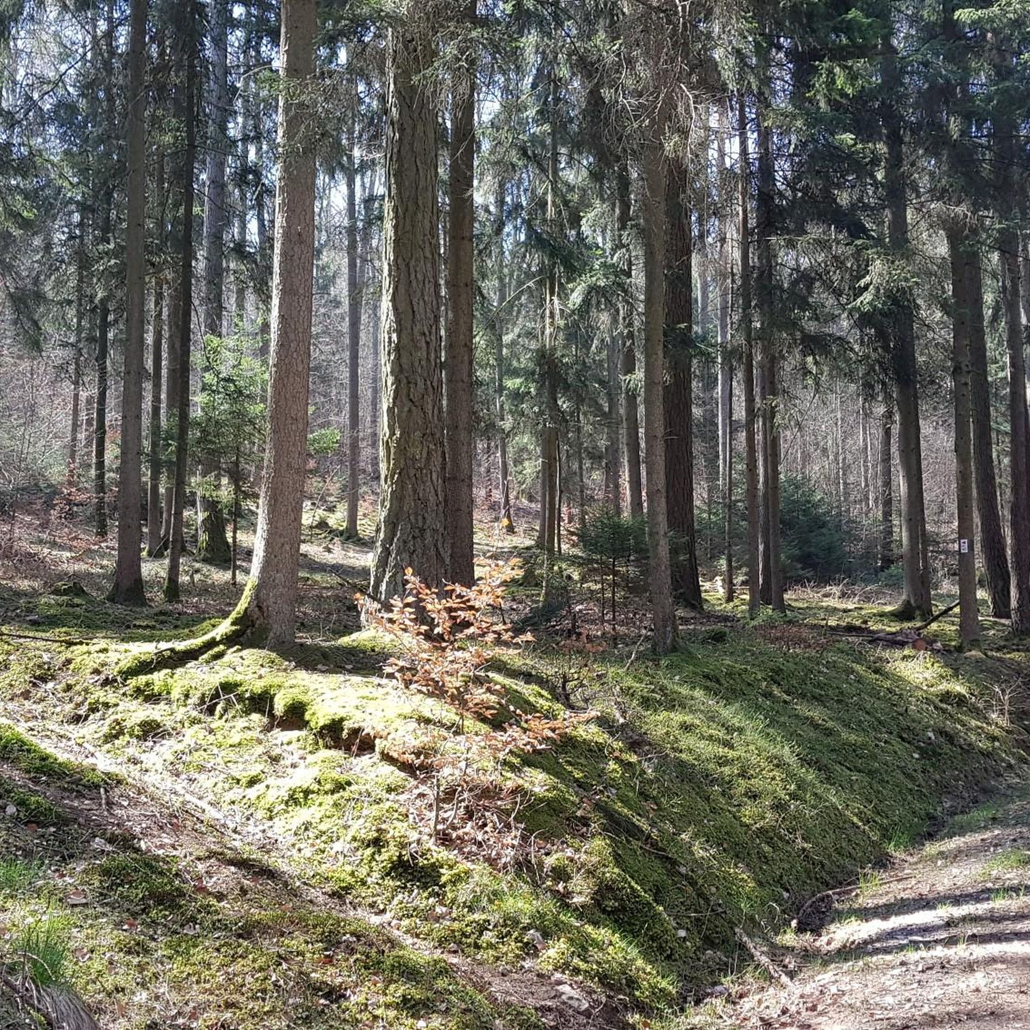
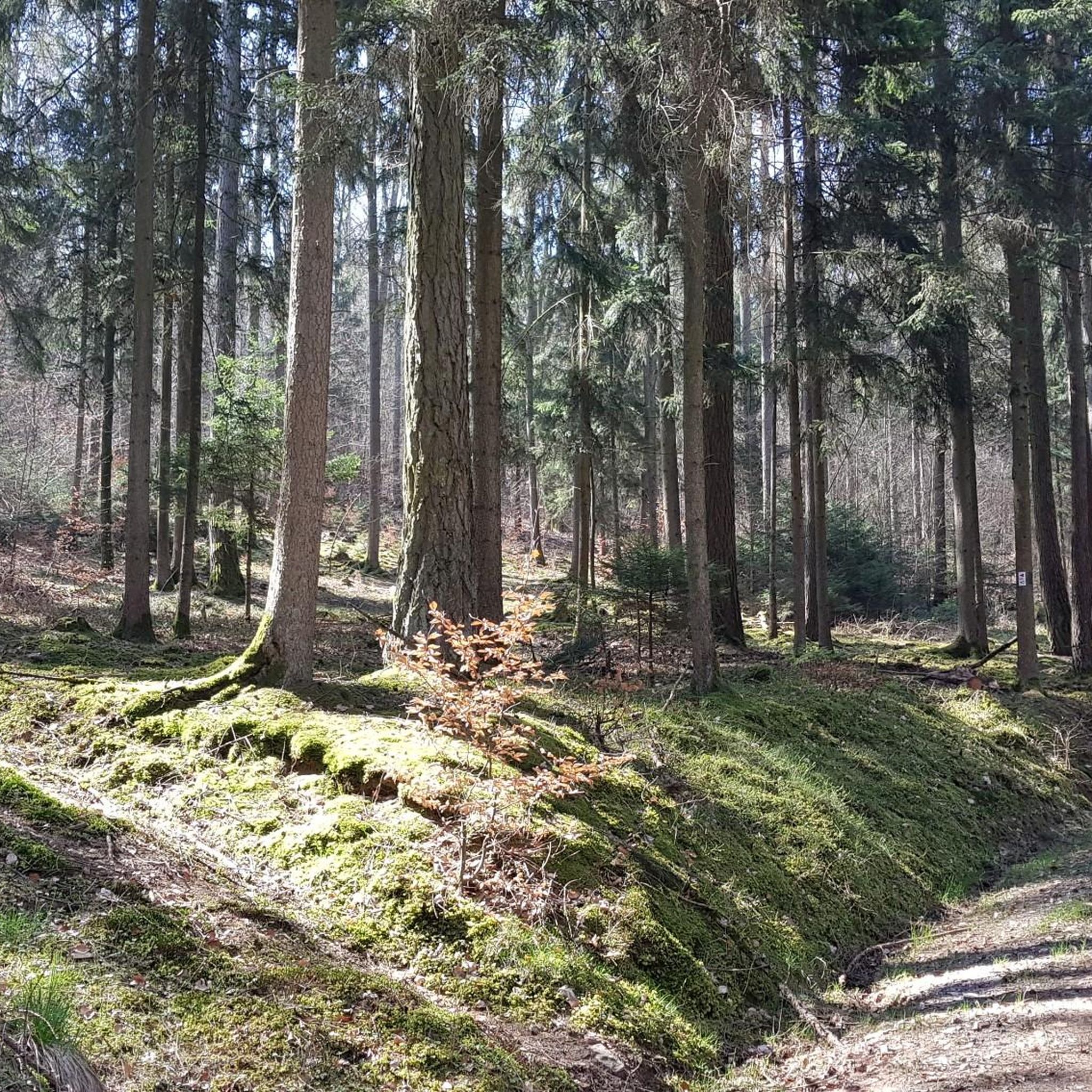
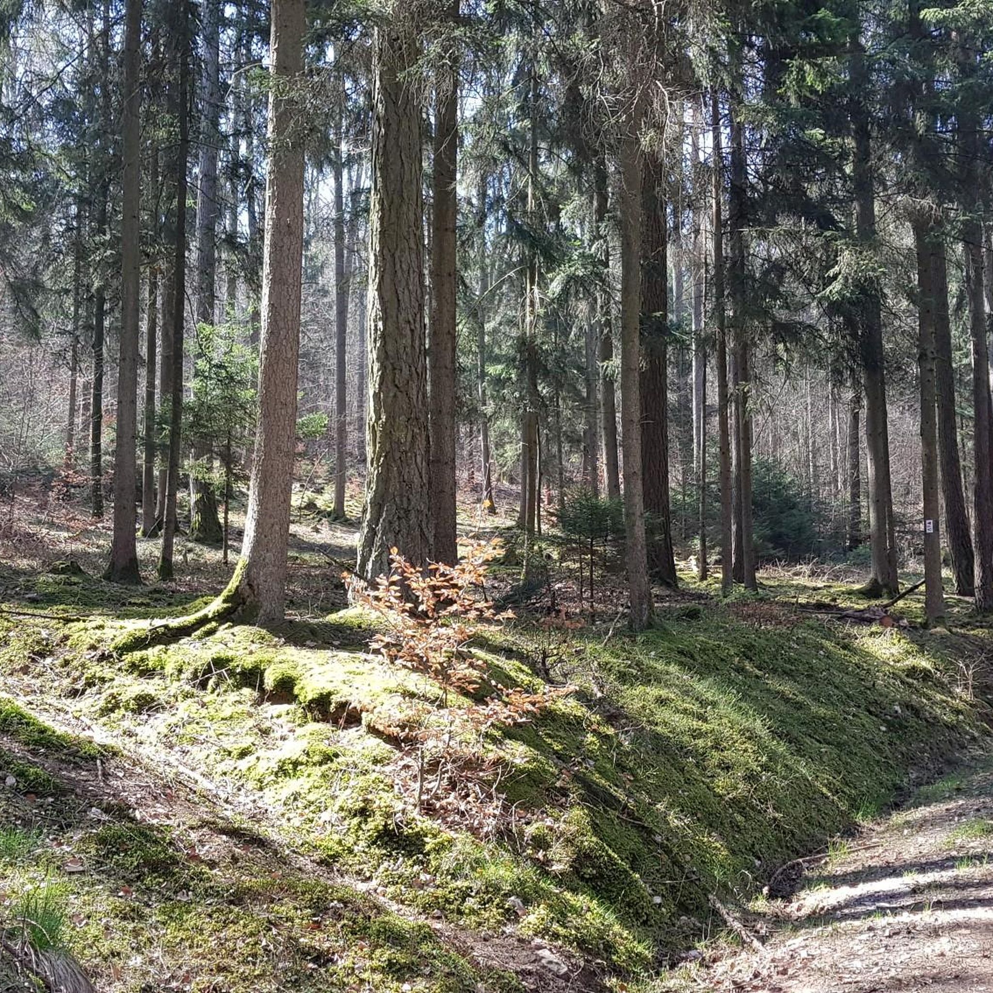
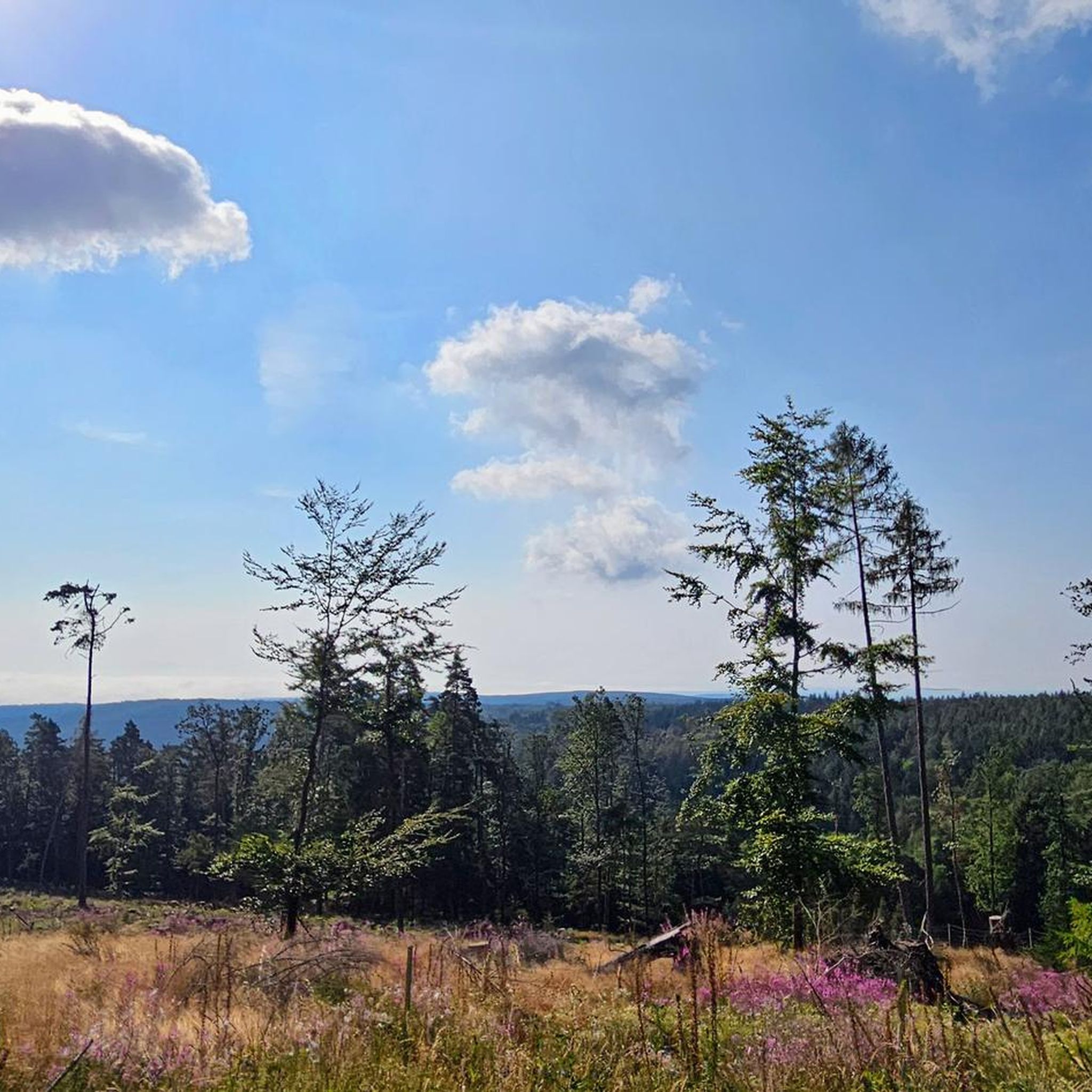
Here, on the fourth highest mountain in the Rhön, the Hessian-Bavarian border runs... from here, if the weather is good, you can see the Lange Rhön. At the summit, there is a German Telekom transmission tower that can be seen from far away.
12
0

Even the strongest hiker needs a break sometimes 😀
6
0

Recently, you can now also collect a stamp for the summit pass from the Bischofsheim Tourist Information Center at Himmeldunk (6 stamps must be collected within 10 days to receive a certificate).
15
0

An oversized summit cross that is quite impressive. From there I have a wonderful view over the Rhön. There is also a summit book where you can register. A really nice sunny spot to linger. One of the most beautiful hikes in the Rhön that I have ever done. It is worth it! I've been there several times now.
11
2

With a height of almost 888 meters, it not only offers impressive views, but also a home for rare and protected plants and animals. The Himmeldunkberg can be reached via three different hiking trails, with the route from the Schwedenschanze on the B 279 being the easiest. Alternatively, Oberweißenbrunn or Bischofsheim also offer good starting points with parking facilities. The hike through the varied mixed forests of the Himmeldunkberg is an experience in itself. The forests offer pleasant shade, especially on hot days. The Schwarzbach, which babbles over basalt blocks and becomes a small waterfall at the Teufelsmühle, adds a calming element to the hike. Information boards provide information about local legends and stories. Once at the summit, a beautiful panorama awaits hikers. From here you have a wonderful view over Bischofsheim and the picturesque Brendtal, the Gleichberge, the Oberes Sinntal and as far as the Schachen in the distance. Although the Himmeldunkberg is relatively unfrequented, you will find a community of nature lovers here - from hikers and mountain bikers to model airplane pilots. It is important to use the marked paths out of respect for nature and local regulations. The path to the Himmeldunkberg is not overly demanding, apart from the "Hohe Hölle", a steep and strenuous climb. This means that the hike is also suitable for older children. It is advisable to take enough water and provisions with you, as there are no places to stop for refreshments on the mountain itself, apart from the Würzburger Bergbund hut, which is only open on weekends. The hike can also be easily combined with a detour to the Basaltsee or a tour through the Rote Moor.
7
0
Regardless of wind and weather, the group sits enthroned on the highest mountain in Franconia
18
0
Impressive Stations of the Cross… nothing out of the ordinary
15
1
Newly erected summit cross on the Himmeldunk. At the cross there are rest benches and a list of donors who made the construction possible.
24
0
Frequently Asked Questions
What are the most popular mountain peaks and viewpoints around Burgwallbacher Forst?
Visitors frequently enjoy the Golgotha group (Three Crosses) on the Kreuzberg, known for its significant historical and religious context as well as panoramic views. Another highly rated spot is the Himmeldunkberg summit, offering wide, unwooded vistas and a newly erected summit cross. The Heidelstein summit is also very popular, providing breathtaking views over the Lange Rhön and marking the border between Bavaria and Hesse.
Are there family-friendly mountain peaks or activities in Burgwallbacher Forst?
Yes, several spots are suitable for families. The Golgotha group (Three Crosses) on the Kreuzberg is listed as family-friendly, offering a mix of history and scenic views. Additionally, the Osterburg castle ruins provide an engaging historical site with magnificent views, and there are tables and benches available for snacks, making it a great family outing.
What kind of natural features can I expect to see on the peaks around Burgwallbacher Forst?
The region is predominantly forested, so you'll experience immersion in nature with scenic forest trails leading to elevated points. From the summits and clearings, you can expect expansive views over the surrounding Rhön landscape. Highlights like Himmeldunkberg summit and Heidelstein summit are natural monuments offering wide, open vistas.
Are there historical sites or landmarks on the mountain peaks?
Absolutely. The Golgotha group (Three Crosses) on the Kreuzberg is a significant man-made monument and religious site, representing the 12th station of a Way of the Cross. The Osterburg castle ruins are another notable historical site, once a regional administrative center and border fortress, offering a glimpse into medieval history.
What outdoor activities can I do near the mountain peaks of Burgwallbacher Forst?
Beyond hiking to the peaks, the area offers a variety of outdoor activities. You can explore numerous mountain biking trails, with options ranging from easy to difficult. There are also dedicated cycling routes and road cycling paths available. For more details on specific routes, you can check out the komoot guides for MTB Trails around Burgwallbacher Forst, Cycling around Burgwallbacher Forst, and Road Cycling Routes around Burgwallbacher Forst.
What are the best viewpoints for panoramic scenery in the area?
For expansive views, the Himmeldunkberg summit provides a wide, unwooded panorama. The Heidelstein summit offers breathtaking views over the Lange Rhön, where you can spot landmarks like Kreuzberg and Wasserkuppe on clear days. The Panoramic View from Simmelsberg is also highly recommended for its excellent vistas and comfortable resting spots.
Are there any less crowded trails or peaks for a quieter experience?
While specific 'less crowded' trails aren't explicitly highlighted, the region's numerous elevated points and summits, especially those not listed as the absolute 'most popular,' often provide a more serene experience. Exploring the extensive network of komoot trails around Burgwallbacher Forst will allow you to discover quieter paths and enjoy the natural environment away from the main tourist spots.
What do visitors enjoy most about the mountain peaks around Burgwallbacher Forst?
Visitors particularly appreciate the stunning panoramic views from various summits, the immersion in nature provided by the heavily forested trails, and the combination of natural beauty with historical significance. Many enjoy the well-maintained paths and the opportunities for rest and reflection at viewpoints like the Panoramic View from Simmelsberg, often bringing snacks to fully enjoy the experience.
Can I find easy mountain hikes suitable for beginners near Burgwallbacher Forst?
Yes, the komoot platform lists numerous trails in the vicinity, ranging from easy to difficult. While some peaks involve intermediate ascents, many routes are designed to be accessible. Look for trails with lower elevation gains and shorter distances on komoot to find options suitable for beginners or those seeking a more relaxed hike.
Is there a specific time of year that is best for visiting the mountain peaks?
The heavily forested nature of Burgwallbacher Forst makes it appealing throughout the warmer months, from spring to autumn, when the trails are clear and the foliage is vibrant. Autumn offers particularly beautiful colors. While winter hiking is possible, be prepared for snow and ice, and check local conditions as some trails might be more challenging.
Are there any unique features or experiences on the peaks?
Yes, the Himmeldunkberg summit offers a unique experience where you can collect a stamp for a summit pass from the Bischofsheim Tourist Information Center. The Heidelstein summit is notable for having the border between Bavaria and Hesse run directly over it, offering a geographical point of interest alongside its views.
How accessible are the mountain peaks for different fitness levels?
The region caters to various fitness levels. Komoot routes leading to the summits range from easy to intermediate difficulty. While some peaks require a moderate ascent, many trails are well-maintained and offer a rewarding experience without extreme challenges. Always check the specific trail details on komoot for elevation gain and distance to match your fitness level.
Most popular routes around Burgwallbacher Forst
Most popular attractions around Burgwallbacher Forst

Get inspired with the komoot mobile app


Explore more
See even more amazing summits around Burgwallbacher Forst with these guides:
