The best mountain hikes around Burgwallbacher Forst
3.0
(3)
14
hikers
4
hikes
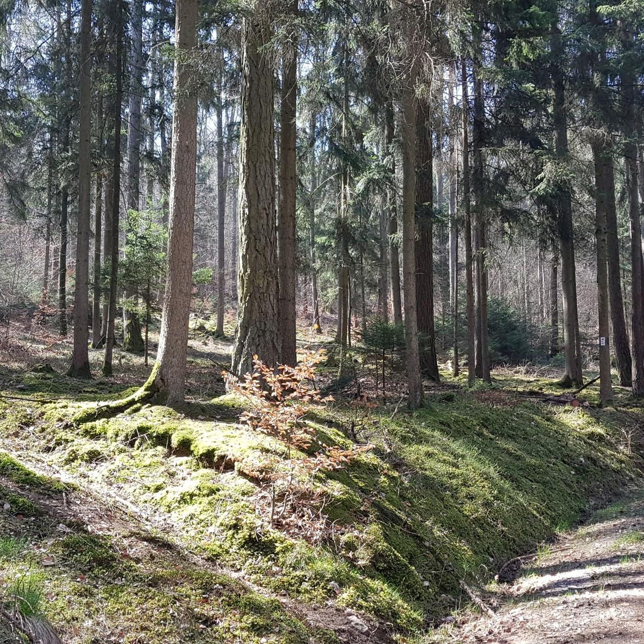
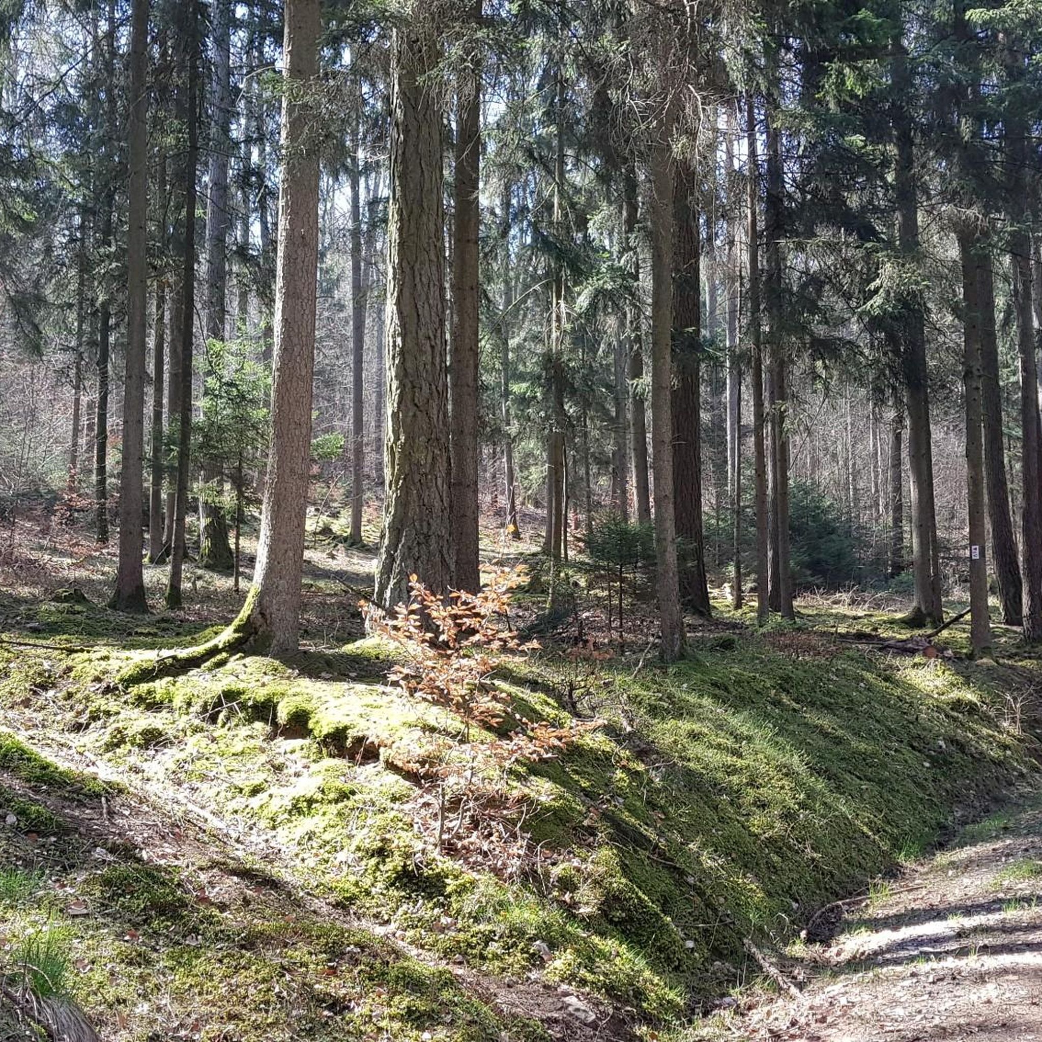
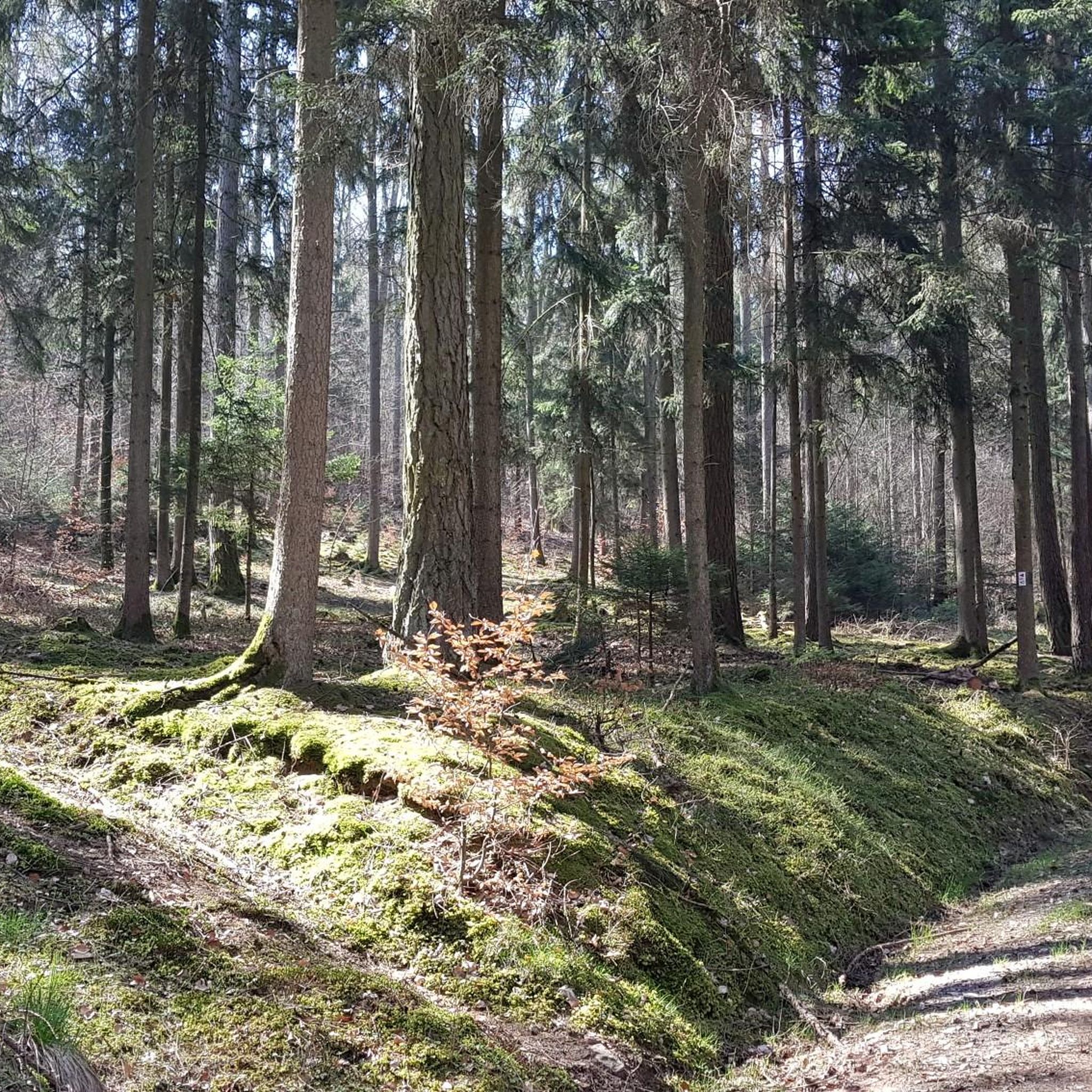
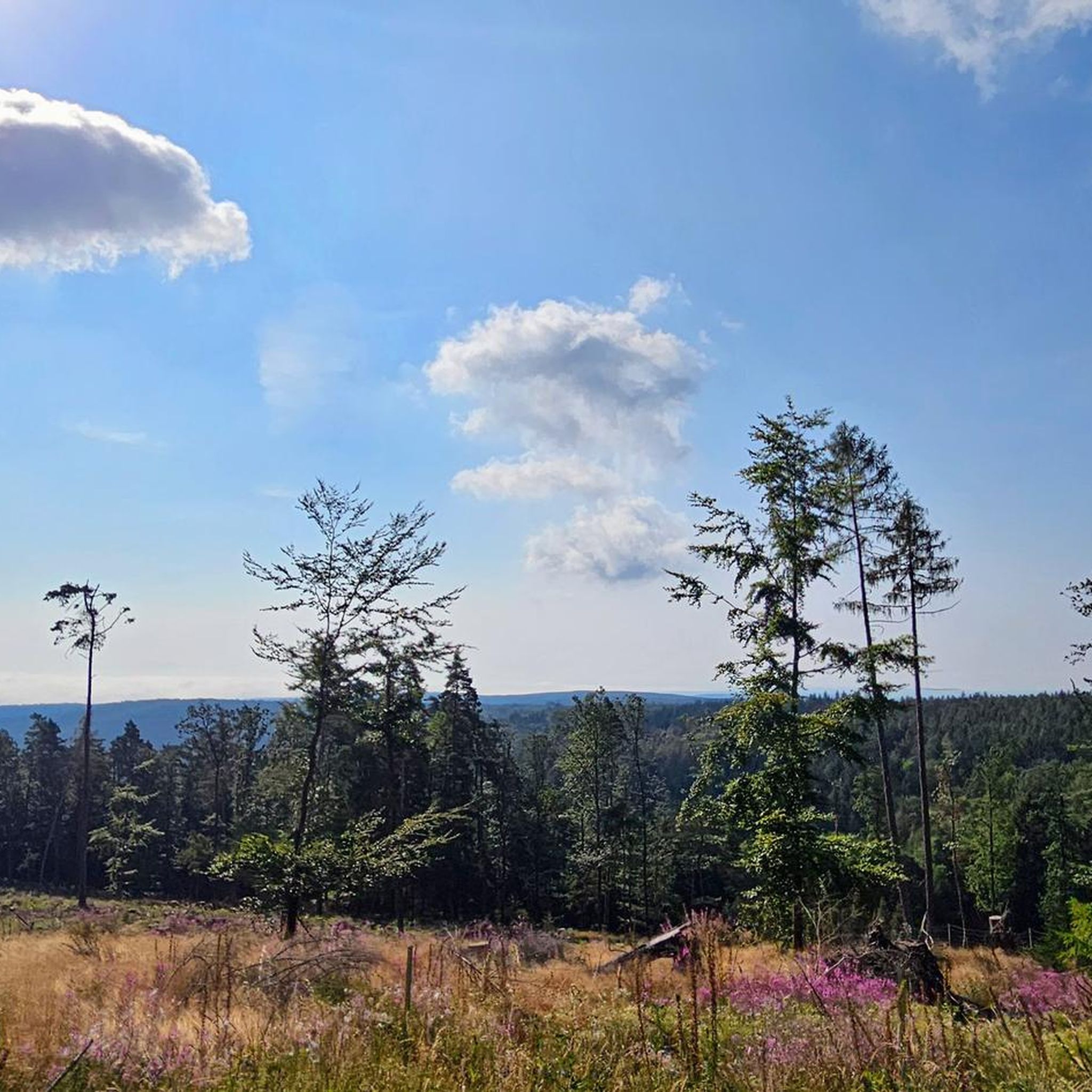
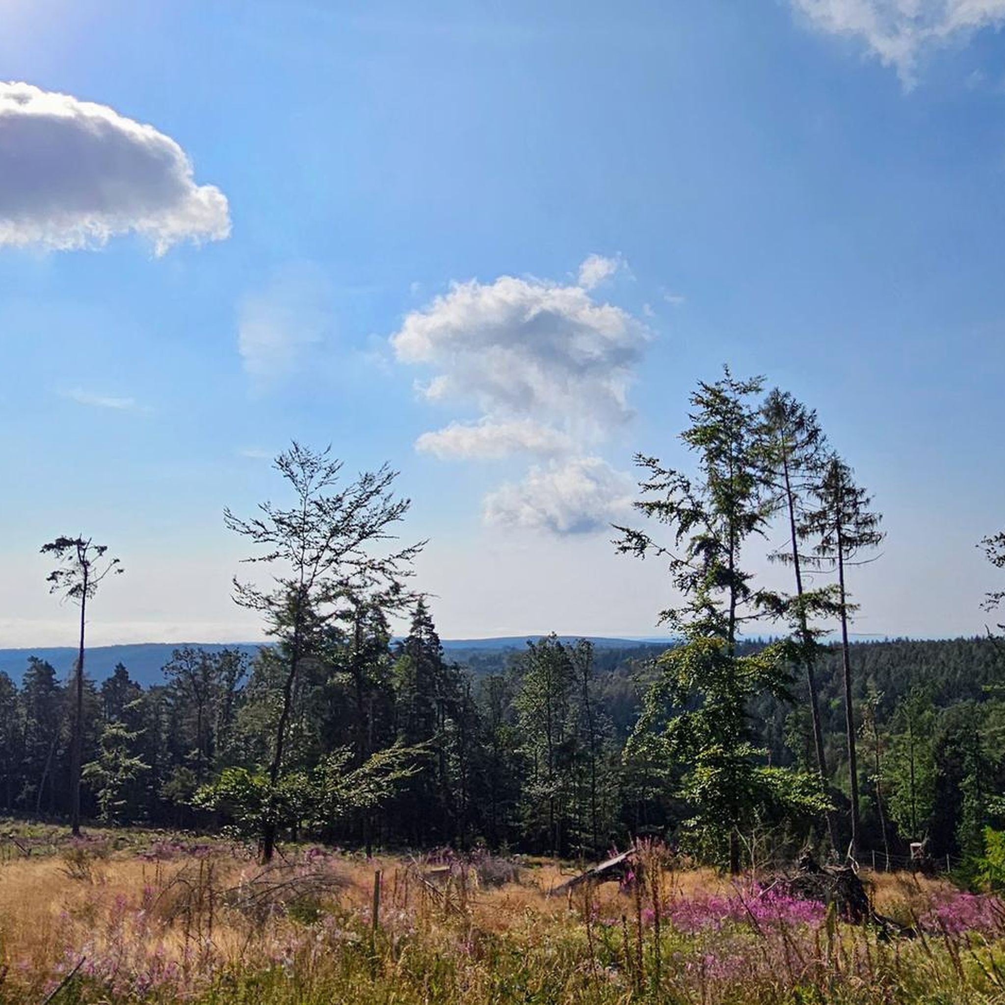
Mountaineering around Burgwallbacher Forst features a landscape characterized by rolling hills, dense woodlands, and open moorland, offering varied terrain for exploration. The region includes notable summits like Kreuzberg, providing elevated viewpoints. Gorges and historical castle ruins also form part of the natural and cultural tapestry.
Best mountaineering routes around Burgwallbacher Forst
- The most popular mountaineering route is Marienbrünnlein – Kreuzberg Summit loop from Unterweißenbrunn, a 8.5 miles (13.6 km) trail that takes 4 hours 11 minutes to complete. This…
Last updated: July 2, 2026
5.0
(2)
6
hikers
13.6km
04:12
490m
490m
Moderate mountaineering route. Good fitness required. Easily-accessible paths. Suitable for all skill levels.
3
hikers
7.31km
02:05
170m
170m
Moderate mountaineering route. Good fitness required. Easily-accessible paths. Suitable for all skill levels.

Sign up for free
2
hikers
Moderate mountaineering route. Good fitness required. Easily-accessible paths. Suitable for all skill levels.
2
hikers
Moderate mountaineering route. Good fitness required. Easily-accessible paths. Suitable for all skill levels.
1.0
(1)
1
hikers
Moderate mountaineering route. Good fitness required. Easily-accessible paths. Suitable for all skill levels.
Our route recommendations are based on thousands of hikes, rides, and runs completed by other people on komoot.
Start today with a free account
Your next adventure awaits.
Login or Signup

Tips from the Community

Great view from the Osterburg
0
0


One of the last raised bogs in Hesse. Peat mining was stopped here in 1986… Today, renaturation is the magic word
13
0

You can stop by
3
0

Really nice and quiet in the morning. From 12pm onwards it is often very busy.
1
1

This small fountain is located on the way down from Kreuzberg to Neustädter Haus.
0
0

Very nice town with town hall.
5
0
Frequently Asked Questions
What is the general difficulty level of mountaineering routes in Burgwallbacher Forst?
The mountaineering routes in Burgwallbacher Forst are generally classified as moderate. They are suitable for experienced hikers looking for varied terrain, including significant elevation gains towards summits like Kreuzberg.
Are there any long-distance mountaineering trails in Burgwallbacher Forst?
While most routes are day hikes, you can find longer options. For example, the View from the summit of Kreuzberg – Kreuzberg Monastery loop from Bischofsheim in der Rhön is nearly 15 km long, offering a substantial mountaineering experience.
Are the mountaineering routes in Burgwallbacher Forst suitable for families?
Given that all routes are moderate and involve significant elevation changes, they are best suited for families with older children who are accustomed to longer hikes and varied terrain. Younger children might find some sections challenging.
When is the best time of year for mountaineering in Burgwallbacher Forst?
The best time for mountaineering in Burgwallbacher Forst is typically from spring through autumn, when the weather is milder and trails are clear. The dense woodlands and open moorland are particularly beautiful during these seasons.
What are the winter mountaineering conditions like in Burgwallbacher Forst?
Winter conditions can vary, with snow and ice possible, especially at higher elevations like Kreuzberg. It's advisable to check local weather forecasts and trail conditions before heading out and to be prepared with appropriate winter gear.
Are there circular mountaineering routes available in Burgwallbacher Forst?
Yes, many of the mountaineering routes in Burgwallbacher Forst are circular, allowing you to start and end at the same point. An example is the Cascade Gorge – View of the Wasserkuppe loop from Rotes Moor, which offers scenic views and varied terrain.
What natural attractions can I see along the mountaineering routes?
You can explore several natural attractions. The region features gorges like the Schwarzbach Gorge and the Teufelsmühle (Devil’s Mill) Waterfall and the Elsbach Gorge Trail. You'll also encounter notable summits such as Himmeldunkberg and Heidelstein, offering elevated viewpoints.
Are there any historical sites or landmarks to explore?
Yes, the area is rich in historical sites. You can visit the Osterburg castle ruins, which are featured on the Osterburg castle ruins – Kreuzberg Monastery loop from Bischofsheim in der Rhön. The Golgotha group (Three Crosses) on the Kreuzberg is another significant landmark.
Can I spot wildlife while mountaineering in Burgwallbacher Forst?
The dense woodlands and open moorland of Burgwallbacher Forst provide habitats for various wildlife. While sightings are never guaranteed, you might encounter deer, various bird species, and smaller forest animals, especially during quieter times of day.
What do other mountaineers enjoy the most about mountaineering in Burgwallbacher Forst?
The area is appreciated by the komoot community, with an average rating of 3.0 stars. Mountaineers often praise the varied terrain, the challenge of the ascents to summits like Kreuzberg, and the peaceful atmosphere of the forested slopes.
Are there cafes or refreshment stops along the mountaineering routes?
While specific cafes directly on every route are not guaranteed, many routes pass near or through villages where you can find refreshment options. The Kreuzberg Monastery, for instance, is known for its brewery and restaurant, offering a welcome stop on routes that pass by.
Where can I find parking for mountaineering routes in Burgwallbacher Forst?
Parking is generally available at the starting points of many routes, particularly in or near the villages mentioned in the route descriptions, such as Unterweißenbrunn or Bischofsheim in der Rhön. Look for designated hiking parking areas.
Is public transport available to access mountaineering routes in Burgwallbacher Forst?
Public transport options to access the trailheads can be limited in some more remote areas of Burgwallbacher Forst. It's advisable to check local bus schedules for connections to villages like Unterweißenbrunn or Bischofsheim in der Rhön, which serve as common starting points for routes.
Most popular routes around Burgwallbacher Forst
Most popular attractions around Burgwallbacher Forst

Get inspired with the komoot mobile app


Explore more
Browse the best Mountain Hikes & Routes in other regions.
