The best mountain hikes around gmina gmina Jabłonka
4.9
(188)
1,270
hikers
14
hikes
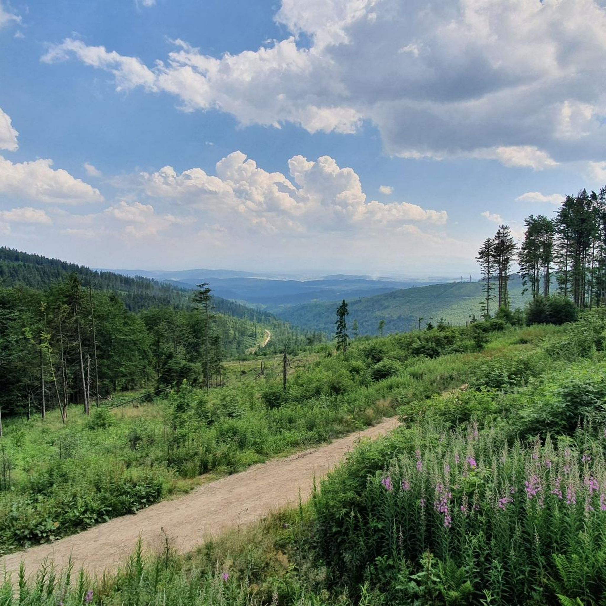
Mountaineering routes around Gmina Jabłonka are situated in the historical Orawa region of southern Poland, characterized by the prominent Babia Góra Massif. The landscape features challenging mountain ascents, including the Babia Góra (Diablak) summit and other peaks like Gówniak and Sokolica. This area is part of the Babia Góra National Park, offering diverse ecosystems and mountainous terrain.
Best mountaineering routes around gmina gmina Jabłonka
- The most popular mountaineering route is Babia Góra summit – Sokolica Viewpoint loop from Barańcowa,…
Last updated: July 6, 2026
4.9
(84)
492
hikers
14.2km
04:56
740m
740m
Moderate mountaineering route. Good fitness required. Easily-accessible paths. Suitable for all skill levels.
4.9
(79)
466
hikers
18.2km
06:44
1,150m
1,150m
Hard mountaineering route. Very good fitness required. Easily-accessible paths. Suitable for all skill levels.

Sign up for free
5.0
(10)
146
hikers
12.2km
05:25
990m
990m
Hard mountaineering route. Very good fitness required. Sure-footedness, sturdy shoes and alpine experience required.
5.0
(2)
30
hikers
21.2km
08:20
1,380m
1,380m
Hard mountaineering route. Very good fitness required. Sure-footedness, sturdy shoes and alpine experience required.
5.0
(3)
26
hikers
9.41km
04:01
830m
830m
Moderate mountaineering route. Good fitness required. Easily-accessible paths. Suitable for all skill levels.
Get access to more routes and recommendations from other explorers.
Sign up for free
Already have an account?
Our route recommendations are based on thousands of hikes, rides, and runs completed by other people on komoot.
Start today with a free account
Your next adventure awaits.
Login or Signup
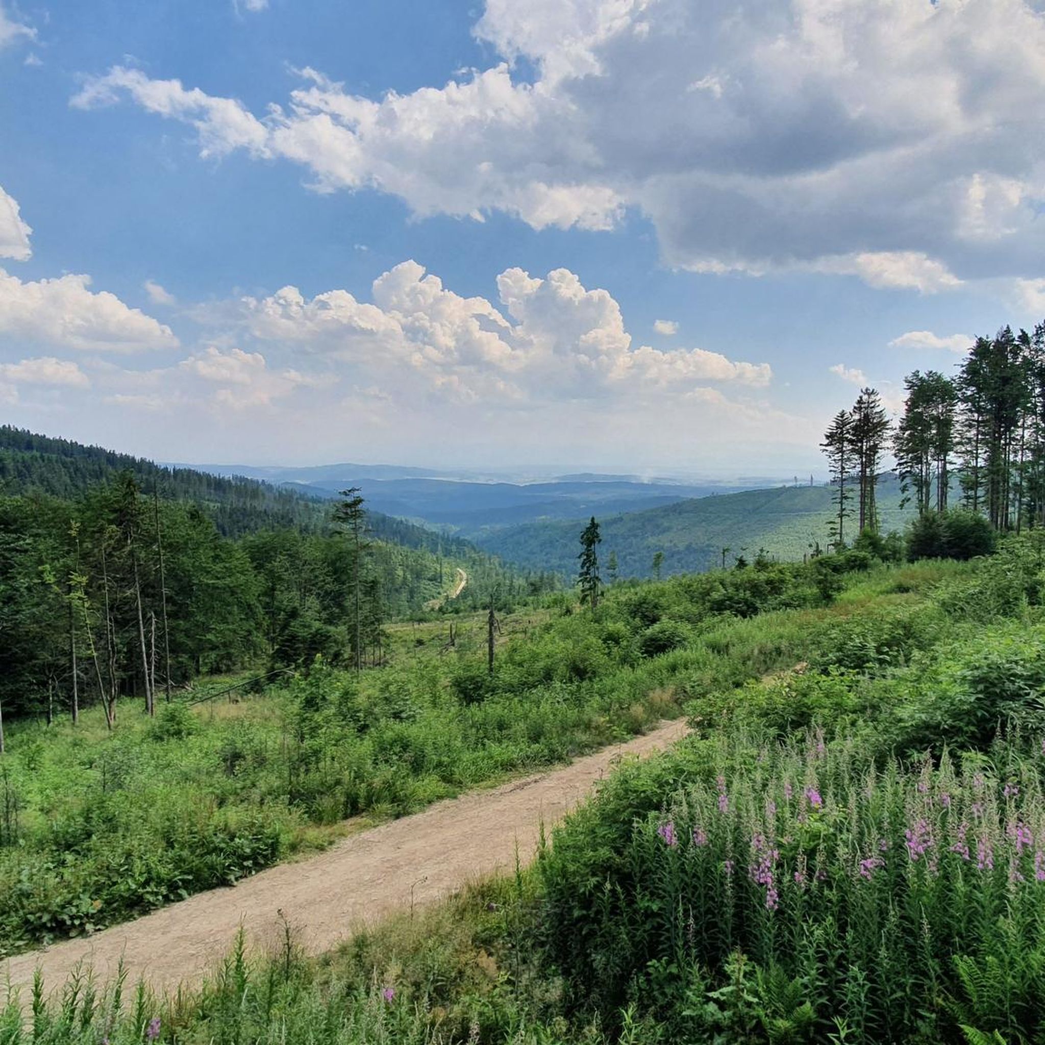
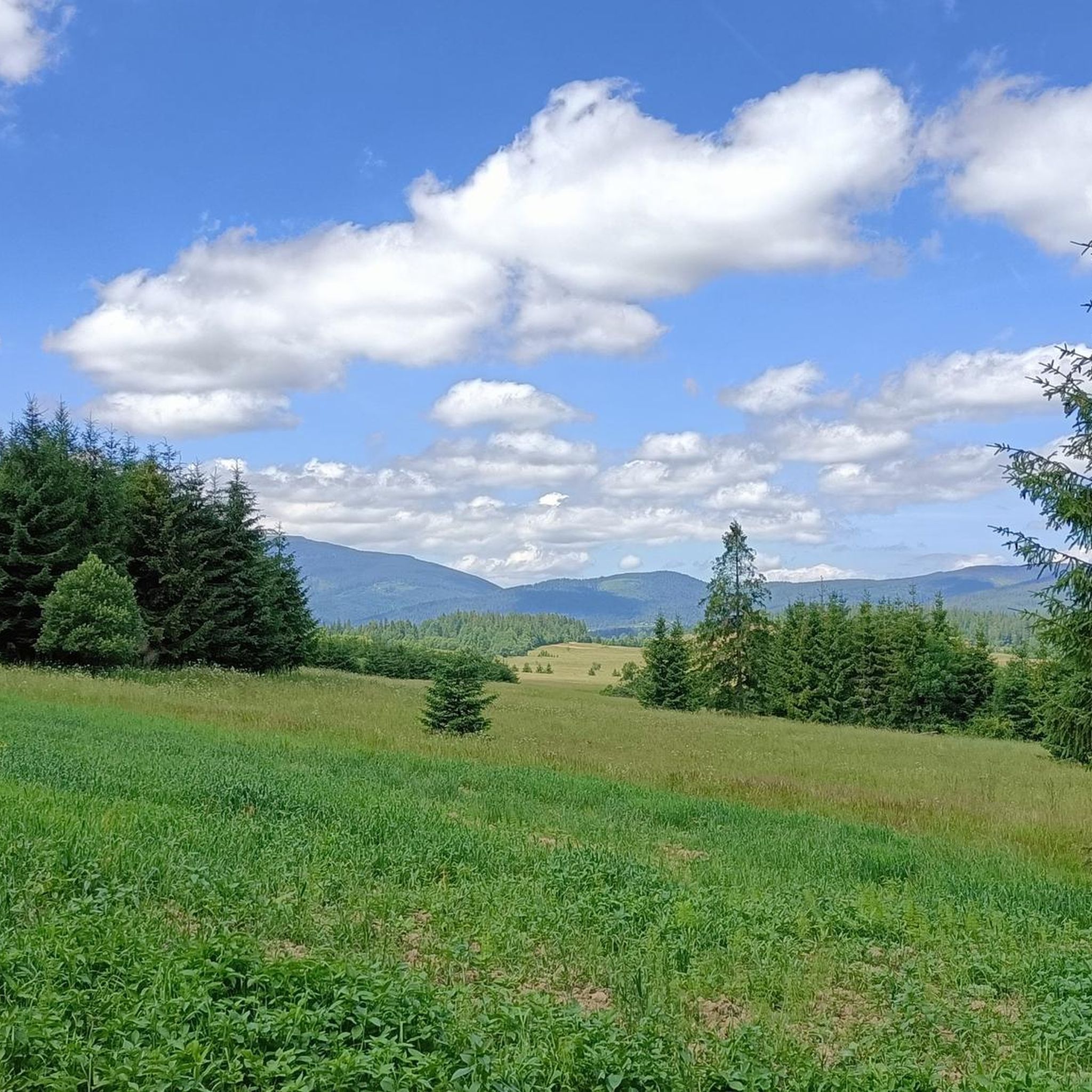
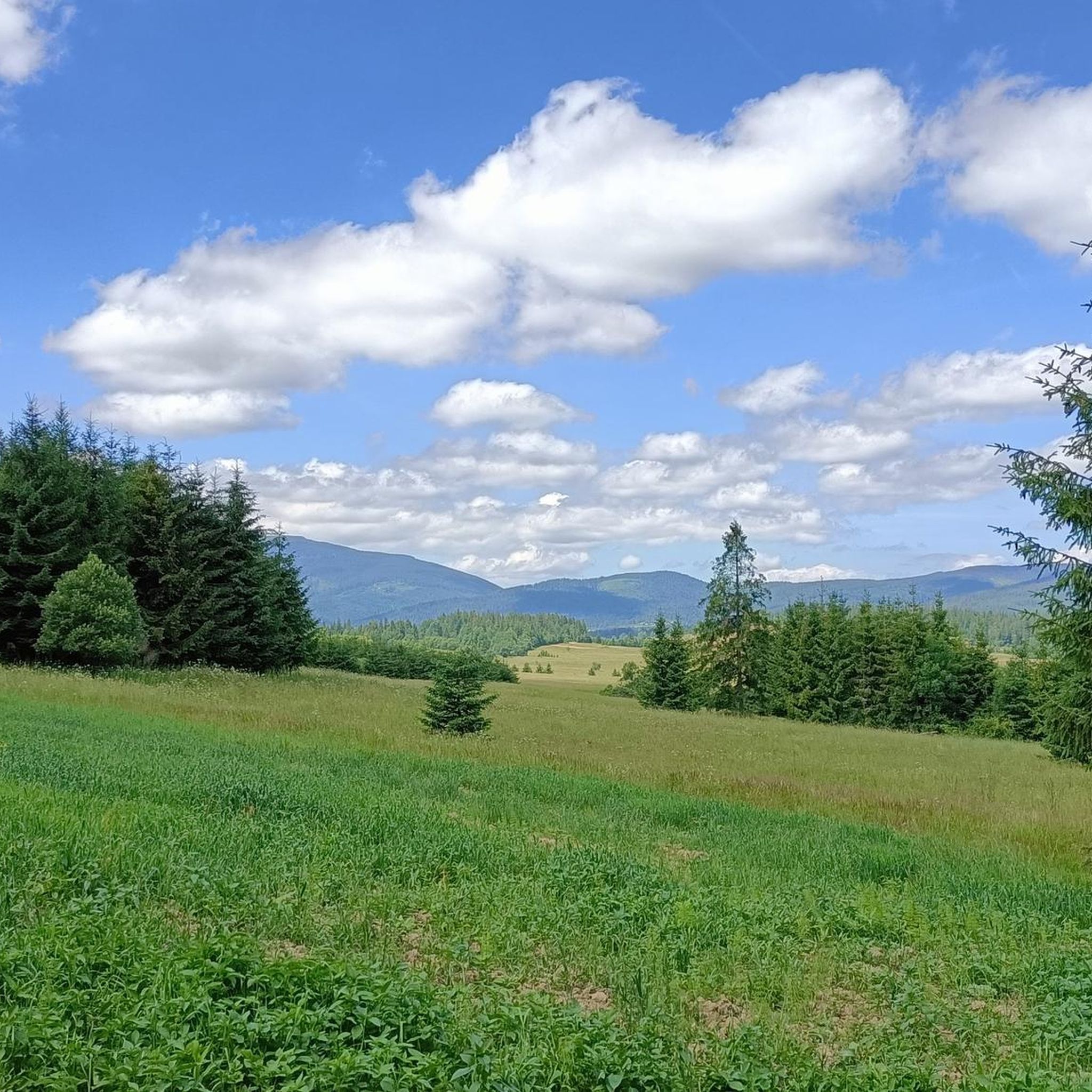
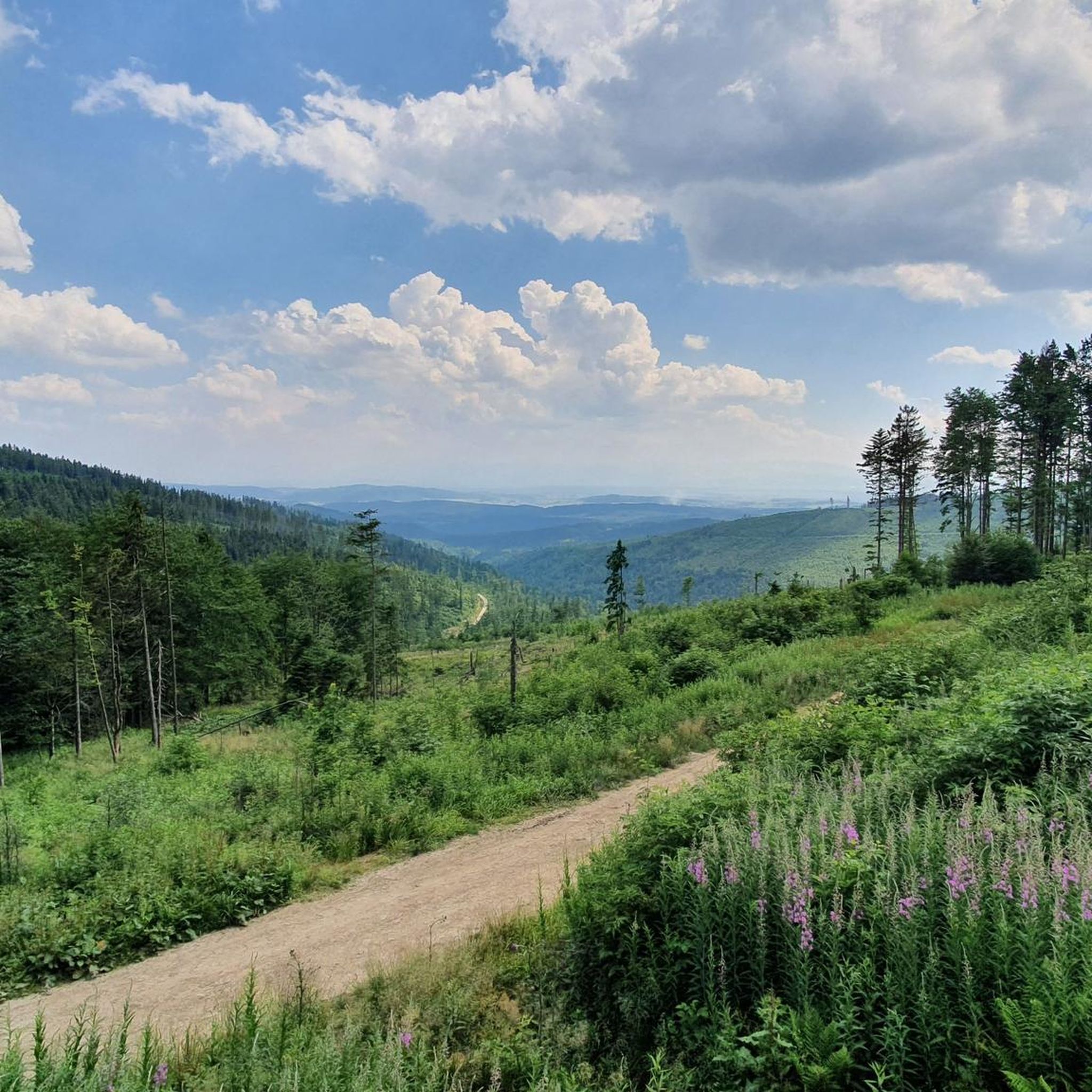

Tips from the Community

Polish people are crazy about hiking you can find them across the globe on peaks :D, so it really gets crowded so start early else you will end up in queue for pictures and food.
0
0

There's always a crowd, but plenty of space, so everyone can find their spot. A must-see on the route to Babia Góra.
0
0
A resting place before or after climbing Babia Góra. From Przełęcz, you can also hike to Cyl (Little Babia Góra), which is less than 30 minutes away.
0
0


Krowiarki Pass. Here you'll find a bus stop, parking, and the Babia Góra National Park ticket office (tickets can also be purchased online on the Babia Góra National Park website – 8 PLN, concessions 4 PLN). There's also a toi-toi and a souvenir shop.
0
0

When ascending or descending from or to Babia Góra, it is worth taking the green trail to Mała Babia Góra at the Borna Pass. The route takes about 30 minutes to the top, it is a slight ascent, but the views of Babia Góra and Pilsko are great.
0
0
From the Krowiarek Pass to Babia Góra, this is the first peak to be conquered, there are nice views and benches to rest on
0
0

Further information can be found at the following link: https://de.m.wikipedia.org/wiki/Diablak
1
0
Frequently Asked Questions
How many mountaineering routes are available in Gmina Jabłonka?
There are over 15 distinct mountaineering routes around Gmina Jabłonka, offering a variety of experiences within the Babia Góra Massif. These routes are rated as either moderate or difficult, catering to different skill levels.
Are there any circular mountaineering routes in the area?
Yes, Gmina Jabłonka offers several excellent circular mountaineering routes. For instance, you can explore the Babia Góra summit – Sokolica Viewpoint loop from Barańcowa, a challenging 18.3 km trail, or the Sokolica Viewpoint – Babia Góra summit loop from Przełęcz Krowiarki, a moderate 9.5 km option.
What are the difficulty levels of the mountaineering routes in Gmina Jabłonka?
The mountaineering routes in Gmina Jabłonka are primarily categorized as moderate or difficult. There are 7 moderate routes and 8 difficult routes, ensuring options for both experienced mountaineers and those looking for a significant challenge.
What are some notable viewpoints along the mountaineering trails?
The region is renowned for its panoramic views. The View from Sokolica is particularly impressive, offering expansive vistas of Babia Góra and Zawoja. Many routes, such as the Babia Góra summit – Sokolica Viewpoint loop from Barańcowa, incorporate this and other scenic points.
Are there any family-friendly mountaineering options in Gmina Jabłonka?
While many routes in Gmina Jabłonka are rated moderate to difficult, some shorter, moderate trails might be suitable for families with older children who are accustomed to hiking. For example, the Markowe Szczawiny Mountain Hut loop from Barańcowa is a moderate 6.1 km route that could be considered, but always assess your family's fitness and experience before embarking on any mountain trail.
What can I expect regarding weather conditions on the Babia Góra Massif?
The Babia Góra Massif, especially at higher elevations like the Babia Góra (Diablak) summit, can experience extreme weather conditions. Even in summer, temperatures can be comparable to autumn or winter. Always be prepared for sudden changes, strong winds, and lower temperatures, and carry appropriate gear.
What do other mountaineers say about the routes in Gmina Jabłonka?
The mountaineering routes in Gmina Jabłonka are highly regarded by the komoot community, boasting an average rating of 4.87 stars from over 220 reviews. Mountaineers often praise the challenging ascents, the stunning panoramic views from peaks like Babia Góra (Diablak) and Sokolica, and the well-preserved natural beauty of the Babia Góra National Park.
Are there any cultural attractions near the mountaineering routes in Gmina Jabłonka?
Yes, beyond the mountains, the region offers cultural insights. While not directly on the trails, the nearby traditional wooden village of Chochołów, with its 109 well-preserved wooden houses, provides a glimpse into local heritage. The Orawski Park Etnograficzny (Orava Ethnographic Park) in Zubrzyca Górna is another excellent cultural attraction showcasing the history and traditions of the Orawa region.
Which routes lead to the Babia Góra summit?
Several routes offer access to the iconic Babia Góra (Diablak) summit. A popular option is the Babia Góra summit – Pośredni Ridge loop from Barańcowa, a difficult 12.2 km trail. Another is the Babia Góra summit loop from Stańcowa, a moderate 9.4 km route.
Are there any mountain passes to explore in the Gmina Jabłonka area?
The region features several significant mountain passes. The Krowiarki Pass is a well-known starting point for many trails into the Babia Góra Massif. Other passes like the Harrow Pass also offer unique perspectives and connections between different parts of the range.
What is the 'Academics' Path' on Babia Góra?
The 'Academics' Path' on Babia Góra is a particularly demanding route known for its steep sections secured with chains and clasps. It is a one-way trail designed for ascent only, offering a challenging experience for advanced mountaineers. Hikers should be well-prepared for its technical nature.
Most popular routes around gmina gmina Jabłonka
Most popular attractions around gmina gmina Jabłonka

Get inspired with the komoot mobile app


Explore more
Browse the best Mountain Hikes & Routes in other regions.
