The best road cycling routes around gmina gmina Jabłonka
4.9
(74)
1,774
riders
84
rides
Road cycling routes around Gmina Jabłonka traverse the varied landscapes of the Orawa Basin, situated in southern Poland near the Slovak border. The region features a mix of gently rolling terrain along the Czarna Orawa river and more challenging ascents towards the Babia Góra mountain range, offering views of the Tatra Mountains. Approximately 33% of the area is covered by forests, providing shaded sections for cyclists. This topography supports a range of road cycling experiences, from moderate rides to routes…
Last updated: July 10, 2026
4.0
(2)
45
riders
58.5km
02:48
550m
550m
Moderate road ride. Good fitness required. Some segments of this route may be unpaved and difficult to ride.
5.0
(1)
15
riders
45.7km
02:18
630m
630m
Moderate road ride. Good fitness required. Mostly well-paved surfaces and easy to ride.

Sign up for free
11
riders
Moderate road ride. Good fitness required. Mostly well-paved surfaces and easy to ride.
7
riders
42.6km
02:00
570m
570m
Moderate road ride. Good fitness required. Mostly well-paved surfaces and easy to ride.
10
riders
Moderate road ride. Good fitness required. Mostly well-paved surfaces and easy to ride.
Get access to more routes and recommendations from other explorers.
Sign up for free
Already have an account?
Our route recommendations are based on thousands of hikes, rides, and runs completed by other people on komoot.
Start today with a free account
Your next adventure awaits.
Login or Signup
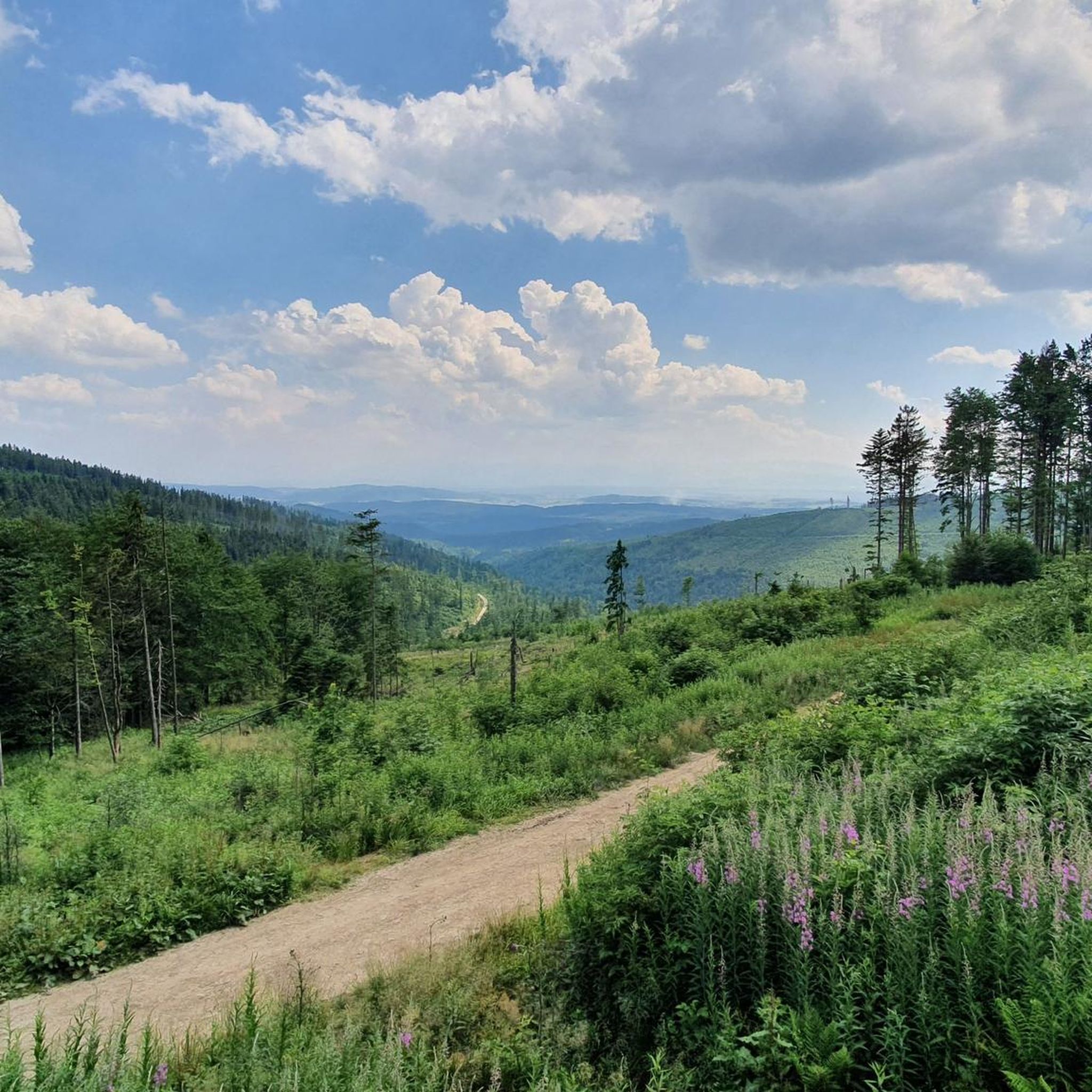

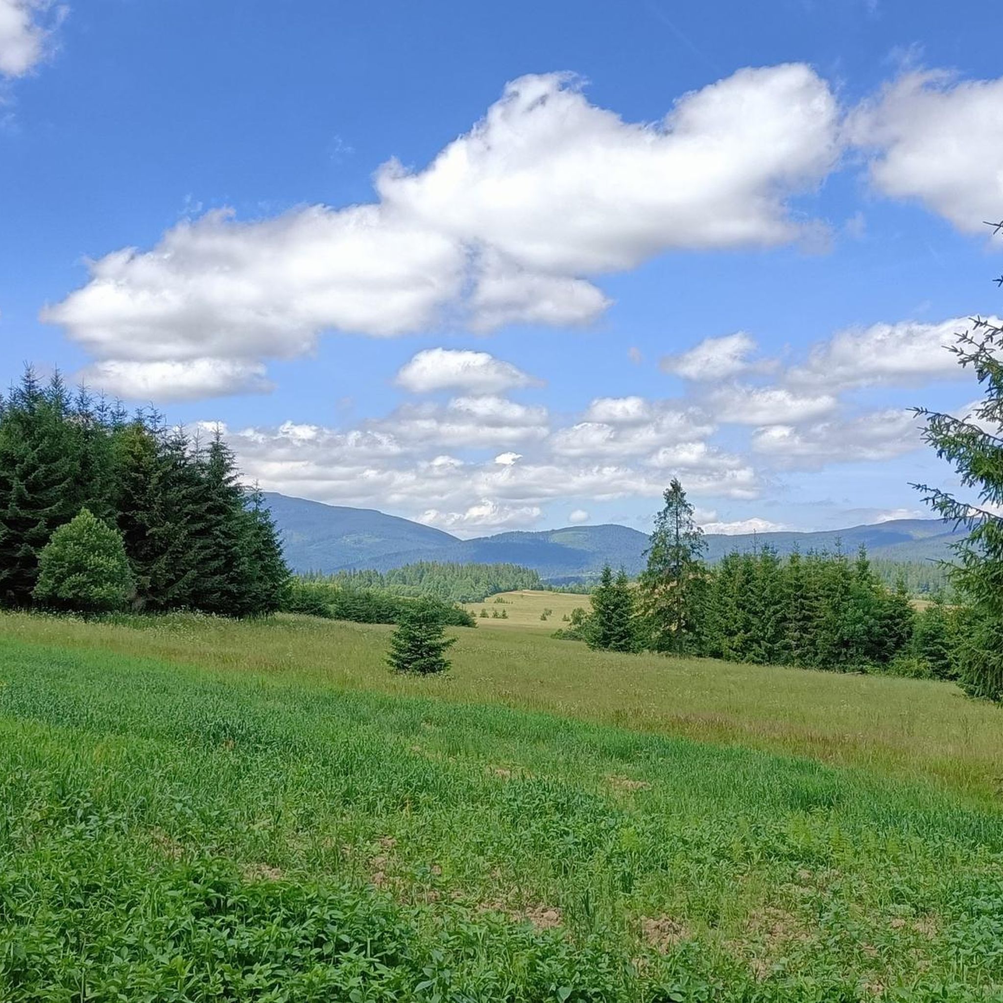
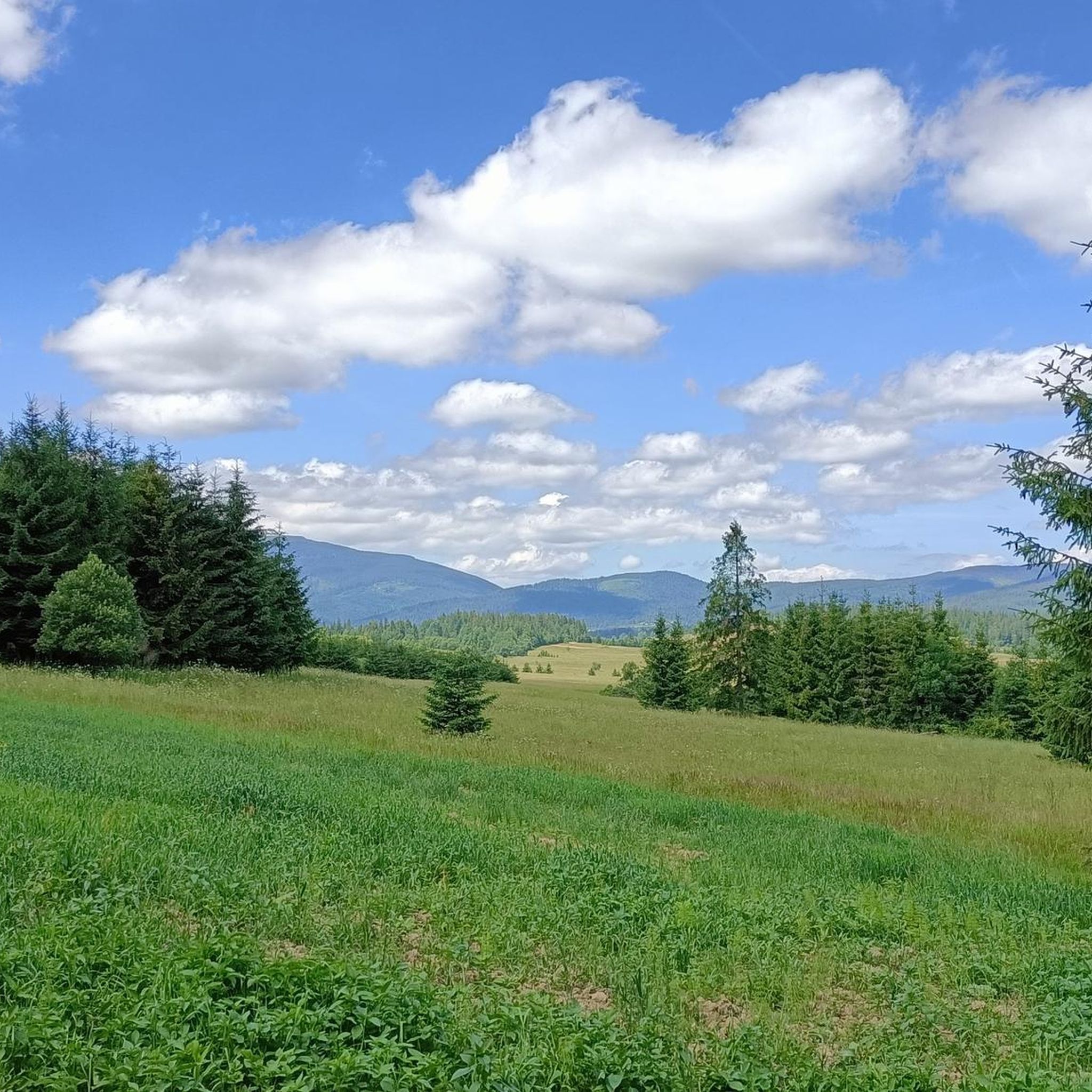
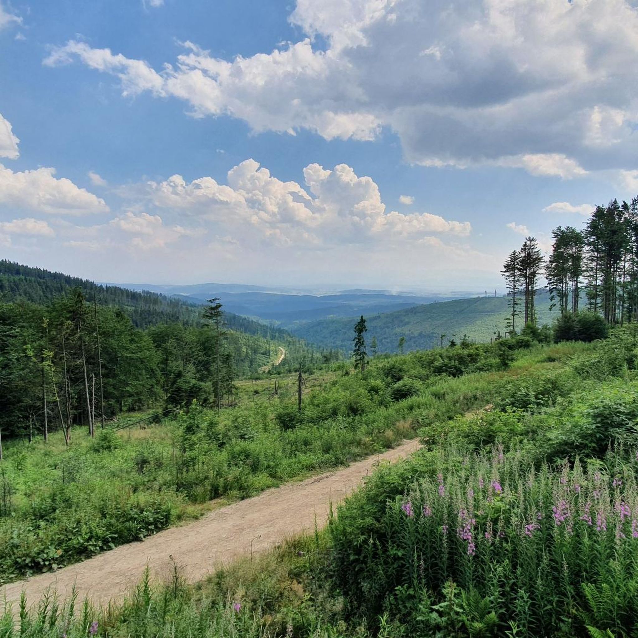

Tips from the Community

Krowiarki Pass. Here you'll find a bus stop, parking, and the Babia Góra National Park ticket office (tickets can also be purchased online on the Babia Góra National Park website – 8 PLN, concessions 4 PLN). There's also a toi-toi and a souvenir shop.
0
0

An important site. In the early days of World War II, Wysoka witnessed heroic battles by Polish soldiers under the command of Colonel Stanisław Maczek. Over 50 died. One civilian and 14 soldiers who died then are buried in this cemetery. It is a truly beautiful place of remembrance.
1
0


Trstená is a small Slovak town located right on the border with Poland, on the Orava River. It is a good place for a short break during a bike trip through Orava or the route of the Trail Around the Tatras. In the center, it is worth seeing the well-kept market square, the Church of St. Martin and local cafes where you can relax. The route to Trstená leads mainly along quiet roads and bike paths, and the surrounding areas are rather flat, so they are also suitable for a lighter day trip. In the area, it is worth stopping at the Oravská priehrada reservoir or continuing towards Dolný Kubín.
4
0

Here starts the route and directly the climb to the top of the Babia Gora mountain. Please note that this is a national park and you have to buy entrance tickets. (Costs in 2023 - €3 p.p.) solid climb of about 800 meters in height over 3.5 kilometers in length.
0
0

Most beautiful and great to cycle section on perfect tarnac and without any cars. passing a nature reserve this cycle path offers several rest places, wooden bridges with roof and most important great views on the High Tatra. a clear recommendation!
0
0
The ascent to Przełęcz Krowiarki from Zubrzyca Dolna is 11.5 km long, with a 340 m elevation gain. The average gradient is 3%. The first 8 km are quite gentle, then the gradient increases to 5-8%. The asphalt is very nice and smooth.
1
0

so quiet on asphalt through nature. Full recommendation 😃
0
0
Frequently Asked Questions
How many road cycling routes are available in Gmina Jabłonka?
Gmina Jabłonka offers a wide network of road cycling routes, with over 90 options to explore. These routes cater to various preferences, from leisurely rides to more challenging ascents.
What kind of terrain can I expect when road cycling in Gmina Jabłonka?
The region features diverse terrain, ranging from gently rolling hills in the Orawa Basin along the Czarna Orawa river to more demanding ascents towards the Babia Góra mountain range. You can expect a mix of flat sections and significant elevation changes, often with views of the Tatra Mountains.
Are there road cycling routes suitable for beginners or families in Gmina Jabłonka?
Yes, Gmina Jabłonka has routes suitable for all fitness levels. While many routes are moderate, there are 12 routes classified as easy, making them ideal for beginners or families looking for a more relaxed cycling experience. These routes often traverse the Orawa Basin with less elevation gain.
Are there challenging road cycling routes with significant climbs?
Absolutely. For experienced cyclists seeking a challenge, Gmina Jabłonka offers 20 routes classified as difficult. These routes often include substantial elevation gains, particularly towards the Babia Góra mountain range, and can feature climbs like the one towards Krowiarki Pass, offering panoramic vistas.
What scenic views and landmarks can I expect along the road cycling routes?
Road cycling in Gmina Jabłonka provides stunning views of the Tatra Mountains and the natural beauty of the Orawa Basin. Routes often pass through forested areas and offer glimpses of prominent natural features. You might encounter viewpoints like View from Sokolica or mountain passes such as Harrow Pass.
What do other road cyclists enjoy most about cycling in Gmina Jabłonka?
The area is highly rated by the komoot community, with an average score of 4.8 stars from 55 reviews. Cyclists often praise the varied terrain, which offers both scenic, gentle rides and challenging climbs, as well as the breathtaking views of the Tatra Mountains and the natural immersion provided by the forested landscapes.
When is the best time of year for road cycling in Gmina Jabłonka?
The warmer months, typically from late spring through early autumn, are generally the best for road cycling in Gmina Jabłonka. During this period, the weather is more stable, and the scenic landscapes are at their most vibrant. Summer offers pleasant temperatures for longer rides.
Are there any circular road cycling routes available?
Yes, many of the road cycling routes in Gmina Jabłonka are designed as loops, allowing you to start and finish at the same point. An example is the View of Yoda Lake – View of the Orava Hills loop from Orawka, which offers varied terrain and scenic views.
Is there parking available for cyclists at the trailheads?
While specific parking information for every trailhead isn't detailed, Gmina Jabłonka is a rural district, and parking is generally available in villages or designated areas. It's advisable to check specific starting points for the most convenient parking options.
Can I find places to eat or stay overnight along the cycling routes?
As a popular outdoor destination, Gmina Jabłonka and its surrounding villages offer various amenities. You can expect to find local cafes, pubs, and accommodation options in towns like Jabłonka and other settlements along or near the cycling routes, providing convenient stops for refreshments or overnight stays.
What are the typical distances of road cycling routes in Gmina Jabłonka?
The routes vary significantly in length. For instance, the Roadbike loop from Podwilk is about 26 km, while the Trstená Town Center – Cycle Path in CHKO Horná Orava loop from Chyżne extends to over 53 km. This variety ensures options for both shorter excursions and longer rides.
Are there any historical sites or cultural points of interest along the routes?
Some routes, like the Wysoka Road through the forest – Military cemetery in Wysoka loop from Zubrzyca Górna, lead through forested areas and past historical sites, such as the military cemetery in Wysoka. The region's rich history, particularly its location near the Slovak border and within the historical Orawa region, means you may encounter various cultural points of interest.
Most popular routes around gmina gmina Jabłonka
Most popular attractions around gmina gmina Jabłonka

Get inspired with the komoot mobile app


Explore more
Browse the best Road cycling routes in other regions.
