The best walks and hikes around gmina Ożarów Mazowiecki
4.6
(798)
13,854
hikers
776
hikes
Hiking around gmina Ożarów Mazowiecki offers diverse natural landscapes, including lush forests, rolling hills, and tranquil rivers. The Utrata River flows through the region, contributing to its varied ecosystems. A notable feature is the Wolica Nature Reserve, which protects riparian and low hornbeam forests with trees over 100 years old. The terrain generally features gentle elevation changes, making it suitable for various hiking abilities.
Best hiking trails around gmina Ożarów Mazowiecki
- The most popular hiking route is Bemiś Tenisia – Bemiś Bemolek loop from Blizne Łaszczyńskiego, an easy 2.4 miles (3.9 km) trail that takes 59 minutes to complete. This path offers a straightforward walk through local green spaces.
- Another top favourite among local hikers is Gardener Bear Statue – Skatepark loop from Szamoty, an easy 4.4 miles (7.0 km) path. This route traverses varied local scenery, suitable for a relaxed outing.
- Local hikers also love the Ty2-220 Steam Locomotive – Magic Escape Room loop from Piastów, a 6.9 miles (11.1 km) trail leading through suburban and natural areas, often completed in about 2 hours 50 minutes.
- Hiking around gmina Ożarów Mazowiecki is defined by lush forests, tranquil river valleys, and gentle rolling hills. The network offers options for different ability levels, from easy walks to moderate excursions.
- The routes in gmina Ożarów Mazowiecki are highly rated by the komoot community with an average score of 4.6 stars from over 500 reviews. More than 10,000 hikers have used komoot to explore gmina Ożarów Mazowiecki's varied terrain.
Last updated: October 9, 2026
4.8
(12)
52
hikers
14.6km
03:45
70m
70m
Hike the moderate 9.1-mile Pętla Zaborów - Rezerwat Debły trail in Kampinoski Park Narodowy, exploring unique dunes and wetlands.
5.0
(3)
51
hikers
9.78km
02:29
20m
20m
Moderate hike. Good fitness required. Easily-accessible paths. Suitable for all skill levels.

52
hikers
Easy hike. Great for any fitness level. Easily-accessible paths. Suitable for all skill levels.
41
hikers
Easy hike. Great for any fitness level. Easily-accessible paths. Suitable for all skill levels.
31
hikers
3.88km
00:59
10m
10m
Easy hike. Great for any fitness level. Easily-accessible paths. Suitable for all skill levels.
Get access to more routes and recommendations from other explorers.
Already have an account?
Our route recommendations are based on thousands of hikes, rides, and runs completed by other people on komoot.
Start today with a free account
Your next adventure awaits.

Tips from the Community

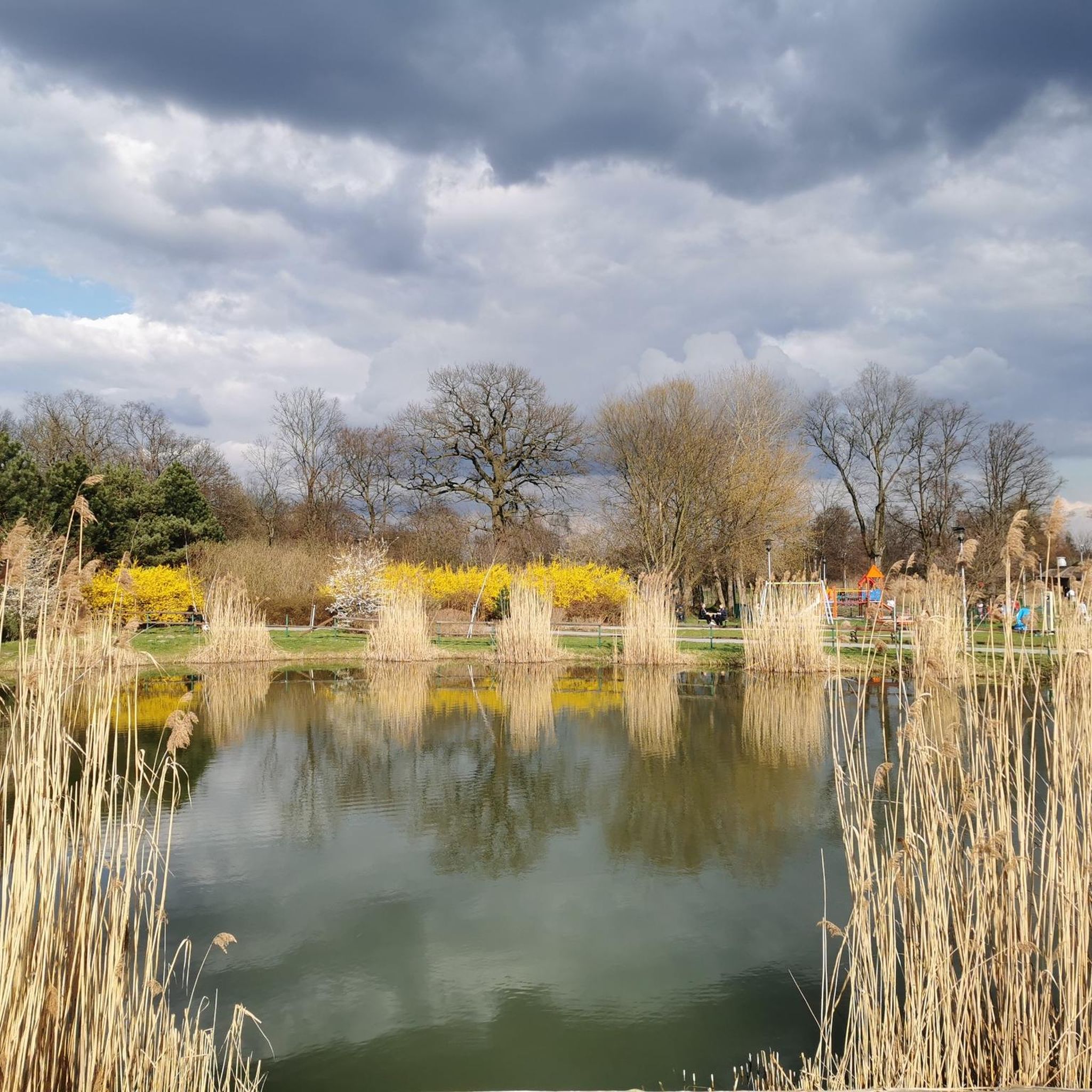
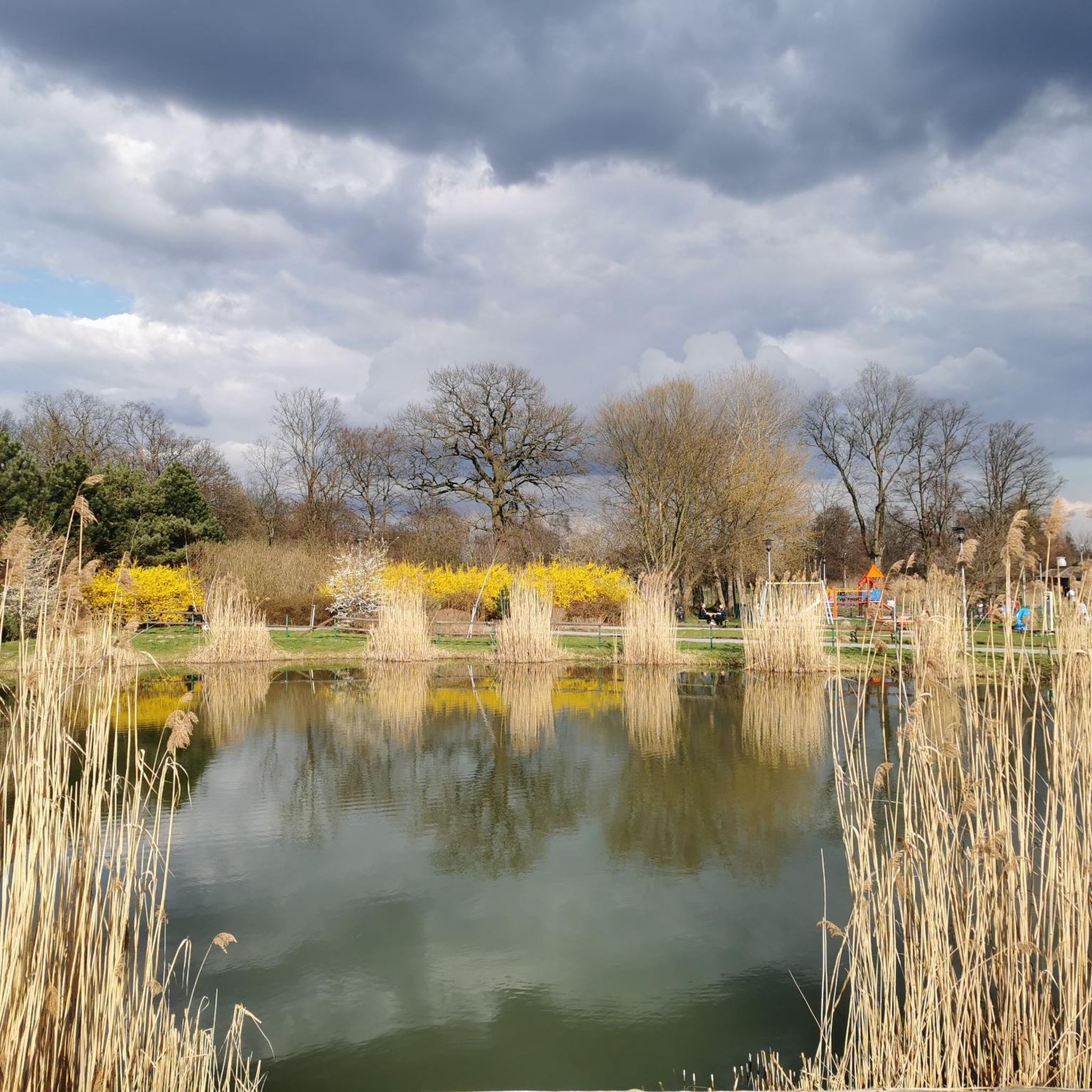
It covers an area of approx. 2.2 ha, half of which is the pond area, from which the park took its name. At its deepest point, the pond is 6 meters deep, but the average depth of the pond is 2.65 meters. There are numerous benches by the water, and shrubs and a small bridge add to the charm of this place. The pond features water soldier (Stratiotes aloides).
1
0
Nature monument, Avenue of trees Warsaw
1
0
Church of St. Teresa of the Child Jesus and the Roman Martyrs in Warsaw; Warsaw (Włochy-Osiedle Włochy-Nowe Włochy) · ul. ks. Juliana Chrościckiego.
0
0
I don't know why someone created such an attraction...
1
0
The Monument to the Workers of June 1976 in Warsaw-Ursus, unveiled on September 4, 1981, commemorates the brutally suppressed protest of the workers of the "Ursus" Mechanical Works against price increases. The monument is located at ul. Traktorzystów/Plac Czerwca 1976 roku, and consists of a metal cross and sandstone by Leszek Nadstawny.
0
0
MIŚ TRAKTORZYSTA – by the Office
1
0
Behind Traktorzystów Street in Warsaw stands a monument to the workers of the "Ursus" mechanical plant who fell during World War II. On the dark stone, bright letters recall the names of the workers who died at the hands of the occupier.
0
0

Frequently Asked Questions
How many hiking trails are available in gmina Ożarów Mazowiecki?
There are over 580 hiking routes available in gmina Ożarów Mazowiecki, catering to various skill levels. This includes more than 390 easy trails, 180 moderate options, and a few more challenging paths for experienced hikers.
What kind of terrain can I expect when hiking in gmina Ożarów Mazowiecki?
Hikers in gmina Ożarów Mazowiecki can expect diverse natural landscapes, including lush forests, gentle rolling hills, and tranquil river valleys, particularly along the Utrata River. The terrain generally features mild elevation changes, making it suitable for a wide range of abilities.
Are there any family-friendly hiking options in gmina Ożarów Mazowiecki?
Yes, gmina Ożarów Mazowiecki offers many family-friendly routes. For example, the Bemiś Tenisia – Bemiś Bemolek loop from Blizne Łaszczyńskiego is an easy 3.9 km trail that takes less than an hour, perfect for a short outing with children. Additionally, areas like Park Ołtarzewski provide recreational spaces with playgrounds and walking paths.
Can I bring my dog on the hiking trails in gmina Ożarów Mazowiecki?
Many trails in gmina Ożarów Mazowiecki are suitable for dog walking. It's always recommended to keep your dog on a leash and check local regulations for specific nature reserves or protected areas. The varied landscapes offer plenty of opportunities for you and your canine companion to enjoy the outdoors.
Are there any circular hiking routes available?
Yes, there are numerous circular routes in the region. An example is the Gardener Bear Statue – Skatepark loop from Szamoty, an easy 7 km path that allows you to start and end at the same point, traversing varied local scenery.
What natural features or landmarks can I explore while hiking?
A significant natural highlight is the Wolica Nature Reserve, protecting unique riparian and low hornbeam forests with trees over 100 years old. You might also encounter the tranquil Utrata River. For specific points of interest, consider visiting the Łuże Dune Boardwalk or the Komorowski Reservoir.
What do other hikers enjoy most about the trails in gmina Ożarów Mazowiecki?
The trails in gmina Ożarów Mazowiecki are highly rated by the komoot community, with an average score of 4.6 stars from over 500 reviews. Hikers often praise the quiet woodlands, well-maintained paths, and the accessibility of diverse natural environments close to urban areas.
Are there any longer, more challenging hikes in the area?
While many routes are easy to moderate, gmina Ożarów Mazowiecki is also part of longer pilgrimage routes, such as the 'Warsaw Way of St. James: Warszawa - Ożarów' (21.7 km) and 'Warsaw Way of St. James: Ożarów Mazowiecki - Niepokalanów' (35.2 km), offering more extensive trekking experiences.
How long do typical hikes in gmina Ożarów Mazowiecki take?
Hike durations vary significantly. Many easy routes, like the Water Wall – Gardener Bear Statue loop from Ursus (3.5 km), can be completed in about an hour. Moderate trails, such as the Ty2-220 Steam Locomotive – Magic Escape Room loop from Piastów (11.1 km), typically take around 2 hours and 50 minutes.
Is public transport available to reach hiking trailheads?
Gmina Ożarów Mazowiecki is situated just outside Warsaw, offering convenient access. While specific public transport links to every trailhead may vary, the region's proximity to the city suggests that many starting points are accessible via local bus services or short connections from major transport hubs.
Are there parking facilities near the hiking trails?
Yes, many popular trailheads and recreational areas within gmina Ożarów Mazowiecki, including places like Park Ołtarzewski, typically offer designated parking facilities. It's advisable to check specific route details on komoot for information on parking availability at individual starting points.
What is the best season for hiking in gmina Ożarów Mazowiecki?
The diverse landscapes of gmina Ożarów Mazowiecki are enjoyable throughout the year. Spring brings blooming flora, summer offers lush greenery, and autumn provides beautiful foliage. Even in winter, the trails can be picturesque, though appropriate gear is recommended for colder conditions.
Most popular routes around gmina Ożarów Mazowiecki
Most popular attractions around gmina Ożarów Mazowiecki

Get inspired with the komoot mobile app


Explore more
Browse the best Hikes in other regions.
