The best running trails around Komańcza
5.0
(9)
1,792
runners
66
runs
Jogging around Komańcza offers access to the Bieszczady Mountains, a region characterized by rolling hills and dense forests. The area is nestled in the scenic valley of the Osławica and Barbarka streams, providing a natural backdrop for outdoor activities. Ancient beech forests are a prominent feature, contributing to the unique microclimate and visual appeal. Specific natural landmarks like the Duszatyńskie Lakes and the Chryszczata peak (997 meters) offer varied terrain for runners.
Best jogging routes around Komańcza
- The most popular…
Last updated: October 13, 2026
156
runners
65.8km
08:34
1,990m
1,990m
Hard run. Very good fitness required. Mostly paved surfaces. Suitable for all skill levels.
5.0
(1)
154
runners
51.6km
06:35
1,330m
1,330m
Hard run. Very good fitness required. Mostly paved surfaces. Suitable for all skill levels.

124
runners
37.3km
05:14
1,510m
1,510m
Hard run. Very good fitness required. Mostly paved surfaces. Suitable for all skill levels.
9
runners
30.0km
03:54
830m
830m
Hard run. Very good fitness required. Mostly paved surfaces. Suitable for all skill levels.
9
runners
28.7km
03:43
820m
820m
Hard run. Very good fitness required. Mostly paved surfaces. Suitable for all skill levels.
Get access to more routes and recommendations from other explorers.
Already have an account?
Our route recommendations are based on thousands of hikes, rides, and runs completed by other people on komoot.
Start today with a free account
Your next adventure awaits.

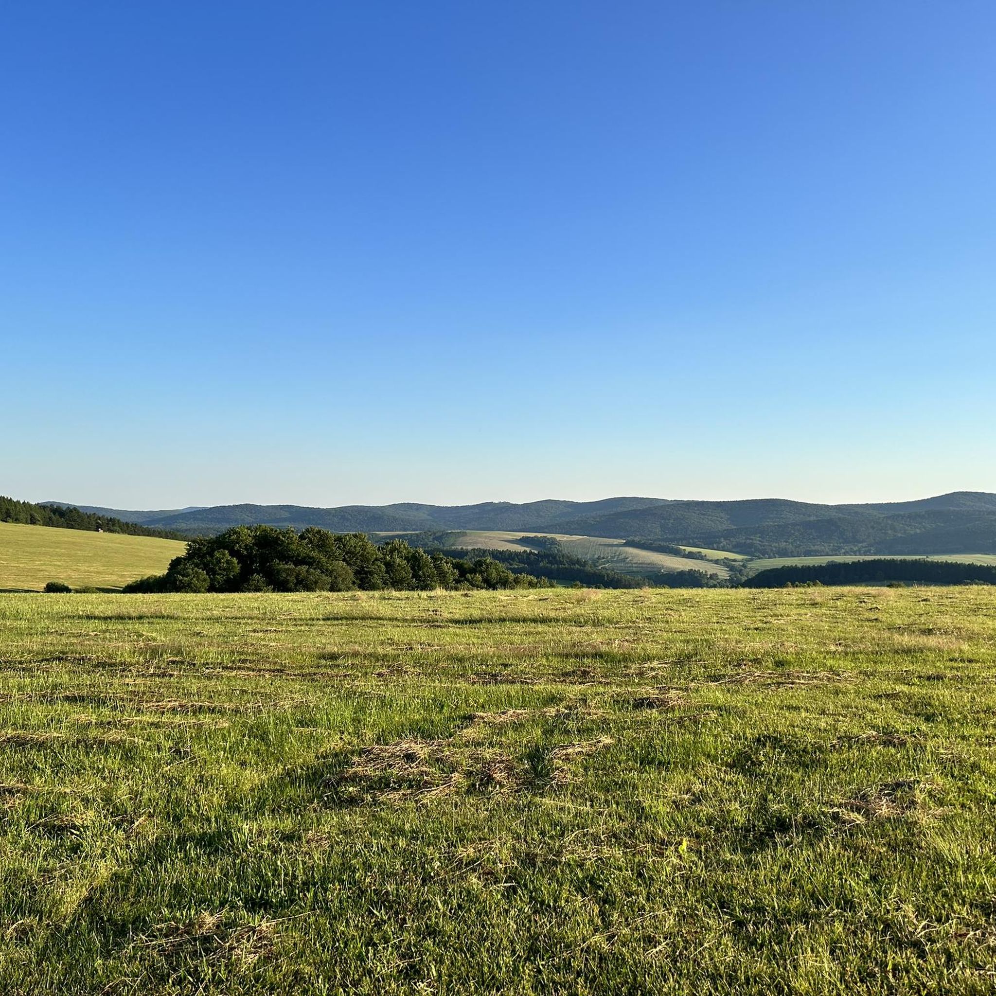
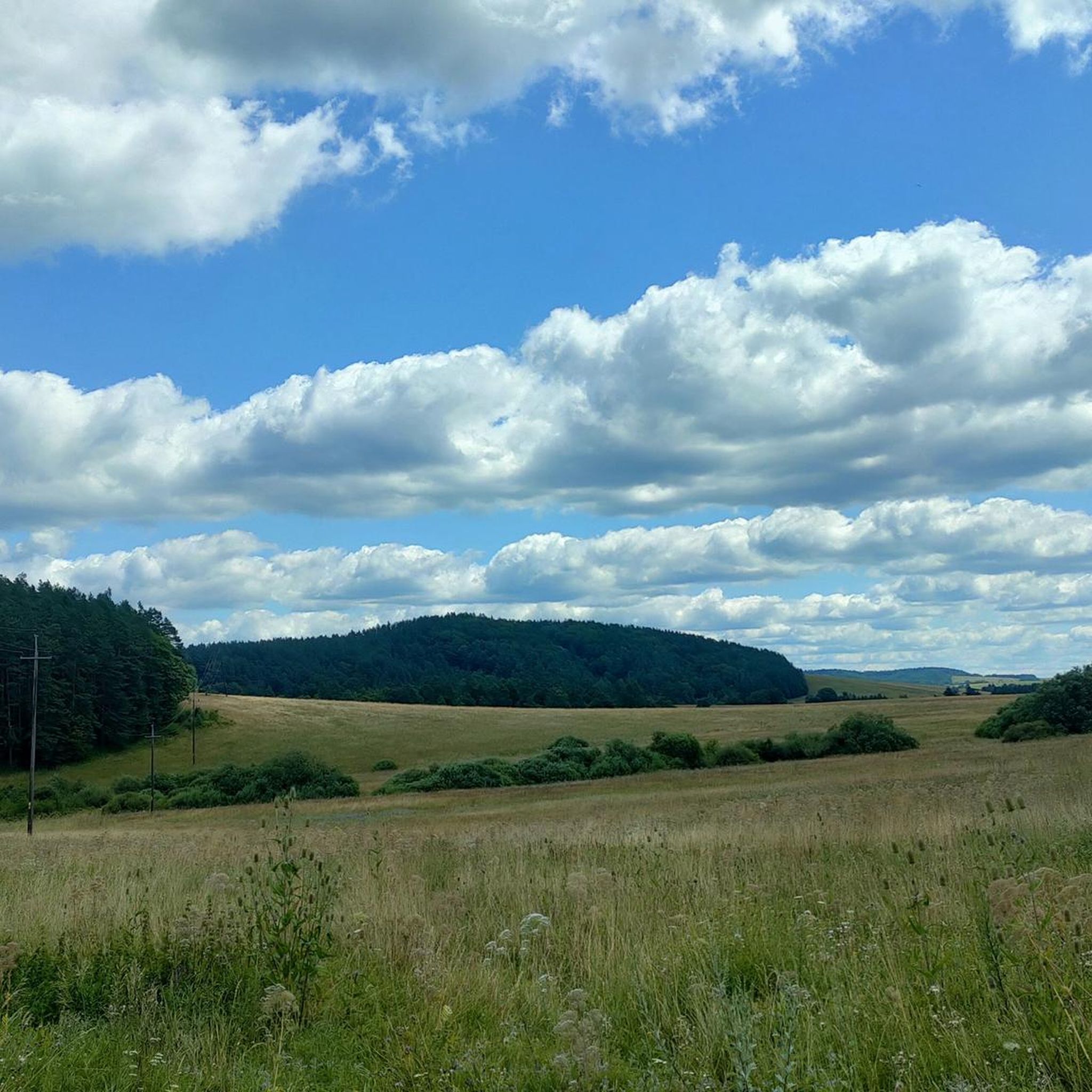
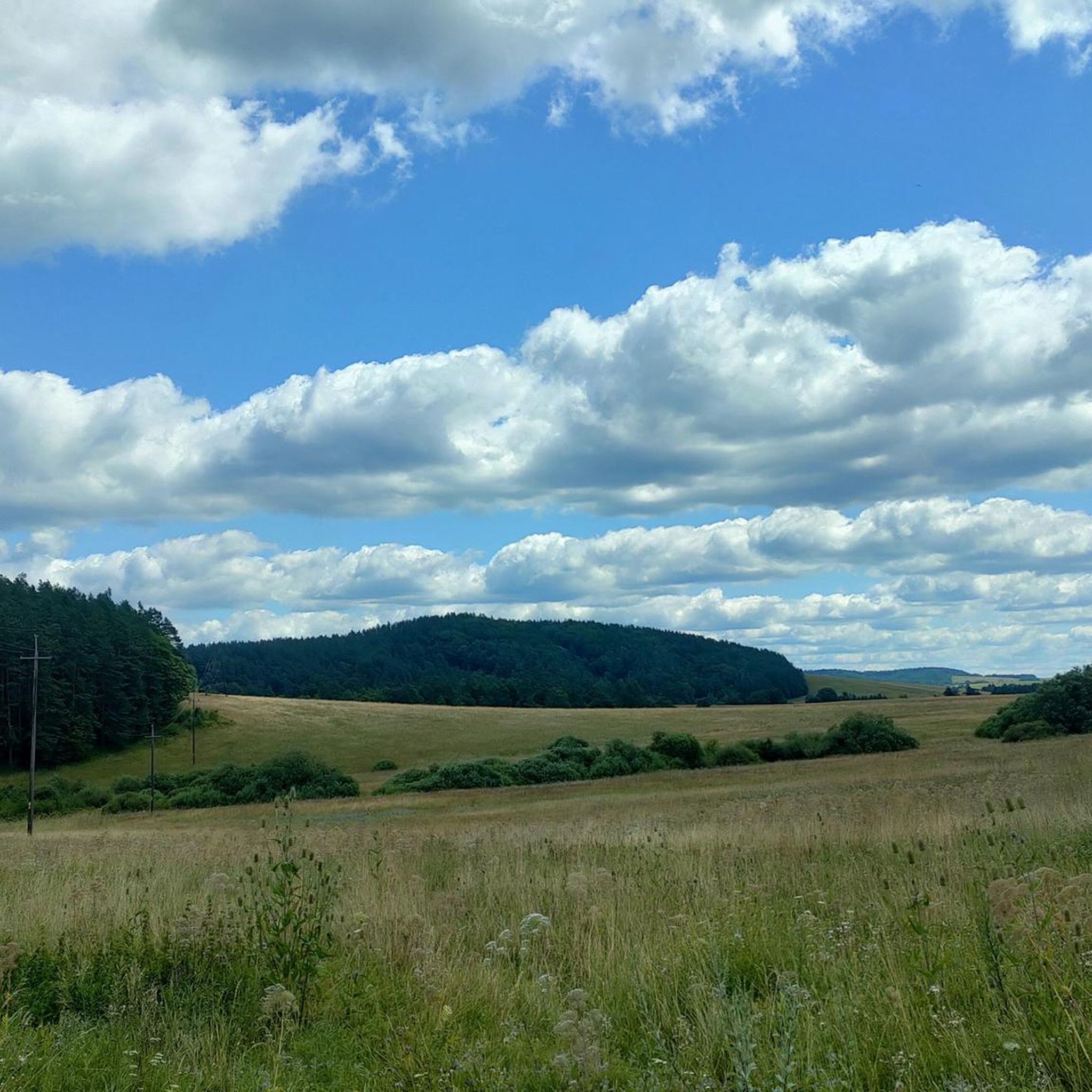
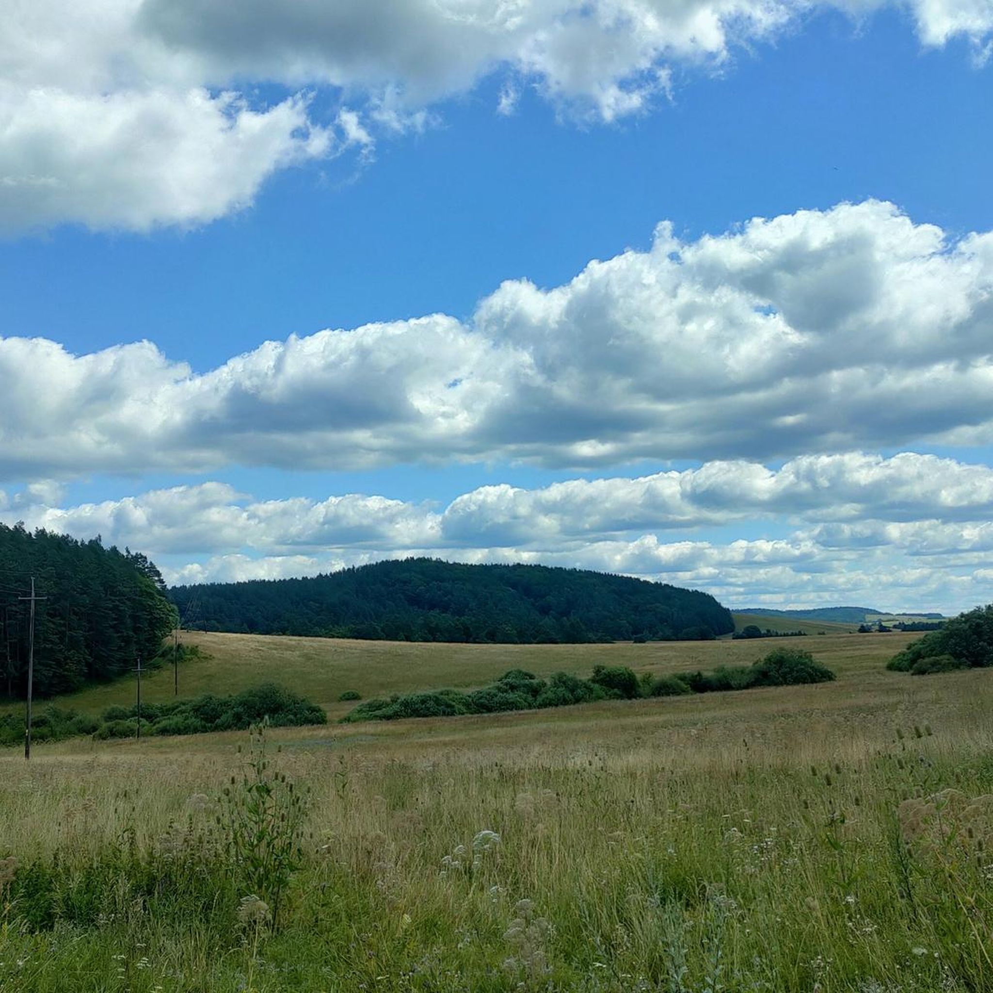

Other adventures around Komańcza

Tips from the Community

More information and photos: https://pl.wikipedia.org/wiki/Prze%C5%82%C4%99cz_nad_Roztokami_G%C3%B3rnymi https://mapa-turystyczna.pl/node/przelecz-nad-roztokami#49.14426/22.33040/14 https://goryaktywnie.pl/przelecz-nad-roztokami https://odtur.pl/atrakcje/cisna-przelecz-nad-roztokami-gornymi-55250.html
2
0
More information and photos: https://pl.wikipedia.org/wiki/Szczawnik_(1098_m) https://podroze.onet.pl/ciekawe/bieszczady-szczawnik-szczyt-informacje-i-szlaki/mgmkq02 https://mapa-turystyczna.pl/trail/16614#49.16088/22.39984/14
2
0
More information and photos: https://pl.wikipedia.org/wiki/Okr%C4%85glik_(Bieszczady) https://mapa-turystyczna.pl/node/okraglik#49.14685/22.36628/14 https://www.nawycieczke.pl/pl/atrakcja/okraglik-1101-m-n-p-m https://poznajgory.pl/attractions/okraglik/ https://www.twojebieszczady.net/piesze/n_plasza.php https://gdziebytudalej.pl/fereczata-okraglik-plasza-paportna/ https://www.planetagor.pl/articles/entry/Wst-p-do-po-onin-Jas-o-Okr-glik-Fereczata https://podroze.onet.pl/ciekawe/okraglik/smcbel8
2
0
More information: https://andrzej-banach.eu/w-gorach/bieszczadzkie-poloniny/hyrlata/ https://www.twojebieszczady.net/piesze/hyrlata.php
2
0
More information and photos: https://pl.wikipedia.org/wiki/Jas%C5%82o_(g%C3%B3ra) https://mapa-turystyczna.pl/node/jaslo#49.15796/22.36078/14 https://trasygorskie.pl/jaslo-jaslo/ https://www.twojebieszczady.net/jaslo.php https://gdziebytudalej.pl/na-widokowe-jaslo-i-graniczny-stryb/ https://www.twojebieszczady.net/piesze/przyslup_jaslo.php https://magazynnaszczycie.pl/artykul/skiturowa-klasyka-bieszczadow-n1510246 https://www.twojebieszczady.net/jaslo2.php https://poznajgory.pl/attractions/jaslo/
2
0

An interesting place. Primarily a natural monument with impressive trees: two yews, one fir, and one linden. But beyond that, fascinating sculptures and some history about the many different cultures in the history of Tabor and Wisłok—worth reading.
1
0
Rymanów-Zdrój is a little further northwest from here. There's a bench here from which you can enjoy the beautiful view. It's a good place to stop and grab a bite to eat, but if not, you'll always find something to feed your soul!
1
0
Tokarnia, a peak at 778 meters above sea level, offers stunning and expansive views of the Bukowskie Foothills and the Bieszczady Mountains. Finally, a forest-free peak. It's beautiful and peaceful here—it's hard to believe that heavy fighting took place here during World War II. It's an open clearing, so the wind can blow tourists away quite hard.
1
0
Frequently Asked Questions
How many running routes are available around Komańcza?
There are over 50 running routes around Komańcza, offering a wide range of options for different fitness levels. The area is known for its extensive network of trails, including four primary tourist trails that traverse the town.
Are there any easy or moderate jogging paths in Komańcza suitable for beginners?
While many routes in Komańcza are challenging, there are moderate options available. For instance, the Lower Duszatyn Pond – Dushatinskie Lakes loop from Przełom Osławy pod Duszatynem is a moderate 8.7 km path that takes about 1 hour 5 minutes to complete, offering a beautiful experience around the natural Duszatyńskie Lakes.
What kind of natural landmarks can I expect to see while running in the Komańcza area?
Komańcza is rich in natural beauty. You can encounter ancient beech forests, the scenic valleys of the Osławica and Barbarka streams, and significant natural landmarks like the Łopiennik Peak (1,069 m). The Waterfall on the Wisłoczek is another beautiful sight, and the Duszatyńskie Lakes are considered a notable natural curiosity of the Bieszczady Mountains.
Are there any circular running routes around Komańcza?
Yes, many of the running routes in Komańcza are designed as loops, allowing you to start and finish in the same location. An example is the challenging Robbers' Glade – Natural Monument "Na Cerkwisku" loop from Wisłok Wielki, which covers 67.8 km and explores the wild Bieszczady landscape.
What do other runners say about the trails in Komańcza?
The running routes in Komańcza are highly rated by the komoot community, with an average score of 5.0 stars. Runners often praise the wild, untamed character of the Bieszczady Mountains, the dense forests, and the rolling hills that define the area's unique jogging experience.
Are there any viewpoints or panoramic spots along the running trails?
Absolutely. The region offers several spots with expansive views. The Jeleni Skok Viewpoint provides stunning vistas. Additionally, the Chryszczata peak (997 meters) and Rzepedka (708 meters) offer panoramic views encompassing the Low Beskids, Bieszczady Mountains, Sanocko-Turczańskie Mountains, and even the distant Tatra Mountains on clear days.
Can I find places to rest or get refreshments along the longer running routes?
Yes, there are several huts and guesthouses in the vicinity that can serve as resting points or places to grab refreshments. Notable options include Bacówka Pod Honem and the Leśna Willa PTTK Guesthouse and Restaurant, which are popular among those exploring the trails.
What is the best time of year for running in Komańcza?
Komańcza offers a beautiful experience throughout the year. The ancient beech forests are particularly captivating in autumn when the leaves turn vibrant shades of yellow and brown. The crisp, clean air and refreshing scent of pine make it enjoyable in spring and summer as well. Winter running is also possible, though conditions may vary.
Are there any historical or cultural points of interest near the running paths?
Yes, Komańcza has a Nature-Historical Trail that allows you to combine physical activity with an appreciation for the local environment and history. You can also find landmarks like the Monument to the Beskid Couriers of the Home Army, offering a glimpse into the region's past.
What are some of the more challenging running routes in the Komańcza area?
For experienced runners seeking a challenge, Komańcza offers several difficult routes. The Okrąglik – Małe Jasło loop from Żubracze is a difficult 37.3 km path winding through dense forests. Another demanding option is the Tokarnia – Vahalovsky Peak loop from Ościanek, an 30.0 km trail leading through rolling hills and towards peaks.
Is Komańcza a good starting point for exploring the wider Bieszczady Mountains?
Absolutely. Komańcza is often considered the 'beginning of the Bieszczady adventure.' Its location in the scenic valley of the Osławica and Barbarka streams, coupled with its extensive trail network, makes it an ideal base for discovering the broader natural wonders and wild character of the Bieszczady Mountains.
Most popular routes around Komańcza
Most popular attractions around Komańcza

Get inspired with the komoot mobile app


Explore more
Browse the best Running Trails & Routes in other regions.
