The 12 Most Amazing Peaks around Hünfelden
Best mountain peaks around Hünfelden are found within a hilly landscape in the Taunus region of Hesse, Germany. The municipality's highest elevation reaches 398 meters, with an average elevation of 235 meters above sea level. While not featuring dramatic towering peaks, Hünfelden offers elevated areas and natural features for scenic beauty and recreational activities. The Hünfelden Taunus region elevation provides a setting for hiking and nature observation.
Best mountain peaks around Hünfelden
- The most popular mountain peaks is View from…
Last updated: July 1, 2026
View from the Mensfelder Kopf
Highlight • Viewpoint
Offers a fantastic view of Limburg and towards Feldberg
Translated by Google •
Tip by

View of the Lahn River bend from Gabelstein
Highlight • Viewpoint
Translated by Google •
Tip by

Sign up now to discover places like this
Get recommendations on the best single tracks, peaks, & plenty of other exciting outdoor places.
Sign up for free
Ergenstein Summit
Highlight • Summit
Translated by Google •
Tip by

ErgWurz Trail
Highlight (Segment) • Trail
Translated by Google •
Tip by

Hohe Straße with a view of Feldberg
Highlight • Viewpoint
Translated by Google •
Tip by

Sign up for free to discover even more peaks around Hünfelden.
Sign up for free
Already have an account?
Start today with a free account
Your next adventure awaits.
Login or Signup

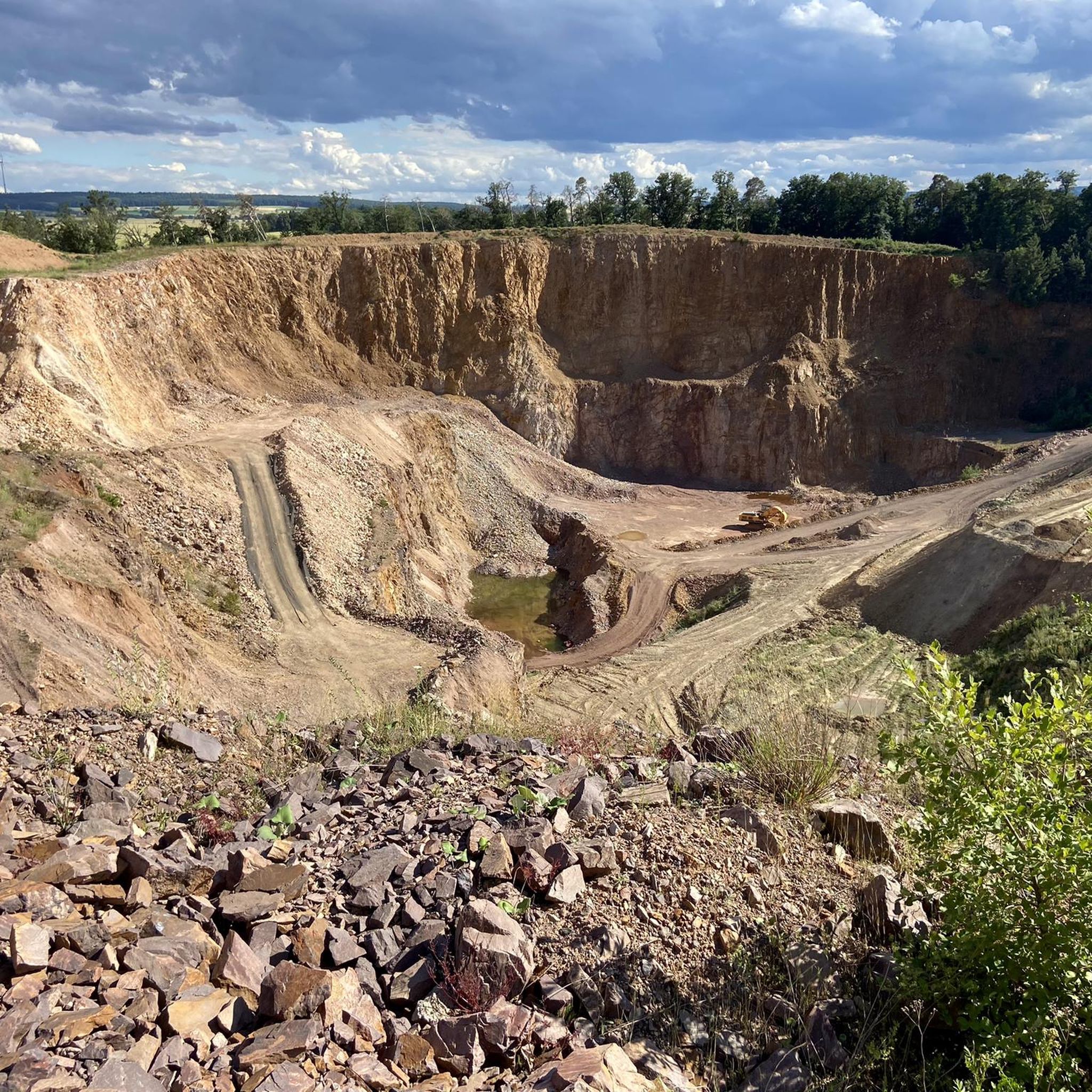
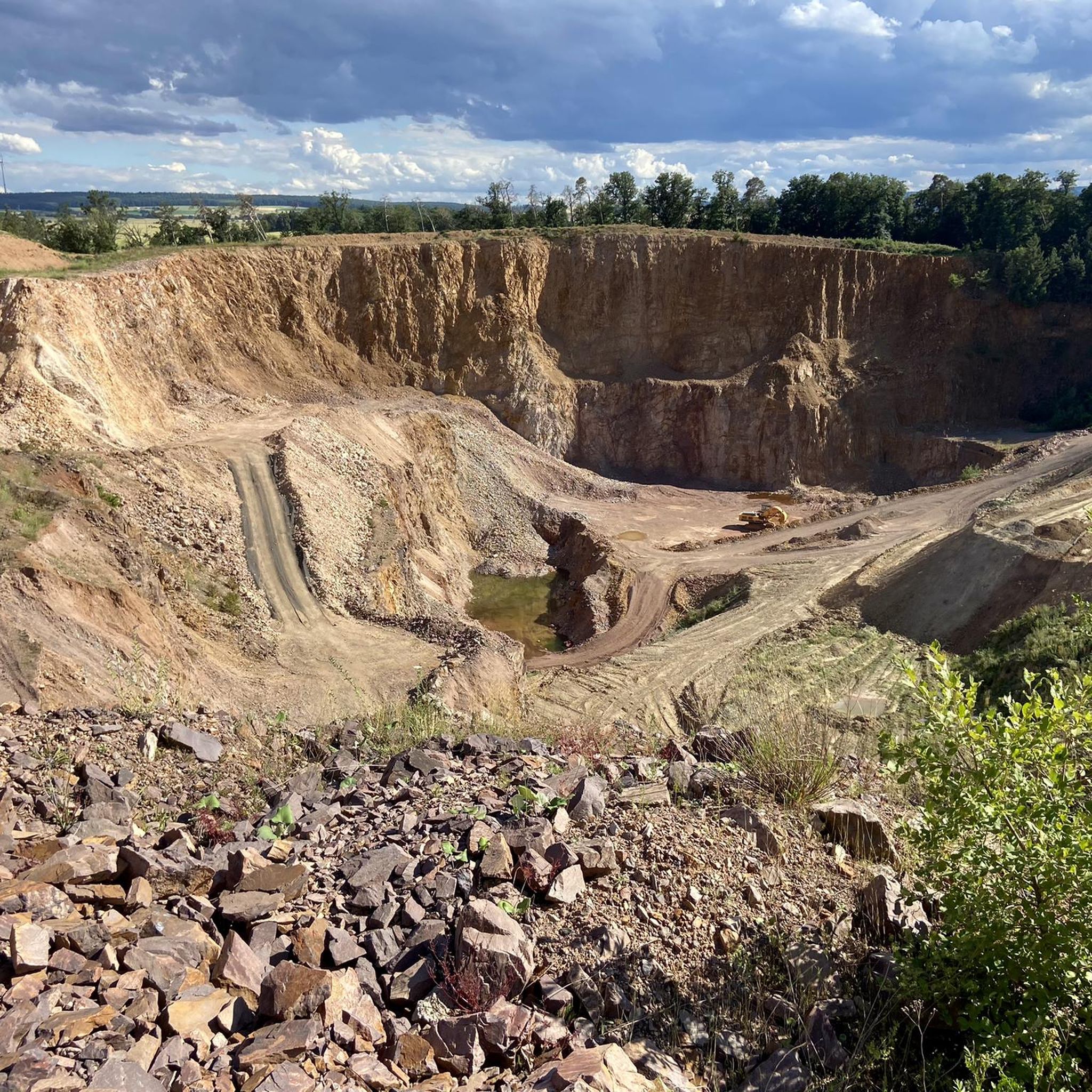

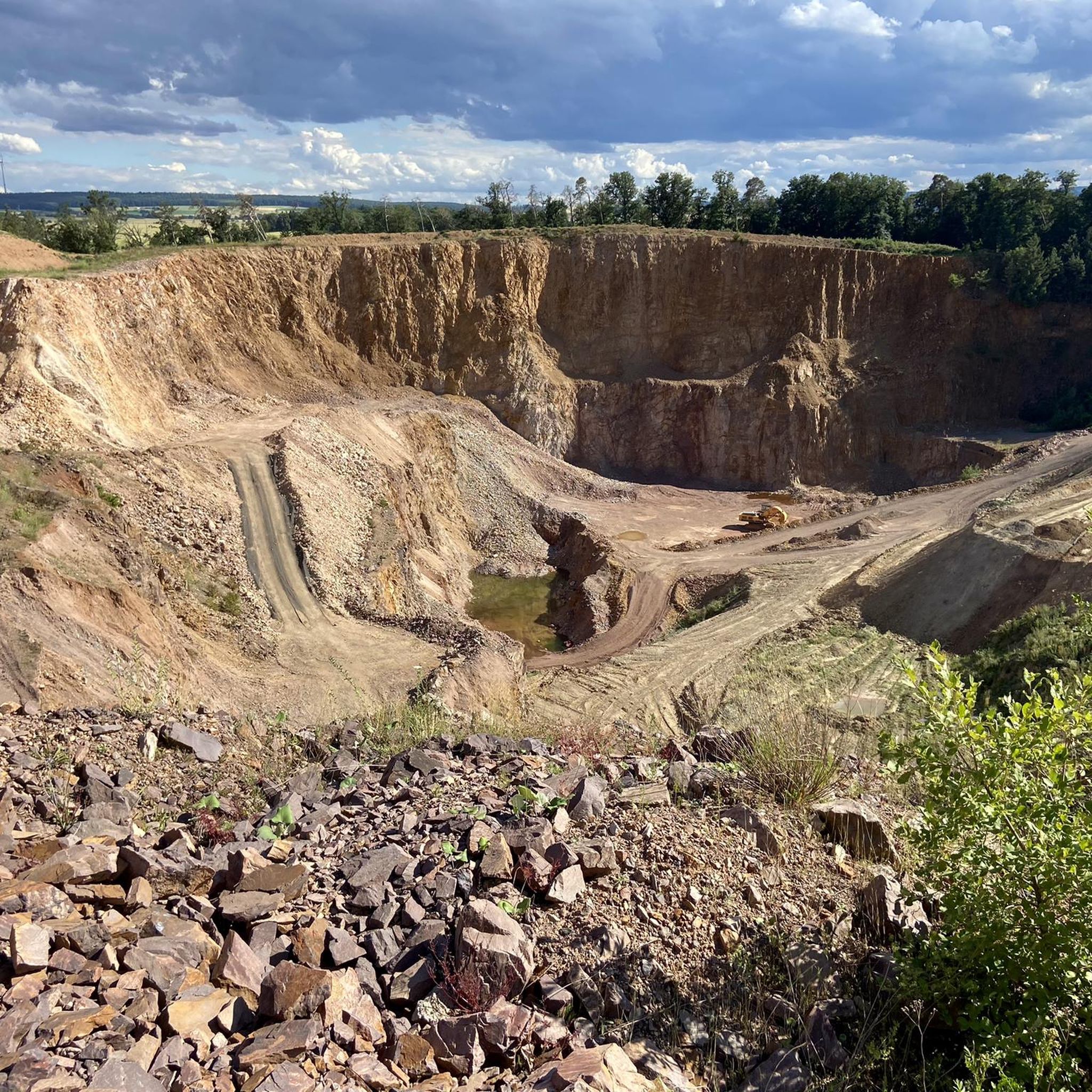
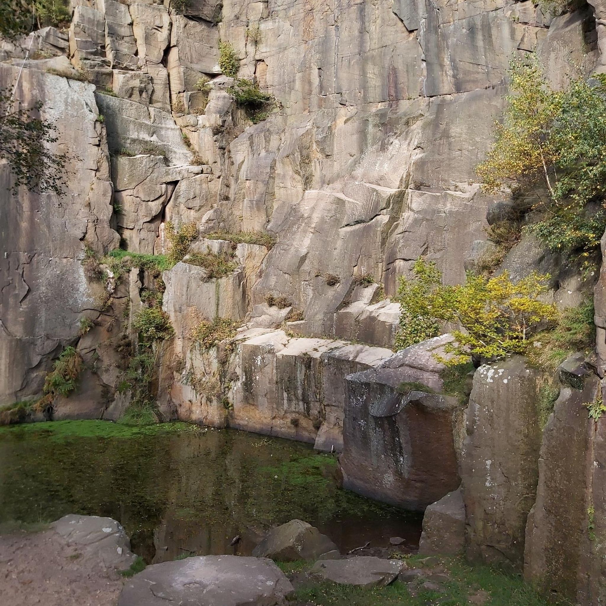
Tips from the Community

The district boundaries of Schönborn and Hahnstätten meet on the Ergenstein. There used to be a lookout point here, but it is now overgrown. The Hahnstätter Heimat- und Verschönerungsverein has erected a shelter at this spot. Immediately next to the hut, a path leads to the boundary stone, which is about 150 meters away. There are also other paths that lead to the boundary stone. It is best to look out for the small wooden arrows that are on the trees. http://www.jakupka.de/erg-hahn.htm
1
0

In good weather you have a wonderful view
1
1

There is a farm shop along the road. Even open 24 hours a day with the vending machine
1
1

Free ride for everyone. Here you can drive at a decent pace.
1
1

Great view from up here!
3
0

That's true.
3
0

Nice road for everyone! MTB, inline skates, BobbyCar 👌
1
1

The Ergenstein is a 419.7 m above sea level. NHN high elevation in the German low mountain range Taunus. It is located near Schönborn in the Rhein-Lahn district of Rhineland-Palatinate
0
0
Frequently Asked Questions
What are the highest points or peaks in the Hünfelden area?
While Hünfelden itself features a hilly landscape with elevations up to 398 meters, the broader Limburg-Weilburg district is home to the Kuhbett, which is the highest point at 526 meters. Within Hünfelden, the Ergenstein Summit reaches 419 meters and is a notable trigonometric point in the Taunus low mountain range.
Are there easy hiking trails around Hünfelden's elevated areas?
Yes, Hünfelden offers several options for easy hikes. The View from the Mensfelder Kopf is part of a nature reserve with trails suitable for leisurely walks. You can find more easy routes in the area by exploring the Easy hikes around Hünfelden guide.
What kind of natural features can I expect to see on the peaks around Hünfelden?
The elevated areas around Hünfelden are characterized by scenic viewpoints, forests, and nature reserves. You can enjoy panoramic views from spots like the View from the Mensfelder Kopf, which offers vistas towards Limburg and Feldberg, or the View of the Lahn River bend from Gabelstein, known for its rock edges and river views.
Are there family-friendly mountain hikes in Hünfelden?
Absolutely. The View from the Mensfelder Kopf is categorized as family-friendly, offering easy hikes within a nature reserve. Another accessible option is the Hohe Straße with a view of Feldberg, which is also suitable for families.
What are the best viewpoints in the Hünfelden area?
For stunning vistas, consider visiting the View from the Mensfelder Kopf, which provides wide views of Limburg and towards Feldberg. Another excellent spot is the View of the Lahn River bend from Gabelstein, offering unique perspectives of the Lahn River from rock edges.
What outdoor activities can I do near Hünfelden's elevated areas?
Beyond hiking, the region offers various outdoor activities. You can explore numerous running trails, with options ranging from moderate to difficult, as detailed in the Running Trails around Hünfelden guide. The area is also great for nature observation and enjoying the tranquility of the Hessian countryside.
Are there challenging hikes around Hünfelden's peaks?
Yes, for those seeking more challenging routes, the area provides options. The View of the Lahn River bend from Gabelstein is noted for its challenging terrain. You can find a range of difficulties, including difficult routes, in the Hiking around Hünfelden guide.
What is the best season for hiking in the Hünfelden area?
The Taunus landscape around Hünfelden, known for its forests and scenic views, is enjoyable throughout much of the year. Spring and autumn offer pleasant temperatures and beautiful foliage, while summer provides longer daylight hours. Be prepared for varying trail conditions, as some paths may be muddy or have fallen trees, especially after rain.
What should I wear for hiking in the Hünfelden mountains?
Given the varying trail conditions and the hilly, forested terrain, it's advisable to wear appropriate hiking footwear. Layered clothing is recommended to adapt to changing weather, and waterproof gear can be useful, especially during wetter seasons. Always check the local weather forecast before heading out.
Where can I find information about circular walks near Hünfelden?
Many of the hiking routes around Hünfelden are designed as loops. For example, the 'View from the Mensfelder Kopf – View of the Limburger Basin loop from Mensfelden' is a popular option. You can explore various circular routes in the Hiking around Hünfelden guide and the Easy hikes around Hünfelden guide.
What do visitors enjoy most about the peaks and elevated areas around Hünfelden?
Visitors particularly appreciate the scenic beauty and recreational opportunities. The area is known for its accessible trails, tranquil forests, and rewarding viewpoints like the View from the Mensfelder Kopf. The komoot community has shared over 700 photos and given more than 600 upvotes, highlighting the region's appeal for nature enthusiasts and hikers.
Is there a historical lookout point or shelter on any of the peaks?
Yes, the Ergenstein Summit, at 419 meters, is known for its historical lookout point, though it is now overgrown. A shelter has been erected there by the Hahnstätter Heimat- und Verschönerungsverein, providing a resting spot for hikers.
Most popular routes around Hünfelden
Most popular attractions around Hünfelden

Get inspired with the komoot mobile app


Explore more
See even more amazing summits around Hünfelden with these guides:
