The best road cycling routes around gmina Opatów
19
riders
5
rides
Road cycling routes around Gmina Opatów traverse the varied landscapes of the Lesser Polish Upland in south-central Poland. The region features rolling hills, river valleys, and elevations typically between 240 and 330 meters, offering diverse terrain for cyclists. Notable natural features include picturesque loess ravines and some forested sections, providing varied scenery along the routes. This topography allows for both gentle rides and more demanding ascents.
Best road cycling routes around gmina Opatów
- The most popular road cycling route is…
Last updated: October 21, 2026
6
riders
66.1km
02:40
270m
270m
Moderate road ride. Good fitness required. Some segments of this route may be unpaved and difficult to ride.
4
riders
29.4km
01:14
90m
90m
Moderate road ride. Great for any fitness level. Some segments of this route may be unpaved and difficult to ride.

4
riders
23.1km
00:55
70m
70m
Easy road ride. Great for any fitness level. Mostly well-paved surfaces and easy to ride.
3
riders
13.7km
00:34
40m
40m
Easy road ride. Great for any fitness level. Mostly well-paved surfaces and easy to ride.
2
riders
18.7km
00:51
60m
60m
Easy road ride. Great for any fitness level. Mostly well-paved surfaces and easy to ride.
Our route recommendations are based on thousands of hikes, rides, and runs completed by other people on komoot.
Start today with a free account
Your next adventure awaits.
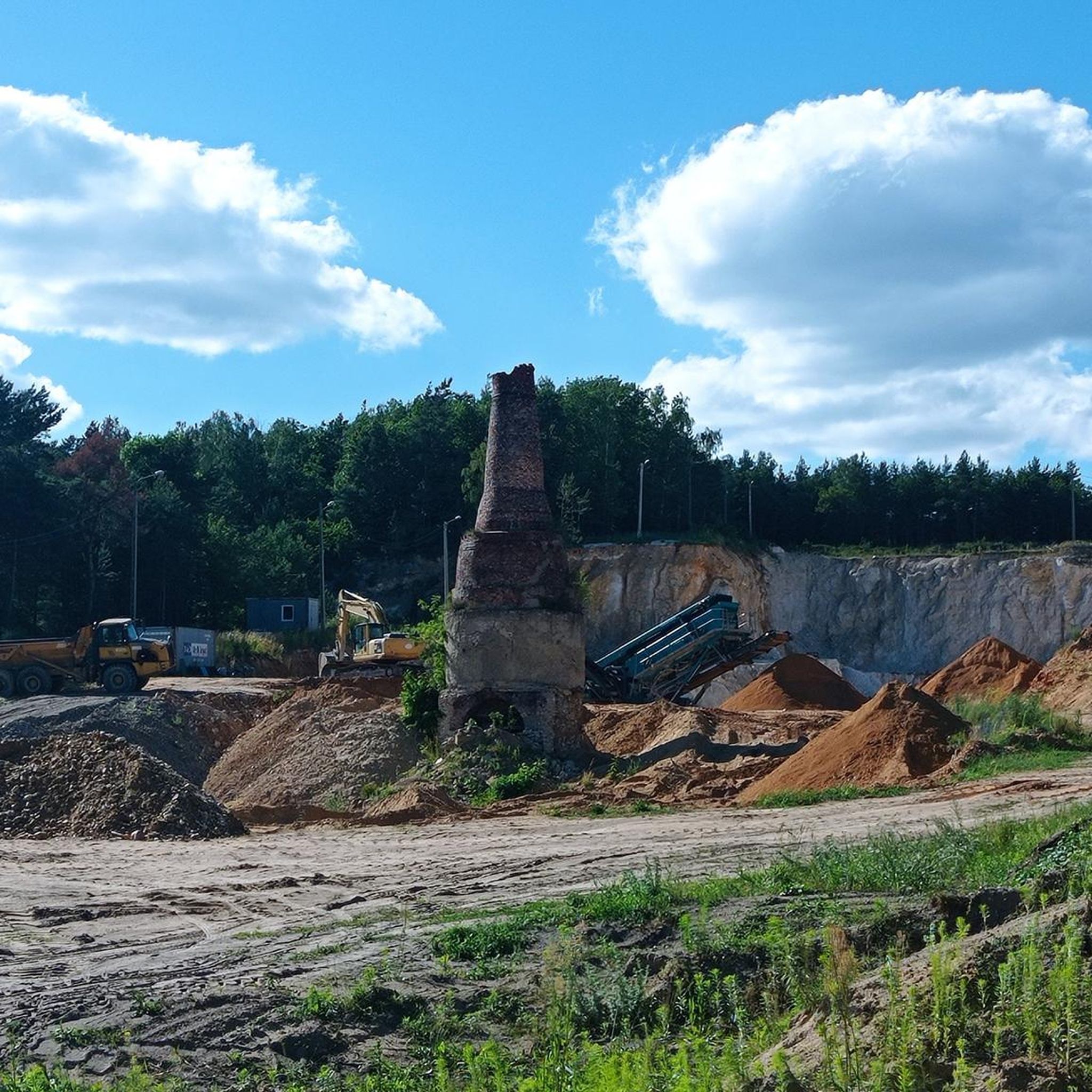
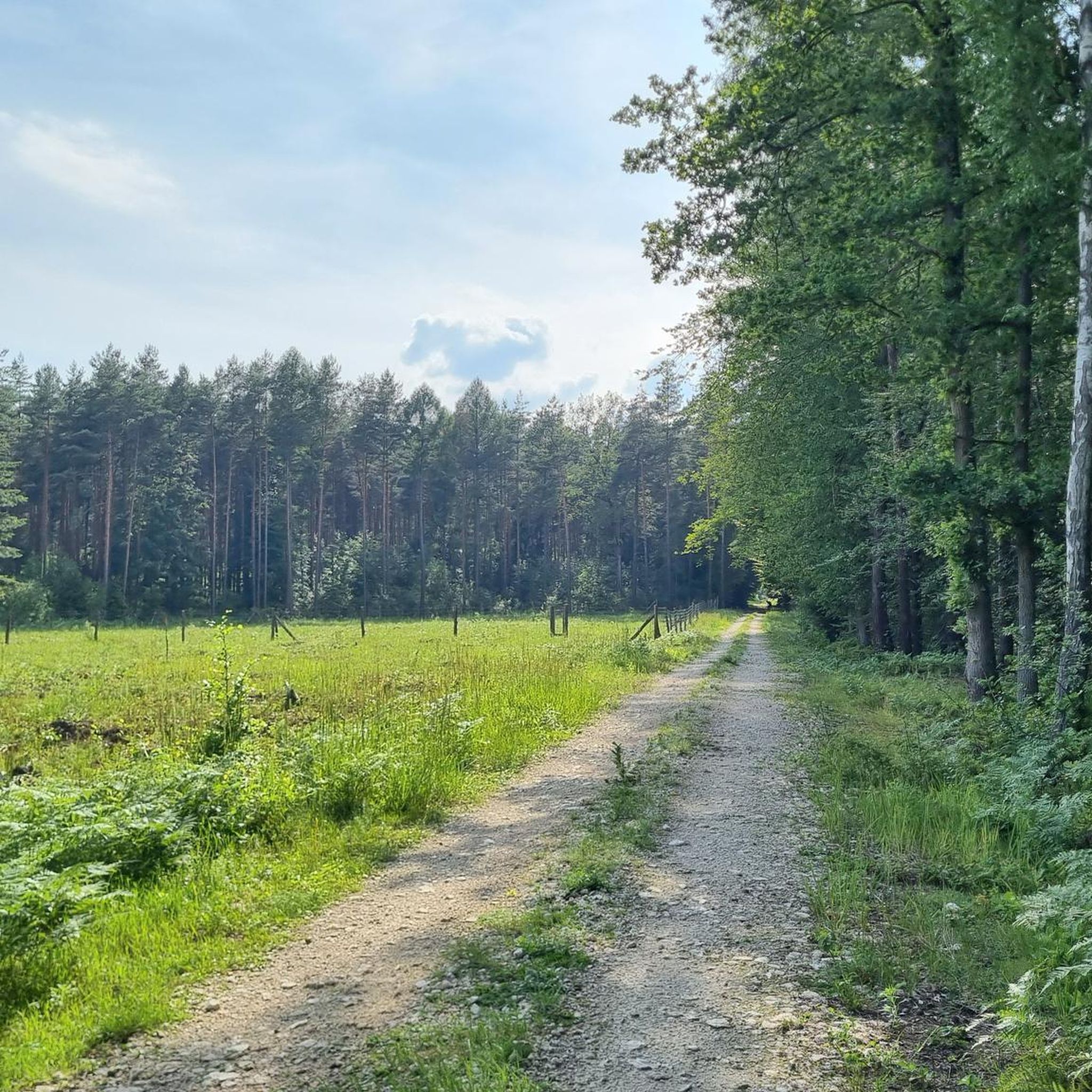


Tips from the Community

Market square in Olesno. You can drink coffee and eat ice cream. Nice view of the church. Unfortunately, the original buildings around the market square have not survived.
0
0

The ascent and descent are smooth as a table - I recommend it!
0
0
Frequently Asked Questions
How many road cycling routes are available in gmina Opatów?
There are currently 7 road cycling routes documented on komoot for gmina Opatów, offering a variety of experiences for different skill levels.
What is the typical terrain and elevation like for road cycling in gmina Opatów?
Road cycling in gmina Opatów features varied terrain, from the undulating Sandomierz Upland to the western fringes of the Świętokrzyskie Mountains. You'll encounter rolling hills and river valleys, with elevations typically ranging between 240 and 330 meters. This provides a mix of gentle slopes and more challenging ascents, often along mostly paved surfaces.
Are there family-friendly road cycling routes in gmina Opatów?
Yes, gmina Opatów offers several routes suitable for families. For an easier ride, consider the Ostrowy nad Okszą Lake loop from Libidza, which is 44.9 km with minimal elevation gain, or the shorter Staw na Kostrzynie loop from Krzepice at 23.1 km.
What historical landmarks or natural features can I see along the road cycling routes?
Gmina Opatów is rich in historical and natural sights. You can explore the dramatic 17th-century Krzyżtopór Castle Ruins, visit the historic Collegiate Church of St. Martin, or pass through picturesque loess ravines and river valleys, notably along the Opatówka River. The Jasna Gora Monastery – Blachownia Lake loop from Kłobuck combines cultural landmarks with natural lake scenery.
Are there any challenging road cycling routes for experienced riders?
While there are no routes classified as 'difficult' in the guide, several moderate routes offer a good challenge. The Jasna Gora Monastery – Blachownia Lake loop from Kłobuck, at 70 km with over 300 meters of elevation gain, provides a more demanding ride. The Brand new asphalt – Olesno Market Square loop from Biedronka is another moderate option at 66 km.
What is the best time of year for road cycling in gmina Opatów?
The best time for road cycling in gmina Opatów is typically from spring through early autumn (April to October) when the weather is mild and the landscapes are most vibrant. This period offers comfortable temperatures and less chance of adverse weather conditions, making for enjoyable rides through agricultural areas and forested sections.
Are there places to stop for refreshments or food along the routes?
Yes, the Opatów Market Square is a central point with restaurants and cafes, perfect for a break. Many routes also pass through local towns where you can find places to refuel. For example, the Market Square in Przystajń loop from Krzepice takes you through a market square, offering opportunities for refreshments.
What are the typical lengths of road cycling routes in gmina Opatów?
Route lengths vary to suit different preferences. You can find shorter rides like the Staw na Kostrzynie loop from Krzepice at 23.1 km, moderate options around 40-70 km such as the Ostrowy nad Okszą Lake loop from Libidza (44.9 km), and longer routes like the Jasna Gora Monastery – Blachownia Lake loop from Kłobuck at 70 km.
Are there any specific viewpoints or scenic spots recommended for cyclists?
The region is known for its picturesque scenery, including loess ravines and river valleys, particularly along the Opatówka River. Routes often traverse a blend of agricultural areas and forested sections, providing diverse and engaging natural backdrops. The Ostrowy nad Okszą Lake loop from Libidza offers scenic views around the lake, while the Jasna Gora Monastery – Blachownia Lake loop from Kłobuck provides beautiful lake scenery combined with cultural sights.
What do other road cyclists enjoy most about cycling in gmina Opatów?
The komoot community highly rates the road cycling experience in gmina Opatów, with an average score of 5.0 stars. Cyclists often praise the varied terrain, which includes rolling hills and river valleys, and the blend of natural beauty with historical landmarks like the Collegiate Church of St. Martin. The availability of both easy and moderate routes also contributes to its appeal.
Most popular routes around gmina Opatów
Most popular attractions around gmina Opatów

Get inspired with the komoot mobile app


Explore more
Browse the best Road cycling routes in other regions.
