The 9 Most Amazing Peaks around Oberlungwitz
Best mountain peaks around Oberlungwitz are found in a region situated at an elevation of 350 meters. While not characterized by towering peaks, the area offers notable elevated points and attractions with scenic views. The town's location provides access to the broader Ore Mountains region, known for its natural beauty. Komoot identifies several elevated points in the vicinity popular for outdoor activities.
Best mountain peaks around Oberlungwitz
- The most popular mountain peaks is Maria Josepha Tower (Totenstein) Observation Tower,…
Last updated: August 31, 2026
Maria Josepha Tower (Totenstein) Observation Tower
Highlight • Viewpoint
Translated by Google •
Tip by

Tabakstanne
Highlight • Summit
Translated by Google •
Tip by

Sign up now to discover places like this
Get recommendations on the best single tracks, peaks, & plenty of other exciting outdoor places.
Sign up for free
Leuchtmoos Cave at Totenstein
Highlight • Cave
Translated by Google •
Tip by

Geodetic Measurement Pillar Pfaffenberg
Highlight • Monument
Translated by Google •
Tip by

View over the Altenburg and Leipzig regions from Langenberger Höhe
Highlight • Viewpoint
Translated by Google •
Tip by

Sign up for free to discover even more peaks around Oberlungwitz.
Sign up for free
Already have an account?
Start today with a free account
Your next adventure awaits.
Login or Signup
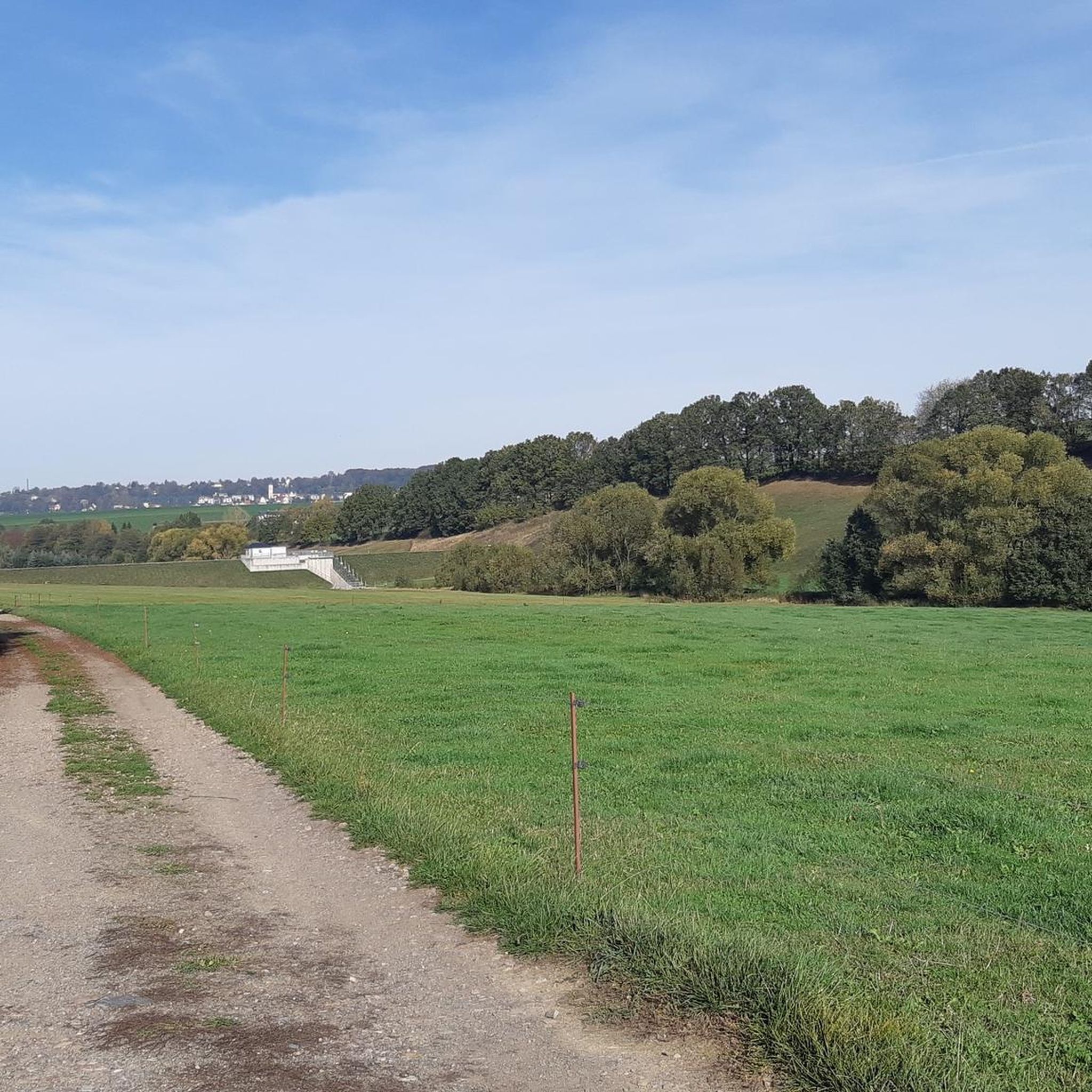
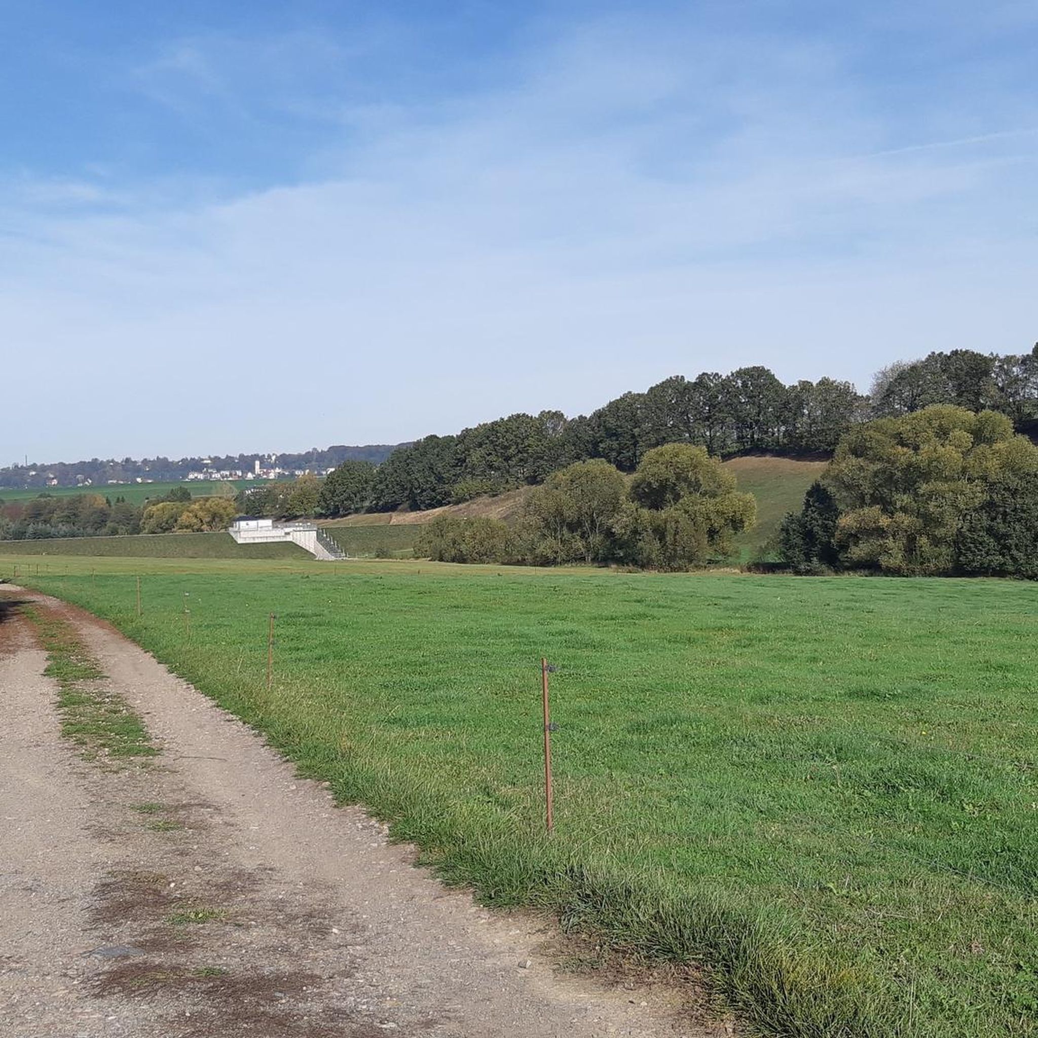
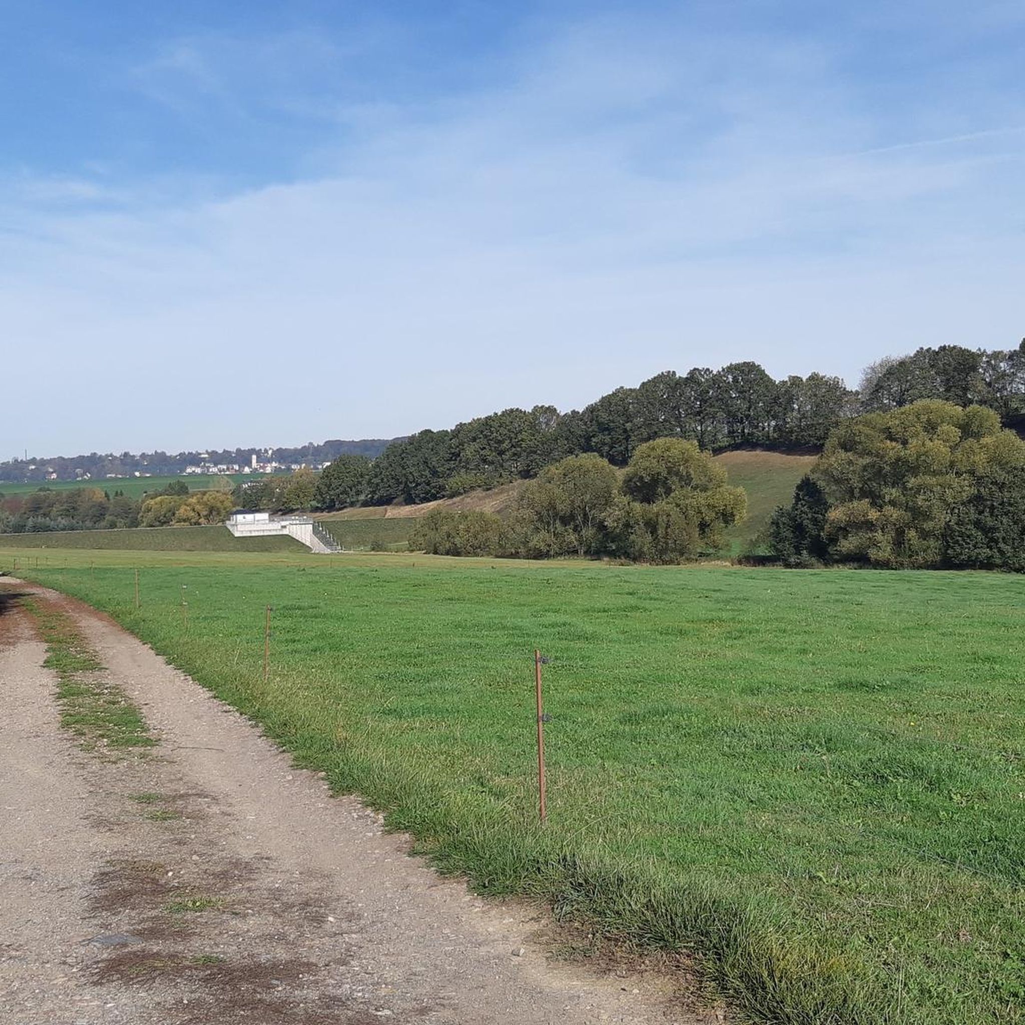
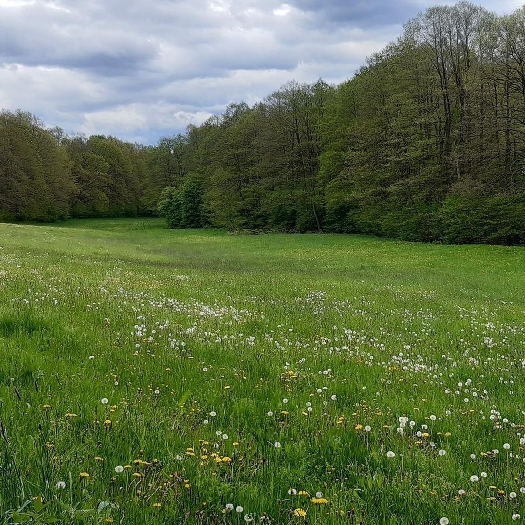

Tips from the Community

Very nice tour and lots of great views.
0
0


How did the name "Tabakstanne" come about? Visit the place and find out!
0
0

It is simply a natural cave and not an entrance
1
0

In the Middle Ages, people searched for ore here, but apparently nothing was found. The name of the hill, Totenstein (Dead Stone), probably comes from the dead rock. Today, the protected and rare luminous moss grows in the tunnels.
0
1

At 561.9 m, the Tabakstanne is the highest point in Thalheim and also the highest point on the B 180 between Thalheim and Stollberg. The name Tabakstanne originally comes from a fir tree that grew there, but it was destroyed by lightning in 1911. There was supposedly always a lighter in a hollow in the tree, so the point where the iron road crosses today's B 180 became a resting place for carters. At the Tabakstanne there is now an education and leisure center of the same name, which was previously used as a restaurant for excursions. (https://de.m.wikipedia.org/wiki/Tabakstanne ), (https://www.gruppenhaus.de/bildungs-und-freizeitzentrum-tabakstanne-thalheim-hs7015.html )
2
0
great corner, always worth a trip
1
0
Frequently Asked Questions
What are the most notable elevated points and viewpoints around Oberlungwitz?
The region around Oberlungwitz, while not having towering peaks, offers several significant elevated points and viewpoints. The most popular is the Maria Josepha Tower (Totenstein) Observation Tower, which provides expansive views extending to the Ore Mountains and as far as Leipzig on clear days. Another must-see is the View over the Altenburg and Leipzig regions from Langenberger Höhe, the highest elevation north of the A4 federal highway in Saxony at 484 meters.
Are there any true summits or highest points in the immediate vicinity of Oberlungwitz?
Yes, one notable summit is Tabakstanne. At 561.9 meters, it is the highest point in Thalheim and on the B 180 between Thalheim and Stollberg. It's a popular spot for hikers and offers historical context.
What kind of views can I expect from the Maria Josepha Tower?
From the Maria Josepha Tower, you can enjoy panoramic vistas. On clear days, the views extend southwards to the ridges of the Ore Mountains, including visible peaks like Fichtelberg, Keilberg, and Auersberg. To the north, you can see as far as Leipzig, with the Battle of the Nations Monument often visible.
Are there family-friendly elevated spots or activities around Oberlungwitz?
Yes, several spots are considered family-friendly. The Tabakstanne summit is noted as family-friendly and has an education and leisure center. The Geodetic Measurement Pillar Pfaffenberg and the View over the Altenburg and Leipzig regions from Langenberger Höhe are also suitable for families, offering great views and interesting historical information.
What historical or unique natural features can be found on these elevated points?
The Maria Josepha Tower itself is a rebuilt historical observation tower. Near the Totenstein, you can find the Leuchtmoos Cave at Totenstein, known for its rare luminous moss and local legends about Sorbian treasures. The Geodetic Measurement Pillar Pfaffenberg marks a significant historical site from the Royal Saxon Triangulation, considered Europe's most accurate surveying network at the time.
What outdoor activities, such as hiking, can I do near these mountain peaks?
The region offers various outdoor activities. For hiking, you can explore easy hikes around Oberlungwitz, including routes like the 'Shelter in the Hirschgrund – Hollow Oak by the Pond loop' (4.1 km) or the 'View of Hohenstein-Ernstthal – Gränitz Lime Tree loop' (4.9 km). There are also running trails and gravel biking routes available.
Are there easy hiking routes suitable for beginners or casual walkers?
Yes, there are several easy hiking routes. For example, the 'Shelter in the Hirschgrund – Hirschsprung Picnic Area loop' from Hohenstein-Ernstthal is 7.2 km and rated easy. Other easy options include the 'View of Hohenstein-Ernstthal – Gränitz Lime Tree loop' (4.9 km) and the 'Lungwitz Festival Grounds – Oberlungwitz Town Hall loop' (5.5 km), both starting from Oberlungwitz. You can find more options in the easy hikes around Oberlungwitz guide.
What do visitors enjoy most about the mountain peaks and elevated points in Oberlungwitz?
Visitors particularly appreciate the expansive and often far-reaching views from spots like the Maria Josepha Tower and Langenberger Höhe. The historical significance of sites like the Geodetic Measurement Pillar Pfaffenberg and the unique natural feature of the Leuchtmoos Cave also draw interest. Many enjoy these locations as destinations for hiking and cycling tours, offering a chance to recharge and connect with nature.
Is there parking available at any of these elevated points?
Yes, parking is available at some locations. For instance, the Tabakstanne summit is noted to have parking facilities, making it convenient for visitors arriving by car.
What is the highest elevation north of the A4 federal highway in Saxony?
The Langenberger Höhe, at 484 meters, holds the distinction of being the highest elevation north of the A4 federal highway in Saxony. It offers extensive views into the Land of Leipzig.
Can I find challenging routes for running or mountain biking near Oberlungwitz?
Yes, for those seeking more challenging activities, there are options. The running trails around Oberlungwitz include a 'Historic Railway Signal loop' from Hohenstein-Ernstthal which is 17 km and rated difficult. For gravel biking, routes like the 'Thierbach Suspension Bridge – Rochsburg Castle loop' (55.6 km) are also rated difficult, offering a good challenge. You can find more details in the respective guides.
Most popular routes around Oberlungwitz
Most popular attractions around Oberlungwitz

Get inspired with the komoot mobile app


Explore more
See even more amazing summits around Oberlungwitz with these guides:
