The best MTB trails around Gontim
5.0
(2)
64
riders
4
rides
Mountain biking around Gontim offers routes through the elevated landscapes of northern Portugal, within the municipality of Fafe. The region is characterized by its mountainous terrain, including the granite nature of Alto de Morgaír, the highest point in Fafe at 895.95 meters. These features provide challenging ascents and descents for mountain bikers, with panoramic views of surrounding valleys and mountain ranges. The area's natural features include varied terrain, from dirt roads to potentially rocky sections, suitable for diverse mountain biking…
Last updated: July 4, 2026
20
riders
44.6km
04:19
1,240m
1,240m
Hard mountain bike ride. Very good fitness required. Suitable for all skill levels.
5.0
(1)
15
riders
44.6km
04:05
1,120m
1,120m
Hard mountain bike ride. Very good fitness required. Suitable for all skill levels.

Sign up for free
5.0
(1)
10
riders
43.0km
03:40
1,010m
1,010m
Hard mountain bike ride. Very good fitness required. Suitable for all skill levels.
9
riders
62.4km
06:03
1,650m
1,650m
Hard mountain bike ride. Very good fitness required. Suitable for all skill levels.
5
riders
34.6km
02:56
780m
770m
Moderate mountain bike ride. Good fitness required. Suitable for all skill levels.
Our route recommendations are based on thousands of hikes, rides, and runs completed by other people on komoot.
Start today with a free account
Your next adventure awaits.
Login or Signup
Popular around Gontim


Tips from the Community

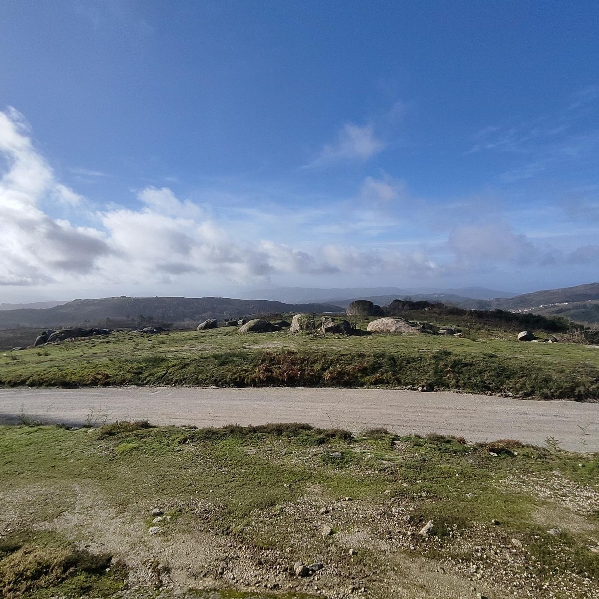
ideal if you are coming from the Serzedelo area towards Calvos
0
0
Frequently Asked Questions
What is the general difficulty level of mountain bike trails in Gontim?
Mountain biking around Gontim is primarily characterized by challenging routes. Out of the available trails, three are rated as difficult, and one is moderate. The region's mountainous terrain, including the ascent to Alto de Morgaír, provides strenuous climbs and descents, making it suitable for experienced riders.
What kind of terrain can I expect on Gontim's mountain bike trails?
The terrain around Gontim is diverse, reflecting the granite nature of the Fafe Basto mountains. You can expect a mix of dirt roads, particularly those leading to the summit of Alto de Morgaír, and potentially rocky sections. These varied surfaces offer a dynamic experience for mountain bikers.
Are there any notable landmarks or viewpoints along the mountain bike trails in Gontim?
Yes, the most prominent natural landmark is the Alto de Morgaír, the highest point in the municipality of Fafe. From its summit, you can enjoy expansive panoramic views of the Ave and Tâmega valleys, as well as the Amarela, Gerês, Cabreira, Alvão, Marão, and Montemuro mountain ranges. Many routes will offer glimpses of these stunning vistas.
What do other mountain bikers say about the trails in Gontim?
The mountain bike trails in Gontim are highly rated by the komoot community, with an average score of 5.0 stars from 2 reviews. Over 60 mountain bikers have used komoot to explore the varied terrain, often praising the challenging climbs and rewarding panoramic views.
Are there any loop mountain bike trails available in Gontim?
Yes, all the mountain bike routes listed for Gontim are designed as loops. For example, you can explore the Albufeira do Oural loop from Cabeceiras de Basto or the Monument to Justice of Fafe – Fafe Wind Farm loop from Fafe, both offering circular journeys through the region's landscapes.
What is the best time of year to go mountain biking in Gontim?
While specific seasonal recommendations are not detailed, the mountainous nature of Gontim suggests that spring and autumn would likely offer the most pleasant conditions for mountain biking, with milder temperatures and potentially less rainfall than winter. Summer can be hot, especially on exposed climbs.
Are there any family-friendly mountain bike trails in Gontim?
Given that most routes in Gontim are rated as difficult, and the terrain includes challenging climbs and varied surfaces, truly family-friendly mountain bike trails suitable for young children or beginners are limited. The area is more geared towards experienced riders seeking a challenge.
Can I bring my dog on the mountain bike trails in Gontim?
While there are no specific regulations mentioned regarding dogs on trails, it's generally advisable to keep dogs on a leash, especially in natural areas, to protect wildlife and ensure the safety of other trail users. Always ensure your dog is fit enough for the challenging terrain and carry enough water for them.
Is there parking available near the mountain bike trails in Gontim?
While specific parking areas are not detailed, routes often start from towns or villages like Fafe or Cabeceiras de Basto, where public parking facilities would typically be available. It's recommended to check the starting point of your chosen route for the most convenient parking options.
How can I access Gontim's mountain bike trails using public transport?
Information on direct public transport links specifically for mountain bikers to the trailheads in Gontim is limited. The region is more easily accessible by car, especially when transporting mountain bikes. For broader regional travel information, you might consult local transport authorities in Fafe.
Are there any cafes or pubs near the mountain bike trails in Gontim?
Gontim is a locality within the municipality of Fafe. While specific establishments directly on the trails are unlikely, you will find cafes and pubs in the nearby towns and villages such as Fafe or Cabeceiras de Basto, which serve as common starting points for many routes. These offer opportunities for refreshments before or after your ride.
What is the longest mountain bike trail in Gontim?
The longest mountain bike trail listed is the Casa da Torre loop from Cabeceiras de Basto, which spans 68.9 km (approximately 42.8 miles) and involves significant elevation gain, making it a demanding ride.
Most popular routes around Gontim

Get inspired with the komoot mobile app


Explore more
Browse the best MTB trails in other regions.
