The best MTB trails around Salvaterra Do Extremo
5.0
(3)
19
riders
4
rides
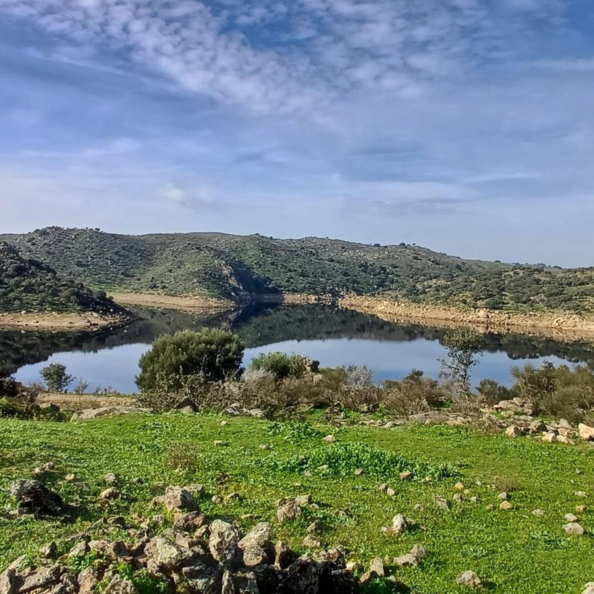
Mountain bike trails around Salvaterra Do Extremo traverse a landscape shaped by the International Tagus Natural Park and the UNESCO Geopark Naturtejo. The region features the dramatic Erges River canyon, carved through granite massifs, and rolling golden hillsides dotted with ancient cork and holm oak pastures. Riders can expect varied terrain, including historical paths and natural riverine environments. The area's geology includes Neoproterozoic sedimentary records, adding to its unique character.
Best mountain bike trails around Salvaterra Do Extremo
- The most…
Last updated: October 11, 2026
5.0
(2)
8
riders
31.6km
02:32
390m
400m
Moderate mountain bike ride. Good fitness required. Suitable for all skill levels.
5.0
(1)
7
riders
46.9km
03:58
560m
560m
Moderate mountain bike ride. Good fitness required. Advanced riding skills necessary.

2
riders
41.1km
02:59
650m
650m
Moderate mountain bike ride. Good fitness required. Suitable for all skill levels.
2
riders
48.0km
03:08
540m
540m
Moderate mountain bike ride. Good fitness required. Suitable for all skill levels.
Our route recommendations are based on thousands of hikes, rides, and runs completed by other people on komoot.
Start today with a free account
Your next adventure awaits.
Popular around Salvaterra Do Extremo

Tips from the Community

The Church of Santiago in Estorninos, a district of the municipality of Alcántara, in the province of Cáceres, Autonomous Community of Extremadura, Spain, is a building with a rich history. Although its origin dates back to the 15th century, it has undergone modifications over time.
2
0
On the Spanish side, the bridge is located in the municipality of Alcántara in the province of Cáceres. It is reached via the regional highway EX-207 from the nearby town of Piedras Albas. On the Portuguese side, it connects with a local road to reach the town of Segura, from which this bridge takes its name. It was built in the Roman province of Lusitania to give continuity to the Roman road that connected Norba Caesarina (on the Via de la Plata) with the civitas Egitania (Idanha-a-Velha, Portugal) and with Bracara Augusta (Braga, Portugal), in order to save the Erjas river. This river marks the border line between Spain and Portugal, and the bridge serves as an international crossing between both countries.
9
0
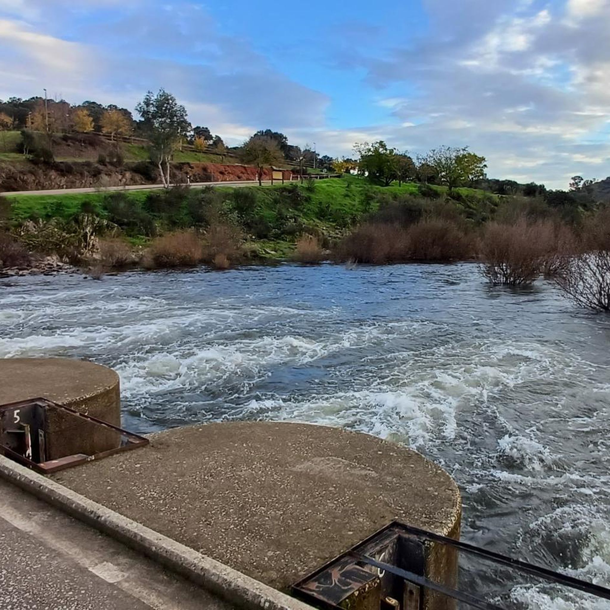
The Cañada Real de Gata is a short-distance hiking route that offers great scenic value as it passes entirely through the surroundings of the Tajo Internacional Natural Park in Extremadura.
7
0
Zarza la Mayor is a Spanish town and municipality, located in the province of Cáceres, in the autonomous community of Extremadura. It belongs to the judicial district of Cáceres and is the westernmost town in the community of Rivera de Fresnedosa. Furthermore, it is the only municipality in said community that has a border with Portugal, located four kilometers in a straight line from Salvaterra do Extremo.
10
0
Piedras Albas is a Spanish municipality located in the province of Cáceres, in the autonomous community of Extremadura. It is located 74 km west of the provincial capital and 7 km from the border with Portugal. Surrounded by the municipality of Alcántara, this town has an interesting history. The name “Piedras Albas” probably refers to the white quartzite ridges present in its surroundings. In the past, there was a border post next to the Roman bridge of Segura over the Erjas river, and a customs office in the same town.
5
0
Small town in the municipality of Alcántara.
12
0

View of the small town of Piedras Albas. The rural town sits on the old commercial and livestock route between Estorninos and Zarza la Mayor called Cañada Real de Gata.
2
0
The walk reaches Estorninos and the beautiful stone Church of Santiago Apóstol. The small town is the head of the Cañada Real de Gata route.
3
0
Frequently Asked Questions
What kind of mountain biking terrain can I expect around Salvaterra Do Extremo?
The region around Salvaterra Do Extremo, situated within the International Tagus Natural Park and UNESCO Geopark Naturtejo, offers diverse and challenging terrain. You can expect rocky sections, steep climbs, and descents, particularly around the Erges River canyon. The landscape features golden hillsides, ancient cork oaks, and holm oak pastures, providing a mix of natural surfaces.
Are there any circular mountain bike routes available?
Yes, all the mountain bike routes in this guide are circular. For example, you can explore the Cañada Real de Gata loop from Zarza la Mayor, which covers over 31 km, or the longer Cañada Real de Gata – View of Piedras Albas loop from Piedras Albas, spanning nearly 47 km.
What is the difficulty level of mountain bike trails in Salvaterra Do Extremo?
All the mountain bike trails featured in this guide are rated as moderate difficulty. They typically involve significant elevation changes and distances, making them suitable for riders with some experience. For instance, the Cañada Real de Gata – Segura International Bridge loop from Piedras Albas includes over 640 meters of ascent.
What are some notable landmarks or attractions I can see while mountain biking?
The routes often pass by significant historical and natural landmarks. You can cycle past the ancient Segura International Bridge, a Roman-era structure, or catch views of the impressive Peñafiel Castle of Zarza la Mayor. The region also features geological sites like Peña Buraca (Canchal de los Ojos) and Medieval Tombs.
What is the best time of year for mountain biking in Salvaterra Do Extremo?
The best time for mountain biking in Salvaterra Do Extremo is typically during spring (March to May) and autumn (September to November). During these seasons, the weather is generally milder, with pleasant temperatures and less extreme heat than the summer months, making longer rides more enjoyable. Winter can also be suitable, though some trails might be wet.
Are there any long-distance mountain bike routes in the area?
Yes, several routes offer longer distances for more extended rides. The Weir on the Border River loop from Zarza la Mayor is nearly 48 km long, and the Cañada Real de Gata – View of Piedras Albas loop from Piedras Albas also stretches for almost 47 km, providing substantial rides through the landscape.
What do other mountain bikers say about the trails in Salvaterra Do Extremo?
The mountain bike trails around Salvaterra Do Extremo are highly regarded by the komoot community, with an average rating of 5.0 stars based on 6 reviews. Riders often praise the scenic beauty, the challenging yet rewarding terrain, and the opportunity to explore a rich natural and historical landscape.
Can I expect to see any wildlife while mountain biking?
Yes, the region is known for its rich biodiversity, especially within the International Tagus Natural Park. Keep an eye out for a colony of Griffon vultures, which nest in the area, as well as other raptors like Egyptian vultures and Bonelli's eagles. The Erges River canyon is a particularly good spot for birdwatching.
Are there any facilities or places to relax near the mountain bike trails?
While the trails themselves are in natural settings, the nearby village of Salvaterra Do Extremo and surrounding areas offer amenities. For relaxation, you might consider visiting Termas de Monfortinho, known for its thermal facilities. The villages also have historical sites like the Plaza Mayor and Church of San Andrés Apóstol in Zarza la Mayor.
How many mountain bike routes are covered in this guide?
This guide features 6 distinct mountain bike routes around Salvaterra Do Extremo, all offering a moderate level of difficulty and providing a great way to explore the region's natural beauty and historical sites.
Are there any routes that cross into Spain?
Given Salvaterra Do Extremo's location directly on the border with Spain, some routes, such as the Cañada Real de Gata loop from Zarza la Mayor, will take you very close to or even across the border, offering a unique cross-country riding experience and views of Spanish landmarks like Peñafiel Castle.
Most popular routes around Salvaterra Do Extremo
Most popular attractions around Salvaterra Do Extremo

Get inspired with the komoot mobile app


Explore more
Browse the best MTB trails in other regions.
