The best running trails around São Gião
4.0
(3)
120
runners
12
runs
Jogging routes around São Gião traverse a diverse landscape in the North of Portugal, situated at an altitude of 704 meters in the Alva River Valley. This region is characterized by the confluence of the Serra da Estrela and Serra do Açor mountain ranges, offering varied terrain for runners. The area features the São Gião River Beach, verdant valleys, and established footpaths alongside irrigation channels, providing a mix of riverside and mountainous running experiences.
Best jogging routes around São Gião
…Last updated: October 11, 2026
8
runners
57.0km
08:32
2,990m
3,050m
This difficult 35.4-mile circular jogging route in Serra da Estrela Natural Park features 9815 feet of elevation gain and stunning mountain
46
runners
25.3km
04:00
1,470m
1,470m
Hard run. Very good fitness required. Mostly paved surfaces. Suitable for all skill levels.

18
runners
34.1km
05:00
1,610m
1,610m
Hard run. Very good fitness required. Mostly paved surfaces. Suitable for all skill levels.
11
runners
14.0km
02:09
720m
720m
Hard run. Very good fitness required. Mostly paved surfaces. Suitable for all skill levels.
7
runners
8.50km
00:55
120m
130m
Moderate run. Good fitness required. Mostly paved surfaces. Suitable for all skill levels.
Get access to more routes and recommendations from other explorers.
Already have an account?
Our route recommendations are based on thousands of hikes, rides, and runs completed by other people on komoot.
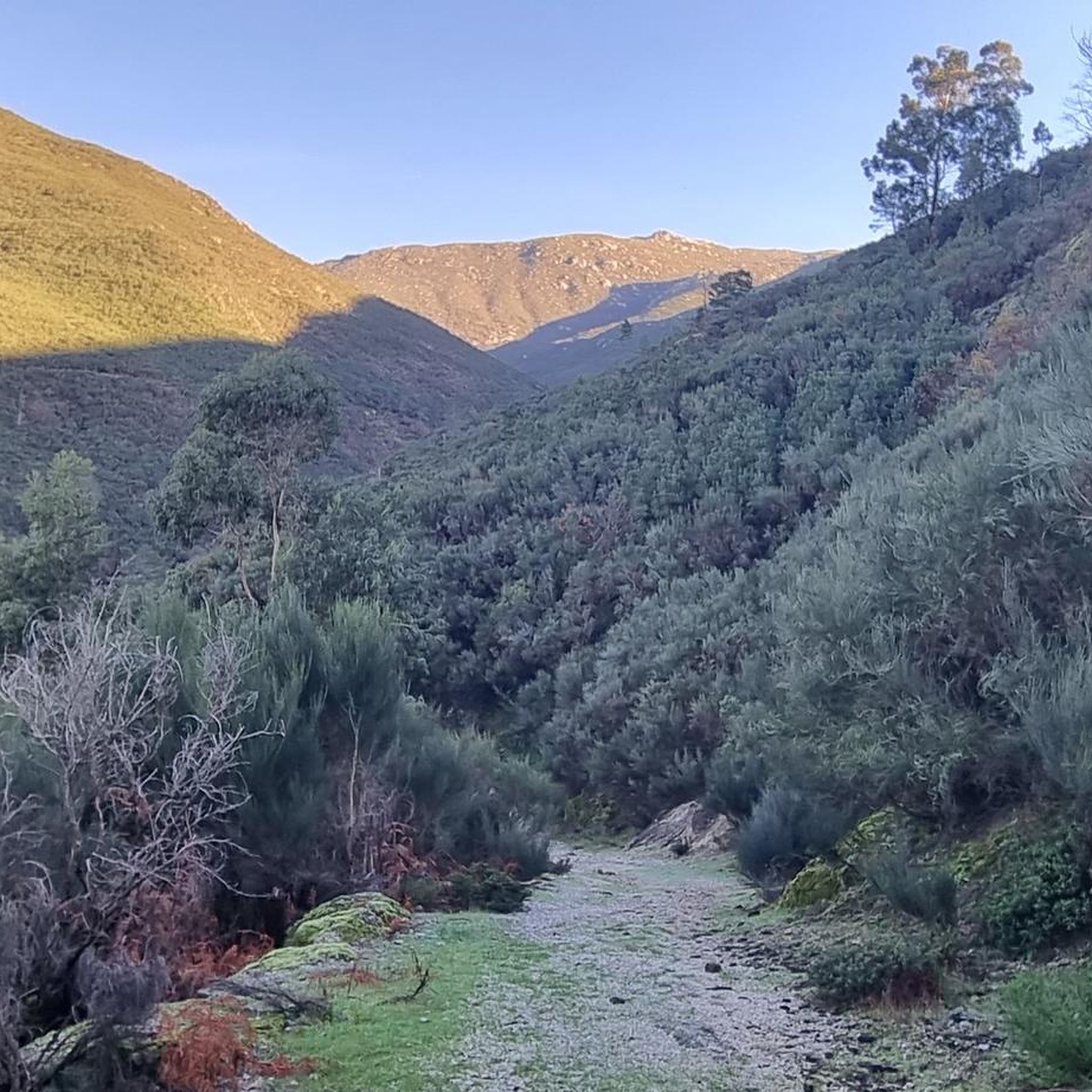
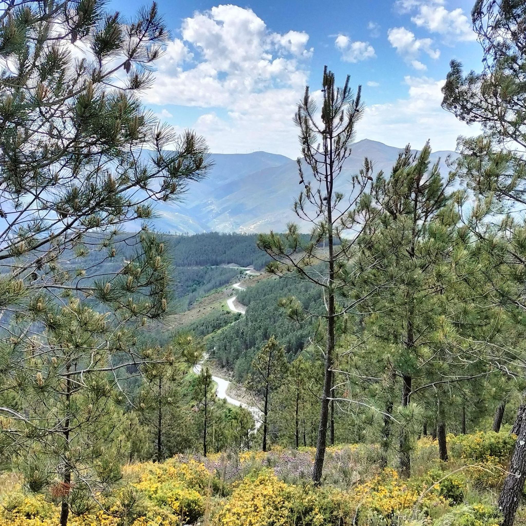
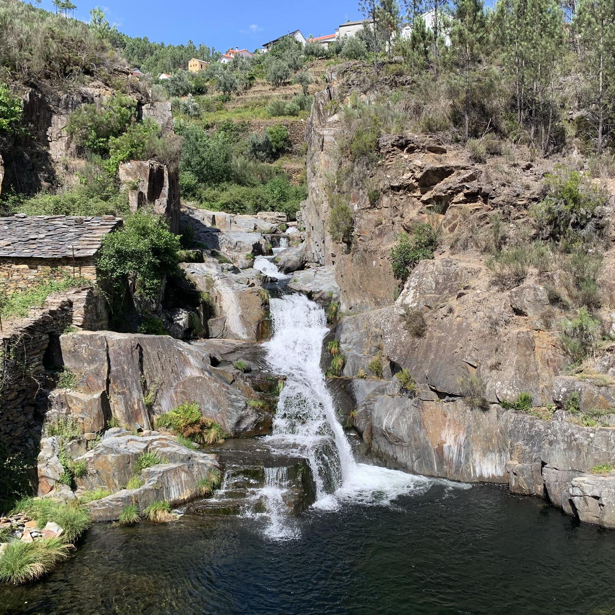
Tips from the Community

The Serra da Estrela Natural Park is something truly special. This 1,000-square-kilometer park, spread across six municipalities, was the first and currently the largest protected natural park in Portugal. It is home to the highest point on the Portuguese mainland, the country's only ski slope, the source of two important rivers, and a fascinating, alpine-like landscape formed by glaciers.
5
1

At exactly 1993 meters above sea level, Torre is the highest point in mainland Portugal, where the only ski resort is located. The landscape on the upper plateau of the Serra da Estrela is like a sprinkling of granite rocks over low scrub and patches of snow and ice, which the sun threatens to melt soon in the summer and which always returns the following winter. In winter, it sometimes becomes inaccessible.
6
0

Monte do Colcurinho is an imposing peak of about 1,242 meters in the Serra do Açor, Portugal. It offers spectacular views that extend from the Serra da Estrela to much of central Portugal. In addition to its natural beauty, it is an important religious site, with a sanctuary dedicated to Nossa Senhora das Necessidades, a destination for annual pilgrimages. It is a place that combines breathtaking nature and deep spirituality.
0
0

This trail is short in distance but huge in challenge. Known as the vertical kilometre of Alvoco, it takes you to conquer a thousand metres of elevation in less than four kilometres, a real climb towards the top of Serra da Estrela. However, it is not at all technically difficult. Each step is demanding, but from the first metres, the reward is the breathtaking views.
4
0
As the name suggests, this is a large hollow, an amphitheater sculpted by nature, where a lagoon lies that, on hot summer days, can disappear completely. Even so, the landscape remains stunning, imposing and filled with the overwhelming silence of the mountain.
1
1
At the Covão do Meio Reservoir, the waters give the illusion of floating on the horizon: a serene mirror suspended between the sky and the mountains. But the most surprising thing is the tunnel, over two kilometres long, that drains the excess water to Lagoa Comprida, in a piece of engineering that is invisible to the eye.
1
0

We were lucky with the weather, bright sunshine. There was still a lot of snow in May, children were able to borrow a bobsleigh and play in the snow. At a cool 8°C!!
10
3

It´s the highest point in Portugal (continental)
4
0
Frequently Asked Questions
How many running routes are available in São Gião?
There are 14 dedicated running routes around São Gião featured in this guide, offering a variety of experiences for different skill levels.
Are there running routes suitable for beginners in São Gião?
While many routes in the region are moderate to difficult, the São Gião River Beach area and its footpaths along irrigation channels offer gentler terrain suitable for easier jogs. These paths provide a natural and serene environment with refreshing shade.
What kind of terrain can I expect on the jogging trails around São Gião?
Joggers in São Gião can expect a diverse landscape. Routes often feature a mix of flat riverside paths along the Alva River Valley, footpaths next to irrigation channels, and more challenging inclines as you venture into the foothills of the Serra da Estrela and Serra do Açor mountain ranges. This provides opportunities for both scenic, relaxed runs and more demanding mountain running.
Are there any long-distance running trails in the São Gião area?
Yes, for those seeking a significant challenge, the region offers extensive trails. A notable example is the Oh Meu Deus 50k Trail, which spans 57.0 km and involves substantial elevation changes, making it ideal for experienced ultra-runners.
Can I find circular running routes in São Gião?
Yes, there are several loop options available. For instance, the Pico da Serra da Estrela loop from Loriga is a challenging 25.7 km route with significant elevation gain, offering expansive views within the Serra da Estrela Natural Park. Another option is the Monte Colcurinho loop from Casal Cimeiro, an 14.2 km trail through varied mountainous terrain.
What natural attractions can I see while running in São Gião?
The running routes often pass through or near beautiful natural features. You can explore the scenic Alva River Valley, enjoy the extensive beach area of São Gião River Beach, and experience the diverse terrain of the Serra da Estrela Natural Park. Some trails also lead to impressive landmarks like Cornos do Diabo.
Are there any waterfalls accessible from the running trails?
Yes, the region is known for its beautiful waterfalls. While running, you might find yourself near attractions like Poço da Broca de Serapitel or the Waterfall and natural swimming pool in Parque Natural da Serra da Estrela, offering refreshing sights along your run.
What do other runners say about the trails in São Gião?
The running trails around São Gião are well-regarded by the komoot community, with over 100 runners having explored the varied terrain. Users often praise the diverse landscapes, from serene river valleys to challenging mountain paths, and the stunning views offered by the Serra da Estrela Natural Park.
Are there any moderate difficulty running routes for a good workout without extreme challenge?
Yes, there are several moderate options. For example, the Running loop from Oliveira do Hospital e São Paio de Gramaços is an 8.5 km route that provides a good workout with manageable elevation changes, perfect for a steady run.
What is the best time of year to go jogging in São Gião?
São Gião offers pleasant conditions for jogging for much of the year. Spring and autumn provide mild temperatures and vibrant scenery. Summer can be warm, but riverside paths and shaded areas, particularly around the São Gião River Beach, offer cooler options. Winter runs are possible, especially on lower elevation trails, though higher mountain routes may require more preparation due to colder conditions.
Are there any historical or man-made landmarks along the running routes?
Beyond natural beauty, some routes incorporate historical elements. For instance, the Cornos do Diabo – Aqueduct of the Caniça Route loop from Lapa dos Dinheiros includes the notable Aqueduct of the Caniça Route, offering a glimpse into the region's heritage while you run.
Is São Gião suitable for family-friendly running or walking?
The area around the São Gião River Beach, with its extensive beach area and footpaths next to irrigation channels, provides a relatively flat and safe environment ideal for family-friendly jogs or walks. The shade from various trees also makes it comfortable for children.
Most popular routes around São Gião
Most popular attractions around São Gião

Get inspired with the komoot mobile app


Explore more
Browse the best Running Trails & Routes in other regions.
